|
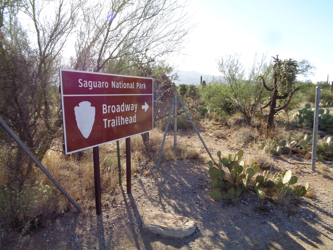
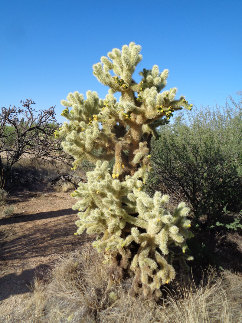
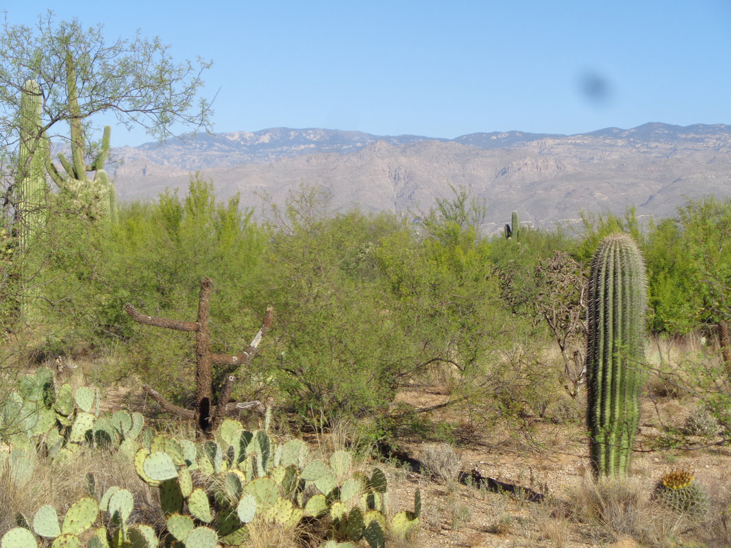
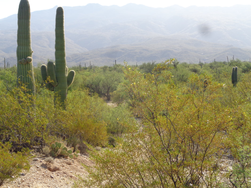
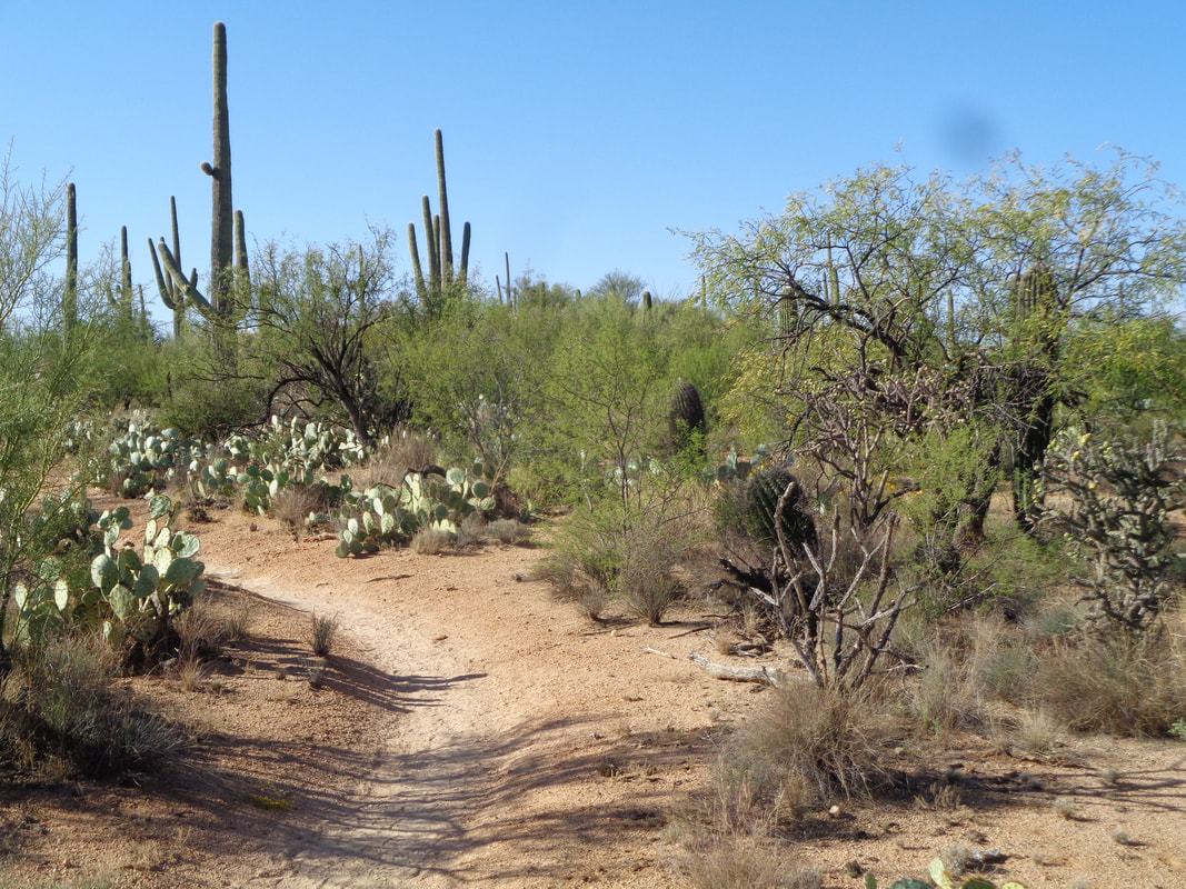
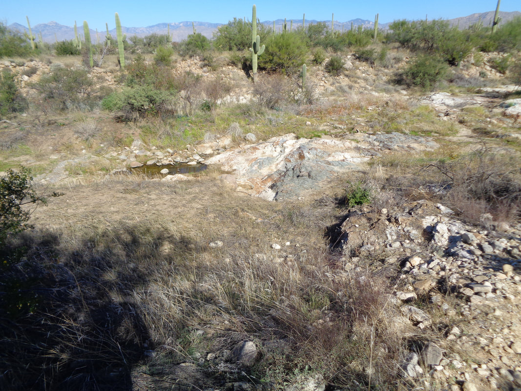
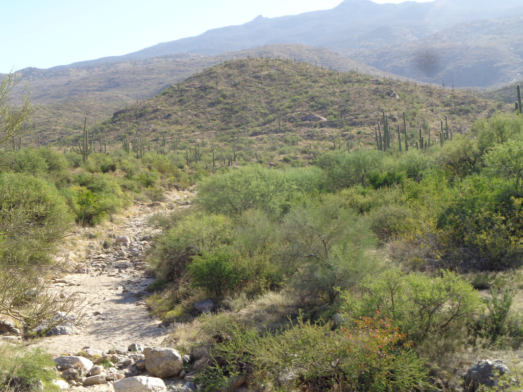
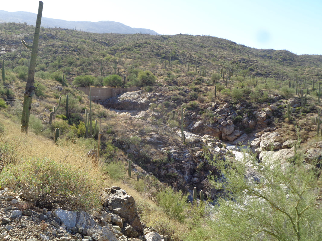
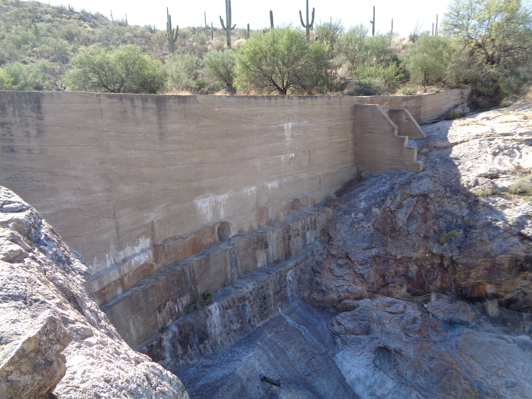
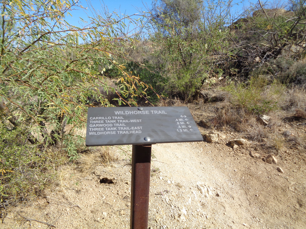
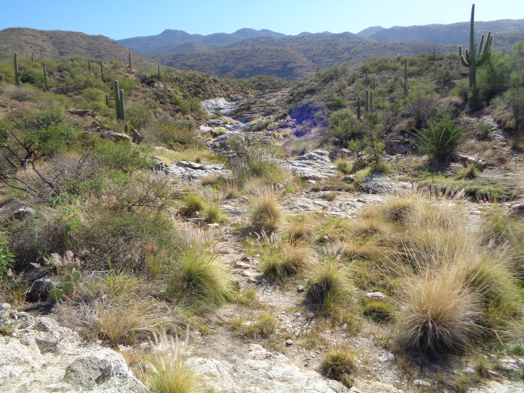
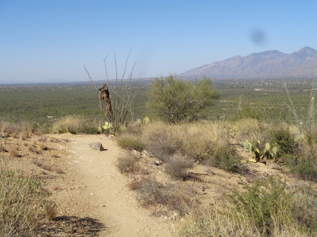
A never before visited trail head on Broadway, east side of Tucson. I had recently read about "Pink Hill" and a dam that seemed worth a visit and I am always up for seeing a new part of the area. This hike starts in the Cactus Forest Complex of Saguaro East National Park. Be warned, this area is a maze of trails with confusing signage. Now there's a fine example of a Jumping Cholla cactus. The flat with slight rolling terrain is at the base of the western side of the Rincons. Wait...those are the Catalinas..... ….ok, here are the Rincons as I look east with a rising sun slightly above. The trail is one of the few around here that is very runnable so I do so off and on to quicken the pace. I arrive at Pink Hill and am perplexed that it was ever designated as a hill. I'd like to show you amazing far off vistas but the view didn't differ much from standing anywhere else in the area. I find my way, while passing through numerous trail junctions to this little wash with some standing water. I cross the wash and in the distance I can see what appears to be a trail rising from left to right toward what is likely Garwood Dam. Garwood was a rancher who constructed a dam in the 1920's and so eventually, I round a curve in the trail and.... ….sure enough, there it is! It is located in Wild Horse Canyon. Upon arriving at the dam, I encounter 3 park rangers who are out spraying the invasive Buffelgrass. Impressive. The area above the dam has filled with silt so little volume to hold water now. The trail leads me on the only real ascent where I drop into the canyon for a quick visit. Looking up and down canyon at the many slick rock areas, it would be a good place for exploring some other time. I retrace my steps and reach.... ….the typical signage. There are dozens of trails and without a map, you are screwed for a first time visitor. During my return, I run into two separate couples who have maps but are lost. I help as best I can and tell them I don't want to read about them in the newspaper tomorrow. In each case, I advise them to go back to the trail head from where they started and not attempt to complete a loop which will have many intersections to navigate. I became lost. It happened at a point where 3 trails merged and each had a sign with multiple and seemingly contradictory diections. Fortunately, I whipped out my gps navigation devise (cell phone with Strava mapping). While the trails are not named on my app, I can interpret the dotted lines and figure out whether to go right, left or straight. I eventually get it figured out and soon..... ….reach a point where I can see the southwest tip of the Catalinas, pick out other land marks and know I am headed in the right direction. Finished with 9 very flat miles with only 650' of elevation gain and no mountain top views:(
0 Comments
Leave a Reply. |
Categories
All
Archives
November 2023
|
