|
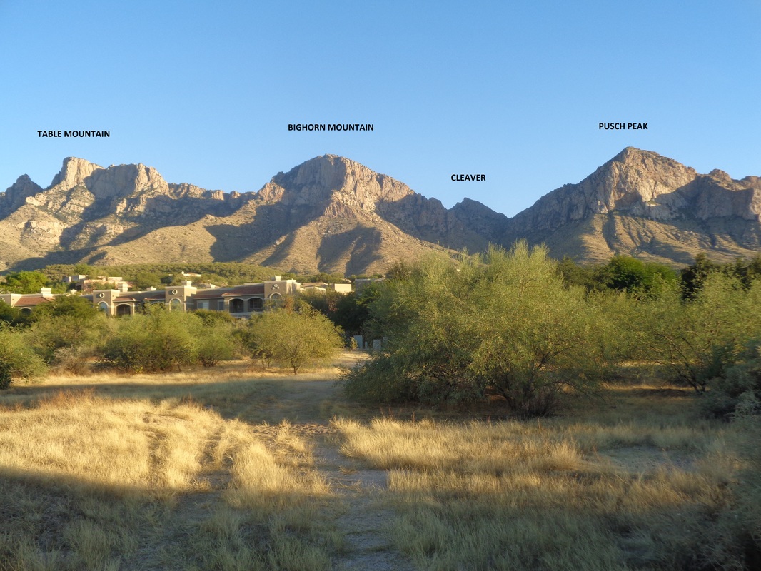
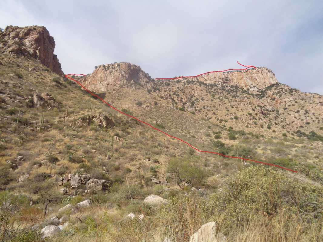
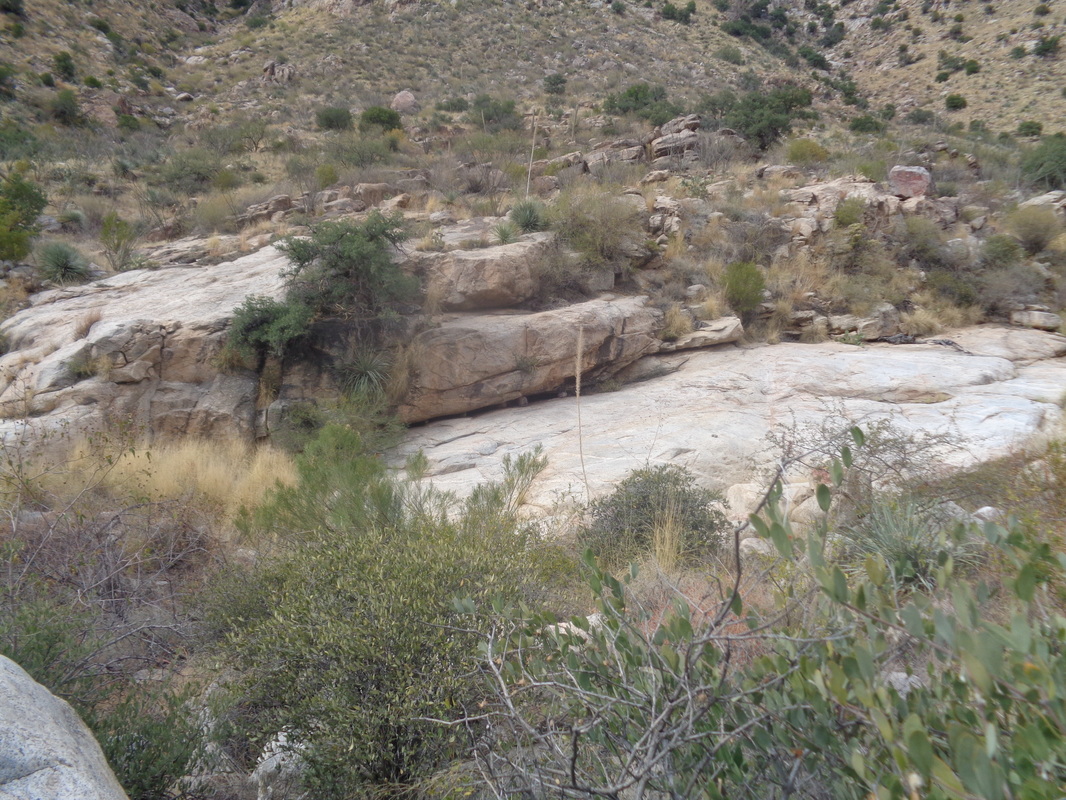
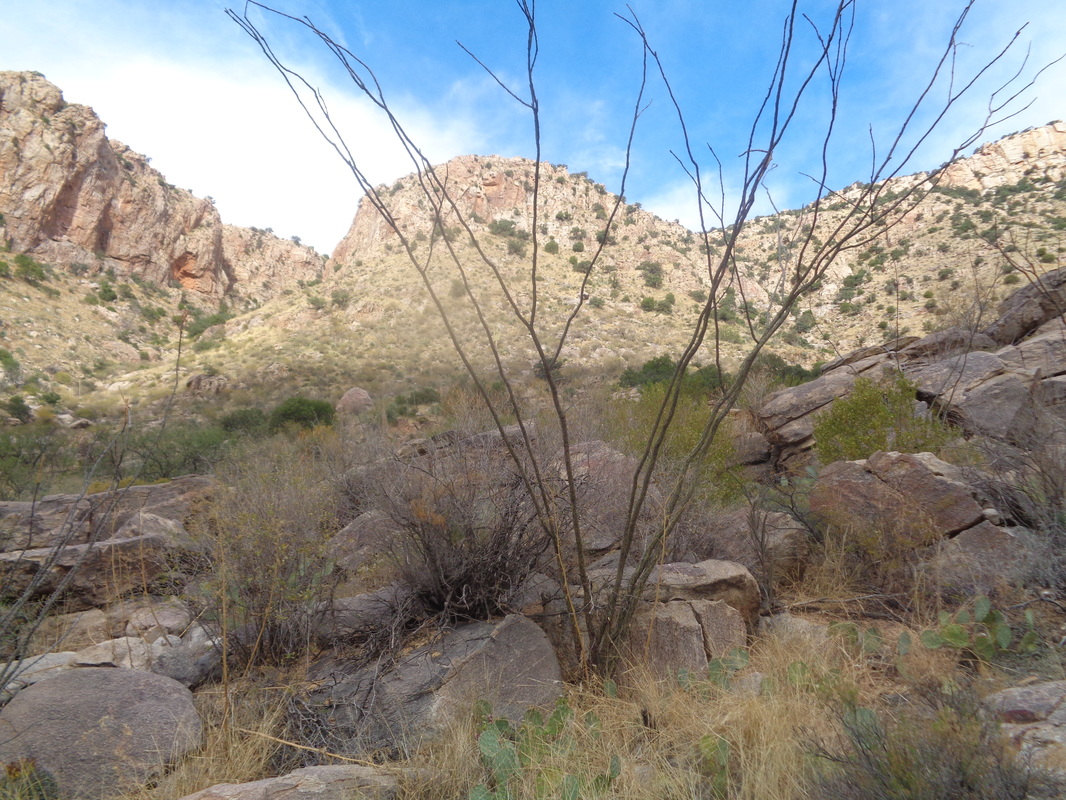
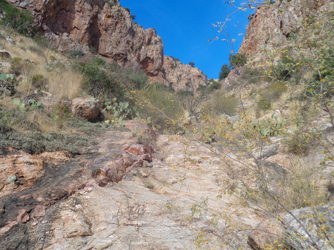
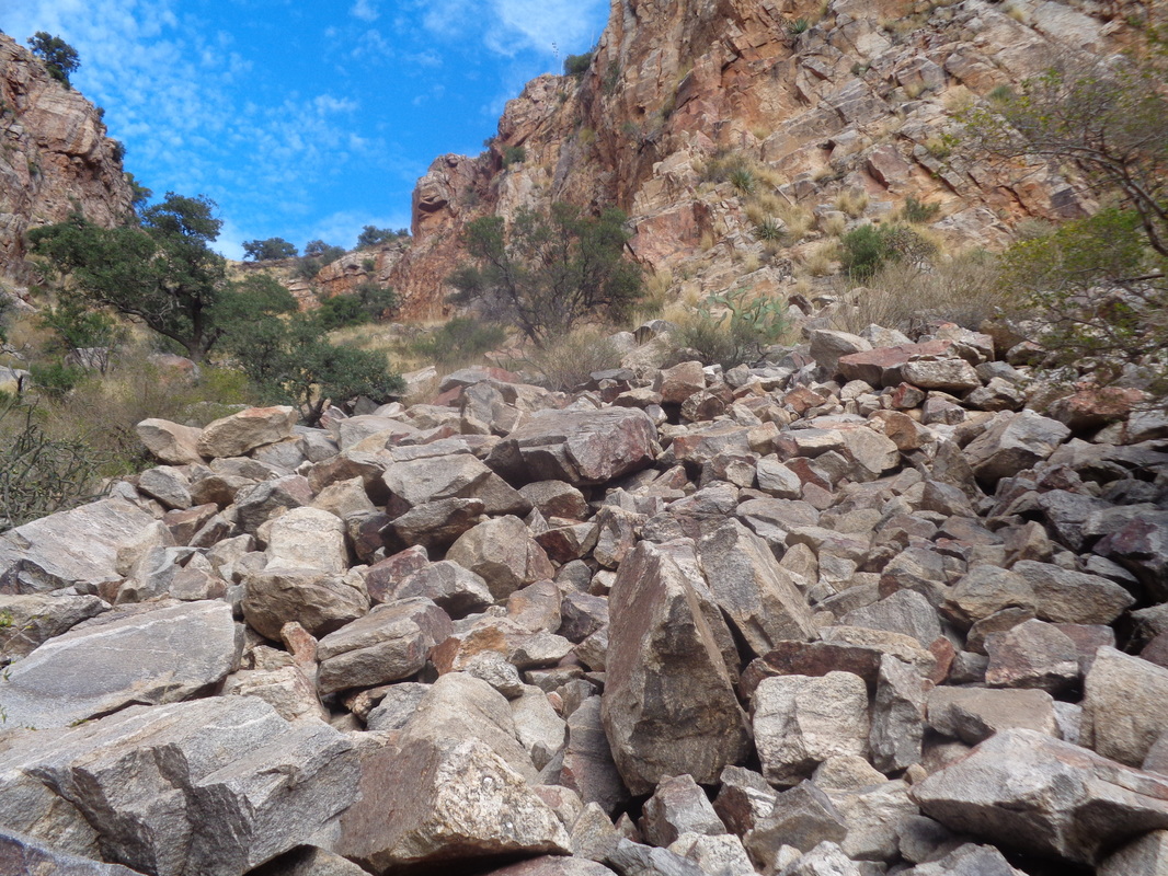
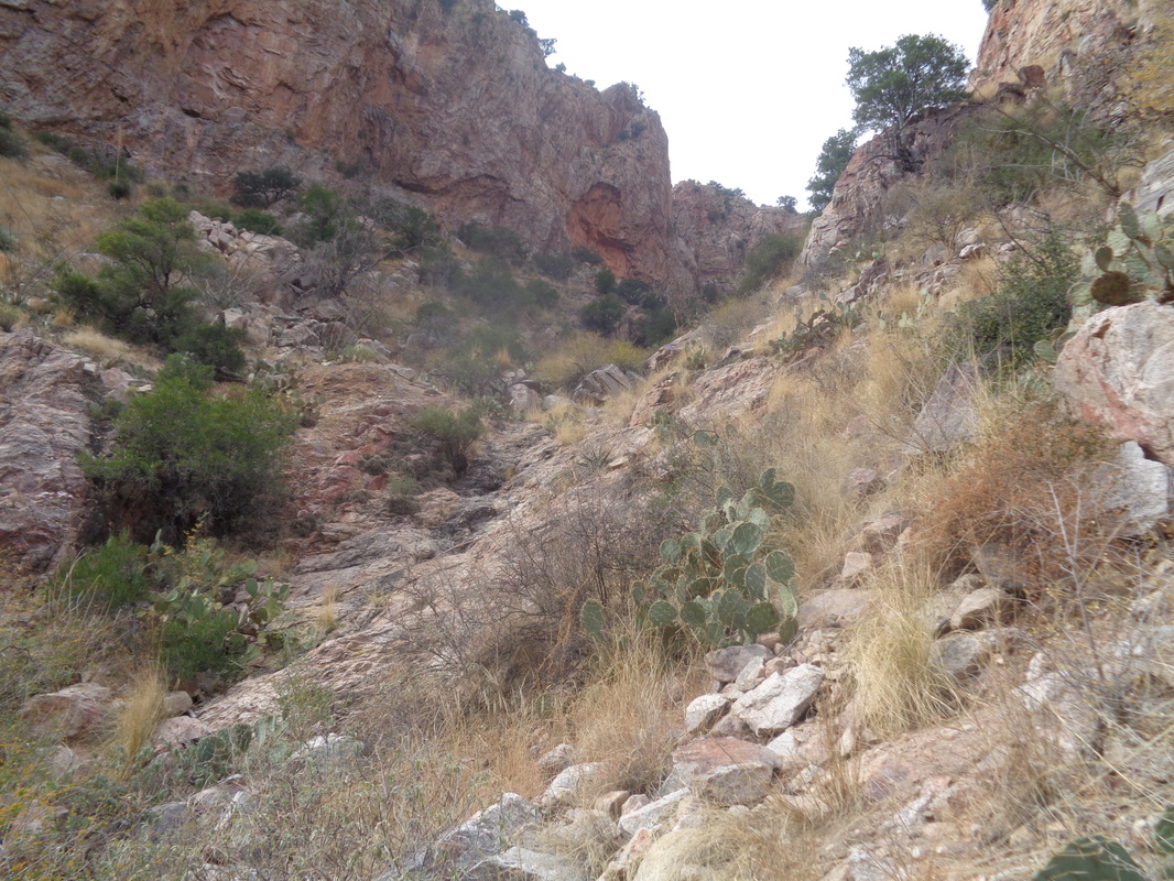
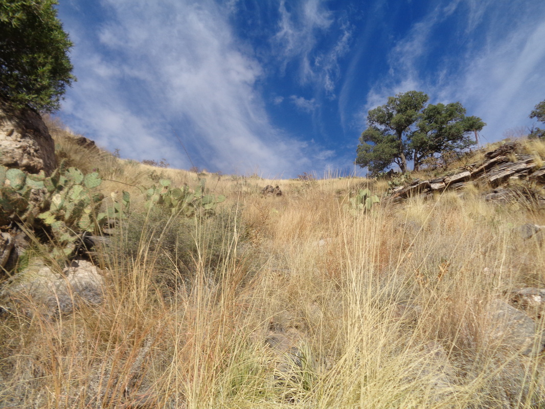
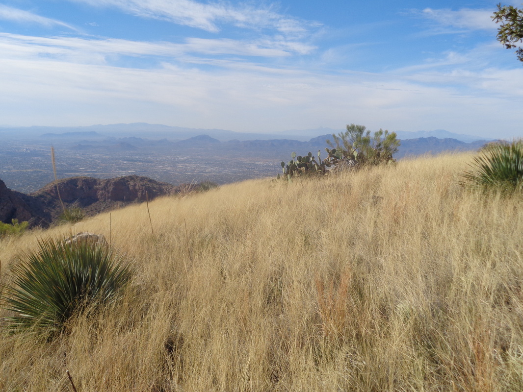
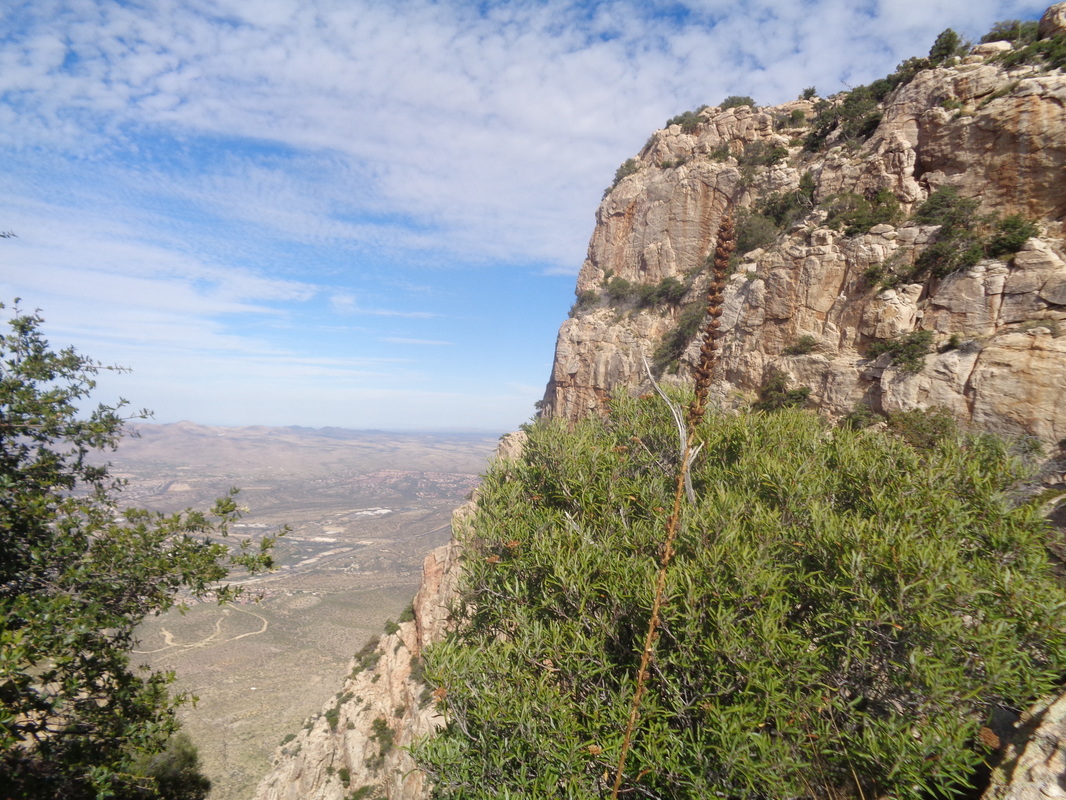
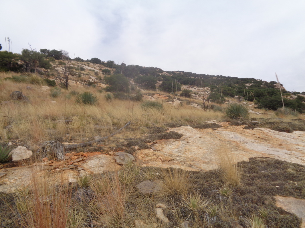
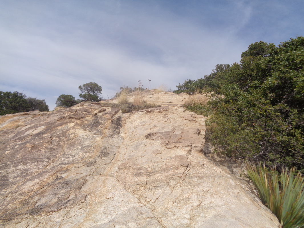
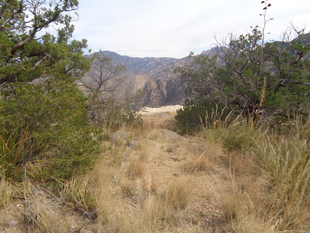
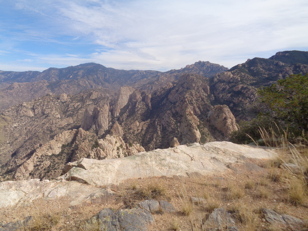
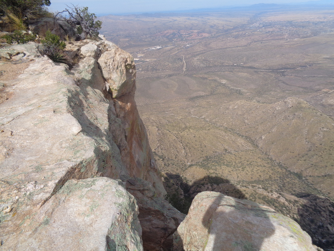
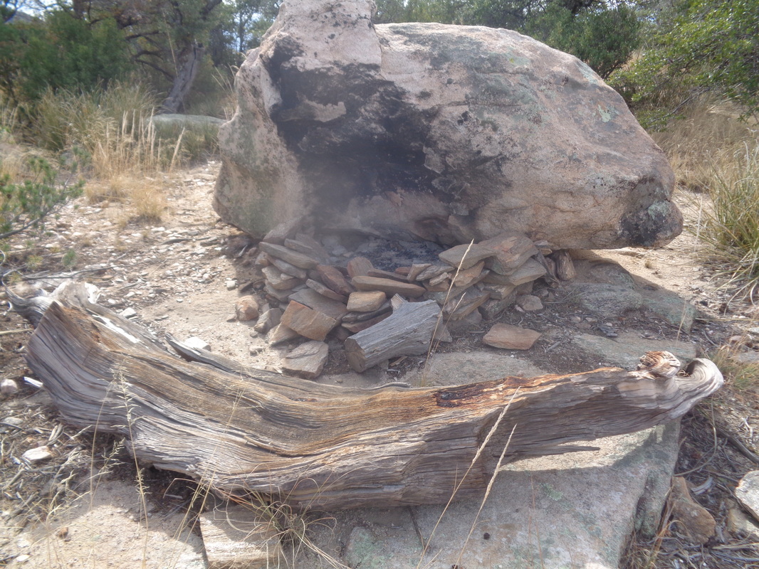
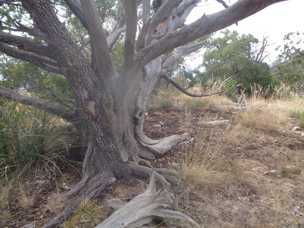
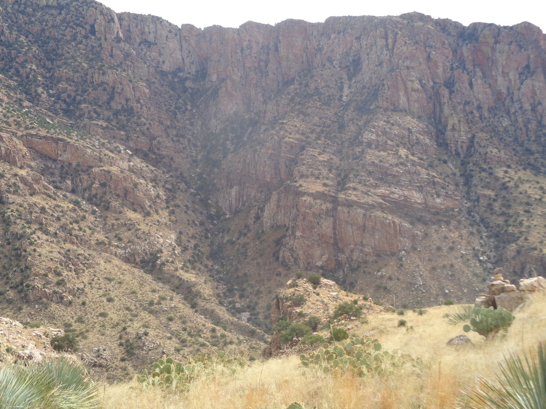
Above are the mountains behind our place in AZ. I've been up to Pusch a few times. the Cleaver once, Bighorn once, the ridge between Bighorn and Table once but never to the top of Table. There is a good reason, it is a 10 mile hike with 4 of that off trail bush whacking up very steep slopes. Today was the day. Cloudy with a high around 80, light winds. I shoved off from Pima Canyon trail head prior to 8:00am. Although various sites say to follow Pima Canyon trail for 3 miles, my Garmin said 3.3 prior to reaching the point where a drainage came off the left side, indicating the time to plunge into the wilderness. Above, I used a red line to kind of show the route one must take. The image makes it appear to be a shallow grade but it is not. So, so steep and with no trail, it takes time to choose the way forward through catclaw, shindaggers, cactus, etc... The above is the point I left the trail and headed just left of the rock slab to access the drainage/canyon. I wondered, would the route take me up the left drainage or the right drainage with the slope of Table Mountain on the far right. It was to be the left, which meant a long slog once I reached the ridge and turned right to the peak. Typically, the bottom of these drainages are thick and overgrown with pointy things and today was no exception but there were a couple of sections that had slick rock that made the way forward easier, in spots. I came to this boulder field. Although risky, I prefer jumping around in here over slogging through brush. Nothing ruins a hike like stepping on a boulder and having it jump into a shin but I stayed on pivot points, and plotted the way up. I was carrying a hiking pole for balance and the machete. I was acutely aware that falling in here with a machete would be a problem. My plan was to fling it should I begin tumbling. Another slick rock area, always welcome and then, around the corner to the right and... ....a very steep ascent to a ridge where..... ...marvelous views to the southwest. The grass was thick and hid rocks so the going was very slow. I frequently checked a gps route I had downloaded last night. It is comforting to follow this but really, the person who posted the route had no special route knowledge, just get from point A to B to C as best you can. There was little evidence anyone had ever been this way before. However, there was plenty of evidence that 4 legged critters were around. Eventually, I reached this point that gave great views of Oro Valley to the west but it was sobering to know I had so much farther to go and so much more climbing. I considered turning around here but if I did not keep going, when would I? A couple of internet reports suggested staying to the east side of the Table as it narrows but I think, just staying in the middle is the correct approach. I take images where terrain and vegetation allows so naturally at those times it makes the hike seem easy. It is not! So many pauses as I try to figure out how to get over or around obstacles. I came to this steep, slick rock area and thought, this must be the final climb but it was not. More dodging around cliffs, boulders, Pinion Pines, etc... and then..... .....could this be it? The answer.... ....YES!!!!!! What is the appropriate verbiage to use in this situation of immense relief and self satisfaction.......as usual, it involves colorful language. Many hundreds of feet straight down but alas, I could not get a good pic to represent the drop. I walked to the rim and peered over several times but ya know, kept a few inches between me and the edge. Didn't want a mountain lion to surprise me and shove me over. I read there was a spot where people have camped and I found it. Not too far away I found an unusual pile of rocks and after pulling the slab/lid off the pile, found a plastic jar with a notebook and pen inside...the summit registry! Mine was the first entrant since February. Probably a couple others have been up here since then but maybe not. Difficult to see but there is a wildlife camera attached to the right side of the tree. Nice to know there is enough activity up here to warrant the placement of a camera. Well, time to go and I began the slow and long process of navigating back through the wilderness. I was relieved to reach this point where I could see where I needed to plunge back into the drainage, just to the left of the rock outcropping, center right. 10 miles and 3700' of climbing. Hard, hard hike made so not by the distance or the elevation gain but by the super bush whacking, off trail part of it. My total time from the parking and back was 7:30 so very slow but again, it's the conditions, not the distance.
3 Comments
Phil Livingston
11/20/2016 04:38:57 pm
I enjoyed the photos and description. It's nice that there are many hiking attractions there in Tuscon. I can relate to your difficulty putting into words the euphoria at achieving a hiking goal. The hard work is rewarded with spectacular views and a deep feeling of accomplishment. Well done, my friend.
Reply
Mark
11/20/2016 06:20:05 pm
Thanks Phil!
Reply
Elizabeth
3/6/2019 10:47:35 am
What a great blog! I have lived in Oro Valley for about 7 years, from MI, and I have yet to achieve that climb. I have climbed to the top of the trail in Catalina State Park only once, and not over the side to the pools even. You are one heck of a hiker!
Reply
Leave a Reply. |
Categories
All
Archives
November 2023
|
