|
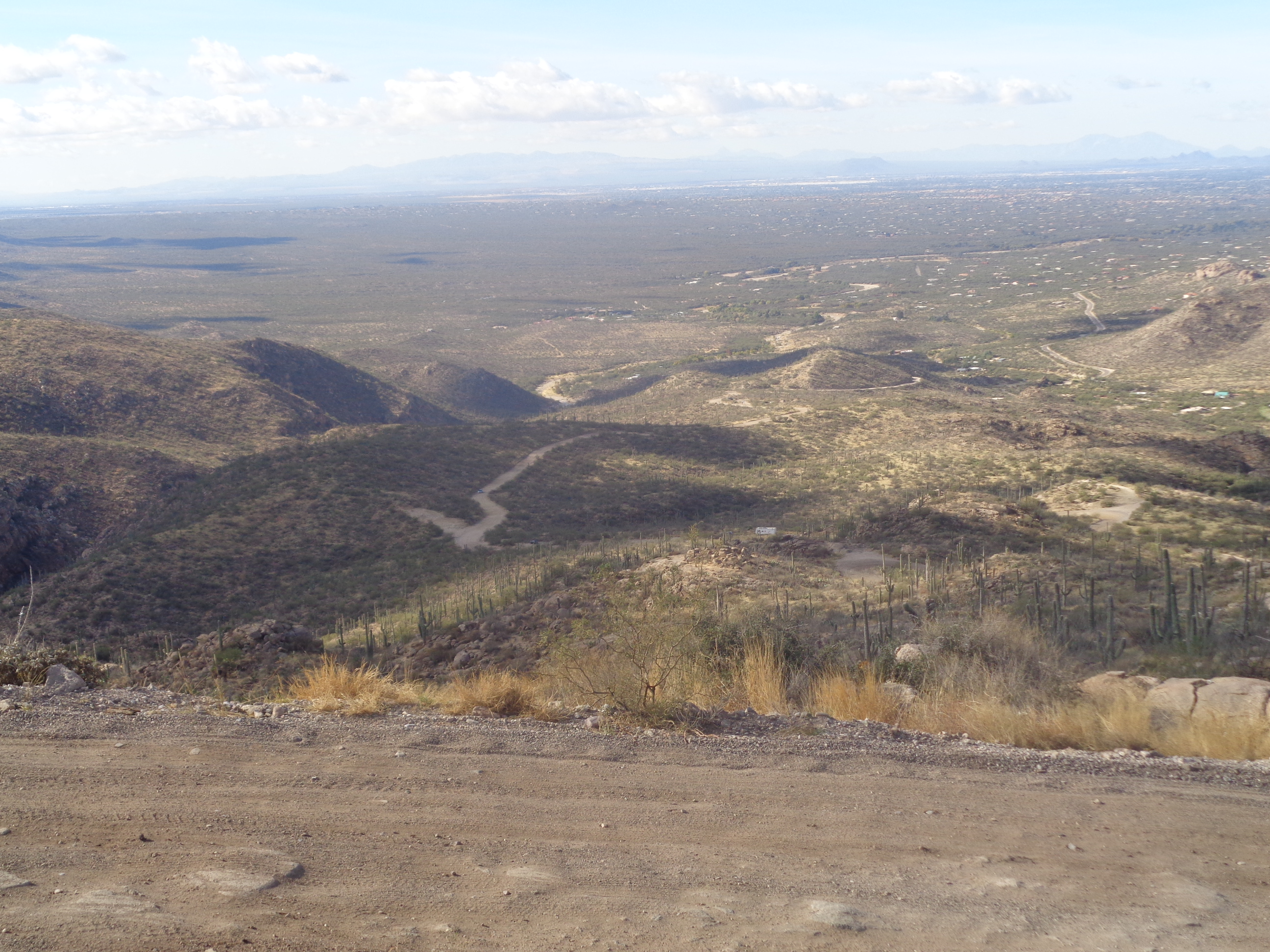
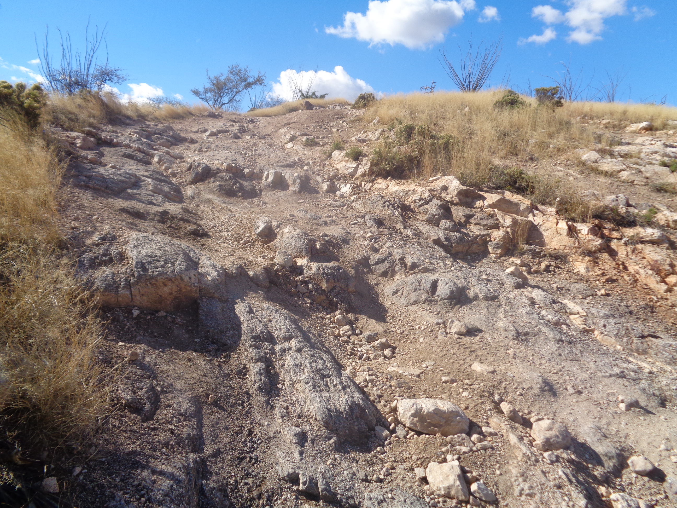
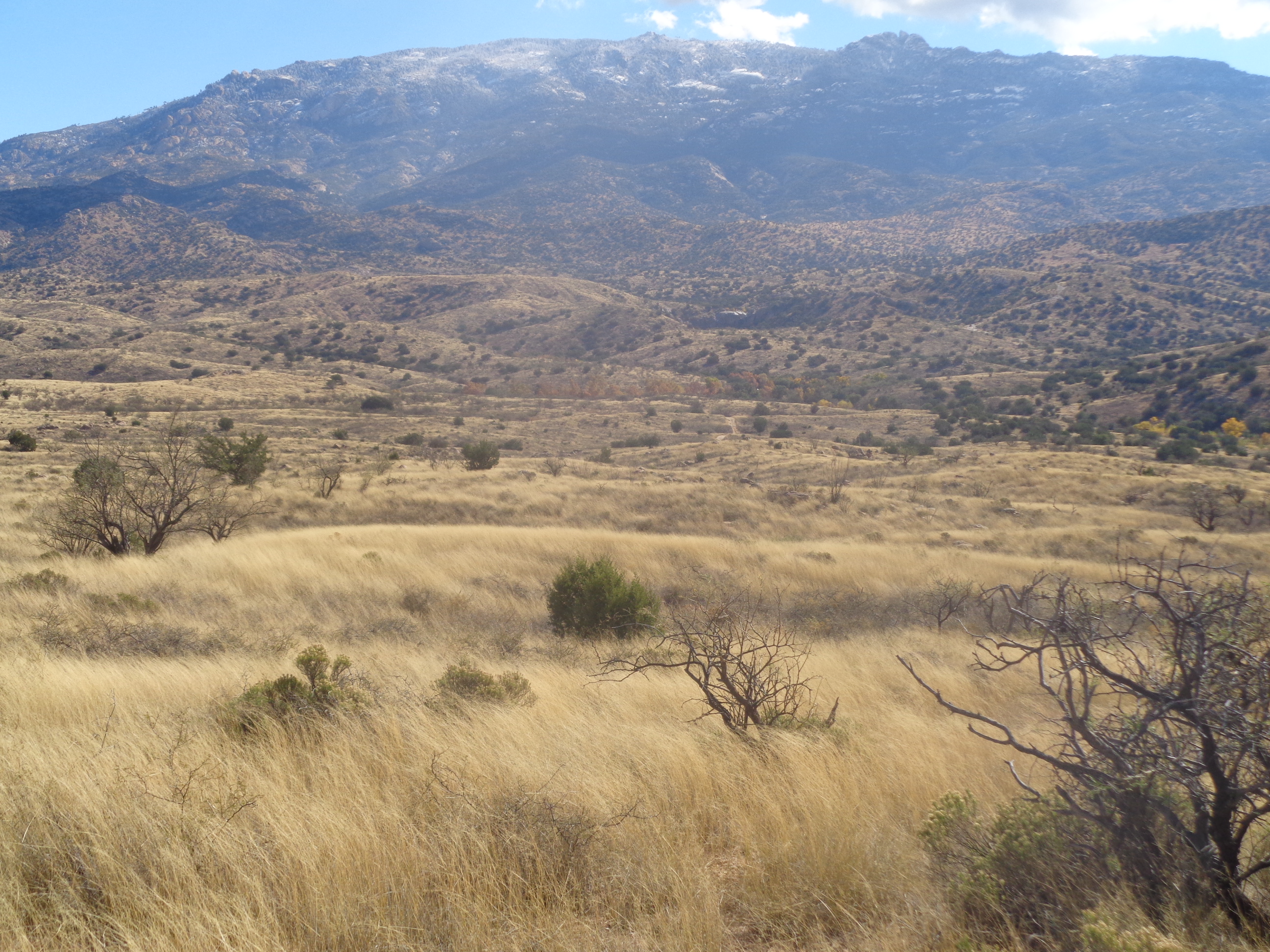
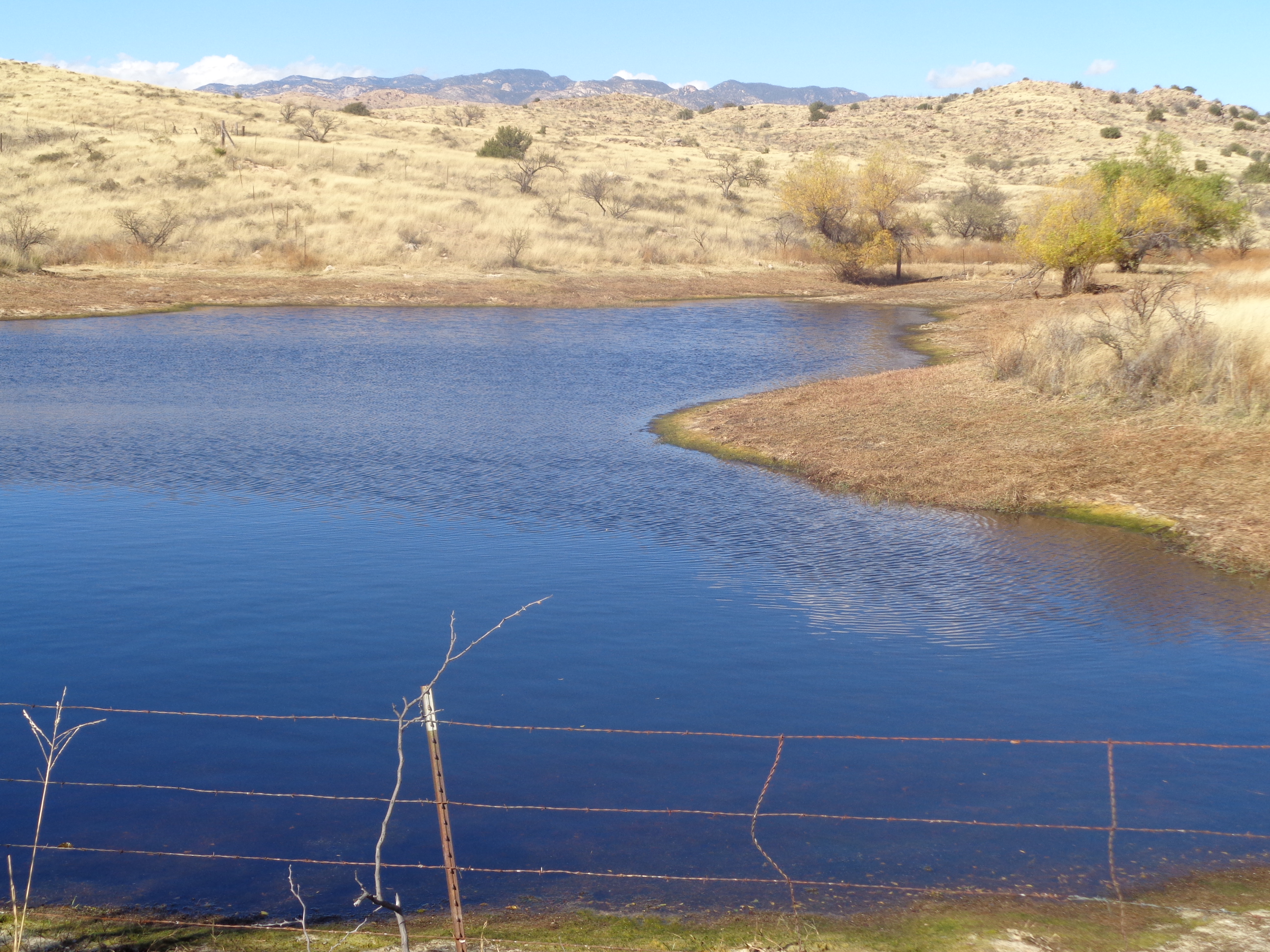
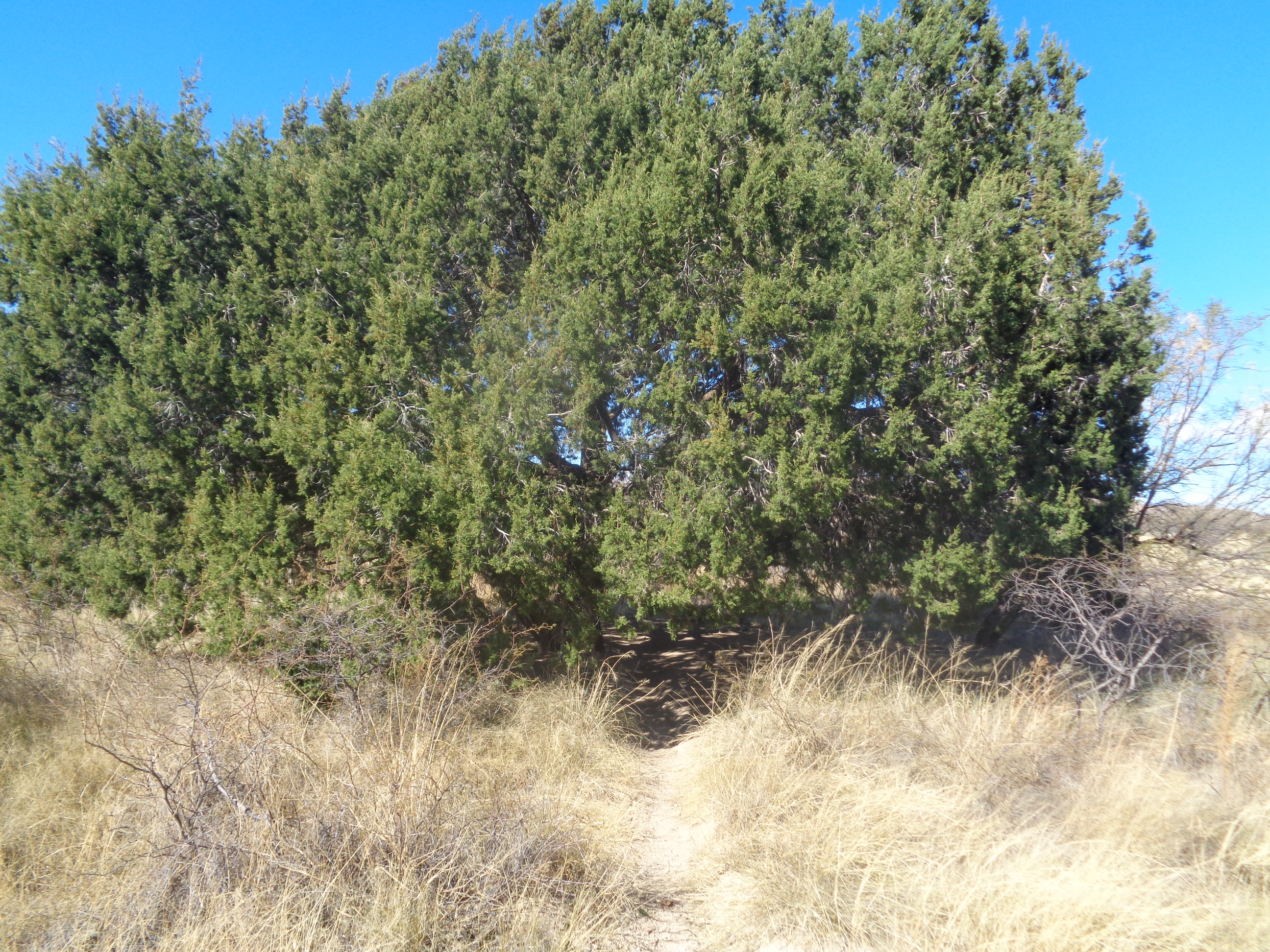
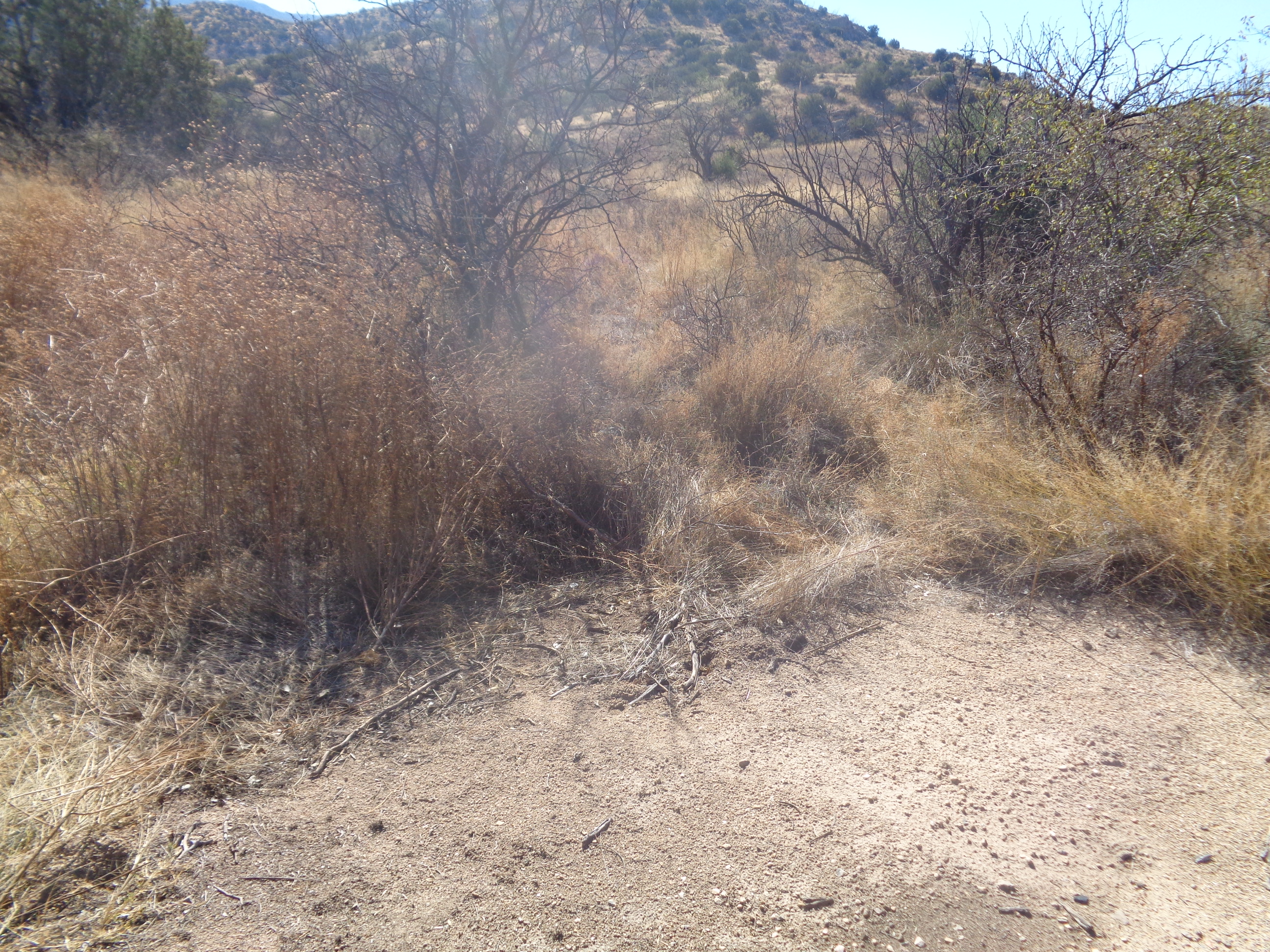
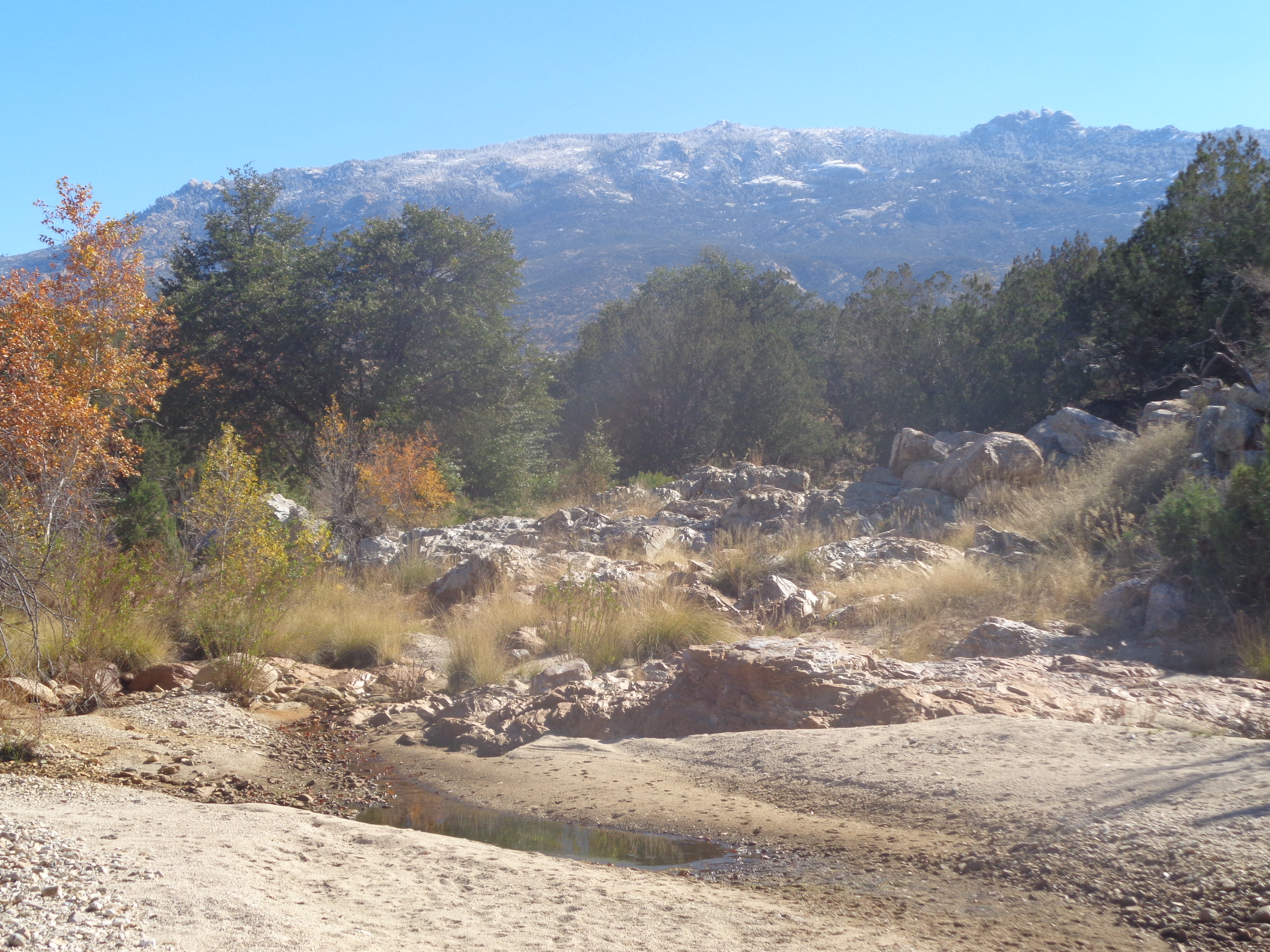
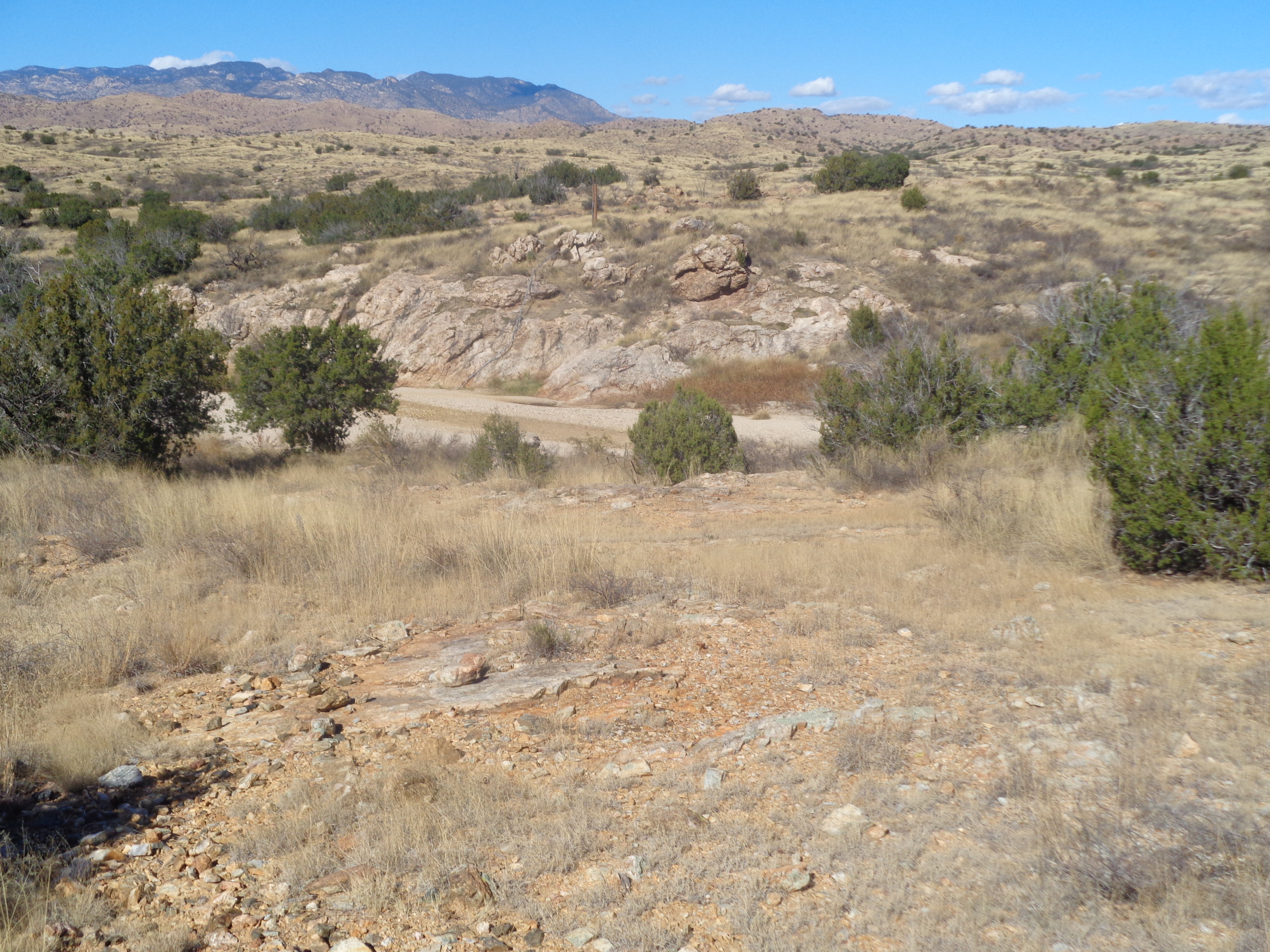
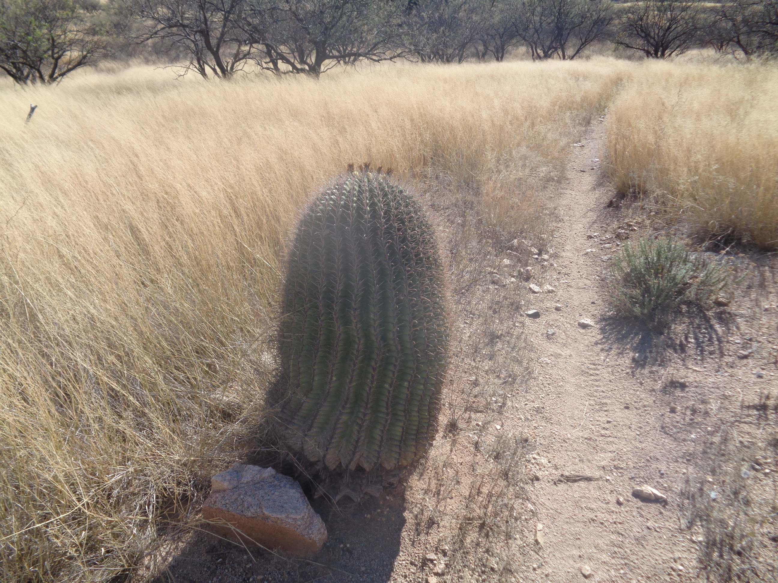
I drove east on Tanque Verde Road where the name changes to Reddington Road and continued to where the pavement ends. Then things got interesting but I managed to cover the remaining 4.3 miles to a cattle pen with a pullout on the right side. The road was steep in places and requires a pause now and then to make sure I chose a path that would not scrape the bottom of the car. You can drive from the road to the Falls but it requires a very, high clearance vehicle with 4-wheel drive. Also a popular road for motorcycles. The Rincon Mountains in the distance with snow at the highest elevations. The foothills leading to the base are kind of boring to walk as I followed the "road". There were places I could not imagine anything with 4 wheels getting through. How about that...a real pond! A few steps farther and I left the road for a dirt path that was easy to follow and eventually went.... ....through this tree, the only one of its kind in the area. The path reunited with a forest service road and all was well but after making a right at the road, the GPX track I was following abruptly turned..... ....into this thicket at about mile 3. Hmmm, this did not look or feel right yet I followed the track and soon it led into.... ....this sandy wash. I crossed and kept walking but saw no evidence anyone had been here. No rock piles, no faint trail, nothing. This can't be right so I turned around and made it back to the road. I poked around for awhile but always found myself off the gpx track by a wide margin. I decided to pack it in and return to the trail head. A lone cactus guards the dirt path. Got in around 7.5 miles but still scratching my head about the route. Too bad. The falls, about 90' is supposed to be spectacular. Maybe another time.
0 Comments
Leave a Reply. |
Categories
All
Archives
November 2023
|
