|
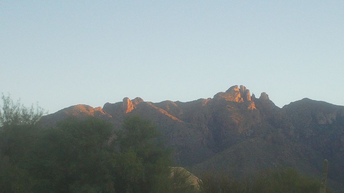
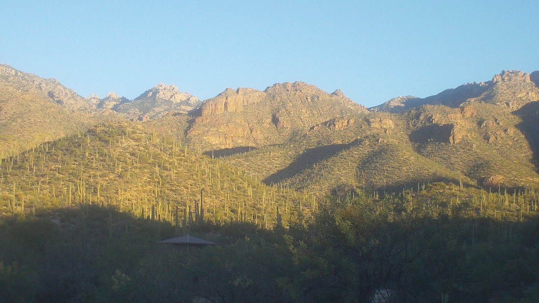
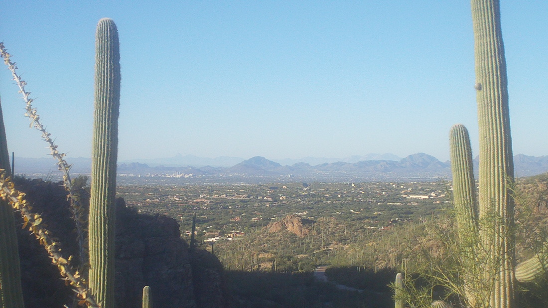
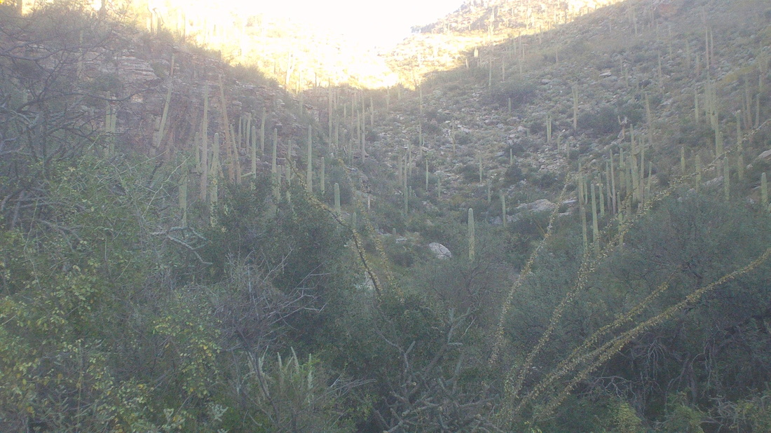
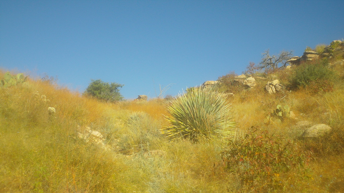
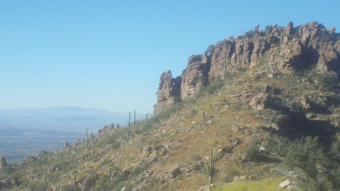
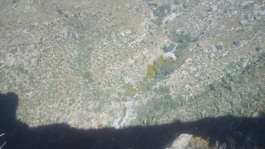
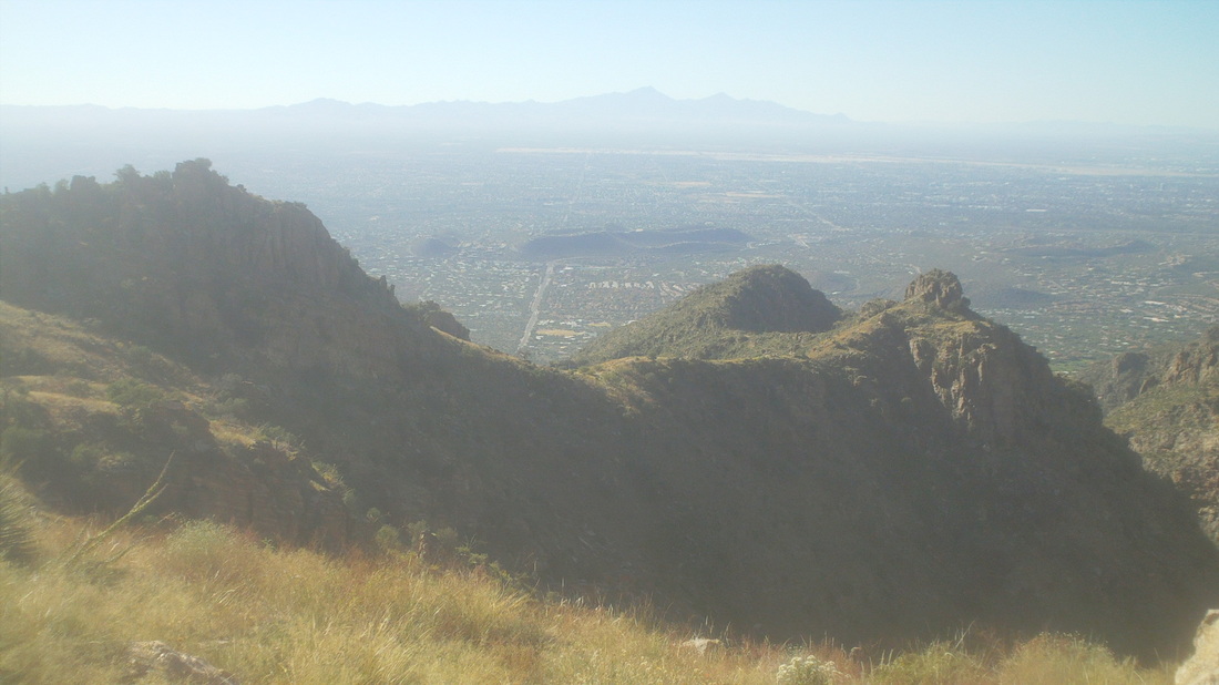
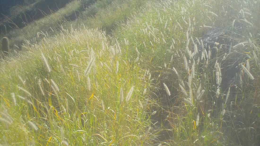
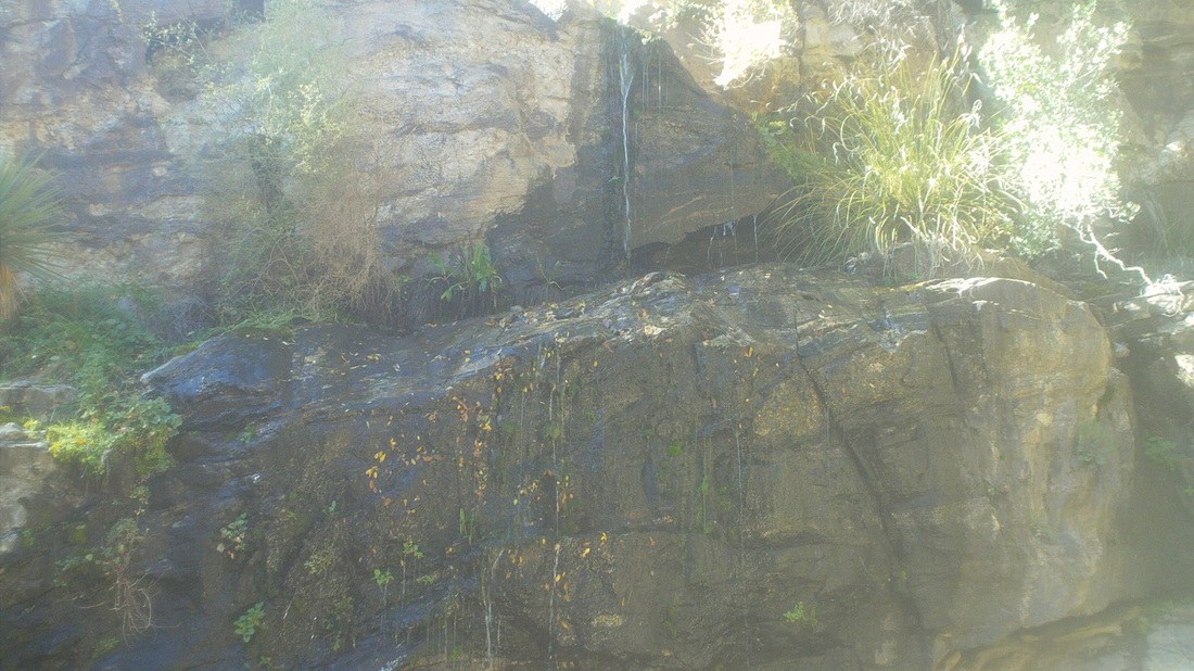
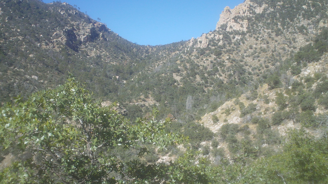
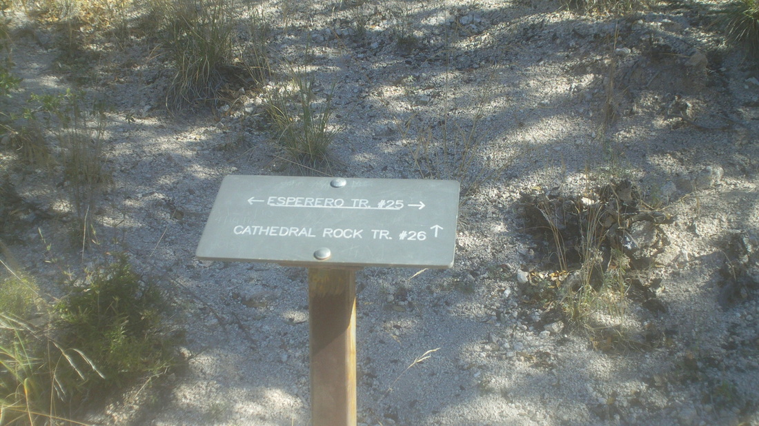
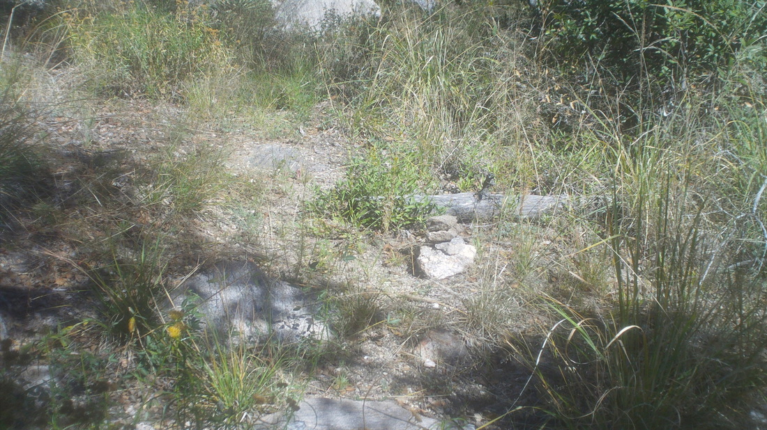
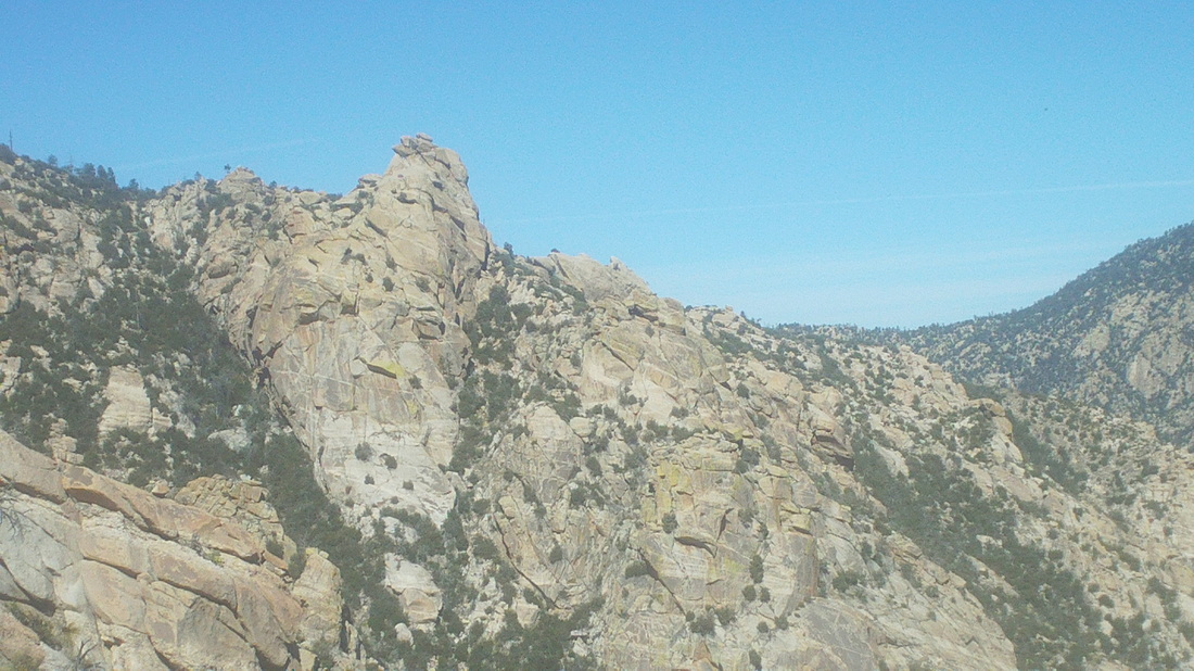
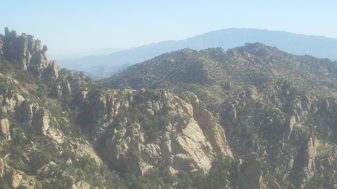
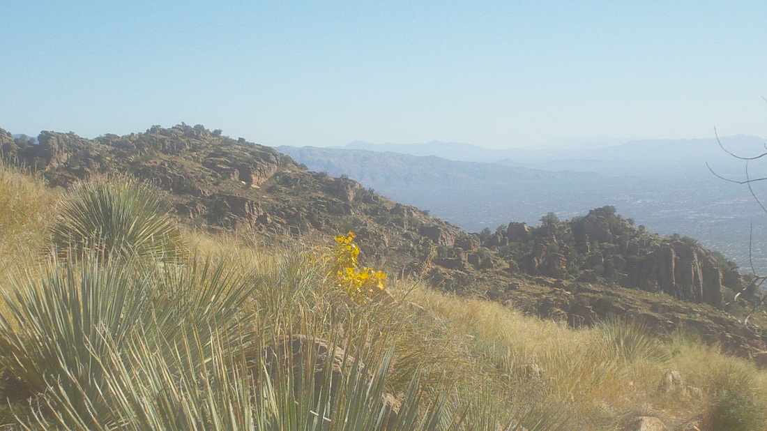
On Friday, while hiking Sombrero Peak with Vagabond Jeff, he described a hike that sounded very cool, Cathedral Rock. He described the environment at the top as "surreal" so while watching that great Buckeye game, I decided to do the hike and began searching the internet for hiking reports. Note to self: Don't read hiking reports while watching football, too distracted During the drive Sunday morning, the rising sun hits the top of the Catalina Mountains. Maybe you can see Finger Rock, shrouded in shade, center right. The hike originates in Sabino Canyon and somewhere up there, 9 miles distant and 6000' of climbing, is the destination. I shove off at 7:15, temperature is 55ish with a forecast high of mid 80's in the valley, ensuring it will not be too cold at the top; mid 60's. I figure worst case I can cover the 18 miles, with playing around time at the top, in 10 hours. After a couple of miles, the views to the southwest appear. Way, way out there on the last ridge is Baboquivari Peak and to the right, Kitt Peak. The trail, Esperero, reached a ravine that is climbed and described by the locals as "Cardiac Gap" Always a welcome sight, the end of a long climb that is kind of steep but many would be more deserving of the "Cardiac" designation. At the saddle, the views, already fantastic, become more so. Looking to the interior, water is heard gushing far below. The trail eventually crosses into the canyon but much farther upstream. The trail now circumvents the canyon, rising slightly as it skirts "Geronimo Meadows". I had brought about 4.5 liters of fluid, which was plenty. One bottle, frozen from an overnighter in the freezer, I hid at the above saddle at mile 3. Dang, did that taste great when I returned. The rains from the monsoon season have produced a bumper crop of various grasses, that obscure the trail and any reptile that may be lying in wait. I'd hate to have my skinny legs mistaken for a meal. Wearing hiking shorts was a big mistake. Walking so far, through so much of the above, took a toll on my legs. Upon descending a bit into the canyon, and then ascending along it's bottom for about a mile, one reaches a prominent spot, "Bridal Veil Falls" So named because the mist from it resembles a bride's veil, although it was not obvious to me. The water was running strong and would be a good source if one had a filter. Emerging from the canyon on to a ridge that parallels it, groan, I still have a long way to go, assuming the above is where I will find the Cathedral Rock Trail junction. But..... ....very soon I reach the trail marker as it is well short of where I expected it to be. My failure to carefully read hiking reports caused two big mistakes. One, Cathedral Rock Trail does not go to Cathedral Rock. I am going in to some detail because as soon as I arrived home, a notice popped in via email that a group was going to do this hike in a few days. They'll have an opportunity to read this so, ascending CR trail, I came to a rock cairn. Odd since there had been none other than at stream crossings. This must have some significance, right? I looked around and there was something similar to a cut-off golf shaft to the left, pointing uphill. Farther up, there was some litter but no trail that I could discern. I retreated to the cairn and proceeded forward, finding another cairn and so I kept going. The trail was very faint and with all the overgrown grass, skirting a wall to the left and sharp drop to the right, I began to wonder if I had gotten on to a game trail. Some large animal suddenly bolted from the underbrush but I could not identify it, so thick was the coverage of trees and brush. I was just giddy it was going the other direction. The trail ascended slightly, eventually reaching the saddle, center/right, above. Here was my 2nd big mistake. Reaching the saddle, there was a very faint trail going to the left but a row of stones and branches crossed it. That is a common marking to signify that you should not go that way but stay on the current path. Now I had great views into the interior of the wilderness. I was about at mile 8 and now plunged downward into what was a north facing slope and the vegetation changed dramatically. Down and down and with it my sense of confidence that I was headed in the right direction. I was not. I was headed toward a feature known as "Hutches Pools" and a 24 mile loop ending at Sabino Canyon. Yikes. I retreated to the saddle but now, it was too late and at the time, I was still oblivious that the side trail with stones crossing it was the way to go. My sense of some anxiety did not let up until I got back to that cairn and then the Esperero trail. Some of you are thinking, "Dude, you should have a GPS device." I have one but lack of proper preparation led me to think it was a straight forward march to my goal via a trail named for it. Oh well, finished with 17 miles and 5500' of climbing. Legs feel good other than the areas subjected to thousands of grass cuts.
3 Comments
Polar Vortex
11/10/2014 10:16:38 am
You are so lucky to not be here. Keep the reports coming, it distracts me from the suckish weather coming here in Ohio.
Reply
Brevet Girl
11/10/2014 10:02:33 pm
The scenery there is amazing. Makes me want to go. yep a crazy group of us is riding Sunday...40% chance of snow then. I am hoping it doesn't happen. highs in the 30s...
Reply
Randonneur Boy
11/11/2014 11:49:00 am
Suffering in the cold makes you appreciate the wonderful, warm summer weather! You will be prepared for December's permanents! Good luck and I hope your group doesn't get any flat tires! Oops, did I just jinx you?
Reply
Leave a Reply. |
Categories
All
Archives
November 2023
|
