|
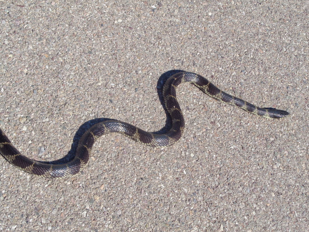
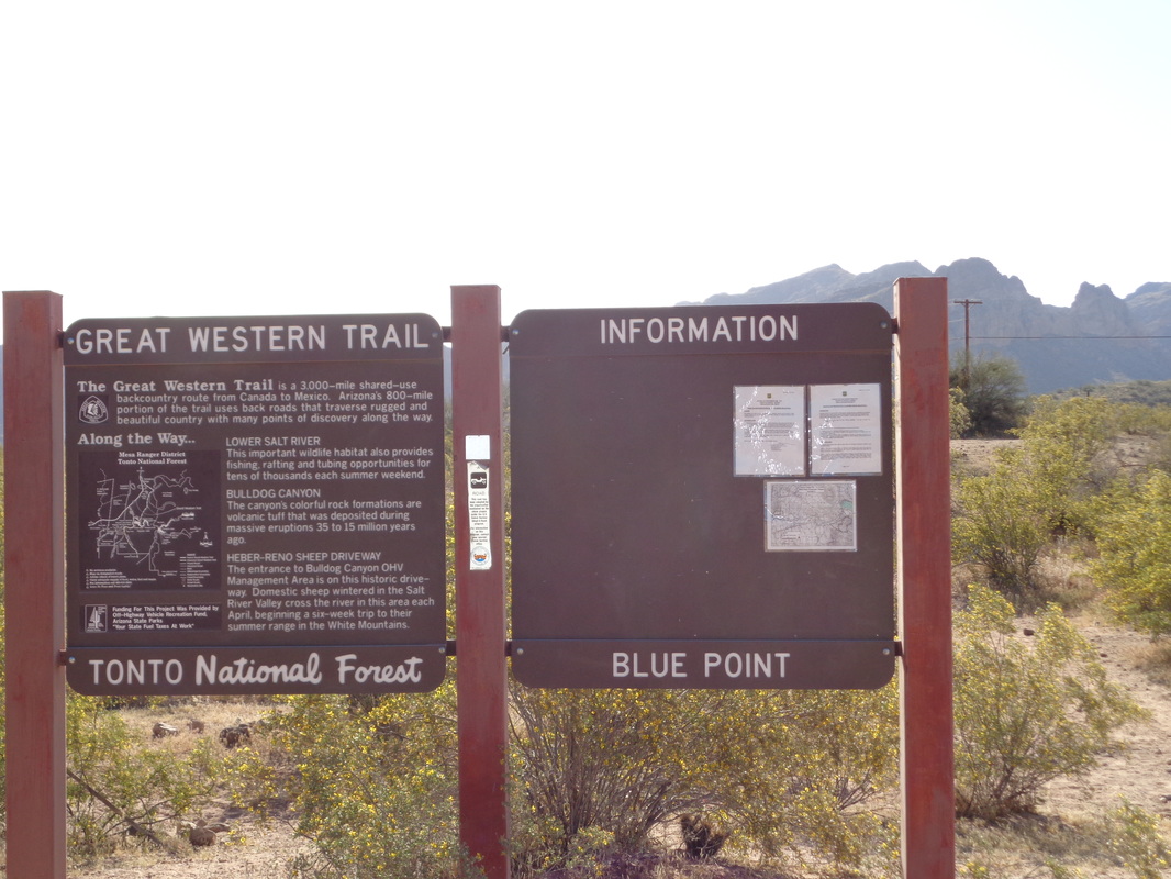
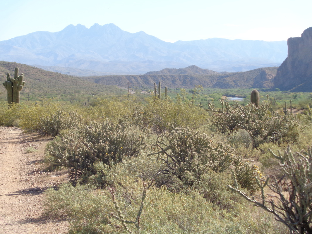
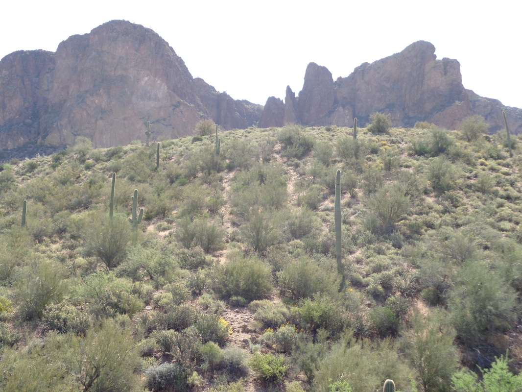
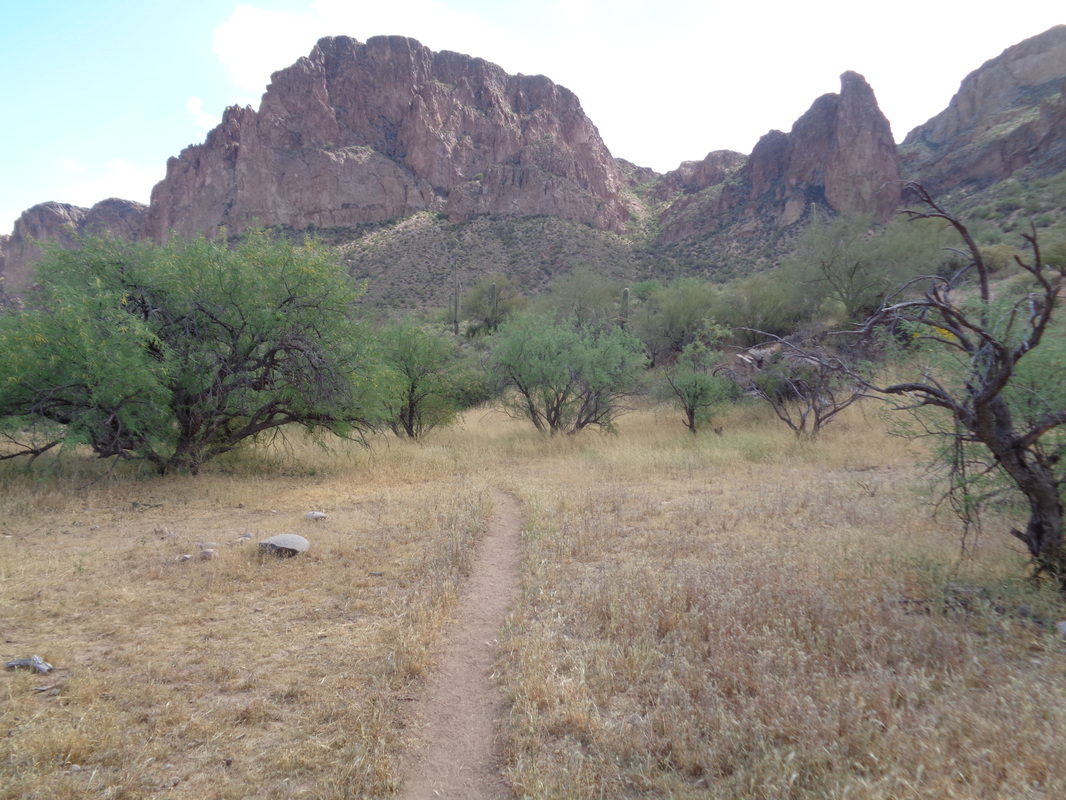
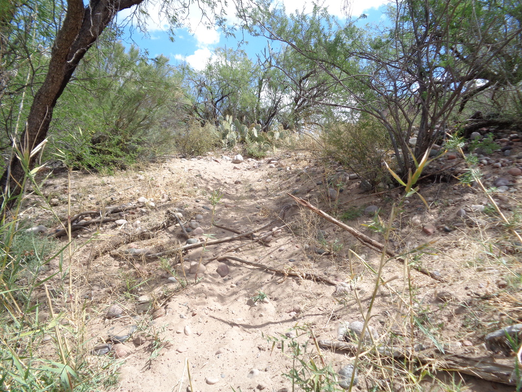
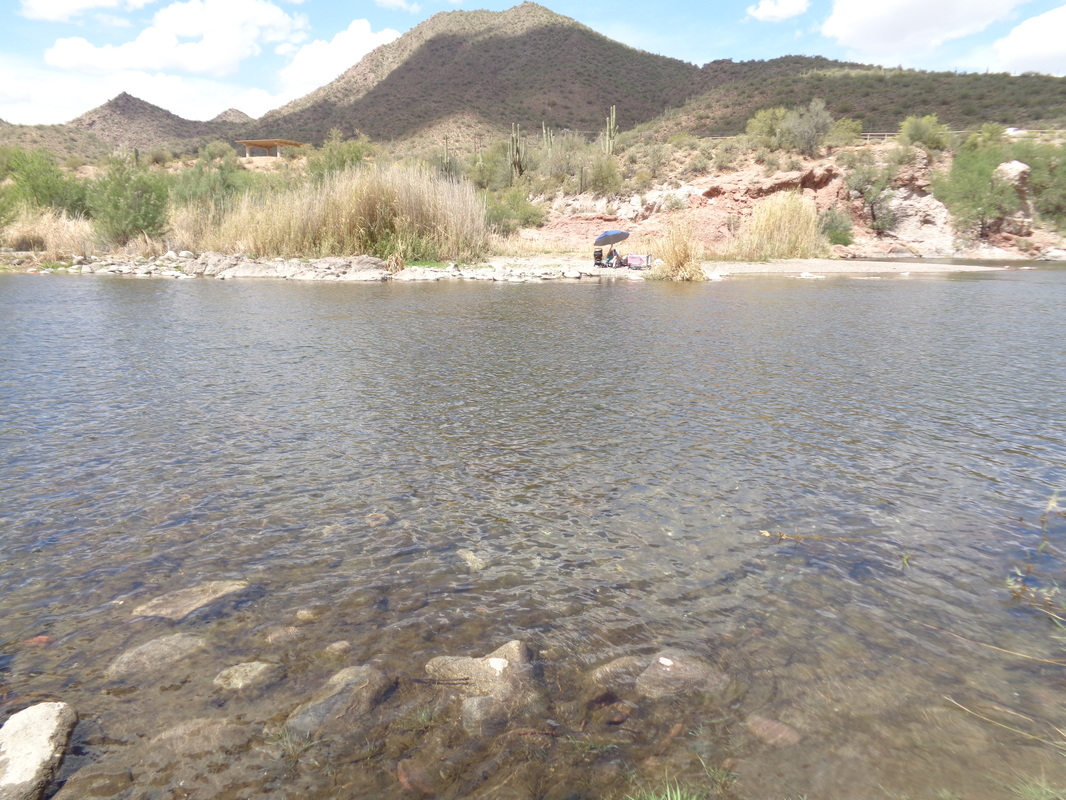
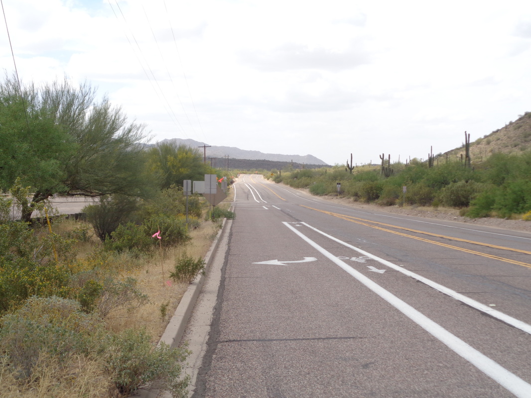
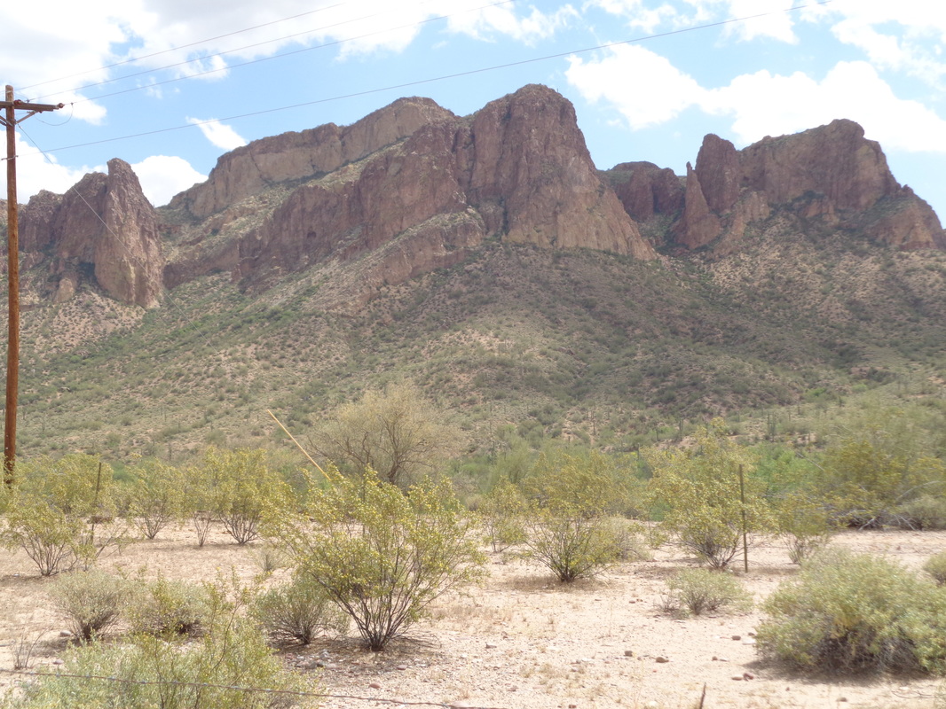
I was returning from an easy ride on Sunday when this guy slithered on the bike path. A cyclist approaching from the other direction stopped when I waved and thanked me for the head's up. He said a couple of weeks ago a group of 4 cyclists all crashed when they almost ran over a rattler. He said he has seen bobcats, snakes, javelinas, etc.. while out on this remote portion of the trail. I was intrigued by a report about the large arch in the Goldfield Mountains called "Sunrise" because the sun shines through it in the morning. The Goldfields are just west of Superstition Wilderness. I drove and found a pullout where I started the hike. In the distance is "Four Point Mountain" and there center right is a portion of the Salt River. Beautiful place and with a gps track for the route, what could go wrong? Of course plenty. It seems I have to visit a new place one time, make tons of rookie mistakes and then come back for the success later. The trail was easy to follow in spots and hard to find in others as it crossed a river bed that must be in use during flood stage of the Salt. Lots of vegetation obscured views of the river as I walked near to it. After about 3 miles a distinct trail came down from the above hill so I followed it. Soon my location differed from the gps route and so I struck off trail up an adjoining slope looking for the route but my position didn't improve much relative to the track and I retreated down to.... ....the trail where my Garmin indicated I should be. I headed farther east where this time the trail was distinct. I reached another side trail and took it up a ravine. It was steep in spots but soon, the Garmin indicated I was again off. I poked around looking for the proper approach but could not find it. I gave up and headed directly toward the river, hoping maybe I could wade across as I did not want to go back the way I came, for a variety of reasons. There were enough gaps in the river bed vegetation that I made it to the river bank and came down a sandy slope, emerging at.... ....the river's edge. Whoa too deep here but looking down stream, I could see plenty of ripples indicating the opportunity for a shallower crossing. I took off my socks, packing them and everything in my shorts into a back pack and headed across. About half way, there was a violent movement beneath the water to my right. I had disturbed something long that had been waiting in the shallows, some kind of angry, venomous sea serpent no doubt. I vastly quickened my pace while simultaneously using my lone hiking pole to prod ahead of me. I made it! I was happy!! I pressed as much water from my shoes as I could, put the socks back on and headed west via Bush Highway. Looking to the left.... ....I wondered how I had screwed up. I had made it to the base of that middle rock feature on its left flank but nothing there. The gps route indicated I was to be left of that so probably up that ravine on the left. With this information, I will be better prepared and will make it next time.
1 Comment
Mark
3/29/2016 02:43:07 pm
Oh, finished with 9 miles. 84 degrees. good hiking weather.
Reply
Leave a Reply. |
Categories
All
Archives
November 2023
|
