|
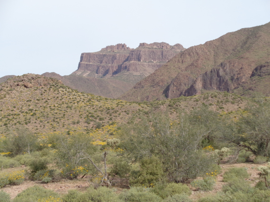
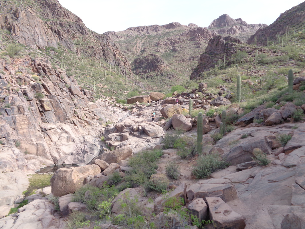
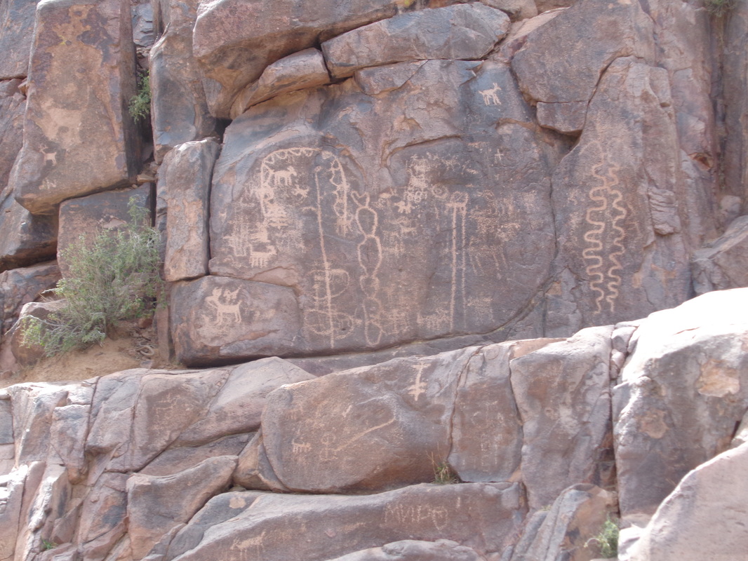
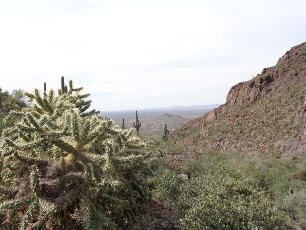
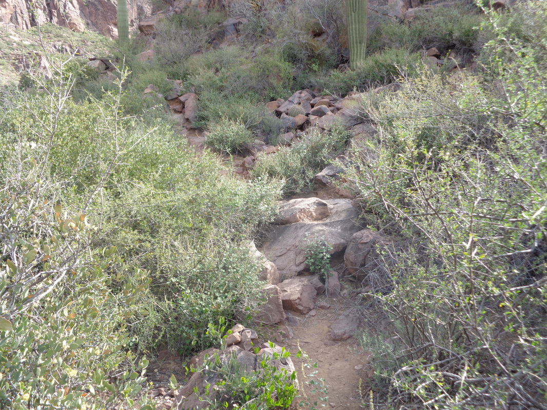
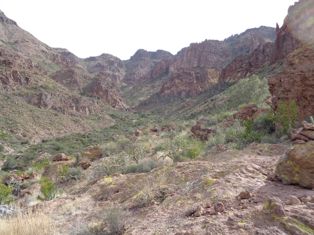
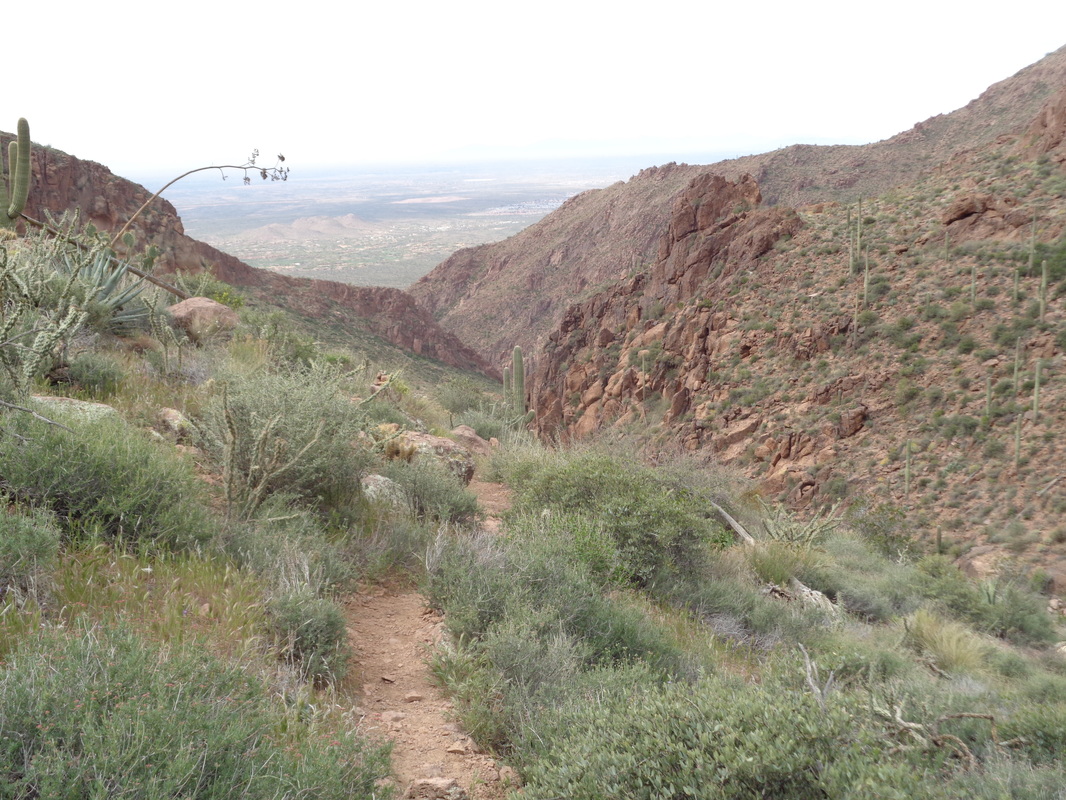
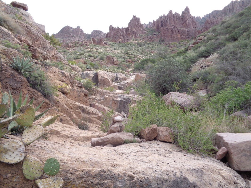
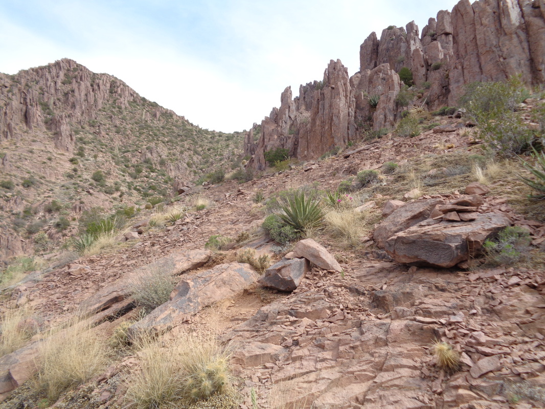
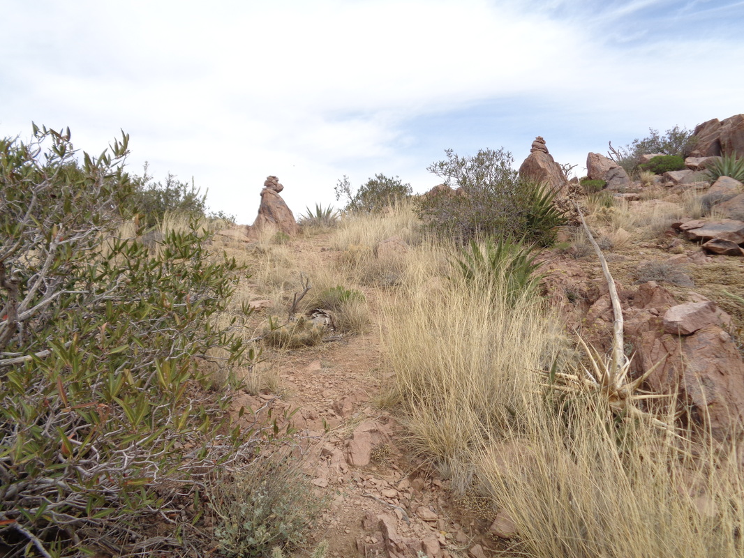
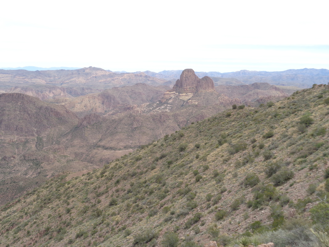
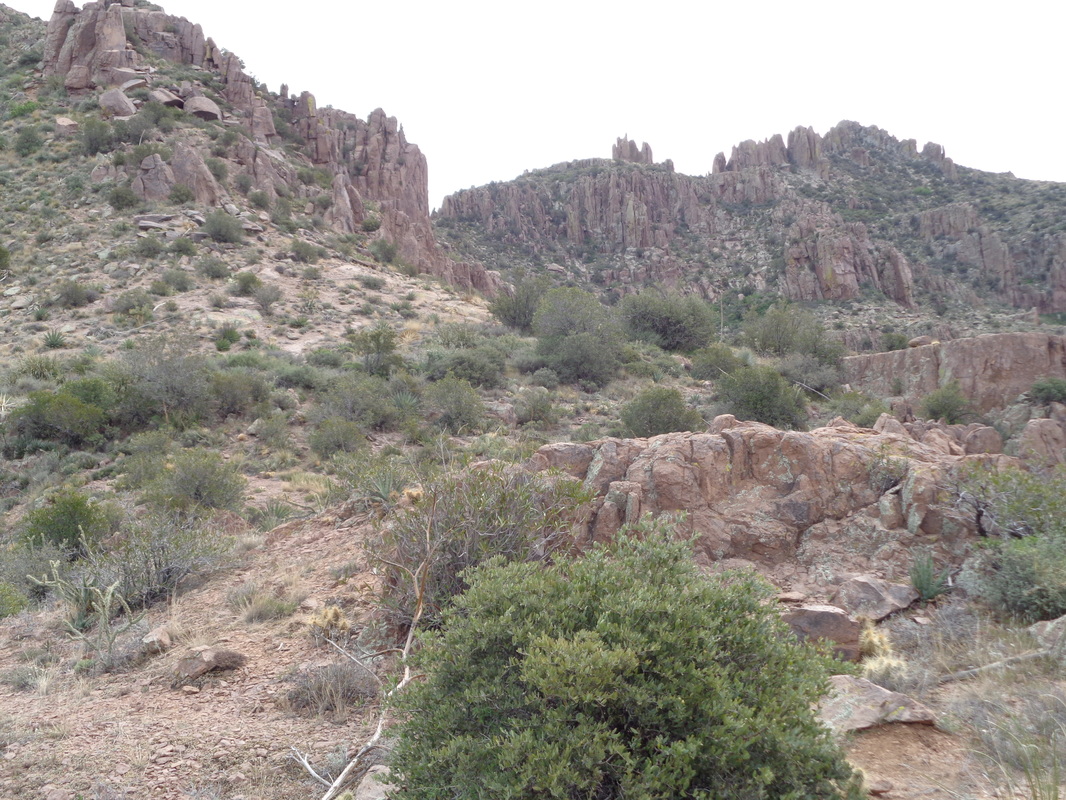
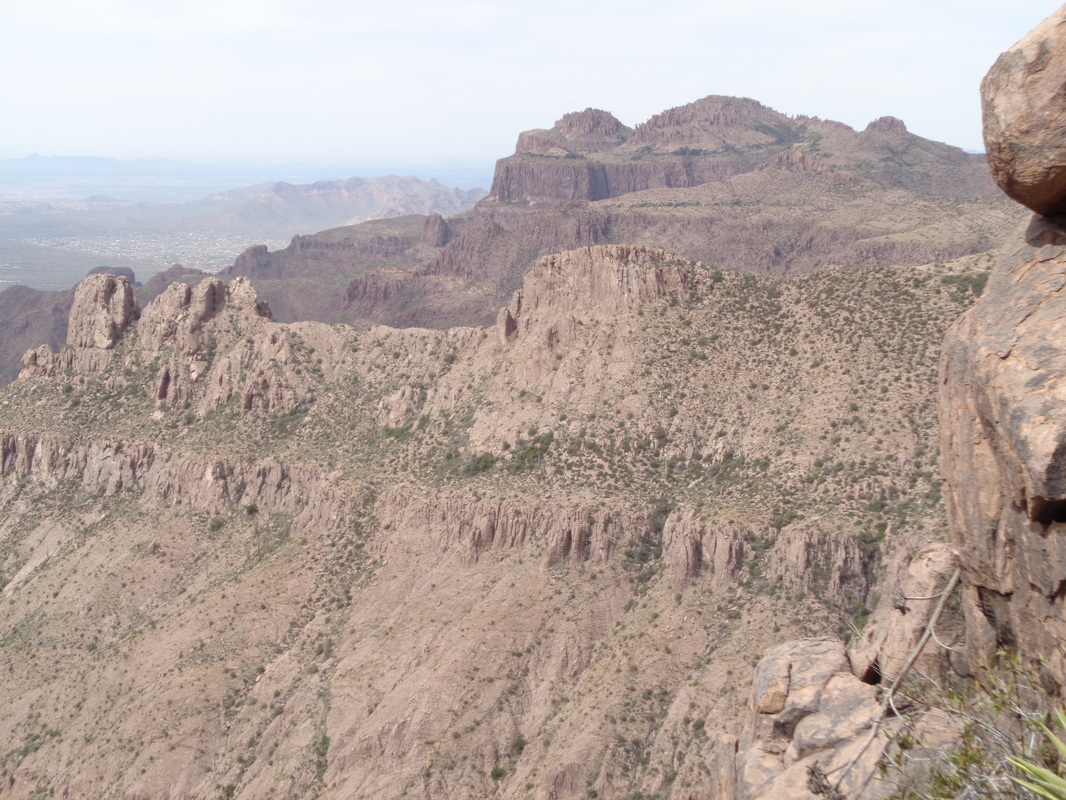
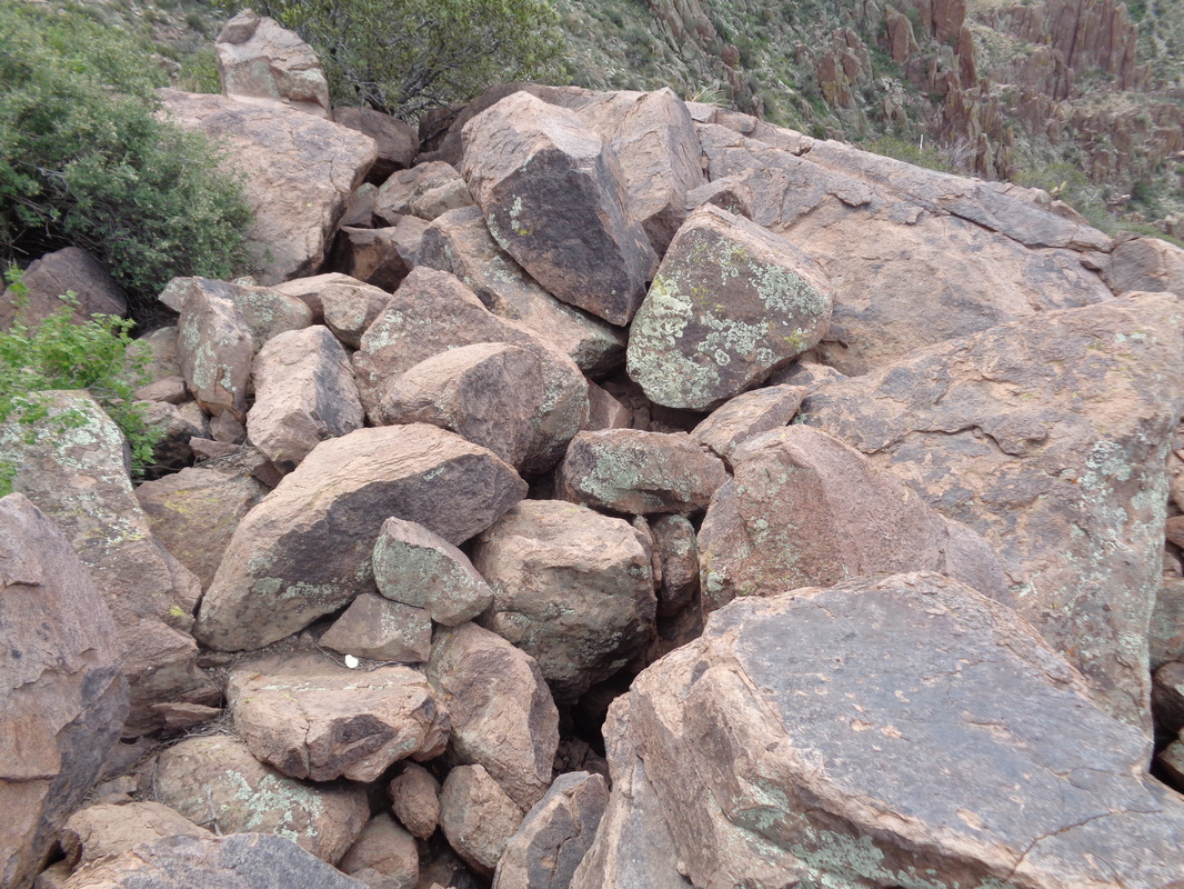
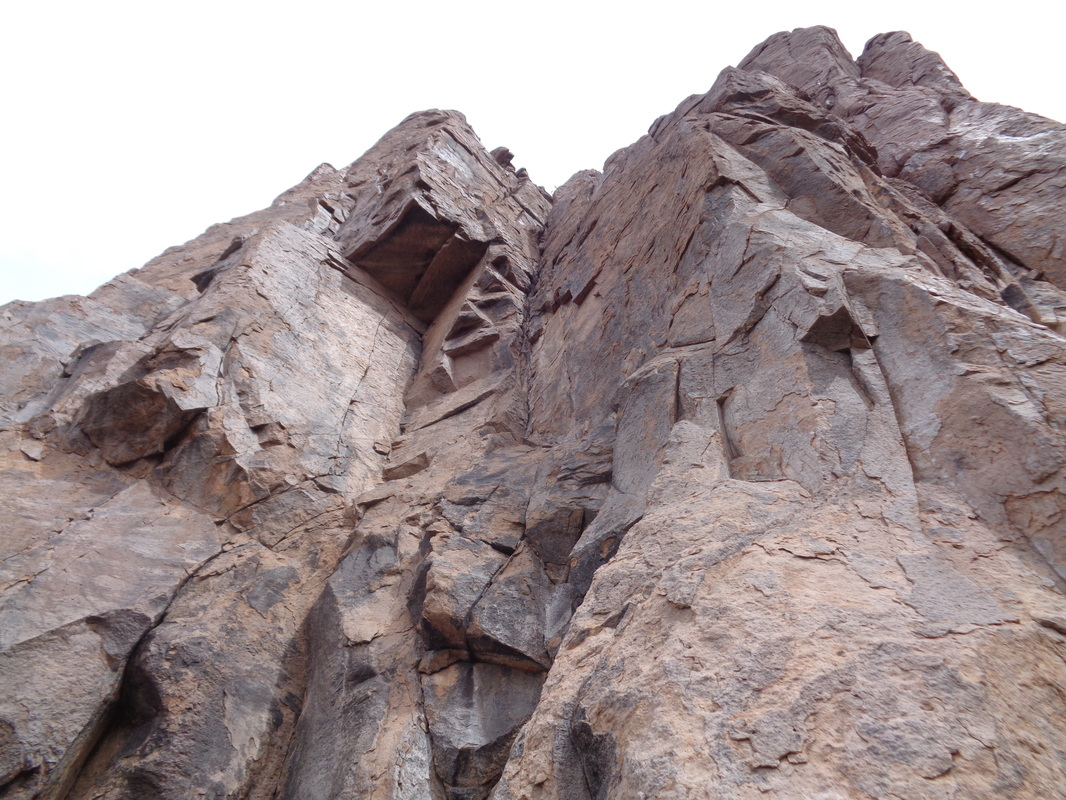
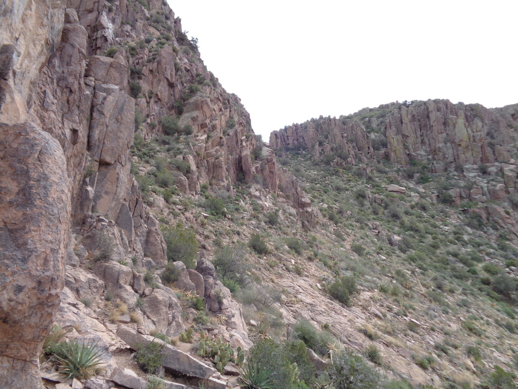
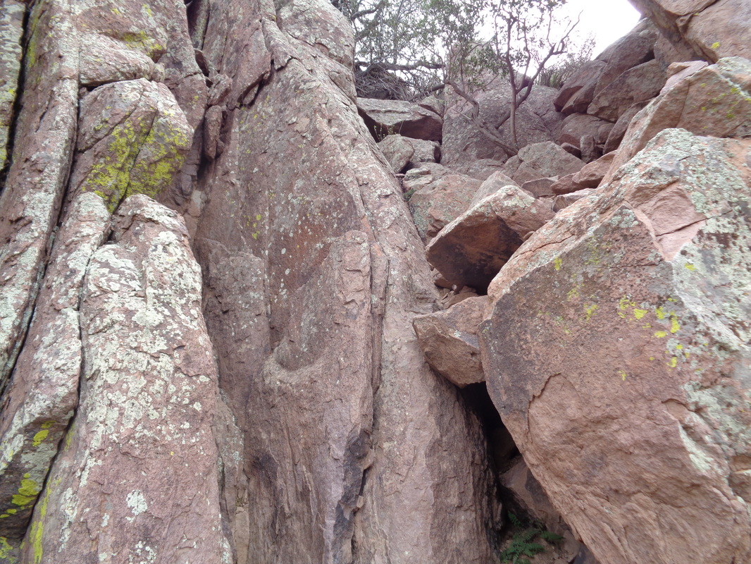
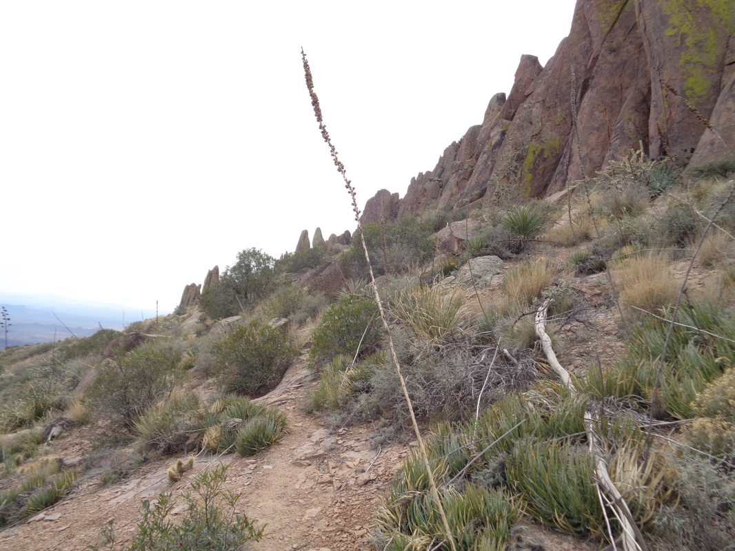
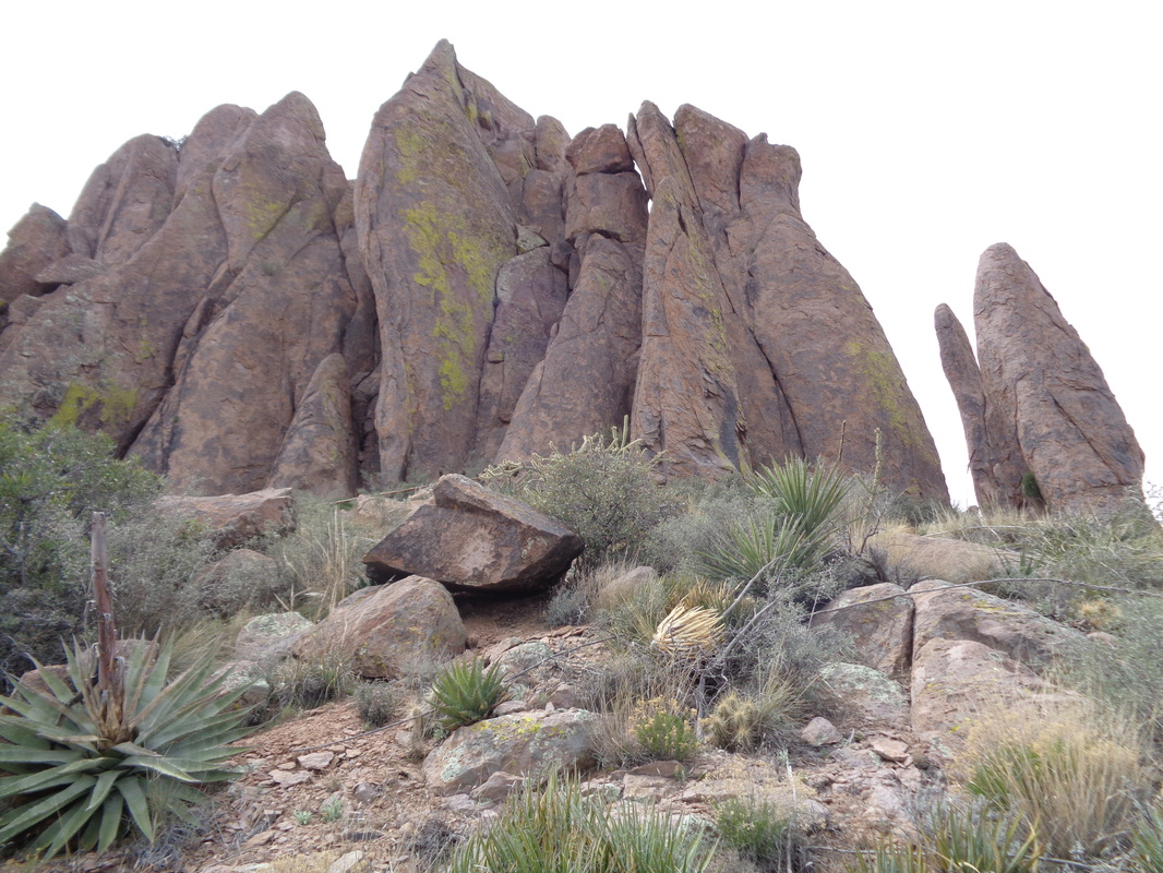
The Superstition Ridgeline runs southeast to northwest and is anchored on the northwest side by the Flat Iron, shown above. I shoved off from the Lost Goldmine trail head and soon reached the junction with the Hieroglyphics trail. This is a very popular hike to..... ......the Hieroglyphic pools and petroglyphs on the walls to the left. Actually, I steamed through here and didn't notice.... ....the petroglyphs but made sure to stop on the way down and snapped a few pics. I figured out I had missed the feature because suddenly there were no fellow hikers on the route. Silence save for the light breeze and an occasional bird call. Having gained some elevation, looking to the southwest the views opened up. Some volunteers had pared back the branches that previously made this a very difficult bushwhack. Nevertheless, much of the trail was bordered by bushes and grass and with today's high forecast to be 88, I was extremely wary of running into a rattlesnake. As mentioned previously, with 11 encounters, I seem to have an undesirable knack for finding them. I walked carefully, probing forward with a hiking pole. There are some slick rock spots that made the going faster with abundant cairns (piles of rocks) to mark the way. I am getting closer to the ridge but still a long way to go. Views continue to improve as the trail winds through Hieroglyphic Canyon. Not long ago this was nothing but a route with no discernible trail but traffic has made it easy to follow. Pay attention to any forks where a line of rocks crosses one direction, indicating you should go in the other. I always marvel at how the camera distorts the challenge. The rock faces in this drainage are 8-12' high and require some navigating. Nearer to the top, this slope requires care for not only the steepness of it but the loose rocks and scree. Another degree or two of tilt and you could not cross it. Always a positive sign, large rocks piled on top of each other indicating something and this time it is.... ...reaching the ridge line. Words can't describe the views to the northeast and I stand there with mouth agape, staring. Weaver's Needle in the distance. I note it took me 2:20 to reach this point but with the occasional navigation challenge and snake avoidance routine, speed was not possible. I drop my pack and hiking pole, refill two water bottles and continue on with a waist pack only. No reason to carry the extra weight as I will return to this spot for the descent. As I look southeast, I am not sure which of those points is Superstition Peak. I have visited it once before but from the opposite direction. I hope there is an approach from this side as I don't want to have to circle around it. Not to be missed are the views to the northwest too! I head toward the peak and cross a boulder field. These boulders are as large as cars and the crevices could swallow me so I am careful not to become a missing person story. The route passed at the base of this imposing structure and then.... ....heads toward the small gap above. I am not sure if I am at the base of the peak or if it is the next protrusion. I look closely for evidence of a route up but finding none, conclude I have farther to go. I am on the Ridge Line trail that runs the length of the ridge and I don't want to end up following it past the peak. I approach a cleft in rock walls and yep, have to climb into the notch on the left and then swing over the vertical rock into that jumble of rocks. For someone of my coordination, it ain't easy. The trail drops to the northeast side and I now realize it will go all the way, in a clockwise direction, to the other side where it continues with a side trail shooting up to the peak. Having done that before, while a really fun ascent with some scrambling and exposure, I call it quits here at about mile 4. Heading back, I can see there can't be a route to the peak from this direction as it is guarded by these giant slabs. Enjoy the views on the return, awesome. I finished with just under 8 miles and 3100' of elevation gain. I found a hiking pole necessary for some of the sketchy spots on the descent and a couple of times, so steep and loose were they I had to walk backwards.
2 Comments
Phil Livingston
3/13/2016 05:46:10 pm
Very well written and photo documented. The route you took looks like the same one I have used for past hikes. I am aware of a more direct route to the peak, but have yet to explore that option. It will require further research.
Reply
Mark
3/13/2016 05:52:26 pm
Thanks much for the comment Phil. Look forward to hiking with you soon.
Reply
Leave a Reply. |
Categories
All
Archives
November 2023
|
