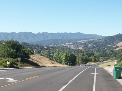
 The above is an image of the mountain range I was to reach today, via Refugio Road's dirt section, coast down to Refugio Beach (paved side) and then turn around and head back up...and then down the dirt section. Not a lot of miles but should be good climbing. 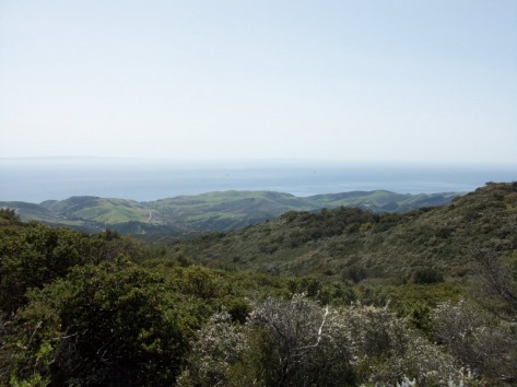 The marine layer hung in there longer than normal this morning so I kind of waited it out until 9:00am. Heading out #246 in mist and with arm warmers on, 2 miles later it was brilliant sunshine. Passed the Chumash Casino (Indian operated casino that locals can't stand) and then got to Refugio Road, turning right, passing Kalayra Winery, a few dry stream crossings and finally reaching the end of the paved road and a big ole "Road Closed" sign, signaling the start of a 3.25 mile rugged stretch up dirt and rock pocked "road". Except, I'll be, someone took a blade to the road and filled in the 12' gullies that ran in the center, right and left section of the road. That's great except they filled in the gullies but did not pack in the material and so my wheel was frequently spinning out. It was just like riding through a sand box. During the duration of the uphill dirt section, I probably pushed the bike 60% of the time and it took forever to reach the top, which I finally did. 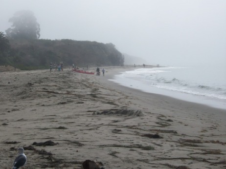 Reaching the paved, down hill section, I enjoyed the vast views to the coast and ocean. Yes, the view from Snowy Mountain in WV is nice but come on...coast, beach, Channel Islands, ocean..heck, even the oil drilling platforms are beautiful. The ride down was rough, as is normal with a road that is nothing more than a series of patches but after 5 miles of steep descent, I encountered 2 miles of modest down hill that led out to the beach where I stopped, at a market and drank a suger-free Monster, Gatoraid and ate almonds., while watching the beach combers and wildlife. 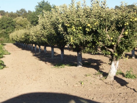 As soon as the beach is left behind (via a well worn path the locals created to avoid paying the $10 entrance fee at the ranger station) and scrambling up a short slope to acquire the road, the climb begins but very gently and after 2 miles, only 200' is gained. Then the mountain kicks in and a little under 5 miles of constant uphill later, the top is reached with 1700' of more climbing. Lots of switchbacks with steepish ramps. At the top of this very remote area, I found two cars parked with a few people looking at a map. Both parties, separately, had followed GPS directions to reach Solvang and their devices had led them to this dead end. I told them they would have to go back down the way they came, head 15 miles north via the 101 before reaching an exit that would really take them into Solvang. I descended the dirt section and retraced my route with 39 miles and 4400' of climbing. Next is a group ride out of Dr. J's bike shop 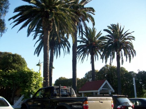 Outside Mattie's, a popular local restaurant. 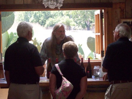 Anyone ever watch the movie "Sideways"? There is a scene in the movie where a local is given the part of performing a wine pour for the two main characters. "Chris" the wine pourer works at a local winery. 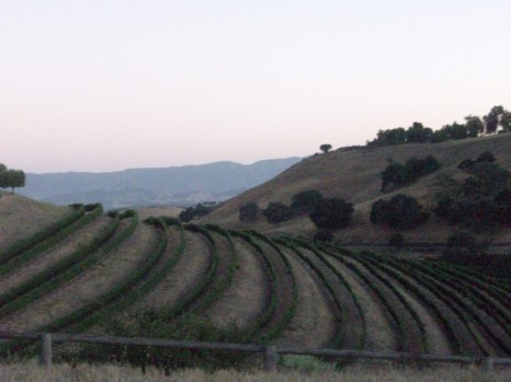 Sun setting in the valley.
3 Comments
kenda jjanet
8/22/2010 07:37:17 am
wow, mark, this is all so intriguing. just cannot wait for the next ride report.
Reply
Cindy
8/22/2010 08:02:57 am
Janet, there is a group that does a week long ride in these same places in March; check out Planet Ultra website. I did the ride two years ago and may go this year. Maybe you and Paul could make it too? It's a great place in March, our temps were mostly in the 60's with lots of sun.
Reply
Editor
8/22/2010 02:13:39 pm
The 3 main cycling tours that operate tours out of Solvang are Cycling Escapes, Undiscovered Tours and Planet Ultra.
Reply
Leave a Reply. |
Categories
All
Archives
November 2023
|
