|
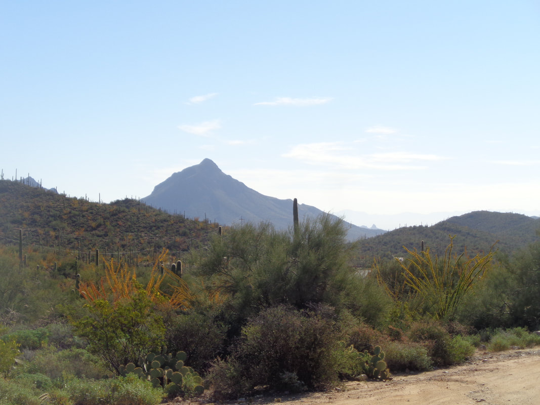
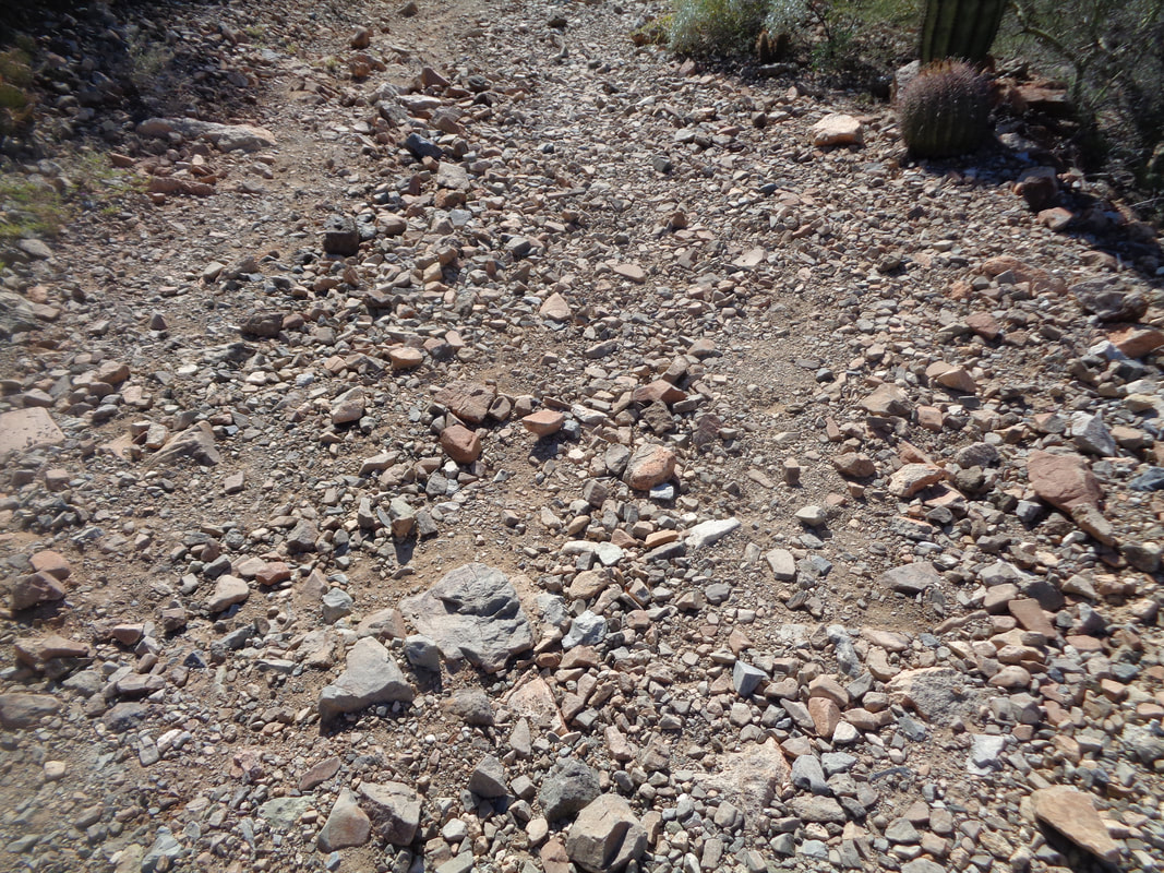
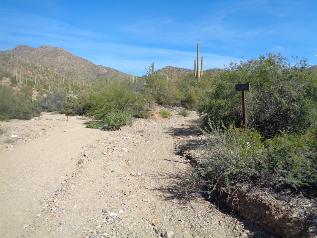
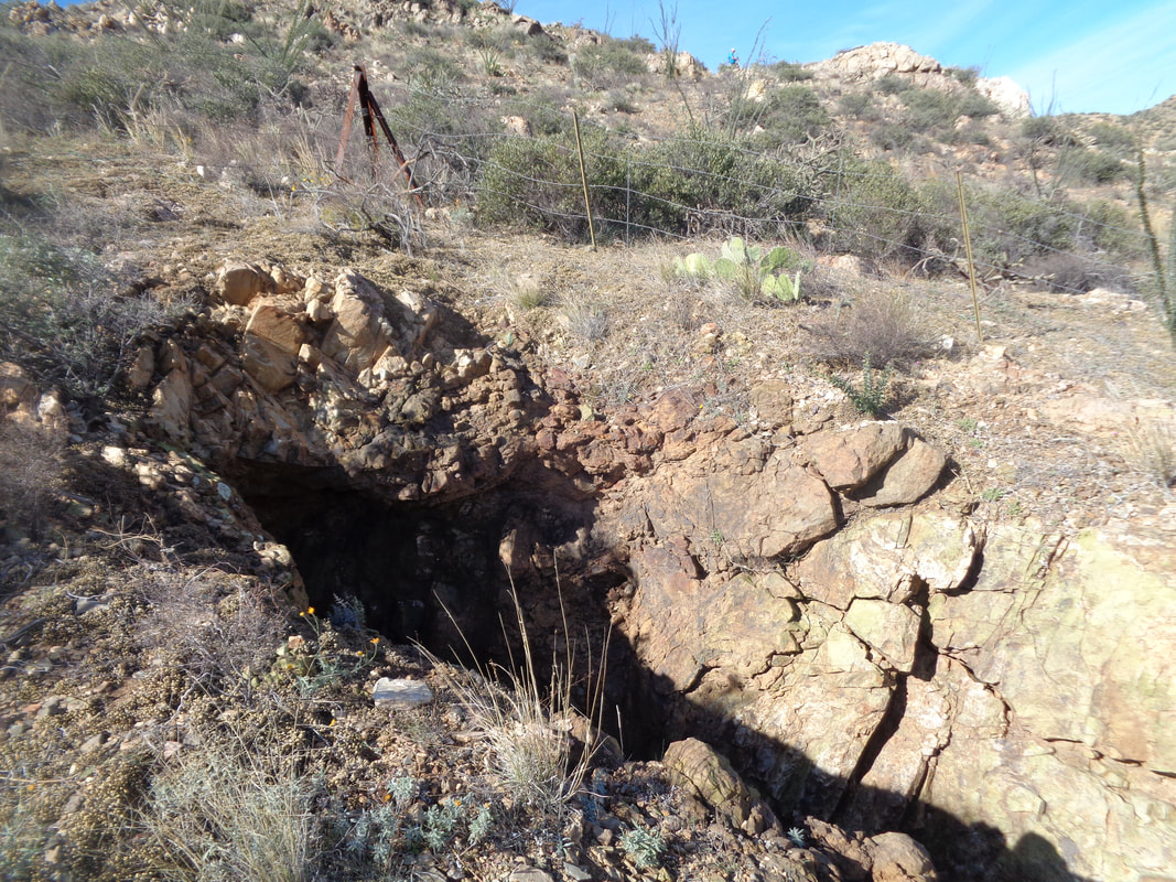
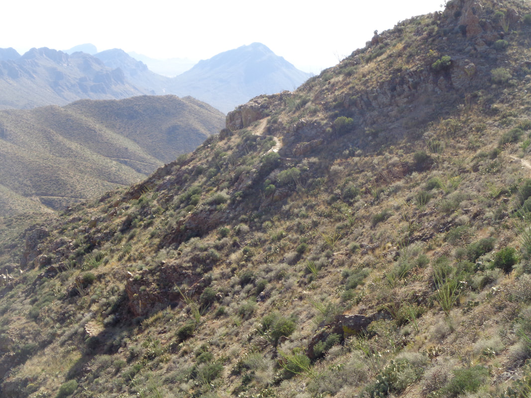
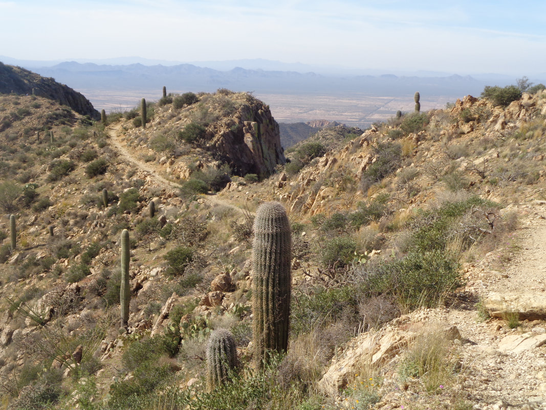
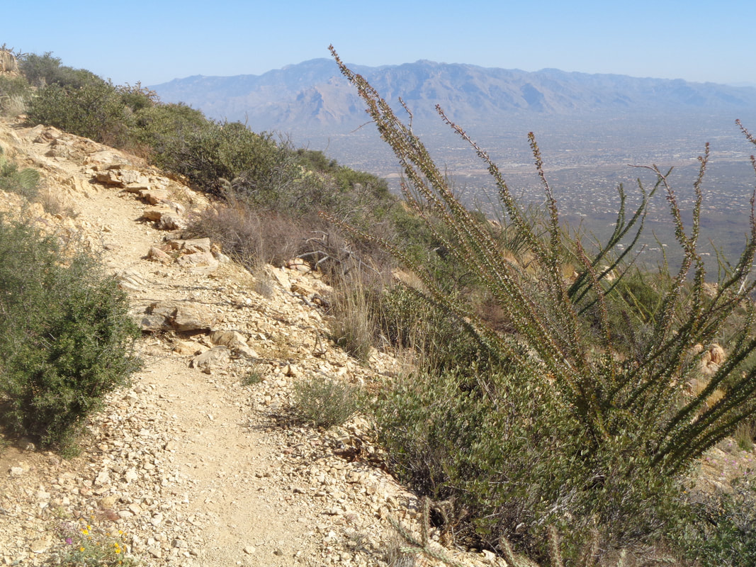
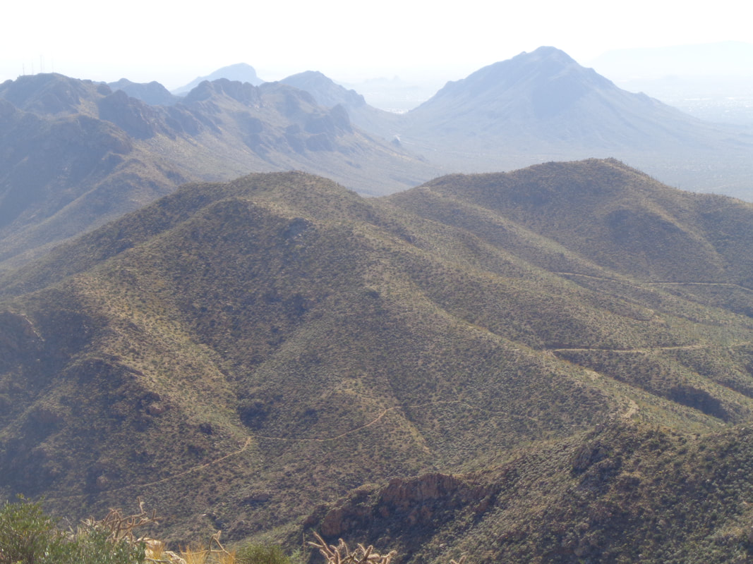
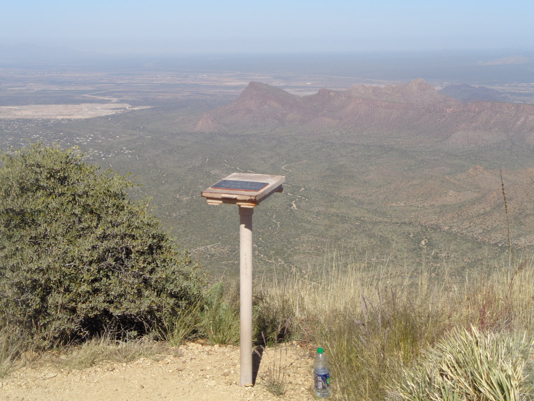
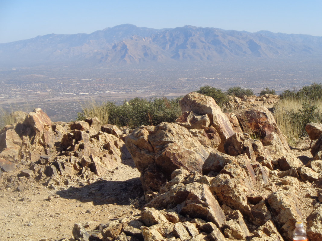
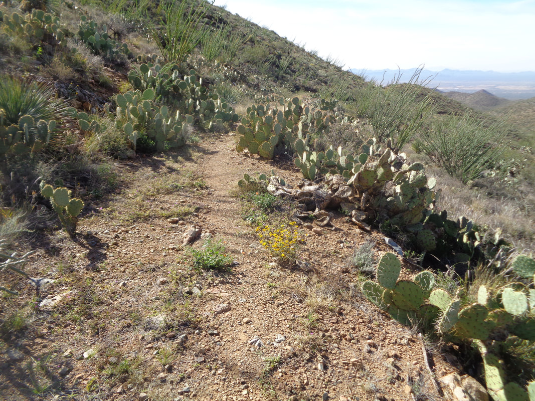
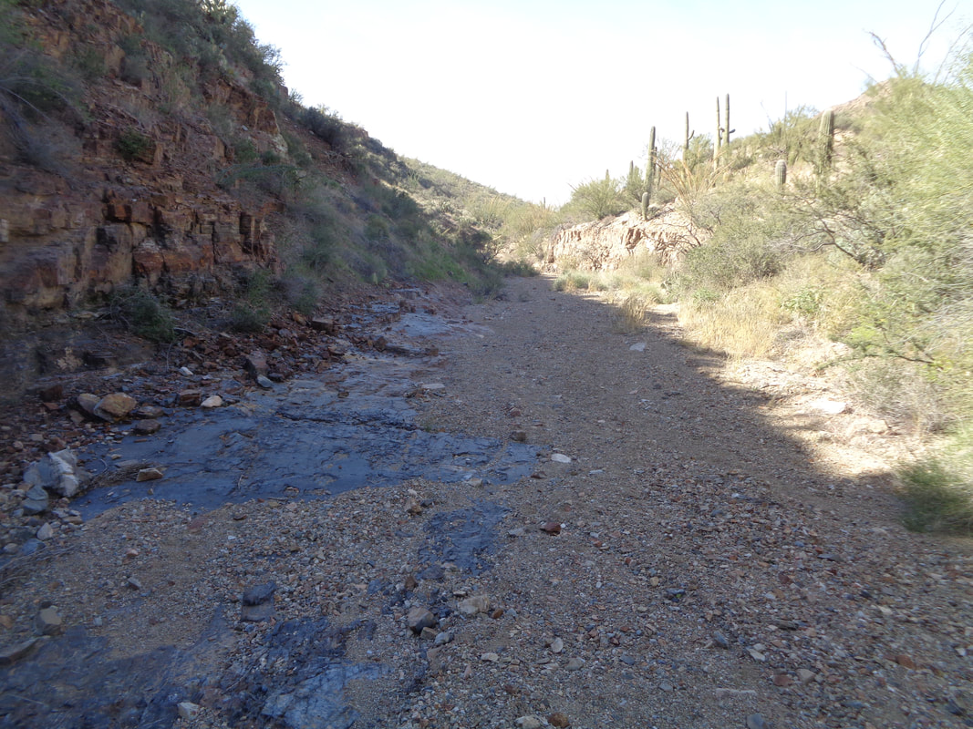
Wasson Peak in the distance, part of the Tucson Mountains that lie to the southwest of Tucson. I don't hike here much as there is not the variety that exists in the other mountain ranges. But, Wasson Peak is the highest in this range and I wanted to see what I could do and so set out on the 3.5 mile ascent at the hardest pace I could maintain for the entirety. Geesh, don't like the conditions of the King Canyon Trail that leads me to the peak. Covered with fist sized rocks that makes the going difficult. The trail enters a wash. Important note. Note the sign on the right which indicates the trail continues toward the left. Well, if you follow the wash to the right, it actually is an old jeep road, overgrown but a distinct path remains as I show later. Really Important Note: Don't miss the road when it exits the wash on the right, about a 1/4 mile. Dozens of animal prints going deeper into the wash and if you miss the exit right, well at least it makes the hike longer and may make it a bunch more exciting. During the ascent, you'll pass a couple of old mines. The average grade for the 3.5 miles is only 10% but there are some fairly steep sections too. Although from the trail head it appears the final approach is super steep, the trail winds around the mountain and the final 1/2 mile is not very steep. The rocks that litter most of the trail have disappeared. At some point, you will reach a saddle where the Hugh Norris trail comes in from the southeast and then farther up, there is another fork but signs are present to keep you on route. More good views and if you look closely, there winding around the mountains is the jeep road I will take from the aforementioned saddle. Much better option as it is smoother. Ahhhh, almost there with a summit register. I don't pause here as I plan to sign it later. In the distance, well below is Panther Peak and Sombrero Peak. I reach the top. Later I discover I miss the KOM on Strava by 2 minutes at 1:05. Still, settling for 2nd on this peak's list is an accomplishment. I talk to a group from Canada who have hiked this before and tell me about the alternative jeep road back to the King Canyon trail head. Upon reaching the saddle, I take the road and wow, sure it is over grown but a distinct path exists and much smoother and easier on the ankles. I have just descended to the point where the road enters the wash I previously mentioned. GO LEFT! It was kind of eerie to think what one might find by going in the other direction. Probably nothing but ya never know. Trudged through the sandy bottom until reaching the signage and regained the King Canyon trail. Finished with almost 8 miles and 1880' of climbing. The jeep road adds about 1/2 mile but again, is the better albeit remoter option.
0 Comments
Leave a Reply. |
Categories
All
Archives
November 2023
|
