|
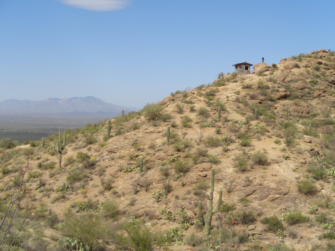
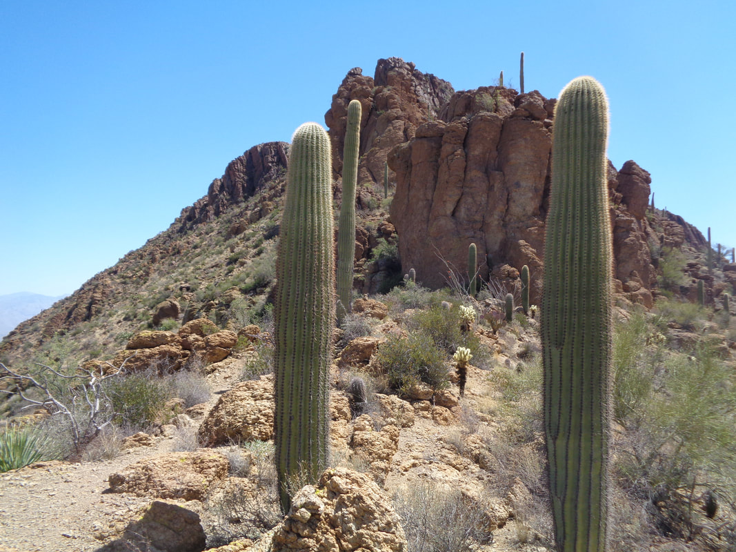
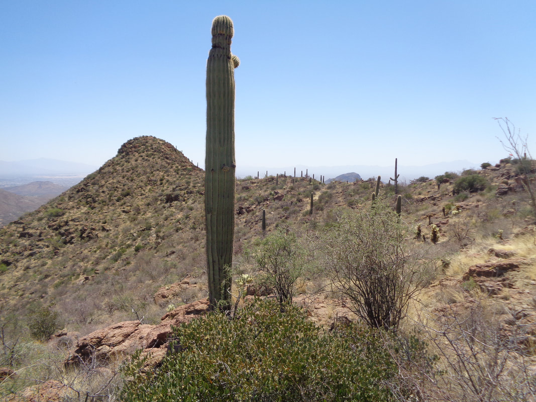
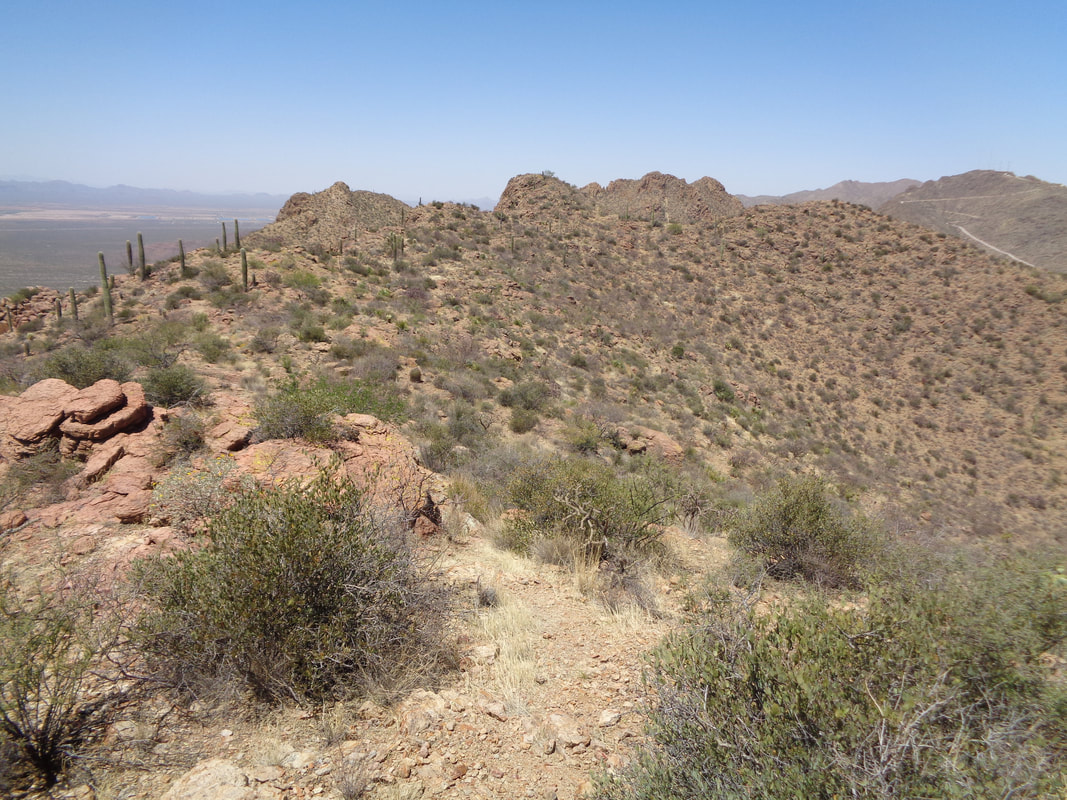
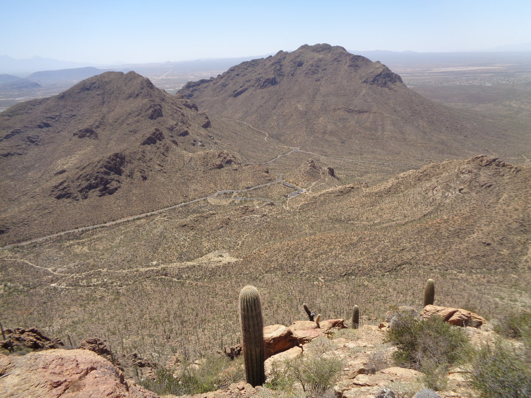
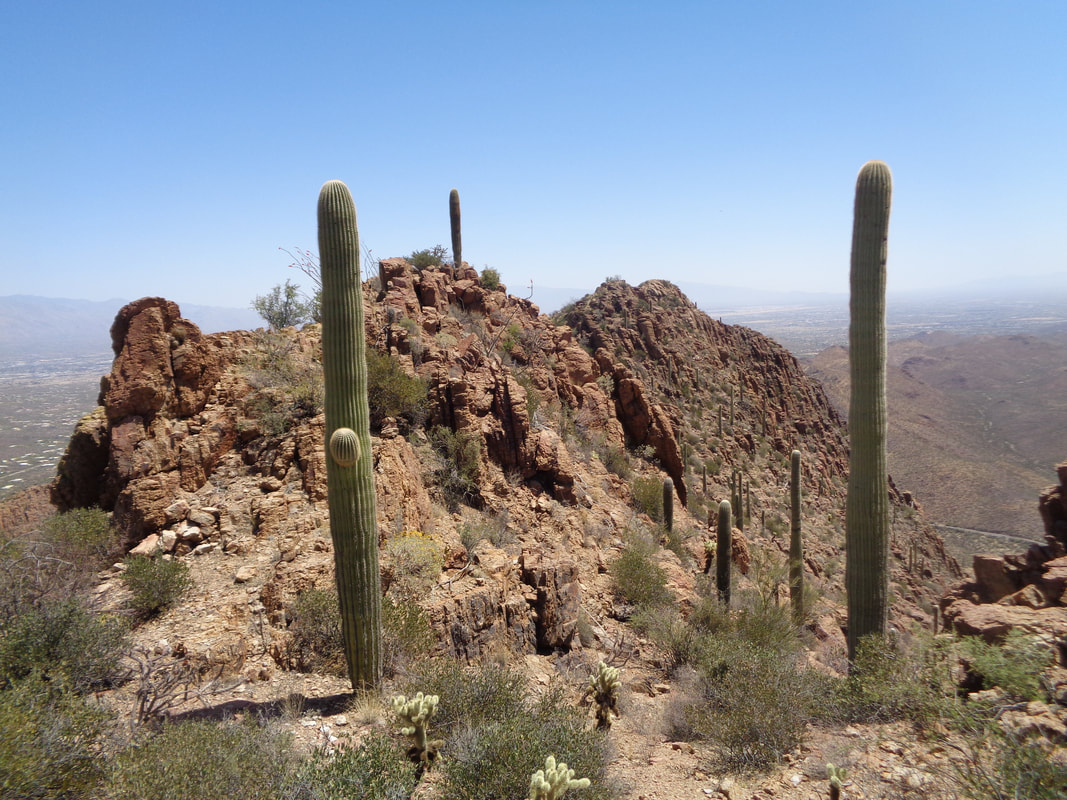
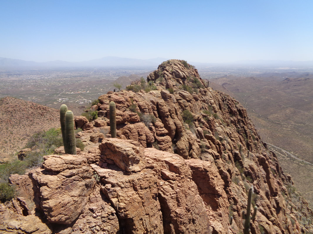
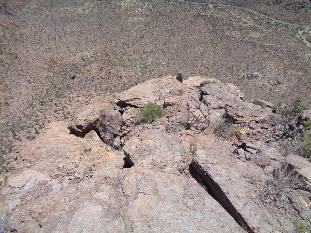
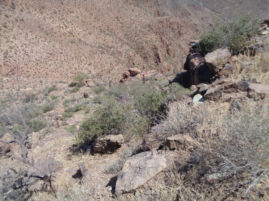
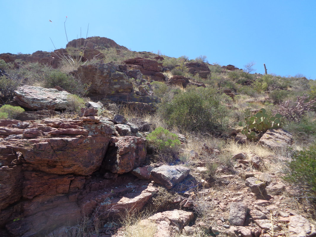
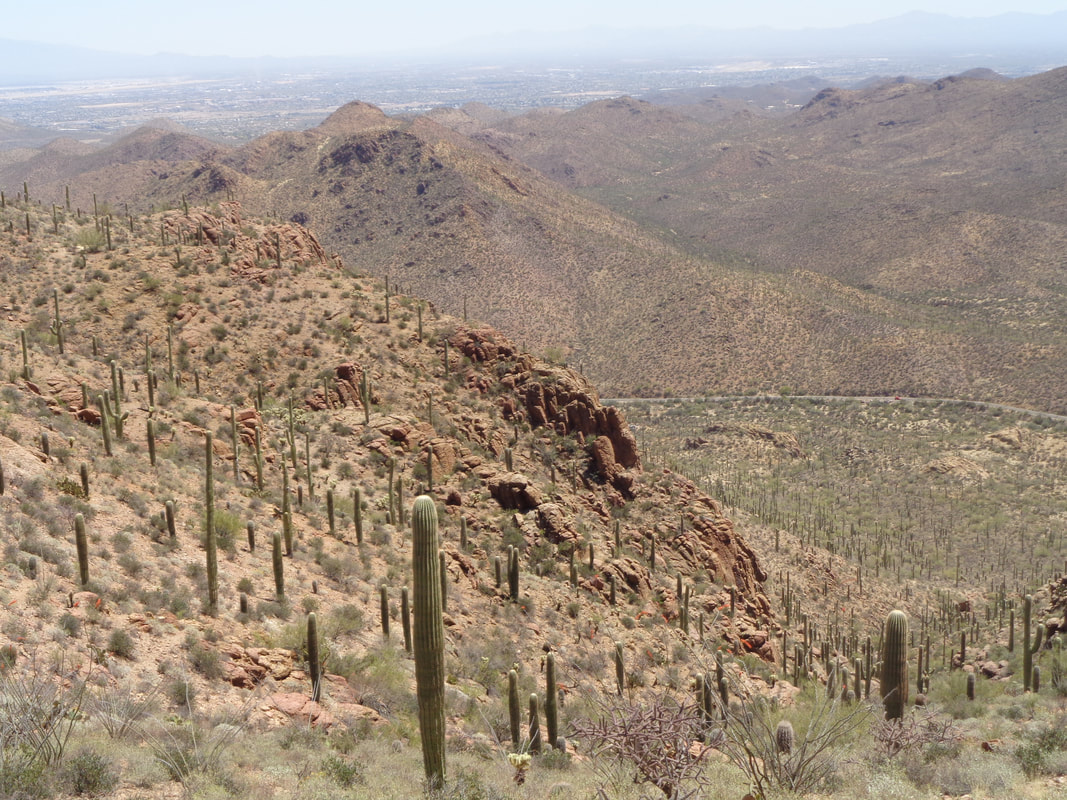
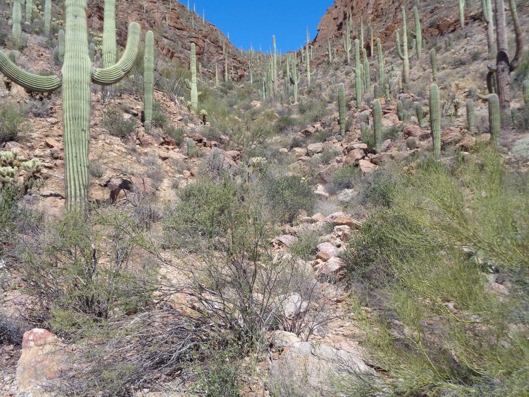
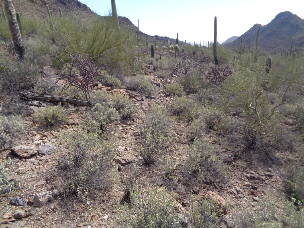
This picks up where I left it from the prior post. I was low on fluids, having underestimated this hike, so upon reaching the base of Bushmaster Peak (so named after an army regiment) I went off trail, back to the parking lot. I returned to complete the journey. At the start, a lone hiker stands atop a boulder, looking to the west. Soooo, at the saddle where previously I went to the right and down canyon, I headed up and slightly to the left. Kind of a cocktail of emotions for some reason. I think partly it is knowing now in late April, rattlesnakes are active, plentiful, I was unsure of the route but hey, with my experience, I knew one or another, I would overcome, kind of, sort of. Wow. I climbed and found myself on a plateau with grand views in all directions and what appeared to be a not too difficult final climb to the peak. Yayyyyy. OK, it wasn't all that easy. Once I mounted the peak in the previous image, there was another yet finally I made it and looked back to where I had come. Damn, it was so dramatic and so absent from the image. A black helicopter flew beneath me over Gates Pass but I could not find it in this image. Hey! There is my car in the parking lot, way below me. Although I had reached the peak, there was still a lengthy ridge to navigate and that was great fun. Narrow in spots with lots of exposure. Gawd I love this and the thrill of finding my way. I would be less thrilled if I fell, of course. On a windy day, I would not want to be hopping from boulder to boulder. Let's assume you have found this page while looking for info on this hike. Little has been written about it and allow me to point out an important tip; DON'T KEEP FOLLOWING THE RIDGE WHEN YOU GET TO THIS POINT!!! If you do..... ....the ridge dead-ends with a view into the abyss. Plus, it requires some maneuvering to reach this point. Instead, just prior to the final knob, you may see a painted white line with an arrow pointed to the right. I looked at that and it did not look promising. So, I scouted to the left and sure enough..... ....there was a series of cairns (man made piles of rocks) headed toward the canyon there to the right. How about that and now I was feeling more confident I was going to make it off this rock. I descended and looking back, whoa, really steep. I reached a saddle and while the cairns ran out, the way forward was obvious. Hang a right and head down canyon. It is odd that while the way to the peak is a fairly worn trail, once beyond the peak, not so much. Just pick your way through the mildly brushy areas and boulders. Nearing the bottom of the canyon, I look back. It was not all that hard but wish I had worn long pants. My legs were shredded and bleeding but a band-aid or two and I would be good. Now it was simply navigating through the typical Sonoran landscape, watch for snakes and while a couple of Javelinas startled me, ok, scared me, I got through ok. 3.5 hours to travel 3.5 miles. Unreal.
0 Comments
Leave a Reply. |
Categories
All
Archives
November 2023
|
