|
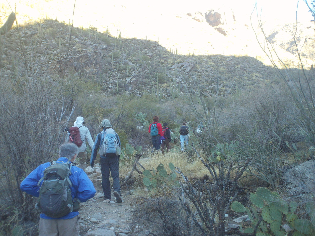
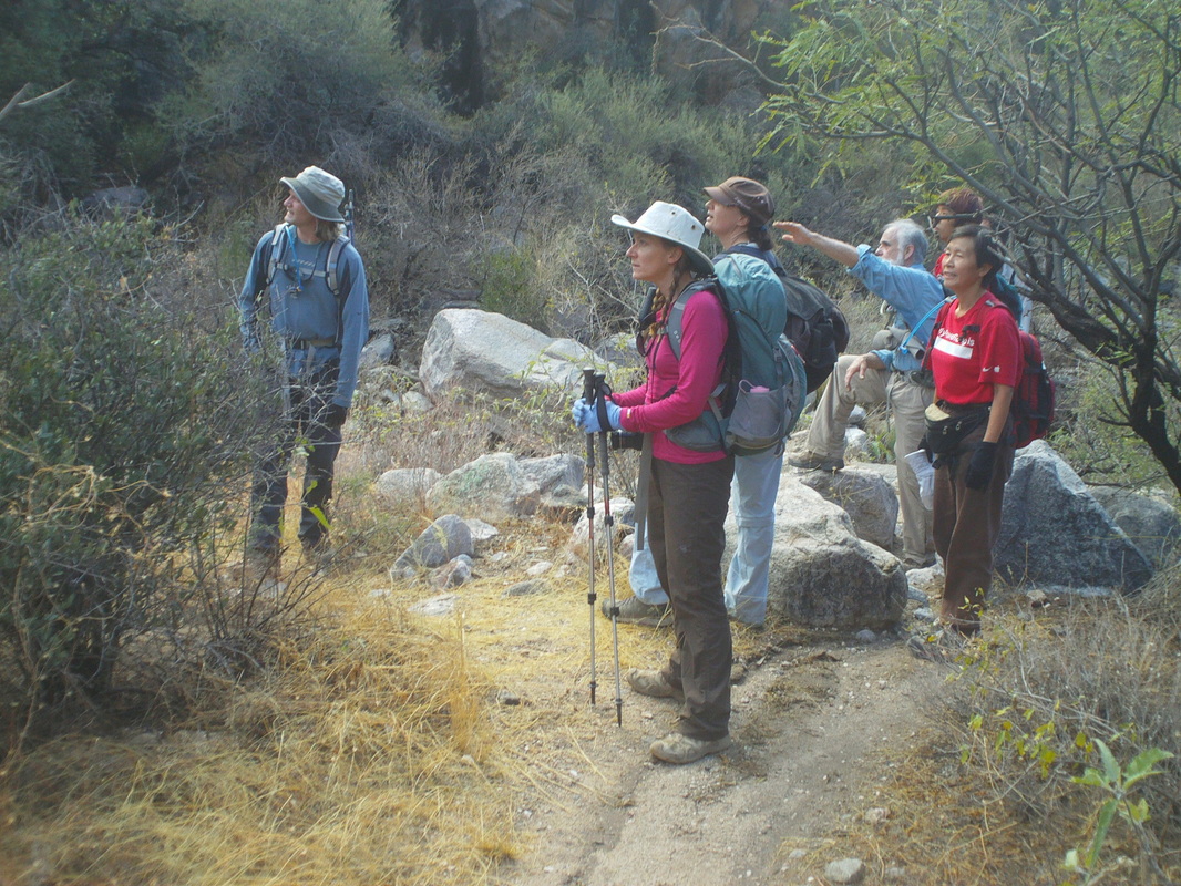
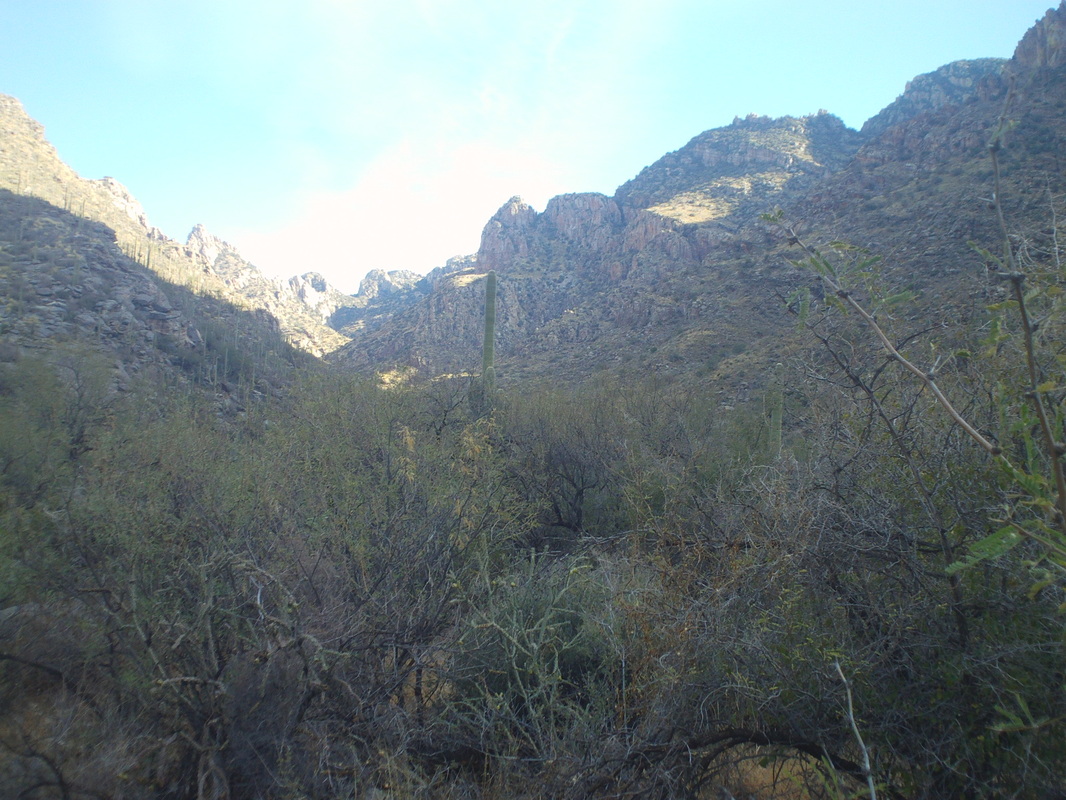
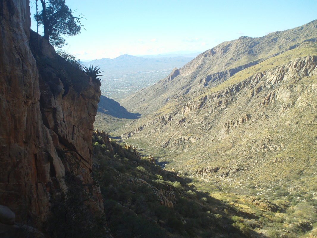
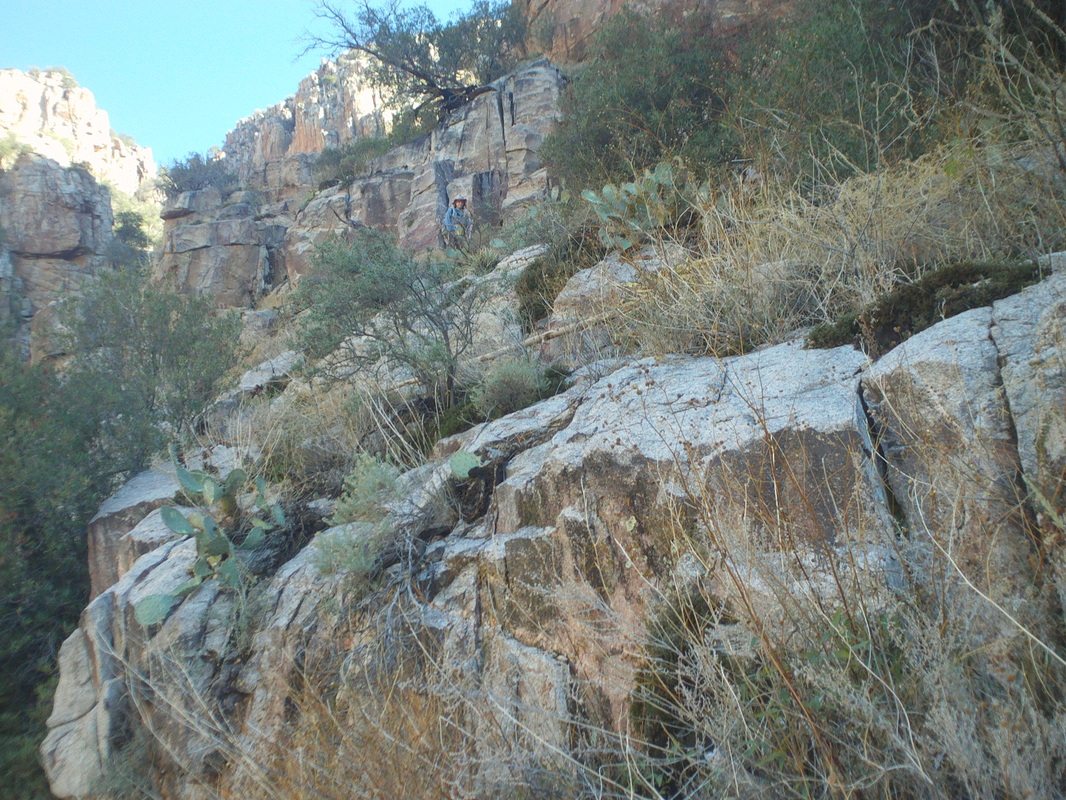
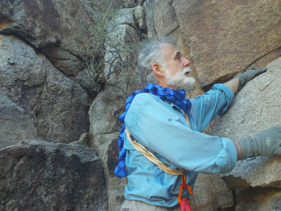
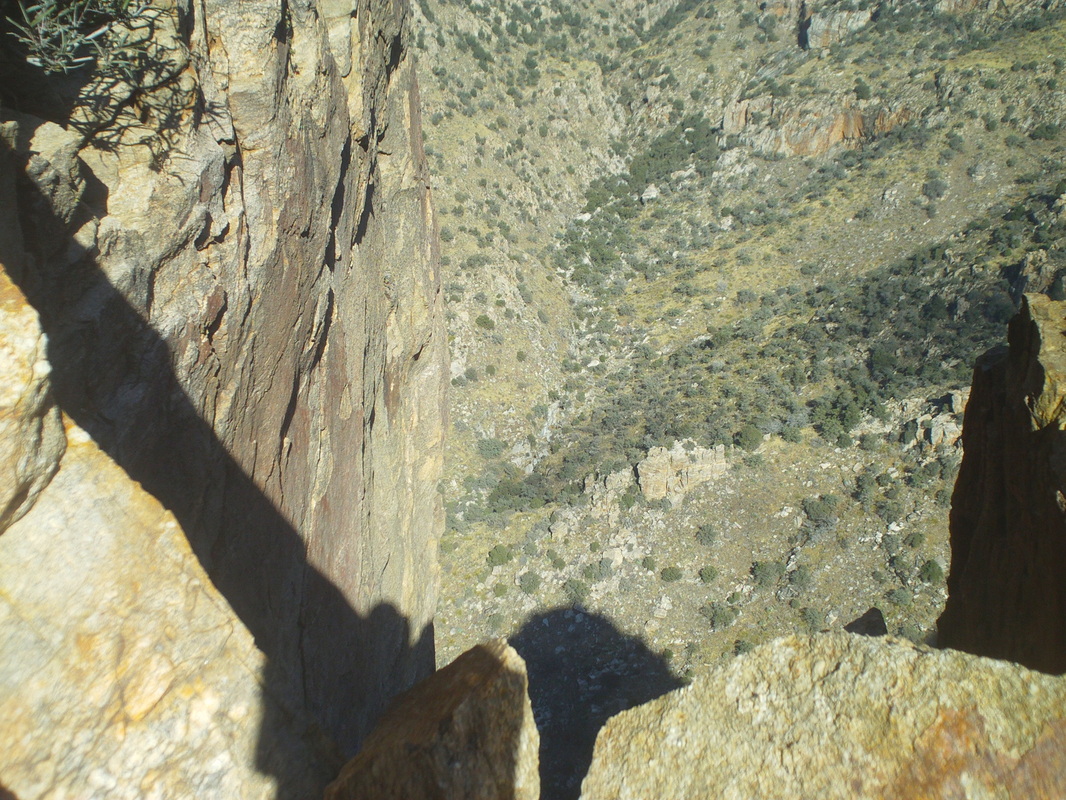
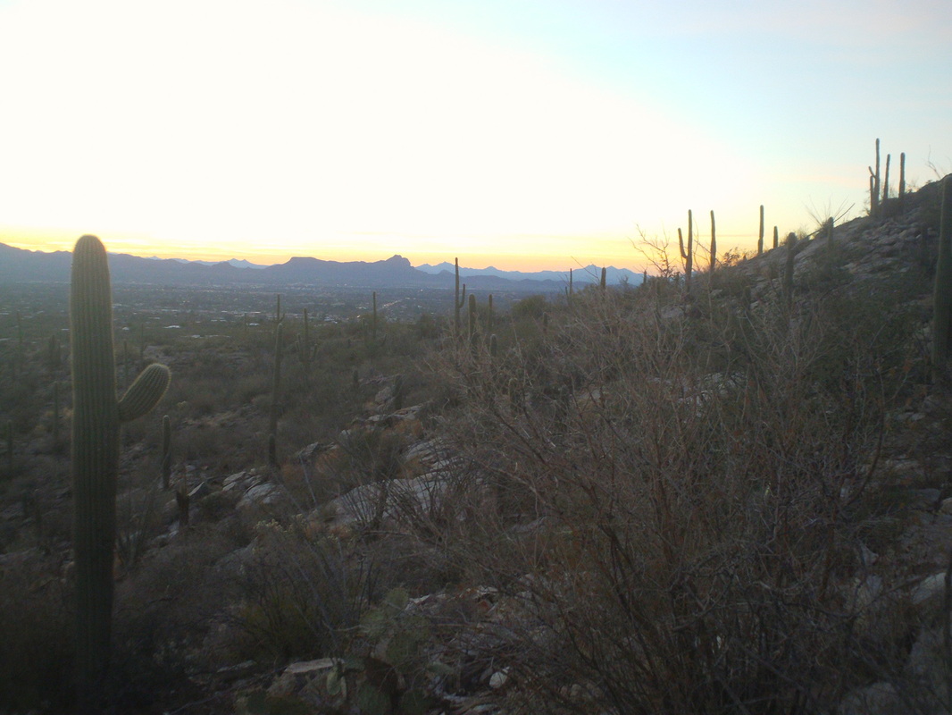
With the cancellation, due to weather, of the hike to the top of Table Mountain, I was lucky to find another hike that still had an opening for the next day, Sunday. Eight of us gathered, took the obligatory group image and shoved off out of the Pima Canyon trailhead for what was promoted as a 9 mile hike. However, Joel, the lead hiker let me know the actual mileage was to be 7, 6 on trail and 1 off trail. This group and other hiking groups, routinely exaggerate the distance, the exposure and the climbing to deter the marginal hikers. However, what I have also discovered is they under estimate the amount of time to complete the off trail hikes. Instead of starting at 7:30am, the start was pushed back to 9:30 to allow for the last of the rain to clear the area. It's not a good idea to hike over wet rocks. After a somewhat brisk 3 miles, we stop, check the map and try to figure out if this is where we plunge into the thicket. Left to right are Joel, Belinda, Lisa, Gary and Stephanie, who I later described as a bulldog with wings. Just when things looked most desperate, she plunged over, under and around boulders and various obstacles to get us back to a trail. Yep, this is the place and so once again, we begin the bushwhacking, up a fairly steep drainage through the usual suspects of pointy type plants that are all poised to inflict projectiles into my skin. This time though, I outsmarted the bastards! I wore a pair of pants and a pair of shorts over top. Seems the spiney things would enter the fabric of the shorts but then the movement of the fabric between the clothing would sheer off the pointy things. Somewhere about 3/4 of the way up, we got cliffed out and had to stop and plot a workaround. The temperature at the start had been around 45 and now, a couple of thousand feet higher and with our gloves wet, several of us had problems with frozen fingers. One of us, Belinda, had been shivering and with that and the calories burned from the hike, began to bonk and suddenly sat down and became faint. Some food and drink allowed her to recover rapidly. We found a way up but it still involved some steep climbing in spots. Joel above, waiting for us to catch up. Gary Tenen, interesting guy and story. Back in the 70's, he was hiking around a property with a friend and they came across an opening in a field. Upon further exploration, they discovered what became known as the Kartchner Caverns. They kept it a secret for 20+ years as they explored the expansive network of caves and after much effort, had the natural wonder turned in to a state park, officially opening in 1999. With only a little way to go, we were confronted with a class 4/5 climb, meaning ropes would be needed to ascend about 30 feet. Gary climbed up, established the webbing/ropes and up we went. Prior to that, some wanted to climb up via an alternate route on a nearly vertical wall with just a wee bit of exposure over a 1000' drop. No thanks. Upon reaching the top of Valentine Peak, we signed in at the sealed register, apparently the first to visit the peak since 2010. I thought we spent way too much time at the top, yes eating and resting which was needed, but also too much mucking around. I was getting antsy since it was almost 3:00pm, the sun sets at 5:15ish and the way down was unknown. To make a long story short, we down climbed through the brush and rocks, reached the trail at 4:30 but farther up then where we had entered. I and two others began trail running and at 5:37, I arrived in the parking lot. Above, a cool view with the sun below the horizon. The other hikers must have had flashlights and exited later. Ended up with 10 miles and 3800' of climbing. Long day but lots of fun.
0 Comments
Leave a Reply. |
Categories
All
Archives
November 2023
|
