|
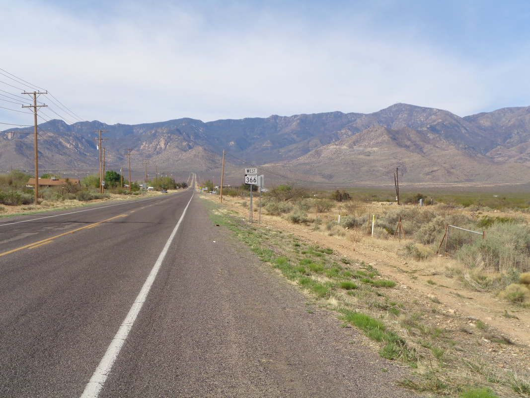
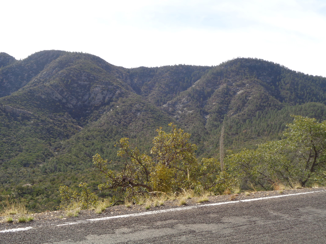
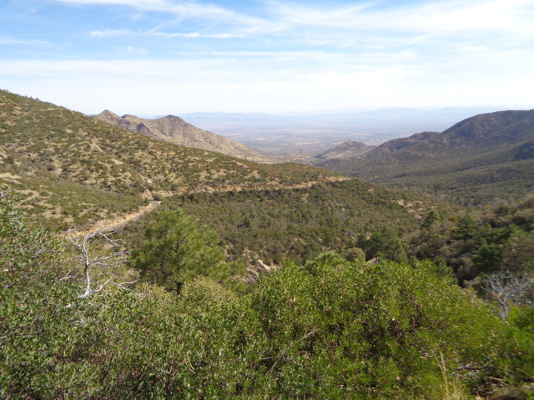
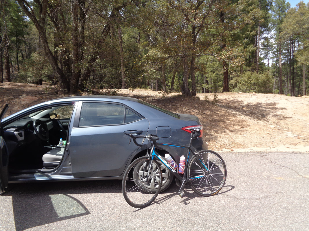
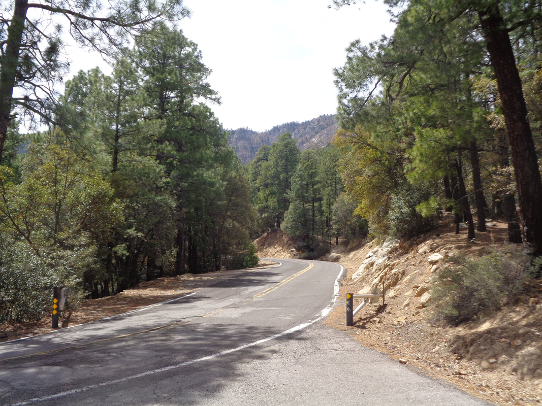
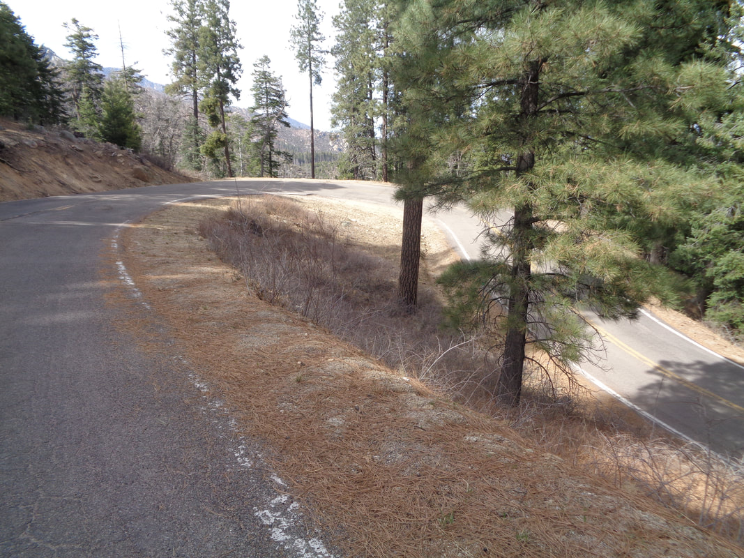
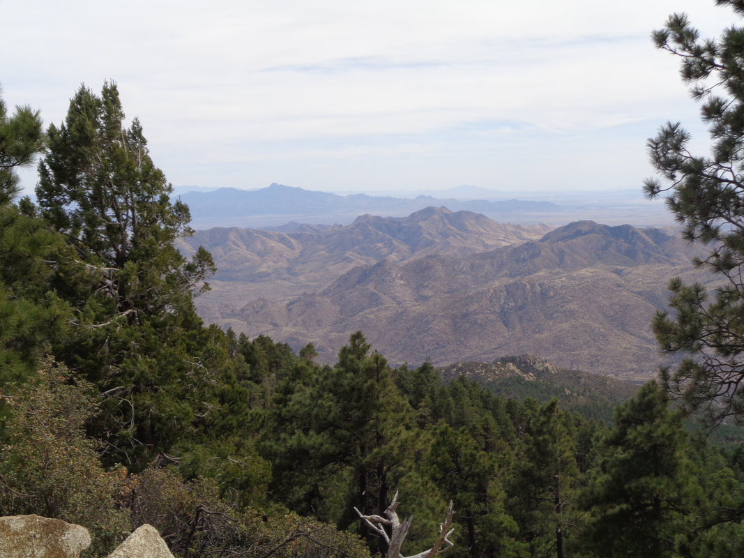
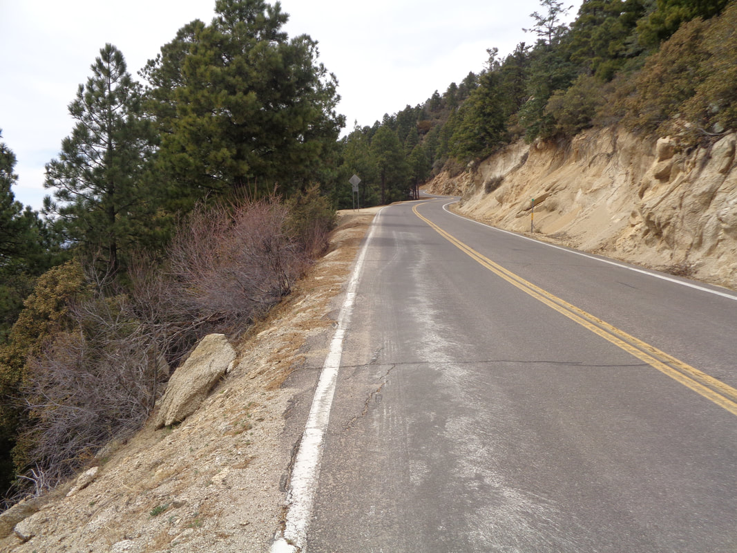
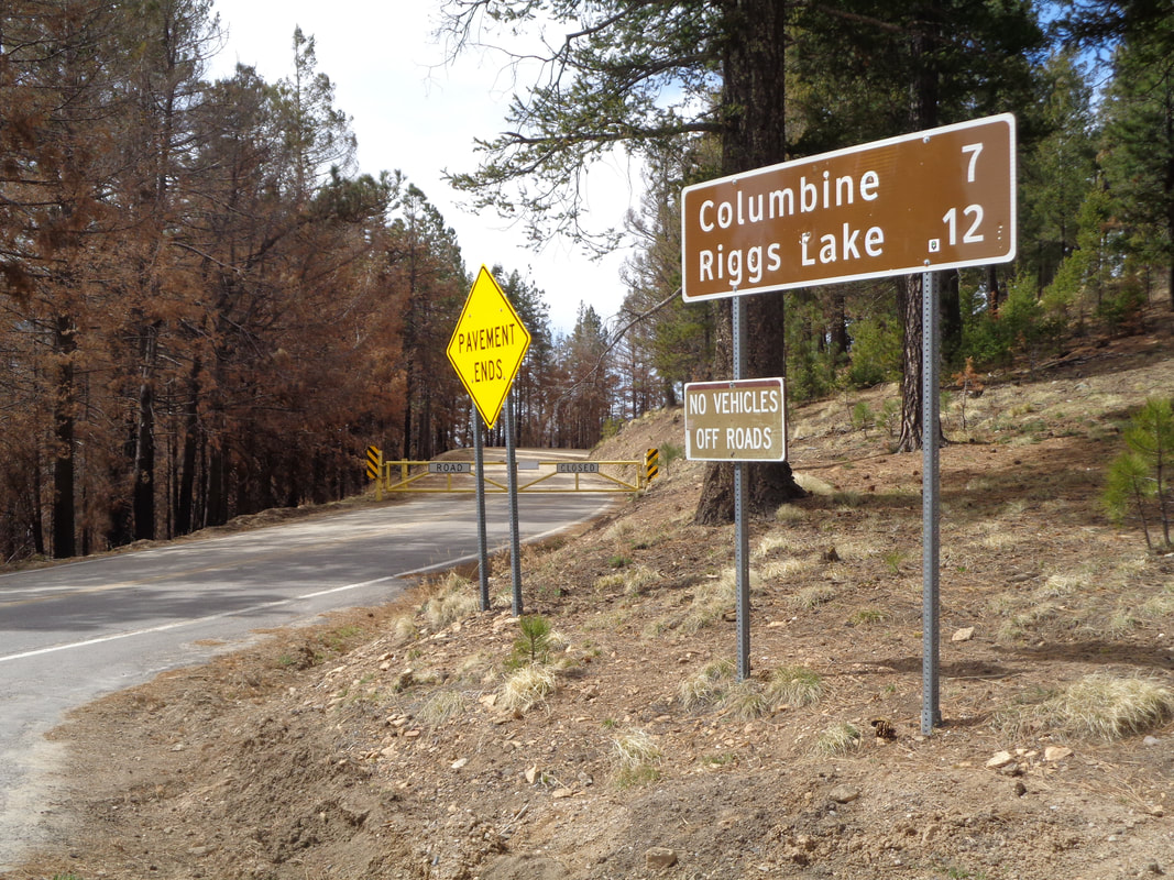
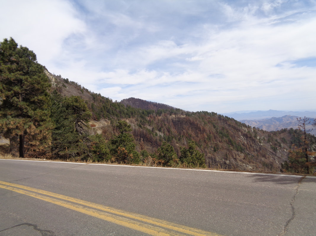
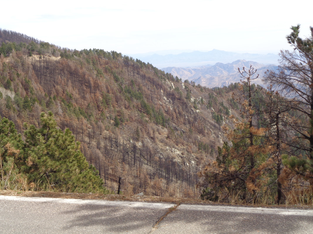
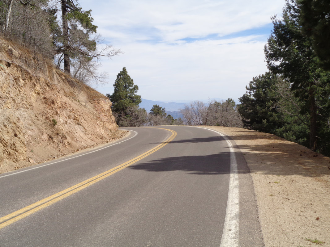
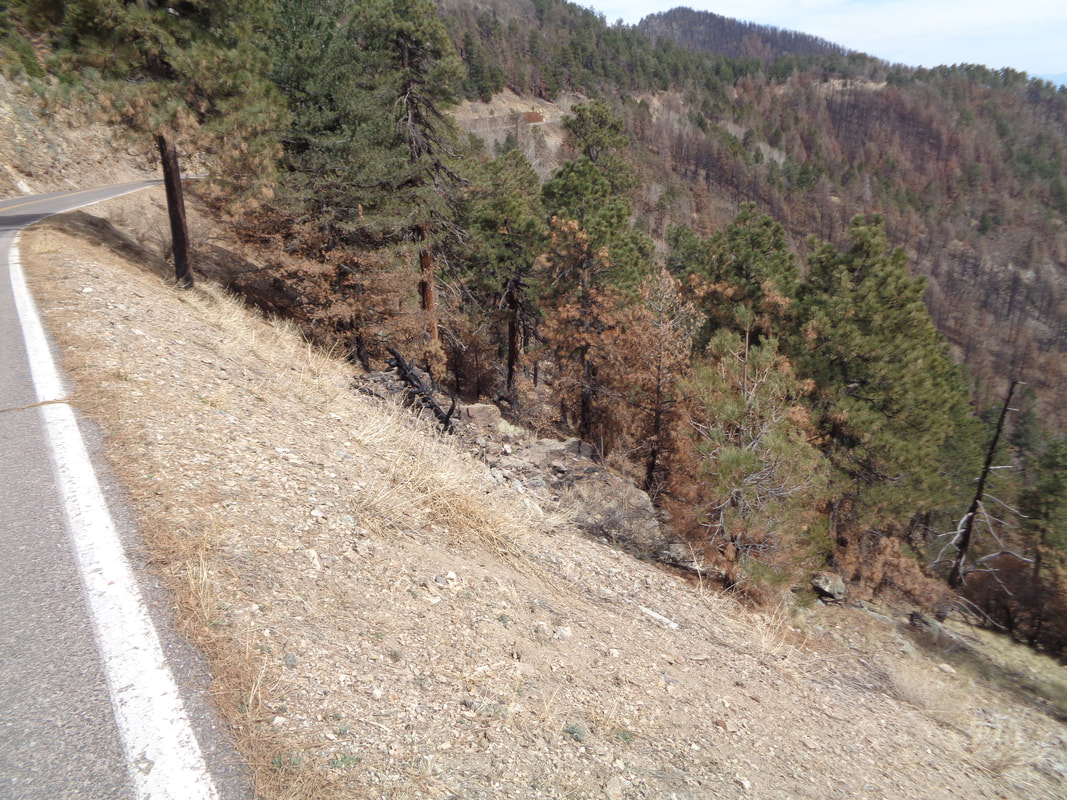
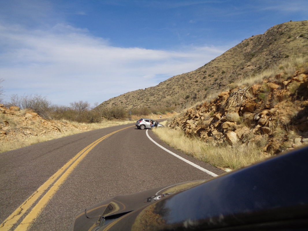
While Mount Lemmon and Kitt Peak get all the attention, to the east, near Safford and a 2+ hour drive from my home is Mount Graham. Although the state hill climb championship is held here and the U of A cycling team trains here, few cyclists make the drive to ride the mountain. On Strava, close to 7000 have recorded an effort on Lemmon but fewer than 500 on this mountain. At the base of the climb there is a market that makes good subs. The road heads directly toward the mountain and then switchbacks back and forth up the face. Almost always the view is blocked so the climb in that regard is very inferior to the other two, aforementioned climbs. Note the condition of the pavement. Really rough. I'd try to keep my wheels on the smoother paint line but soon lose focus and back onto the surface. Ugh. Above, foothills on the way up. There are no services on the mountain so earlier, I drove my car 12 miles up the road so I could change clothing and top off the bottles. On the coast down, I had a flat so glad I had a couple of extra tubes, one with me and one at the car. There were some good views but not many. At mile 12..... ....I stop. The climb starts at around 3500' and goes above 9000' so I took a jacket with me from the car and..... ....headed up. I checked my Garmin many times and the steepest the road became was 12% but seemed to always be in the 7-9% range. Several times, I would yell, "Give me a break!" It was unrelenting. For comparison, the Lemmon segment is 21 miles with a 5450' gain. The Graham segment is 19 miles with a 5595" gain. That is an average of 6% vs. 5% and that extra 1% is a killer. Many hairpin curves which I like for climbing but for descending, it was awful with cinders in the curves, I suppose applied during the winter and then washed into turns during rain or snow melt. I was really glad I had started the day descending the first 12 miles so on my return from the top, I'd have only 10 miles of this. There is a very small community of homes through which #366 passes on the way up the mountain and then when I reached Hagen's Point, there the views were very rewarding. A few years ago I had reached this point on my only previous visit and turned around. This visit I wanted to reach the point where the pavement ends so I..... ....kept going. I read somewhere that from the Hagen's Point the road flattens and averages 3%. Bullshit!!! There are 4 descents that brings the average down but when you are climbing, you are CLIMBING! I got to Shannon Campground where there was an overlook and paused, wondering if I should keep going. I did and maybe half a mile later..... ....yay! OK, kind of an anticlimactic end. The dirt road continues to an observatory that is never seen during the climb. By the way, during my two visits, I saw a grand total of one other cyclist. Vehicles are few but perhaps in the summer there are many more to escape the heat. I turned around and headed down. The first couple of miles of descending is non technical but with no barriers along the way, I stayed well off the side, never knowing when I blast of wind might send me over. A major fire had been in the area late last year and I saw some evidence of it but not a lot. One burned area is in the lower center of the above image. It would be easy to become distracted and overcook a turn. There would be no climbing out of that if you survived the fall. I was grateful that at this elevation, a vehicle was rare, coming or going. Arrived back to the car with 6000+ feet of climbing and 43 miles. I took my time on the climb and thus, my Strava result is way, way down the list. Hard to imagine anyone going slower! While driving down I passed.... .....a car that had gone left of center and to avoid an oncoming car, swerved into the rocks. Now for a 2 hour drive home.
0 Comments
Leave a Reply. |
Categories
All
Archives
November 2023
|
