|
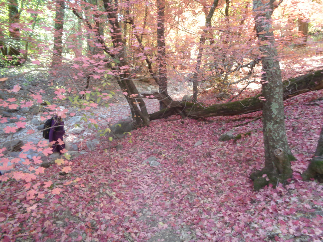
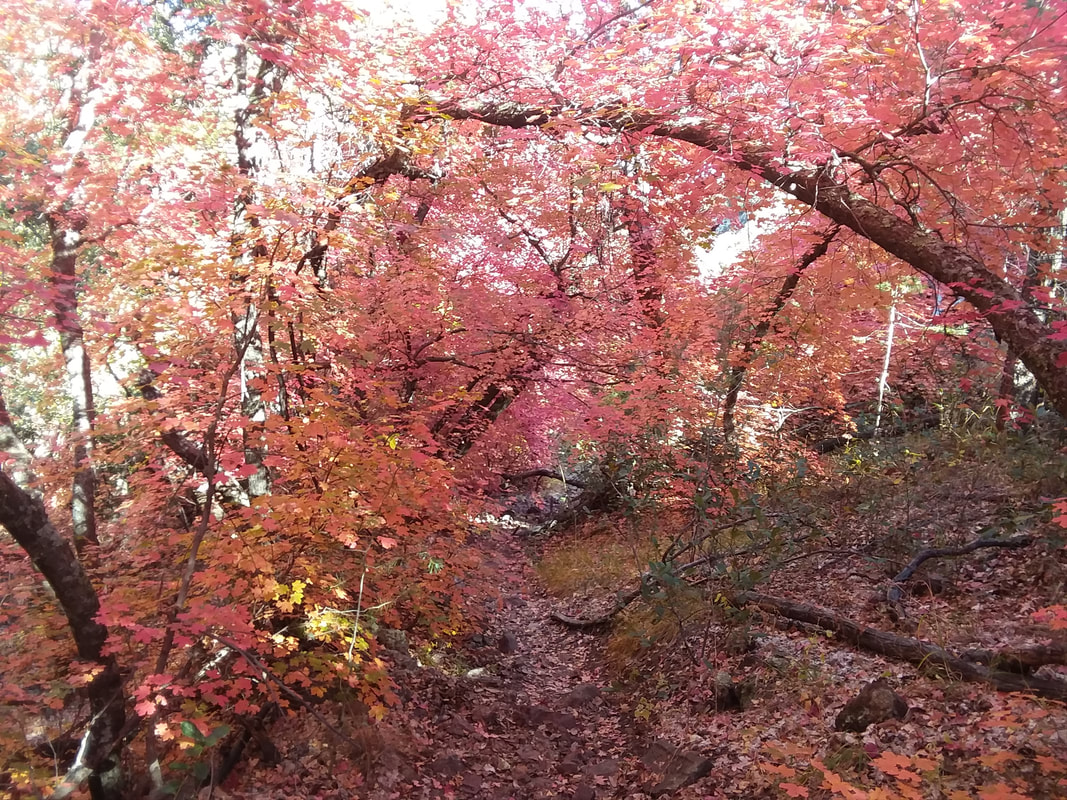
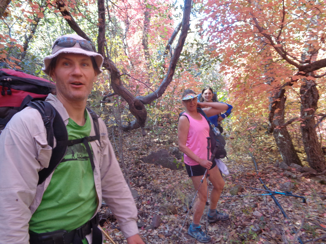
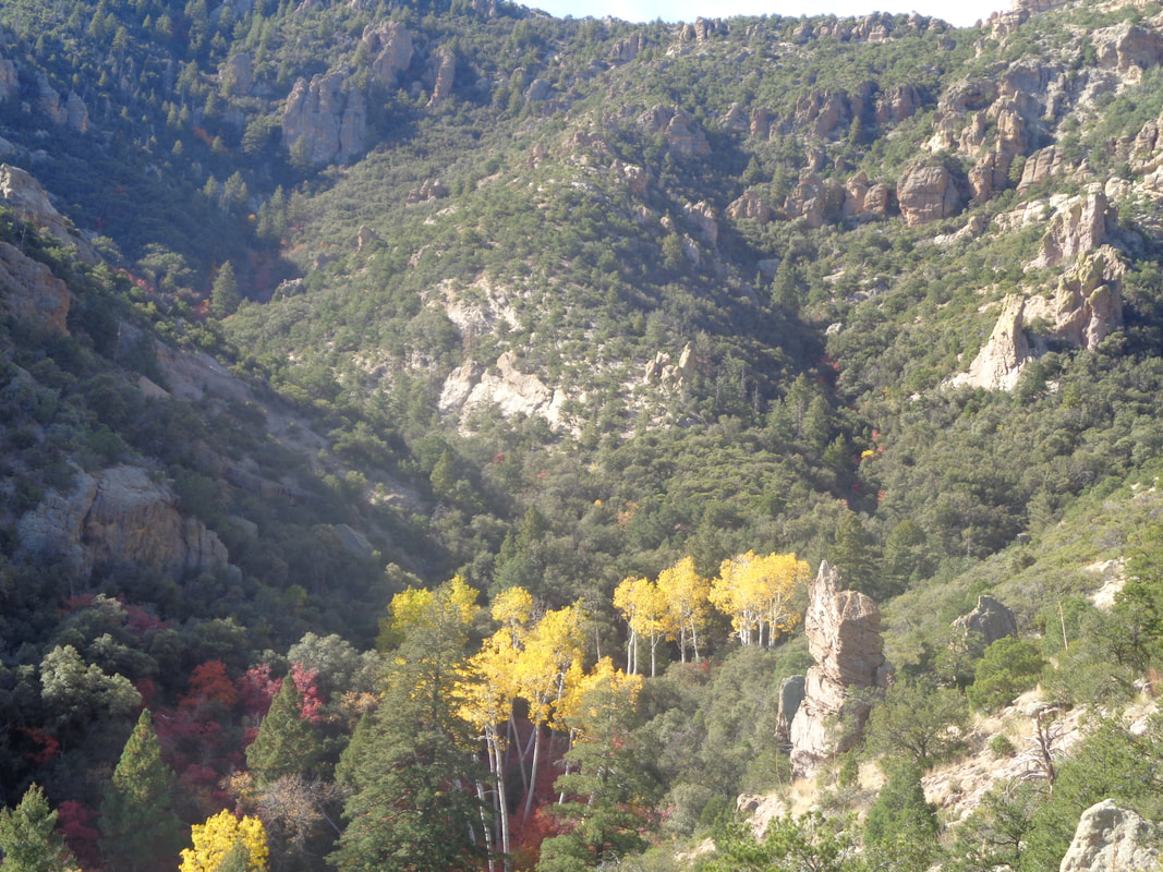
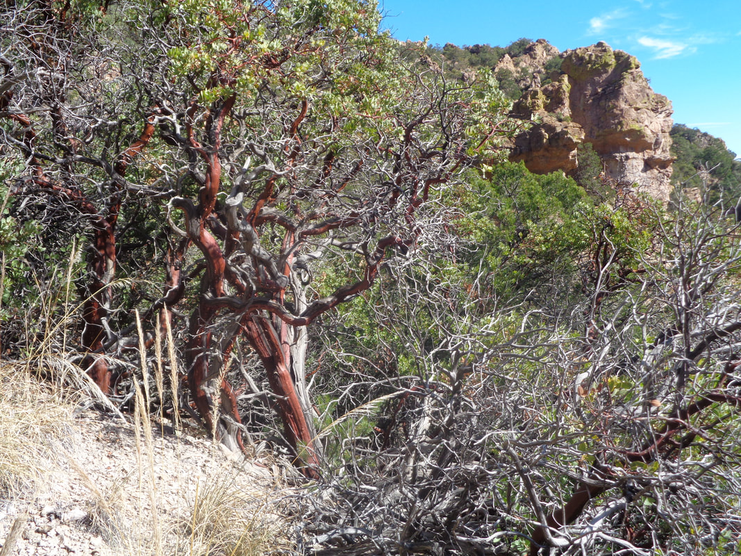
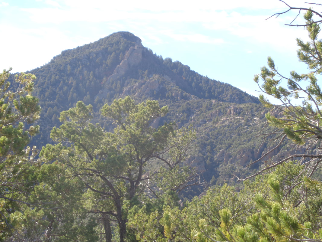
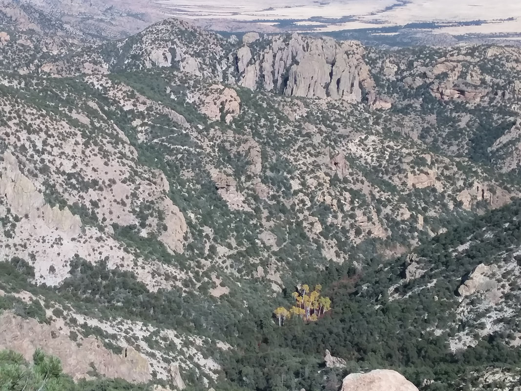
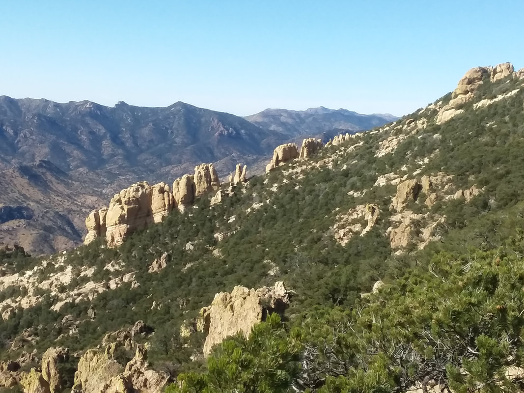
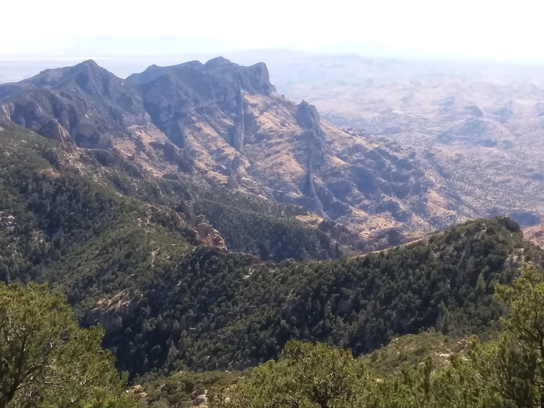
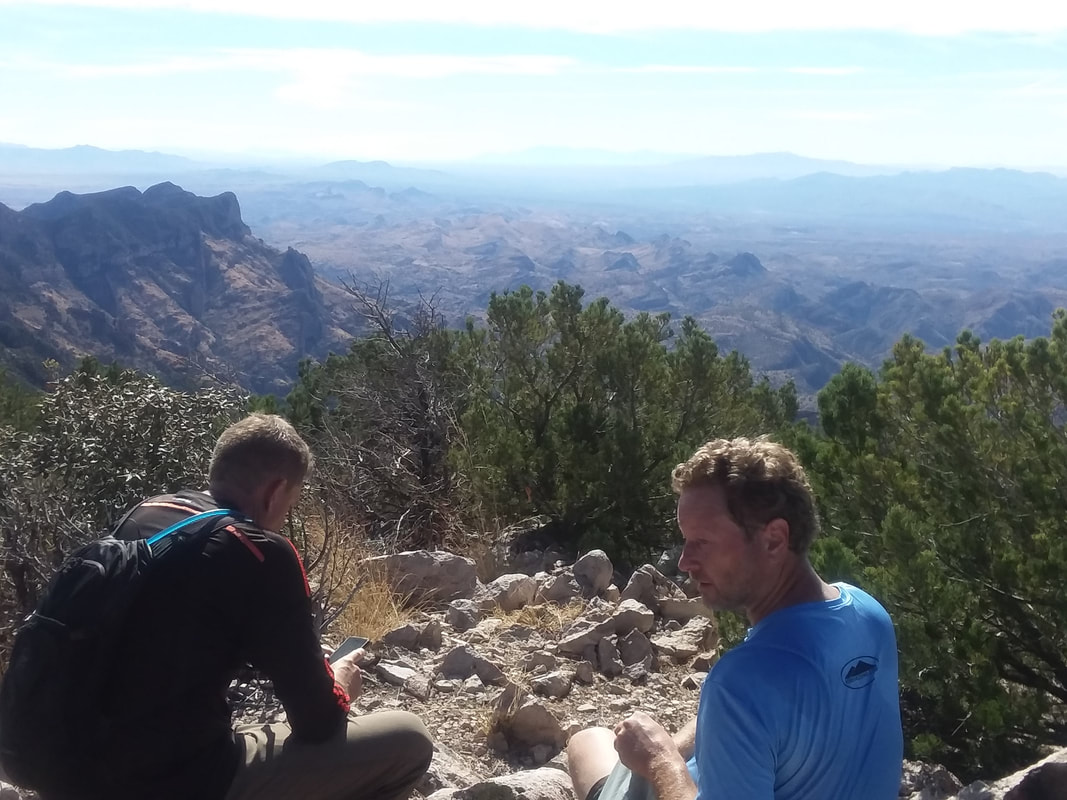
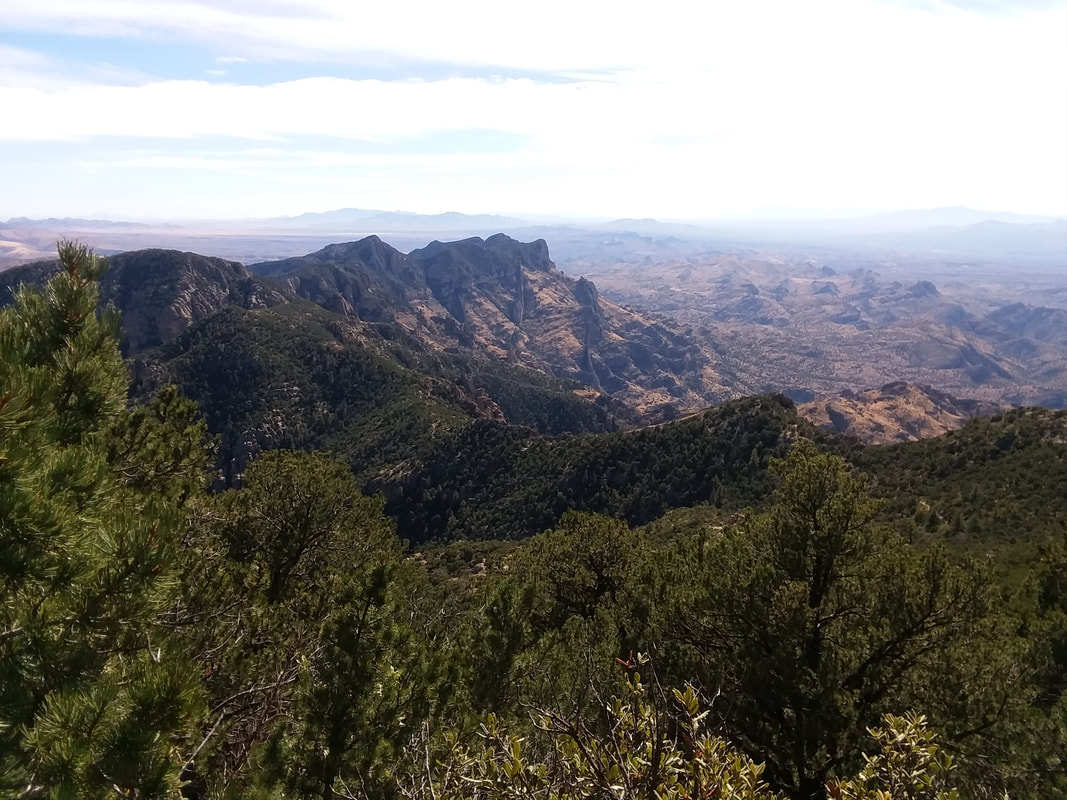
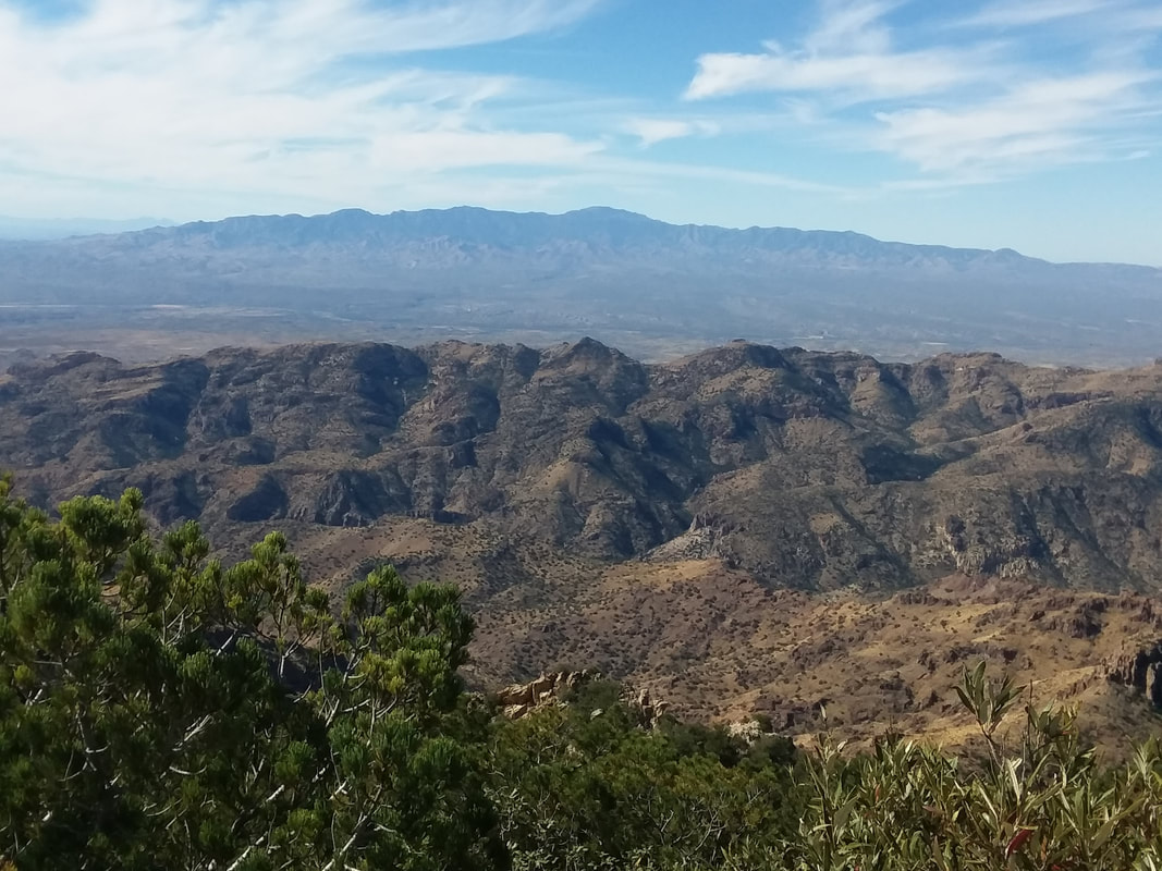
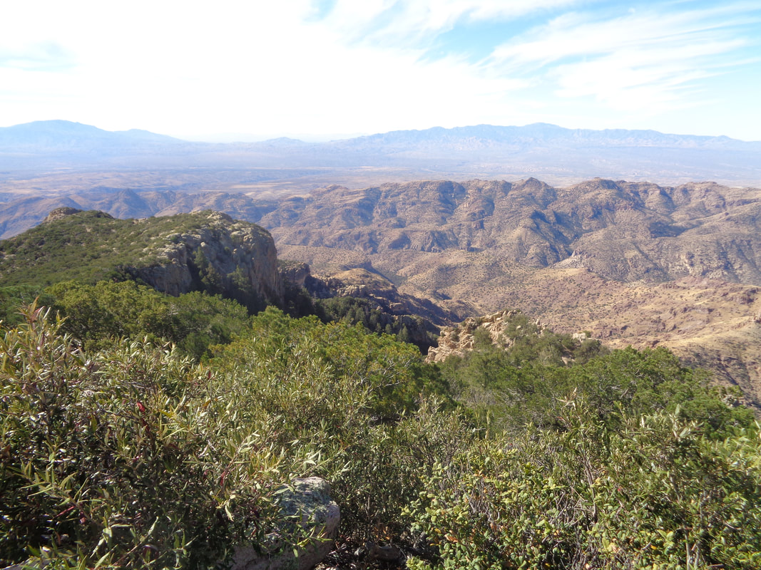
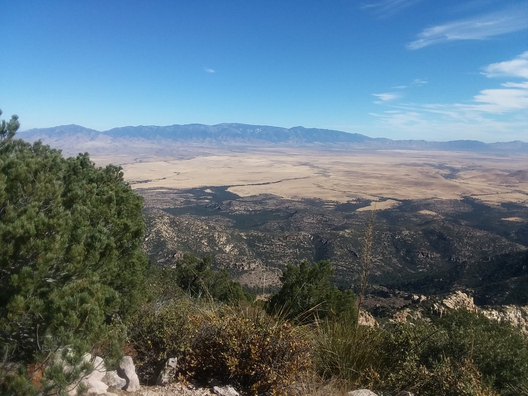
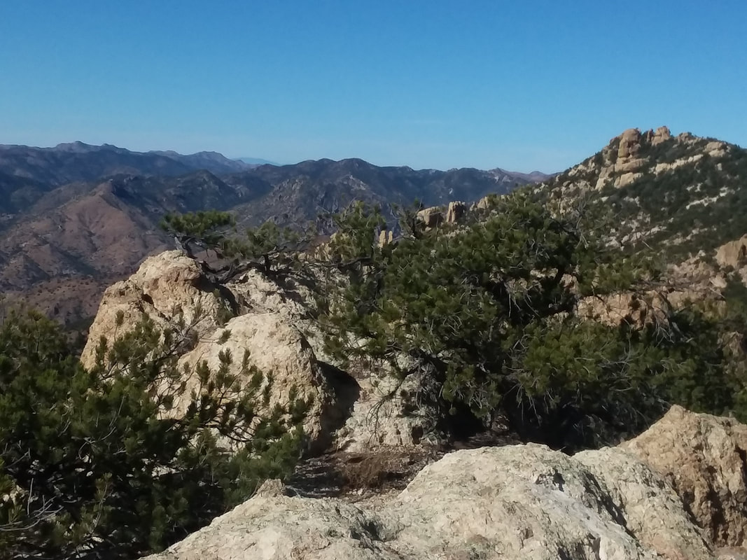
A long but fun day. I committed to this hike a few weeks ago. It is said to be the best leaf watching hike in AZ but a hard one and it was. So Mr. Nice Guy saw a student from UofA wanted to do the hike but did not have a car so could someone pick her up in Tucson. I waited and watched and no one committed so I did. Let's not delve into that cause it is a side issue. I drive as far as my Civic can go on a 15 mile dirt road, 1 mile shy of the trail head. Then, a guy in a SUV comes along and offers to take us the remaining mile to the trail head. What luck and what a bouncy drive and yeah, high clearance vehicles need only apply. This is 34 miles north of Wilcox, AZ. The student I picked up in downtown Tucson is from northern Iran, here on a student visa. Nice person, quiet and somewhat reserved. Good traveling companion and she solved the mystery of why the interior of the windshield is clouded, as if a smoker drove the car. It has to do with the polymers used for manufacturing the dashboard, how that interacts with summer heat, throwing off molecules that then cloud the windshield. Smart young lady with a bright future, here entering the tunnel of color. Wait, what??? This is AZ. The people who prefer Florida are crazy, so flat and boring while in AZ, you have this and so much more! Our group was 15 and a long story but my Iranian buddy and I hiked alone for awhile. Here, we ran into a threesome who had spent the night at the peak and were on their way down. They had some good info for the trail....when you reach sections that are overgrown, just shove yourself forward. Ok! Everyone who ventures up this difficult trail is so fit. No fatties need apply. Kept hiking up the trail out of Ash Canyon and despite all the beauty, it began to get monotonous and then....the trail broke toward a wall and I rose above Ash Canyon. However, you can see the magnificent colors through which I hiked. Wow. I began to encounter Manzanita bushes, notable for their scarlet colored branches. I was hiking alone now, having provided some guidance through multiple stream crossings. From this point on, the trail is mostly obvious. I wondered, where is the peak and then..... ....close to reaching a ridge, to the south, ugh, there it is. So far yet to go. That looks steep at the top and so it was. Cool, there is the canyon through which I hiked, the end of it populated by Aspen trees with yellow leaves. Now, multiple mountain ranges began to emerge as I slogged higher. I began to think about a Strava segment, yeah crazy but as it turns out, none existed on this remote route. WOW!!!!! I reached the peak and a few minutes later, so too did the guy who gave me a lift at the bottom. There were three of them and they all are prominent members of "hikearizona.com" a popular destination for hikers seeking routes and info on hikes around the US. Actually, the originator of the site was there, healing from a 20' fall a month ago. Yeah, similar to an image I already posted but this was awesome. Although it was a 2+ hour drive from Oro Valley, Mount Lemmon and the surrounding Catalina Mountains were prominent in the background, appearing to be closer than they are. Many other ranges were also observed. Fantastic. I had been waiting for an hour prior to any members of the group arriving and that is too long so I began a solo effort, got lost as the trail is overgrown and faint, ended up left of that plateau on the left of the image, heard some voices, did some bush whacking and finally found the real trail. To the east, Mount Graham with an observatory barely visible. From this point, the trail heads to the ridge then down into Ash Canyon. With the hike and subsequent unplanned walking to the car, got in 13+ miles and 3000'+ feet of hard climbing. Well, got another good one coming after a couple of days of cycling.
0 Comments
Leave a Reply. |
Categories
All
Archives
November 2023
|

