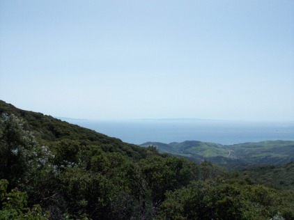
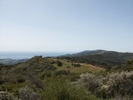
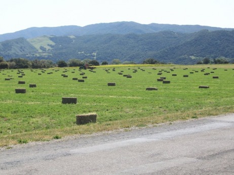
 Ahhh, a day off with no more than a 20 mile spin around the valley. Talked to a couple from Cleveland who told me they made it up the dirt section on Refugio to the top, found a nicely paved road out to a array of satellites and came back. Told me the best views in the valley were up there so I had to check that out. On the paved portion of Refugio, crossed 6 streams, some of which were cascading over large boulders before leveling for the road crossing and then plunging down into a valley. Very picturesque and wild. Before this though, I passed a field that had just been baled. The aroma of freshly cut hay was strong and after our winter, was a great smell. 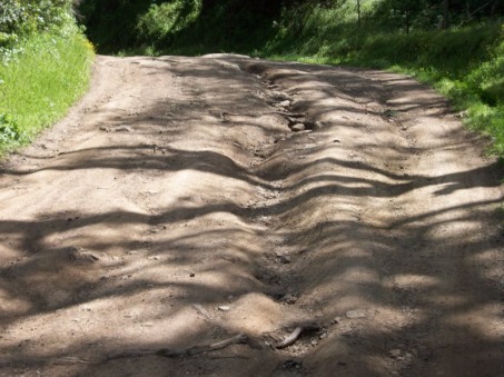 Finally reached the end of the pavement at mile 10 and started up. I have ridden on roads with a canyon to the left and a canyon to the right but never a canyon in the middle of the road. Packed dirt with rocks every where protruding through the surface made it a heck of a challenge to stay upright. I could imagine someone like Larry P or Ginger, utilizing their cyclecross skills, navigating the maze but I kept choosing the wrong lines and running up against 12" drops. Eventually though, I gained more experience and by the end, cumulatively, I spent about 95% of my time riding rather than pushing. I anticipated the dirt section being a mile but that came and went. I passed hikers and inquired the distance to the top and one guy said I was half way. No friggin way I thought. But, he was right. After 3.2 miles I reached pavement. Quite an adventure and I'm glad I did it. Gained 1400' and reached the turn, which continued up. The road narrowed and at one point, a glance to the right showed a wide expanse of the coast and ocean and a glance to the left showed the Santa Ynez Valley and mountain range beyond. I sorely wished my cycling buddies were there to see the awesome views. Words and images can not adequately describe or show it. One can only see it, not describe it. 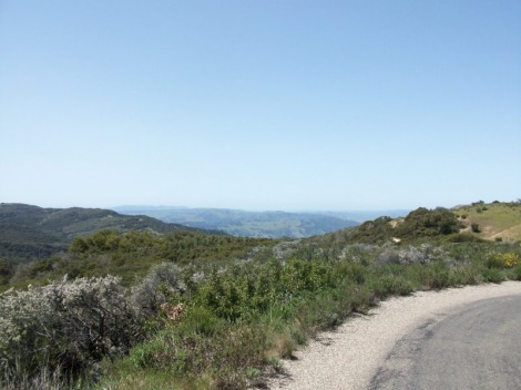 The climb to the satellites is about 6 miles but after 4, I decided there was no point to going any further to a dead-end. Plus, my brake pads in the rear had been worn to a nub and the local bike shop did not have the cork brake pads I needed. I coasted back to the intersection and decided I did not want to walk my bike down that 3 miles of dirt so decided to take the paved option out to the coast and pick up highway 101. Some day, I need to come back and climb what I descended. It may be the toughest climb in the area. I finally reached the bottom and the beach and headed west on 101. I figured I would reach an exit I had driven many times before, that would take me back to Solvang, in about 4-5 miles....wrong!!!! By mile 7, of riding on the equivalent of I-70 with mostly trucks and RVs passing me, I pulled off the road. What to do, what to do. I called various people to find someone in front of the internet and reached my good fellow Steve O. While it took him awhile, after consulting Mapquest, he confirmed what I suspected...I was screwed. Another mile or two brought me to a tunnel that the locals call, "The Tunnel of Death" for cyclists...great. I pushed my bike, on a narrow raised concrete path with the deafening noise of trucks and cars resounding off the tunnel walls. good grief. On I went and finally, after 14 miles of joyless cycling on the interstate, I reach the exit. Reached the hotel with 46 miles and 4600' of climbing. Drove to Hitching Post for a steak and to check out the 2nd half of the Buckeye game. Tomorrow, as said on an earlier posting, is the Solvang Double Century. I'll jump the route and ride half.
0 Comments
Leave a Reply. |
Categories
All
Archives
November 2023
|
