|
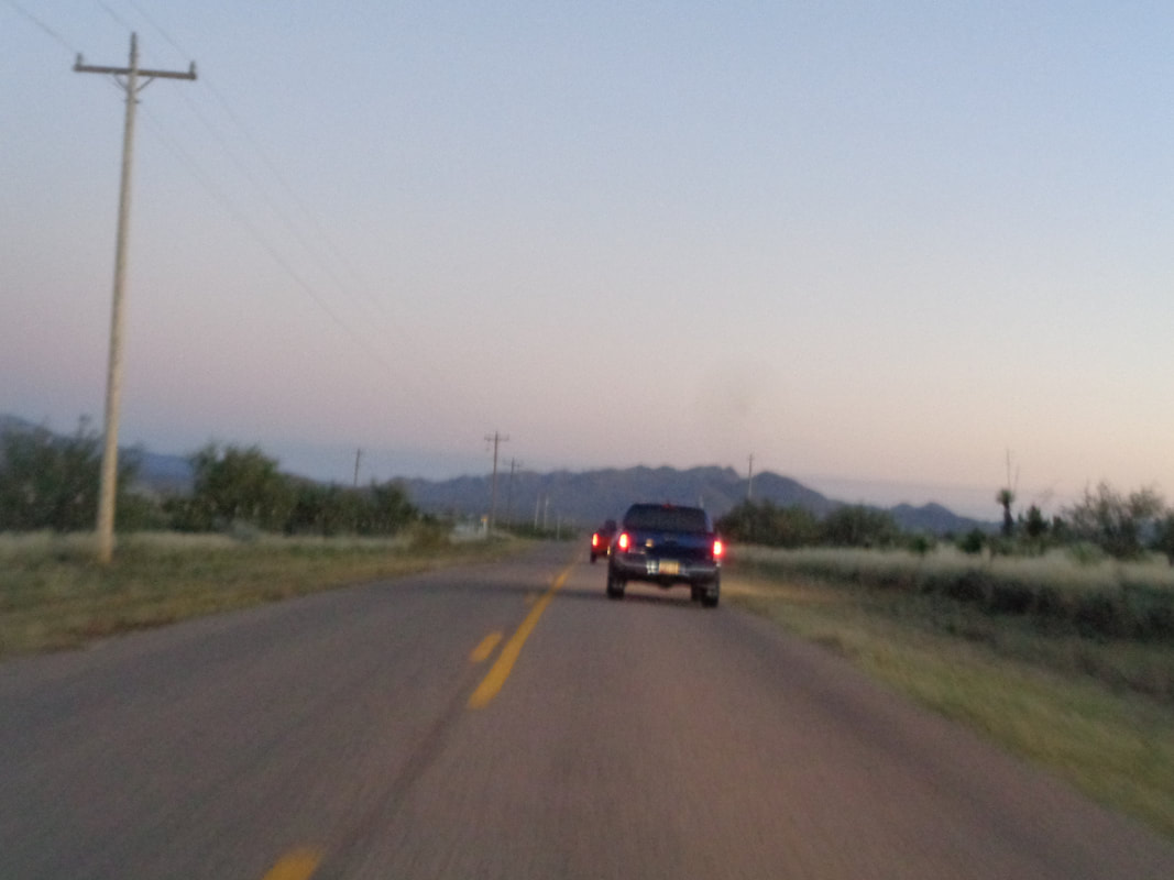
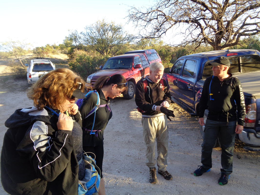
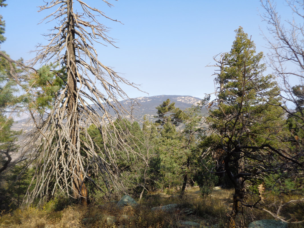
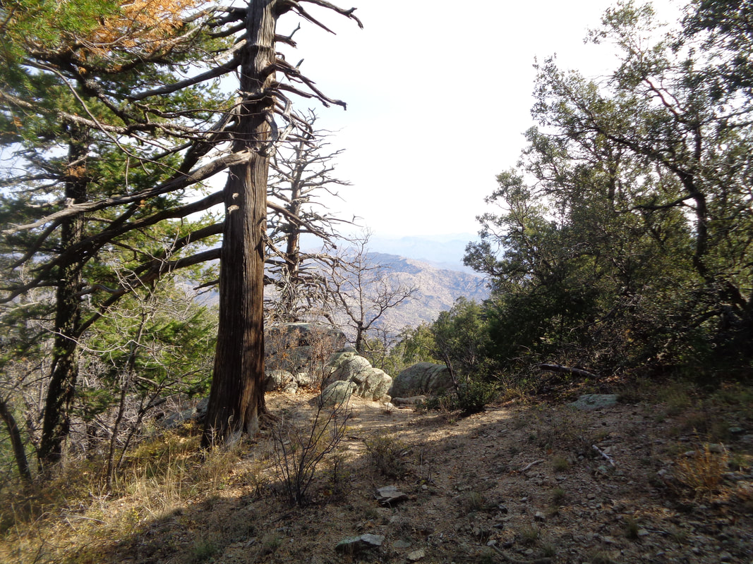
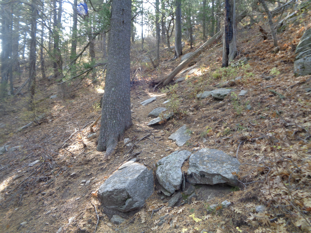
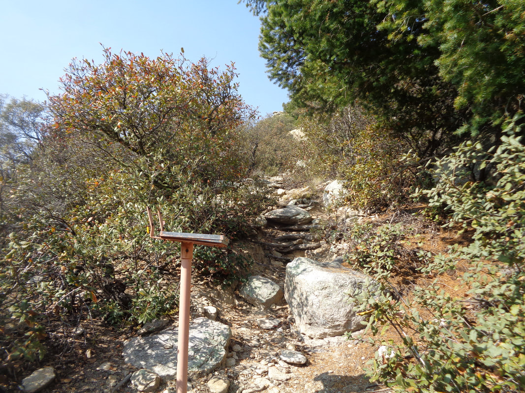
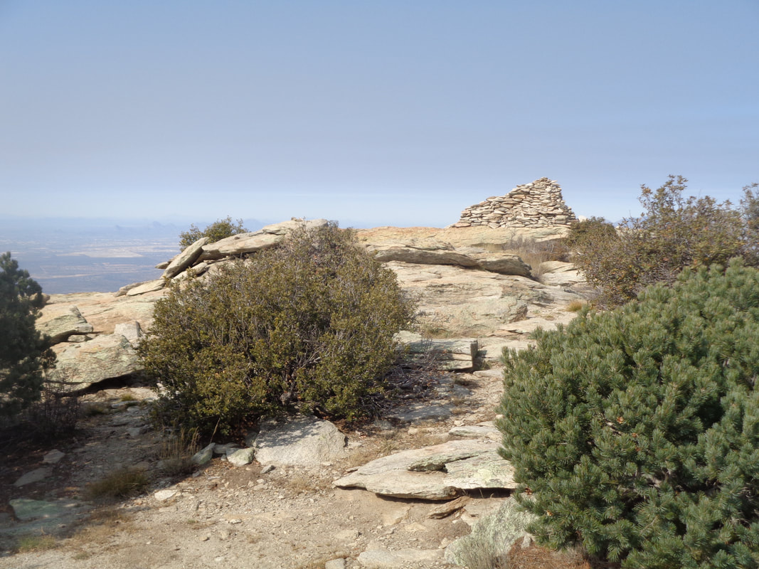
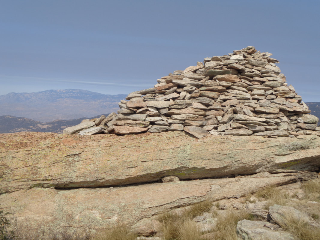
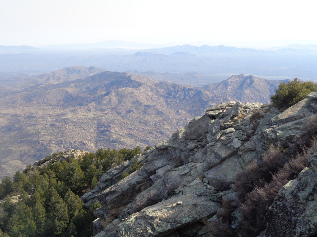
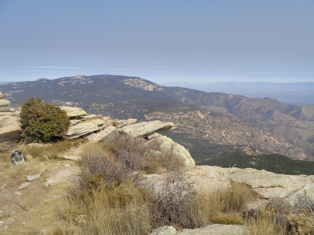
I drive about an hour to Benson where I meet a group of 8 who have come down from Phoenix to hike Rincon Peak. I drive my car, thinking I can make it to the trail head as I did a couple of years ago. The final 12 miles to the Miller Creek trailhead is dirt. I observe a truck in front go through a creek crossing above its axels. I stop. Can't risk that and am picked up by a following SUV. Among this Phoenix group was Gina, 2nd from the left and next to Elaine. She is the real deal. Ultra trail runner and hiker. Everyone knows who she is. Our host to her left, Bill. The guy has an encyclopedia knowledge of Tucson area trails and very fit too. This is a new group with whom I just became a member, "Arizona Strong Hikers." How about that for a name!!! I had to show I was worthy and I had Strava segments to goad me too. That's like the perfect cocktail mix for me. We begin the hike with a fairly flat crossing and recrossing of Miller Creek. We reach a sign-in post and Bill asks me to mark the appropriate boxes. A couple of guys take off (Gina began running at the beginning and so was far ahead) so now the game is on. This trail has few views beyond..... …..the dense vegetation but those that are there are very nice of distant peaks and the valley below. It is 4.5 miles to a respite known as "Happy Canyon" so my plan is to hit it hard to that point and then evaluate. Geesh, the miles to the canyon floor above are a twisty morass of boulders/sand/rock hopping, but at last I pass through a shady and lush riparian zone that comprises Happy Canyon. The trail is bound my by mature pines. What a relief after the steep climb. I reach a sign for the "Rincon Peak" trail and soon, even more serious climbing begins..... ….in earnest. This is what a 25% grade looks like and I know, the image gives no suggestion of the slope. The final mile is an average of 25% and the final half mile is 30%!!!! Having not done a hike of similar distance since spring, I thought about spitting the bit and turning around. Eventually, I spot sheer granite rock and know I am close. I crawled at times, no kidding as I was in agony. My previous longest hike this visit was only 9 miles. I sign in to the summit register the usual way, "GO BUCKEYES" and my name. Nooooo. You can barely see it upper center but the peak is still so far away. Now vegetation slips away and I'm navigating through boulders but finally...... ….the peak. 8 miles and 4500+' of climbing. The rock pile has been assembled over time by hikers as a monument of sorts and is 6' tall. It provides a good wind break as it is very windy and cold too! I'm the first to reach the top but frankly, I am pretty sure had she been motivated, I would have been 2nd to Gina. Sheltering behind the monument, I load the ascent on to Strava and am thrilled with the results but the leaderboard is kind of small. Probably only on average, 1 group a day attempts this hike. I can see all the way to at least Iowa from here! The real prize is the views and the feeling of accomplishment that goes with finishing the effort. After 15 minutes of gawking, I begin the steep descent. I assume I will barely be able to walk the next day after this joint pounding effort. A final look around. I descend and meet the others coming up who wisely chose not to go into death march mode. The descent takes longer than the ascent and there were many piles of bear scat although later I was told they were from Javelinas. Well, Javelinas can be dangerous too! Finally, the grueling descent ends and Gina takes pity on me and gives me a lift to my car. About 2 hours later, I was sitting in the spa. Damn did that feel good. I was surprised to discover my legs felt pretty good this morning so will do a short ride. A cold front moved through Sunday evening so the highs for a couple of days will only be in the 60's.
0 Comments
Leave a Reply. |
Categories
All
Archives
November 2023
|
