|
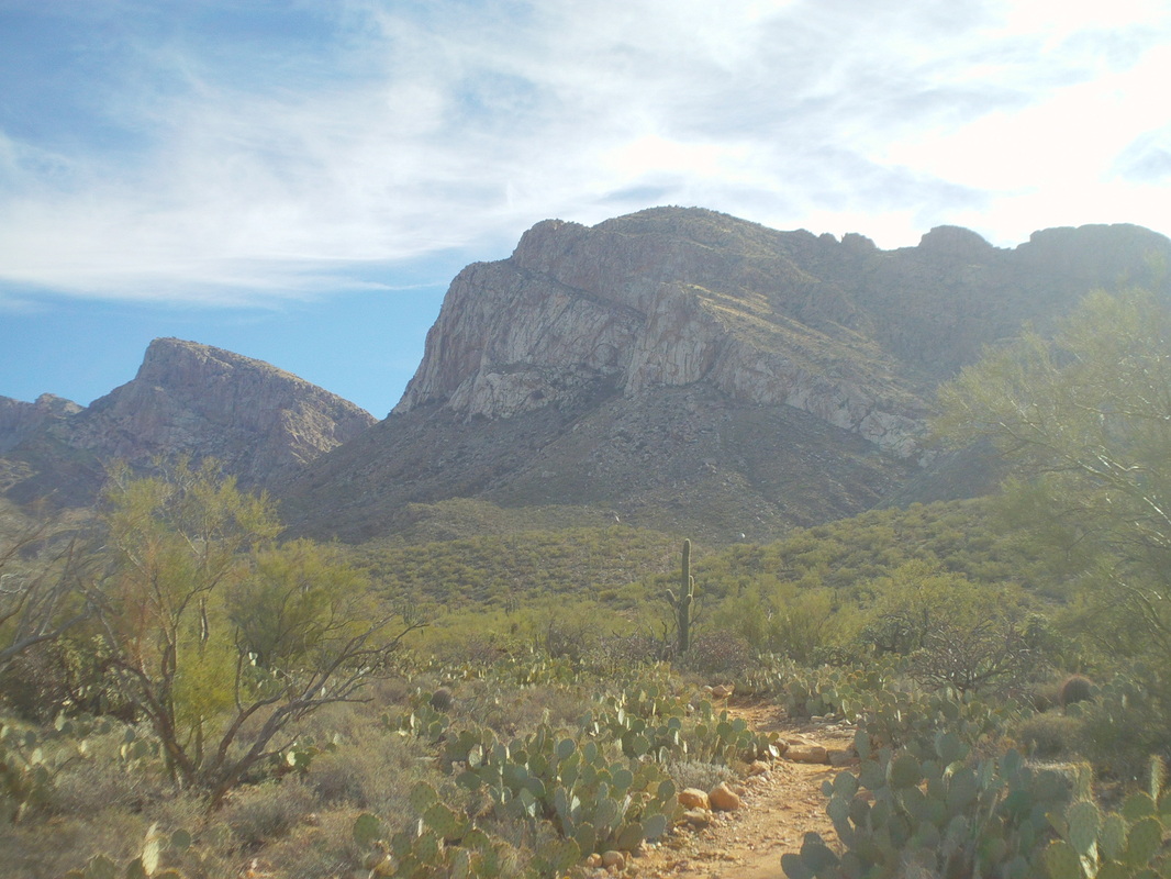
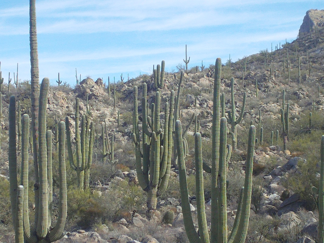
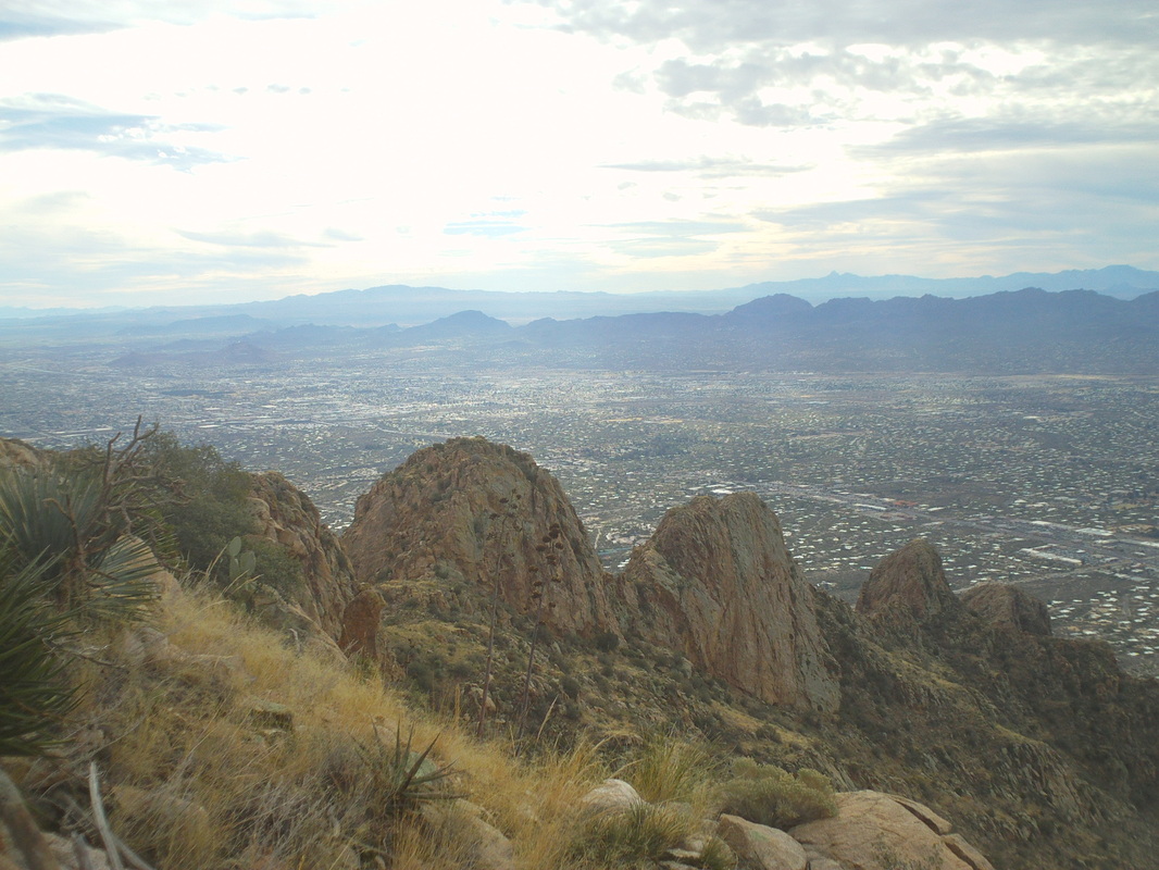
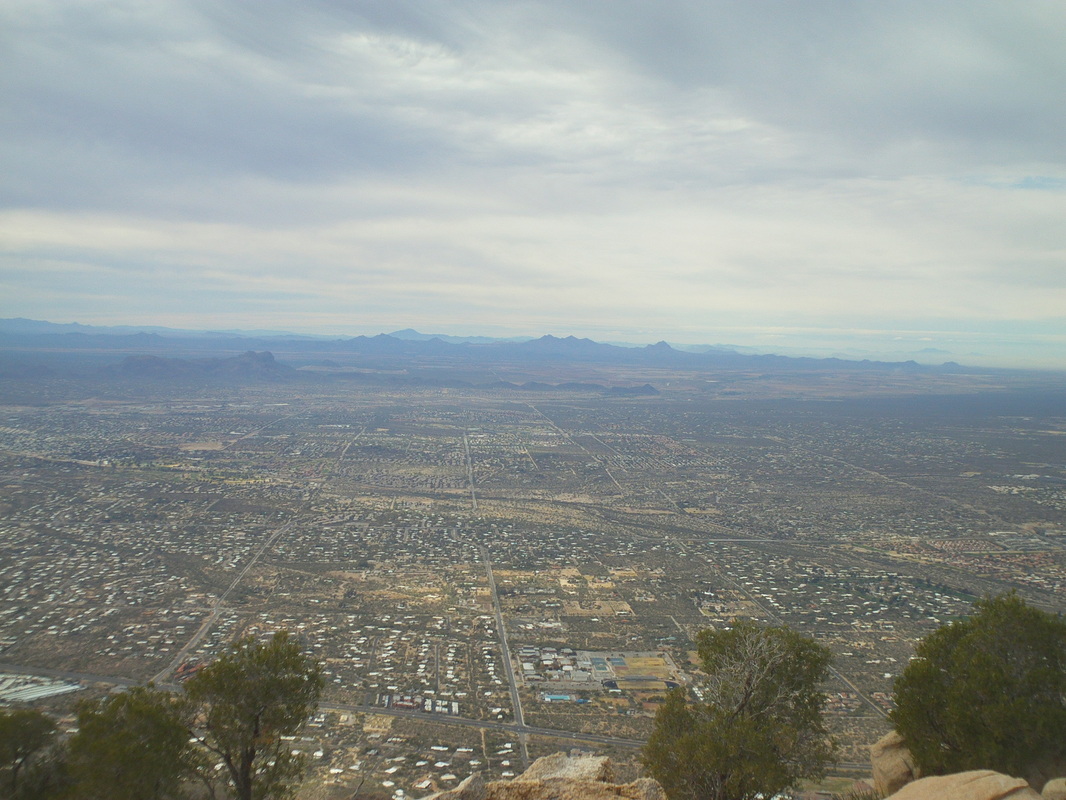
Every time I find my self in Oro Valley, I gaze at the 3-4 peaks that comprise the west end of the Santa Catalina Mountain range and wish there was a trail to take me to the top of one of the peaks. After asking around, I discovered that yes, there is a trail and it is only a mile from our place, the Pusch Peak trail. I could find little from a search of the internet and found the one hiking report a little misleading so I've put the title of the trail on this report and will go into too much detail for the casual reader, just in case a prospective hiker finds this. It's too bad the image makes the peak appear so close because it is not and the hike is one of the more strenuous in the area. As I said previously, the example of Saguaro cactus are really neat adn some of the most mature I have seen. At the trailhead, there is a sign of the trail that I found confusing regarding the distance and direction one should take. It illustrated options I did not see from that point. Anyway, I began hiking and quickly left the sounds of the city behind. After about 3/4 of a mile, a trail came in from the right that is easily missed, and in fact I missed it until my return. Within a few yards of this branch there is another fork with a signpost. Take the right branch to access the peak and immediately the real climbing begins and at times is ridiculously steep with a near vertical 15' wall that is climbed up on the right side where there are some foot and hand holds. I regret not makiing precise distance notes but by the time your muscles are aching, more or less, there is another fork. I took the right fork which does not take one to the peak but instead the lower right shoulder where there is a campsite and a fine overlook of the valley. Prior to reaching this point I passed two trails coming in from the right, down canyon, but ignored them and reached the campsite, not yet aware I was not on the peak trail. I continued on and up and eventually reached what on this image is the third from the left peak and decidedly not "The" peak. Rats so I retraced my steps, found the fork where I had gotten off the official peak trail and proceeded on. No letup as the trail kept going up and them up and for the heck of it, up some more. The wind was howling and in the distance I could see a weather front approaching. I quickly signed the "I've been there" sheet, which was tucked in an old rusted can under a boulder and headed back down. I lost the details but believe the total wsa 6 miles with 3500' of climbing. The views from this point are one of the best and I could clearly see Table Mountain and other peaks and moutain ranges in the distance.
0 Comments
Leave a Reply. |
Categories
All
Archives
November 2023
|


