|
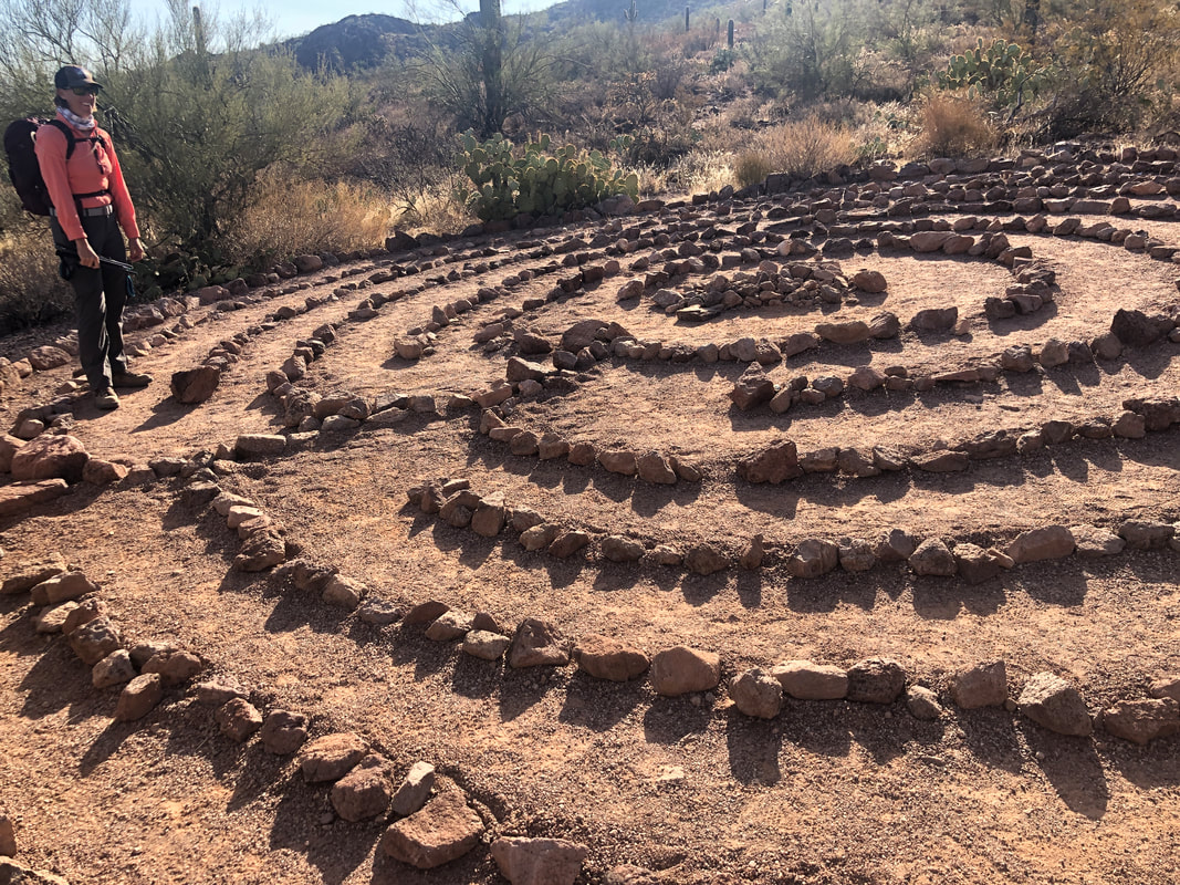
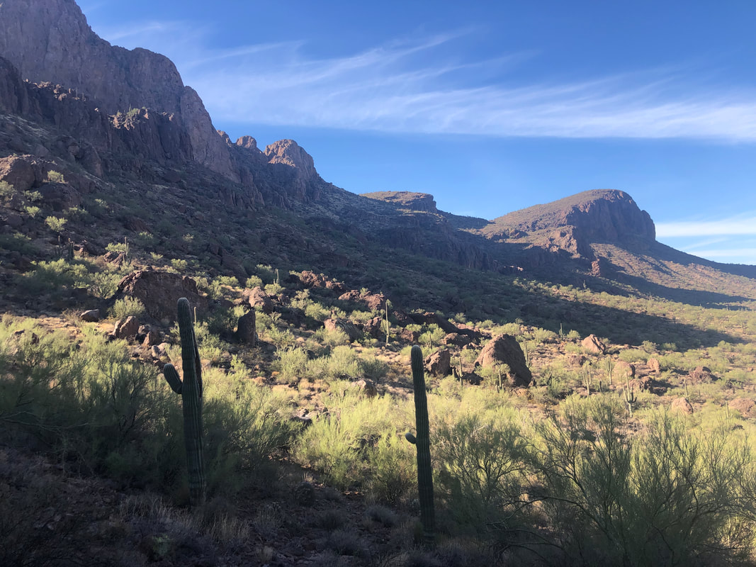
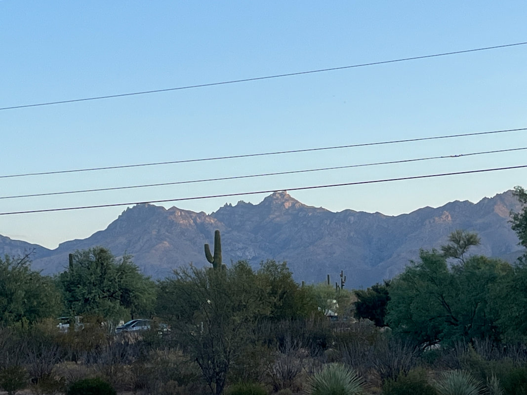
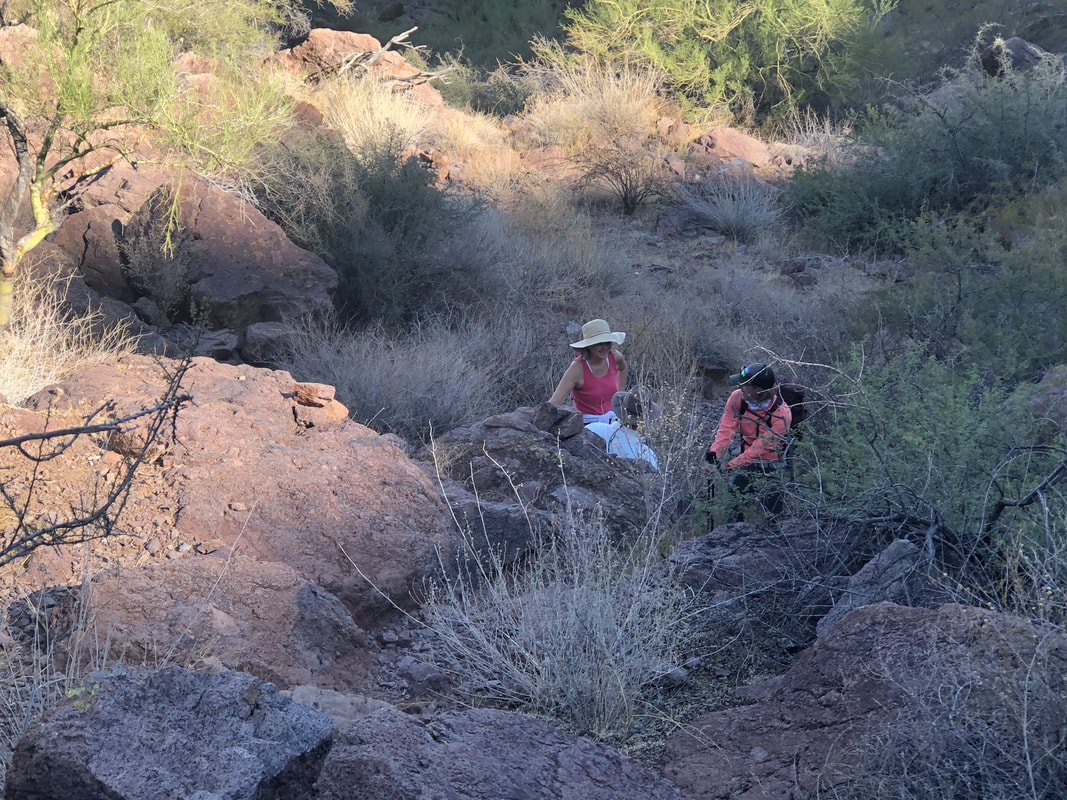
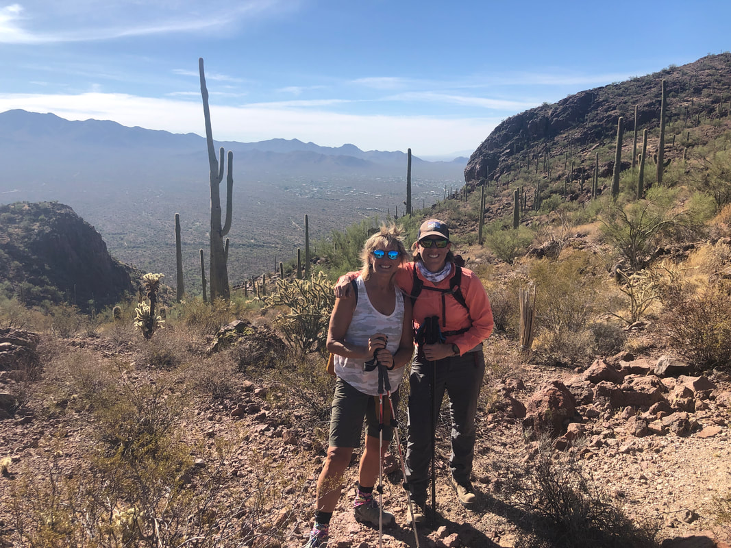
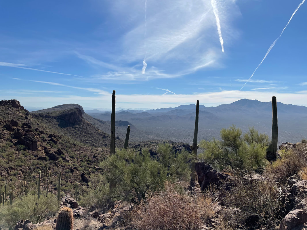
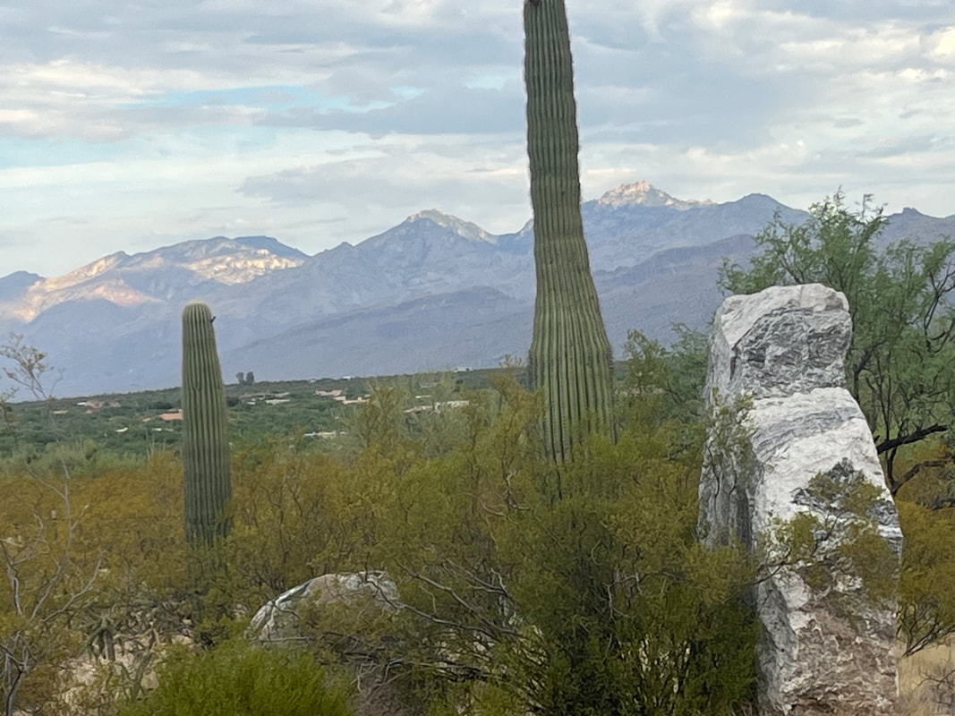
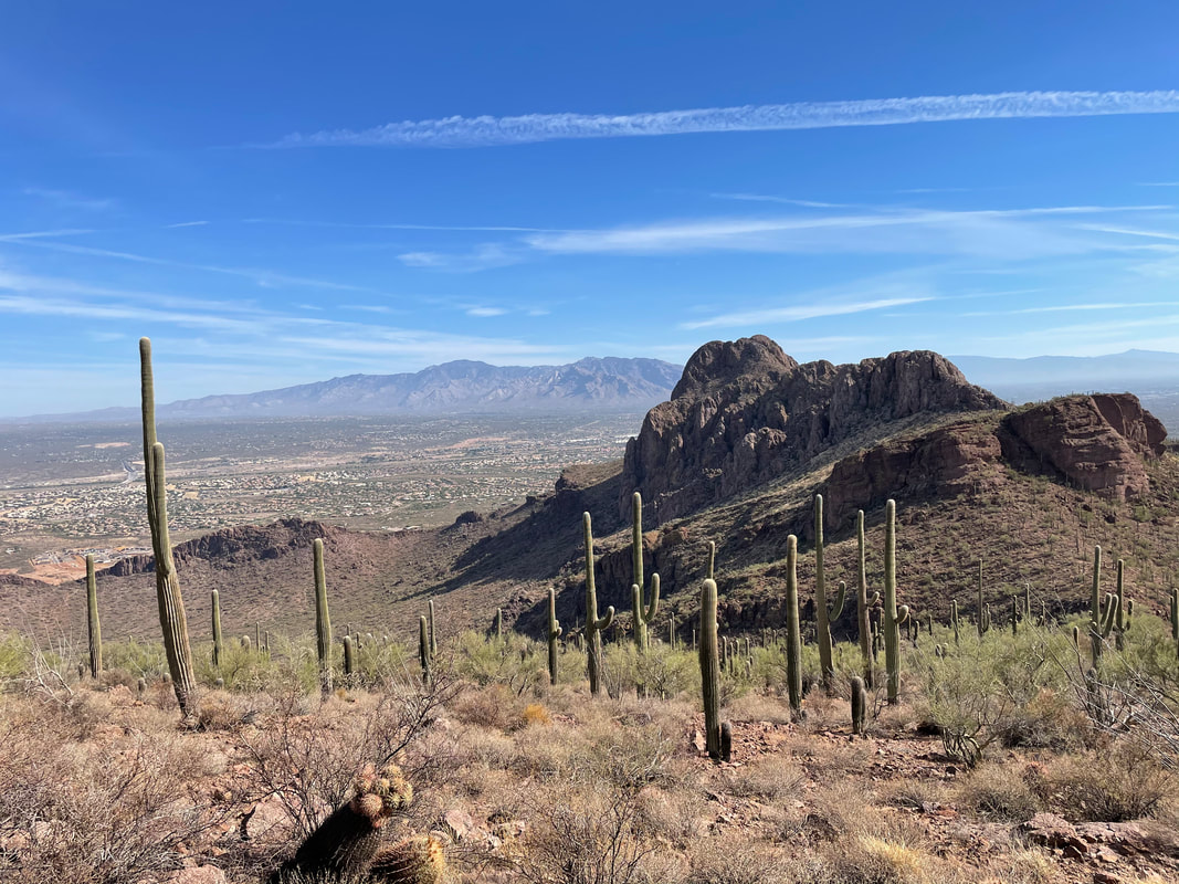
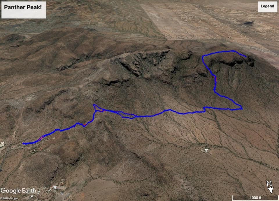
We arrive at Sanctuary Cove, an 80 acre preserve that borders Saguaro West National Park. Tracy, recently admitted to a SAR team, carries the same pack she would if on a search mission. It's rather heavy. We pause so everyone can get a look at the labyrinth then we take the preserve's main trail, ascend a steep slope and enter the Park. Only now, at a ridge, do we get a look at Panther Peak, there in the distance. Panther and its sister peak, Sombrero, are prominent features to the southwest of Oro Valley. We then descend a steep slope that is kind of treacherous with lots of loose gravel and rocks. No trail to follow, just head to the west of the White Stallion dude ranch where there is a fence and along it, a trail. I think the trail was put in by the ranch so guests can hike or ride it on horses. Another look at our destination. Doesn't look like much but it's a good hike with a fun ascent of a ravine. How about that? A horseshoe. I know to look for a cairn after about 1.6 miles from the parking lot and sure enough.... ....find it. Now we turn toward the peak and begin following a series of well placed cairns. The climb is gradual until it isn't. Then it becomes quite steep with fun bouldering up the final section. Two of our group are struggling and take a couple of breaks, which is fine. I was in my guide mode but I made a fluid mistake. I consider the distance, temperature and climbing and decide how many bottles to take so 2 for today's 5.5 mile hike. What I sometimes fail to do is consider the added time when leading a group who hike at a slower pace. At the last minute, I had added a 1/2 bottle to my pack. We gain on the saddle to the left of Panther and have enjoyed some hiking in the shade but the sun was gaining on us. Now we are in the steepest section. I'm leading the way when I'm told..... ....the two who had been struggling have decided to stop, for good. Since the hike is an out/back they urged us to continue and they sit and wait. Tracy, Amy and I continue and soon.... ....reach the aforementioned saddle. Great views to the south and west. Each of us felt a little guilty about leaving the other two behind. Knowing the next 1/2 mile to the peak was relatively easy to follow, I suggested they continue since they were first timers. I've visited the peak about 3 times so I would descend to the other two hikers, get them headed back and count on Tracy and Amy to overtake us before we reached the off trail ascent. to the first ridge we encountered coming out of the parking lot. I spend a few minutes, gawking and taking pictures. Once the ladies disappeared from view, I descended. The following images were taken by Amy.... ....as I am somewhere in the above image, watching them. Reaching the peak, they look back and can see Sombrero in the foreground, the Catalinas in the background. Meantime, I'm escorting my two hikers, taking an occasional break before reaching the end of the official trail and deciding to wait for Amy & Tracy to overtake. We sit on some comfortable boulders and wait and wait. Hmmmmm I'm running low on water and really glad I had that extra 1/2 bottle. The gals take their last picture, of a distant copper mine and head back. Where we are sitting, a slight ridge prevents us from seeing much more than a couple hundred yards. We begin to worry but both have gps devices to follow, both are experienced hikers so what could go wrong? Well, a fall or a snake bite but we'd know that when a helicopter came swooping in. Finally, we could see them approaching, let out a few whistles, regrouped, ascended the steep slope and returned to the parking lot. Above is our route, 5.5 miles and 1900' of climbing, well for two of our group. I had something a bit less but it was still a lot of fun.
0 Comments
Leave a Reply. |
Categories
All
Archives
November 2023
|
