|
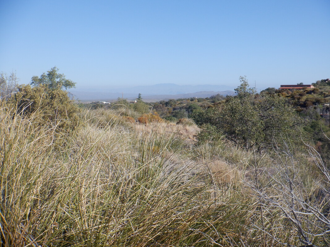
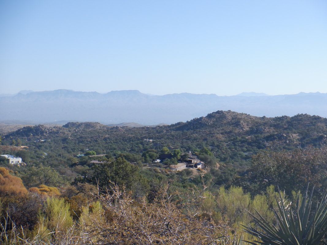
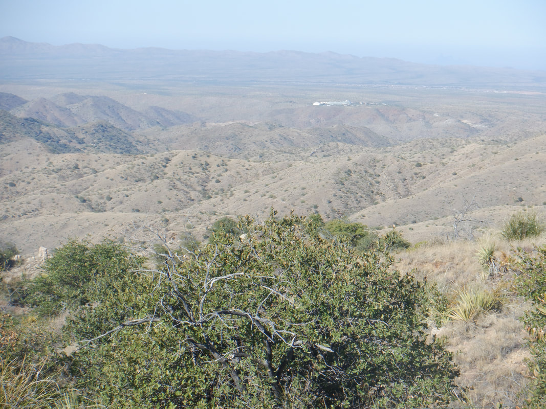
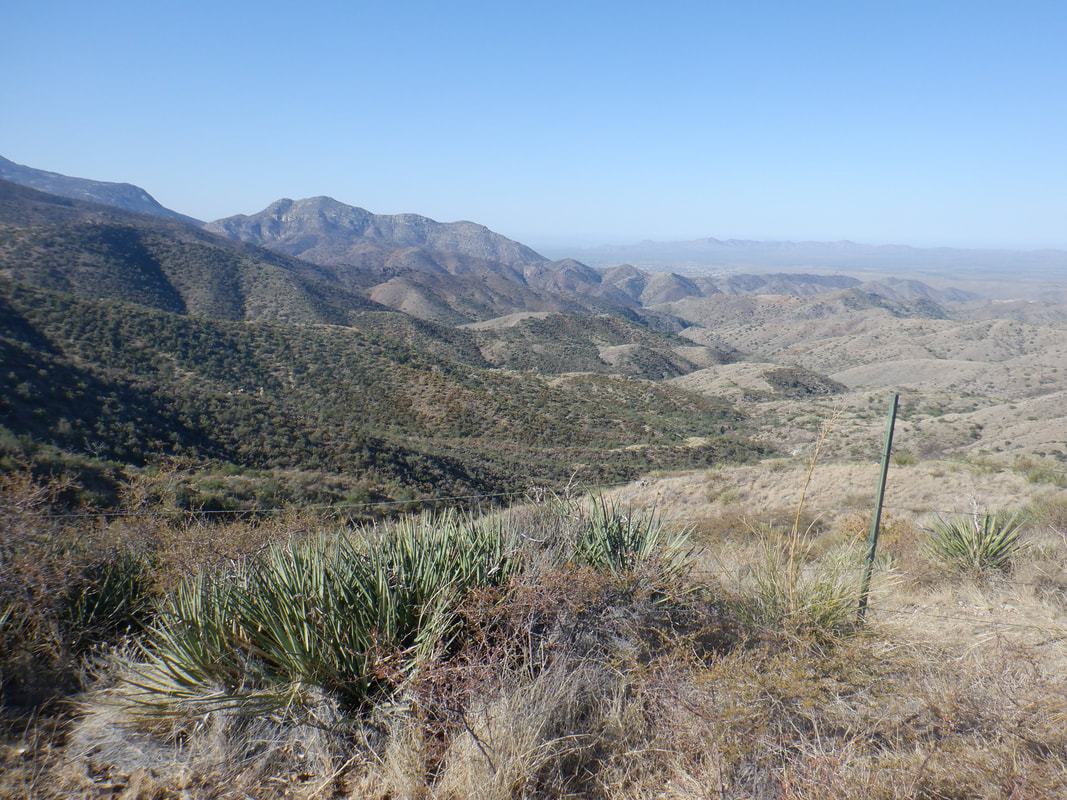
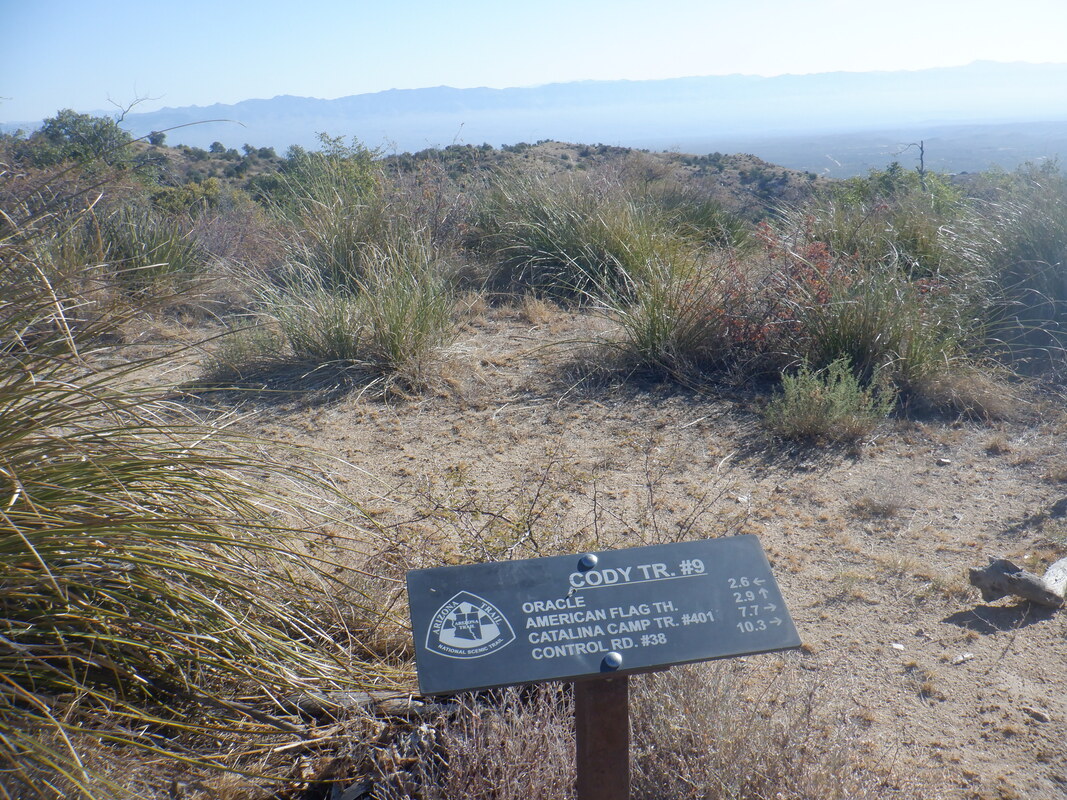
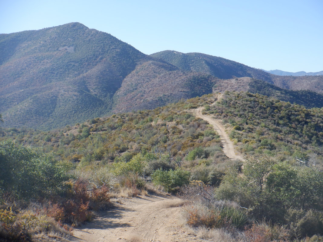
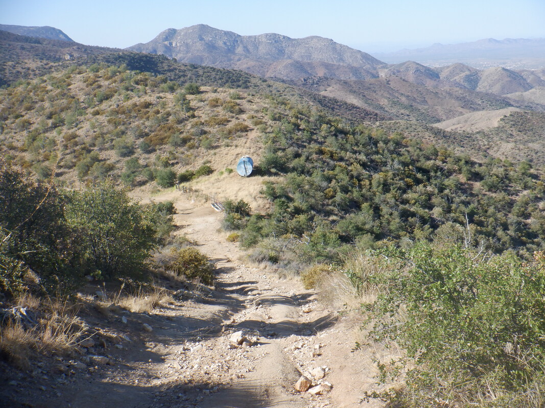
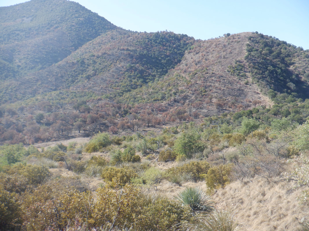
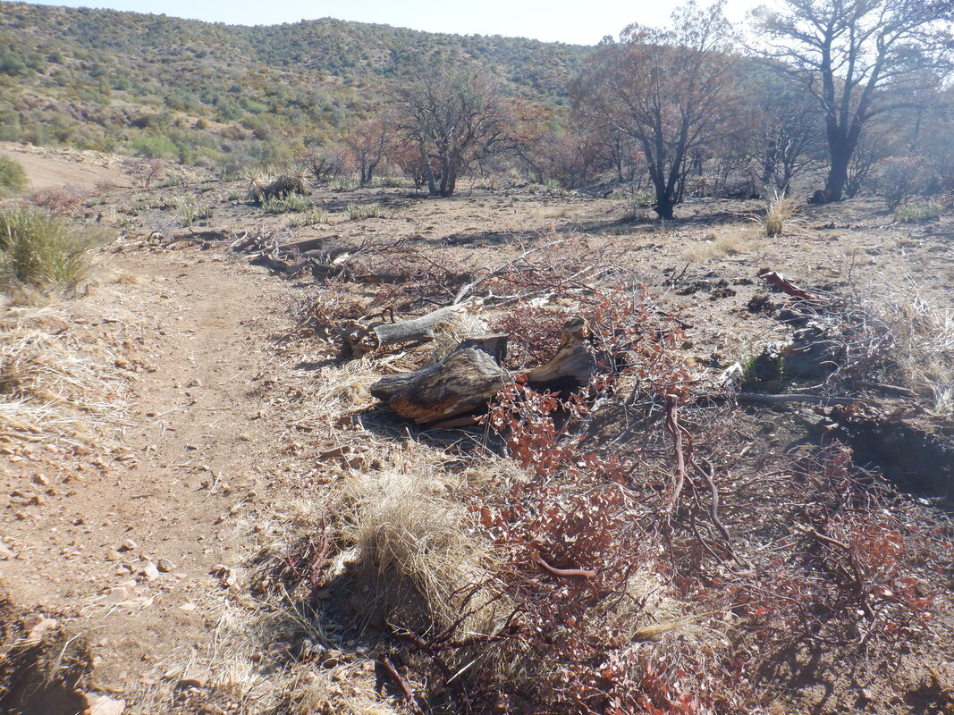
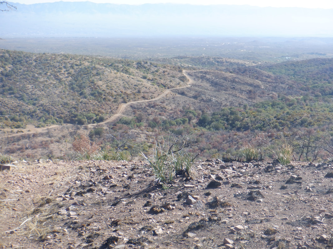
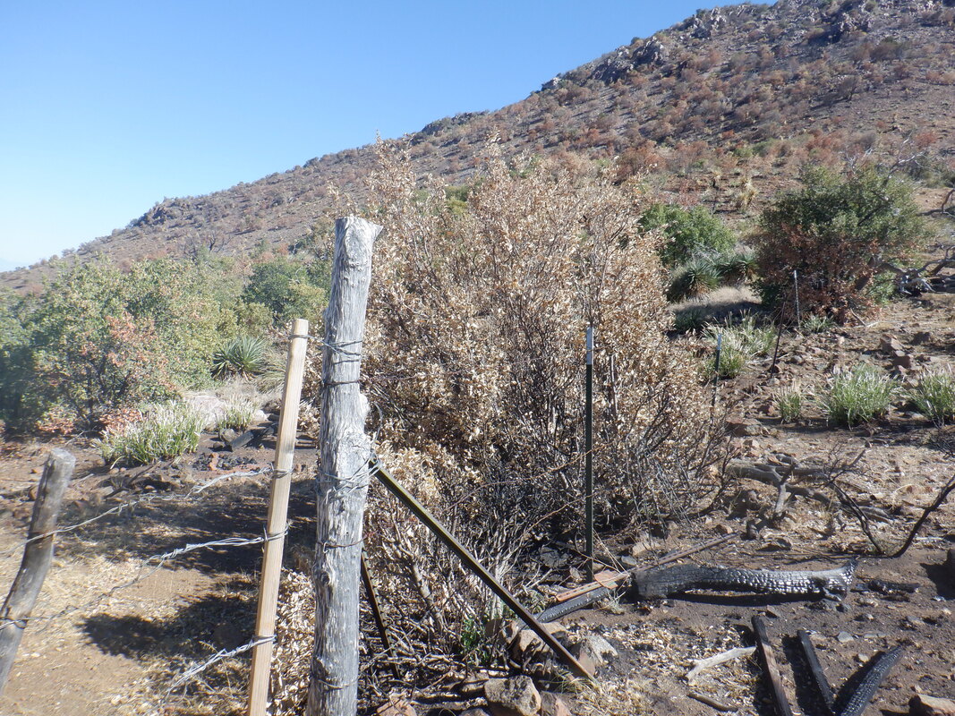
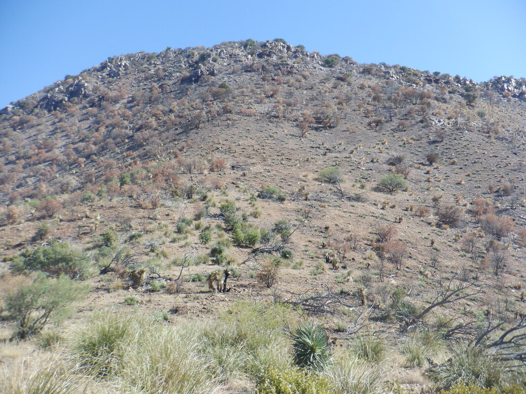
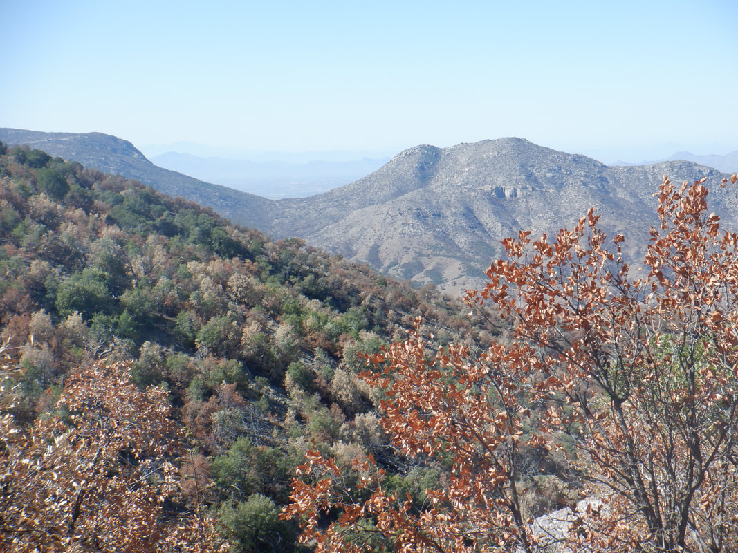
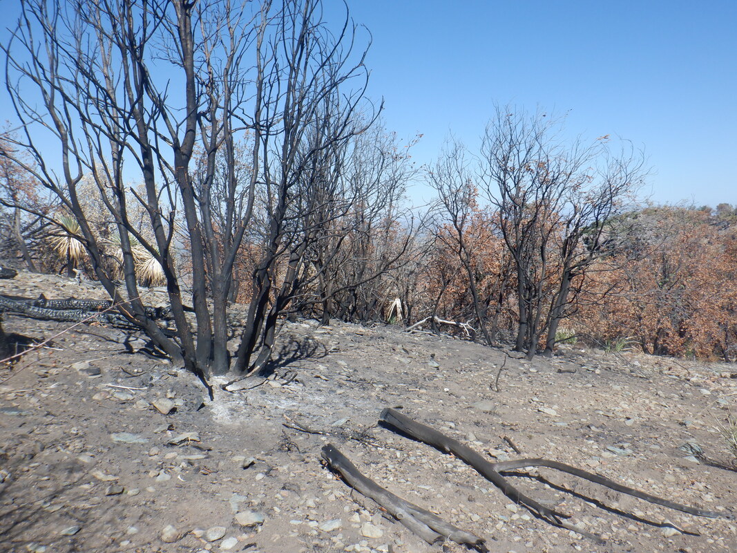
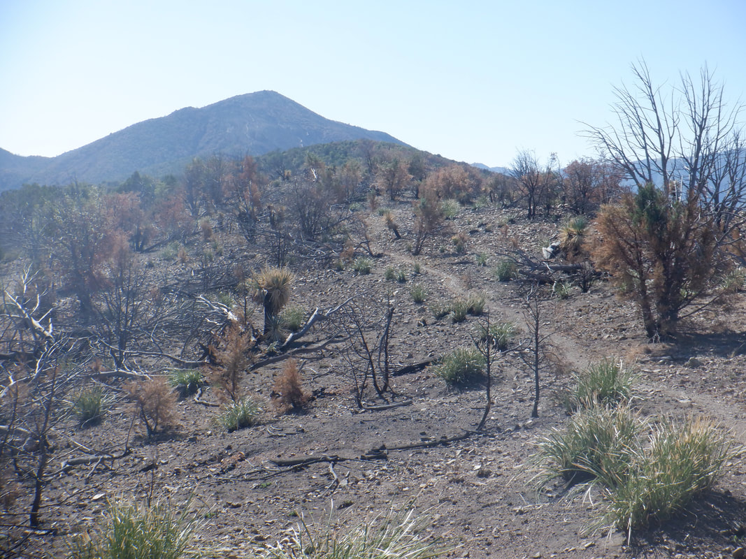
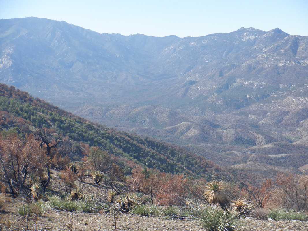
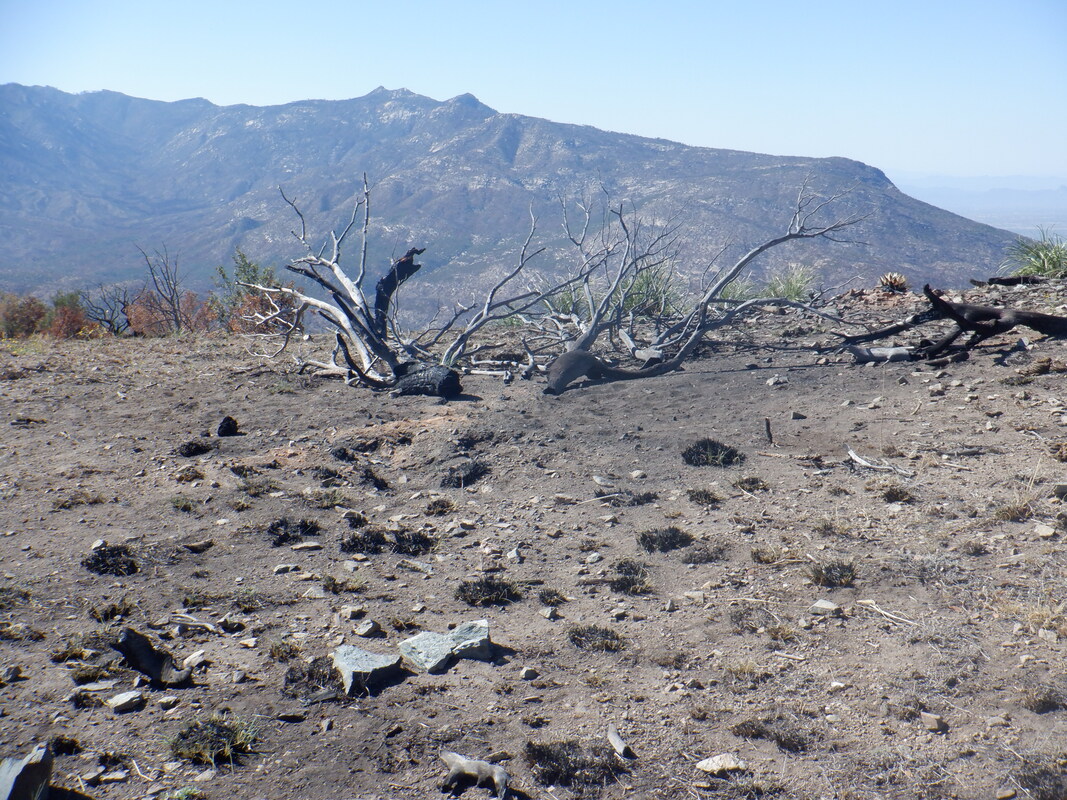
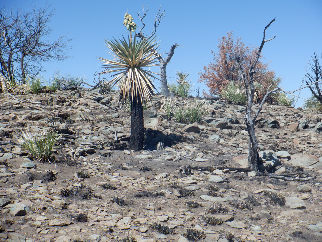
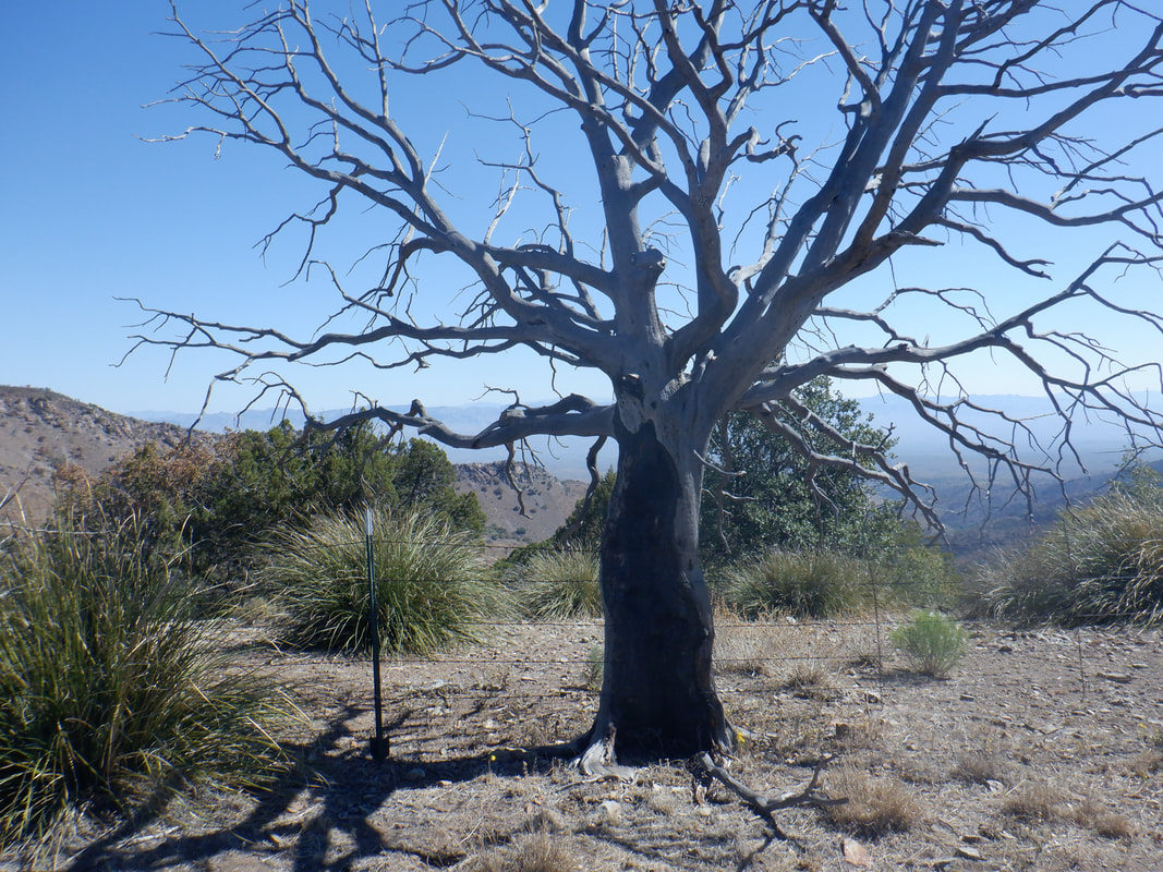
About 30 minutes from me and about 2000' higher is the small town of Oracle. With summer highs being what they were, that additional elevation isn't enough to offset the heat. Now, even though our temps remain unusually warm, it's a great place to start a hike and so I started on the Oracle Ridge Trail. It is believed that a couple by the name Sara and John Lemmon, hiked this route in the 1880's to the summit of the prominent mountain. Soon thereafter, John named the mountain in honor of his wife, thus Mount Lemmon acquired its name. There are multiple steep ramps during the first mile and elevation is quickly gained, delivering great views Hey! There's the Biosphere II in the distance. Oh gee. I stopped several times to admire the views and took many images. Previously, there had been no trail signage but at mile 2.6 came to this one. Ran into a group of 9 hikers who were doing a loop and had a nice chat with them. One guy said I was brave to be out here alone. Soon after they departed, I removed my M&P .380, as planned as the area is very remote. It makes a nice noise maker and I have practiced enough that I probably won't shoot myself. At times, the trail is a dirt road and other times a trail but always easy to follow. I had a gps on my phone as a backup should I need it but I never had to reference it. In the distance, Apache Peak. The trail would climb much of it before going counterclockwise around it. There was a very nice water tank that had so much water some of it was seeping down hill. I thought that odd considering the lack of rain this year. Would be great to have a wildlife camera here to see all that come for a drink. Soon thereafter, I arrived at the beginning of the burn area, clearly shown in the above image. When watching the Bighorn fire blaze from a distance, this summer, it appeared all was engulfed in flames but there are many areas that were spared, apparently there not being sufficient fuel for the fire. Brush had been cleared in places to create a fire break. A couple of times, forest service roads merged with the trail but to me, it was always obvious how to proceed. I worked my way around Apache Peak and tossed through a couple of gates, being careful to always close them behind me. There was evidence of cattle grazing and would not want them to exploit an open gate. I looked carefully for a cairn or something to mark a route to Apache Peak but did not find one. Being in the burn area, I should turn around and soon did as I was not going to make it to my original destination of Rice Peak. I was kind of mesmerized by the views and kept wanting to see what was around the next turn or rise. The burn damage wasn't all that bad and it appears this area will quickly recover although the above image suggests otherwise. Rice Peak in the distance but I had turned around, spitting the bit on today's destination. Wow. Mount Lemmon in the distance. Another. Note the seed pods on the above plant. Rain, great fertilizer and seeds. Next year it will look much different. A long dead tree stands beside the trail has I return, finishing with 10 miles and 2400' of climbing. Great hike, great views. And now it's to Sedona for an epic. More to come, soon.
0 Comments
Leave a Reply. |
Categories
All
Archives
November 2023
|
