|
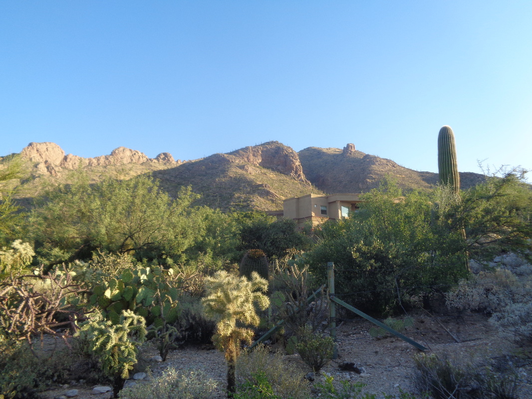
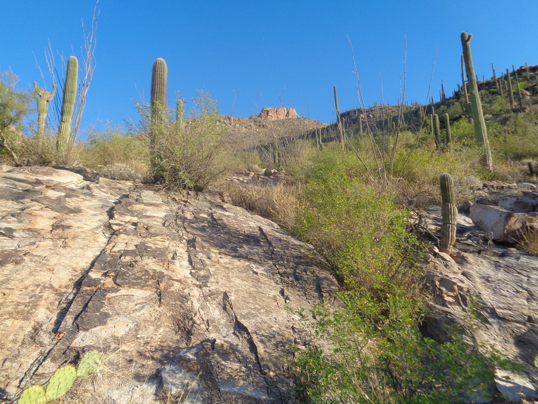
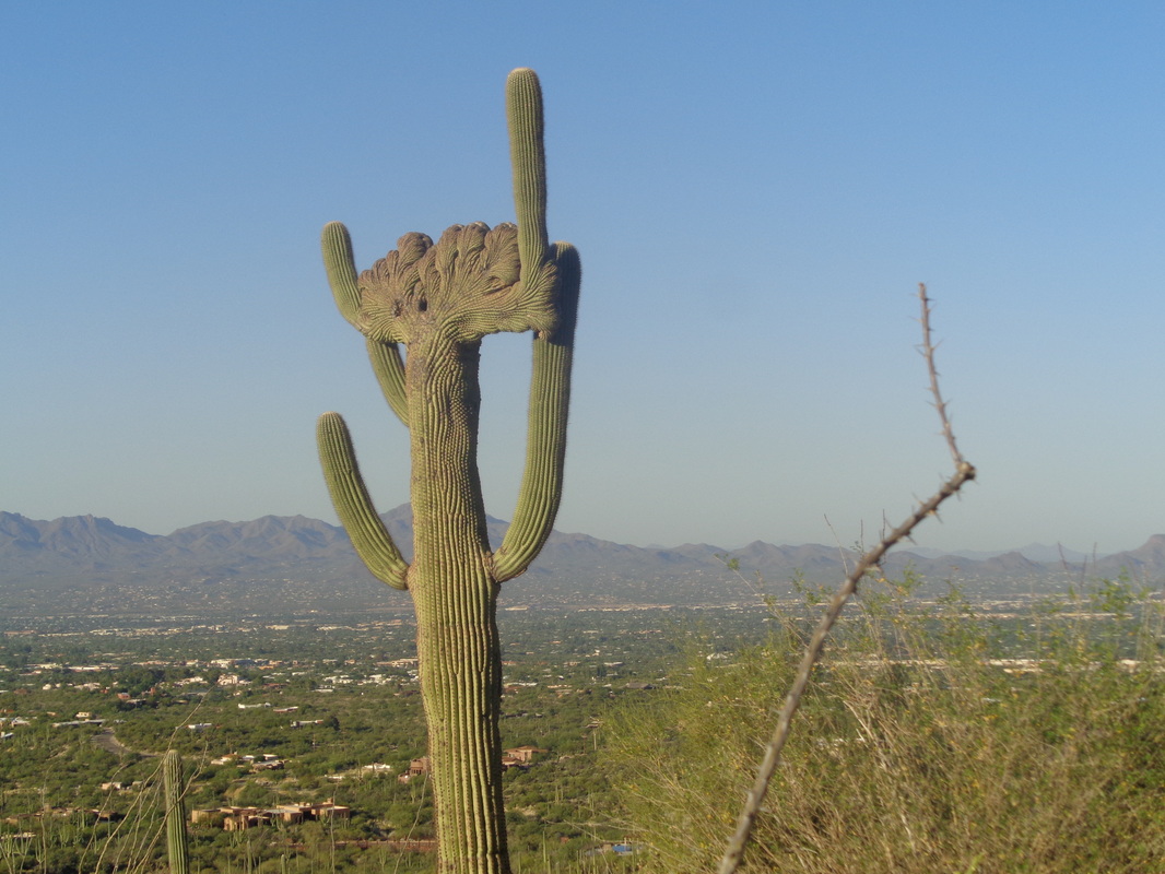
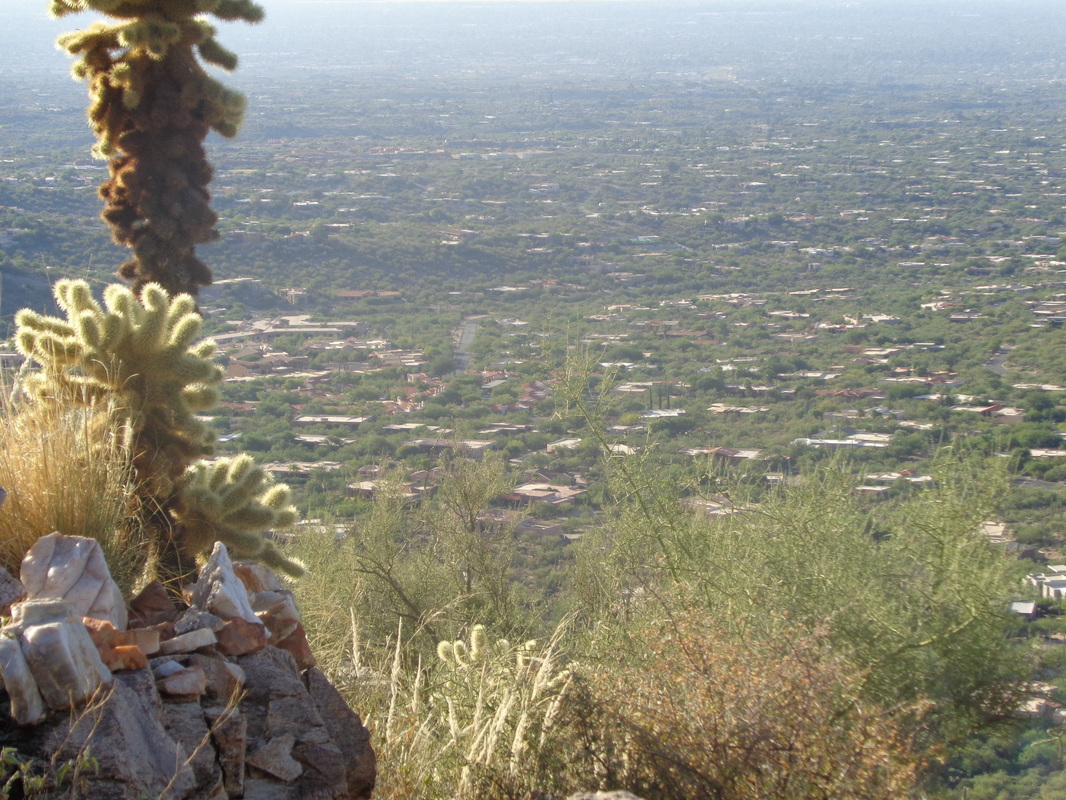
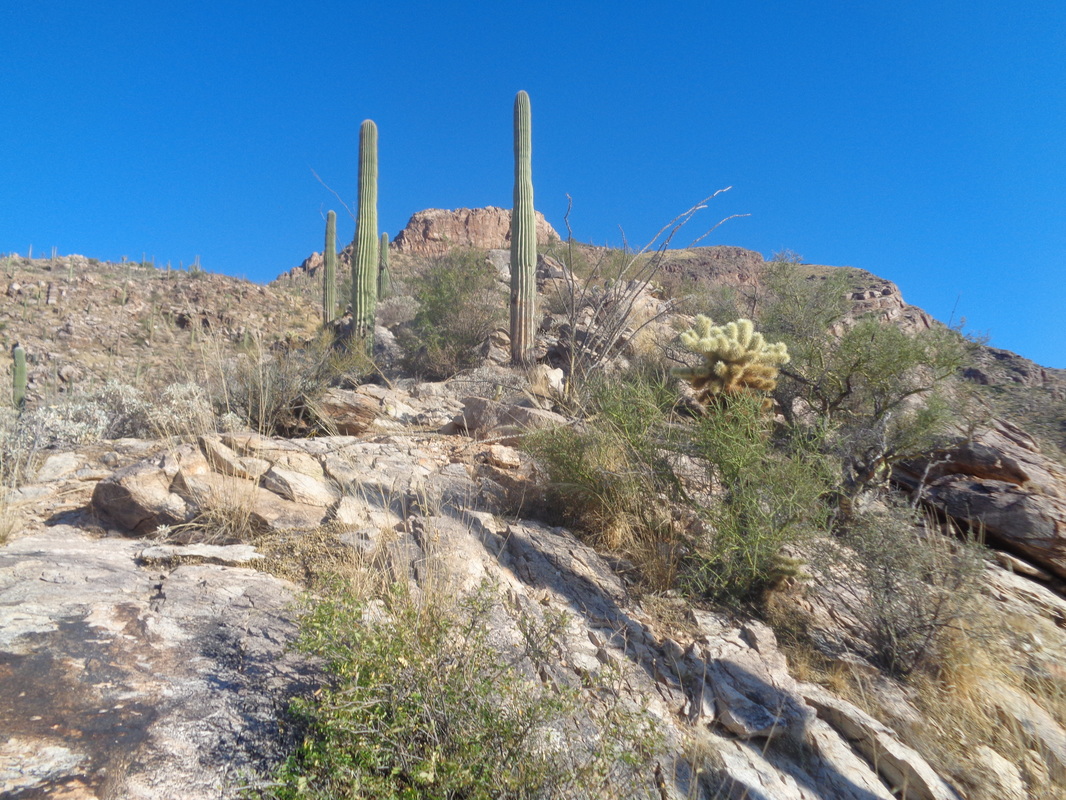
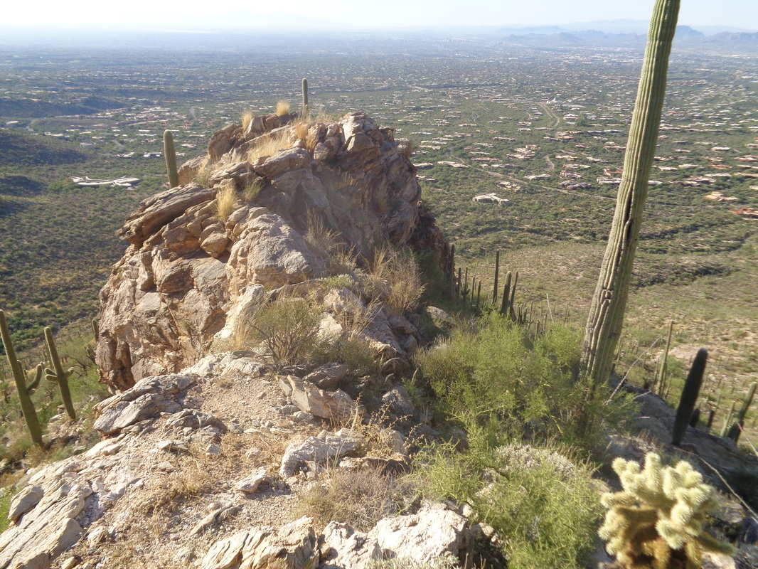
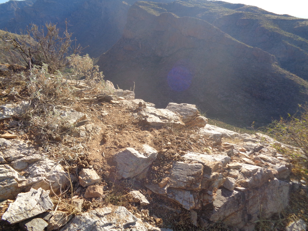
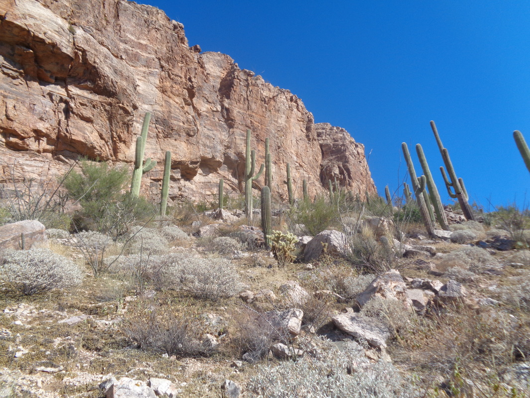
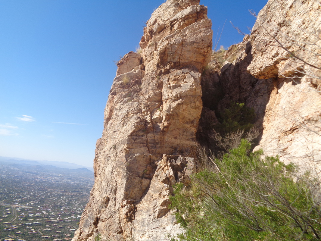
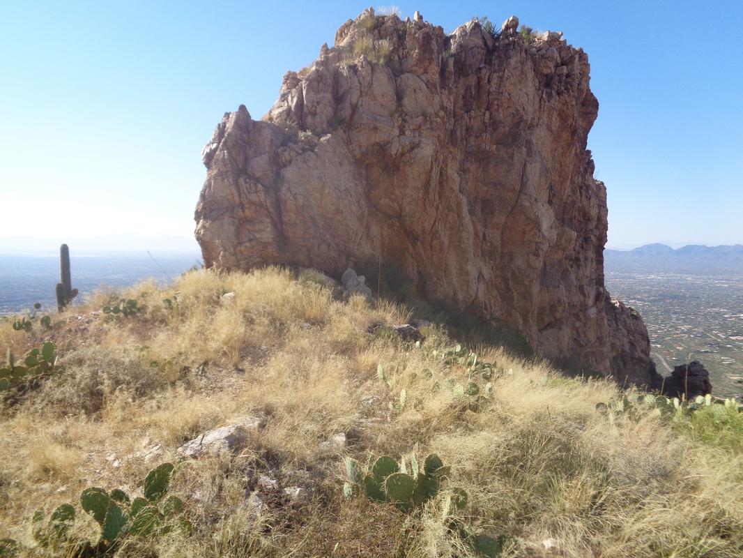
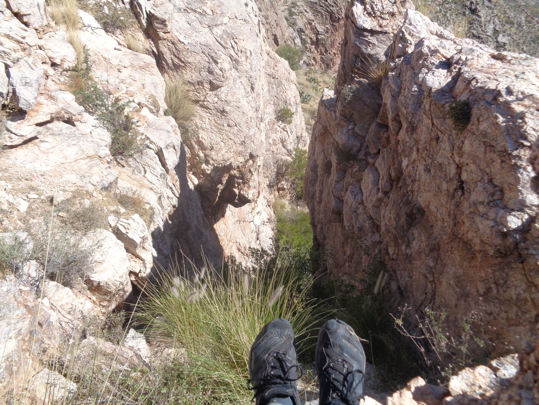
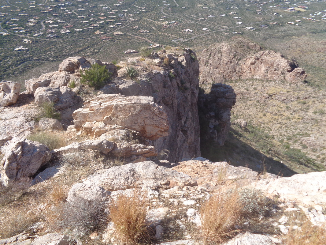
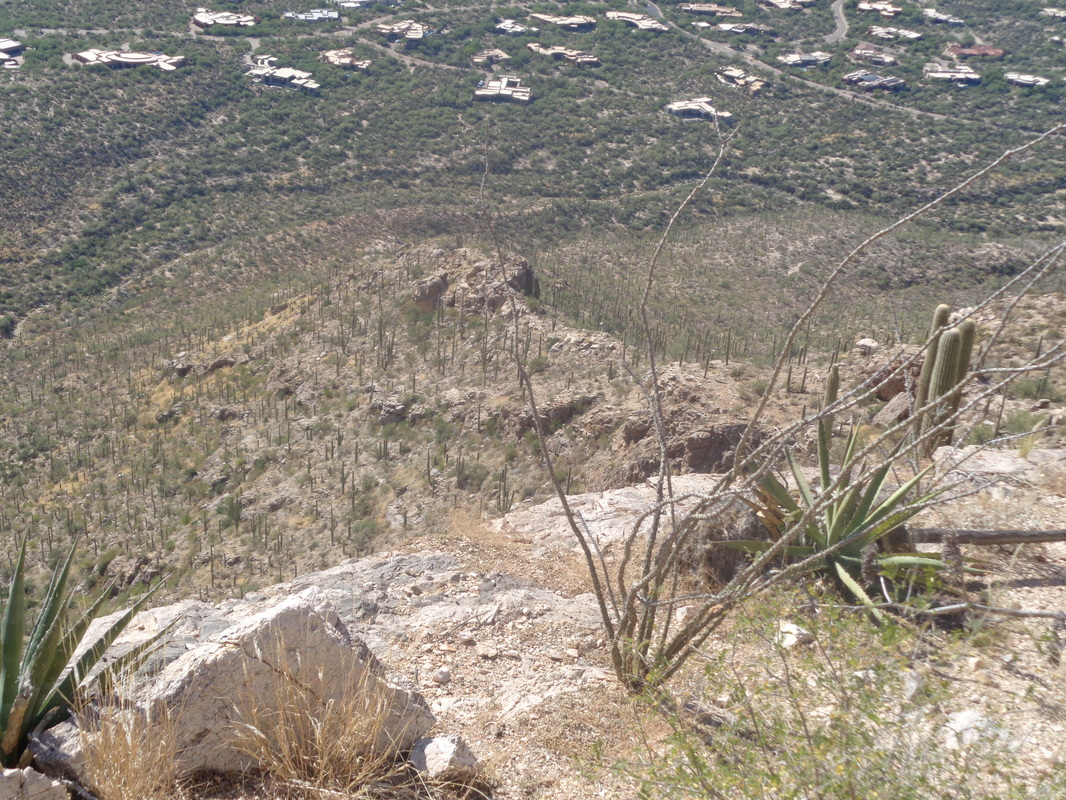
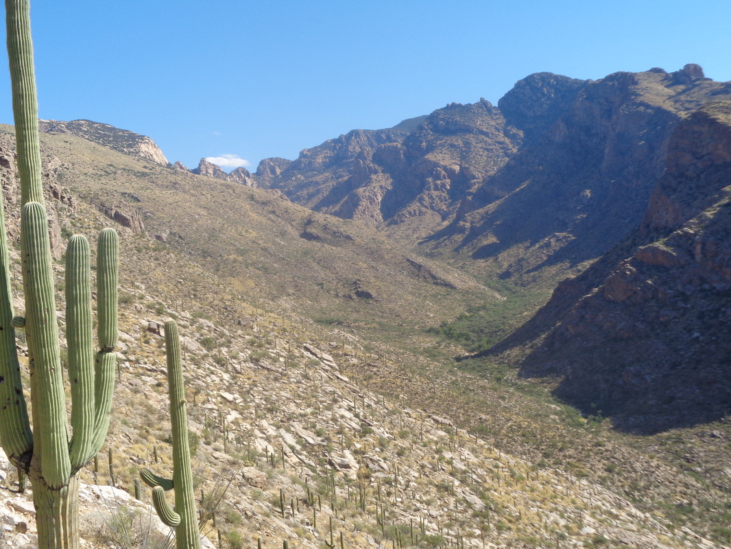
Another beautiful fall day with calm winds, sun and a forecast high of 92. Today's destination, slightly right of center that thimble shaped thing. This is also the way to reach Pusch Peak from the southeast but I did not want to go that far today. At about mile .55, following the Pima County Trail, I reach this slab and head toward a ridge to the right of the spine. This is off trail so I proceed slowly, always watching where I place my feet to avoid you know what. There are a few cairns but it is best to ignore them, just strike out for that ridge. How about that? A rare crested saguaro. I have read they number about 1 for every 200,000 saguaros. Check out that blue sky and the Tucson mountain range in the distance. A large pile of quartz and other rocks I took to signal this meant to go straight up to the ridge and so I do. For those who find this page in search of info about this hike or the off trail way to Pusch Peak, just stay on the ridge. If you dip below it to the right you'll fall into Pima Canyon and to the left, it is very brushy. Now, true..... ....the ridge gets a bit narrow in places but nothing that can not be navigated unless you are a complete klutz. Being a borderline klutz, I am very careful. Whoaaaaaa. At this ledge, there are copious quantities of animal droppings, the type of which I have not previously seen. Must be bobcat or mountain lion. Oh great. As I rise, am I herding a herd of lions? Of course not but still, made me wonder. As I approach the right side of the spine, the scree is thick and with the steepness of the slope, difficult to climb. Note, there is no access to the spine or Pusch Peak by going to the left side, work your way to the right. As I reached the base of the spine I discovered...... ....how about that, a chute that may provide access to the top of the spine. The image makes it look so easy but it was at least 40' and steep. Dare I climb that.....probably I have driven a herd of bobcats to the top of it so I proceed to the back of the spine and walk a bit farther..... ....where looking back, the spine looks so insignificant. I hate that about images. I walk back to that chute and..... ....climb it to the top. Exciting to be honest. It's a long and kind of...... ....broad area but clearly, the other end provides no access. Also no critters. I hang around taking lot of pics, carefully descend the steep chute and.... ....begin the descent via the ridge. The forecast called for the possibility of afternoon showers in the mountains and it did seem a lot more humid and sure enough..... ....the cloud began to form but doesn't look like there is much precip in that lone white cloud. After departing the trailhead, there is that half mile to where you depart the trail and then one mile to the spine with a total elevation gain of 1200'. Fun hike.
1 Comment
Cindy
10/25/2016 05:52:32 am
I can see how ominous that lone cloud looked. We in Ohio feel badly for you.
Reply
Leave a Reply. |
Categories
All
Archives
November 2023
|
