|
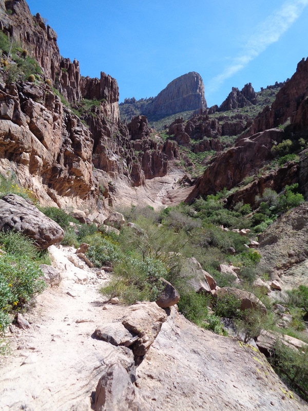
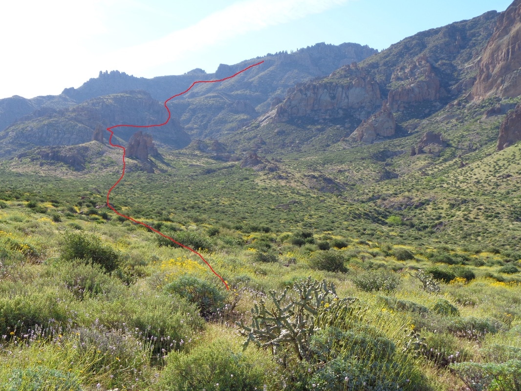
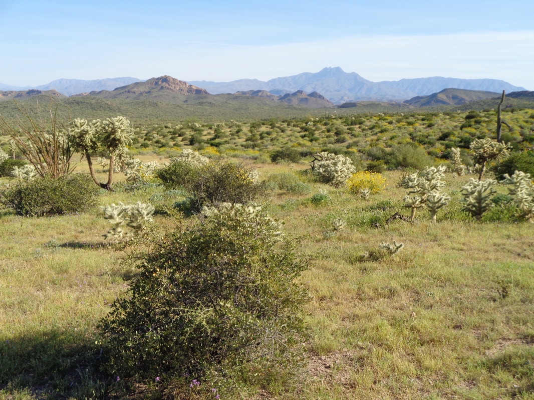
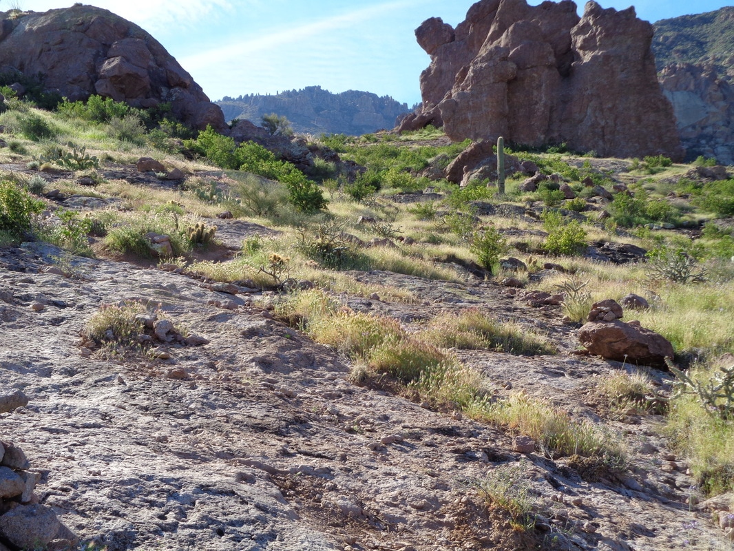
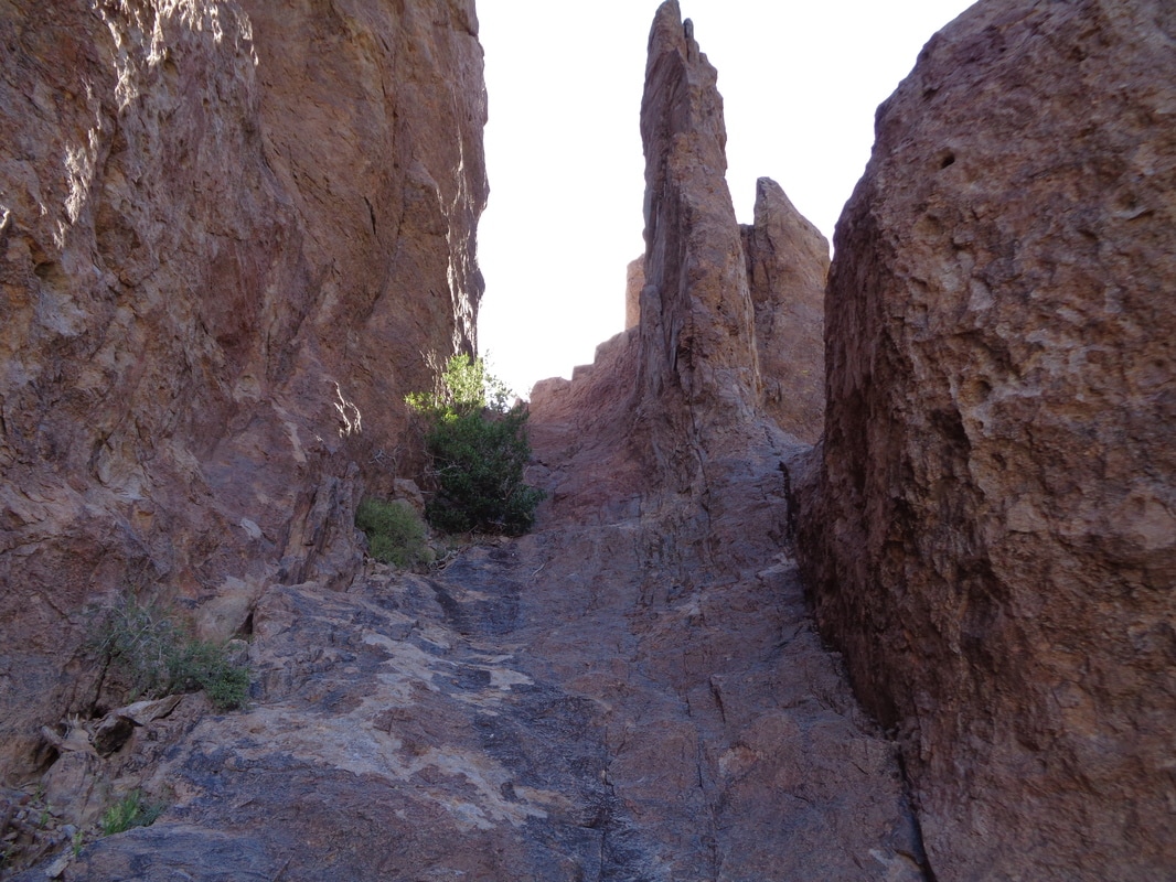
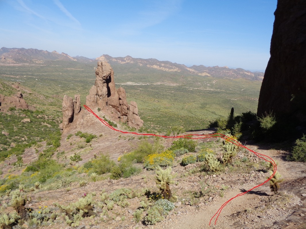
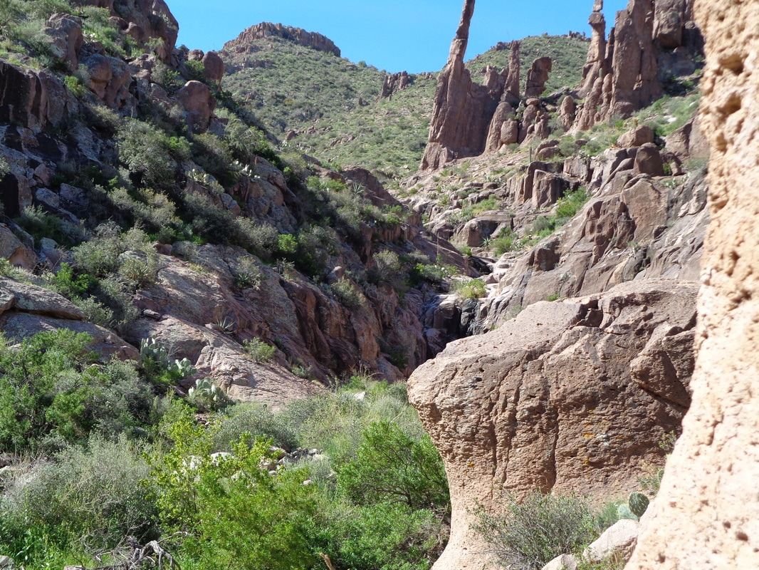
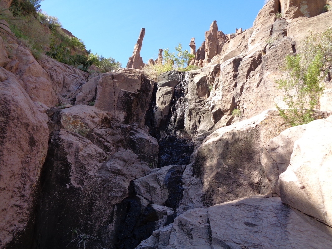
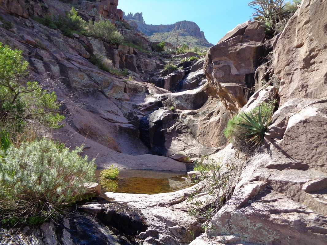
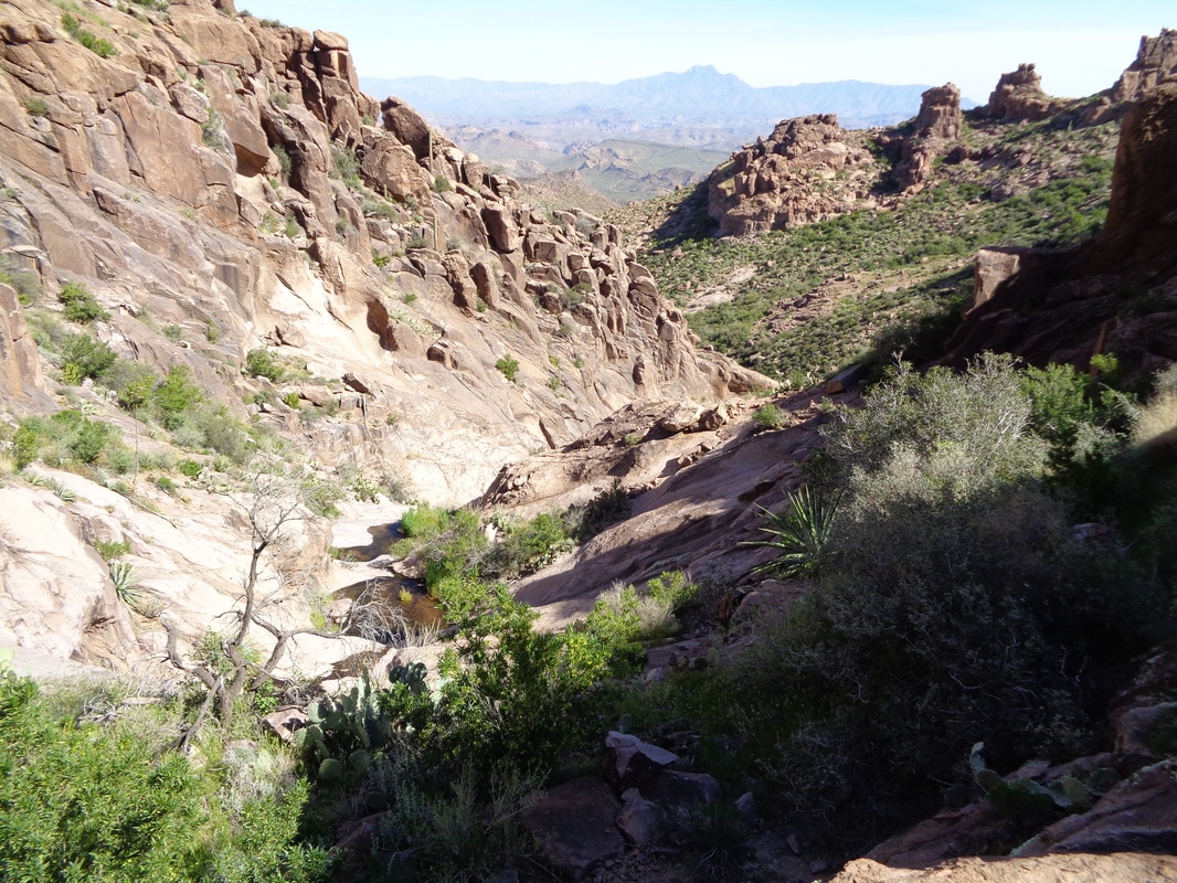
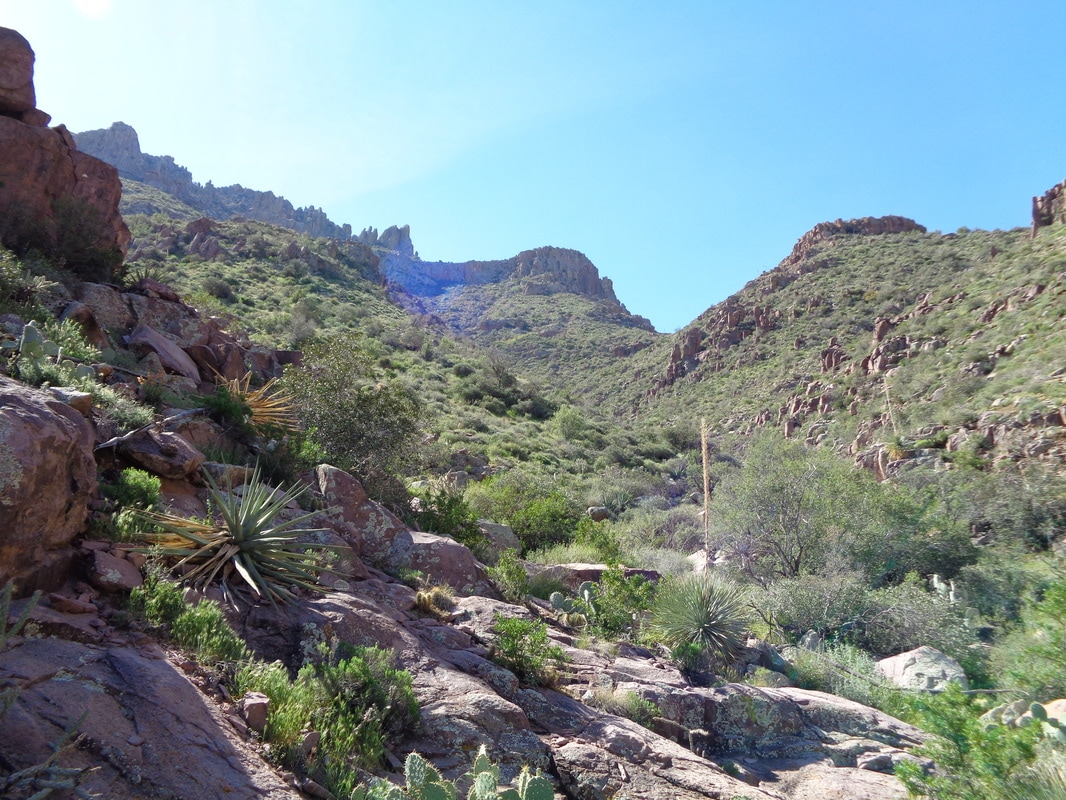
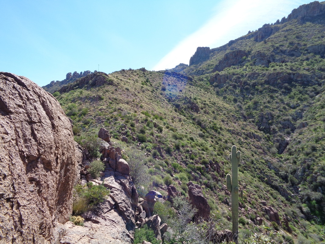
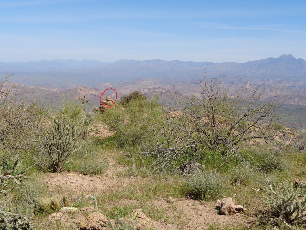
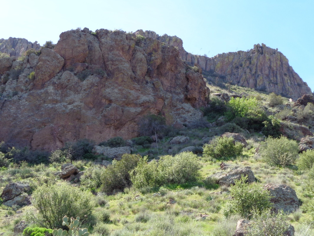
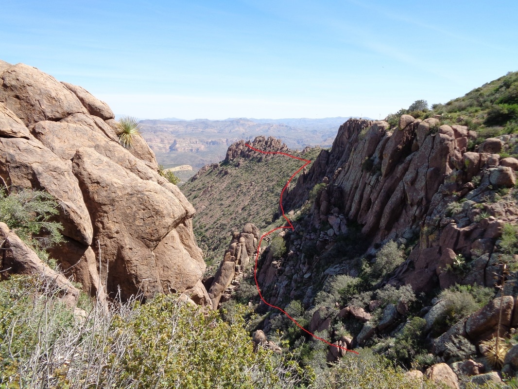
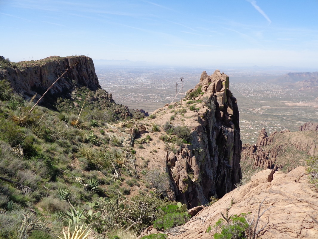
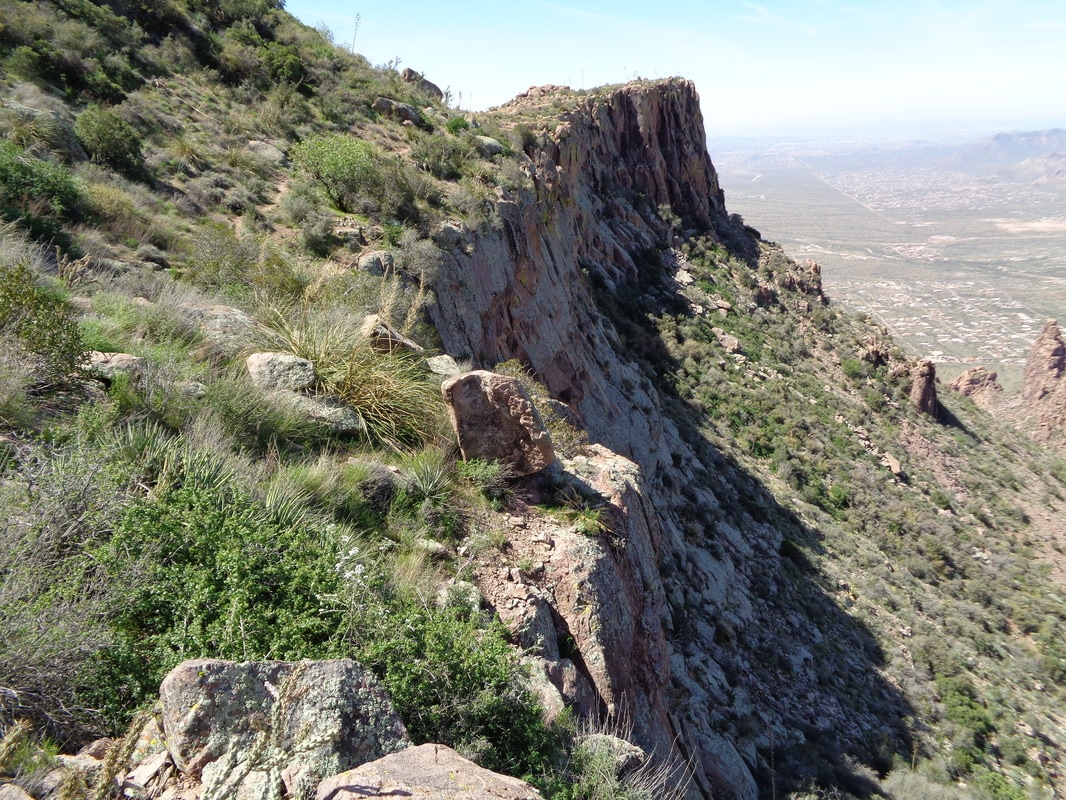
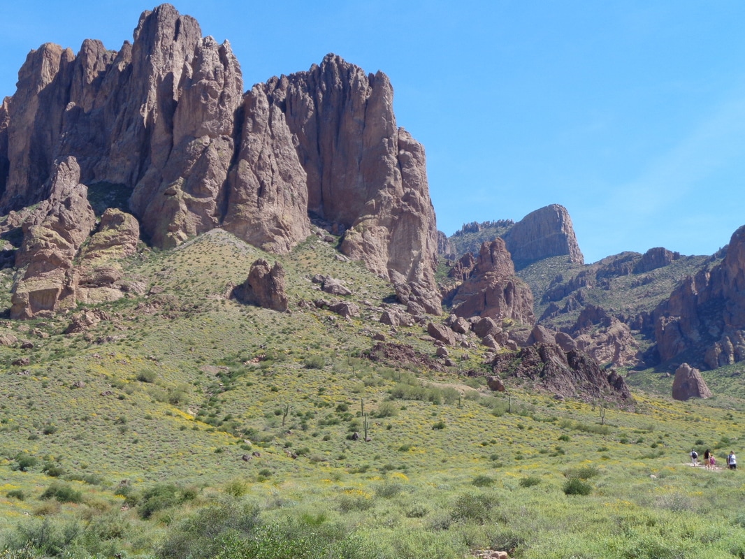
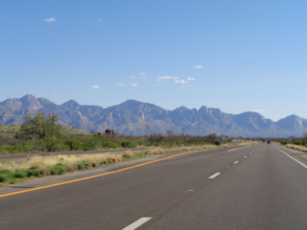
Not this time, not the usual way to the marvelous Flat Iron and above it Peak 5024, a hike I have completed probably 10 times. A real classic and each day dozens of people drive from Phoenix to attempt it. No, this time..... .....having heard of a "back way" an off trail way, I downloaded a gpx file and headed to a dirt road and shortly, the trail head. Above, in red, I show the rough route I followed. The first couple of miles is via a trail to the "Canyon of the Waterfalls" but above that...wow. The Sonoran desert is alive with a carpet of green and many wild flowers in bloom. In the distance, "4 Peaks" mountain. Soon I arrive at this slick rock section and the way to go is just left of the obstruction on the right but... ...why do the easy way when up the middle of that right rock is this cool climb. Just enough hand holds that a dork from Ohio can make it! Through the channel I climbed and then ascended some more. I think that the Goldfield Mountains in the distance. I continued to follow the trail and then upon hitting a rock face, looked around it and.... ...the Canyon of the Waterfalls. Such a cool place. One of many obstacles to navigate through. Is that hoodoo giving me a big "F You" from the mountain? At times, later it seemed like it. Now I was in uncharted territory. Probably looks like you could climb straight up but not a chance. However. there was a way high to the right. If I fell here, they would not find my cell phone, or me, for many days. Looking back from where I had come, wow. Having gotten through the waterfall section, I had no idea what was Peak 5024 & the Flat Iron but the gpx route indicated I should go left. This became hard to believe when I climbed into a hoodoo, rock slab area that thwarted my progress. I kept running into dead ends, house sized boulders but eventually..... ...I sprang free into the open!!! How about that? A ridge ahead. Just then, I found a cairn (circled in red) to indicate I was on a previously traveled route and was that a boost of confidence. I wasn't lost after al!!! Then I headed toward the obstacle in the middle, bore right around it and higher, always freakin higher. I regret not taking images of my way slogging through that hoodoo section (above in the middle) but then I would have been disappointed by the inadequacy of it. Looking back, I also wondered why the route did not circle around that but probably there was a cliff out or something. At last, I reach the top. Now I head counterclockwise, skirting the above wall. After awhile and having decided I was not going to slog my way back the way I had come, I found the Flat Iron trail, descend it and... ....find the "Jacob's Crosscut Trail" that will take me around the edge of the Superstitions and back to the parking lot. Finished with 9 miles, quite rugged and then.... ....enjoyed the drive home. Above, closing on the Catalinas. Hot day, 93 degrees and I had used almost all of my fluids.
0 Comments
Leave a Reply. |
Categories
All
Archives
November 2023
|
