|
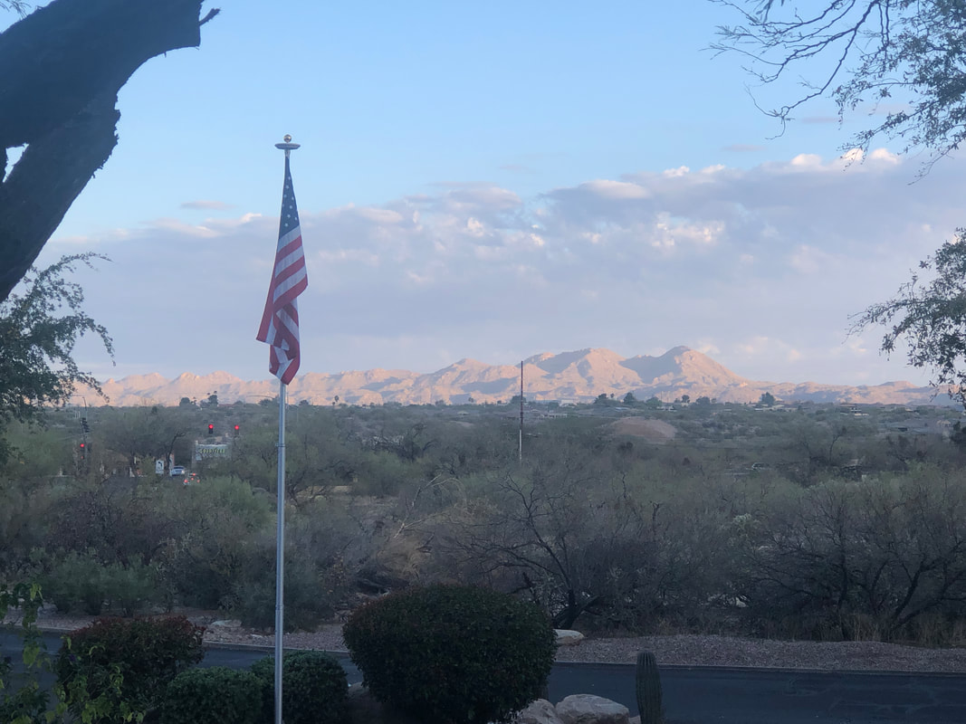
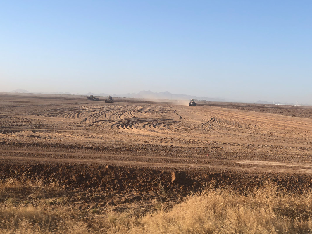
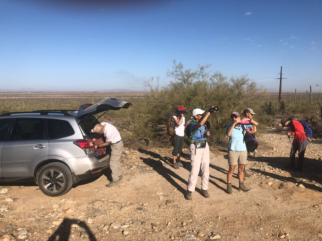
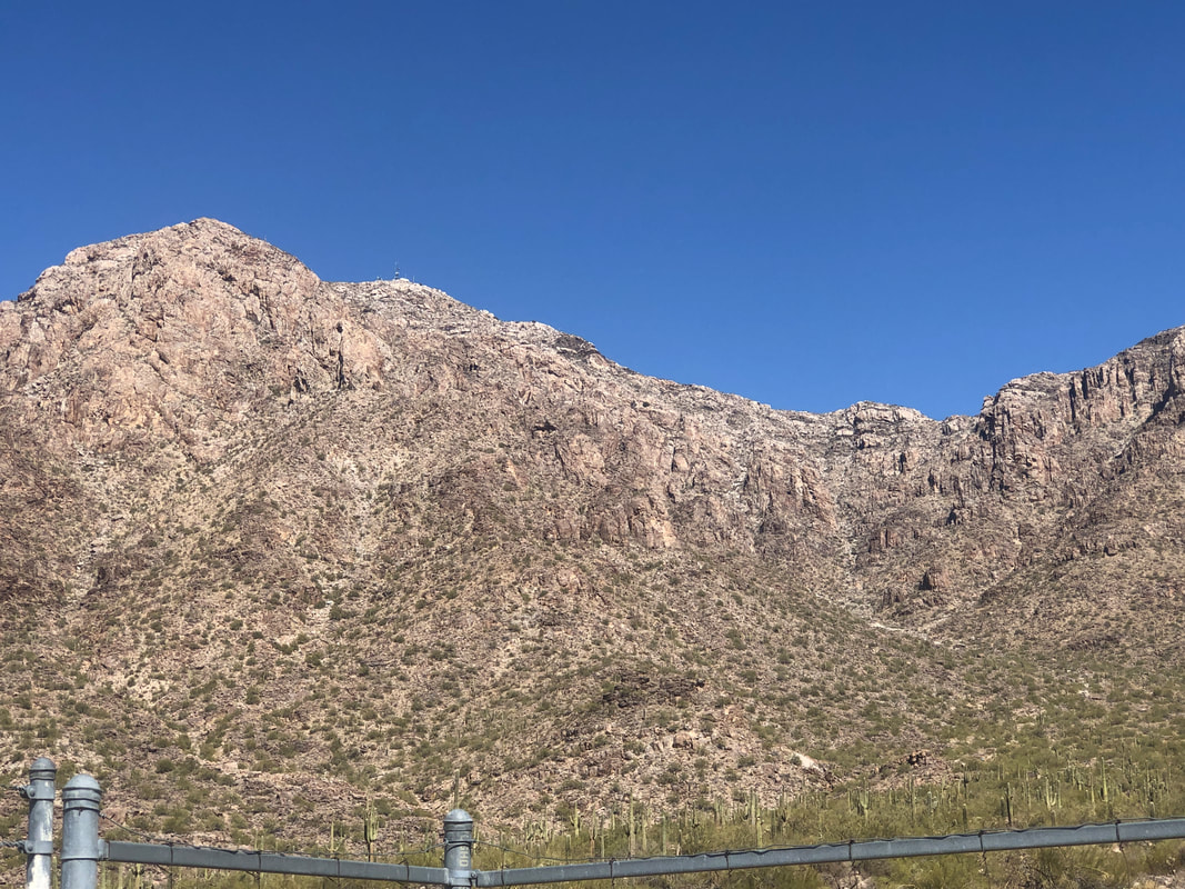
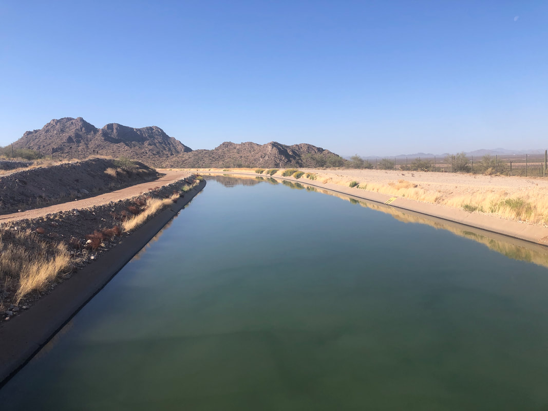
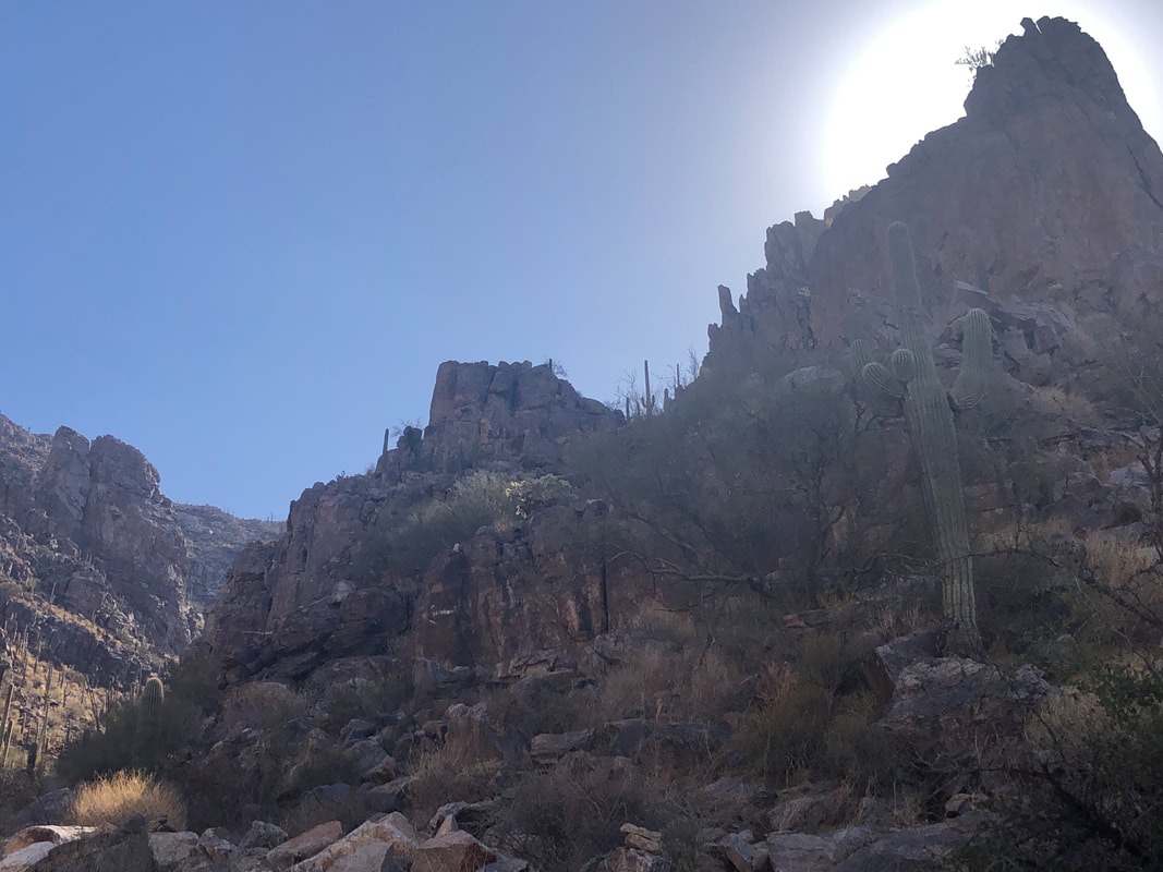
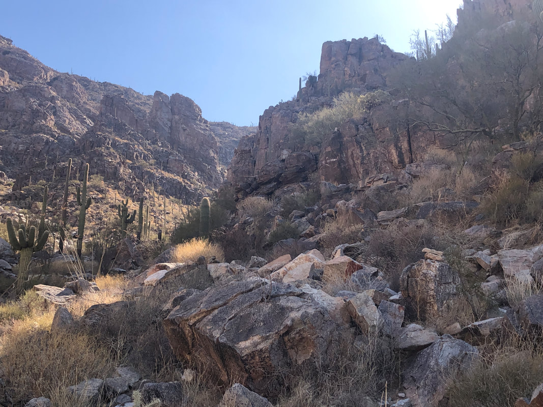
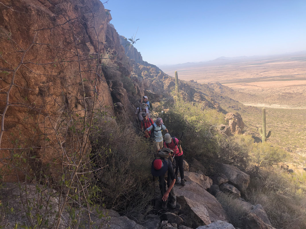
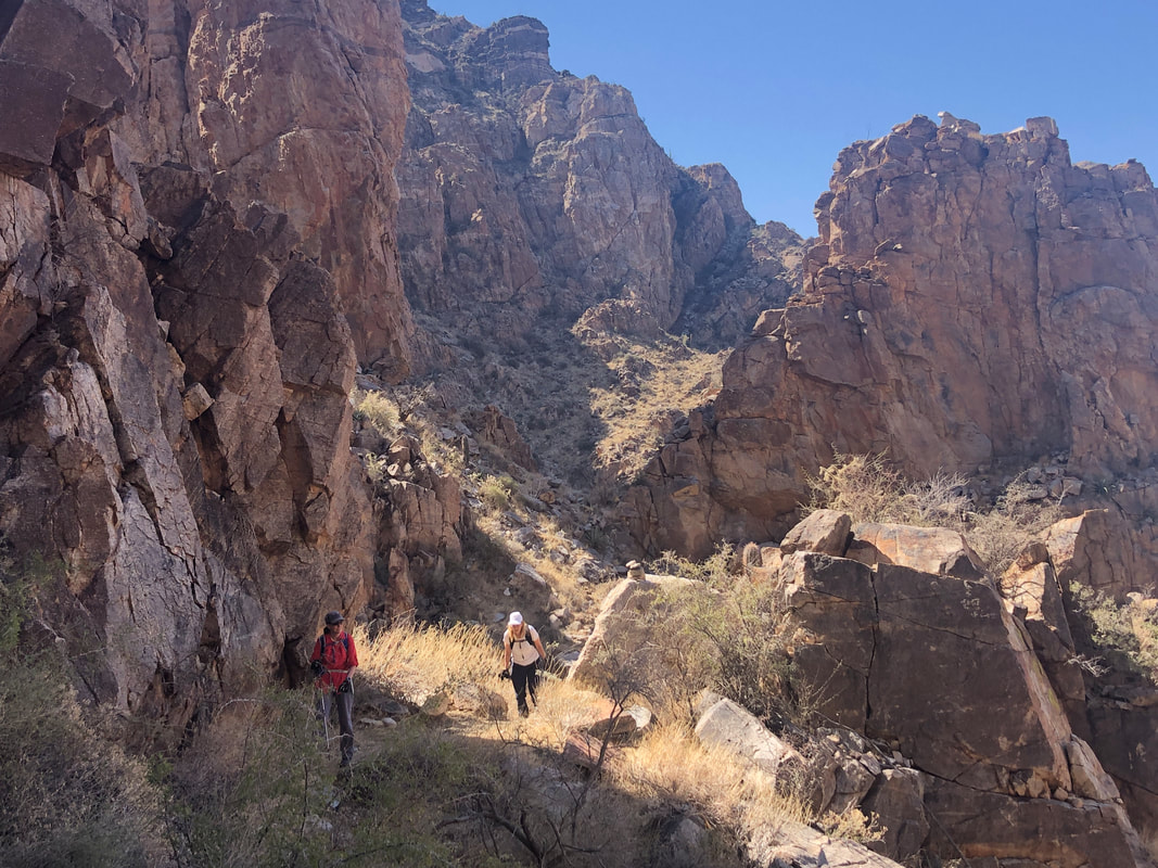
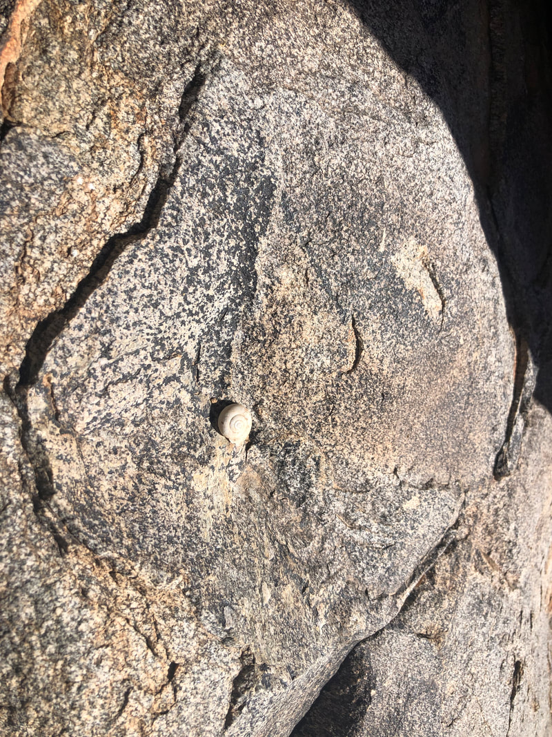
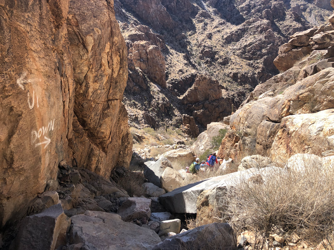
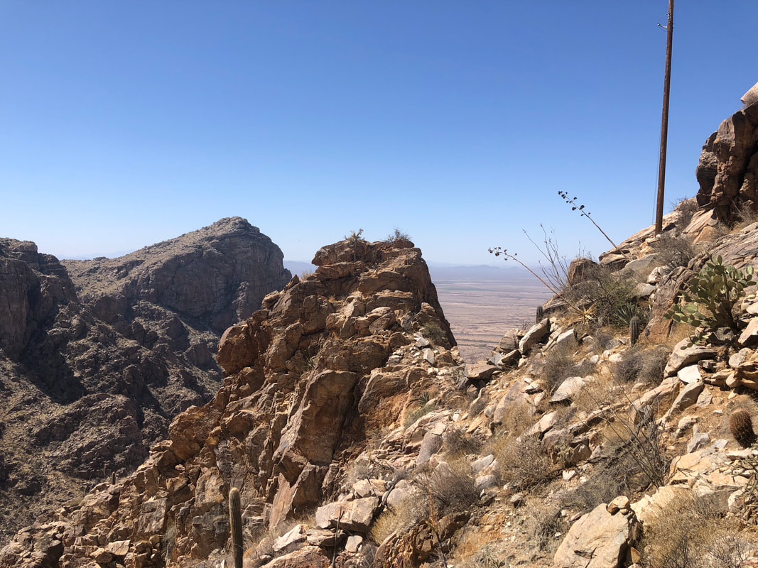
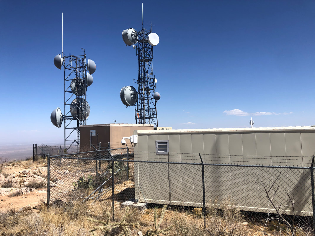
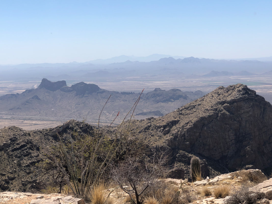
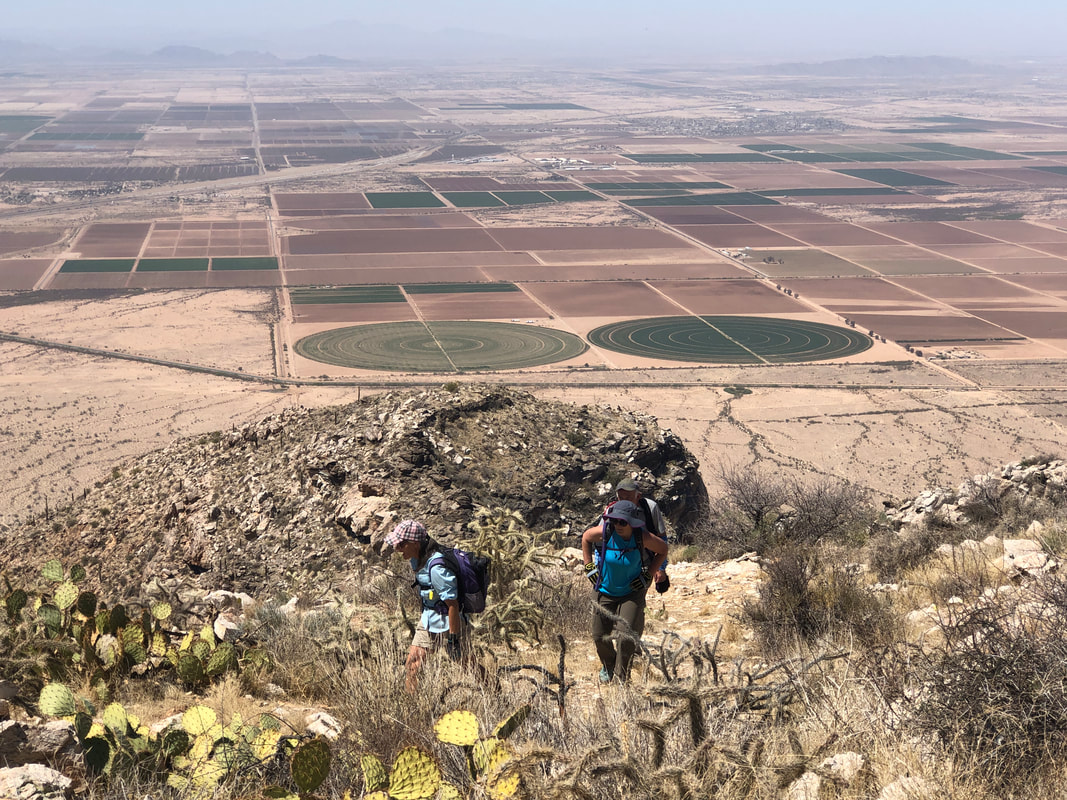
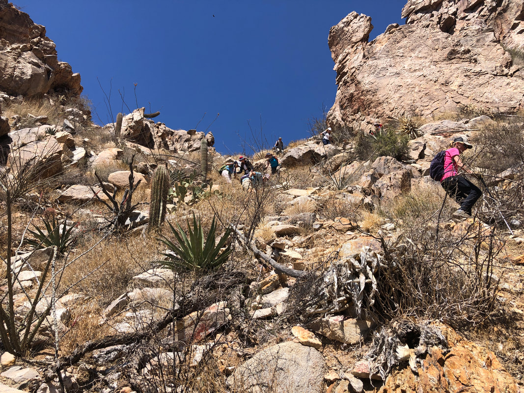
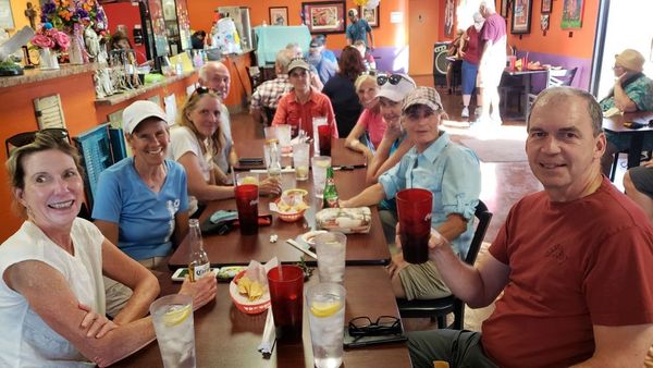
Waiting on hiking buddy Katherine to pick me up for a first time experience, riding in her Bolt. I discover her driving tendencies are a bit different from mine. 15-20mph over the speed limit in heavily patrolled Oro Valley and 10mph under the speed limit on I-10. I didn't nag much as I was glad for the carpool opportunity. The tractors are out in force, readying the acreage for planting. We meet the rest of our 10 person group by a pump station, consolidate into vehicles that can make the 3.5 miles of dirt road and soon..... ....arrive at the trail head. Bill Bens on the left, graciously volunteered to drive his Subaru, so those of us who didn't have a the required high clearance vehicle, could arrive. Meantime. all eyes are looking at.... ....Newman Peak, the 2nd peak from the left and the highest point in the Picacho Mountains. This would be my 3rd visit and my memories of the prior 2 visits were a cocktail of pain, suffering, bushwhacking, calling 911 for a lost hiker and MORE! The hike begins with a bridge crossing over the CAP canal. Upon our return, each of us would have enjoyed a cooling dive but fencing prevents that. The diversion canal is 336 miles and brings water from the Colorado River into southern AZ. The forecast high temperature was an unusual 93 degrees. So, our regroups always coincided with shade and within the shade, the cooling effect was significant. The terrain is very rugged but I was pleasantly surprised that much of the brush that had made progress difficult on earlier hikes, had been cut. THANK YOU whoever you are. My biggest concern was not making a mistake I had made on a prior visit, missing a 90 degree left turn. With the help of a gps track and more plentiful cairns, I managed to keep us on the route.. It's not accurate to call this a hike. It is mostly boulder hopping with a mix of ascending really steep slopes covered in scree. It's not for everyone but of course, all of our group are way experienced. Katherine tripped and bounced off a saguaro cactus but other than picking a few spines out of clothing, she was good to go. The shells of land snails were plentiful as was scat from either deer or bighorns. Bighorn sheep were reintroduced into these mountains, 3 years ago. I detest the use of paint to make arrows or leave messages but had to admit, as we regrouped in the shade. the message on the left wall was funny. The scenery was magnificent as we slowly make our way to the peak. The average grade for the entire 2.5+ mile climb is 19% so when we finally..... ...reach the peak, we were more than ready for it. There is an assortment of buildings and satellites. Back in the 1930's a beacon was placed on this peak so planes traveling east/west could use this and other beacons to guide them. Looking across I10, we can see Picacho Peak, about 1000' lower than where we stood on Newman Peak. Dozens ascend that each day but few ever hike Newman. It's kind of a point of pride to have done both and I was glad all of our group made it today. Lorna and Lorrie arrive. Check out all the distant fields. We spent about 30 minutes at the top and then began the tricky descent. We probably all slipped at least once with Bill and Karen falling. Karen had a nasty looking gash but she reminded us that having crashed many times during an impressive cycling career, it wasn't the first time. We eventually made it to our vehicles, finishing with 5.75 miles and 2600' of climbing. Then.... ....all our schedules being clear, headed to a restaurant in Eloy. Missed the Amester on this hike but she'll be back for the next one.
0 Comments
Leave a Reply. |
Categories
All
Archives
November 2023
|
