|
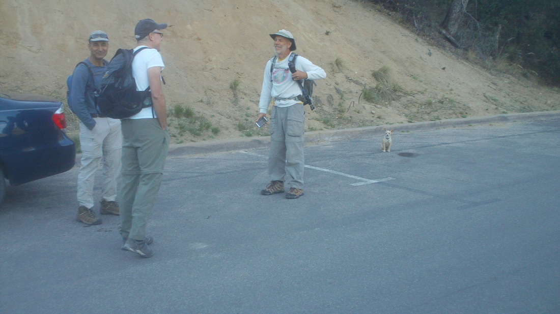
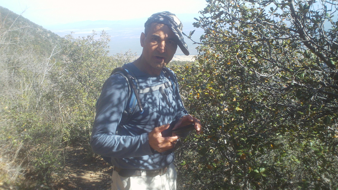
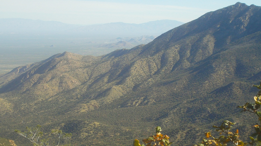
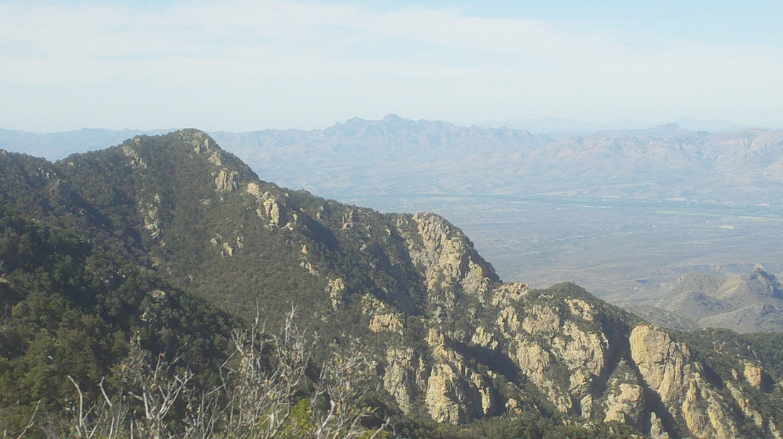
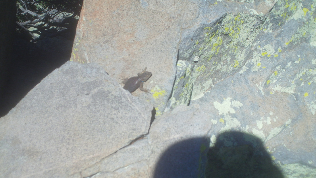
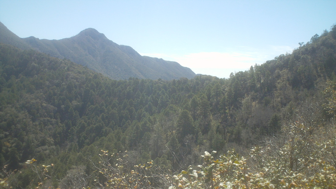
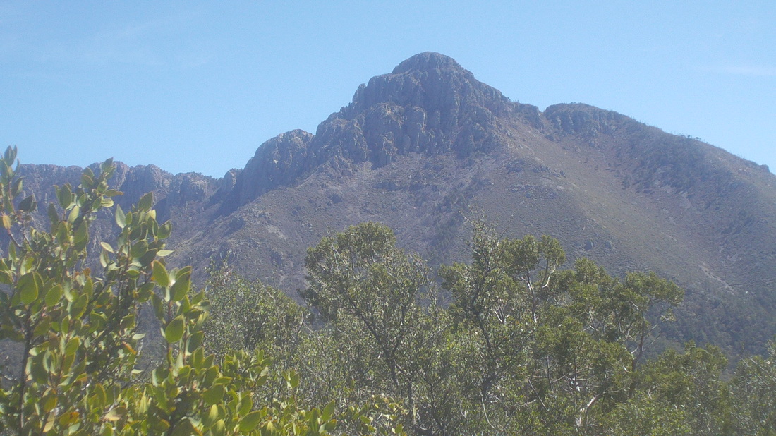
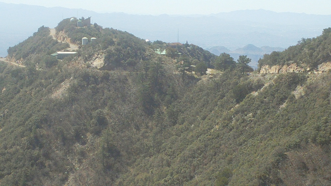
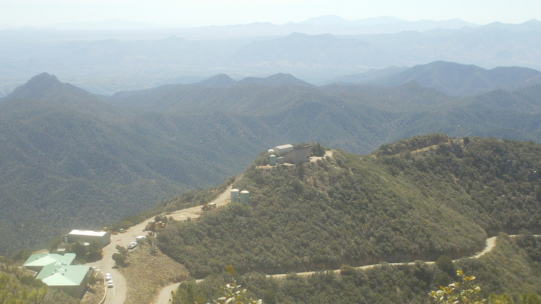
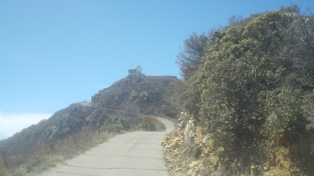
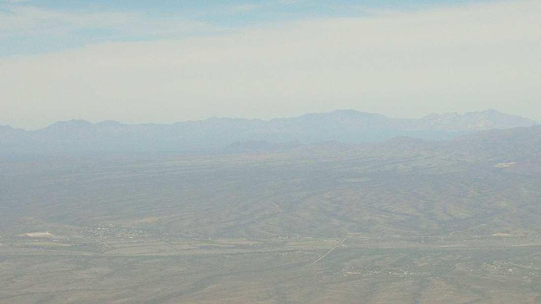
At the Madera Canyon parking lot, we gather, including (left to right) Kamaran, Chris, Patrick and Patrick's dog, there behind him. An amazing dog that walked every step of the 9 mile route with 3900' of climbing. Not in the image is Dale, Gary and Heidi, a dentist who sold her practice in Hilliard, OH. We shoved off on the "Old Baldy Trail" but soon came to a fork and selected the right turn. This new trail is named "Vault Mine Trail", rising 1800' in 1.5 miles. Kamaran got the jump on us at the beginning as we worked our way up what has got to be one of the steepest climbs I have done, very close in difficulty to the last 1./2 mile of Rincon Peak. I was unable to catch Kamaran until the trail dead ended at "Aqua Caliente Trail". It appeared that Kamaran at least had to work hard to stay in front of me. Neither of us had memorized the required turns but he thought we were to make a left so we did, which was the wrong way. We should have just waited for the others to catch up but we are competitive enough that we did not want to give up the gap we had worked hard to create. There were some fantastic views to the northwest. We hiked for around 1/2 a mile on a trail that hardly climbed or descended before we decided we should turn back and regroup. Reaching the "T" intersection where the Vault Trail dead ends again and not finding our group, we continued on our new course. We arrived at a new trail intersection where I saw a very faint trail going west. I had recalled from the hike description that at some point we would go off the main trail via a seldom used and unmaintained trail so figured this must be it. Kamaran and I followed the trail while it rose to a group of large boulders. On one, someone had created their own petroglyph showing what looked like a wolf's head and paw prints. Later I learned someone had put them there about 10 years ago. Above, a lizard cautiously emerges from a hiding spot. Not sure why I did not think to take a pic of the petroglyph. Kamaran and I decided this trail was going in the wrong direction so we turned around, again. Returning to the maintained Aqua Caliente trail, we found a man who gave us some trail suggestions on how to access the peak of Mt. Hopkins. As he was doing so, Kamaran was looking off trail and towards the peak. He wanted to just start climbing directly to the peak, far above. I looked at the slope skeptically, surely a 30-35% grade and no idea if we would run into a wall or other required workarounds. Kamaran was all for heading up and I encouraged him to go ahead but without me. I was glad his brain returned to functioning normally and we..... .....headed back toward the Vault Mine trail via the Aqua Caliente trail, reaching and passing the Vault Mine on our left and continuing on, as we had originally when we emerged from the Vault Mine, toward the Josephine Saddle (describing our movements is challenging so it may not make sense to readers unfamiliar with the area). Our zigs and zags had added about 3 extra miles to the route. Above, across the valley is Mount Wrightson, about 1000' higher than Hopkins. Prior to reaching Josephine Saddle, we had been instructed to take a faint trail that would come in from our right. Kamaran walked by it. I yelled for him but the wind gusts carried the sound away so I gave up on seeing him again as I began another hard climb. I arrived at a group of rocks and thought I heard a rattlesnake so stopped to unsuccessfully identify its location. Just then, Kamaran came up and we restarted our hike, eventually emerging from the brush at a small power substation and a paved road. A little below we could see an observatory. We followed the road up the mountain, the observatory growing smaller below us. We ran into the rest of our group, having already been to the top and now headed down. In talking with them, I discovered that when we reached that pile of boulders with the petroglyph, we should have kept going as the trail eventually turned back toward the mountain. The final approach with a nasty pitch at the end that had to be in the 21-23% grade. After 6.9 miles, we made it. We did not stay long, retracing our route (without the wrong turns this time) and eventually catching up to the others so we emerged from the trail at the parking lot as we began, one group. Their group had just under 9 miles, our twosome had 12.1.
0 Comments
Leave a Reply. |
Categories
All
Archives
November 2023
|
