|
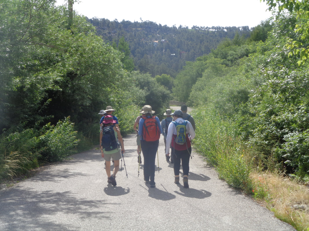
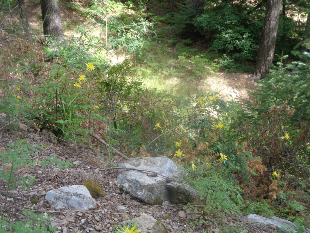
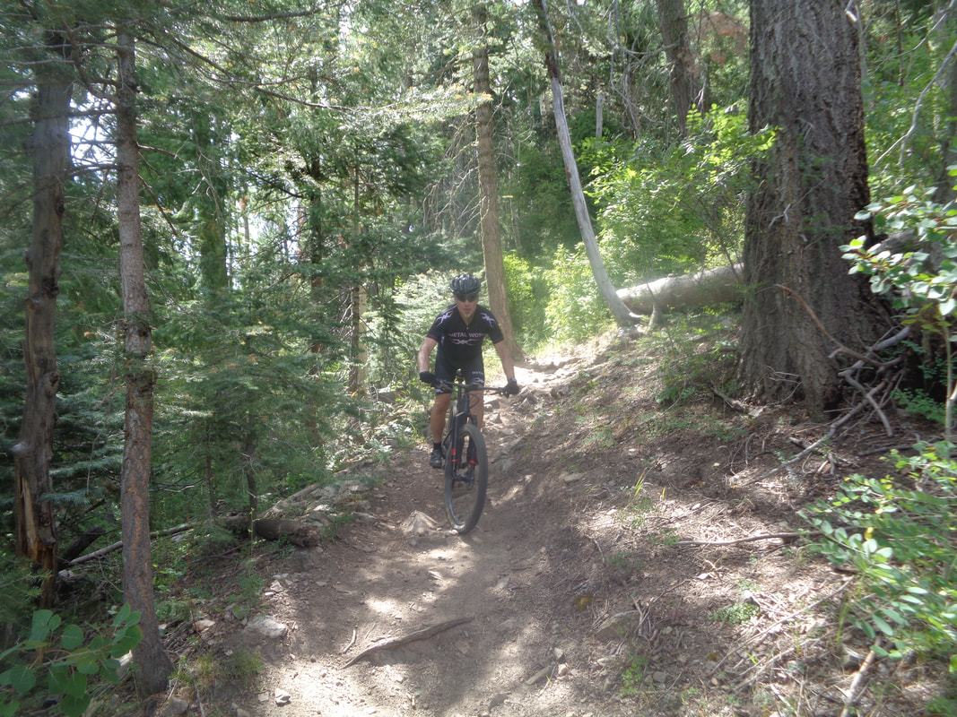
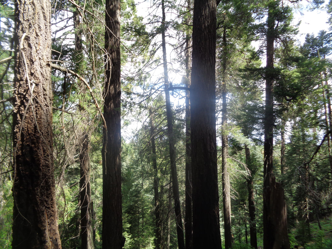
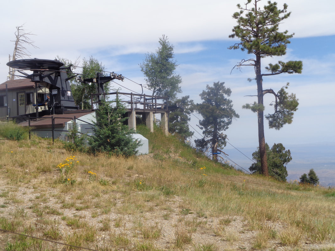
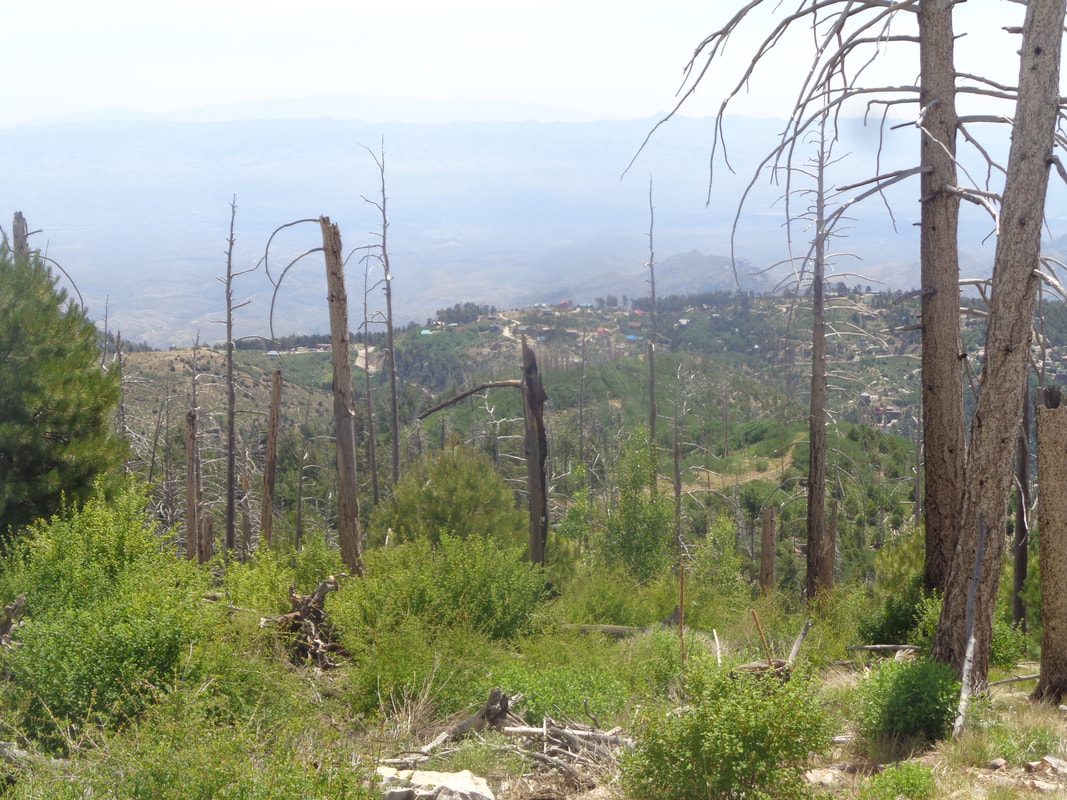
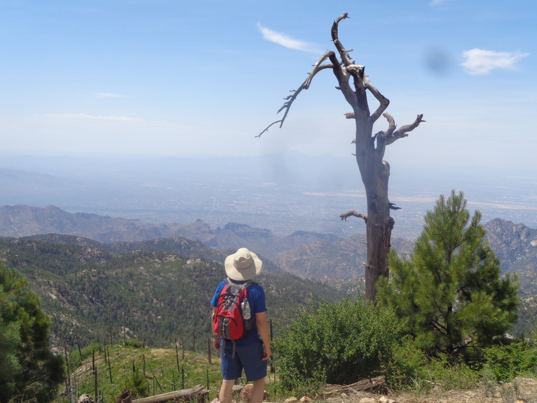
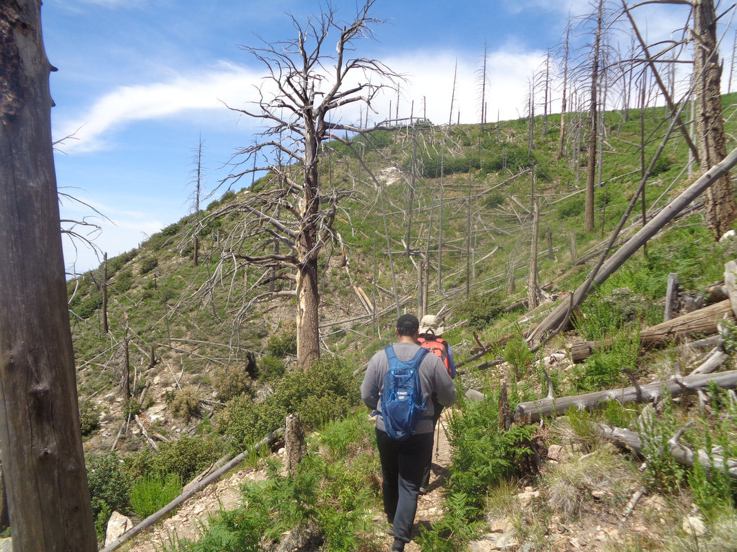
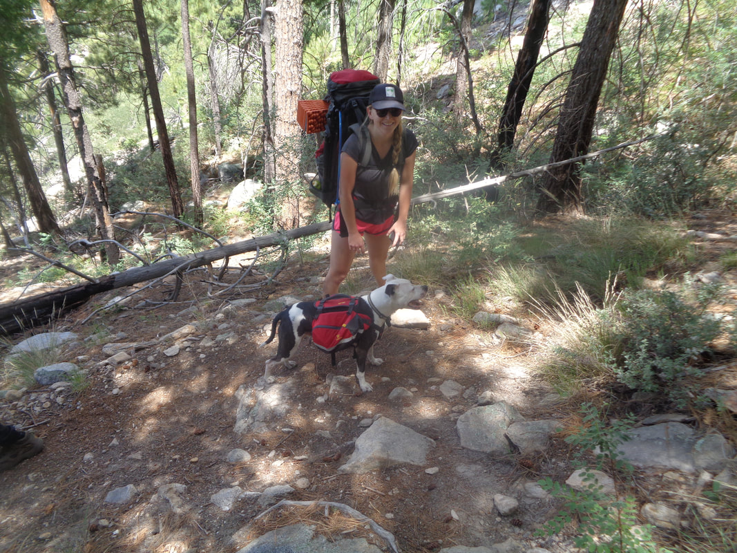
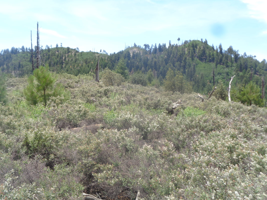
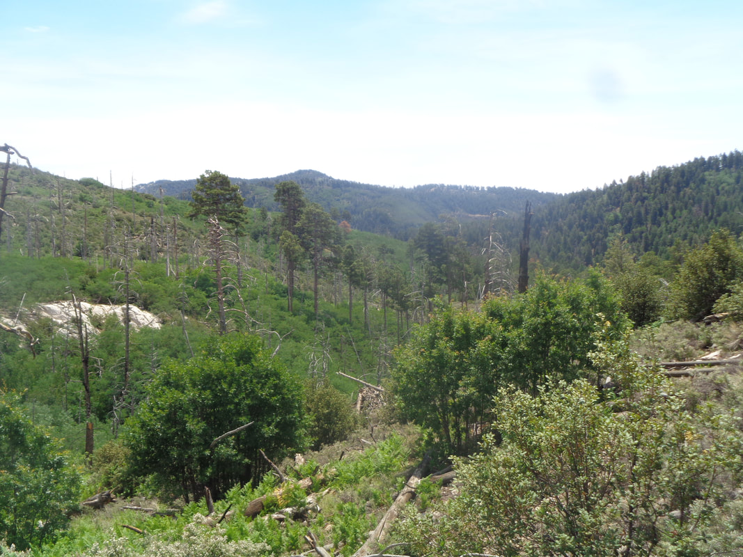
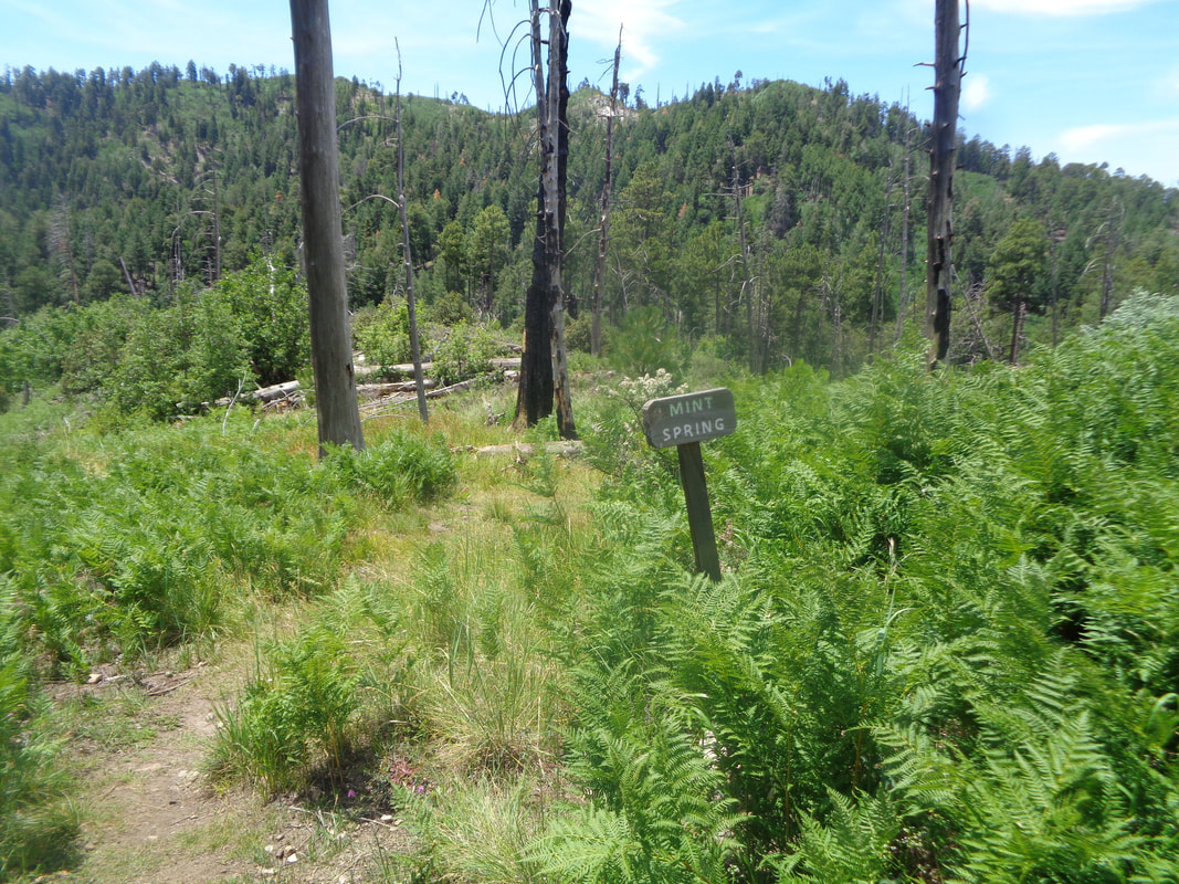
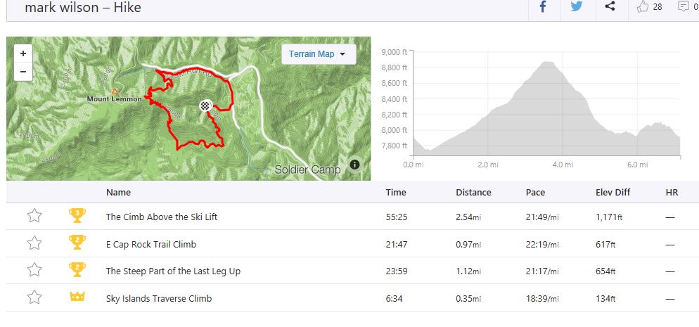
I met 9 hikers in Oro Valley, we split into 2 vehicles, drove around the mountains and then up Catalina Highway to the village of Summerhaven. Just after passing the iconic "Cookie Cabin" at which I have visited way too few times, we took a right and proceeded to the Mint Spring trail head where we piled out and geared up for a 7 mile loop hike. Oddly, rather than beginning on a trail, we walked down the road on which we had just arrived, walked past the Cookie Cabin with the distinct smell of baking chocolate and then another left. Soon..... ….we were trail hiking and passed many Columbines in full bloom on what I think is the east side of the mountain. We were now on the Aspen Draw trail which was also very popular with..... ….mountain bikers. I asked a guy if a gravel bike would be possible on the trails and he said no. We had to stay alert as sometimes a biker would suddenly arrive with little to no warning. Arriving at the base of the ski lift at Ski Valley, we hung a left and continued up the wonderfully shaded trail. This side of the mountain avoided the devastating Aspen Fire of 2003. A tiring climb but as always, a rewarding view once we emerged from the forest. In the distance is Summerhaven and the difference in vegetation on this side of the mountain compared to the other is of course, stark. A member of our group, Zack, looks into the vastness to the southwest. It's fun to tick off the various features like Thimble Peak, Blackett's Ridge, the Santa Ritas, etc..... After a short break, we descend the Aspen Trail with Jo Anna leading the way. We encounter a few hikers ascending and always step aside as curiously, those going up hill in AZ have the right of way..... ….including dogs. After a long descent, we regroup at Marshall Gulch saddle and then step on the Mint Spring trail. I had assumed this would mostly be down hill but dang was I wrong. Up, down, see a ridge and think, "No way we are going up to that." but sure enough, we would. Always good views to accompany each painful step but at last we reach..... ….Mint Spring where there was a spring and mint plants (and lots of ferns)....how about that? But this was not the end, only the beginning of the end as our march continued until we reached the parking lot with a cumulative 7.2 miles and 1700' of elevation gain for our effort. I had intended to hang with the group but at the first climb, I began thinking about a likely Strava segment so picked up the pace and did so at some of the other climbs. Loading the route onto Strava I discovered.... ….I set some good times comparable to the few people (80) who had completed the same effort and also uploaded their hikes to Strava. If you don't know about Strava, check it out. For me, it is a huge motivator to hike and compare my times to others.
0 Comments
Leave a Reply. |
Categories
All
Archives
November 2023
|
