|
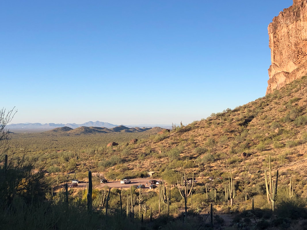
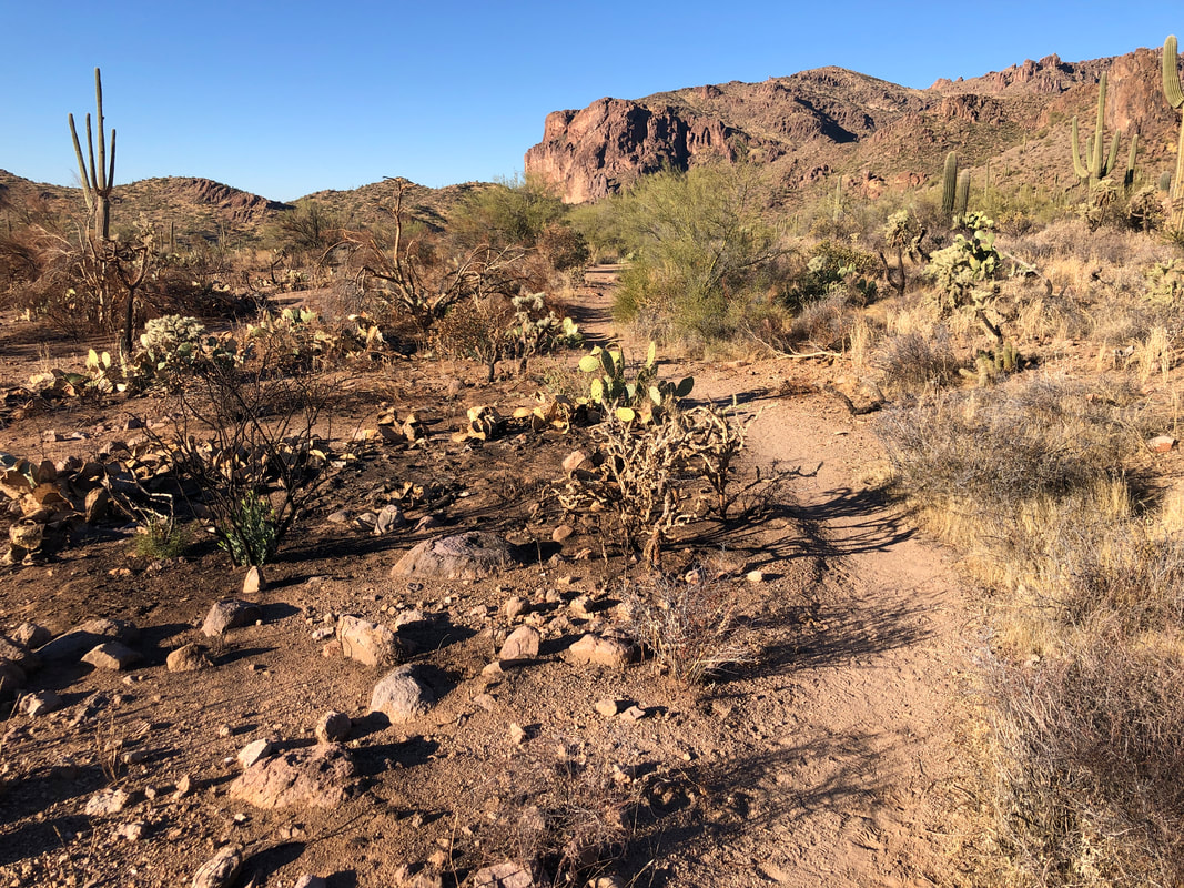
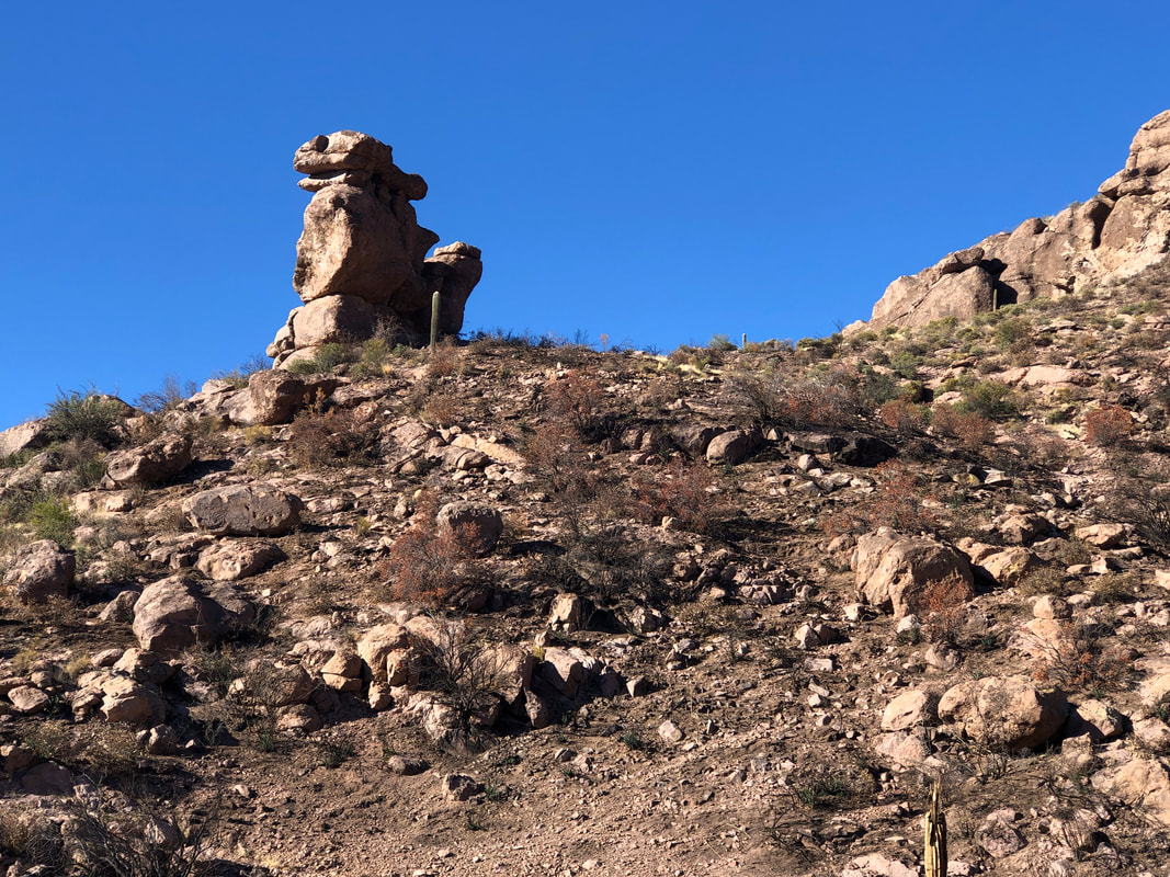
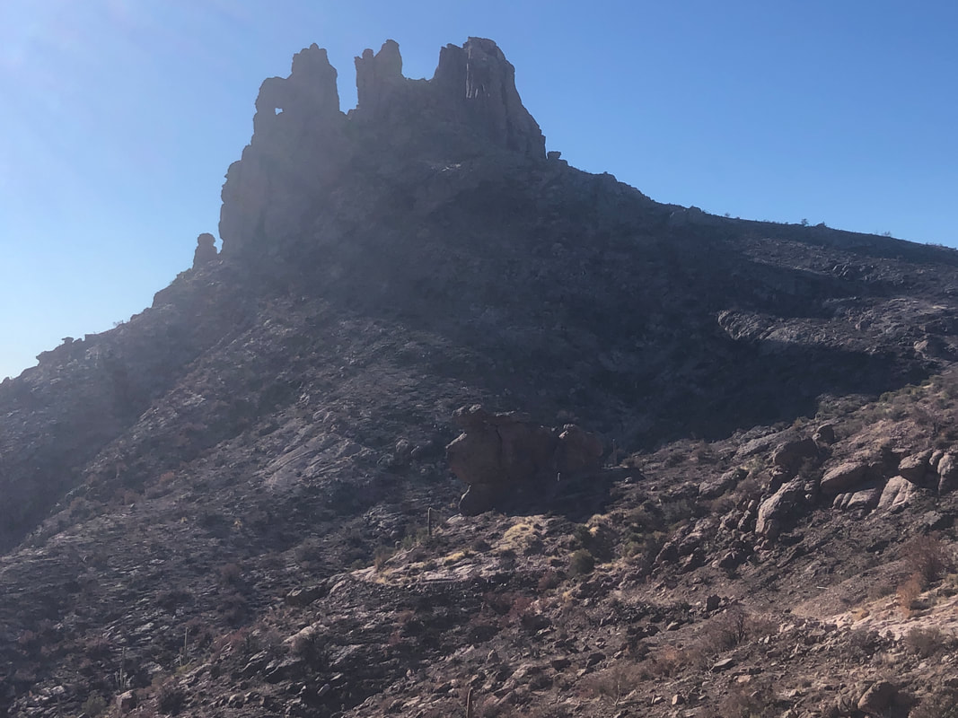
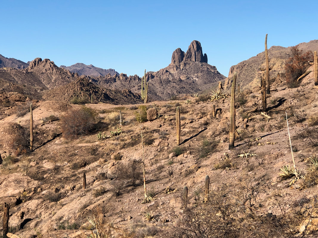
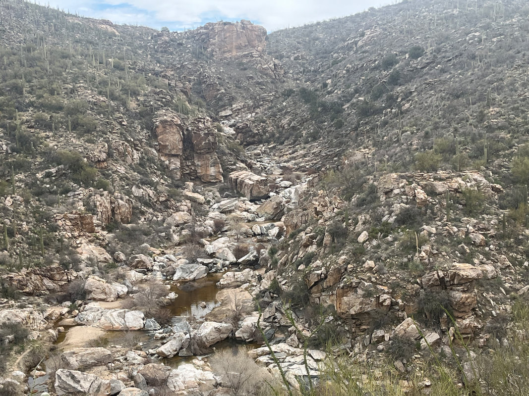
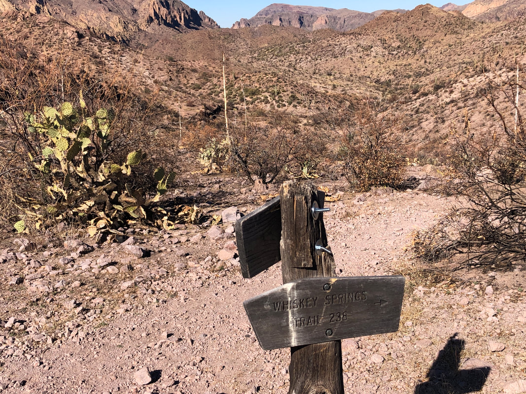
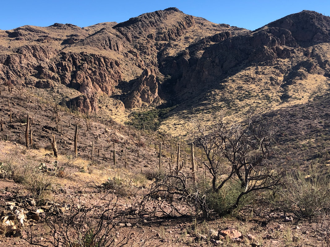
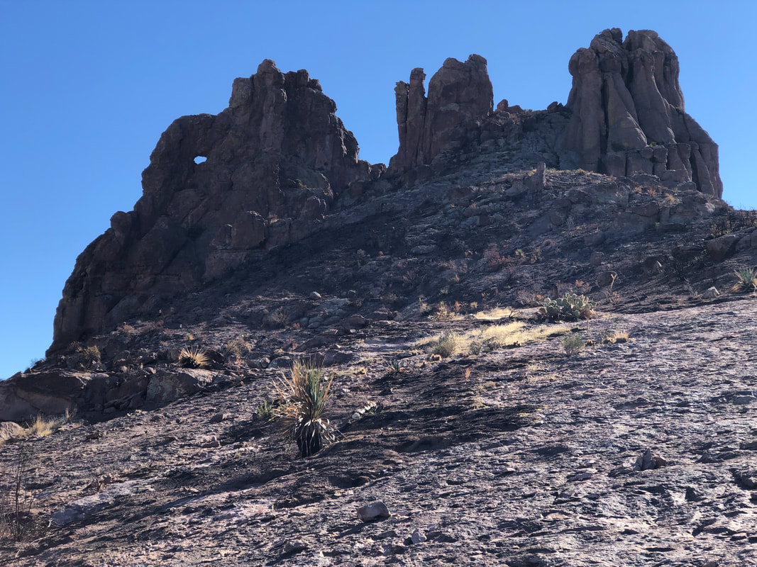
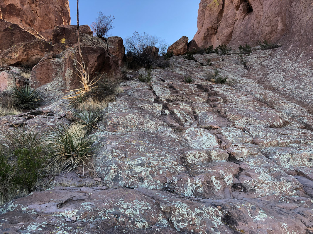
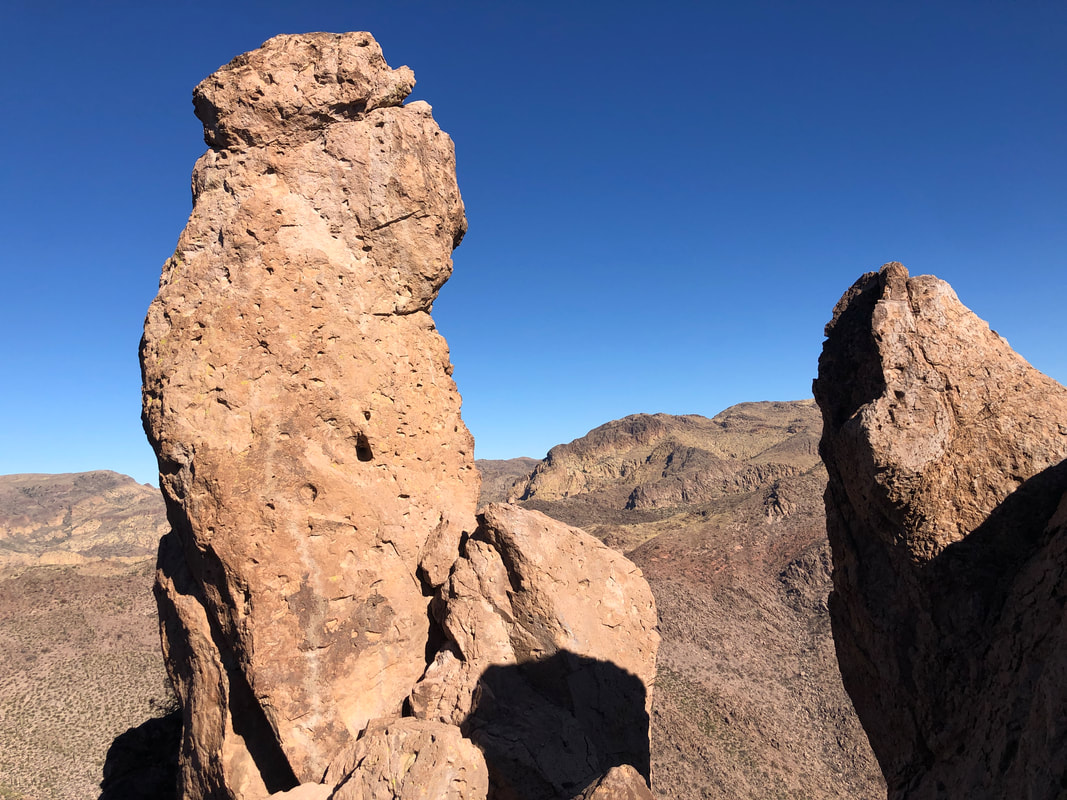
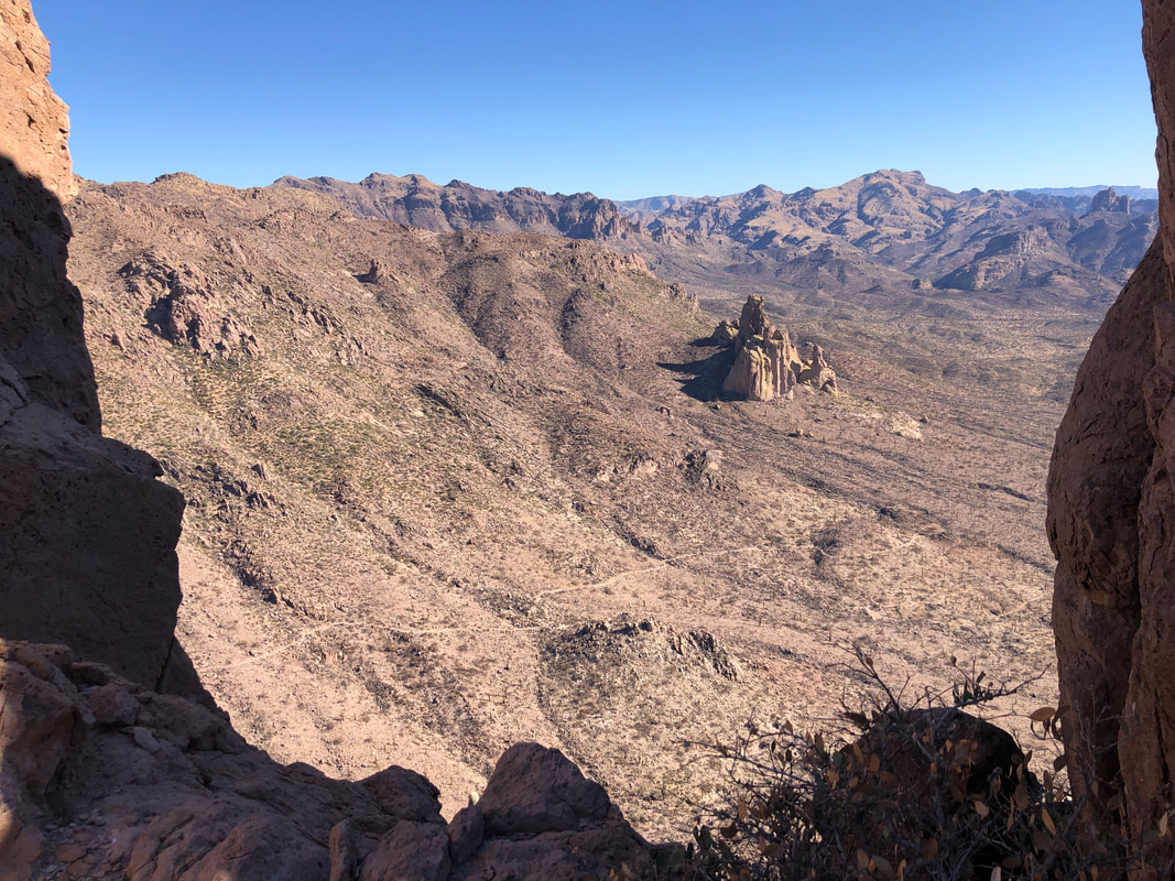
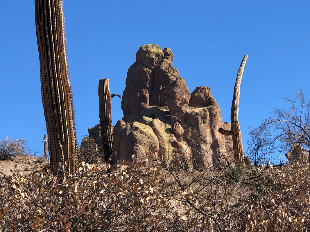
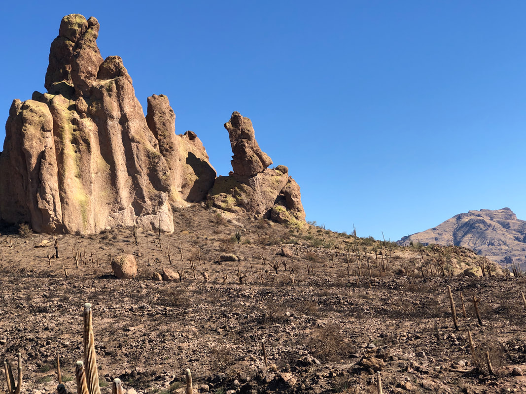
Summer's heat kept me out of the Superstitions so I was anxious to return despite having made the 90+ minute drive just last week for a hike. I wanted a longer hike and to explore a part of the Supes not previously visited. I planned to follow the Dutchman, Whiskey Springs, Red Tanks, back onto Dutchman and then Bluff Springs trail for the return. The loop would go around Miner's Needle, about 13 miles. Hindsight being what it is, I should have had a gps route to follow but assumed all trail junctions would be signed. I followed the Dutchman for 2.8 miles, at first unaffected by this summer's fire, which burned 194,000 acres. Soon though.... ....I walked into an extended area where the trail had been enough of a fire break that the fire had not crossed to the other side. But soon..... ....ugh. Saguaros lost forever, thousands of them. Many had already toppled and lay in the surrounding area. These had been standing for 100+ years but no more. With the ground cover removed, it completely changes the views and so rock formations tend to draw more of my attention. Above, the top of the spire appears to be the head of a lizard or snake. At about mile 1, a 4 mile, moderate climb begins during which Miner's Needle comes into view and is eventually passed. Above left is an arch or the eye of the needle. On a certain day of the year, at a certain time, sun pours through the eye, illuminated a spot on the canyon slope where gold has been buried. A myth almost certainly but many have tried to locate the treasure. That is a fun climb to get as high up as one can go. I continue the climb and.... ....hey, there's Weaver's Needle, my destination of last week. Higher I go, looking for the junction with the Whiskey Springs trail and the views.... ....stupendous. I am soon rewarded with..... ....signage indicating I should hang a right. Reaching a ridge.... ....I see a ravine in the distance where Whiskey Springs is located. I begin a descent but rather then enter that ravine, the trail breaks to the left and enters a...... ....brushy wash, it too undamaged by the fire. I emerge from the wash and see Upper LaBarge Box to my right. This area is new to me but the Red Tanks Trail comes through the notch and intersects with Whiskey Springs. I was to make a left at this junction but alas, there was no trail sign. I had a map, stood and studied it when I heard a noise and looking, there is a hiker going up a hill I had just descended. I yelled, "Hello". Thus began a strange conversation. He had been sitting on a boulder taking a break as I passed but said nothing to me. It seemed his knowledge of the area was good but as he was giving me advice about a left at the next junction followed by a right there....... I decided to turn around. I knew had I continued I would eventually emerge from this wash at LaBarge Springs and onto the Dutchman Trail but I was 6.5 miles into the hike and some of these trails that snake through washes can be a route finding challenge and slow. Better to not risk it today and again, stupid of me not to have a gps route to follow. Retracing my route at mile 9, I reach the base of Miner's Needle. Just can't pass that and not do the climb. It's a straightforward climb to a ridge on the right and then make for the notch on the right where..... ....you encounter a very steep "wall" but with good hand and foot holds so I scramble up and..... ....actually, the notch is as close as you can get to the Needle and there are spires that go higher but..... ....it's worth the climb for what one can see. Beyond I can see the Dutchman Trail winding its way down canyon. It's getting late and I have miles to go so I don't take a break here. The descent is kind of sketchy but I regain the trail and continue. Check out the above rock formation. Unremarkable save for the arch in the middle. Look closely and you'll see a fair sized saguaro growing from the middle of the arch. That gives some scale for the size of the formation. Soon, I pass.... ....another formation. Note the leaning portion. That will topple at some point as erosion will do its work. We received about 1/4" of rain a couple of days ago and I noted there were some pockets of water as I hiked. I had not sat down since beginning my hike so at mile 12, I had to take a break and let my feet take a breather. I chose to take the break prior to the final climb out of the canyon. I was going to hit the climb as fast as I could and maybe catch a Strava KOM. Unfortunately, my app did not restart once I got going and not data was collected for my effort...damn it! I finished with just under 14 miles and 2500' of climbing. Only saw 2 hikers which is fine but I like running into a few more as it is fun to exchange information.
0 Comments
Leave a Reply. |
Categories
All
Archives
November 2023
|
