|
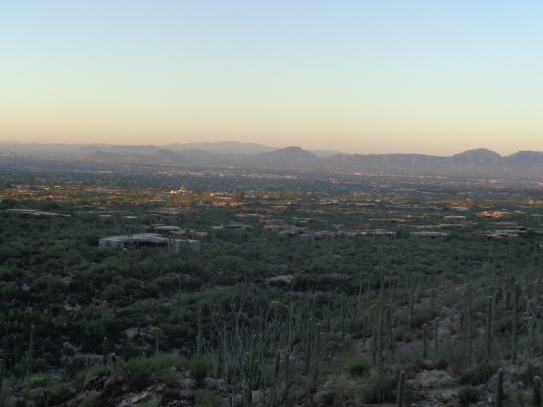
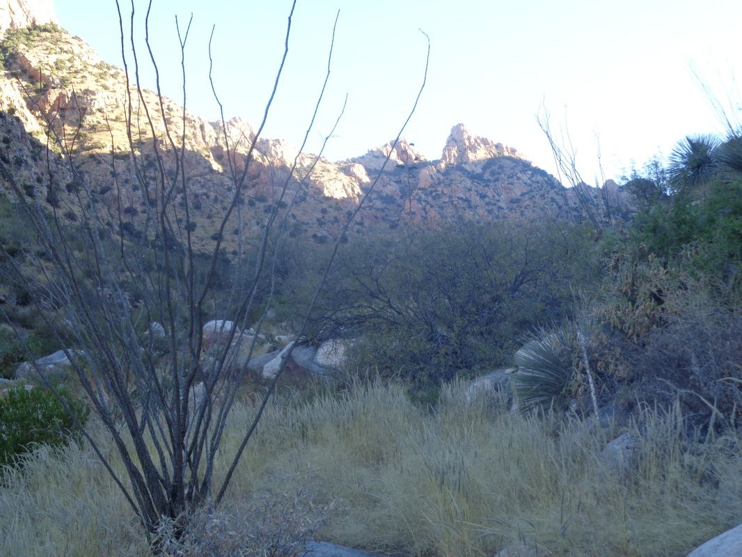
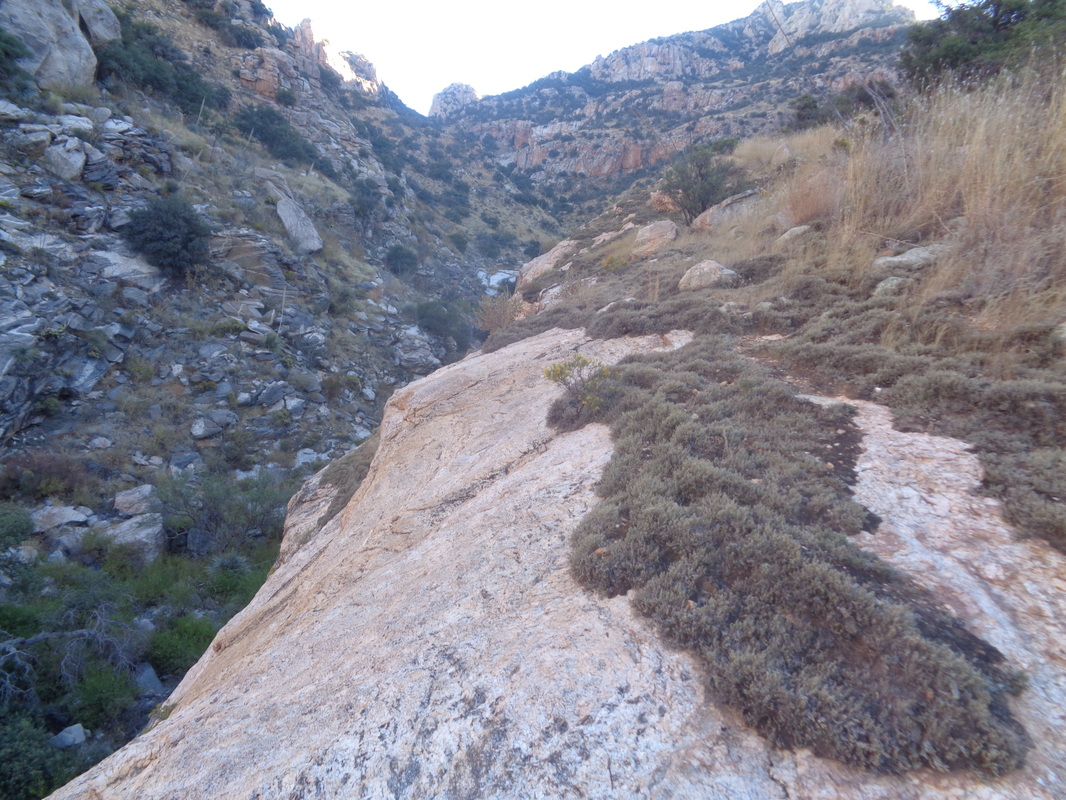
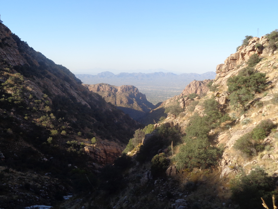
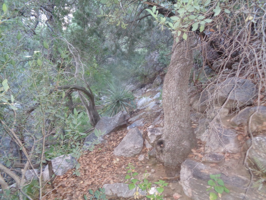
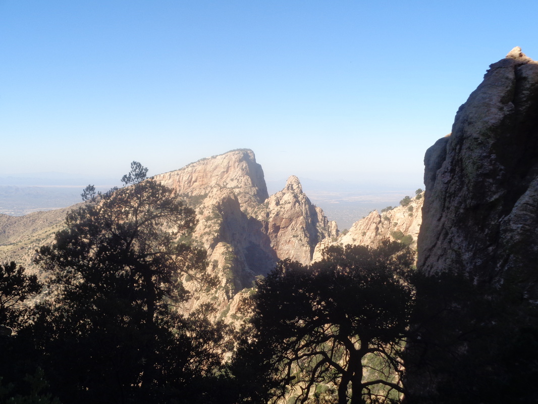
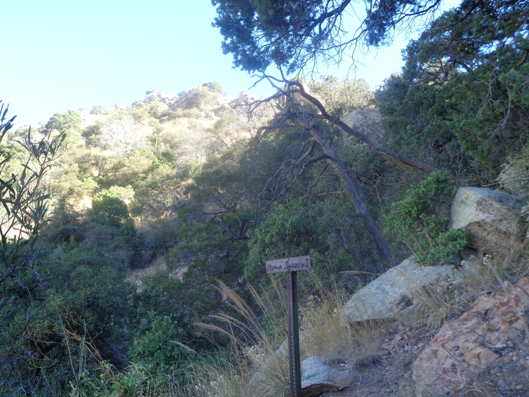
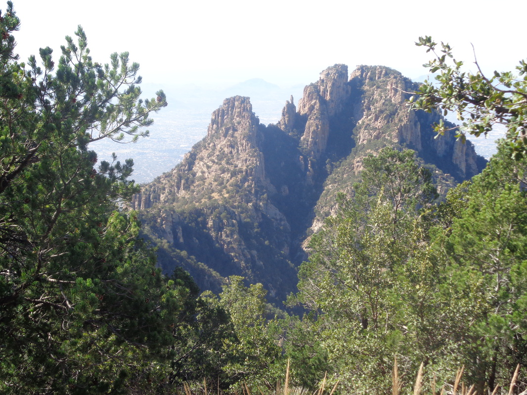
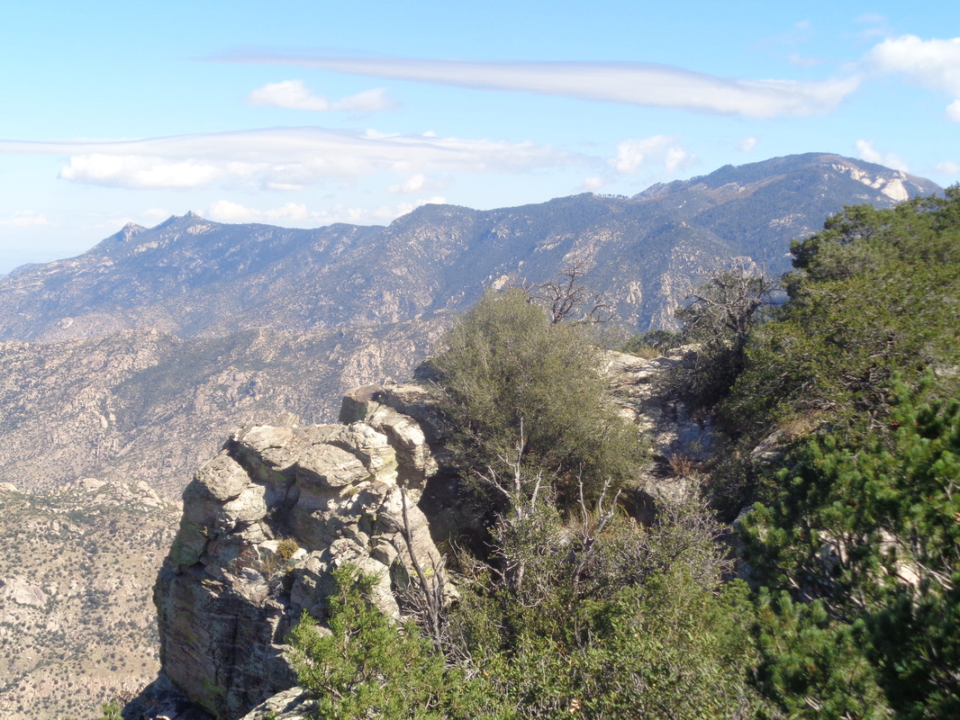
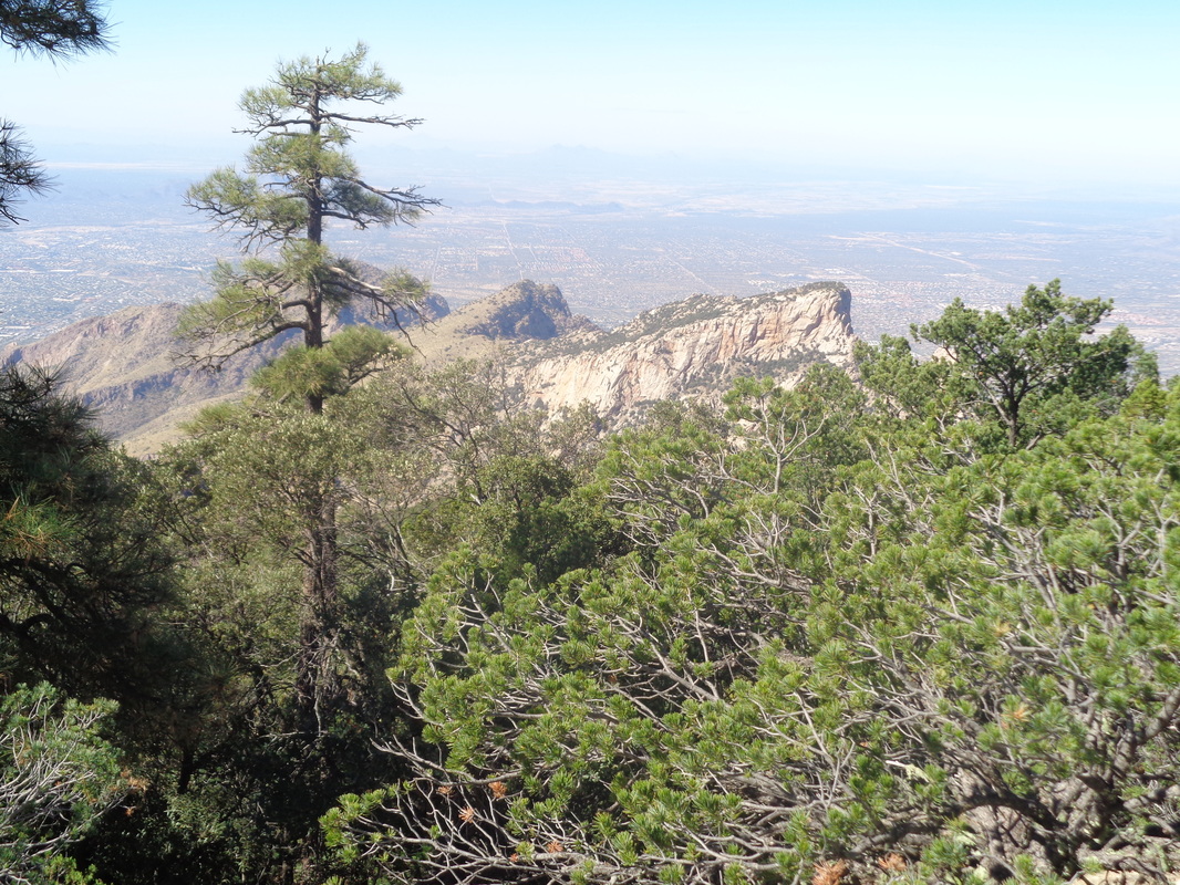
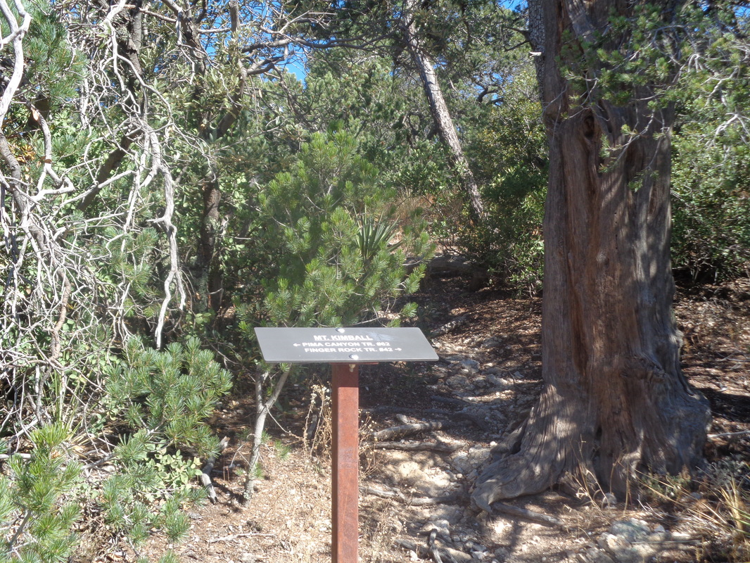
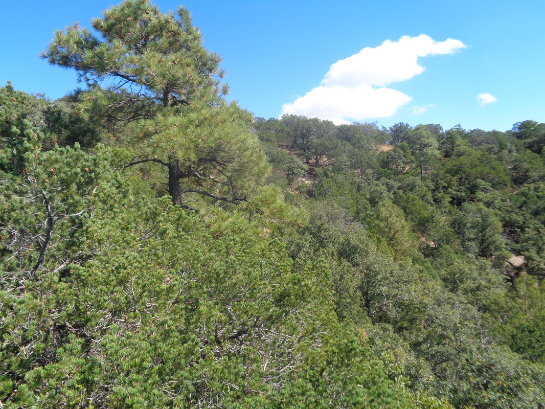
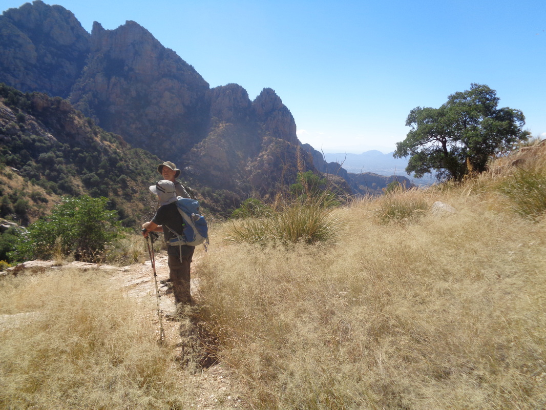
A small group of 6 meet at the Pima Canyon trail head at the end of Magee Road to hike to the top of Mt Kimball, the 2nd highest peak in the front range of the Catalinas. We shove off just as the sun rises on a day with a forecast high of 93 degrees. Like all trails in the area after monsoon season ends, the trail is overgrown with all kinds of pointy plants, including the dreaded "catclaw". All of our arms will bleed today despite wearing long sleeve shirts but at least the early start allows us to hike in the shade for much of the way up Pima Canyon. The trail crosses the canyon and its mostly dry stream bed many times but also rises above the canyon floor with brief sections of some exposure. I so much enjoy the wilderness experience with its sights and sounds but also prefer to hike in a group, I suppose for safety. Looking down canyon, the views are magnificent, as always. The trail, which is very difficult to follow at times, plunges back into the depths of the canyon and in there, the vegetation is thick but applying common sense route finding, one can work their way forward. Looking to the west, I could see Table Mountain from a vantage point few have seen as most view it from the other side in Oro Valley. I reached the sign that indicates continuing straight ahead would take me to the Pima Canyon saddle but instead turned to the right to follow a trail that, rather than climb steadily up as the previous 6 miles had, traverses in and out of drainages on a horizontal trek. Of course, that did not last for long and once again the climbing continued as it took me.... ...to the north side of Finger Rock. Very cool as I have never seen it from this angle. Later, I see the above image with a view of the top of Mount Lemmon and some interesting clouds around the peak. As high as I am now, near the summit at 7300', Lemmon is at 9300'. I look southwest and see..... ....Table Mountain again but now well above its peak at 6300'. To its left is Bighorn Mountain and behind the truck of the pine is Pusch Peak. I reach this sign post that indicated a left takes me to where I have come and to the right I would eventually reach Finger Rock Trail. I plod forward to what is the most anticlimactic finishes in these mountains. Usually the summits around here provide grand views but I climbed a boulder to take a pic of the Kimble summit to demonstrate, this is different. Putting in the effort to hike 7 miles while gaining 4500', underwhelming is the summit experience. My companions had decided to turn around prior to reaching the peak and upon discovering this, I picked up my pace to catch and overshot a turn in the trail. Ordinarily this would not be a problem except I found myself sliding down a slope to the bottom of the canyon. It was dark in there and I admit, a twinge of skairtness crept in. I thought about just continuing down the dry stream bed but frequently, you encounter a cliff or obstacle so I turned my attention back to the wall. Hmmmmm.... .....hey! I climbed out, encountered the trail and finally, caught the group. We continued following the trail and finished with approximately 14 miles. Long day but always fun and challenging.
0 Comments
Leave a Reply. |
Categories
All
Archives
November 2023
|
