|
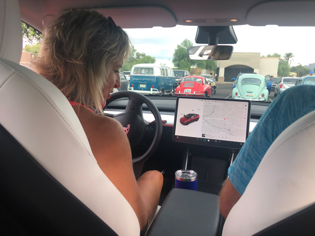
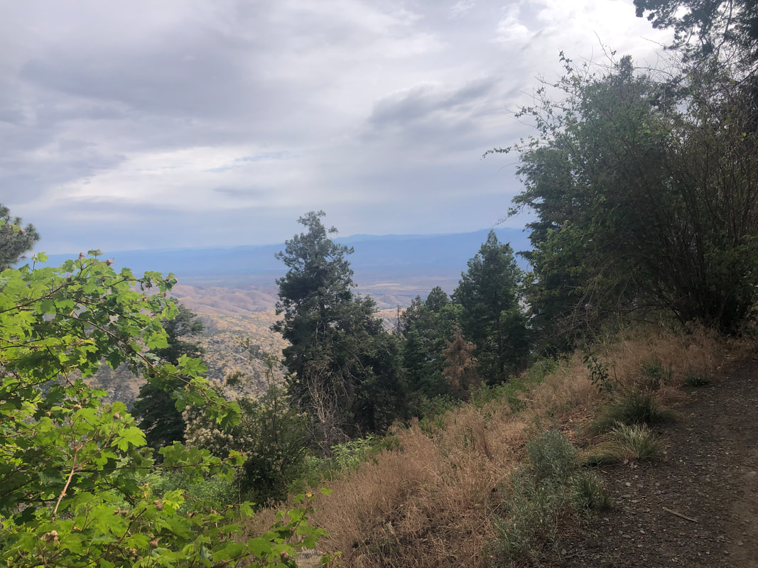
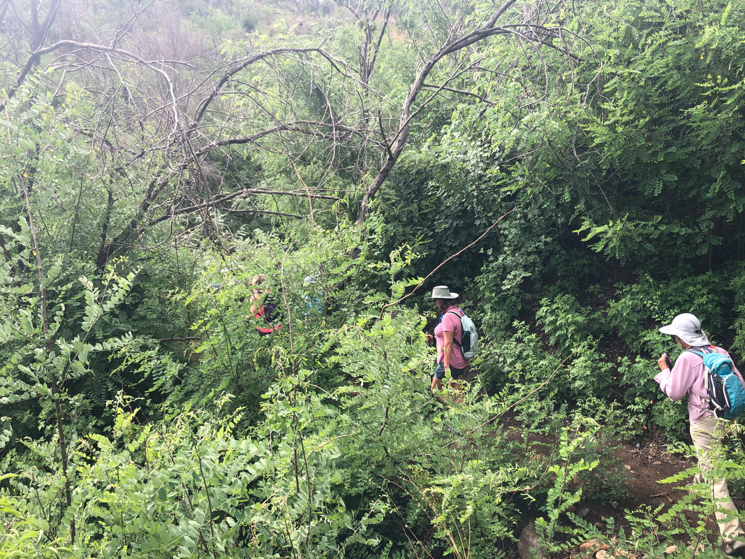
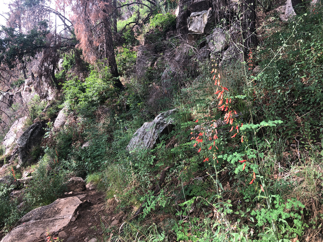
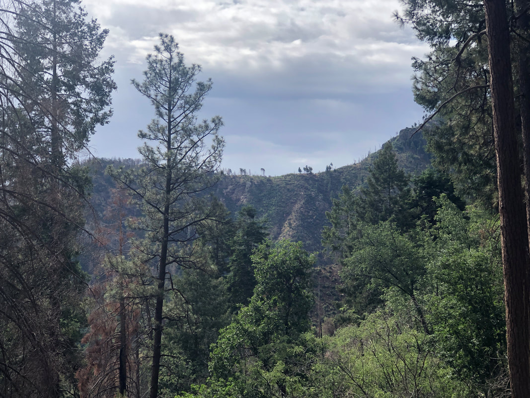
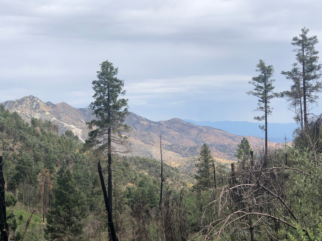
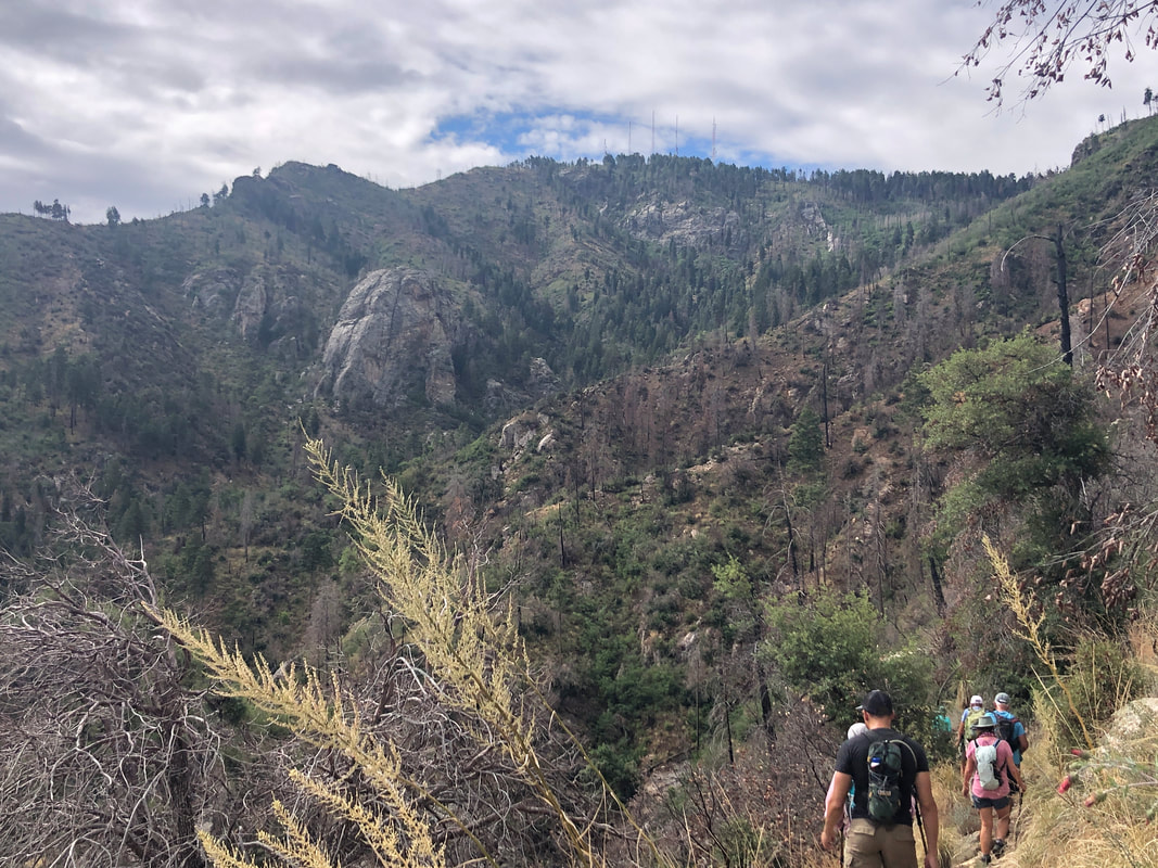
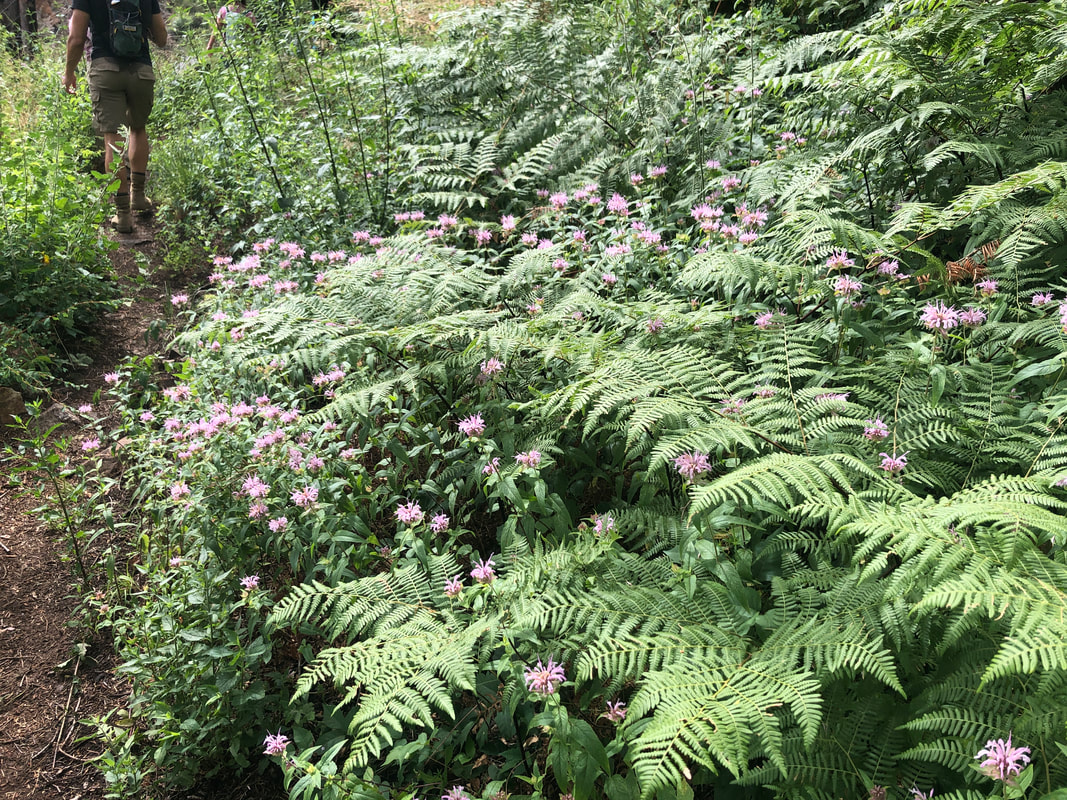
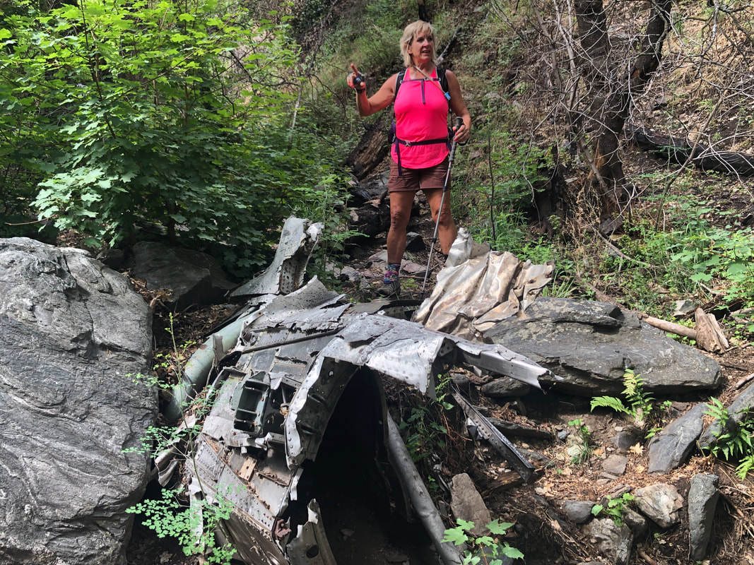
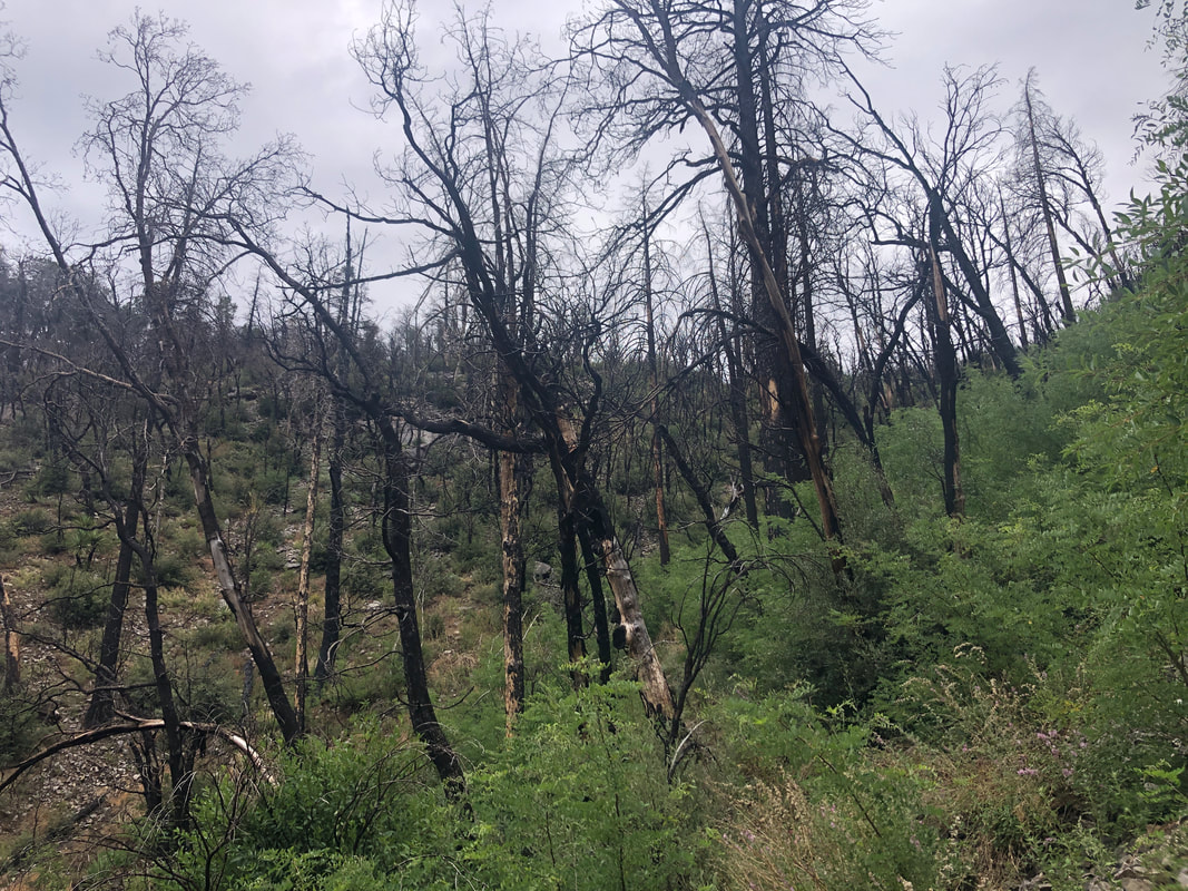
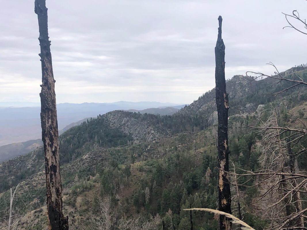
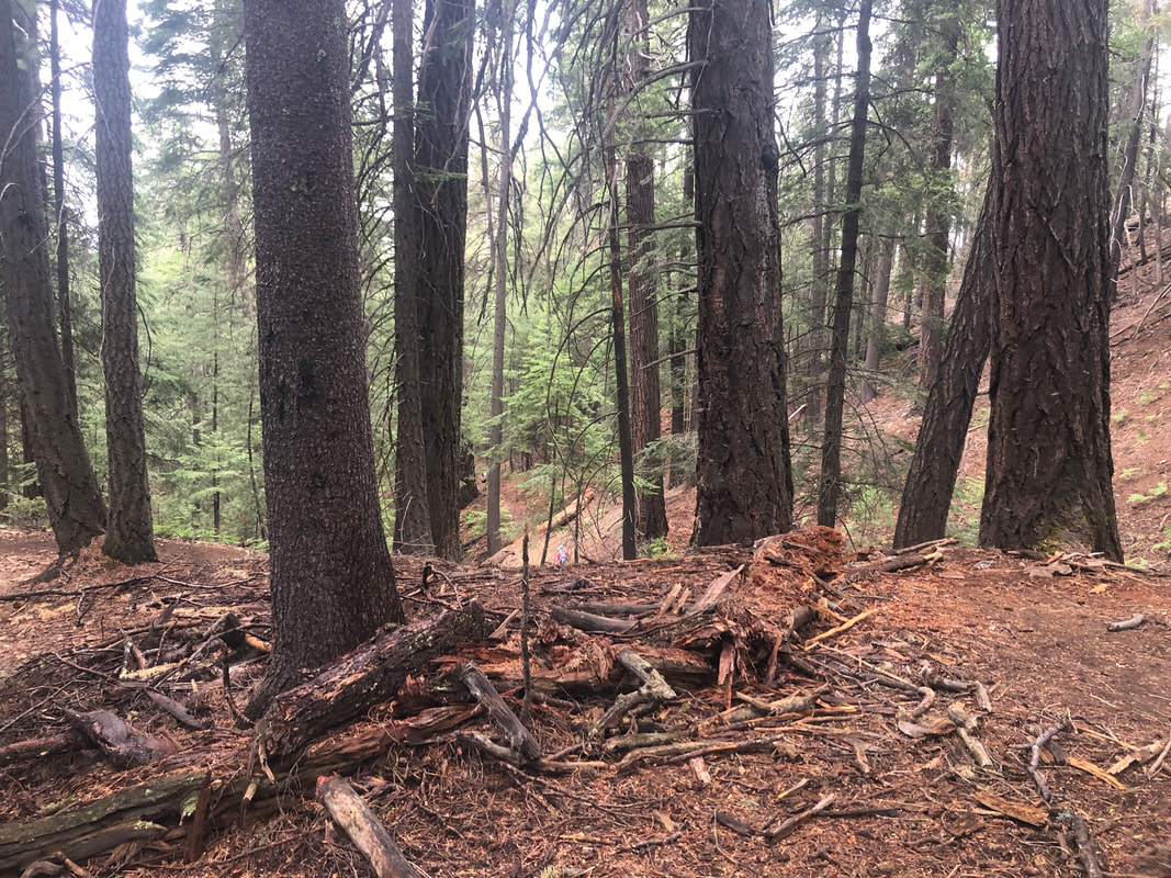
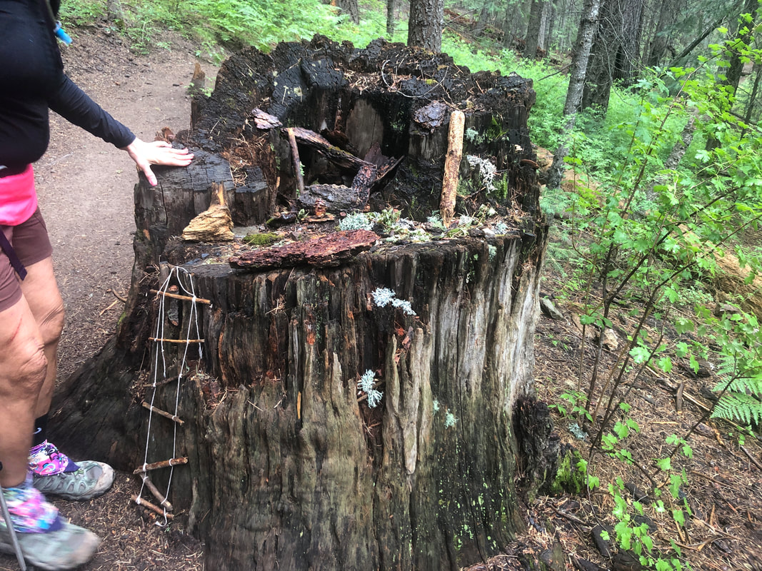
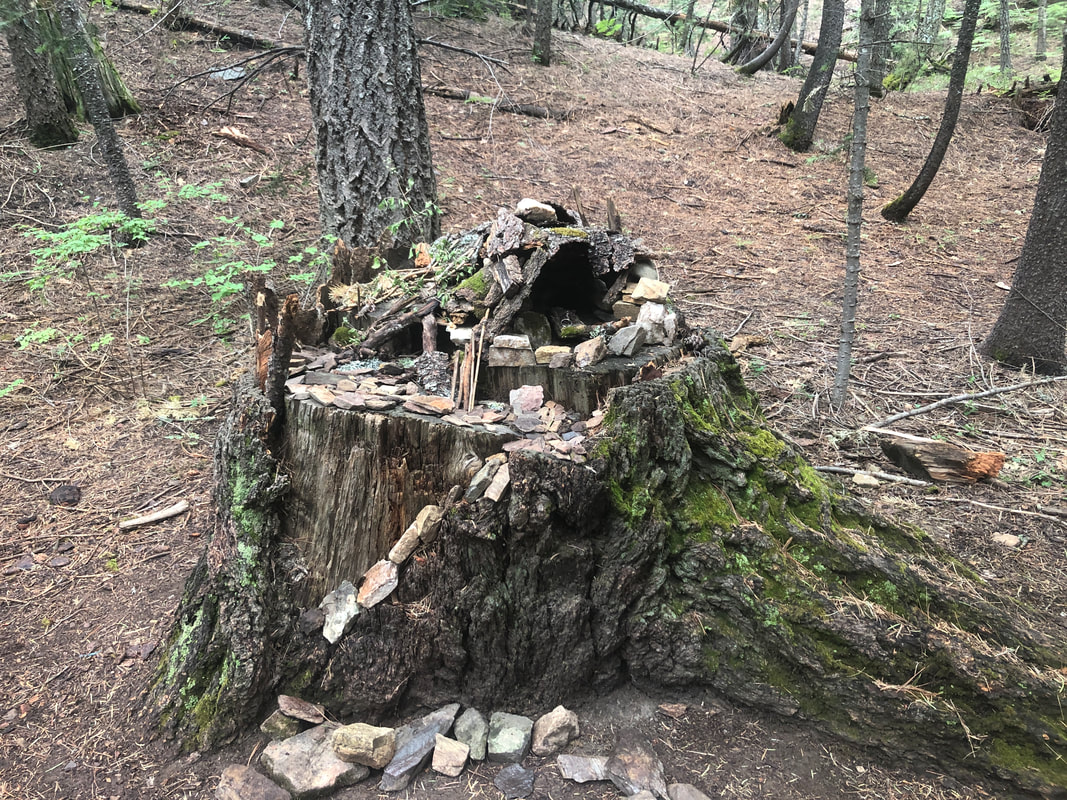
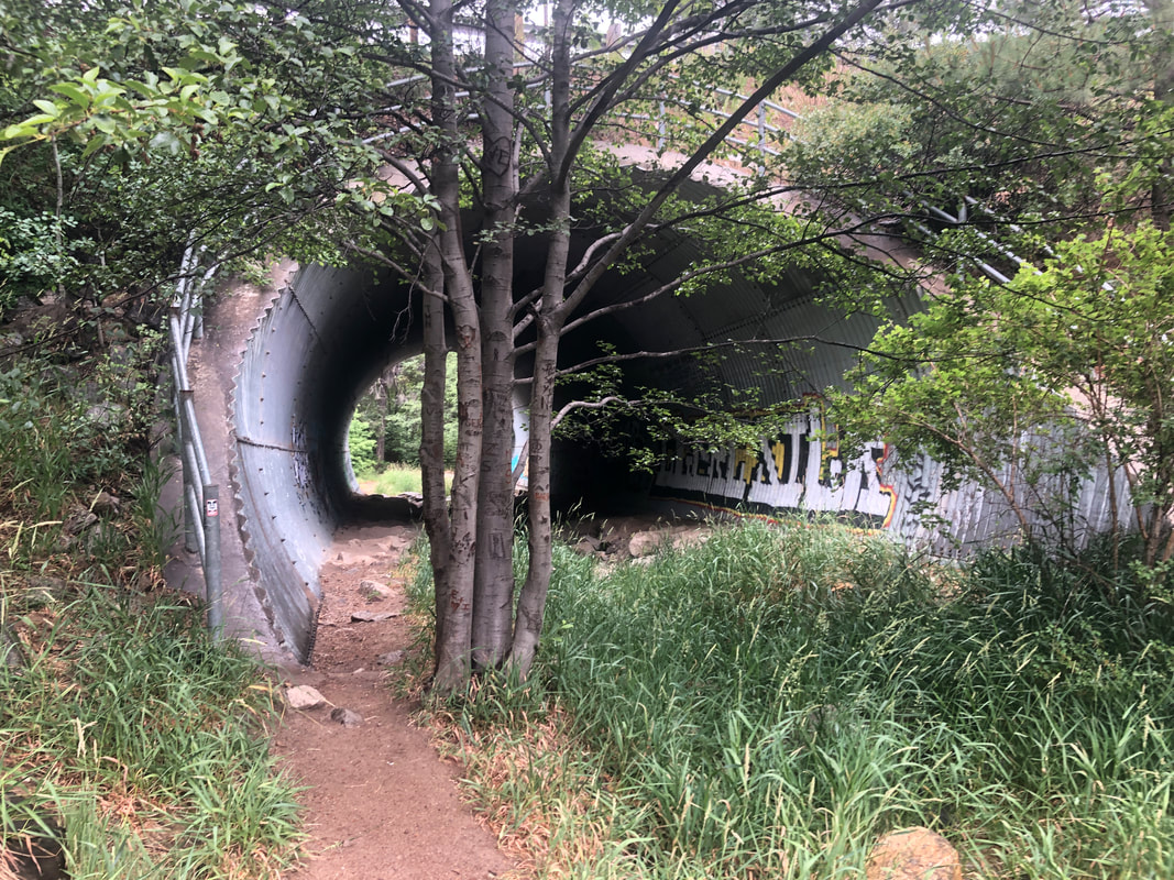
Some of our group of 10 gather in front of LaBuzz to car pool the 20 miles and 6000+' elevation gain to the Butterfly trail head. Marc G invited Amy to drive his Tesla, which she throughly enjoyed. An entirely different world where rain is abundant other than I think May & June, maybe Sept. and Oct. too. We begin our hike on the Butterfly Trail and later switch to the Sunset Trail to form a very nice, 8.5 mile loop with 2300' of climbing. We descend for 2.4 miles, passing many formations of flowers. In places, it was like walking through a jungle and at times, I could not see my feet. On a previous visit, I encountered two, black rattlesnakes and I dread the thought of hearing the rattle and not being able to see my surroundings. The Bighorn Fire of two years ago cleared out some areas and allowed for some.... ....great views. In addition to doing the loop, we were looking for a side trail that would take us to a military plane crash site from 1957. More flowers and at last.... ....Amy led us to the site which she had visited a few weeks ago. Actually, Amy was the route finder on today's hike and did a great job, also providing this information about the crash: Three F-86D Sabre Dogs from Davis-Monthan AFB were attempting an arrow formation when one jet pulled up and the tail struck the belly of another jet. The two pilots ejected out of each of their planes and parachuted a half-mile apart on Mount Lemmon. They were both rescued the next morning. One jet crashed near the Butterfly Trail, the other disappeared. 3 months after the disappearance, a rancher called the Air Force to report a mysterious crash. It was the other Sabre-dog, which had corrected itself and continued on its easterly course before crashing in Truth or Consequences (350 miles away). We got back on the Butterfly Trail and while heading toward a ridge, passed through a burn area. Now we were on a 3+ mile climb which was rather steep in places. I've not been hiking much so began to feel the effort in my thighs. Then it began to rain, lightly but persistently. We didn't much mind as we were already soaked from our effort on this humid day. We finished our ascent slightly below Mt. Bigalow, then followed a dirt road for a bit. The rain paused but now many of became quite cold due to our wet clothing and 65 degree temperature. Hiking out here, it never occurs to me to pack a simple and light rain protective piece. We departed the dirt road and descended.... .....steeply via the Sunset Trail, passing many huge Ponderosa pines. One of the highlights of today's hike was..... .....admiring several gnome displays. Someone put in a lot of effort to create these intricate.... ....displays. Near the end of our hike we passed beneath General Hitchcock Highway and eventually to our cars. I declined the offer to drive the Tesla so Amy could have another go with it.
0 Comments
Leave a Reply. |
Categories
All
Archives
November 2023
|
