|
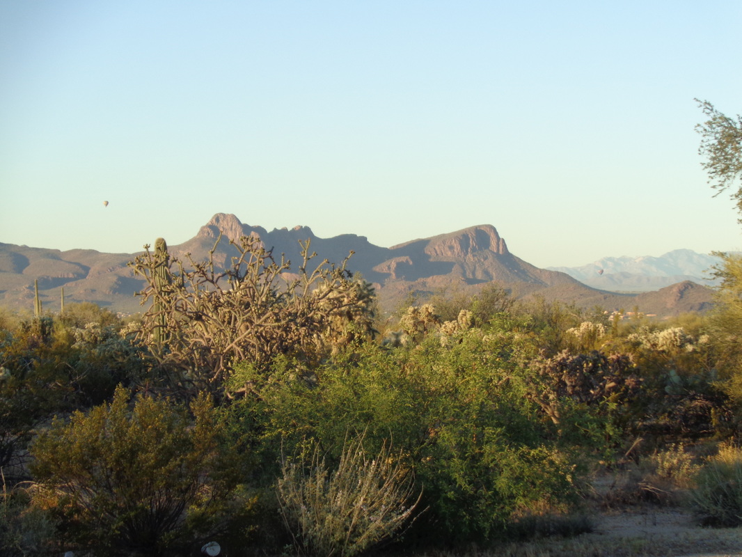
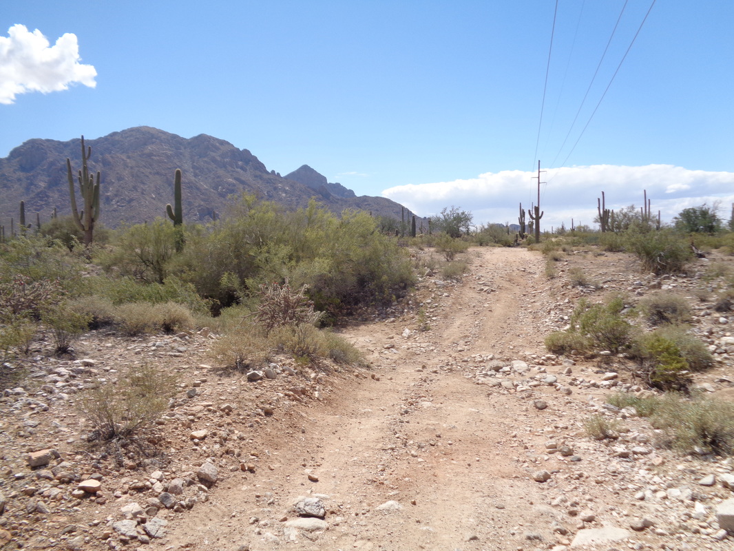
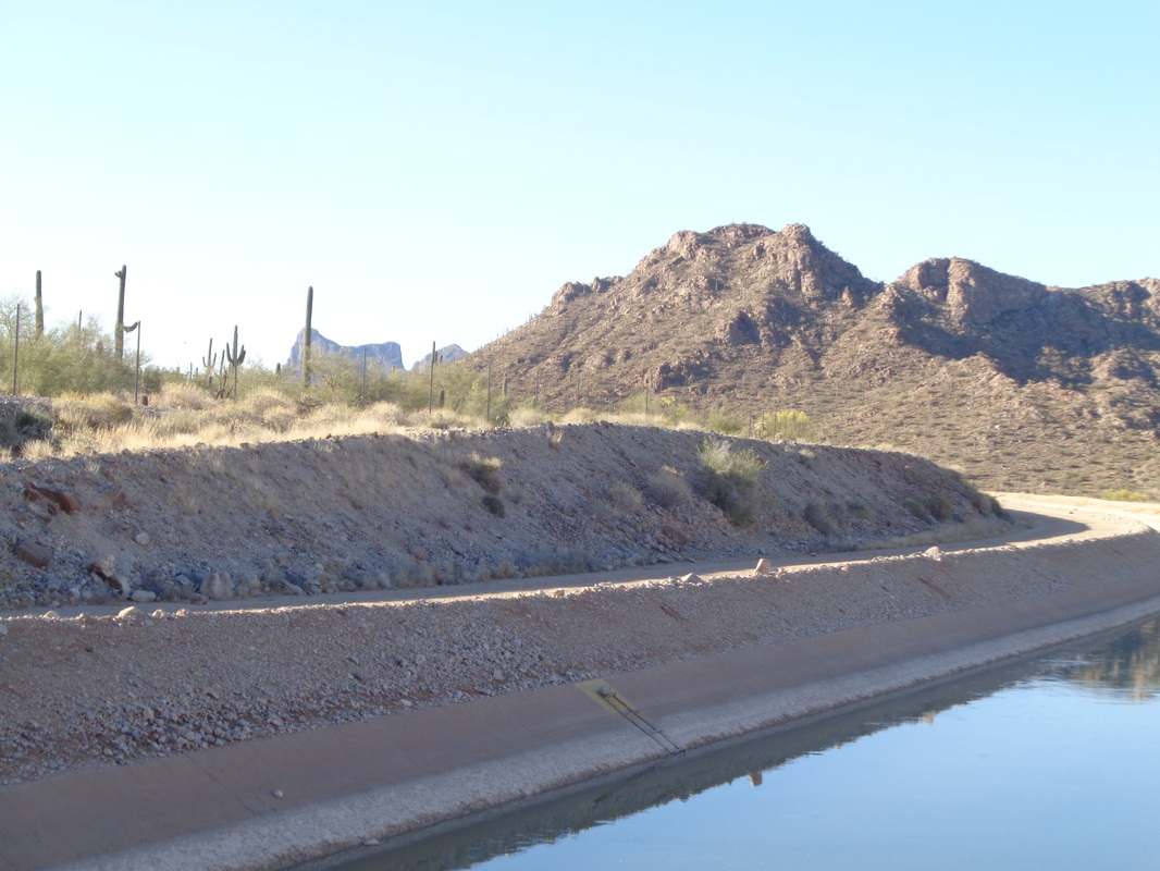
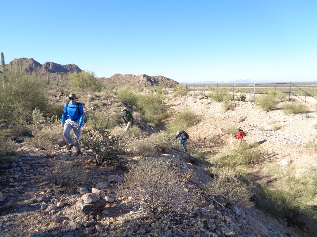
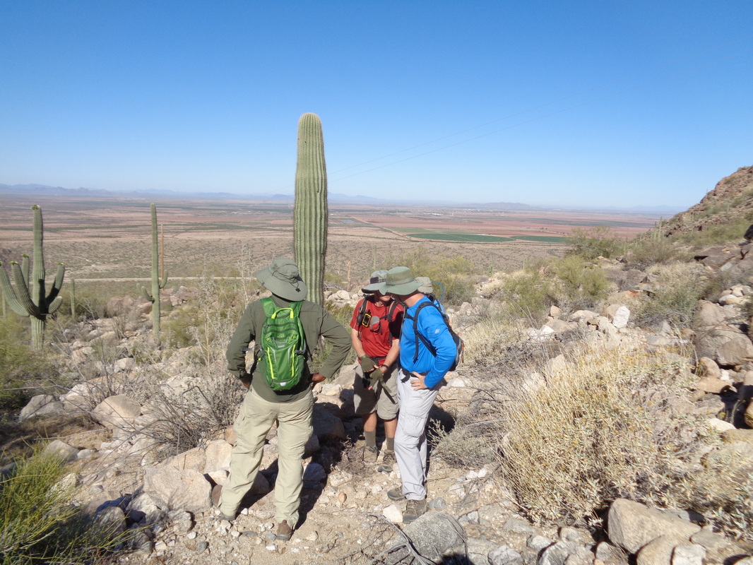
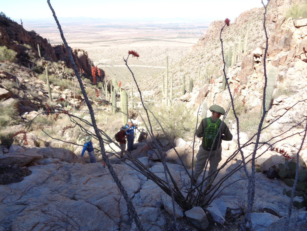
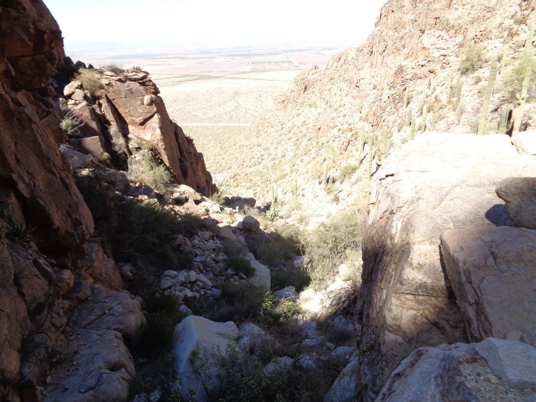
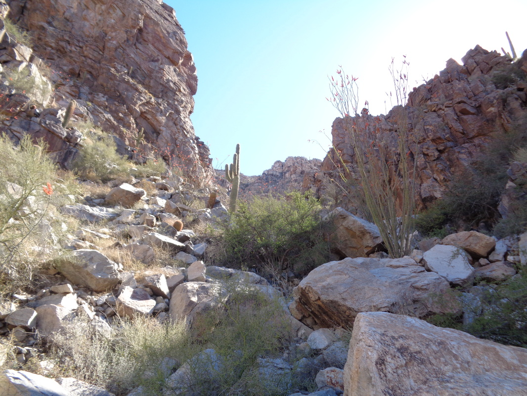
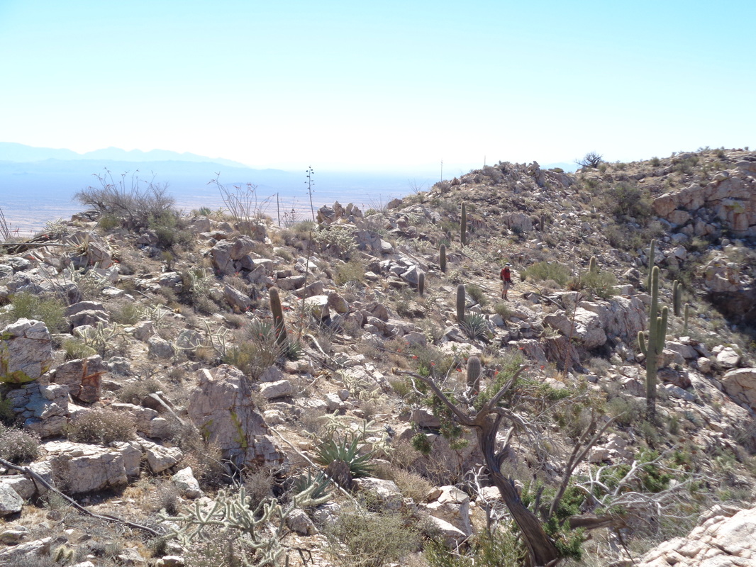
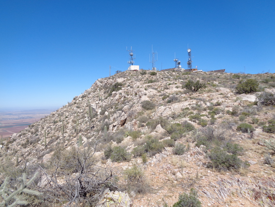
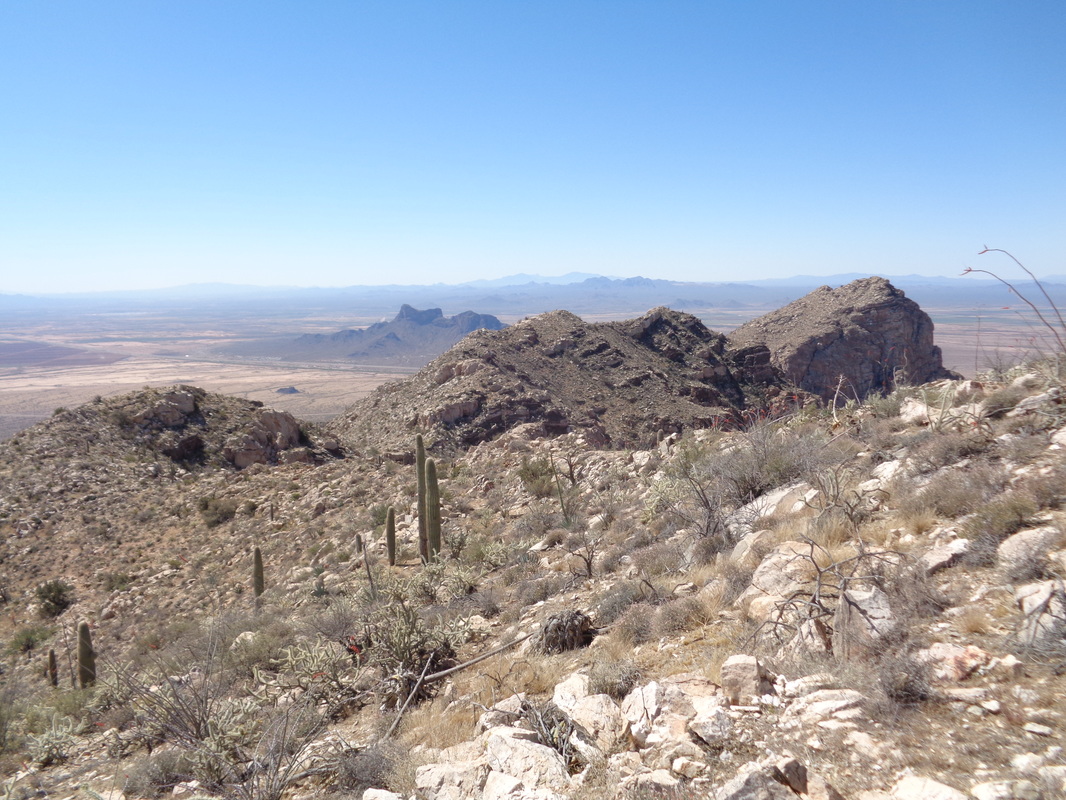
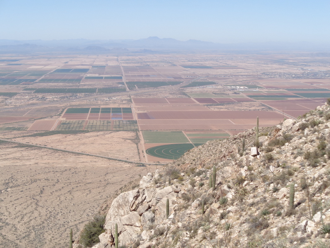
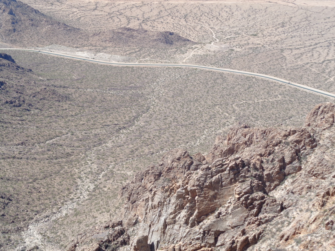
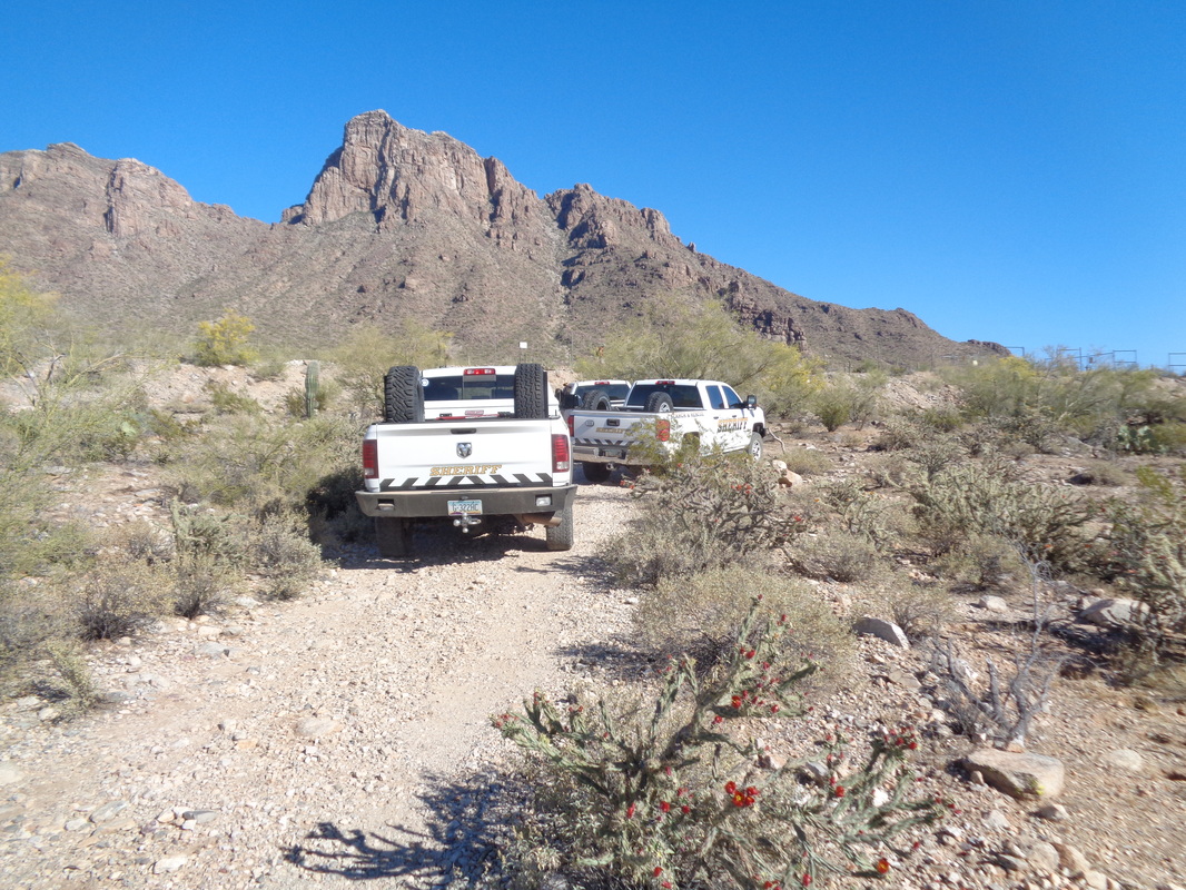
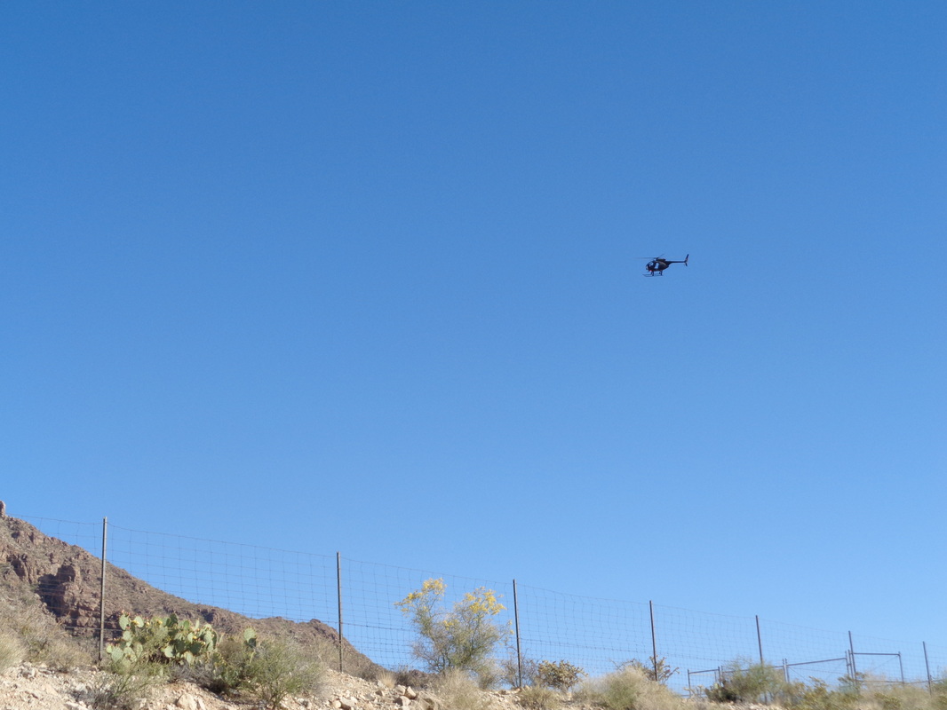
Dawn of another beautiful morning. I drive west on Tangerine Road toward I-10 and a short drive north to meet with a group who are driving south from Phoenix. Can you spot the balloons, one to the left of Sombrero Peak, one to the right of Panther Peak? There are a couple of ways to reach the trail head but each requires navigating a maze of dirt roads, the condition of which worsens as you close on the destination. I got lucky and made it to within 3/4 of a mile, grabbed all my stuff and walked to.... ....a pedestrian bridge over the 336 mile long aqueduct that delivers water to southern Arizona. In the distance, left of center is Picacho Peak, a popular hike and from that summit I have many times looked across I-10 at the remote Newman Peak. I was glad to have the opportunity to finally reach the summit and had purchased an AZ State access permit to do so. So, the real story begins. One Phoenix group made it to the trail head and joined me for a bushwhack to the summit. Meantime, two others, Rick & Jared, failed to reach the trail head so abandoned their vehicle and struck out across the desert with the intent to catch us. We began at approximately 8:15am. We paused to regroup. Note the head wear similarity. Out here, a broad rimmed hat is a necessity. While today's temperature was forecast to be mid 80's, the condition of the trail made it wise to wear long pants and long sleeved shirts. Later, we paused to regroup again and did so another time too. People who organize these hikes go into detail about the trail, the distance, the elevation gain, the conditions, the expected hike time, etc... all for the purpose of making sure those who show up understand the challenge. Unfortunately, too often someone shows who over estimates their ability or some how, despite the description, under estimates the challenge. It is somewhat analogous to a group ride with a stated distance and intensity level, someone shows who can't keep up and then complains after the fact that no one waited. That happened today. I led the way up a very rough, boulder filled ravine. At some point, I unknowingly walked by a rock cairn indicating a turn to the left out of our present ravine and kept going straight. Soon I noticed there were no cairns (2-4 rocks stacked together indicating a direction one should go) and Jason's gps device was checked. It appeared we were ok so I kept going. The member of our group on whom we frequently waited, was advised to turn around and return to the trail head. As I was ahead of the others, I did not hear this but later there was mutual agreement among those who were there that this was said. We slowly closed on the distant ridge line. A nasty bush out here, Catclaw, was prevalent throughout, along with the odd cactus, other pointy plants, loose boulders, etc... It was fun although at one point I stepped on a large rock, hit the tipping point just wrong and the edge slammed into my shin. It felt so good when the pain finally dissipated but that took awhile. At some point, I went to the left up a rocky draw while Jason stayed in a right draw and we emerged on the ridge line...hooray. Jason waited on two others, Peter and Todd while I headed toward.... ....the summit where there is a fence enclosed area with helicopter landing pad and various buildings and satellites. Back in the 1930's a beacon was installed so that night time flights between Los Angeles and El Paso were enabled. The summit was visited every couple of weeks and a rough trail was constructed and reportedly remnants of the trail can still be found. It caused us some consternation when we were unable to find any of it. Reaching the summit, we were now 1000' higher than Picacho Peak in the distance. To the west, flat land is being used to grow a variety of crops. It had taken me about 2:30 to reach the summit. Had I stayed on the cairn guided route, our time would have been much faster and somewhat easier. The others, having regrouped at the ridge line sans the hiker who we thought had turned around, arrived 35 minutes later. Then, how about that, Rick and Jared summited from a direction 180 degrees different from ours! Plus, they had, mostly, followed the correct route and so now we were good for descending, together, via the shorter and intended route. We hung around for about 45 minutes before beginning our descent. There in the distance is the aqueduct and slightly to the right the bridge and the wash we had followed before beginning the steep ascent up the ravine. The way down was sketchy, lots of loose gravel, rocks, scree, etc... but we made it. Uh oh, the hiker we thought we had turned around, was not at the jeep. It was approximately 2:30pm. We could not figure out what had happened to him but concluded he had fallen and was unable to get out. How else to explain it? We sat, discussed and there was certainly a willingness to look for him but we did not have the fluids to support the mission. After 30 minutes we concluded the only thing to do was.... ...call Search and Recue, SAR. By the way, we had attempted to contact him but he had turned his cell phone off we later learned (geesh). Three sheriff trucks arrived, confirmed the details called in a helicopter who.... ...began circling the area. At 4:30, the hiker emerged from the wilderness on his own. He was upset that we had not waited for him, saying "What is the point of a group hike if we don't hike as a group." and telling the sheriff, "I paused to put in my ear buds and they streaked right by me." Instead of turning around as he had been asked to do, he kept going, reached the summit and then returned via that ravine, ouch! There is much more that can be said but his behavior and comments had alienated us all and arrangements were made with the sheriff to return the hiker to his car, parked at the highway. Jason gave me a lift to my car and thus the end of a long day, nevertheless a fun one.
0 Comments
Leave a Reply. |
Categories
All
Archives
November 2023
|
