|
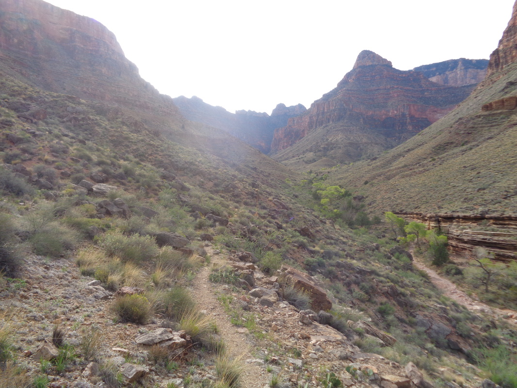
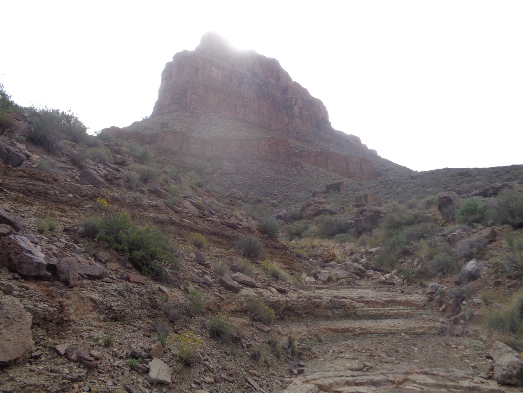
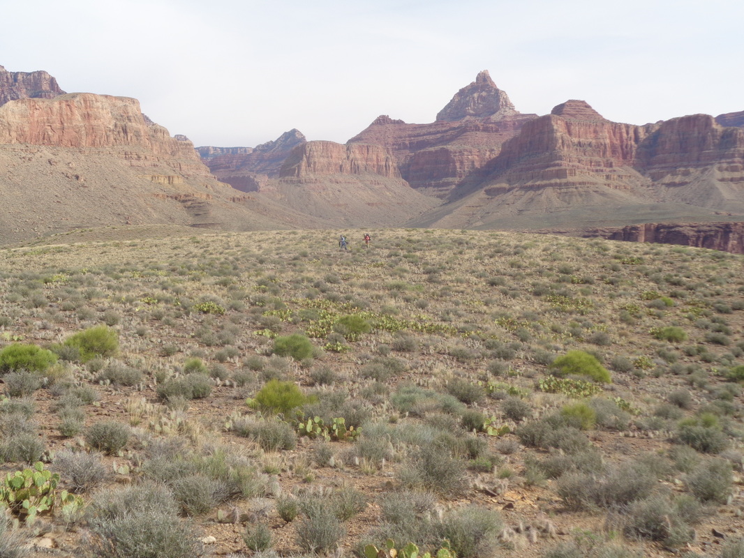
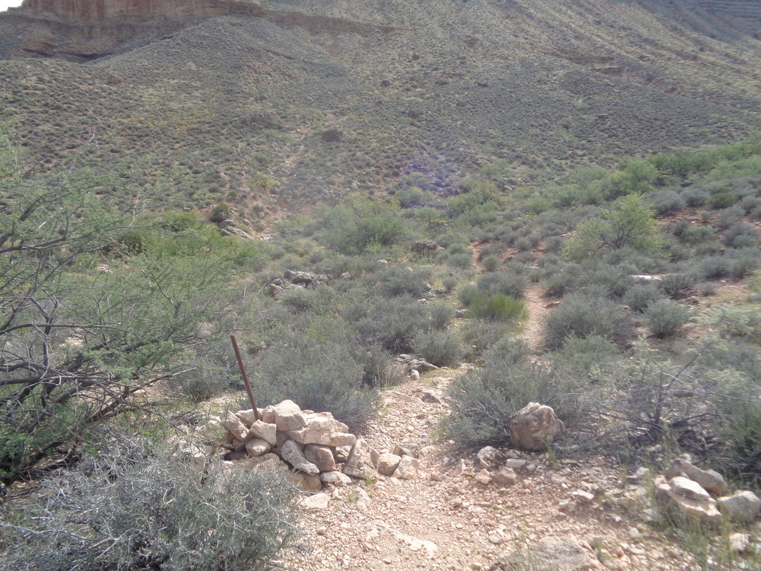
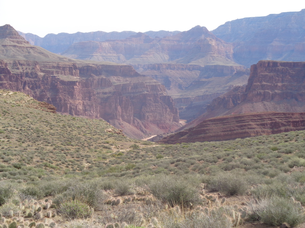
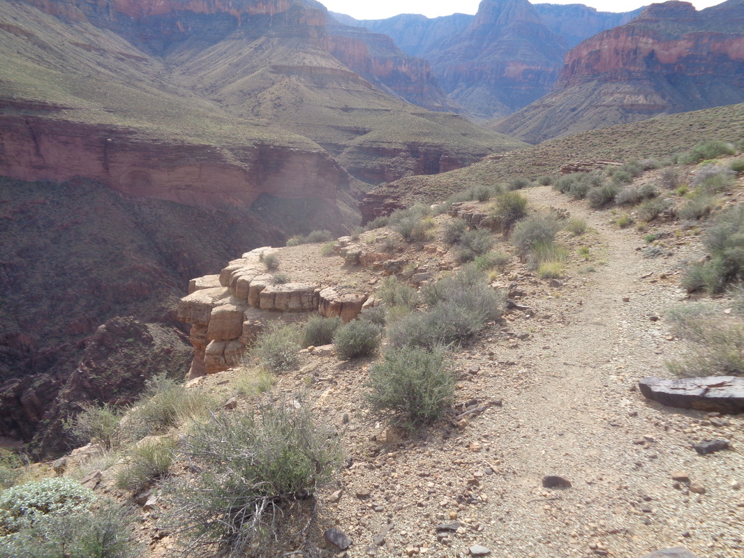
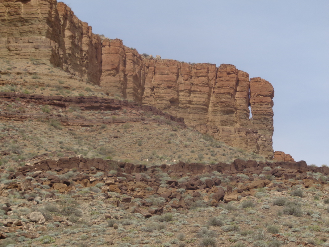
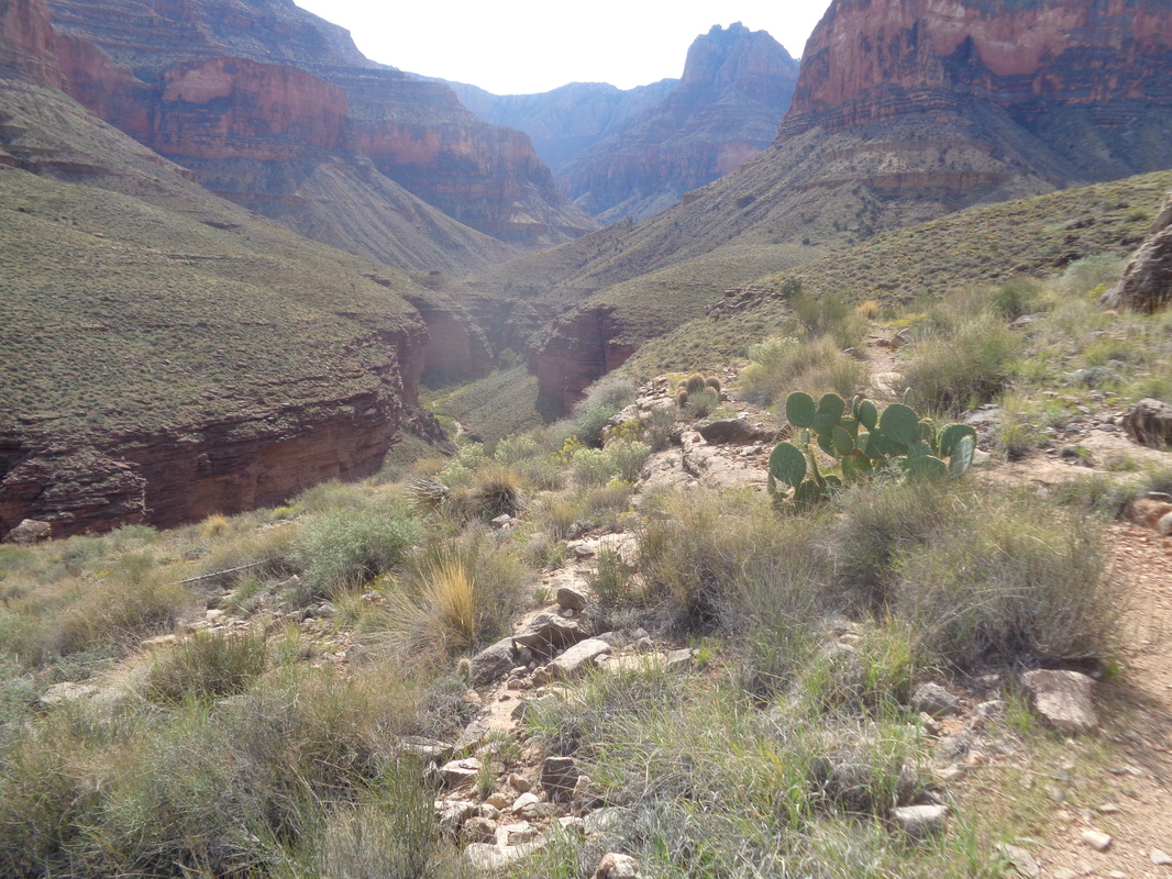
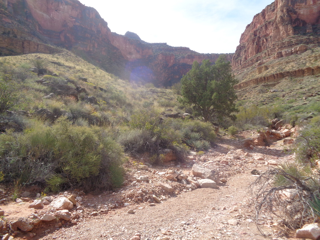
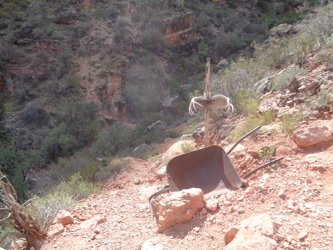
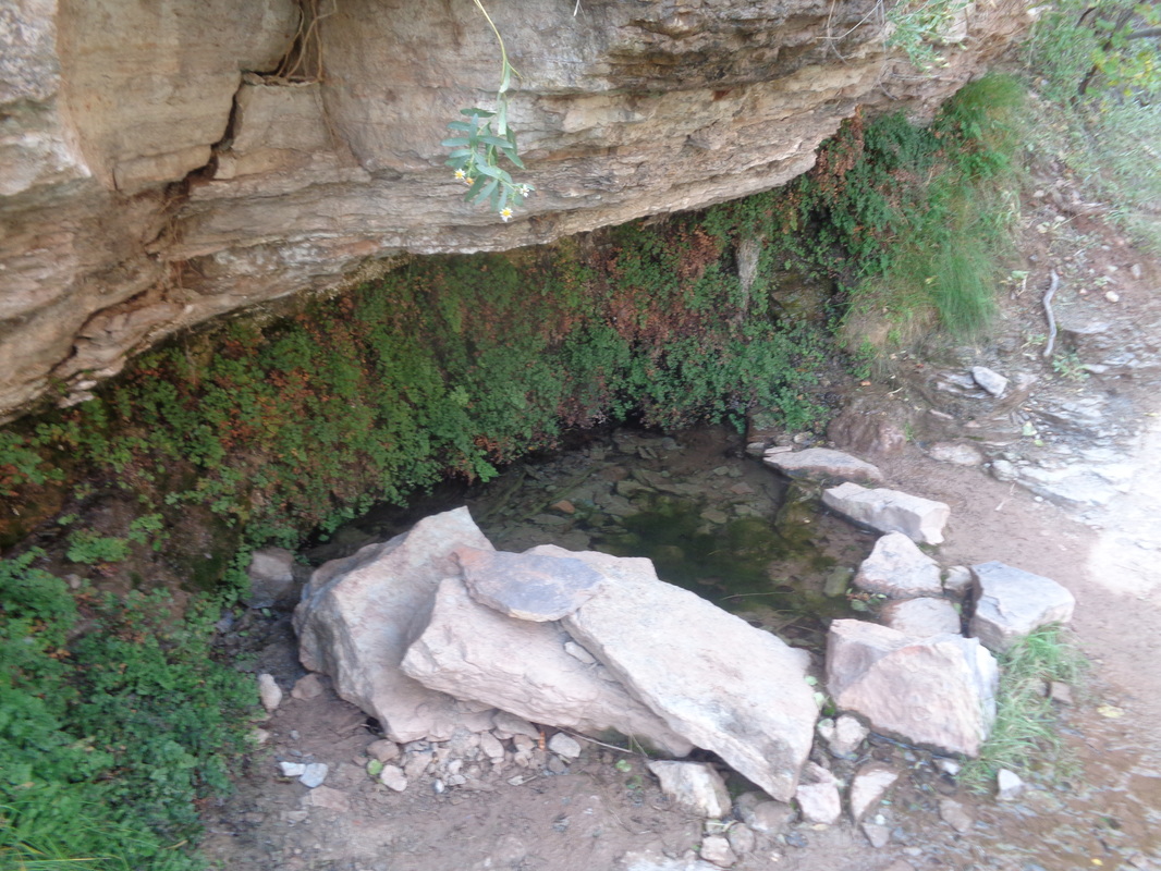
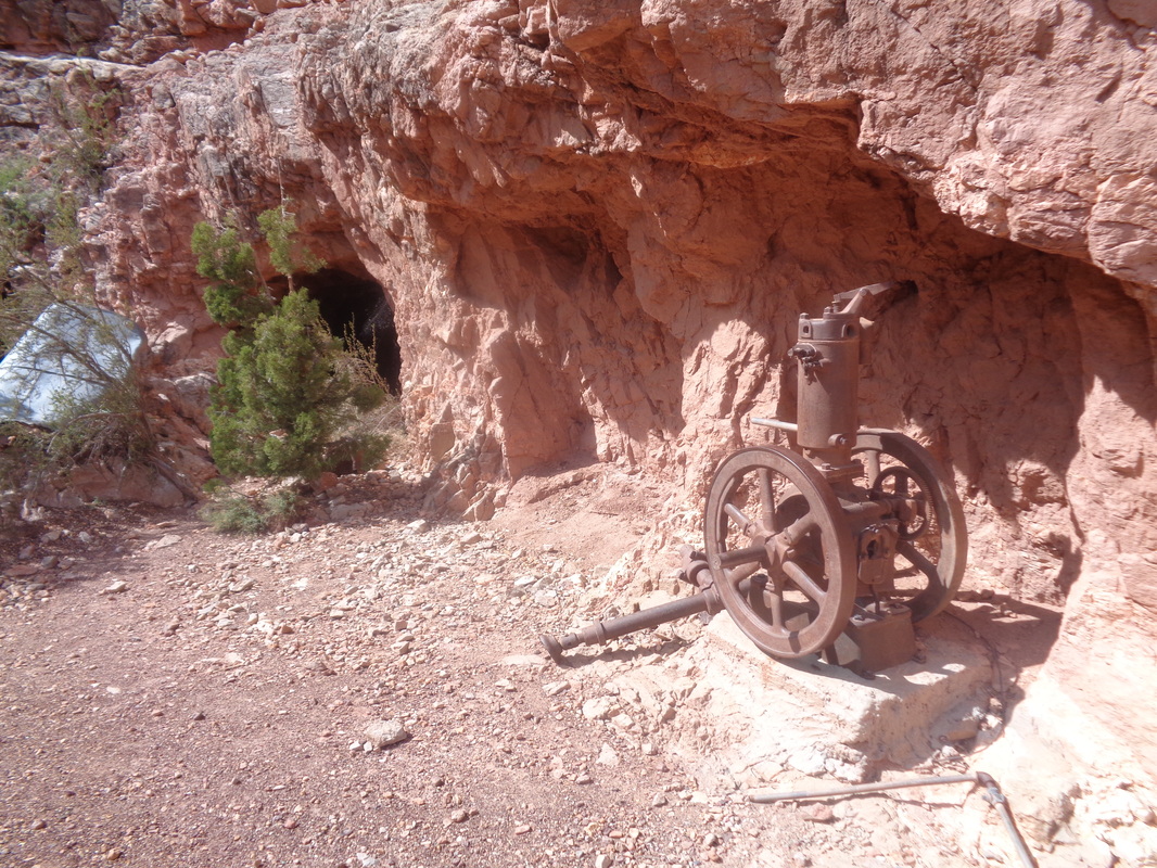
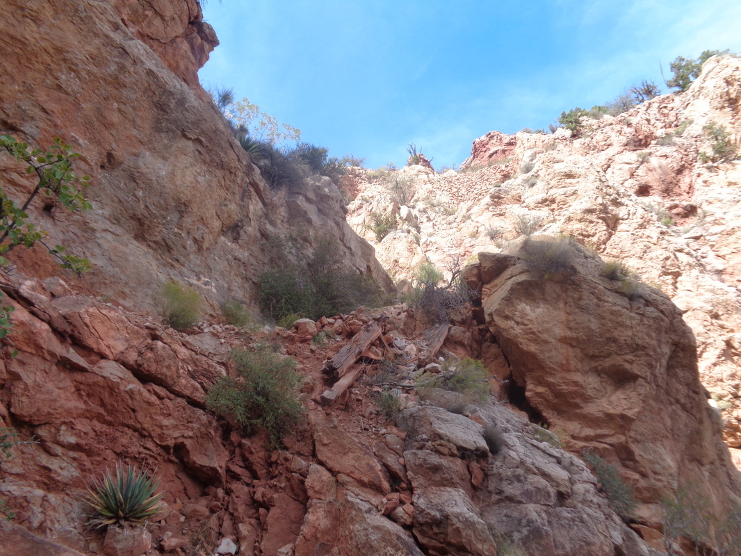
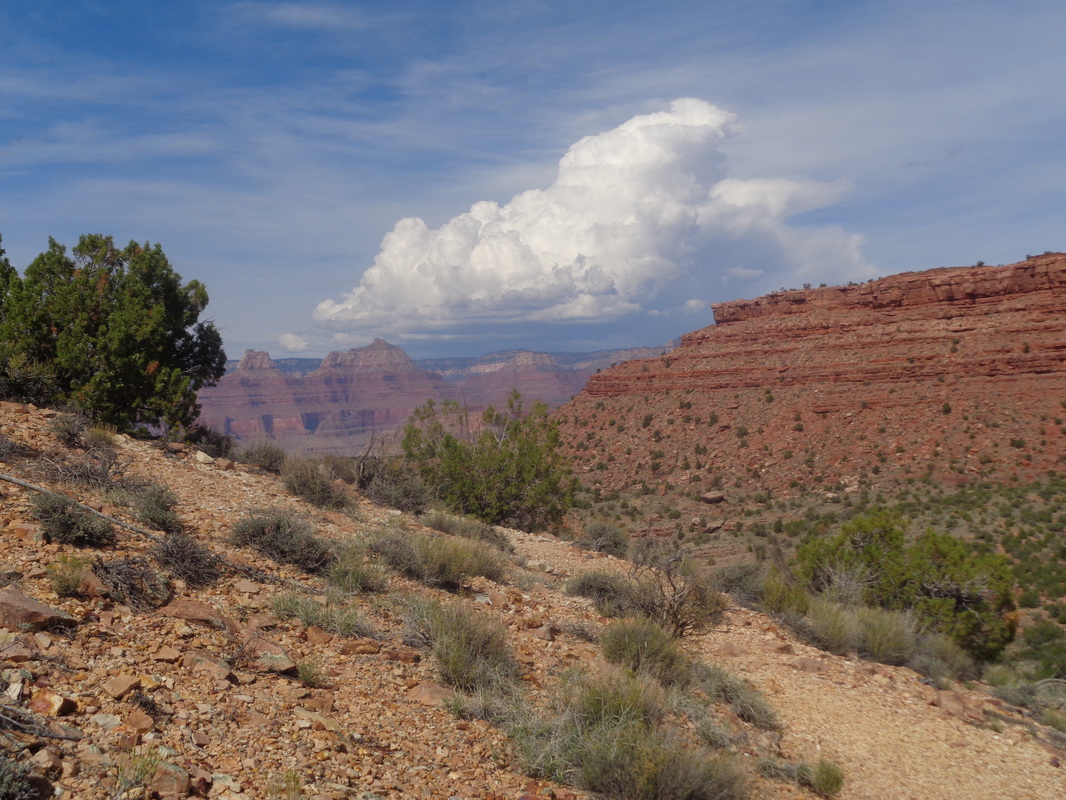
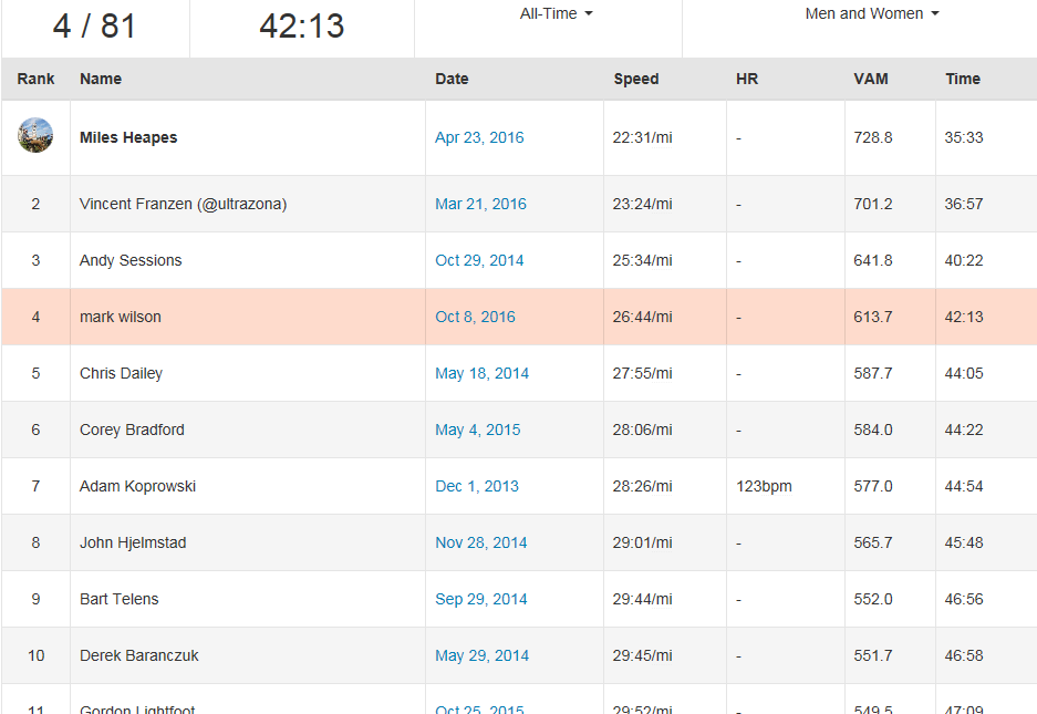
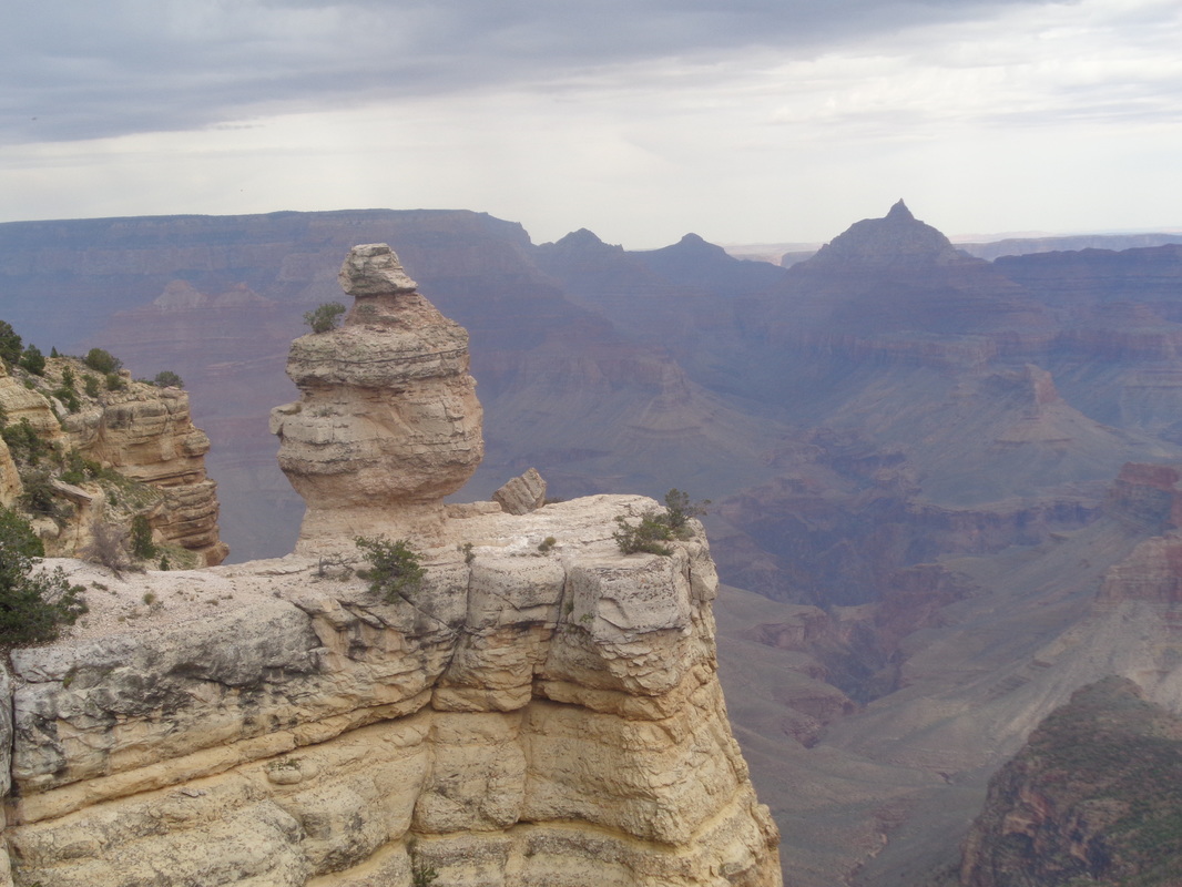
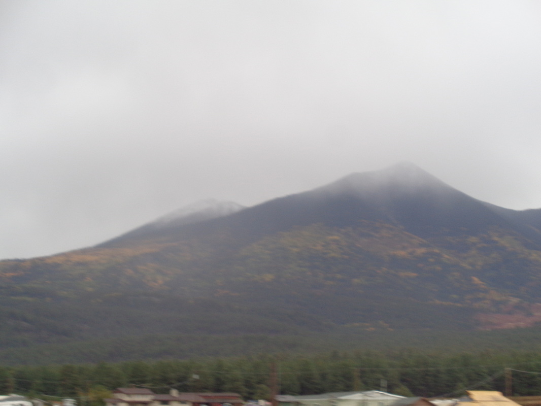
Descending the Grandview Trail, hanging a left at the sign for Cottonwood Creek, reaching the Tonto Trail intersection and bearing right, I am on my way toward the Tonto Plateau or Platform. The cliffs of the mesa are on my right. In the back of my mind, I knew that always keeping the mesa to my right, what now could possibly go wrong? Mentally, I w as doing a victory lap and planning my post-hike meal...... Soon after starting the Tonto Trail, I enter a minor drainage. A trail splits slightly to the right but there is also a distinct trail branching to the left. Hmmmm, I don't recall reading about this and keep walking to the right. Soon I stop, unload both packs, sit, drink, eat a snack and reread pages I had torn from the Falcon Guides, "Hiking Grand Canyon National Park" about this loop. Nothing about this "V" option. I consult my Garmin etrax and dang! It shows me off the route by a significant margin. Thus I became a bit panicky. I retraced my steps to the "V" but the Garmin showed no good progress toward the route displayed on the screen. I know there is a route coming off the middle of the horseshoe that intersects the Tonto and conclude I have reached that point (wrong). If I am wrong, worse case is I ascend the mesa up the middle and lose some distance but at least I am safe. Then, out of the blue..... ....I spot two backpackers walking across the plateau toward me. Sweet relief if they can solve the mystery. They had walked to the rim of the plateau to see if they could see into the inner gorge and the Colorado River (you can). I asked if I was on the Tonto Trail. They confirmed that I was!!! All I can think is that left portion of the "V" is a way down to the river. As for being off the Garmin track, I was on the route so the person who had shared the route had been off route or there was a glitch of some sort. Soon, the final piece of the puzzle is solved, the piece of rebar or drill steel, extended from the pile of rocks indicates the junction where one can opt off the Tonto and gain the middle of the mesa in 1 mile and 1000' of vertical climbing. I'll admit, after my panicky moment, I was tempted but I plodded on, following the Tonto Trail. The Tonto Trail, this portion of it, is gently rolling with marvelous views. This is the only time I could see the Colorado River. Odd since every other hike I have done within the Canyon included a visit to the river. Eventually, the trail begins to bend to the south, skirting the.... ...Hance Creek Canyon. If you are wondering, there was no exposure here either except when I walked to the rim in a couple of places. Beautiful. I came across something I see in my Ohio yard all the time, groups of black pellets which are deer droppings. They are fresh so I stop, look up and how about that..... ....7 Bighorns running (they are just cresting that wall in the middle). Later I expanded the image and confirmed the sighting, rather than mule deer or something similar. They eventually reached the base of the orange outcropping and disappeared. The trail continues to skirt Hance Creek Canyon and my next challenge is not to walk past the trail that takes one to the top of the mesa, completing my loop. Just as the trail begins to bend east and I think I have missed the trail option.... ....I enter this drainage and see a couple of cairns (piles of rocks) indicating a side trail. Plus, there is a rock with a splash of green paint. I am relieved so unload everything and really drink and eat because I am not going to wander eastward, as has been done, run out of fuel and expire. I check the Garmin...this is it!!!! I repack and head off but the trail is very faint and I find that curious. Within a few more steps I access a well worn trail and conclude the actual trail junction must have been a few yards farther east on the Tonto Trail but someone created a brief short cut. I am now on the East spur trail that leads me by.... ...Miner's Spring or Page Spring as it is also known. A left turn here takes me quickly to.... ....this alcove which I understand is a reliable source of water year round. While the dripping water would take forever to fill a bottle, there is a pool from which you could scoop plenty. I rejoin the main trail and continue up, passing... .....several old mines. Entrances are blocked which is probably a good idea. On I go, steeply usually as there is about a 1000' gain to the mesa rim. I reach.... ...a couple of places where I lean toward the wall cause the trail is a bit narrow and some exposure but not too bad. The busy beavers of the Park service are active here too, improving the trail. I have mixed feelings about this. I top out on the mesa and discover I am quite a distance above the left branching Cottonwood Creek trail I previously descended. I had cached a couple of bottles of fluid here and it took awhile to find but eventually did. I was a happy camper and begin the ascent of Grandview Trail, a 3 mile slog of steepness. There were quite a few fellow hikers and thick clouds were moving in too. Having started at around 7:30, I emerge at around 2:30pm. My hiking/moving time for the entire 13.6 mile loop was 6:05 but a total time of 7:07 with all the time pondering my predicament on the plateau and refueling. Total climbing was 4100'. I uploaded the route to Strava and was surprised to discover there was a 1.5 mile timed segment for part of the Granview Trail and ... I came in 4th out of 81. Wish I had known there was a measured segment. Curious and so I checked, the 3 people above me hit the segment at around mile 4 of their hike while my legs were at mile 12. I paused at the rim, swarming with rim gawkers and their reaction is always enjoyable to watch. More clouds arrived overhead as I took a last long look. It began to rain and as I headed to Oro Valley, I.... ...passed Humphrey's Peak. Here, I was at 8000' and above me, snow had begun to accumulate around the peak. Well, thanks for reading and time to begin planning the next visit. The confluence of the little and big Colorado river is really calling to me.
1 Comment
Phil Livingston
10/10/2016 02:55:04 pm
That was a very informative write-up with wonderful photos. Beautiful scenery, both flora and fauna. I am glad you found your way there and back safely.
Reply
Leave a Reply. |
Categories
All
Archives
November 2023
|
