|
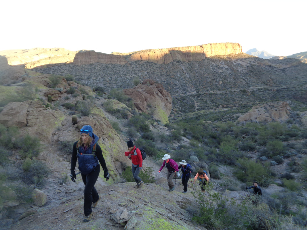
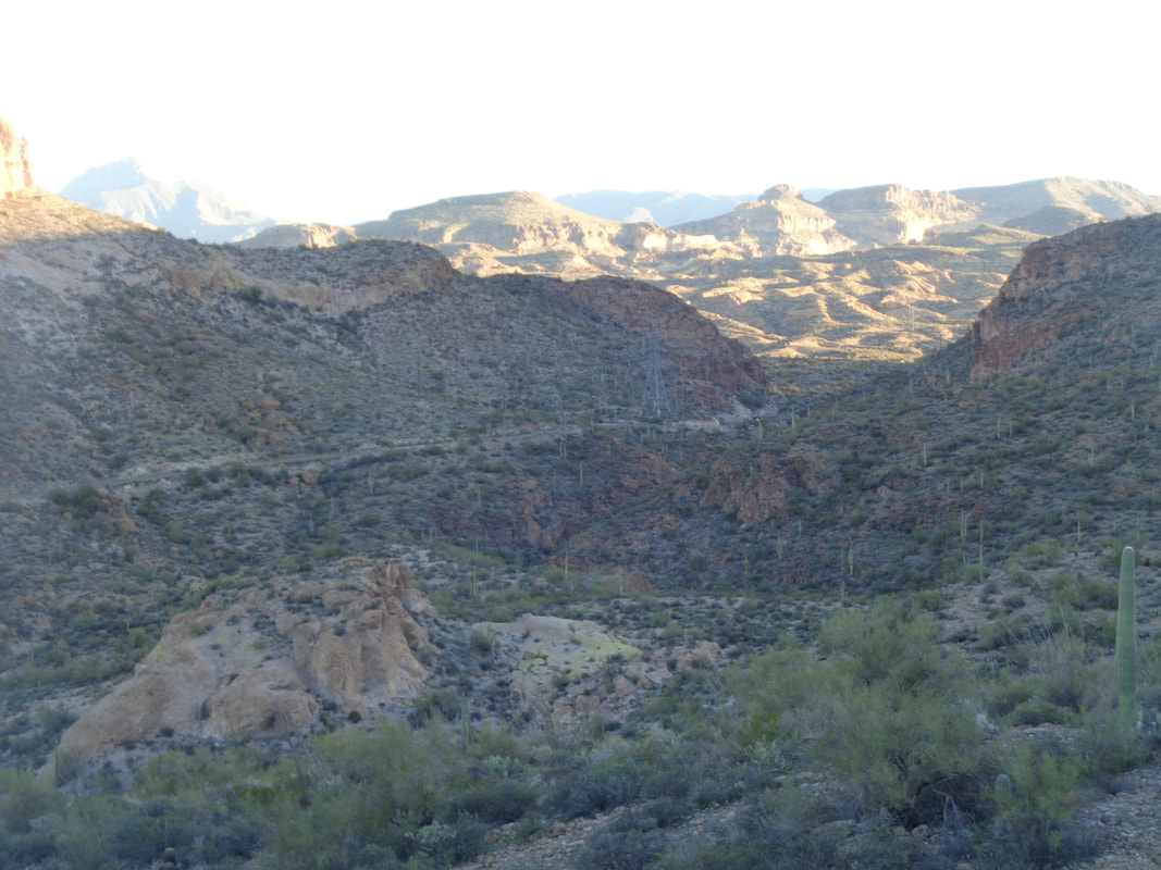
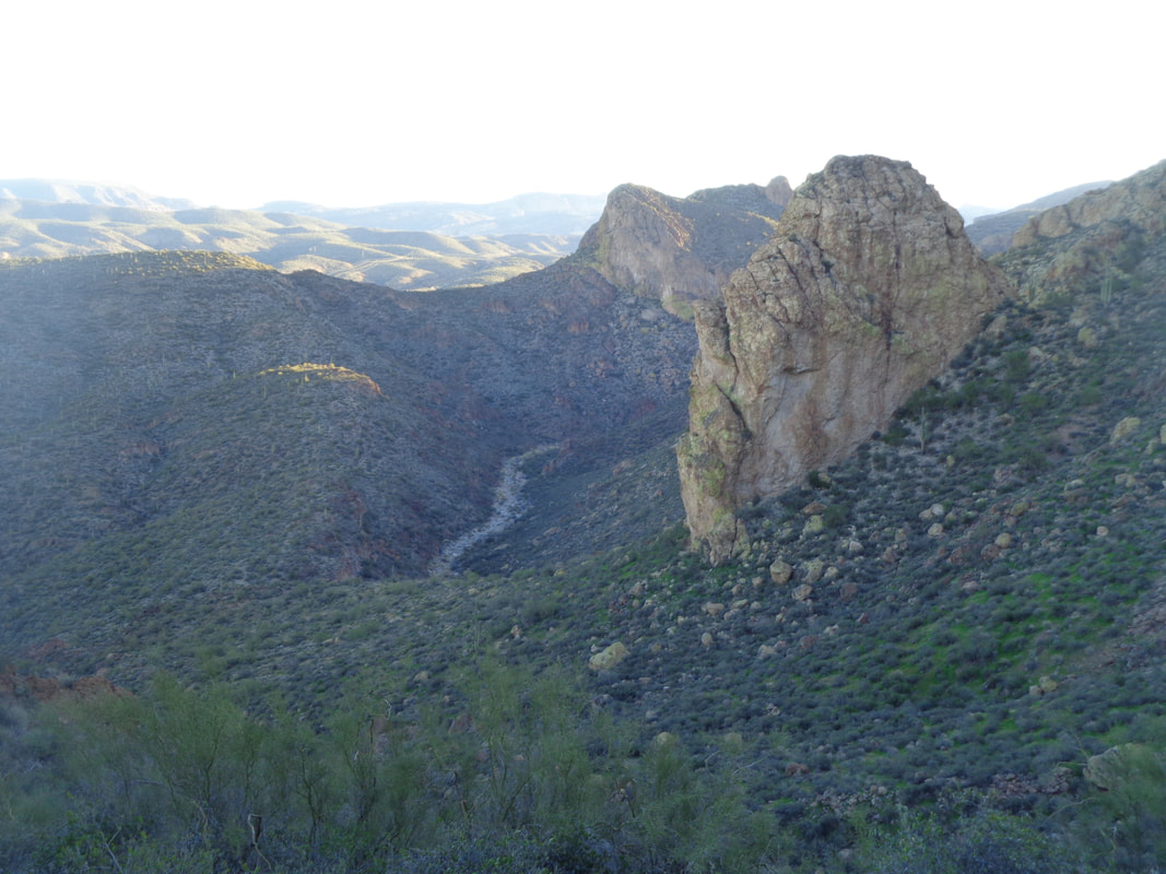
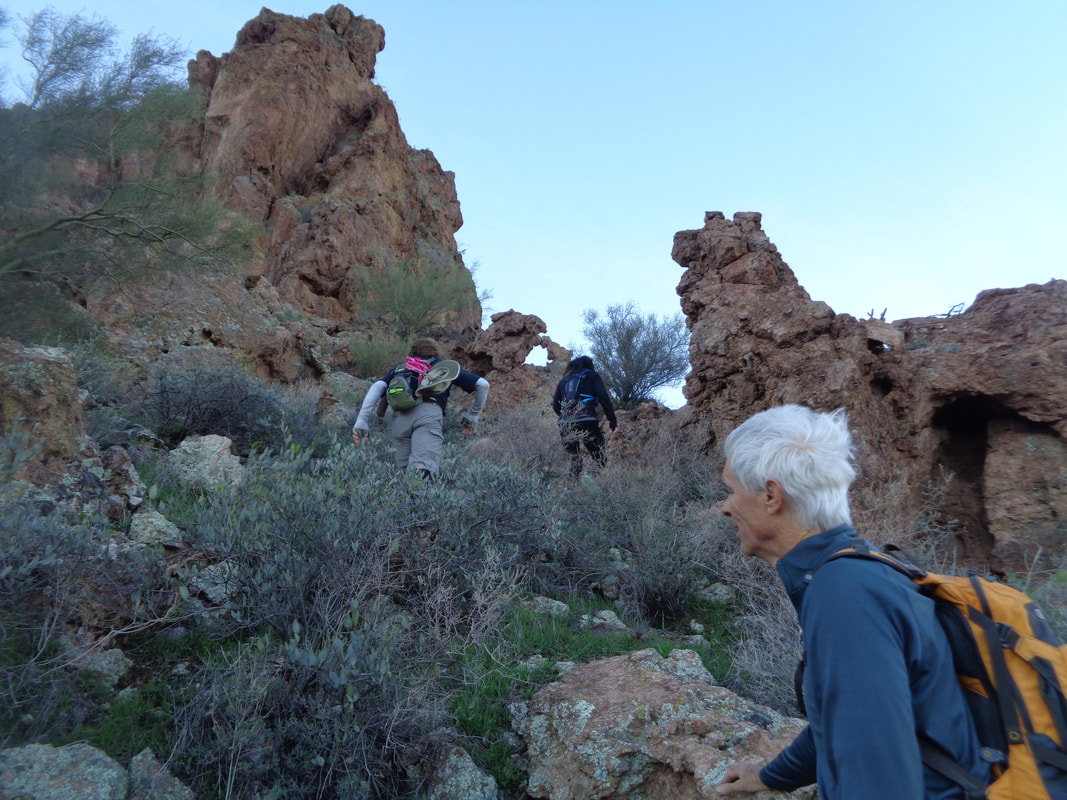
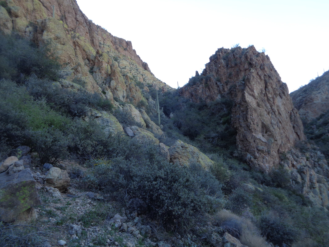
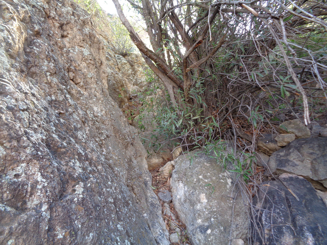
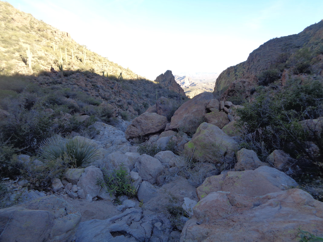
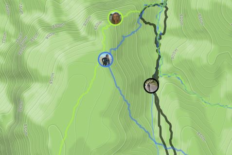
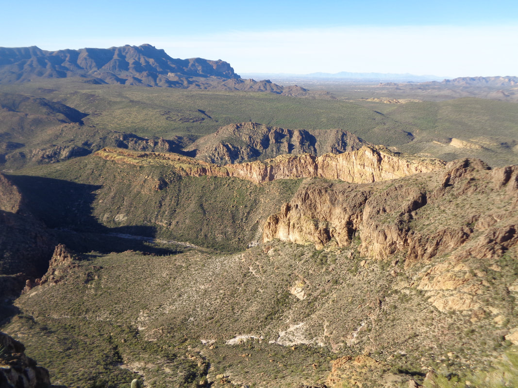
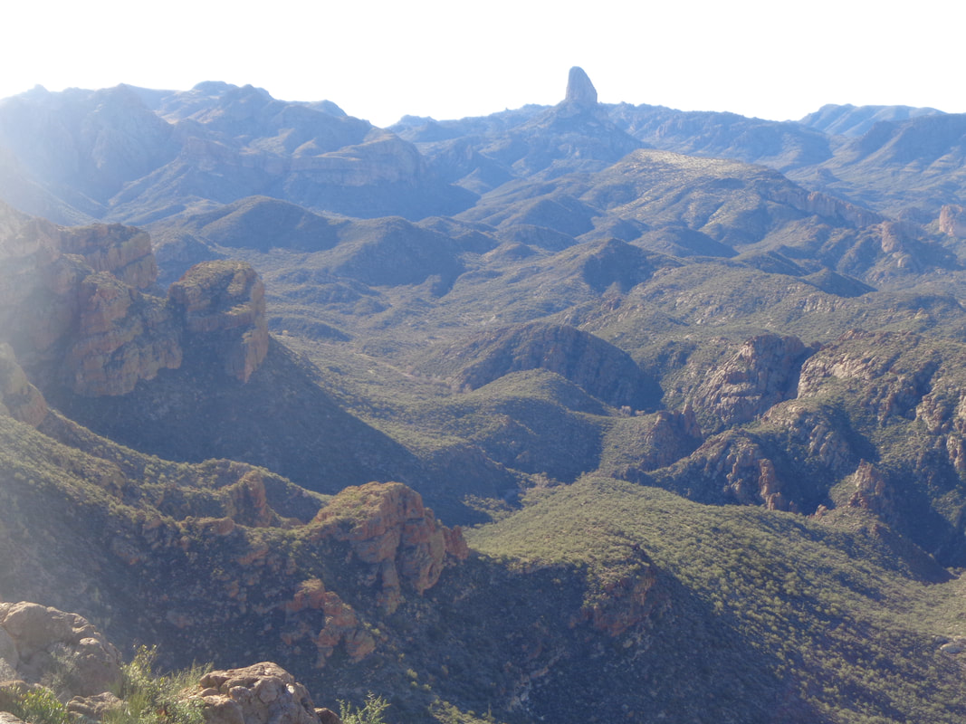
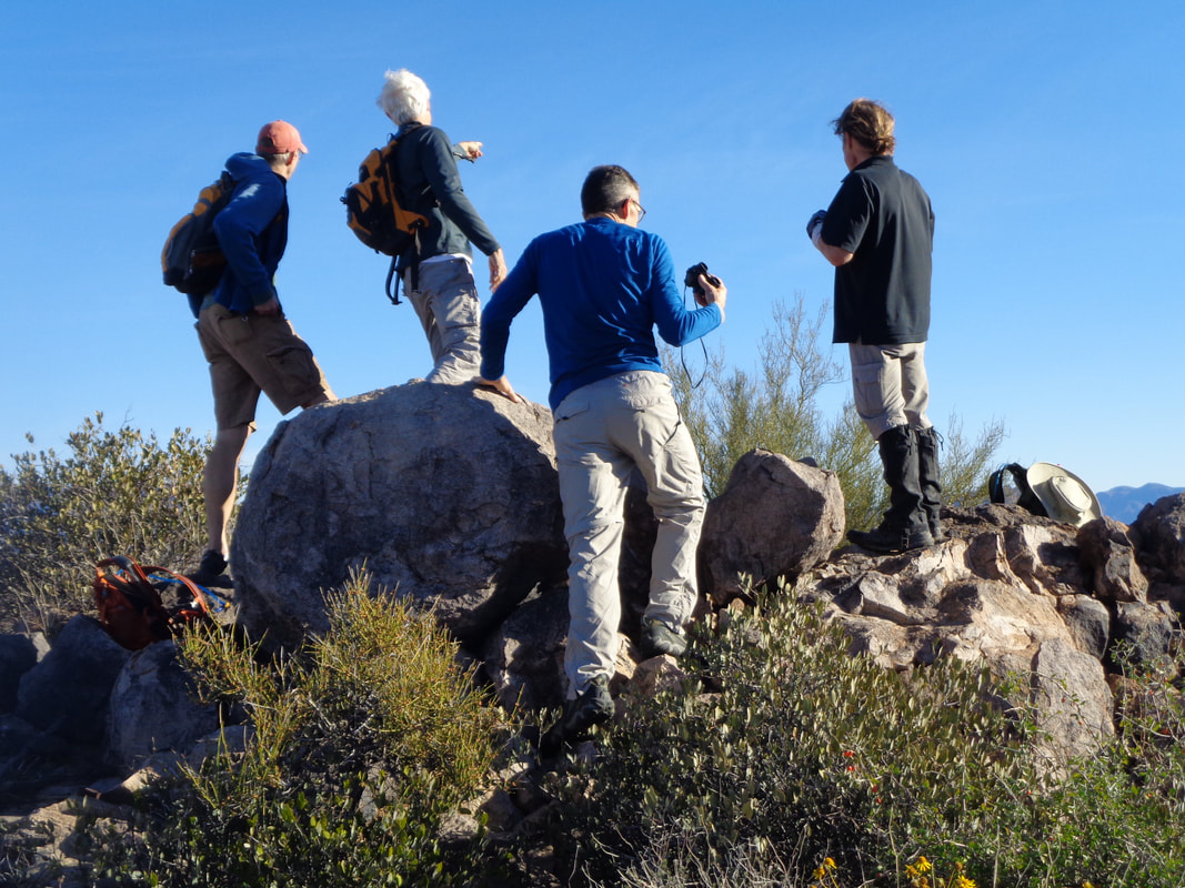
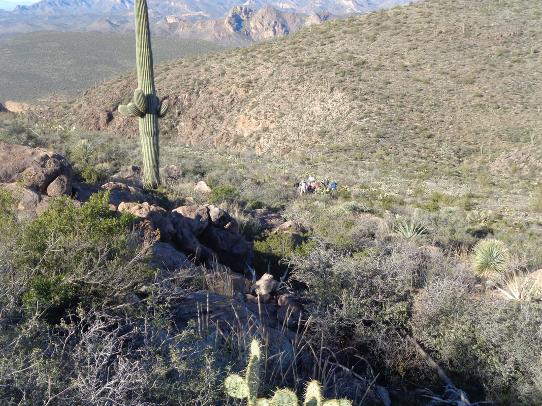
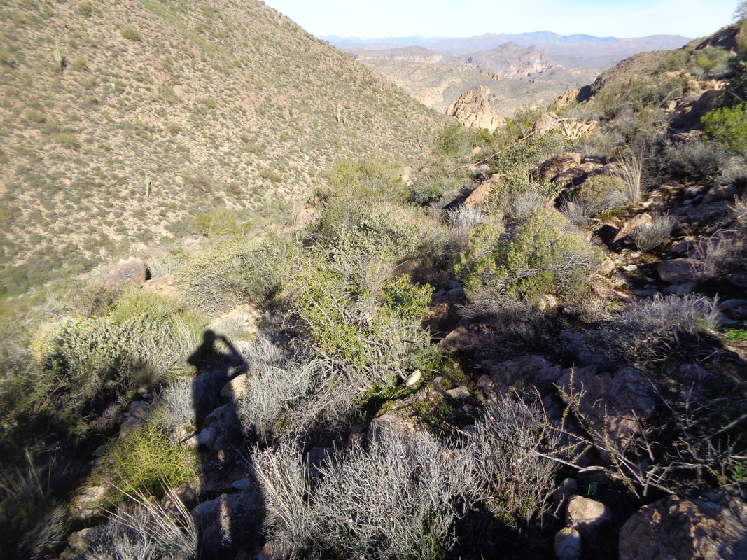
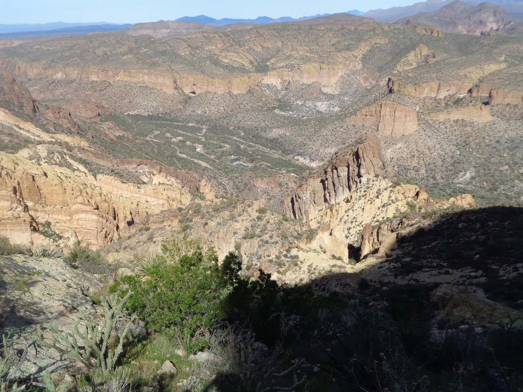
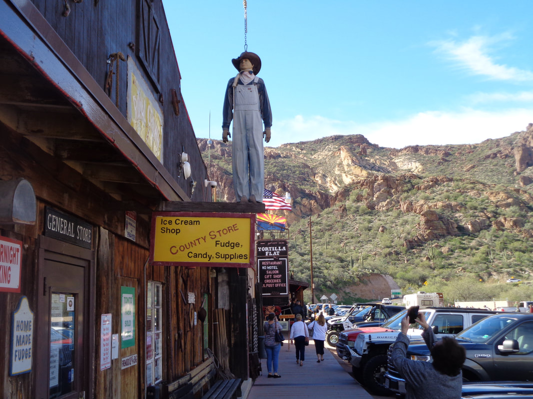
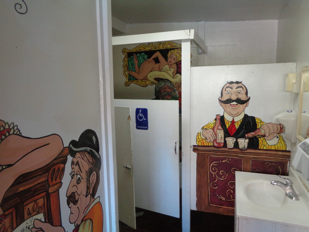
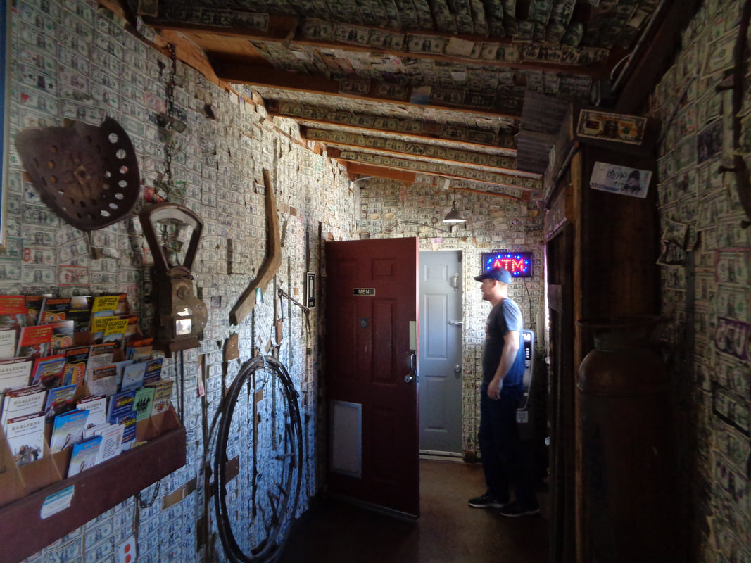
In the car at 5:30am for the long drive to Tortilla Flat, an authentic remnant of an old west town sitting on the historic Apache Trail (St. Rt. 88) and across from Canyon Lake. Our group of 15, led by hike organizer Wade, head into the wilderness following a route that at times is a trail and at times not, requiring some route finding. Above, the rising sun lights the mountains behind us. The colors are in a constant state of flux as both the sun and our group climb higher. As usual with this group, most of my images are taken during the return because going out, the pace makes picture taking a challenge. I think that is Peter's Canyon below us. In the center of the above image is "Fragile Arch", indicating we are near the finish of the initial climb out of the valley. We pause there to examine the small arch and debate whether it is man-made or natural. We agree that the fit of the pieces that form the arch is natural. The route drops into a shallow canyon prior to reaching another saddle and we look and the next challenge. We will forge our way through the brushy area on the left. Wade assures us it is not as bad as it looks and he is correct but it does..... …..get kind of tight in places as we ascend the far slope to a final ridge before dropping into Geronimo Canyon. It's a wee bit rough in this one. This is where things went awry through no fault of Wades. Having been here once before, I thought the Geronimo Head summit was to the left of the canyon after it bends to the left of its course. Well, maybe the below is a better example of what happened next. From Strava, my icon on the right represents Don and me, mistakenly thinking Geronimo Head was the next destination. To my right is Tom and his group of 4, thinking they have made a mistake and now headed directly toward Geronimo Head after bushwhacking on a slope. The lime green icon of Kate represents the others, including Wade. on the correct route. Don and I bear some responsibility for the mess because we were yelling at Tom that he was off route when in fact, he had been mostly on the route until we intervened. Don and me confront brush that prevents further advance in the boulder filled wash. I break left while he breaks right, climbing out of the wash. I am now nearer to Geronimo Head and reach it first where I get a fantastic view of Battleship Mountain, highlighted by it's yellow cliff face. The landscape is stunning in all directions, as always. After a few minutes..... ….Tom's small group arrive and now we see Wade's group, one canyon over and wondering how they had mistakenly gotten so far off track....they weren't. After 20 minutes, we pack up and begin our descent but notice the other group is also up and headed toward us. Makes sense since that was the plan all along and they were.... ….there in the center, on the route. It was windy and kind of cold and I didn't want to linger again so I let them know I was headed back and began the.... ….trek through the above which really isn't as bad as it looks. But, it's not all that good either:) Almost back with some additional hiking and descending ending the 5.5 mile, 2000' elevation gain effort. It's not the distance nor the climbing that makes this a special hike. It's the destination, the route finding and overcoming the obstacles that one finds in the wilderness. Oh, it's about the scratches that at one point had my left hand mostly covered in blood. The prickles of the Cat Claw bush are especially effective at shredding skin and clothing. I put my things away and.... ….walk into Tortilla Flat past a general store and into.... ….the saloon's rest room where I wash off the dried blood that I was unable to previously remove. Interesting décor in there. The saloon's walls are covered with $1 bills. I had kind of promised the group I would buy a round of "snake venom" after the hike but considering the drive and what would have been an hour wait for the group to arrive, I took off. Next time!
0 Comments
Leave a Reply. |
Categories
All
Archives
November 2023
|
