|
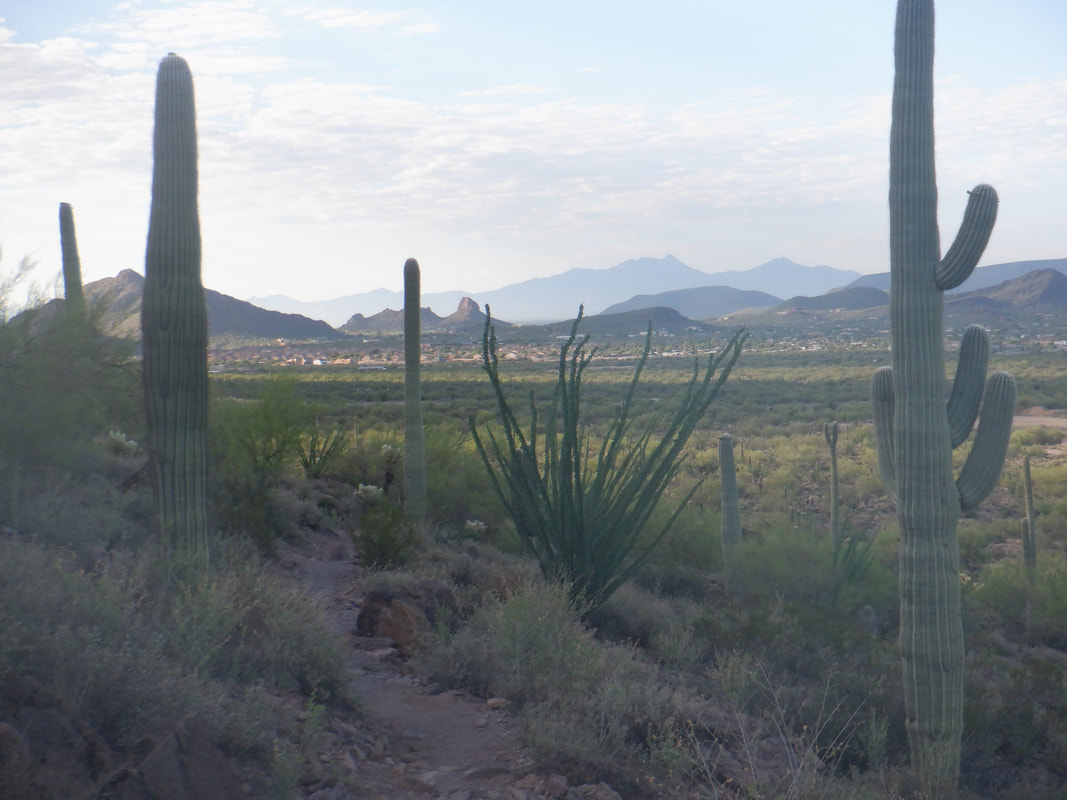
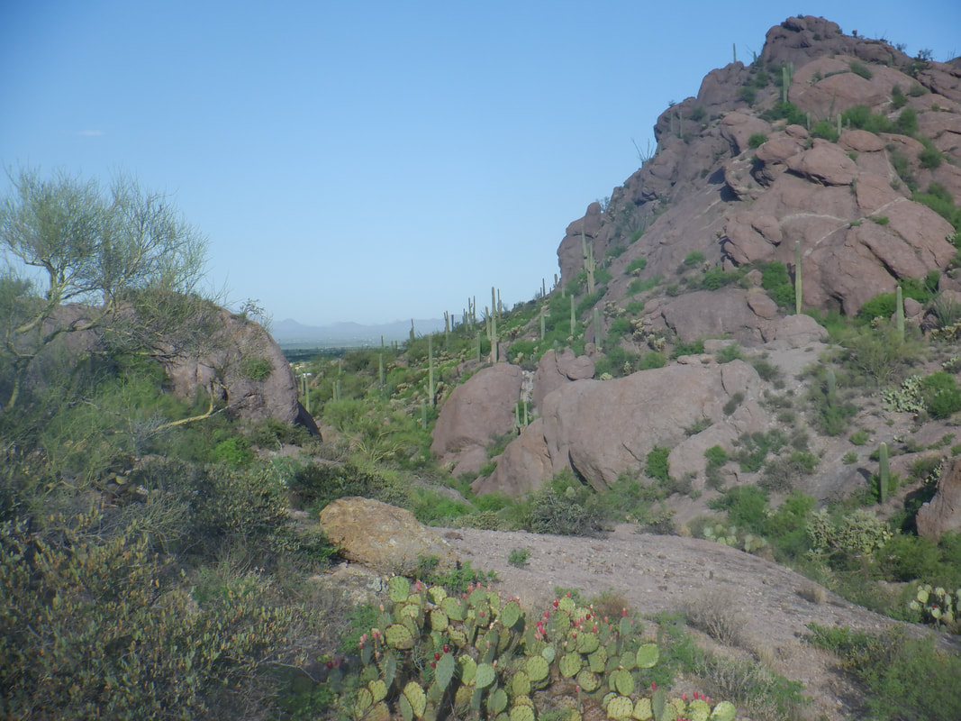
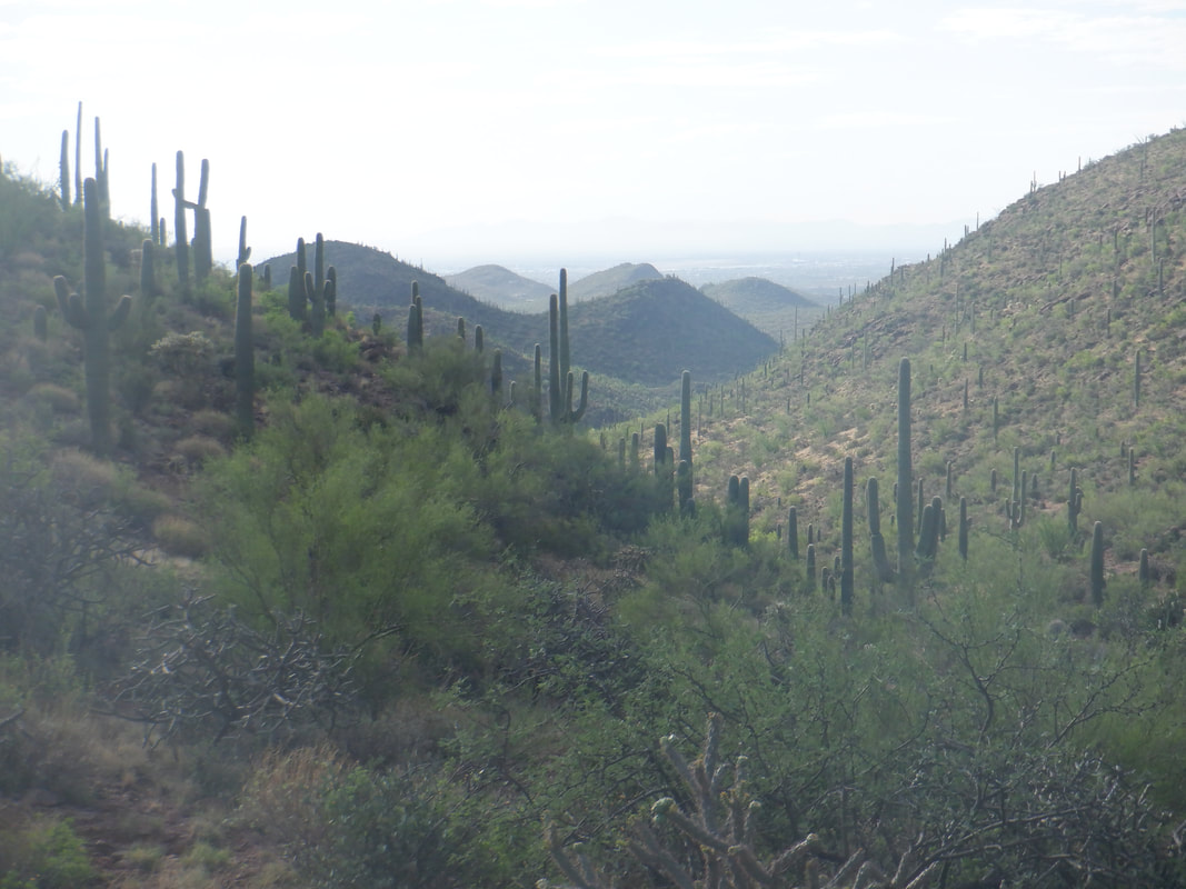
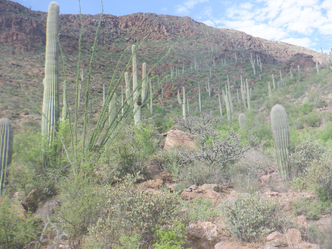
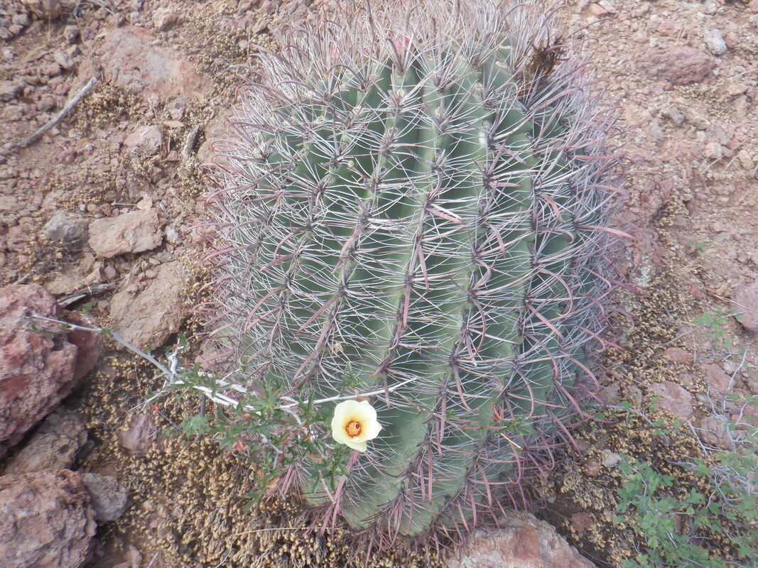
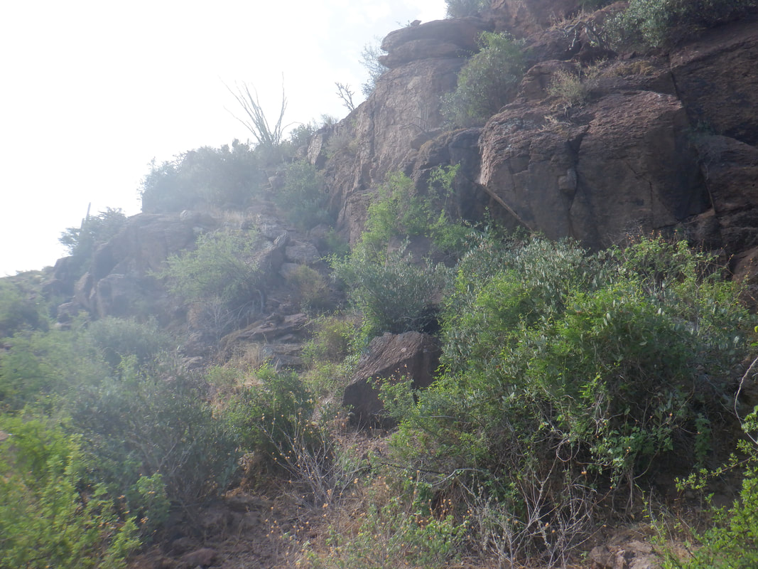
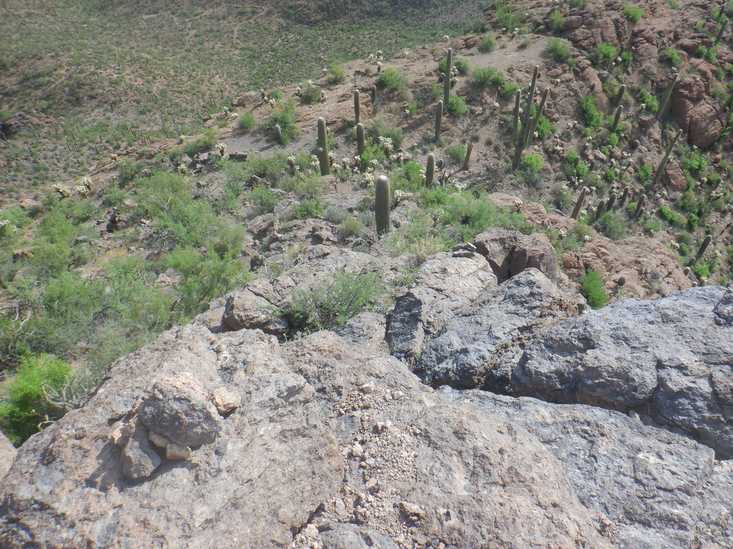
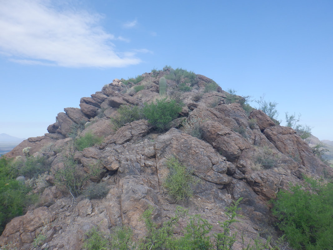
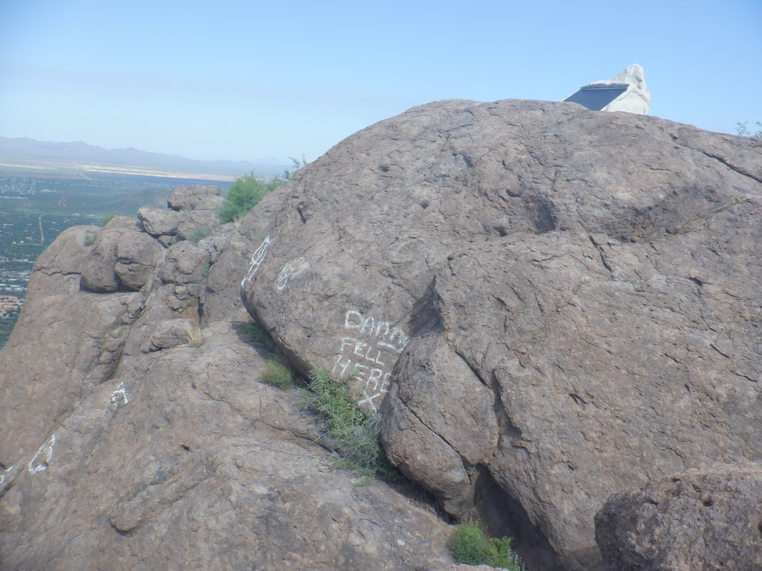
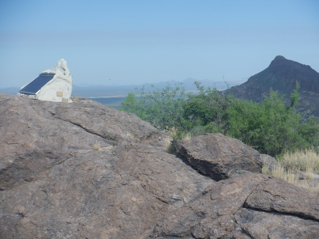
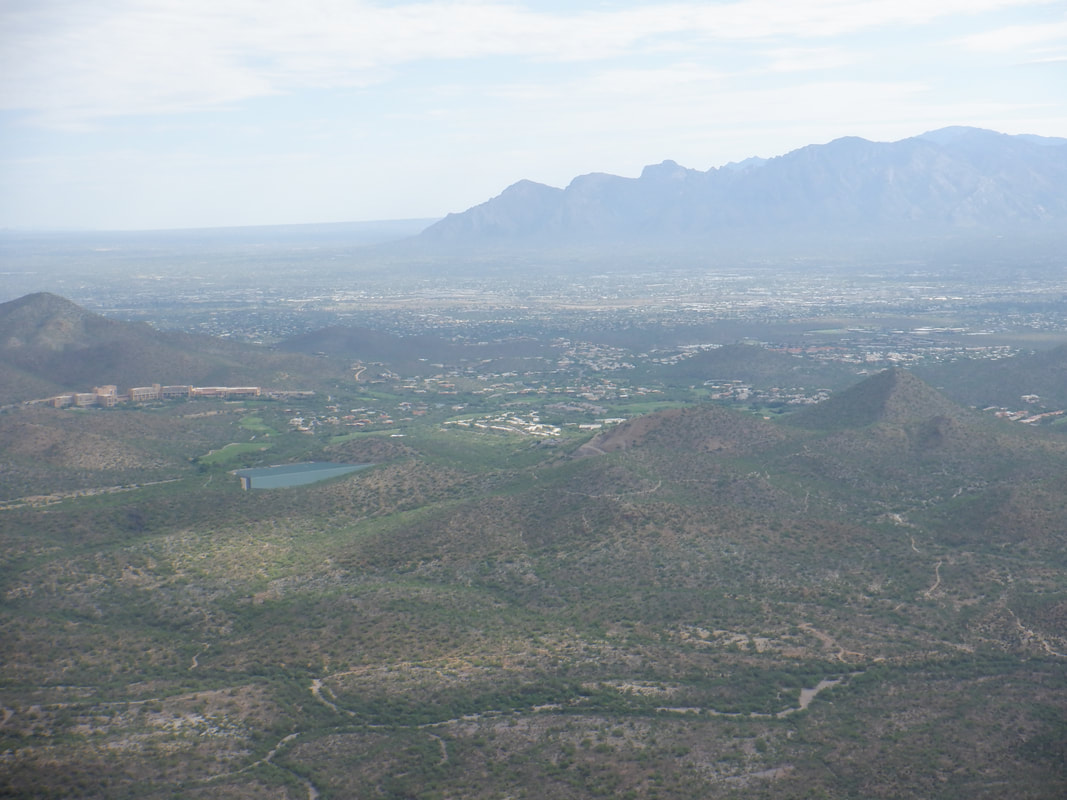
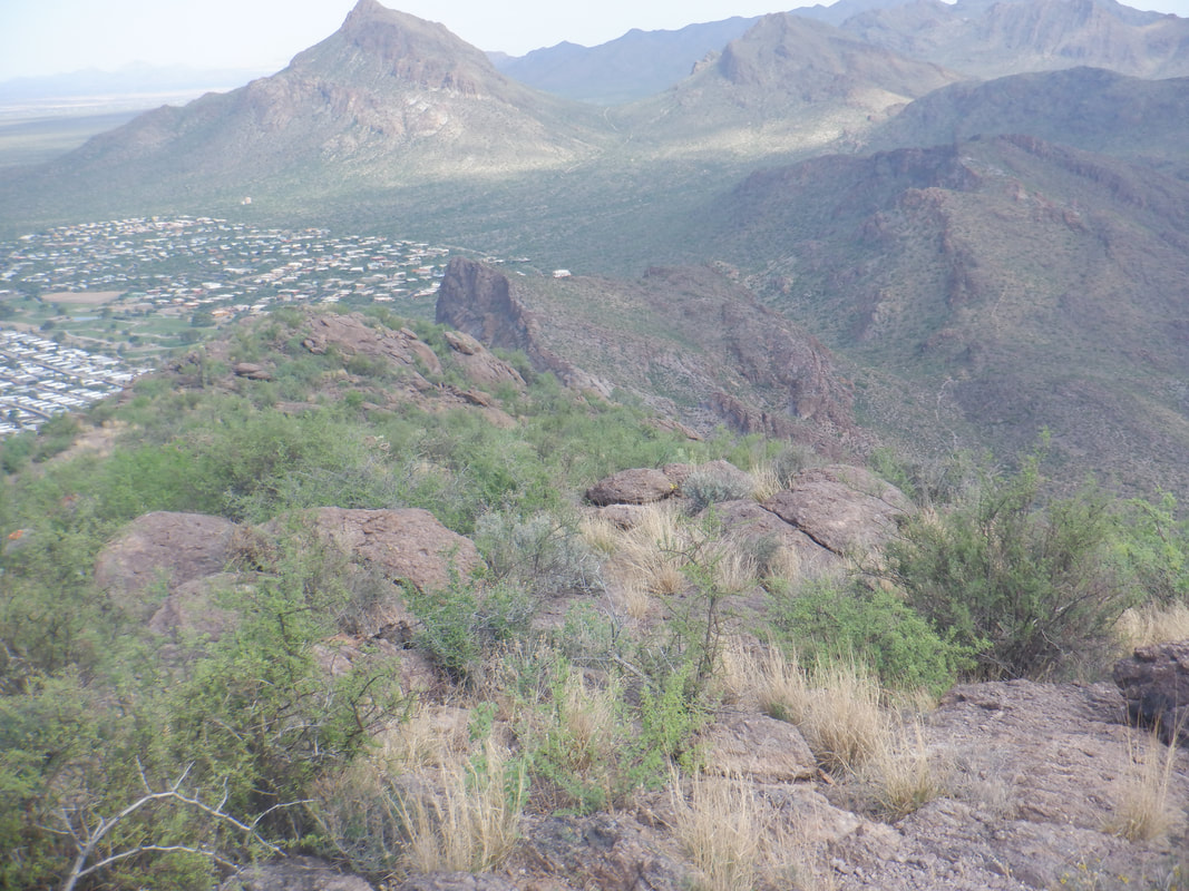
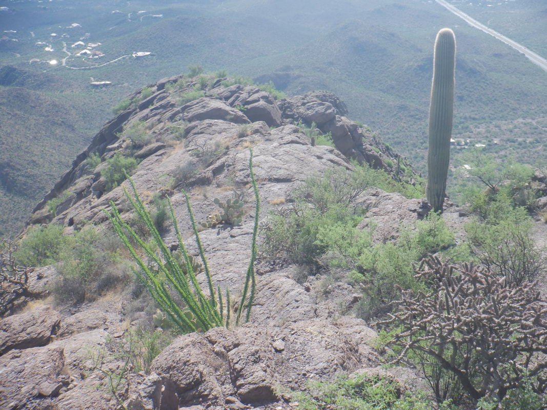
I arrived at the trailhead and began the hike. About 1/2 mile in I woke the heck up and realized I was on the wrong trail, returned to my car, drove a few miles and began the hike. Not a good way to begin but after way too many false starts, I was not going to spit the bit again. I reached.... ....the trailhead at the top of Sarasota Road and began. The trail goes through a pass that separates Little Cat from Big Cat Mountain. I got on the Explorer Trail and began hiking clockwise around the Cat. Yes, there is a route that begins in the pass and I have poked around in there but was discouraged by a wall. So green but the state is in a moderate drought and the monsoon so far, just like last year, has been mostly dormant. About 2 miles into my hike, I reach the cairn that indicates it is time to begin the off trail climb that eventually reaches the above ridge. Just looking at what was before me I guessed the route would cut right below a rock band but wrong again. The climb to the ridge is about .7 miles with an average grade of 26% so pretty steep. The route has numerous cairns and is not much of a challenge to follow other then I was taking it very slow partly for rattlers and partly because each time I reached a cairn I'd have to pause and locate the next and the next and on and on. Lots of barrel cactus in the area. Approaching the aforementioned rather deep, rock band, I was surprised when the route cut to the left but there was a nice staircase that eventually came to a ridge, far to the left of the peak. I did not realize it at the time but I still had almost .5 miles to go but what an awesome time! It begins with a wall that has enough foot and hand holds that I was able to clamber up. A fall here would not be good! Then, there are a series of.... ....false summits as each slope would result in a view of another and another. The ridge is kind of narrow in a few places but always there were boulders jutting from the ground to hop across but again, don't trip. At last, I reached the peak where someone had painted some messages. More significant was.... ....a transponder that PIMA County installed. Their effort at camouflaging it was not so good. In the distance, Golden Gate Mountain. Greeaaatt views from the peak. The option exists to continue ahead and descend the northwest side as mentioned earlier. I walked a little down and checked it out. Given the rising temp, if I got down there and became cliffed out or lost the route, I didn't have enough fluids to retrace my route so instead..... .....I headed back the way I came, finishing with 5.4 miles and 1350' of climbing. A fun hike. Back at the car, with the temperature at 100, I removed my shirt and could wring sweat from it. It was soaked, so too most of my shorts. Hot hiking these days with humidity.
0 Comments
Leave a Reply. |
Categories
All
Archives
November 2023
|
