|
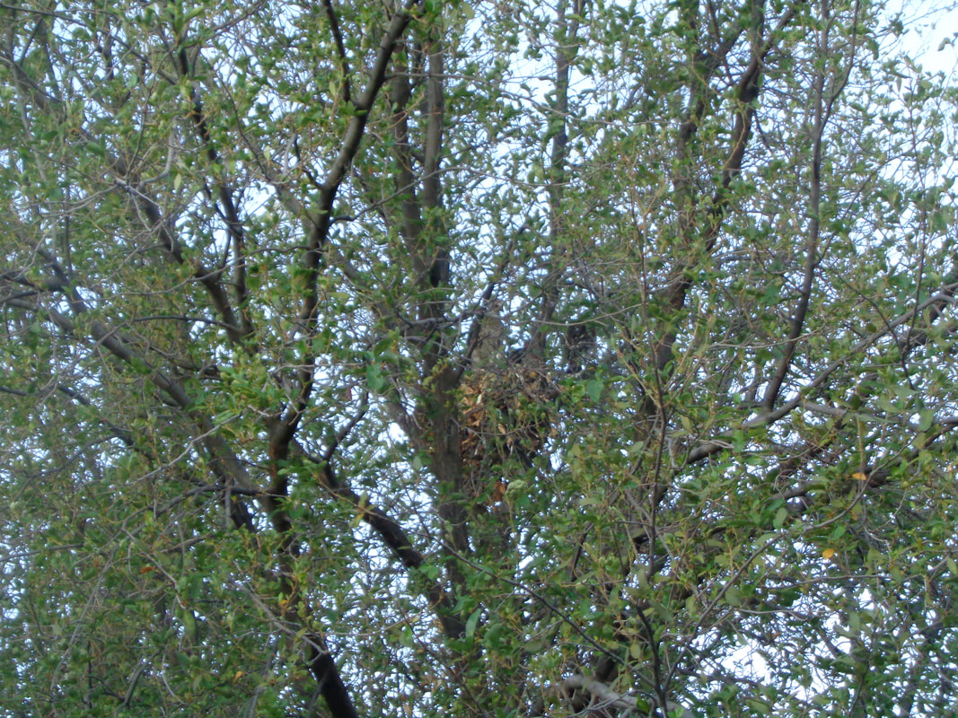
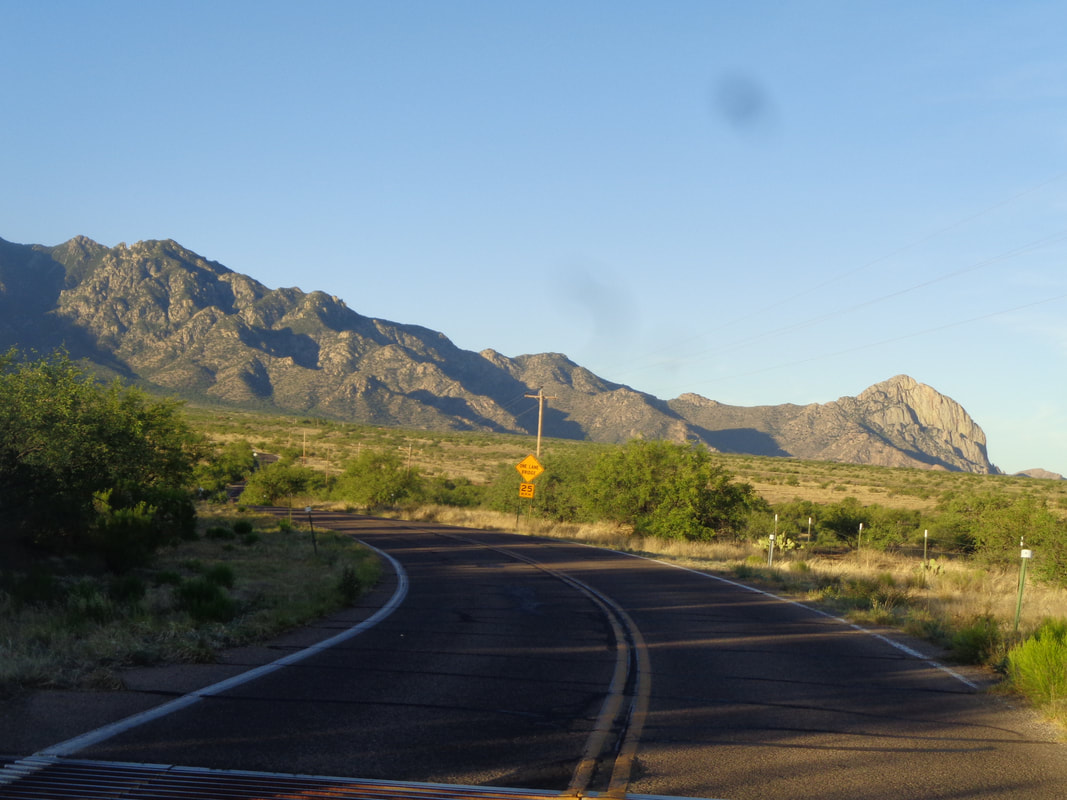
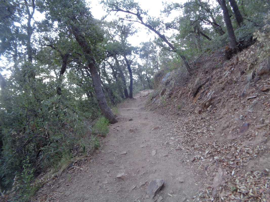
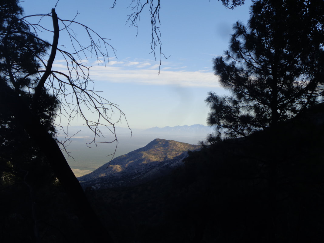
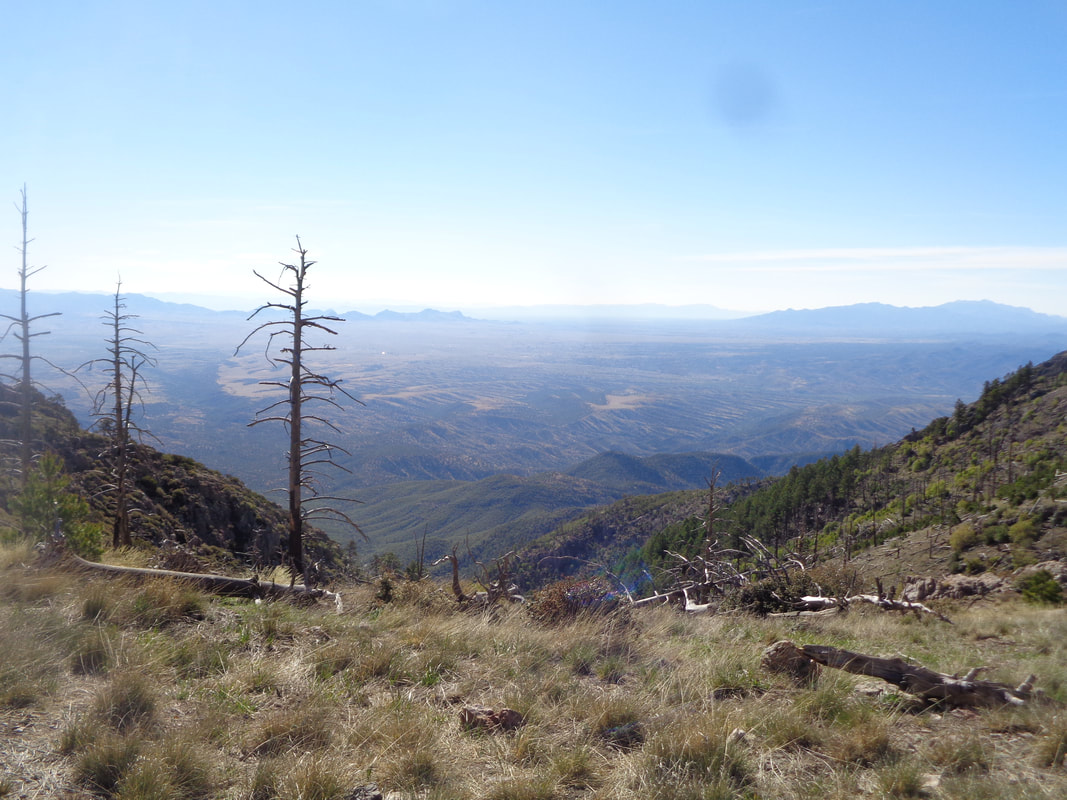
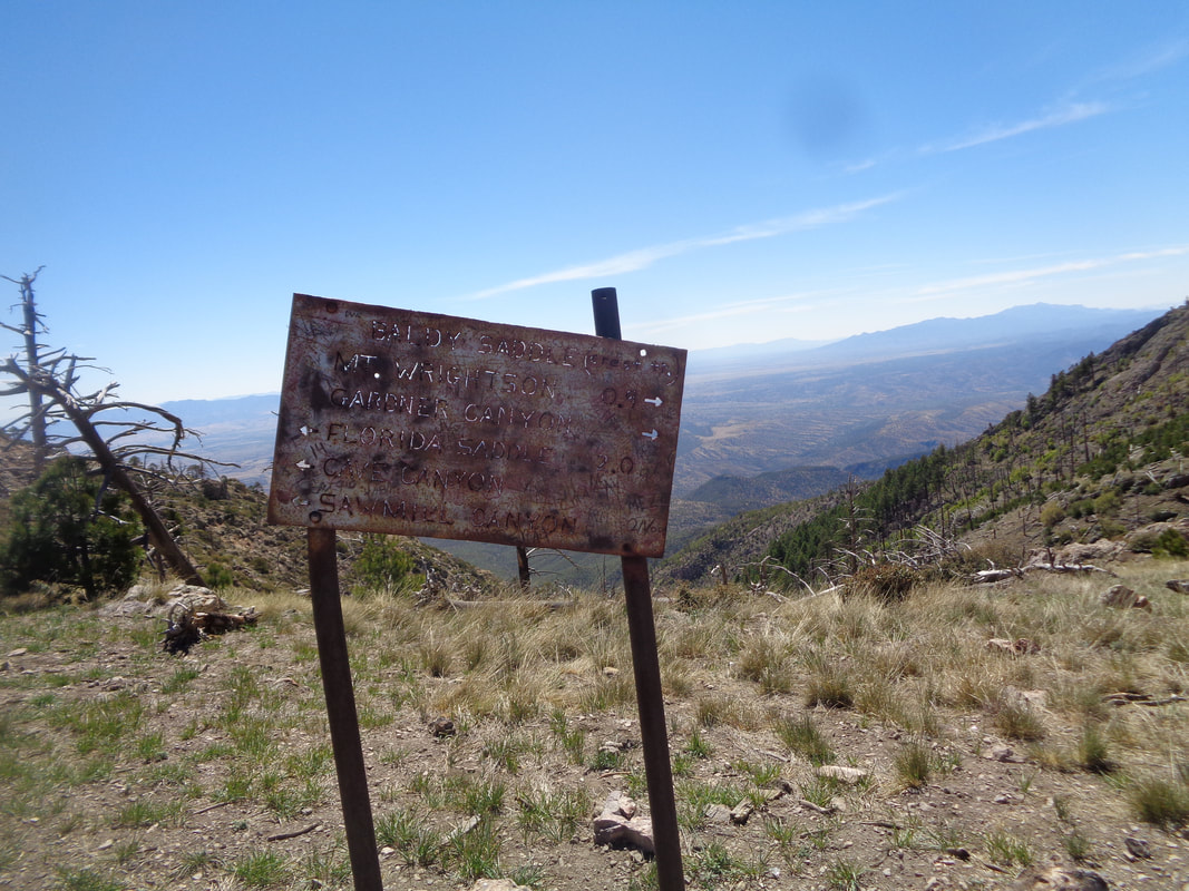
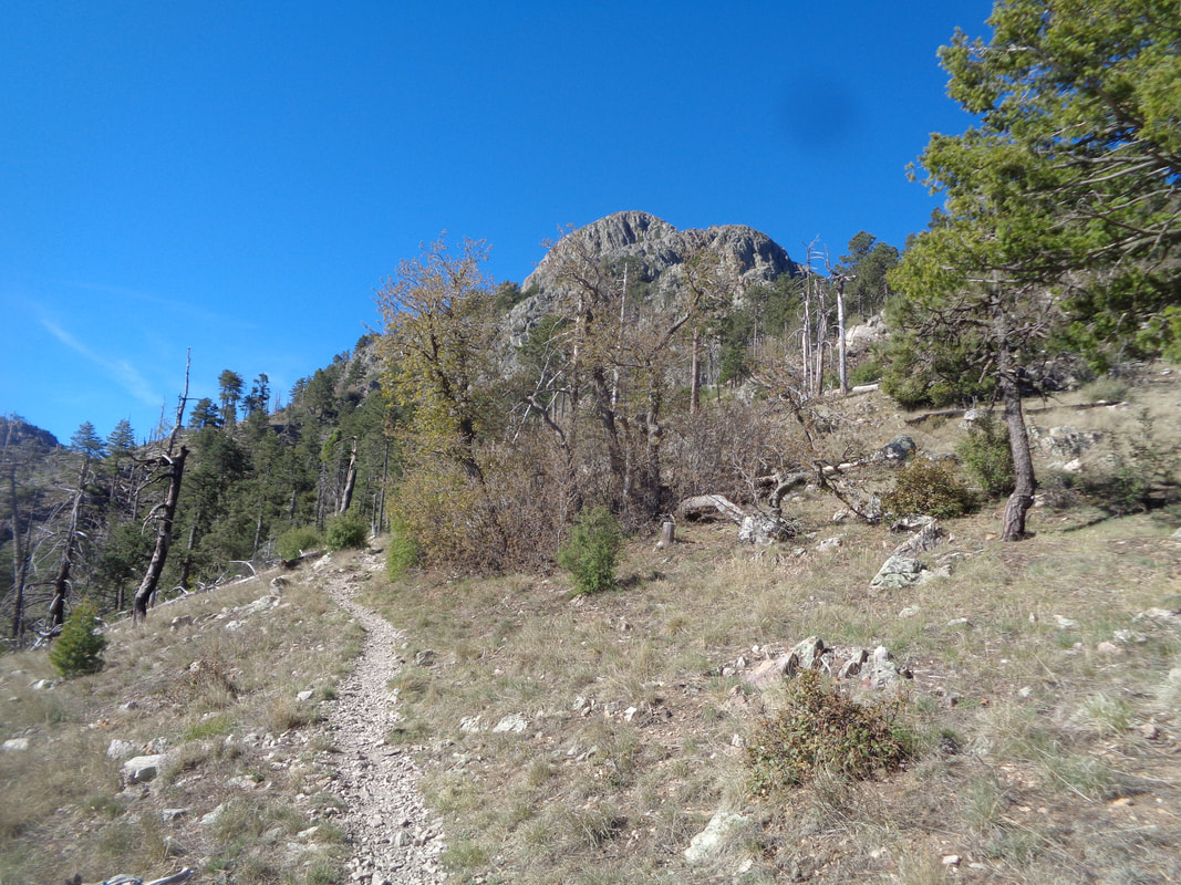
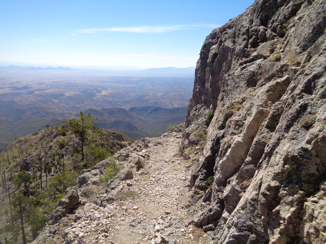
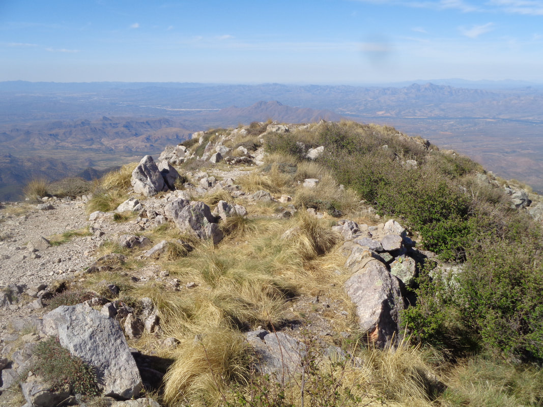
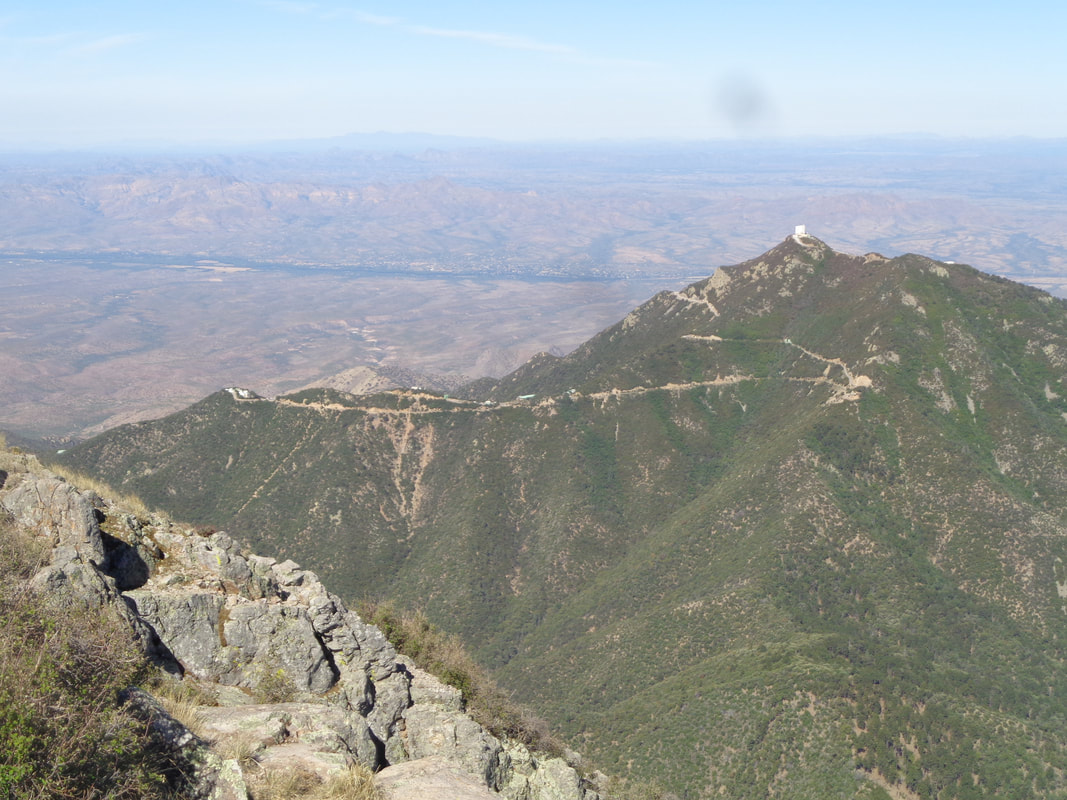
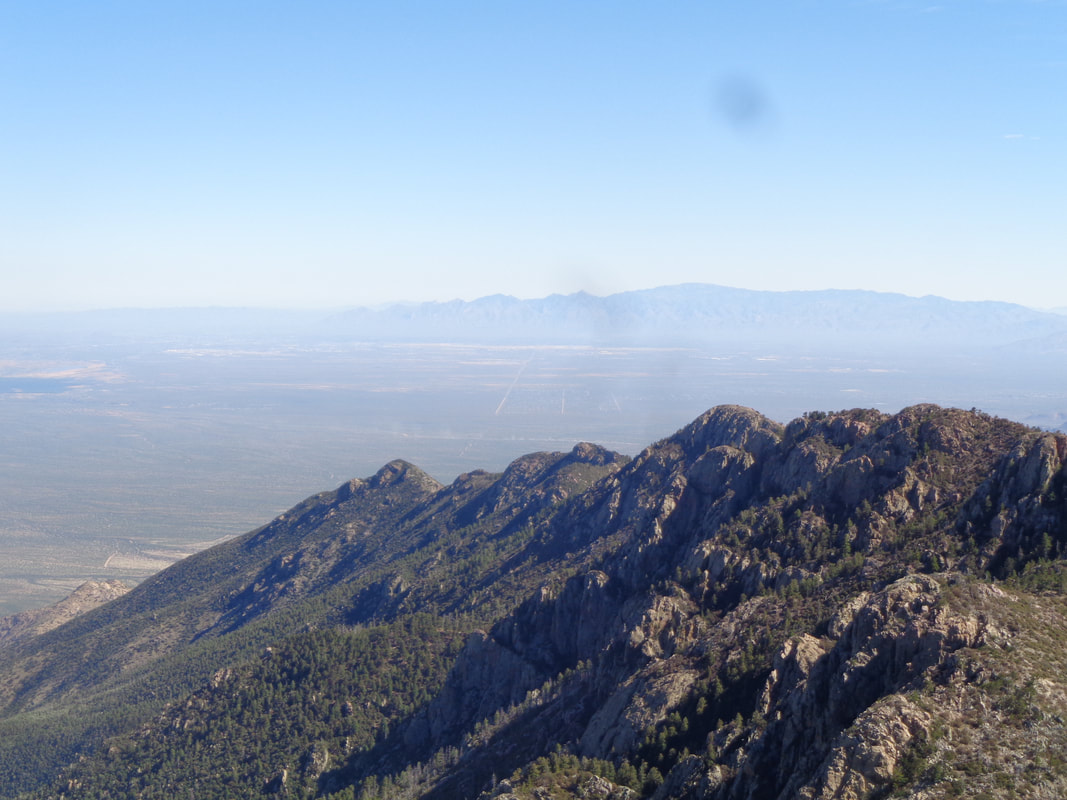
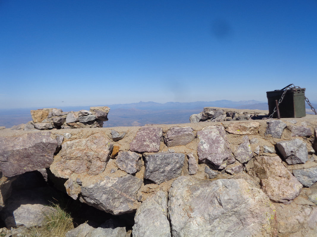
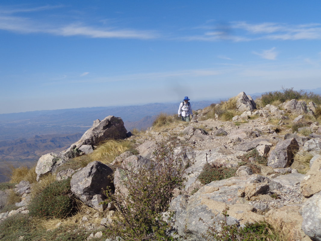
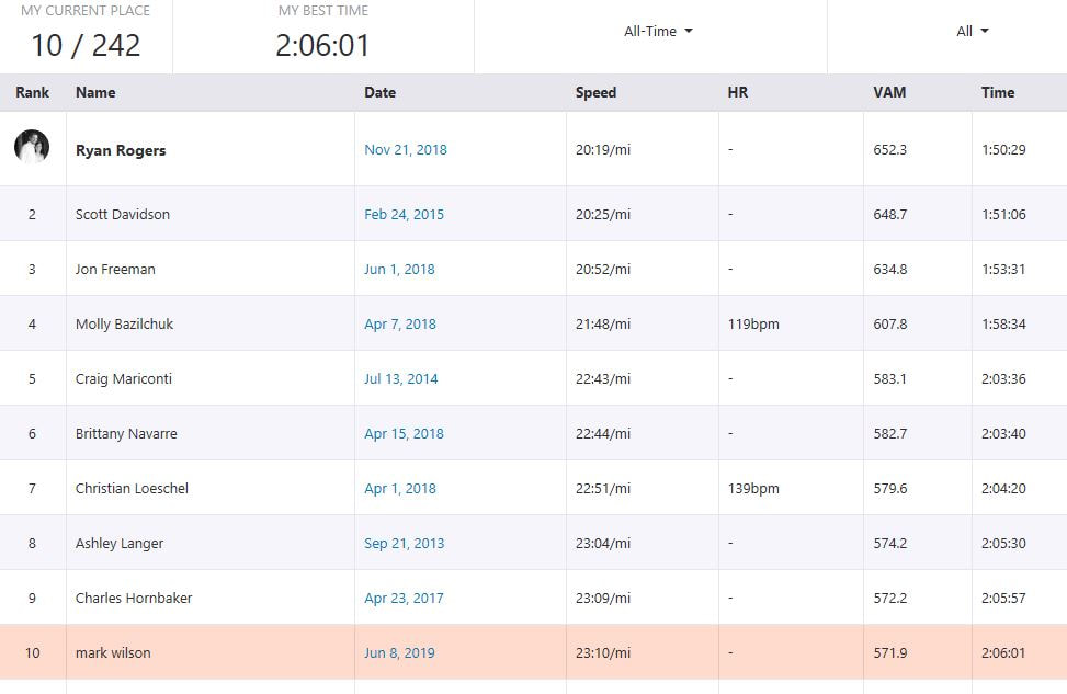
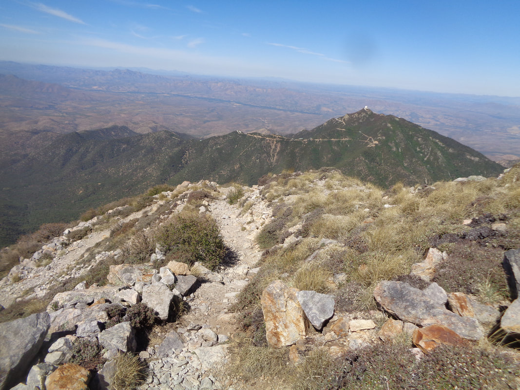
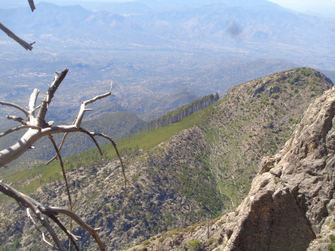
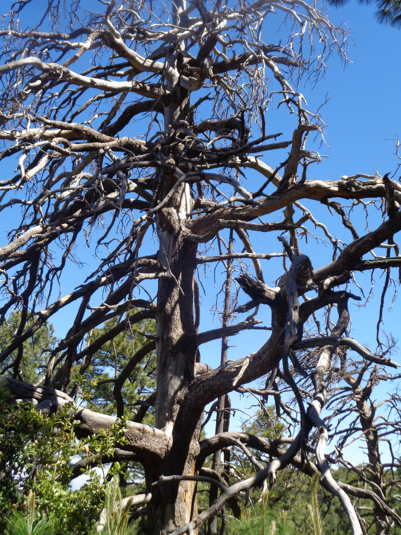
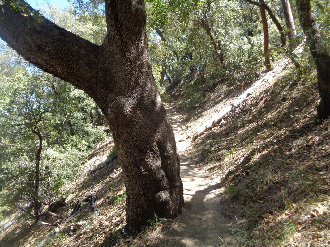
I had been reading about a Cooper's Hawk dive bombing residents, pecking their heads when they walk below the hawk's nest. I had forgotten about it when I arrived for my short visit and then discovered the nest is outside my 2nd floor unit! Been fun watching two youngsters take their first tentative steps outside the nest, wings flapping but not yet ready to take flight. Now on to an epic hike. ON a day having a forecast high of 98, I head south and enter Madera Canyon where the road rises and the temperature cools a little. Above, Elephant Head on the right and to its left but out of sight is Mount Hopkins and higher up, Mount Wrightson, my destination, today. I park in a generous parking area, still driving Rick's mumbo van that I hope to transfer in a couple of days. It was great to have the van as a transport to get some heavy items out here but driving a vehicle that gets 16mph kind of sucks. Beside being at a higher elevation of around 5000', the trail is in shadows for much of the day and when not, ample tree coverage picks up the slack. There are a couple of options to ascend to Mount Wrightson so I choose the most direct and steep route, Old Baldy Trail. It will be a 5.5 mile hike to the top, gaining 4050' of elevation gain at an average of 14%. I sure seemed steeper than that!!!! The tree canopy breaks occasionally and provides awesome views as I make my way to Josephine Saddle at mile 2.2. Reaching Josephine Saddle, I continue my trudge on to Baldy Saddle, another 1.8 miles farther up trail. My legs are surprisingly ok despite not having done a hike of similar difficulty for quite awhile. At Baldy Saddle, I am directed to make a right and continue on for .9 miles. Mercifully, the steepness abates a bit for the remainder of the climb. And there it is, the granite peak looming above me....ugh, so far, so high. Still steep at times but also the ascent moderates, rarely, I work my way up the switchbacks while the trees are now absent and the views...awesome! And here it is, the peak. Always an emotional rush to make it on a climb of significance as this one is. The high point in the Santa Ritas and of course, higher than.... ….Mount Hopkins and its observatory. The names of the two summits are derived from the names of two surveyors who were bushwhacked by Apaches in the mid 1800's. That climb to Hopkins, oh wow, so steep. In the distance, the Catalina Mountains and there are multiple mountain ranges in the wonderful 360 view afforded to me. A few decades ago, a fire watch tower was maintained here but now nothing but the foundation exists, along with an ammo can that contains the summit registry which I proudly sign. A nice man from St. Louis arrives. For Strava followers, I finish 10th of 242 which is ok but my hiking fitness is not great so yeah, I will go back and do it again, soon. Maybe take the longer but shallower "Super Trail" but for sure do it again. Soon, I begin the descent. Rounding a corner I see.... ...an incongruous site of a small grove of trees on a south facing slope. Seemed out of place but beautiful. A long dead pine stands alongside the trail. Descending, the temperature rises. I recover a fluid bottle that I removed from the freezer in the morning and stashed off trail on my way up. Geesh, did that cold drink taste great but I was also glad to be in the shade during my return to the trail head.
1 Comment
Janet Smith
6/12/2019 08:56:47 pm
GREAT BLOG!
Reply
Leave a Reply. |
Categories
All
Archives
November 2023
|
