|
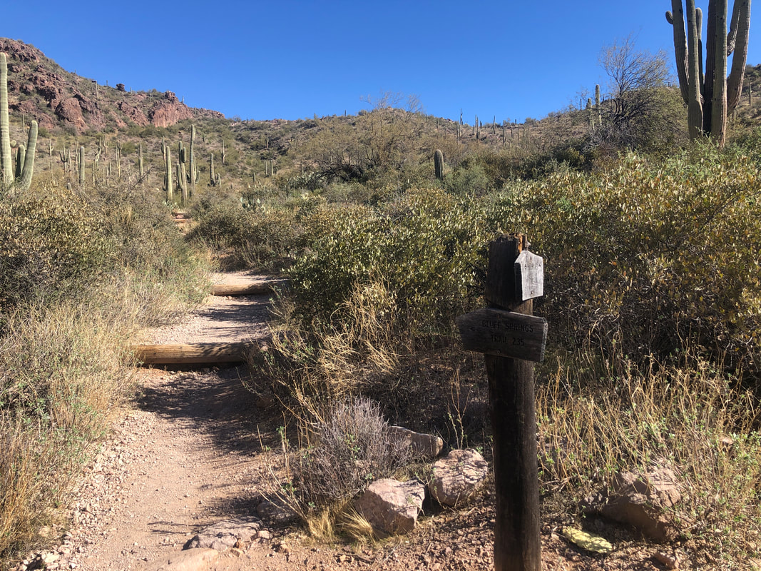
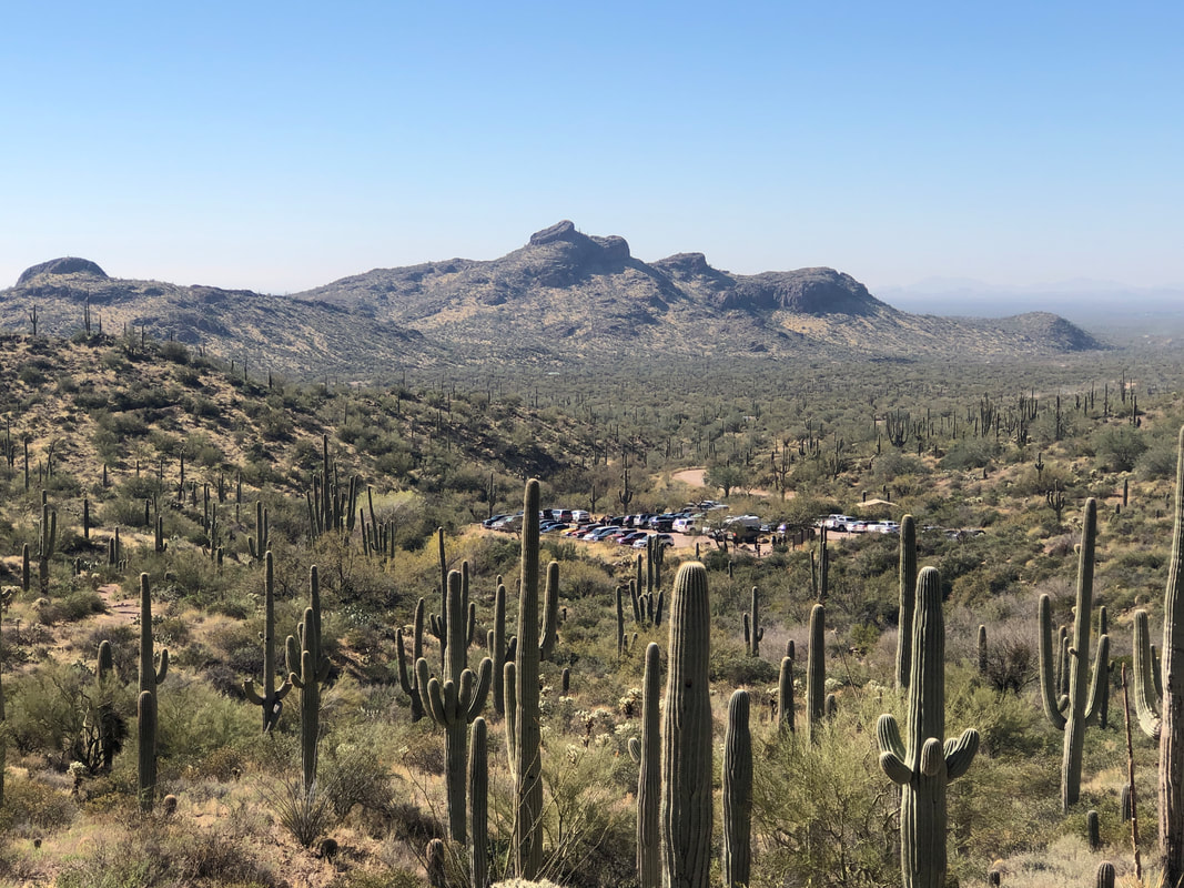
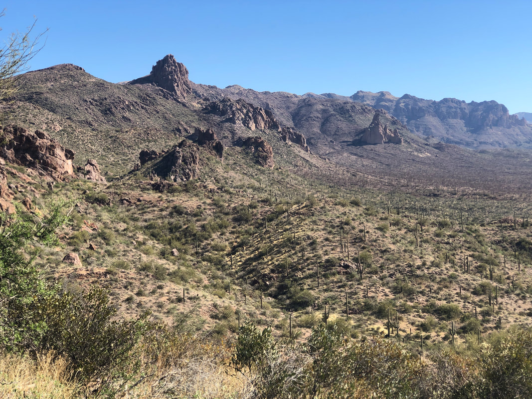
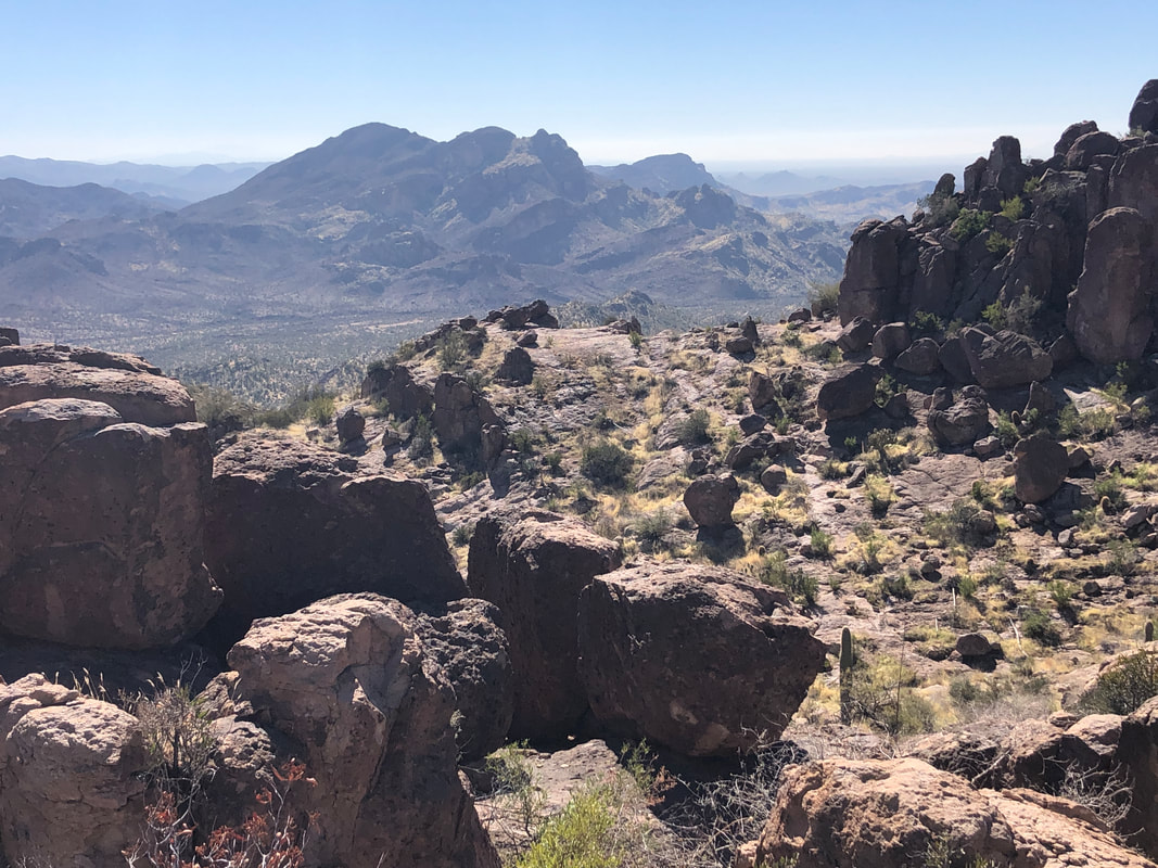
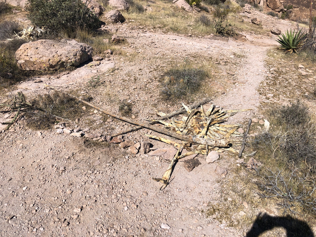
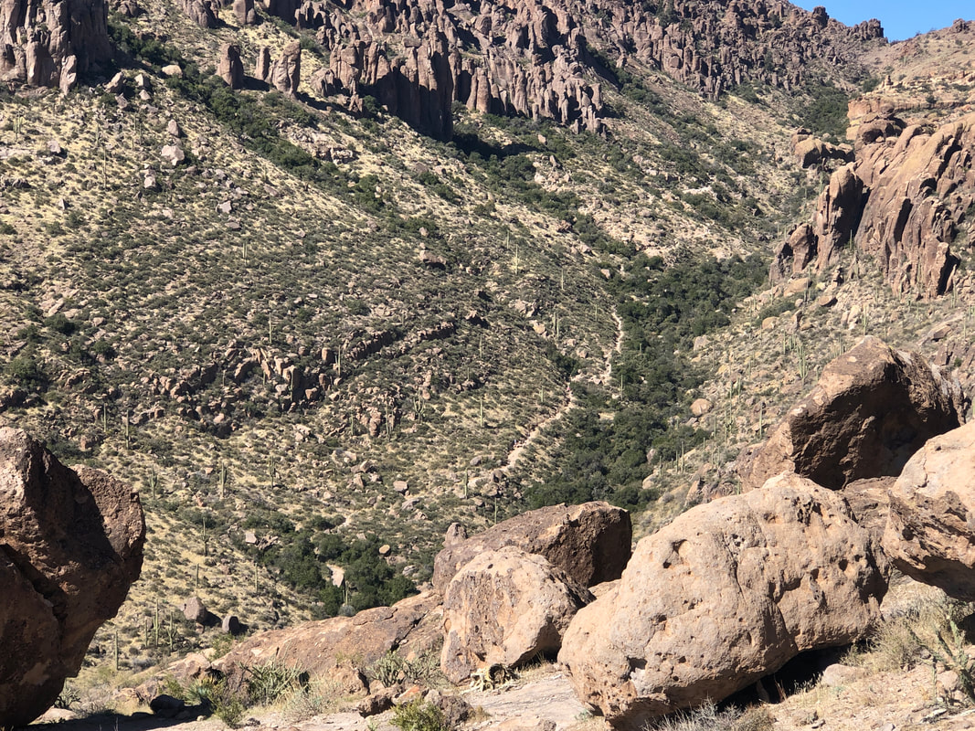
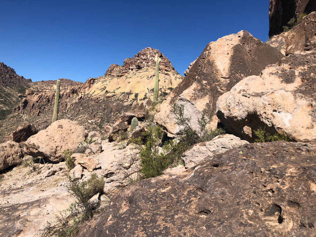
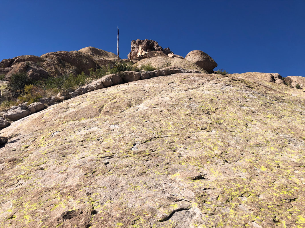
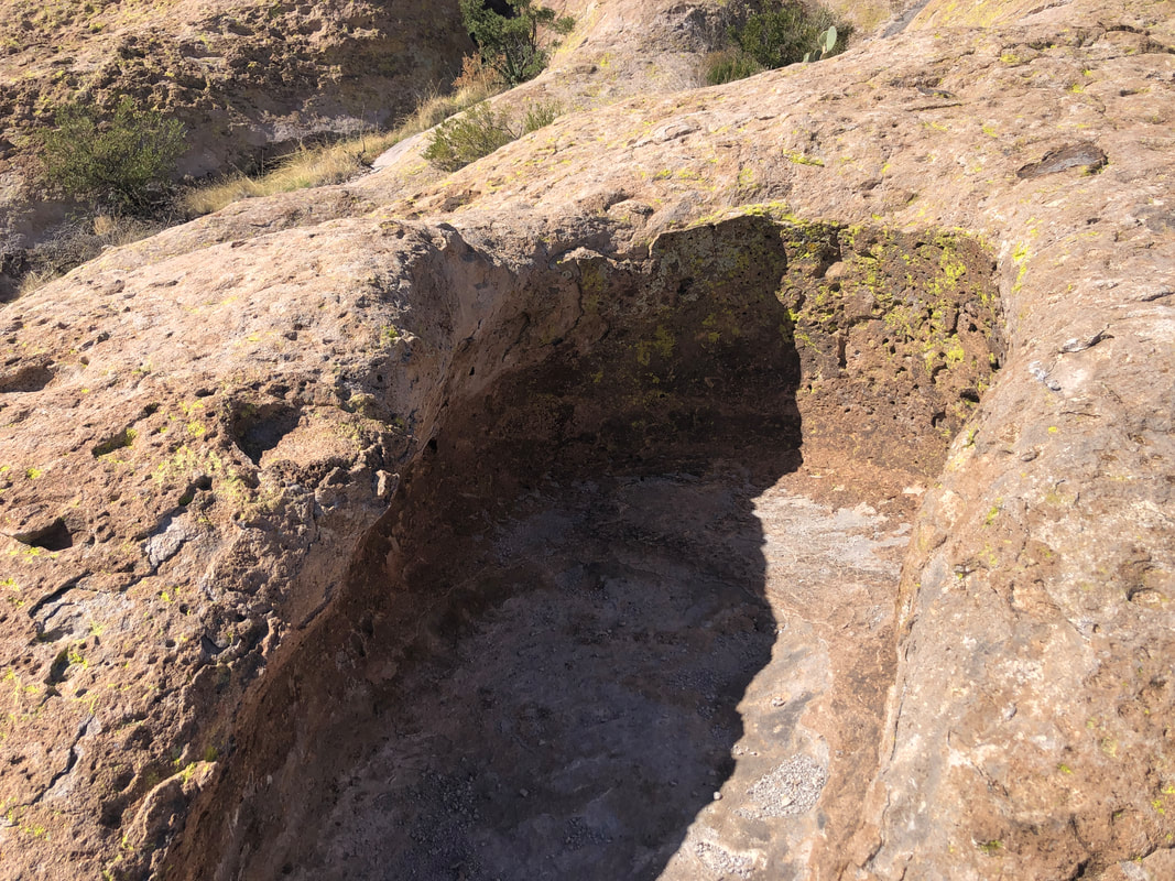
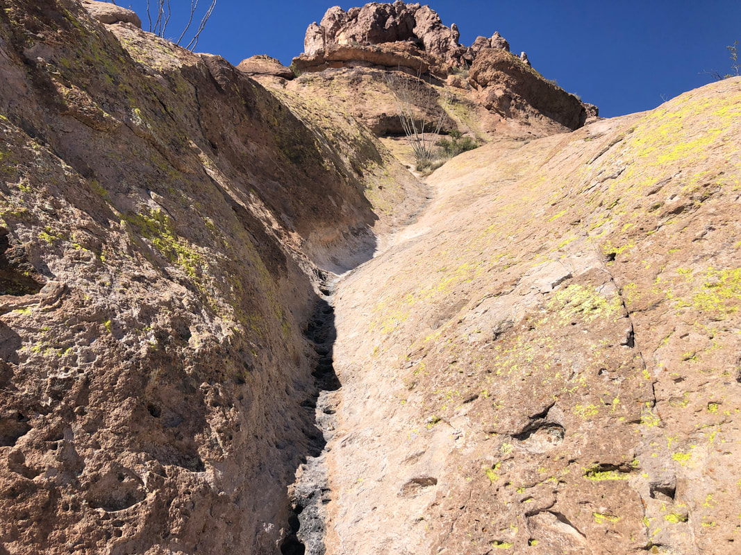
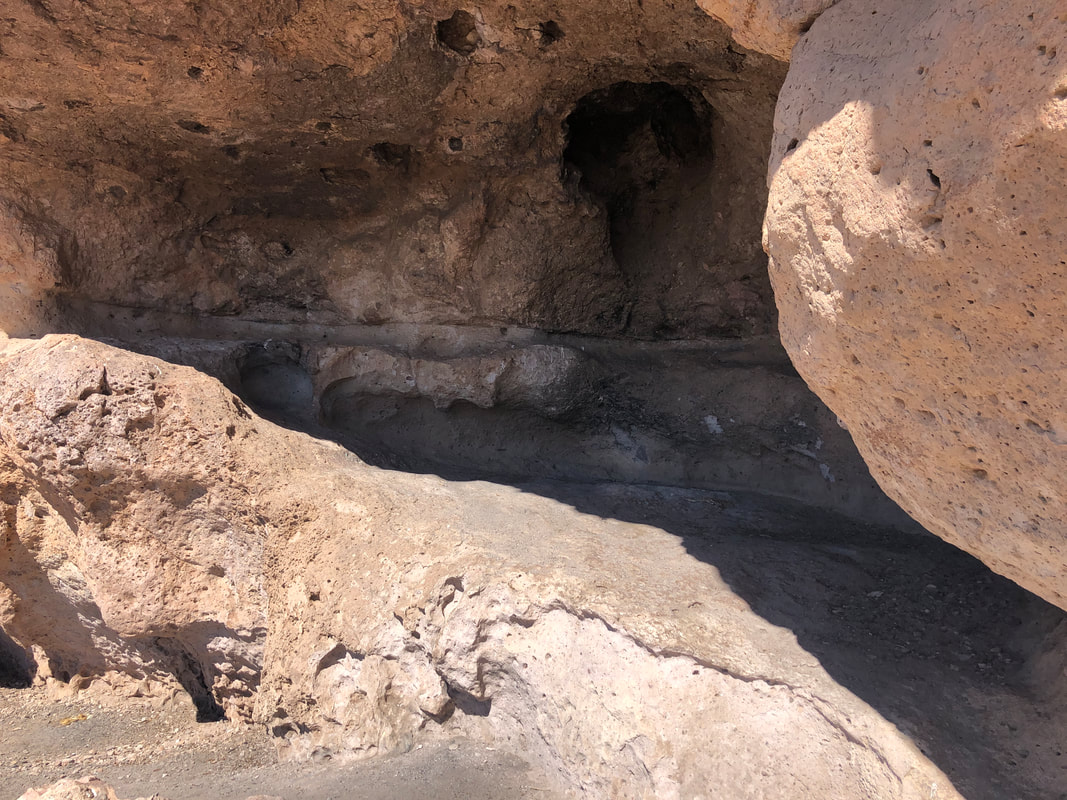
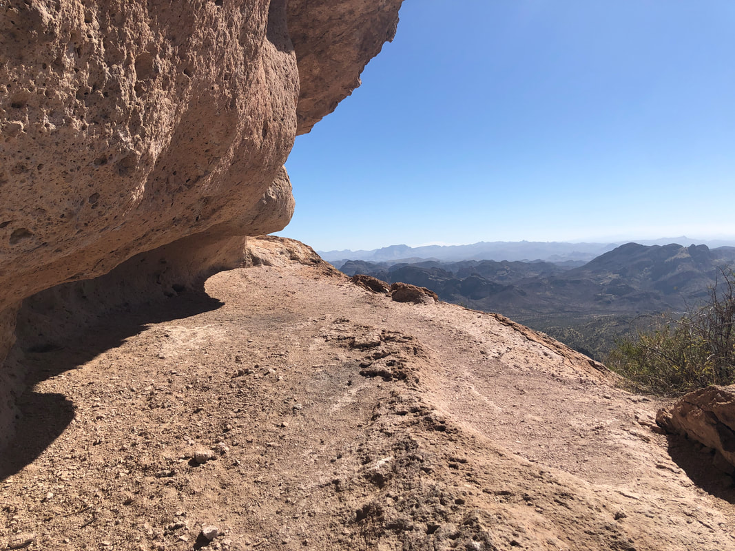
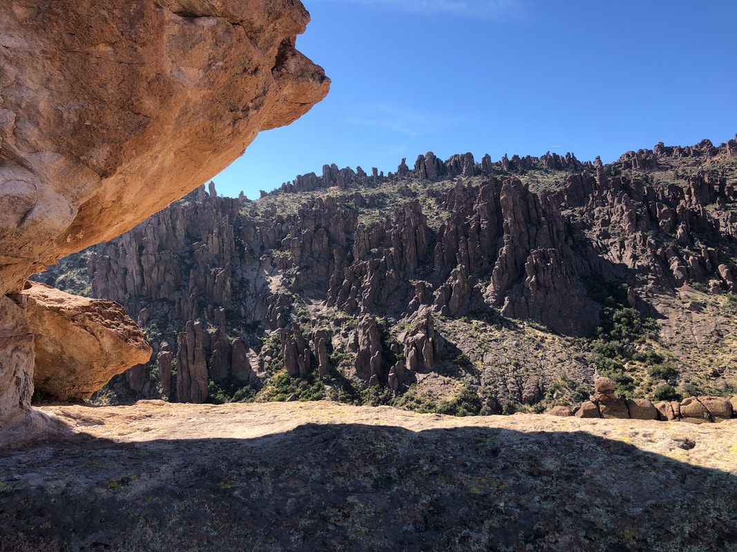
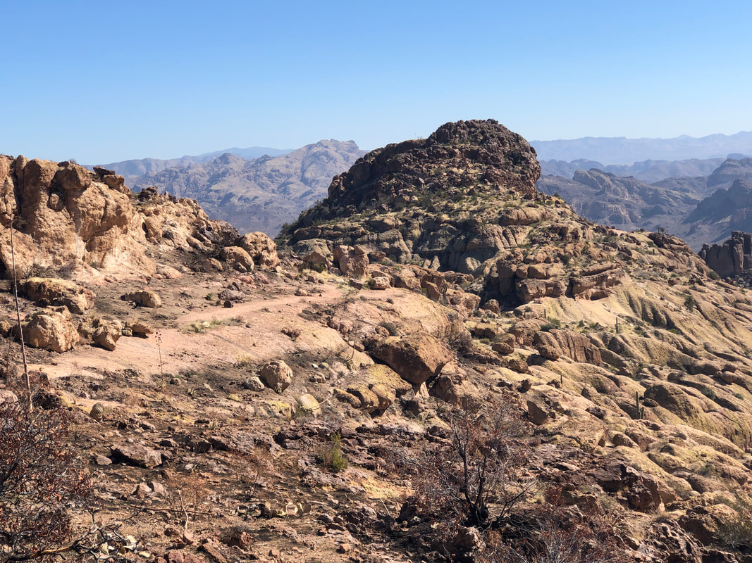
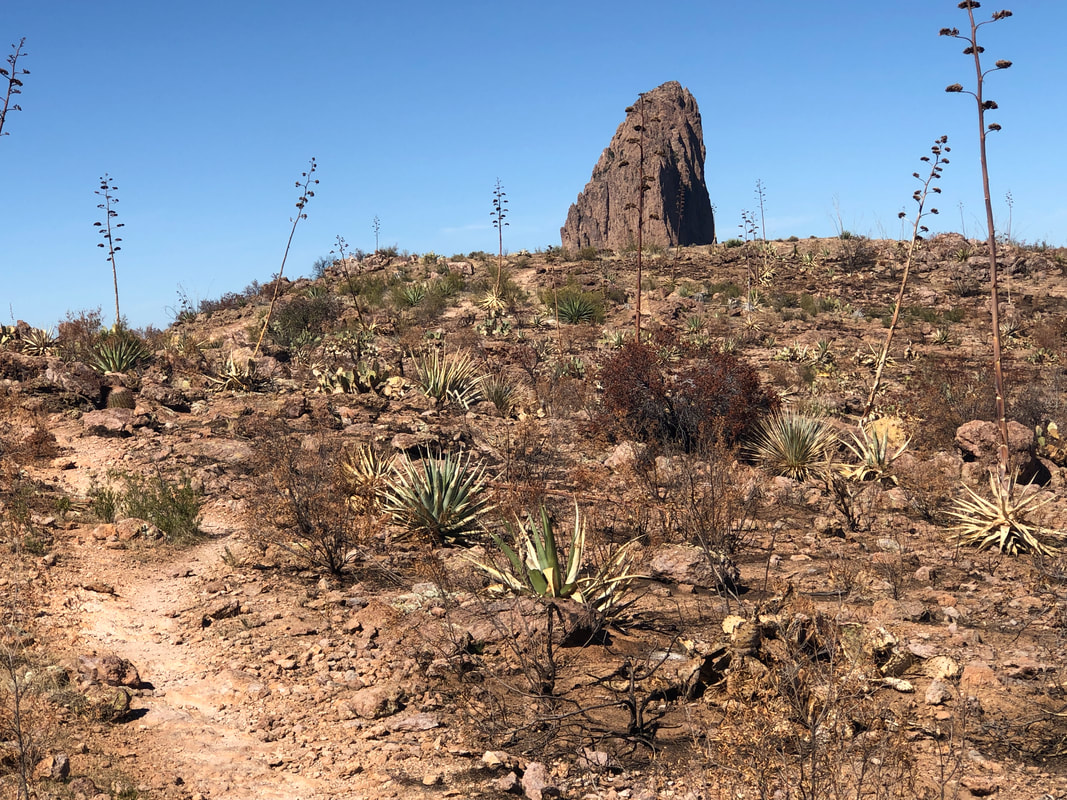
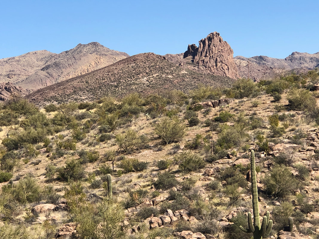
A group hike I organized for this Saturday, had us hiking down the Peralta Trail, which I have done way too many times. Above Peralta is a little known alternative, the Cave Trail. Been a few years since I hiked that and on-line descriptions were alarming enough that it undermined my route finding confidence. At home on Thursday, I thought, "Well damn. I better check it out" so here I am, ascending the Bluff Springs Trail. Bluff Springs is a rapid elevation gain type trail, ha, ha. Looking back I see the parking area and soon, gain a ridge with.... ....awesome views of the interior of the Supes. The Cave Trail breaks left off Bluff Springs and is more obvious then the last time I hiked it. I caught a foursome who only had a vague idea of where they were going. I gave as much information as I could to help out. I heard them discuss their plans, which included following me. After climbing a bit, I watched to make sure they did not follow my route. They never would have made it. Sometimes, people have placed objects on a breaking right or left trail to keep me on the correct route. Probably all trails lead to the same place but who knows? I tried not to check a gps route I had on my phone as I enjoy the route finding challenge but a couple of times, I had no choice. One of the many nice things about this route is while I am hiking in solitude, far below me, the masses hike the Peralta Trail and we're all going to the same destination; Fremont Saddle. I remember from a prior visit that the dome in the distance is the mid hike objective. The challenging route is up the ridge facing me. There is a less challenging route to the right. Soon, I arrived at.... ....this. Rarely does an image accurately capture the slope but this one does. There are enough pockets on the surface to make the wall climbable. This was one time I checked the gps route as I walked to the right and left but nope, ya gotta go up this. Once I reached the top I realized.... ....yep, this is the correct route as I encountered the "Devil's Bathtub." This brought a sigh of relief, confirming I was on the same route as I previously hiked and understanding, the worse was over. I scrambled up a series of drainages, rounded a corner at the top to my left and soon.... ....hiked past several caves, one of which is known as "Geronimo's Cave". One of the alcoves used to have many rock stacks but someone has torn them all down. Over time, they'll be rebuilt as it was a neat sight. I frequently hear faint voices coming from Peralta Canyon but I have largely oblivious to the people below. Most of the time there is no real route finding but when the route crosses broad expanses of rock, it takes some time to figure the way forward. There are some but not many cairns. The route briefly enters a burn area and then ends at the trail coming off Fremont Saddle to the Lone Pine tree. It took me 2:06 to cover the 3 miles from the parking lot...not good. But, with the route finding mystery solved, I figured I'd make the return in a better time and did, 1:10. This is such a more enjoyable alternative to Peralta. I'm looking forward to showing this to the group. In the distance, Miner's Needle. Doing a group hike around that beast in a couple of weeks. Finished with 5.6 miles and 1300' of climbing.
0 Comments
Leave a Reply. |
Categories
All
Archives
November 2023
|
