|
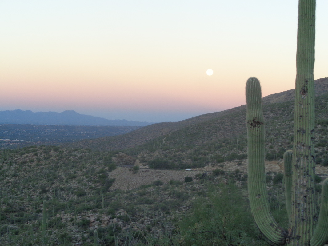
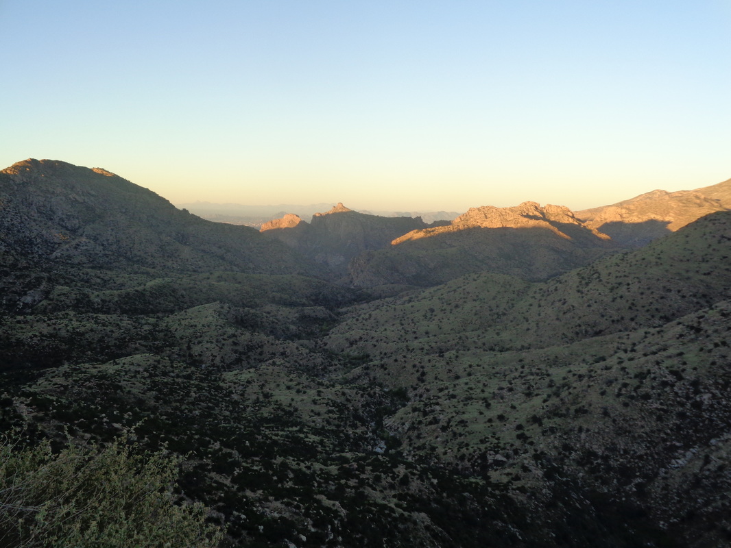
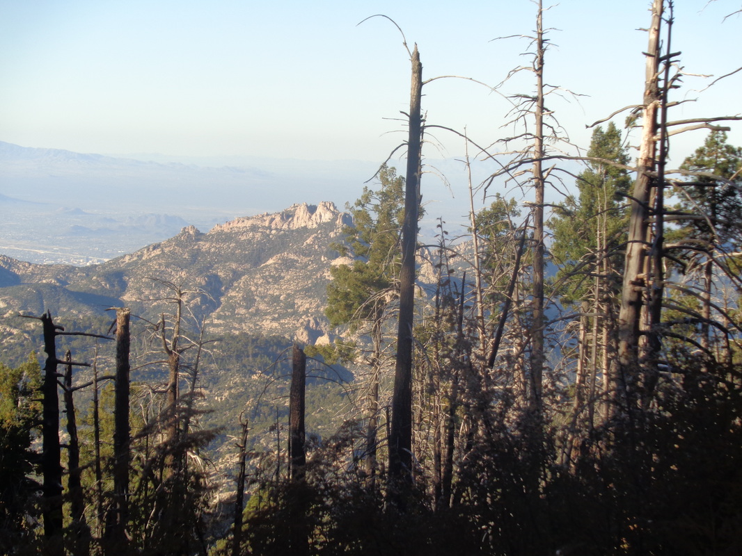
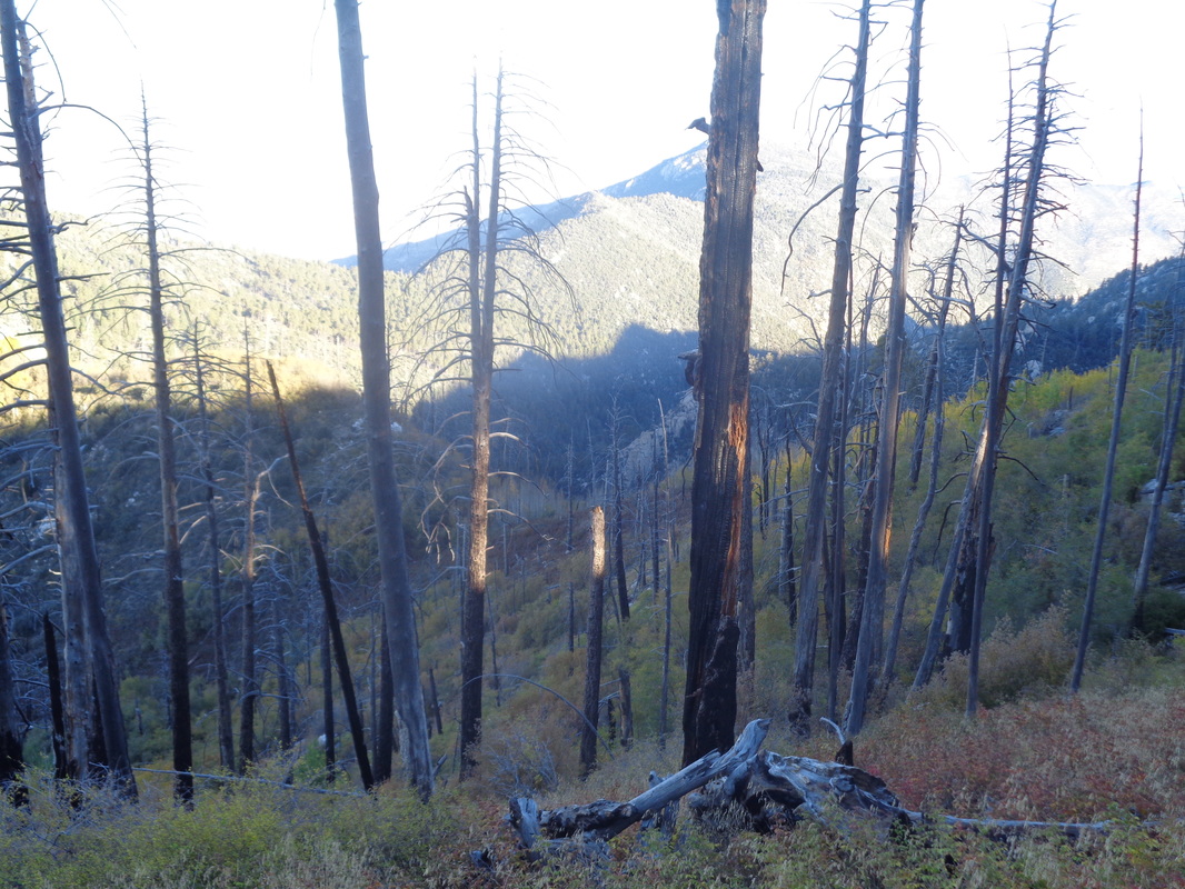
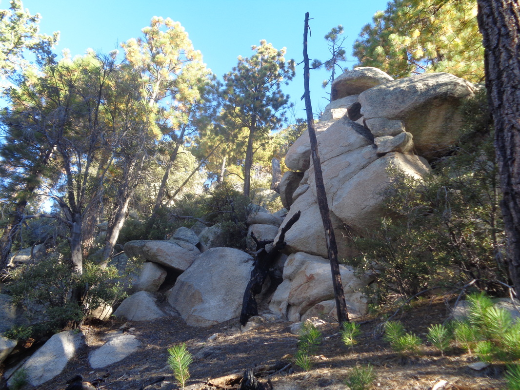
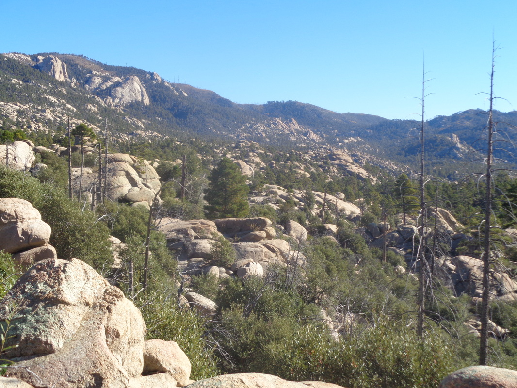
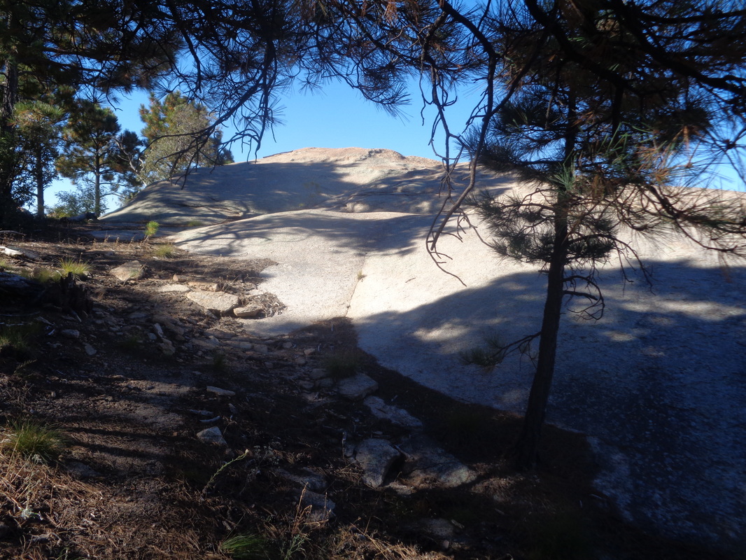
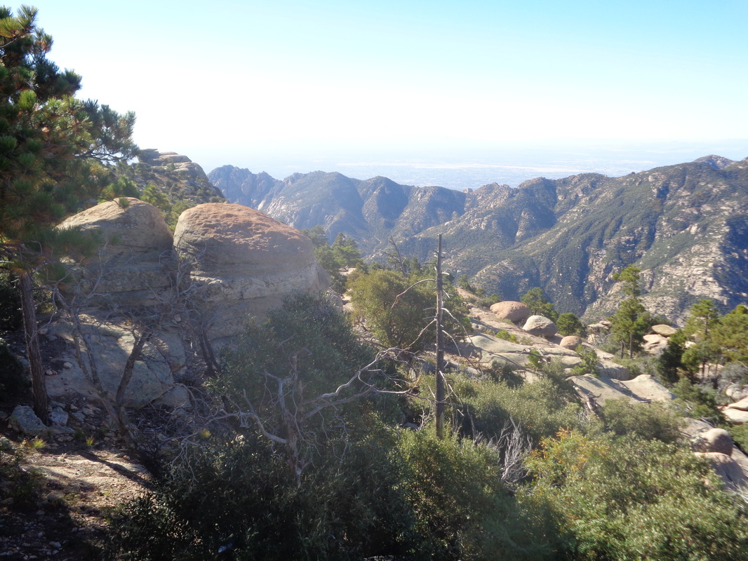
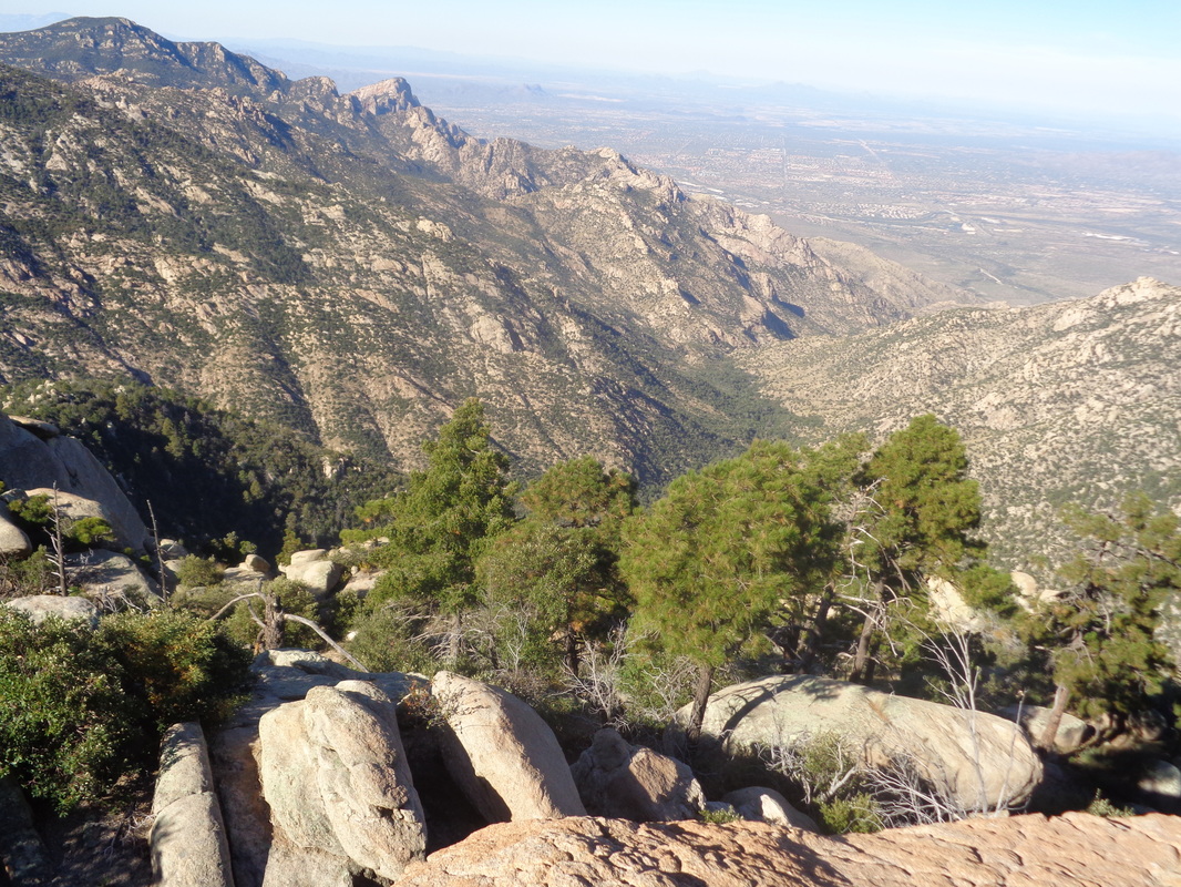
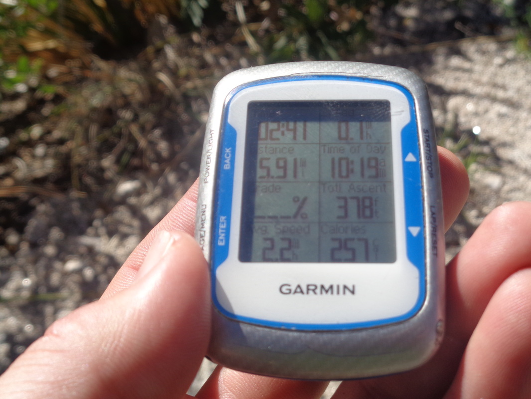
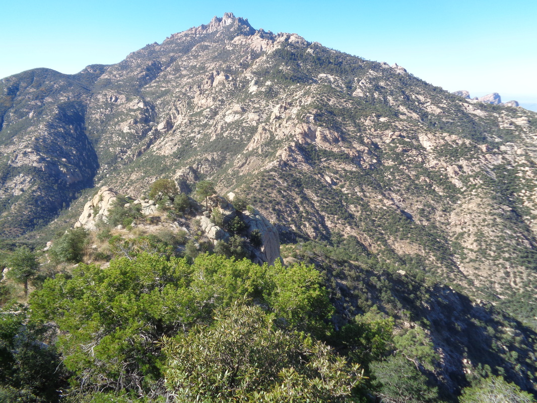
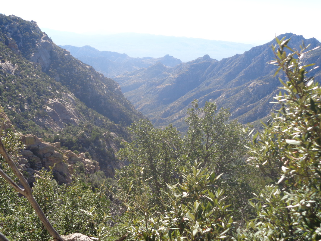
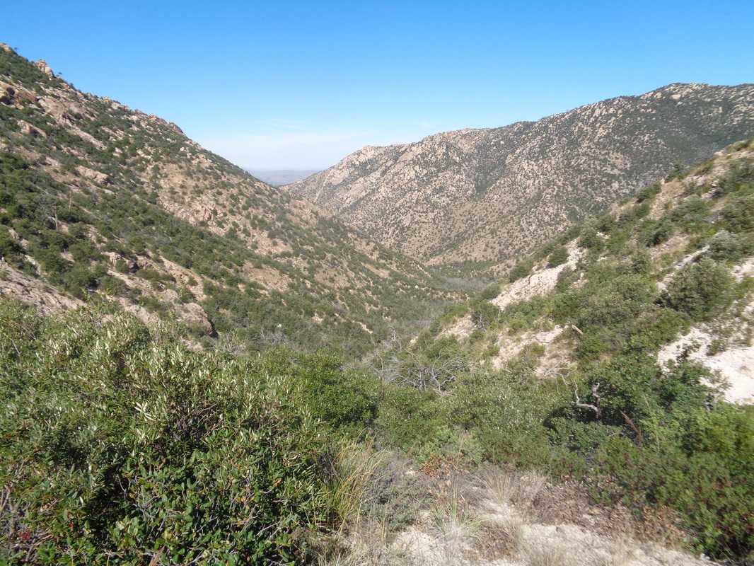
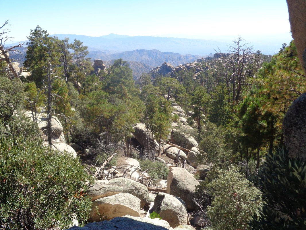
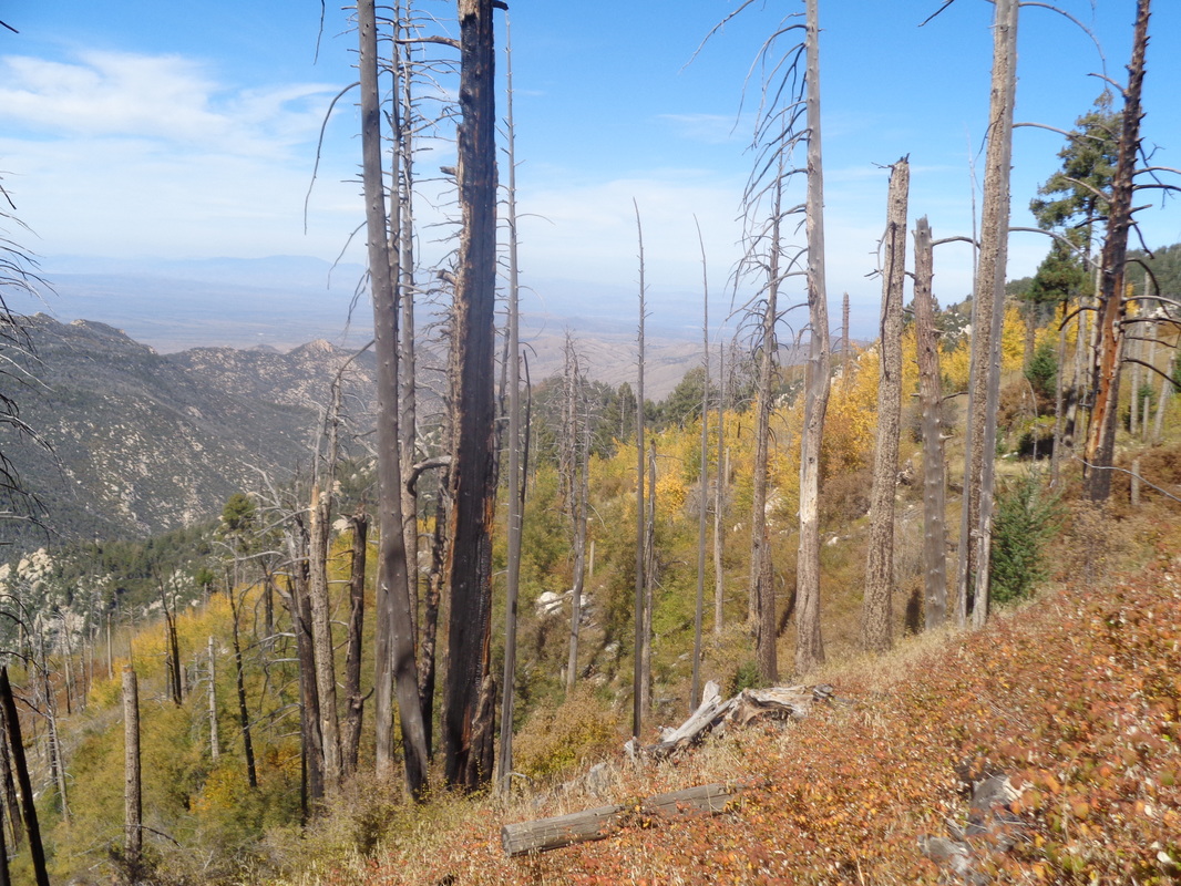
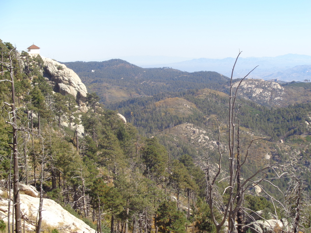
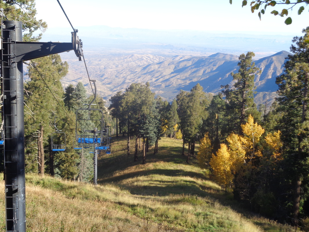
Some of you are searching for info about accessing Cathedral Rock via a trail other than Esperero out of Sabino Canyon. Nothing on the usually reliable site, "hikeAZ" or elsewhere. Looking at the map, it appears driving to the top of Mount Lemmon at 9157' and departing from the Mount Lemmon trail makes some sense as CR is at 7957' the high point in the front range of the Catalinas. I'm not dumb, I knew there would not be a gentle ridge trail that would take me from one peak to another but the idea had a lot going for it. At that elevation, vegetation would not be the huge issue it is at lower elevation after the monsoon. The temp? About 90 in the valley but up here, 47 at the start wiwth a high of 71. I decided to check it out, departing from our place at 5:45 which put me on the slopes of Lemmon for moon set and sun rise. Above from the parking lot at mile 2.5 up Catalina Highway. I was obligated to stop at several pull-outs as the view of the sun casting early light was spectacular. Eventually, I made it to the top of the mountain and was stunned to find the parking lot full and vehicles alongside the narrow road. At least 25 at 7:15am. Good, I like the idea I may meet people and exchange info. As it turns out, I saw only 1 person until my return. Soon after shoving off with the necessities and 4.5 liters of fluid, Cathedral Rock/Peak comes into view. Plenty of evidence still of the.... ......2003 Aspen Fire but lots of Aspen growing to take their place. Down, down I go. I set some limits; if I had not reached my destination in 4 hours, turn around. If I descended for more than 7 miles, turn around because the return would be brutal, similar to hiking from the Colorado River to the south rim of the GC. I hike through fairly steep slopes and enter a boulder area that appears to be a natural habitat for lions. I am now in the..... ....area know as the Wilderness of Rocks and eventually reach the junction having a trail by that name. I continue where a brief ascent brings me to this..... ....intriguing spot. Hmmmm, that expanse of slick rock could be a great vantage point to see what lies beyond and WOW.... ....was it!!! Some of the best scenery I've seen with expansive views to the south and.... ....northwest down Romero Canyon and of course directly across was Cathedral Rock. Awesome. I continued down, another mile and about 1300' of drop to arrive at Romero Pass. I had come almost 6 miles, practically every step going down other than 378' of climbing. I figured I had lost 3000+' and judging by the map, still had another 1500' of descending before ascending to Cathedral Rock. Clearly, while the trail was in good shape and easy to follow and the moderate temp welcome, the traditional route coming out of Sabino Canyon is "much" easier. In this case, there is about 1500' of extra climbing doing this route to CR and a mile longer then compared to starting from the other side of the mountain out of Sabino Canyon via the Esperero Trail. At Romero Pass, looking up to Cathedral Rock. The other point is, this network of trails is not intended to take you to the peak of CR. If it was, you'd start switch backing up this and be at the base of the peak in probably a mile. Staring at the slopes, there is no doubt from this point you could reach most of the way and then circle to the east side where there is access but of course, no time for that. I took another look down canyon where the West Fork Trail descends and where, after about 1.5 miles you'd hang a right at Cathedral Rock trail and begin climbing but as noted earlier, the trail does not go to CR but passes it where at a saddle, you go off trail and ascend to the peak. And of course, a last look down Romero Canyon and begin the long slog out. I take my time and enjoy the views, almost always trail side. More burned out areas with Aspen coming back as I look to the northeast. Nearing the parking lot, you can see a fire spotter's cabin on the left and more good views to the southeast. At the top, it won't be long before there will be snow and the lifts active...yes, in Tucson, AZ. Finished with 11.6 miles and 4000' of climbing. Great hike!
1 Comment
Phil Livingston
10/20/2016 04:01:40 pm
Another awesome hike, photos, and narrative. Thank you for sharing.
Reply
Leave a Reply. |
Categories
All
Archives
November 2023
|
