|
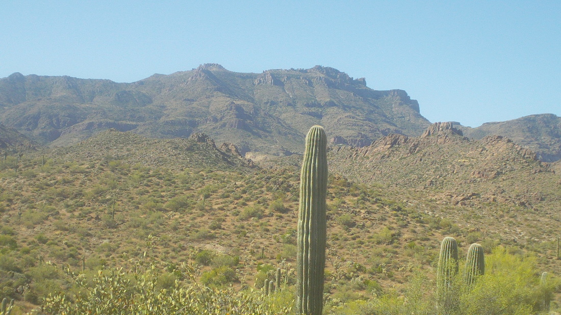
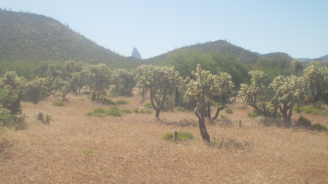
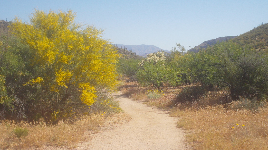
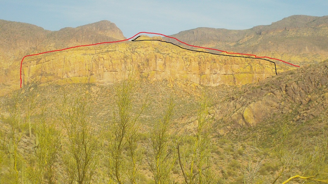
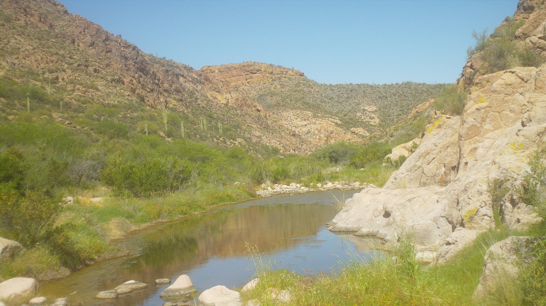
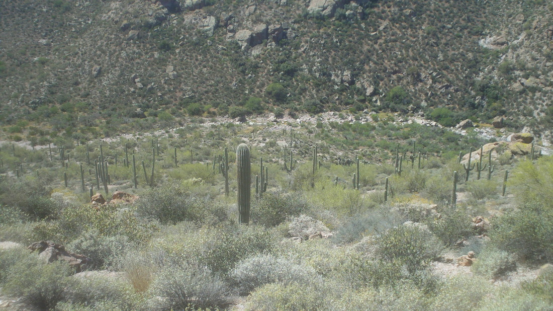
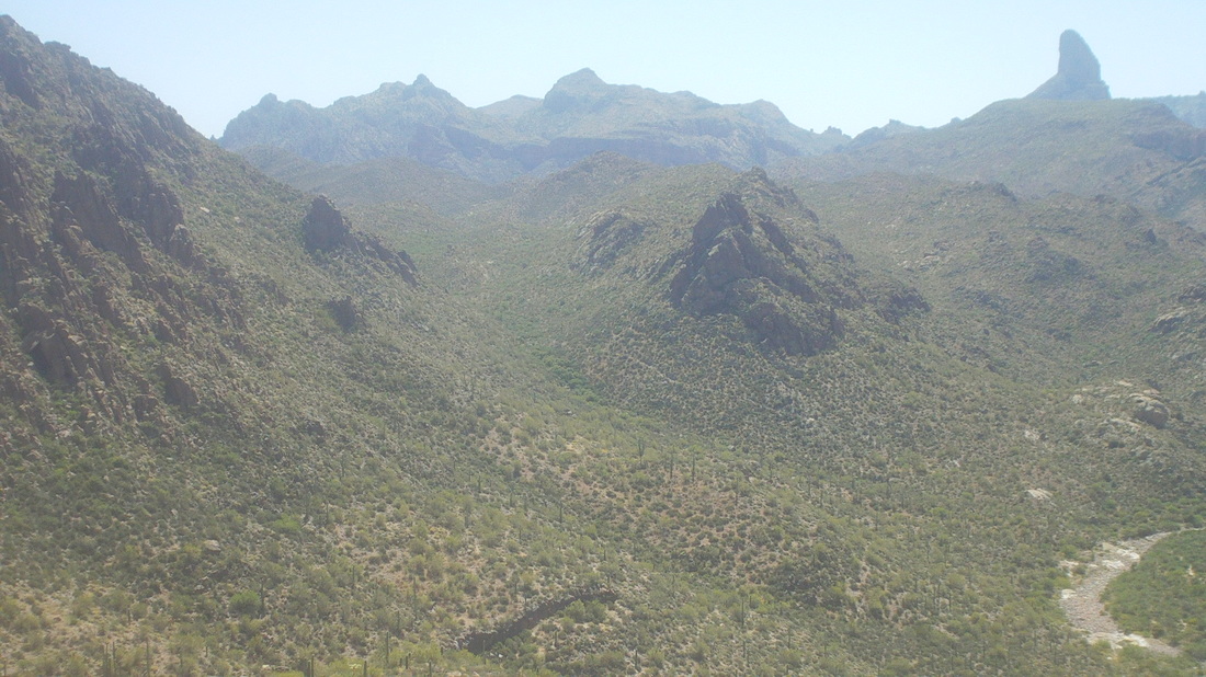
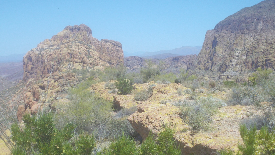
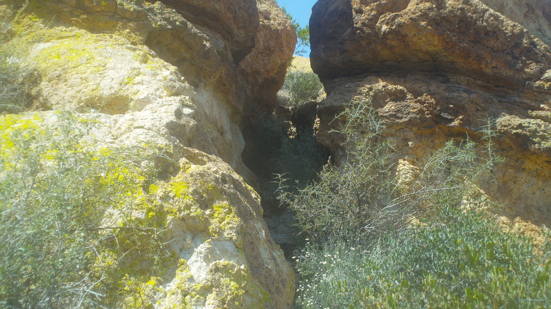
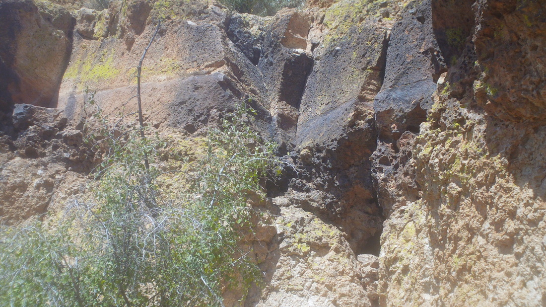
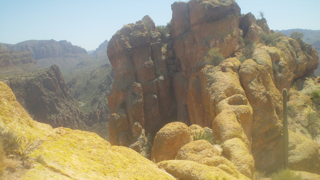
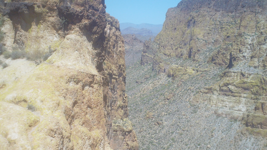
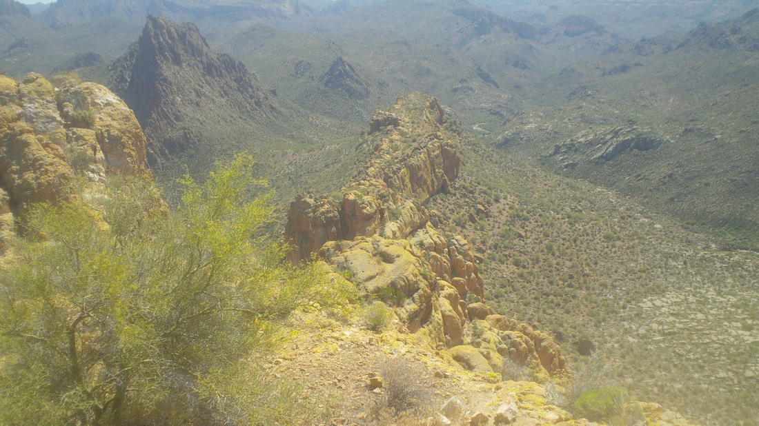
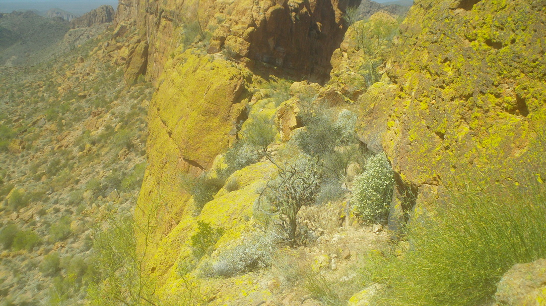
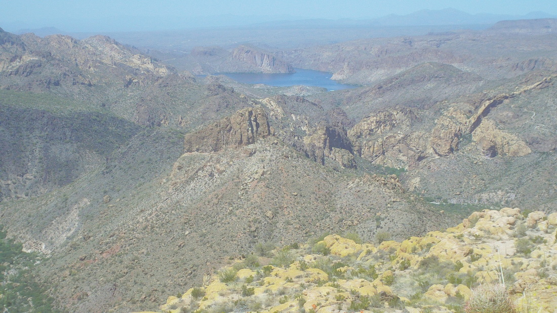
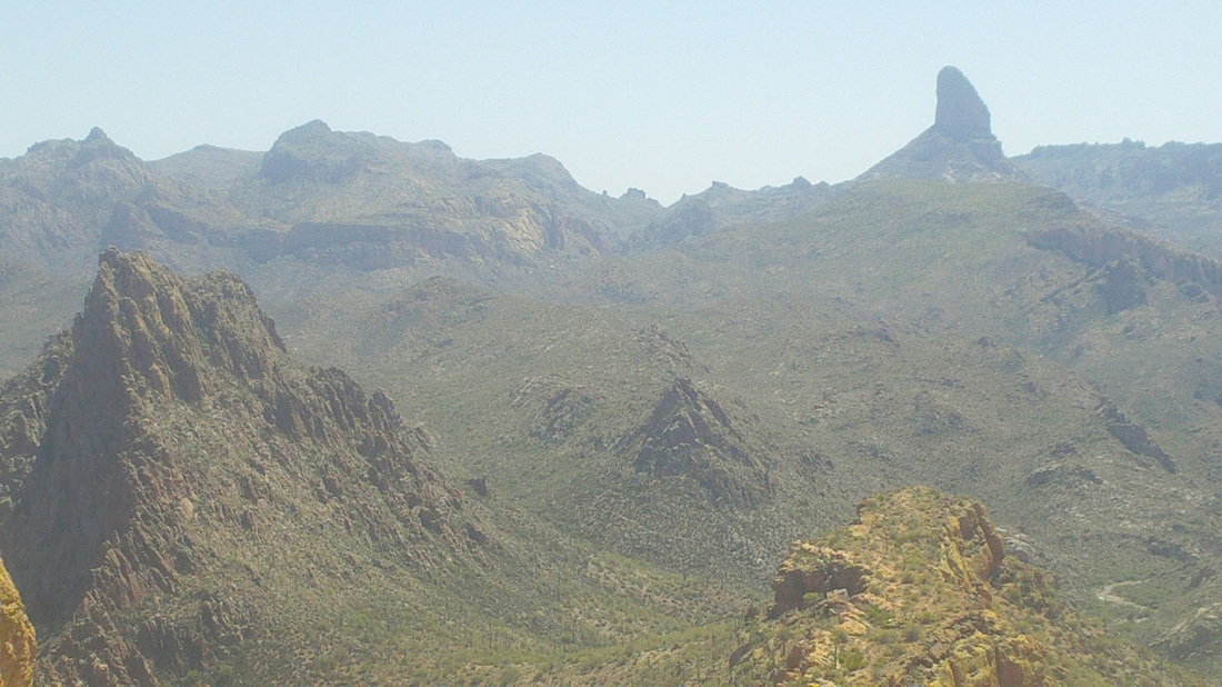
Monday was to be a windy day so rather than fight it on a bike I decided to have it cool me while on a hike, although at 85 degrees, it would be a warm wind. I hit the trail at First Water parking area at 9:00am. Soon I arrive at the Second Water and Black Mesa trail intersection and make a left, headed to "Green Valley" an unusually flat piece of walking for the "Supes" as the wilderness is called by locals. The hiking is easy prior to descending a very rocky trail to Boulder Canyon. The battleship comes in to view during the hike down. Because it camouflages so with the surrounding rocks, I have outlined it in red and in black, roughly showing the route to the top. Boulder Canyon has some pools of water but mostly it is walk in and alongside a dry stream bed. Having walked almost the length of the "ship", there is a pile of rocks that marks where to go off trail and begin climbing. Nearing the "ship's stern, I look back and get a good look at the creek bed. The way up was all bush whacking and I kept a close eye out for a rattler but did not see any, which surprised me but given the time of day, they are likely sitting it out in a nice cool den some where. At the bottom of the "ship" I look to the south and have good views of Weavers Needle. I arrive at the boulder with a tiny alcove, cache a hiking pole and back pack and climb the wall to gain access to..... ....the top end of the "ship". Looking ahead, the middle looks so close but it is almost a mile away and the route.... .....so much fun working through many obstacles including..... .....a 20' wall and a couple of...... ......rock spines that I "butt hike" (sit down on your rear and scoot along it) because of the exposure...... .....with plenty of more places having exposure that gives me pause. Almost there I look back. It all appears so simple and easy. Moving to the left side there is a narrow ledge with pea gravel, like walking on ball bearings. Really careful here before reaching the back side of the middle summit and then climbing up another wall to see..... ......Canyon Lake and then looking in the other direction.... ....Labarge Canyon on the left, Weavers Needle in the distance. I signed the summit register and headed back down, finishing with 12 miles. I stopped at "Lost Dutchman State Park", which is around the corner to grab a cold drink. While there, the ranger received a call from a couple who were on one of the trails and looking at a rattlesnake. They wanted to know what to do. The ranger said that was a first. I guess they were afraid to go around the snake because that would put them off trail. The ranger advised them just to sit it out and the snake would eventually move.
0 Comments
Leave a Reply. |
Categories
All
Archives
November 2023
|
