|
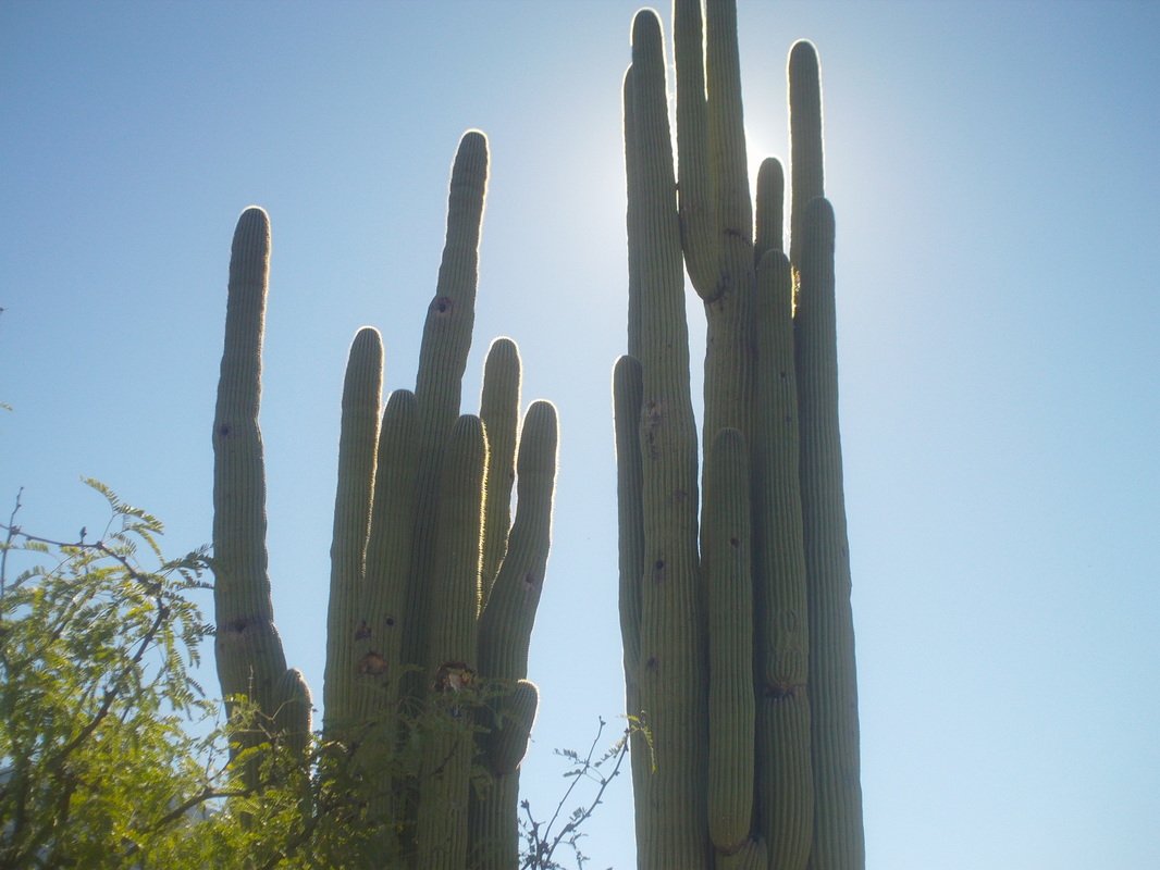
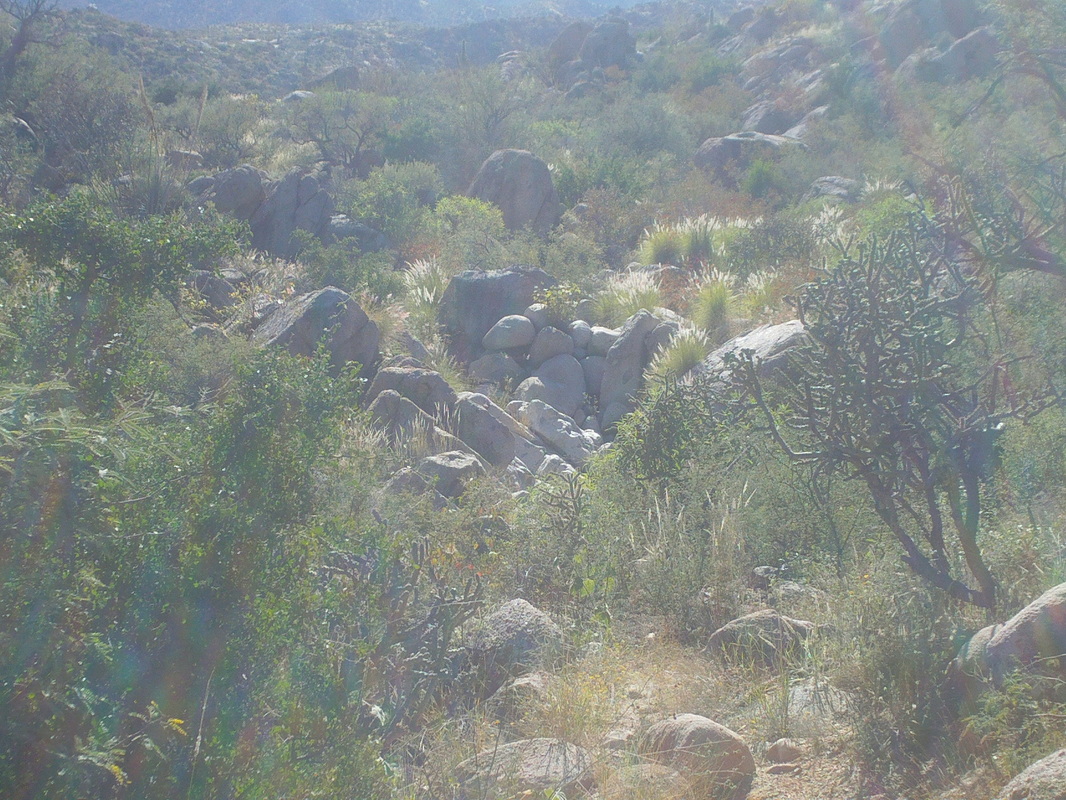
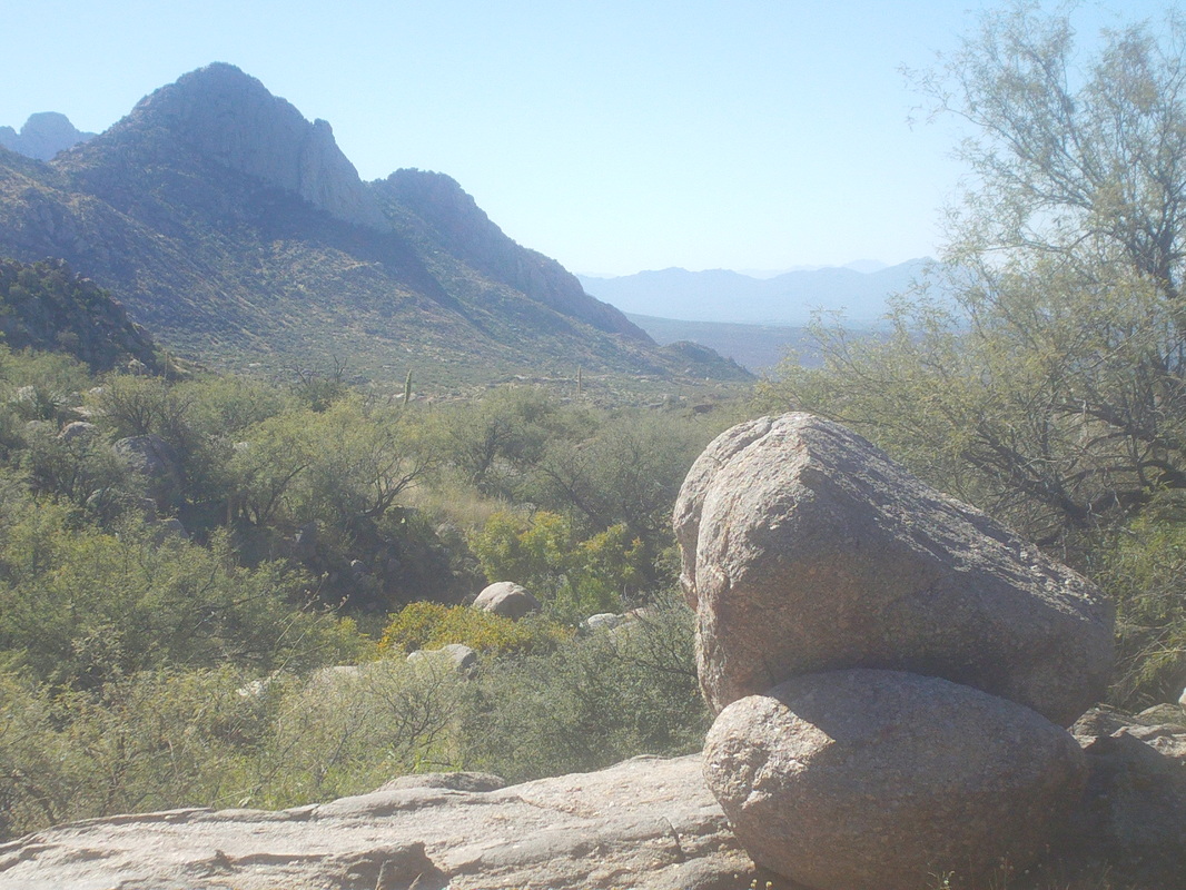
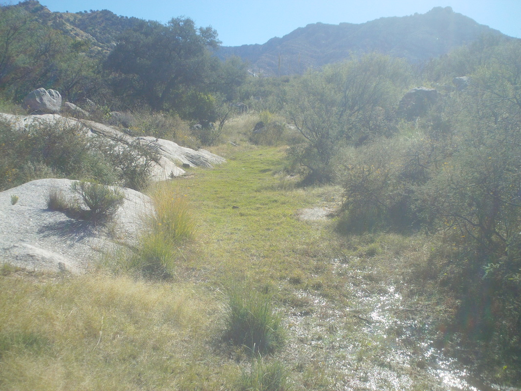
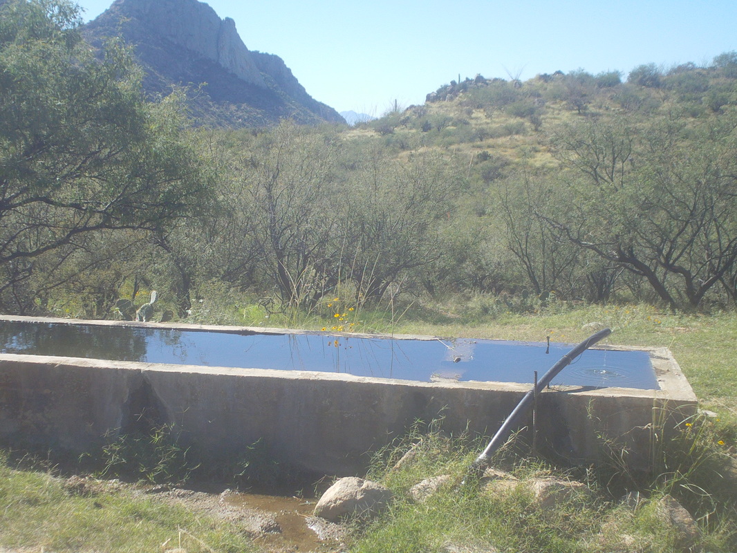
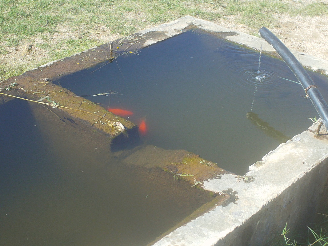
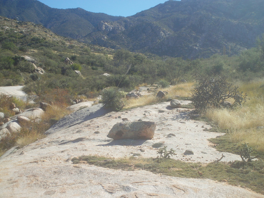
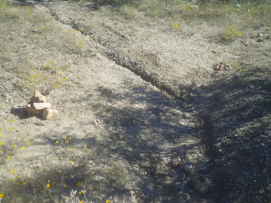
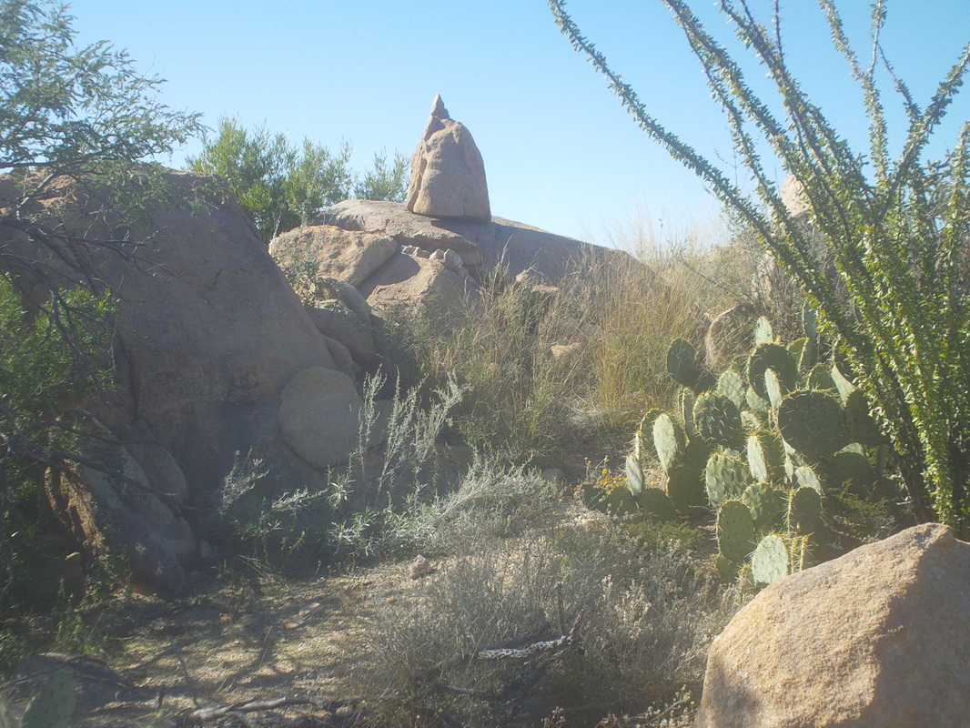
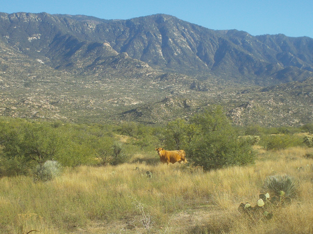
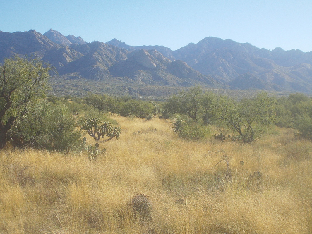
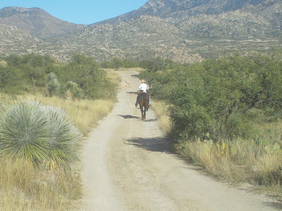
Getting off trail during Thursday's hike and getting mixed signals from the Garmin left me aggravated and motivated. So, after riding the bike on Friday, a mere 36 miles, I was ready to go on Saturday. I downloaded a different route to the Garmin and hoped it would show the way. I'll forego the images from the beginning of the hike as they can be found below but could no pass up another image of these giant saguaros with the sun rising behind them. The trail enters and exits a couple of ravines which support a colorful variety of plants. The revelation today was, after thinking I had gotten off trail on Thursday, I discovered I was on the trail after all. It is very reassuring to look at the Garmin screen and see the triangle icon that represents my position is exactly on the red line representing the route. How bout that!? The trail emerges onto a rock ledge..... ....opening up amazing views to the south. One of my favorites to be sure. Soon thereafter, I arrive at another ravine to cross but this one has a broad bottom with a thin layer of water which supports grass. very cool. Then I reach this trough that supports some cattle in the area and likely lots of other animals. Would be great to see a video clip of what arrives at this each evening. I passed a couple of hunters who had spent the night, scouting for a future hunting trip. They saw lots of deer and other animals but not a lion. Had they seen one they were going to shoot it. I think it is always open season on them but not sure. Gold fish, which are there to eat mosquito larvae were present, along with maybe minnows, of which there were many. Near the end of the trail, I entered something known as "Rock Meadows" which is an expanse of slick rock. I could not find the trail out of it but hey, I've got a Garmin and so whipped it out, looked at the red trail line, looked at where I was and used it to find the FREAKIN TRAIL!!!!! HOW BOUT THAT!!!!!!! This has to be comparable to the feeling Neil Armstrong had when he stepped on the moon, when women were given the right to vote, when the Buckeyes counted down the end to the national championship game, etc... The end of the trail is very anticlimactic. 99% of my hikes end at the top of a mountain but this ends at a rocky forest service road, the above not being it. Instead, the above, for those who find this during an internet search for this trail, is where I screwed up on Thursday. I went slightly to the right, arrived at a ravine and thought the trail ended, came back and took the left fork and that just keeps going and going. As it turns out, going slightly to the right is the correct direction. On the hike back, I passed this among many interesting rock formations. Thinking it has not been named, I named it "The Kaiser". A cow stares at me. I stop and stare back, playing the "eye blink" game. It blinks first so I won. The final mile is along a very rough dirt road but it affords great views of the area. A woman passes me riding her horse with two well behaved dogs in the lead. I finish with just under 12 miles.
0 Comments
Leave a Reply. |
Categories
All
Archives
November 2023
|
