|
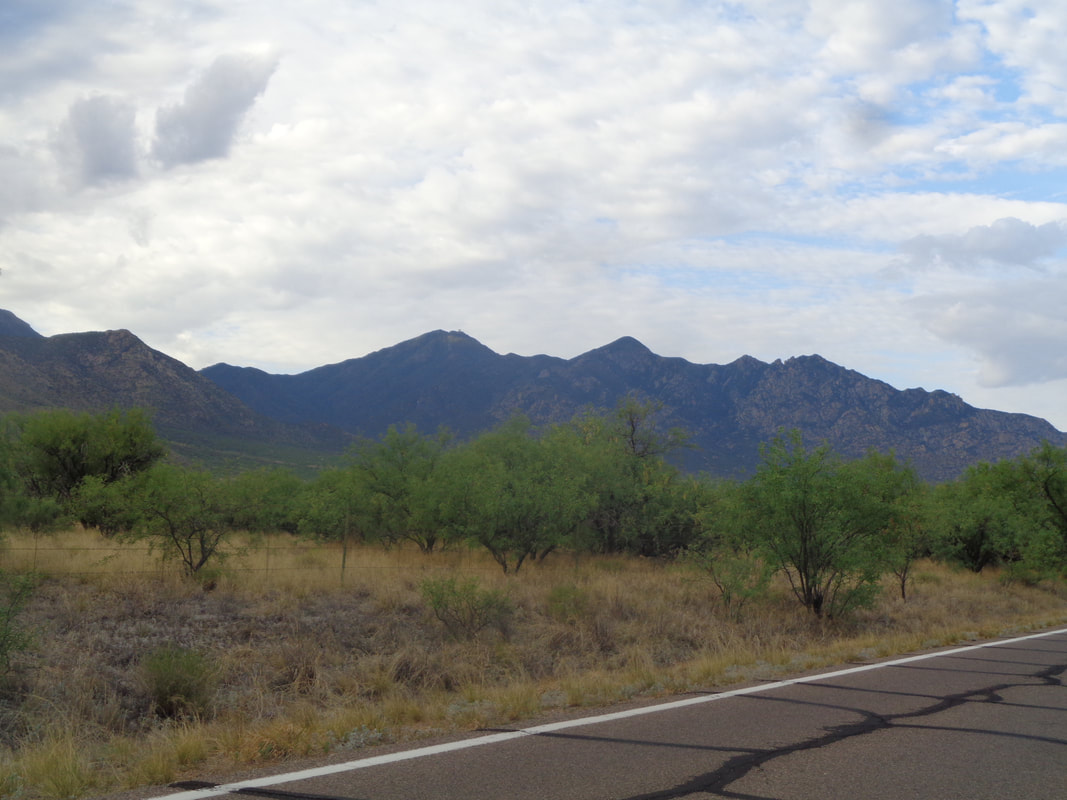
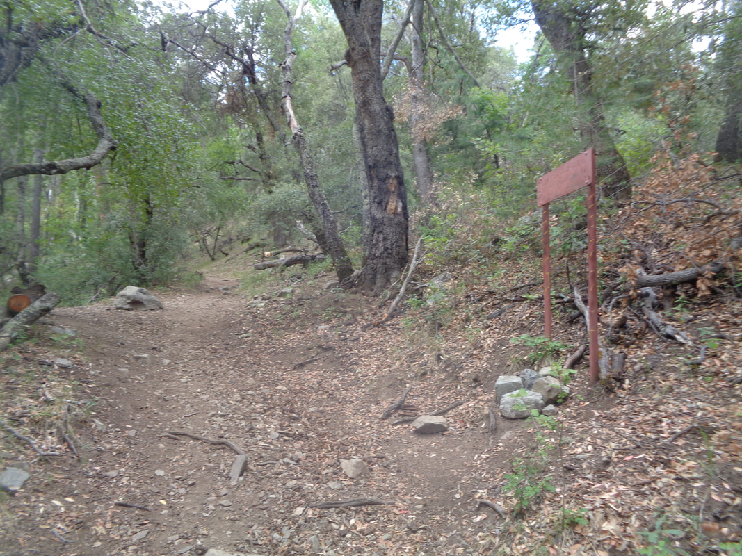
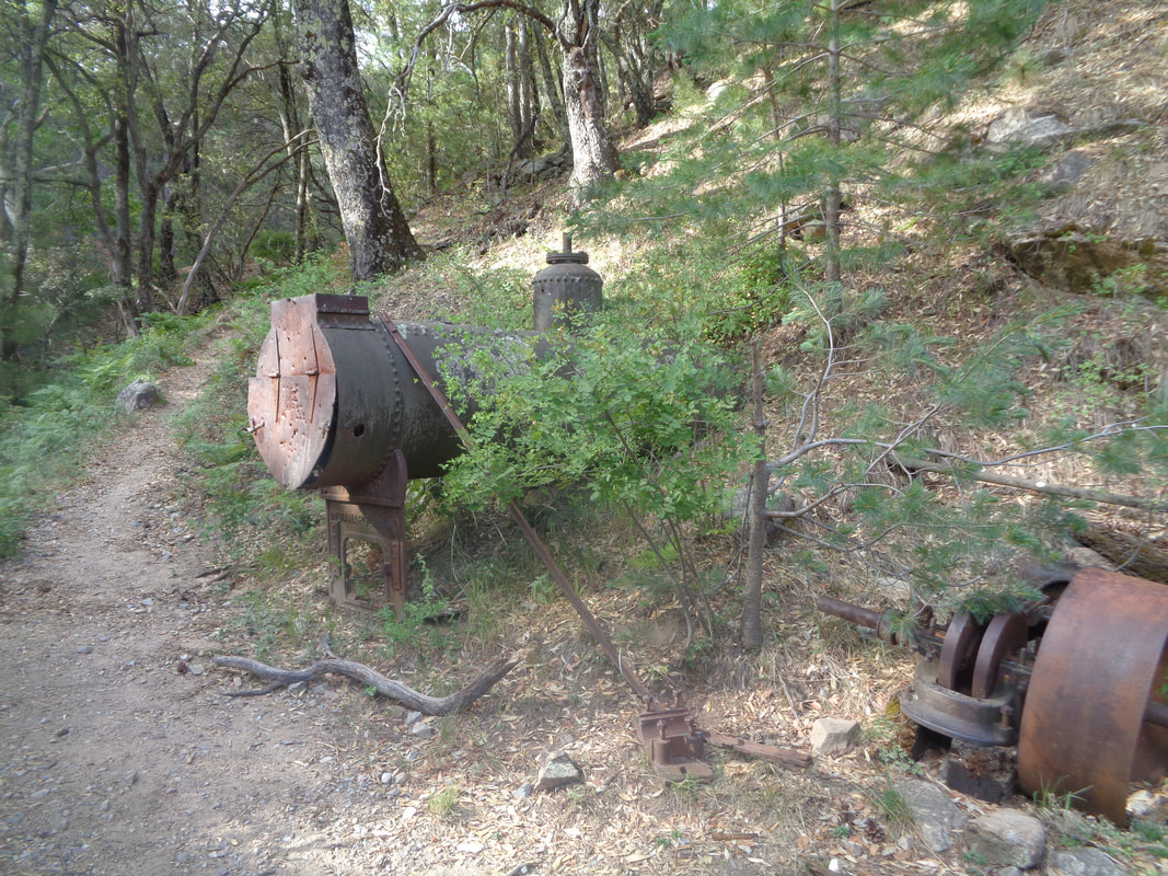
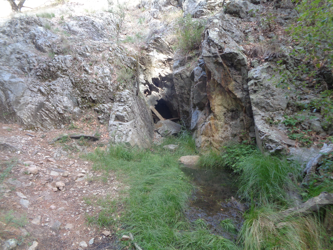
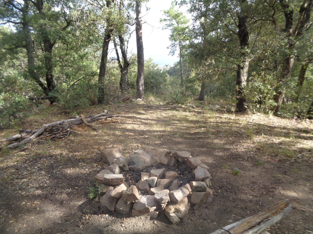
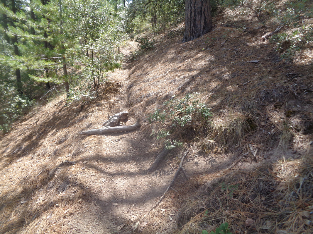
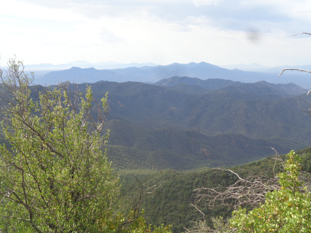
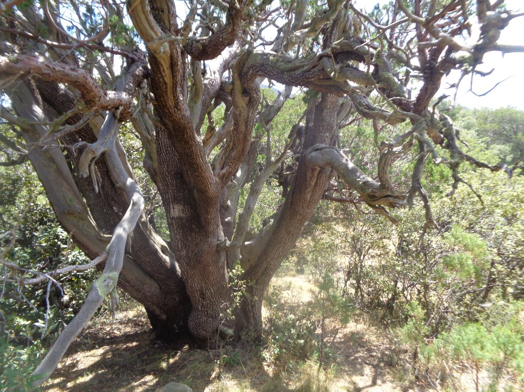
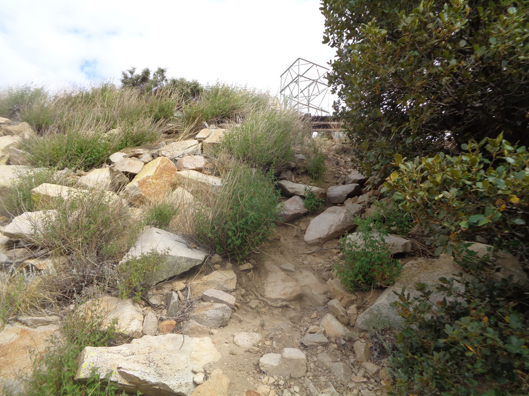
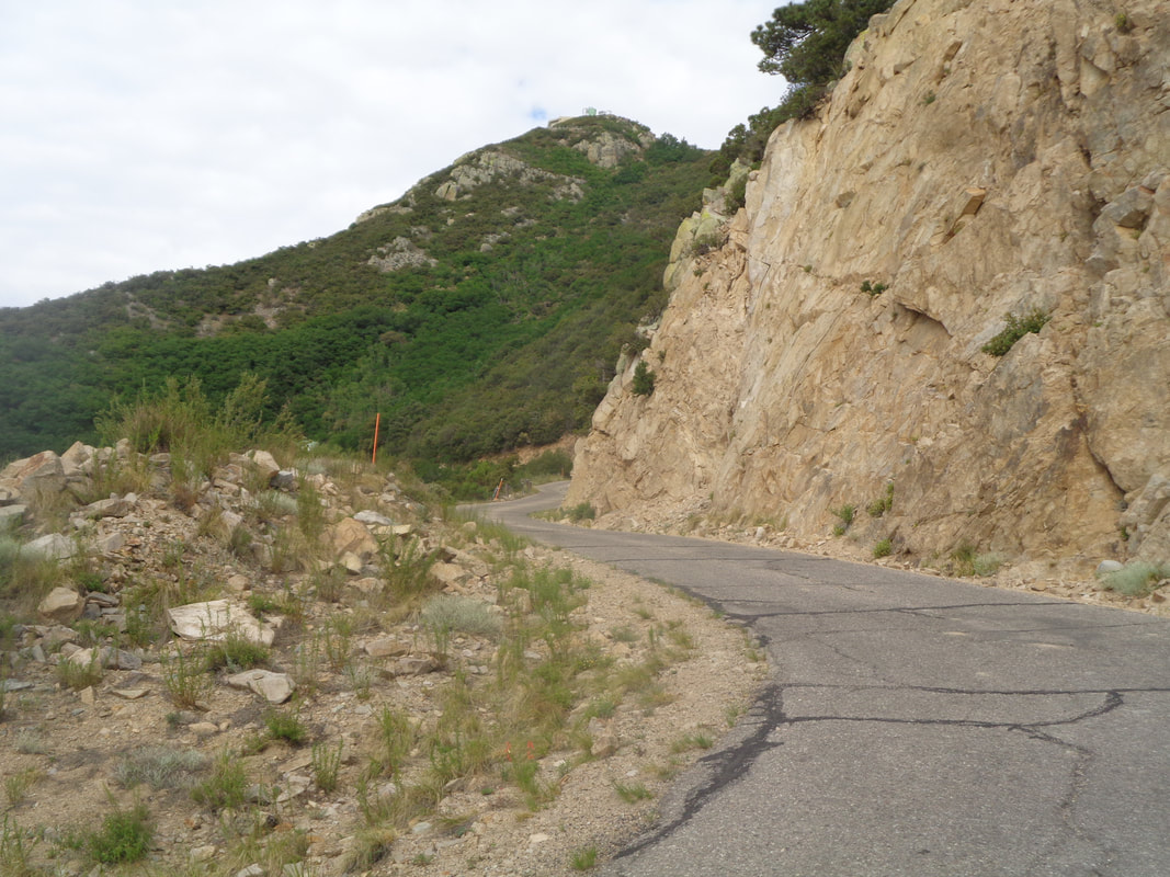
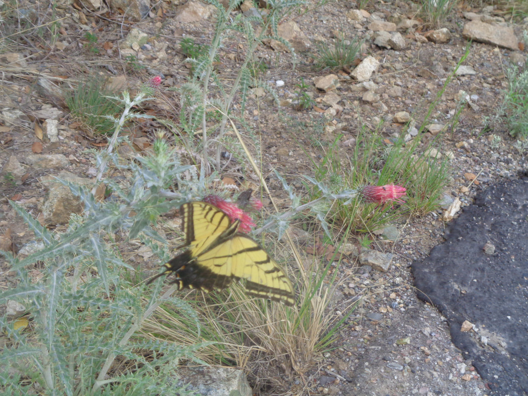
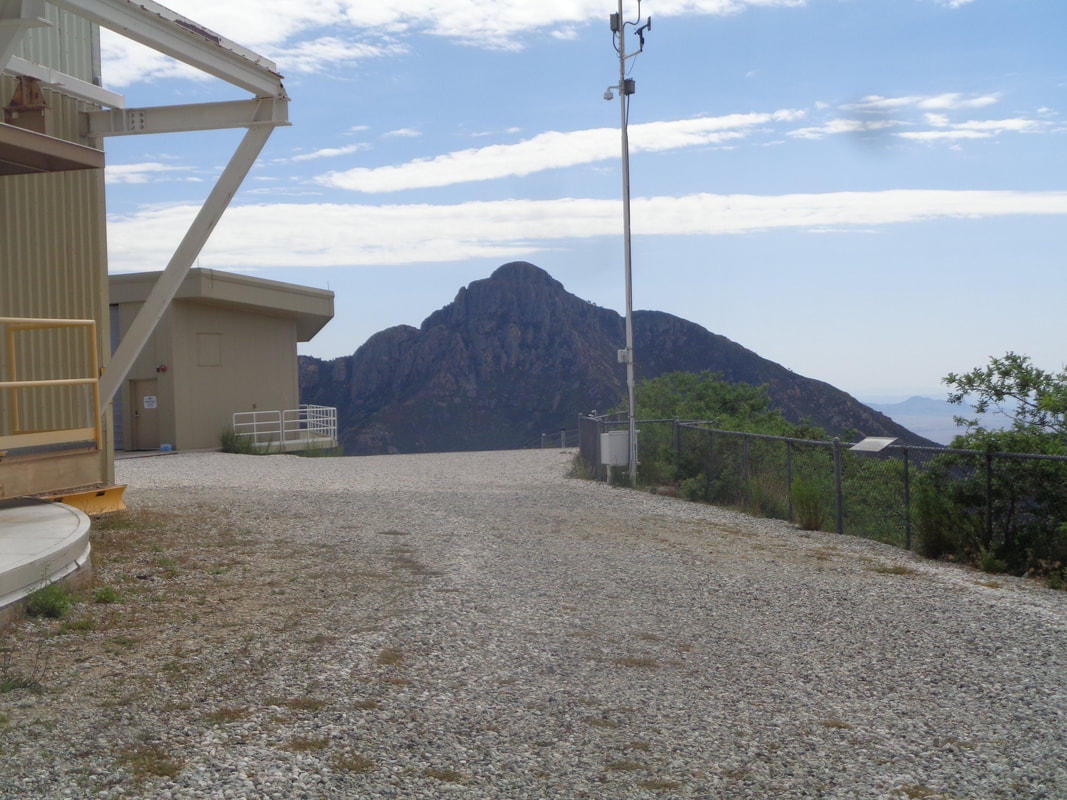
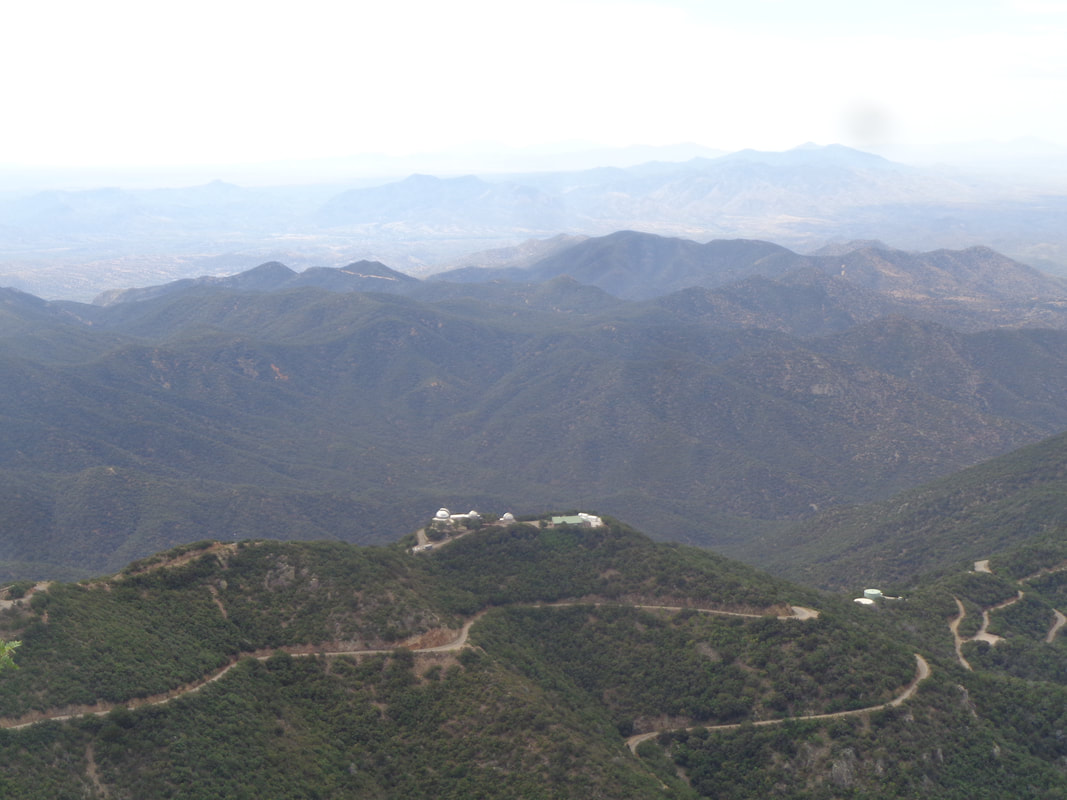
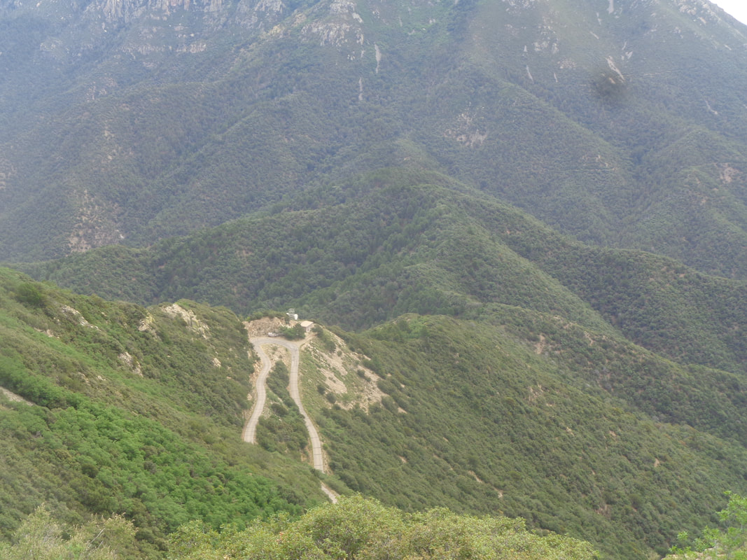
I headed south again to Madera Canyon to complete Monday's intended route to Mount Hopkins. The trailheads are at approximately 5000' so the day's high will only be in the mid to upper 80's. It's early, 7am, when I shove off but it has been light since 5:30am. It's not as important to get a super early start as it would be if hiking elsewhere. From a parking lot filled with cars I begin ascending. I pass Old Baldy trail on my left, walk past the wickedly steep Vault Mine trail on my right (which I had taken last Monday) and continue on the Carrie Nation trail. As I climb higher, well above 6000', I find an..... ….old boiler and soon thereafter.... ….walk by the entrance to the Carrie Nation mine which dates back to the early 1900s. I have read the mine was mostly used to extract copper. There is a pool of water in front of it. I walked to the entrance and peered into the blackness but that is as far as I would go. I continued up as the trail transitioned from rocks and boulders to..... …..smooth dirt covered with pine needles and even found a nice campsite. Other hike reports state there is an "End of Trail" sign either down at the mine or around here but it is long gone. What follows is a well worn route and easy to follow. There are enough..... ….side routes that you ought to have a gps track to follow. I went right at the above intersection interpreting the logs laying across the trail (sometimes people use large rocks) as an obvious sign that right is the way to go. At another intersection, a trail went left but down hill so I went right and continued a steep slog up to the Aqua Caliente trail. By steep I mean an average of 24% for about half a mile. I make a right at the Aqua Caliente trail and enjoy a flat walk of .02 miles until I come to a rock cairn indicating this is where I make a left and climb .06 to Mount Hopkins Road. Along the way the views open up of mostly forested hills. It reminds me of the drives in WV, VA and PA when on my way to obscure towns where crazy 100 mile/10,000' biking events are held. Crazy too is knowing today I will walk 8 miles and gain 3100' of climbing. Makes one think a 100 mile ride with "only" 10,000' of climbing would be easy but of course it's not. I pass an impressive stand of Juniper trees and this one is one of the largest I have encountered. While it doesn't appear too healthy, it is and doing well. The unnamed trail from AC to the road is also steep and seems longer than .06 but at last, the final slope to the road. An abrupt change as I now walk about 1.5 miles to the peak and the observatory. Don't have to watch for rattlers or cars as it is Saturday and the pavement is wide. In the distance, the peak and observatory. Plenty of butterflies visit plenty of flowers along the road and at last.... …..I reach the peak. It takes me exactly 1:59:59. The average grade for the entire hike is 14%. In the distance is Mount Wrightson. There are three signs that identify the various mountain ranges, some at a distance of 97 miles and they are easily seen. I also am watching the horizon for a sign of storms approaching from the southwest as monsoon season is upon us. It is becoming dark in that direction so I begin the descent and see.... ….the bend in the road where I will exit and start the series of trails, which I manage to negotiate, to find my car. A good day without incident but tomorrow....I see my first ever black rattlesnake!
2 Comments
Deb
7/14/2019 01:10:24 pm
Your pal's comment was SO apt: you WERE on the correct route. God bless all your future hikes. Well done.
Reply
Bonnie
7/16/2019 12:51:24 pm
Every where you go there you are
Reply
Leave a Reply. |
Categories
All
Archives
November 2023
|
