|
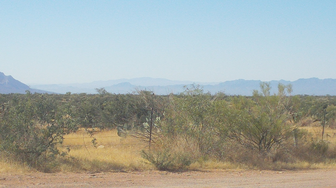
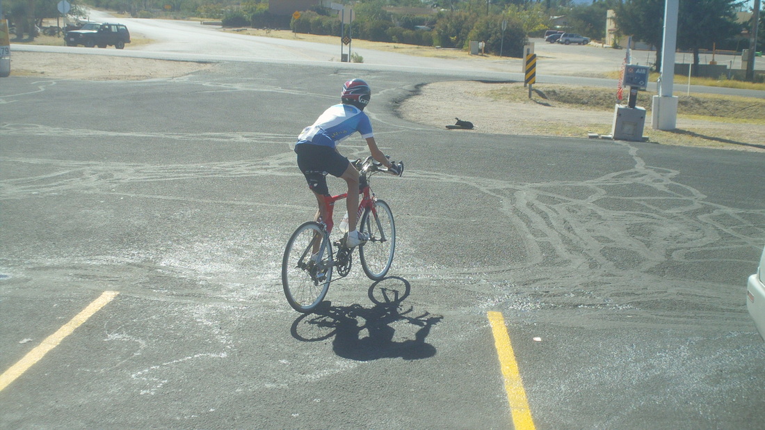
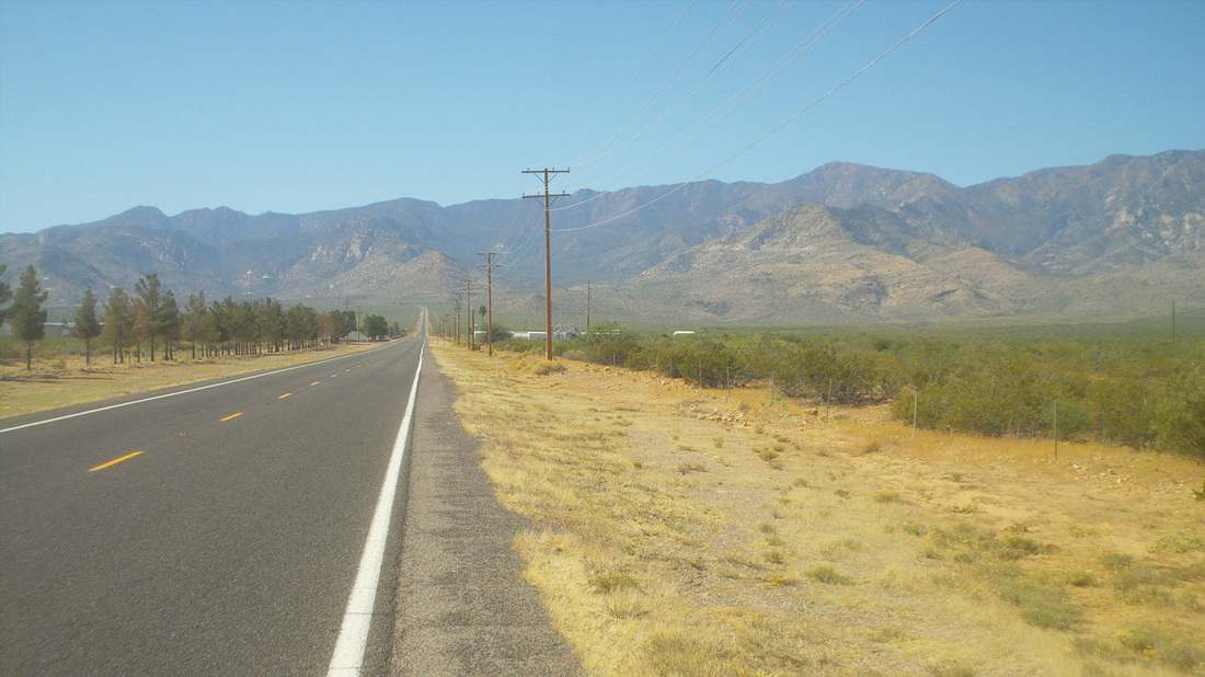
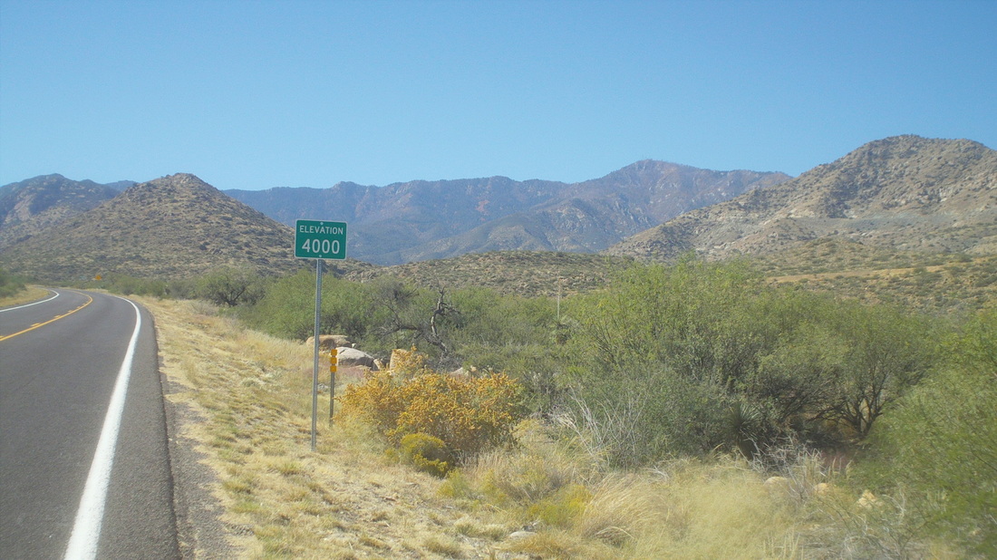
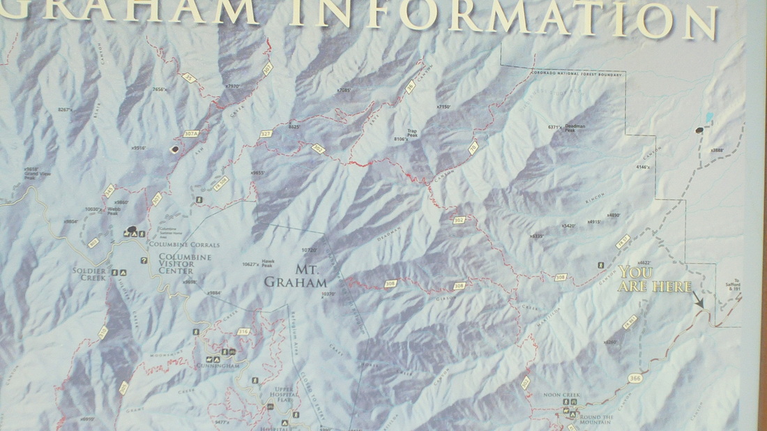
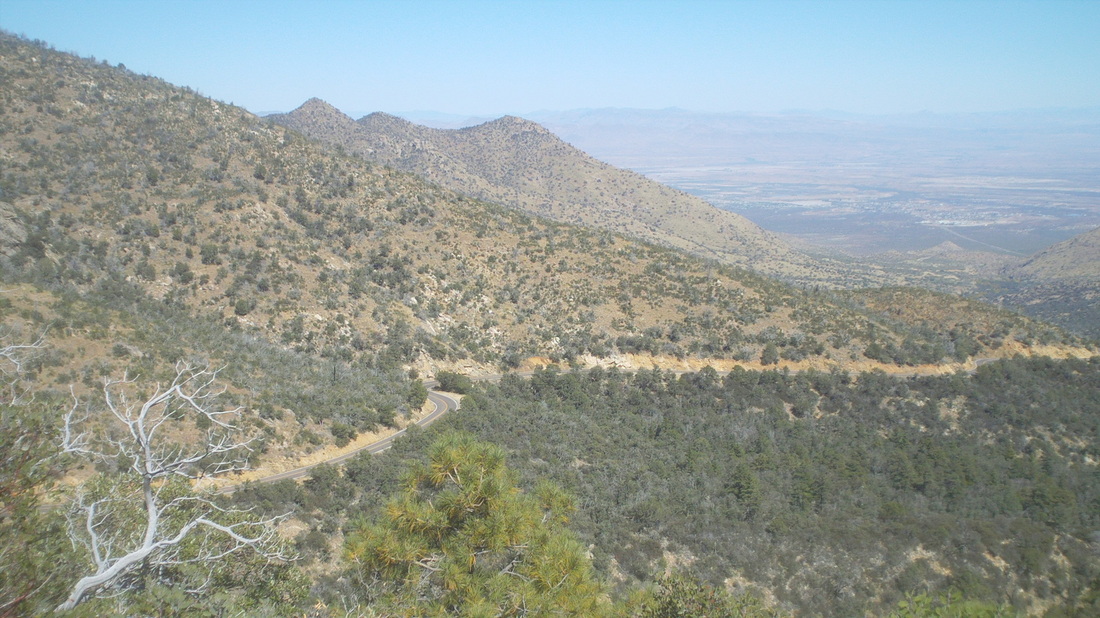
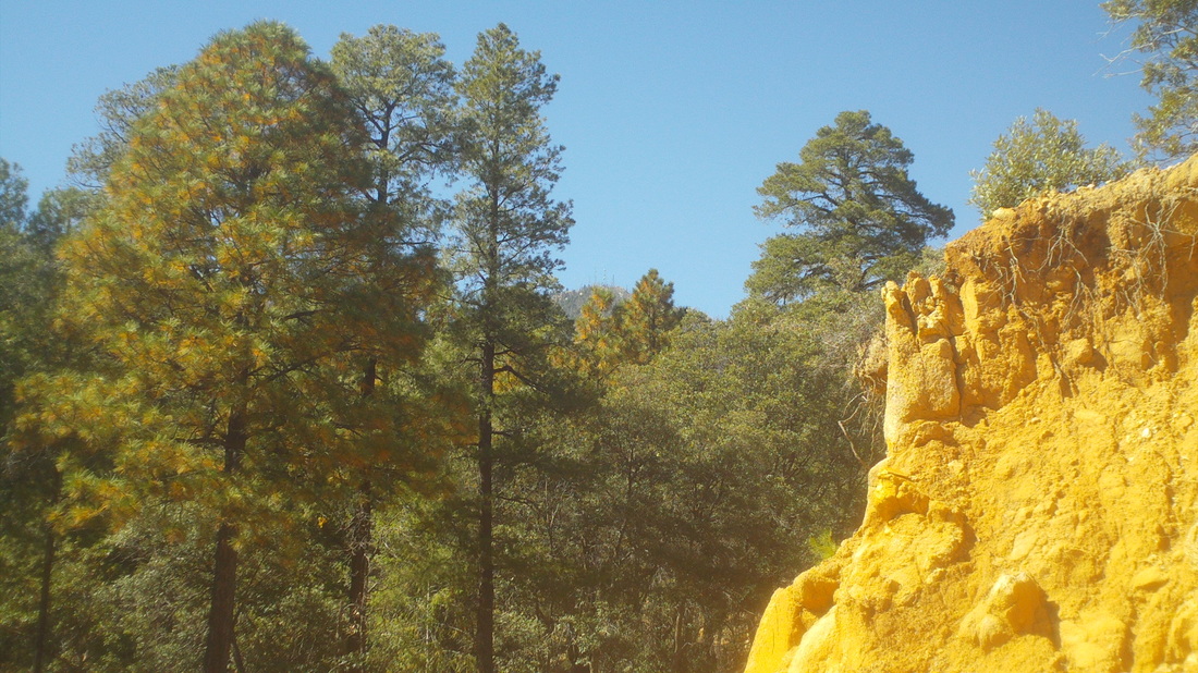
So, arrived on Friday evening, got everything opened up at the condo, picked up the necessary supplies at the "Frys" (the southwest's version of "Krogers"), pulled the bike out of its 4 month hibernation in a closet, got it running and good to go for a Saturday ride. I headed north on Oracle Road through the town of Catalina, past the retirement community of "Saddlebrook" (was in the national news yesterday when a 60+ year-old guy found his 60+ year-old wife with a 24 year-old man and shot him) and to Oracle. I ran in to "Theresa" a very fit woman probably around 65 who regularly wins half Ironman events in her age group and finished 4th in this years 'Worlds" event in Las Vegas. After refueling, I headed back to Oro Valley, 47 miles, 2500" of climbing and in time to watch the Buckeye kick-off. The next day I drove 135 miles to the base of Mount Graham. At close to 11,000' elevation, it is Arizona's highest peak and one passes through five major botanical regions on the way to the peak. It is similar to driving from Mexico to Canada but in only 30 miles. Each year, the Arizona State Road Race Championship is held here was participants go from the base to the 20 mile mark but the road continues onward and upward but rolling thereafter to mile 30. Close to the base is a market and federal prison. I stopped at the market and inquired where I may be allowed to park. The two ladies working in the market said I could park next to their cars and I pulled in, got everything together and prepared to shove off. I had two water bottles and a 3rd in a rear pocket as I had heard there was no water along the route. One of the ladies came out and I asked if there was water anywhere on the route. She replied, "What do you mean by water?" This had me stumped but I replied, "Drinking water" as if that couldn't be obvious and she shrugged and said she did not think so. I hit my Garmin and headed up.. The Garmin searched and searched but could not acquire a signal. I chalked it up to the extensive power lines running in to the prison and figured I'd get a signal eventually. Five miles later I did. I arrived at a sign and paused to check the route. I paused to wonder how much farther I wanted to go. I had intended this as a scouting mission rather than attempt the summit. The miles ticked by and even though there is no berm along the road for a bike, there is also no cars. On the way up I had a car pass at the rate of one every 2 miles and maybe one every mile coming down. Talk about remote. This is in the middle of no where and while the sign above indicated there was water available, that was at two spots and only from Memorial to Labor day. Around mile 10 I paused to snap this image. Damn, this was steep and much more difficult then Mount Lemmon. Lemmon is ranked the 9th most difficult climb in the US while Graham is #8. Big difference. Saw a rather large snake along the road so turned around to check it out but not a rattler, just a really quick snake that slithered away too fast for an image. Reaching mile 12, I stopped, took an image of the destination, which you can barely see above with the antennas on the ridge, through the trees. The temperature up there was in the low 50's and I didn't have the right gear so stopped and plan to go back soon for the full summit attempt. From bottom to top the elevation gain is almost 8000'. Well, time for a hike.
1 Comment
Corvair
10/23/2013 10:08:56 pm
Wow nice views! Bet you're glad you aren't in Ohio. high of 48 today! I'm riding the recumbent tandem with Andrew on Saturday. That should be an adventure :) Enjoy the sun!
Reply
Leave a Reply. |
Categories
All
Archives
November 2023
|
