|
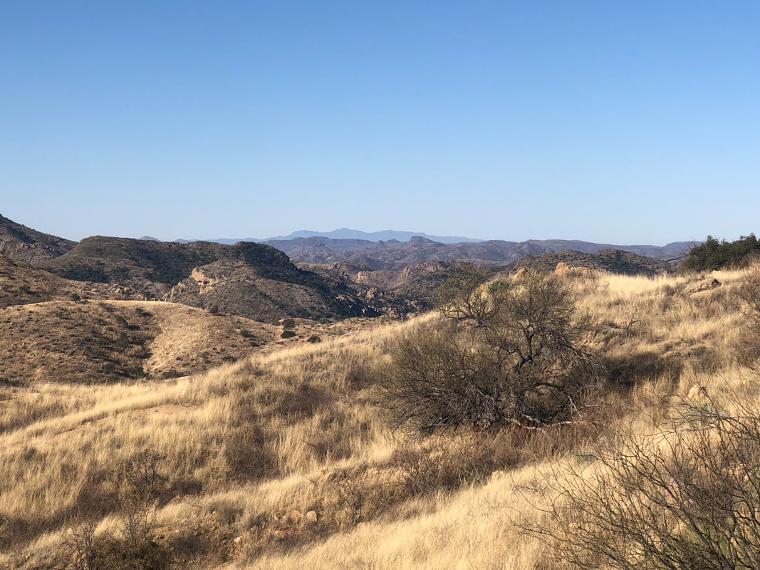
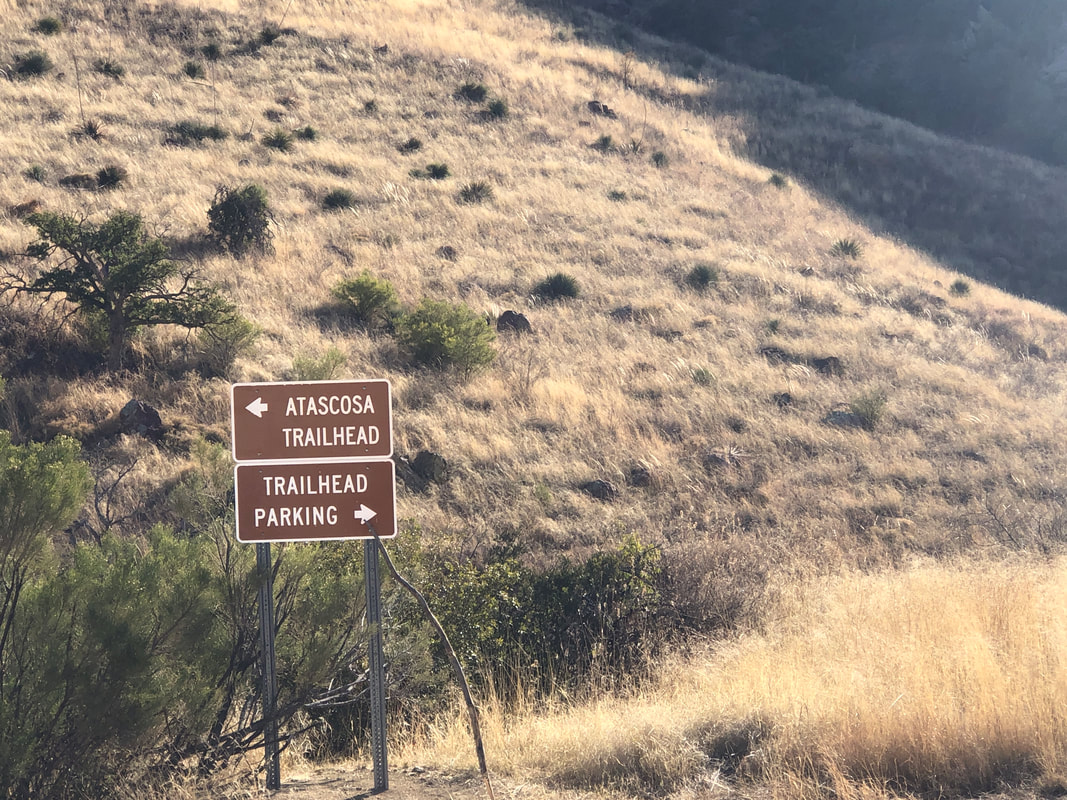
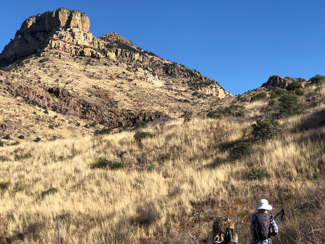
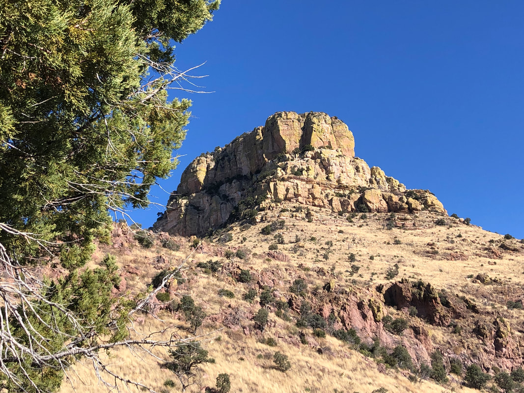
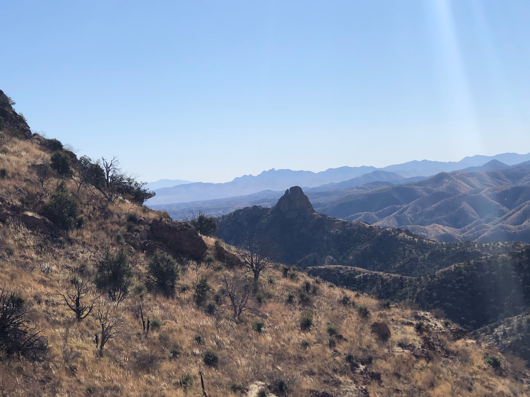
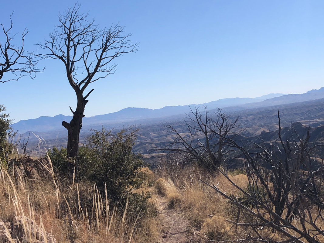
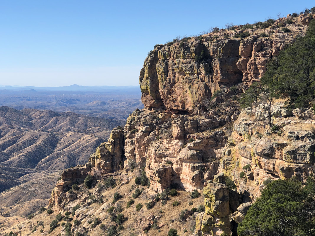
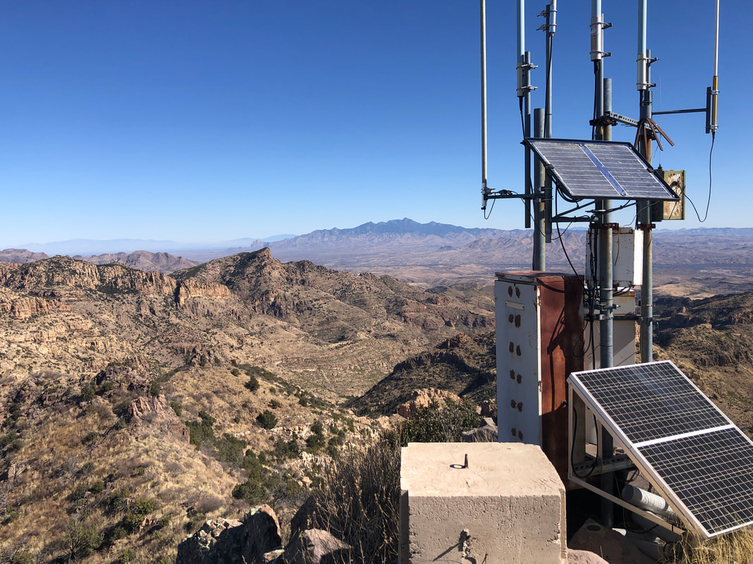
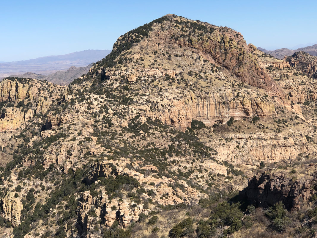
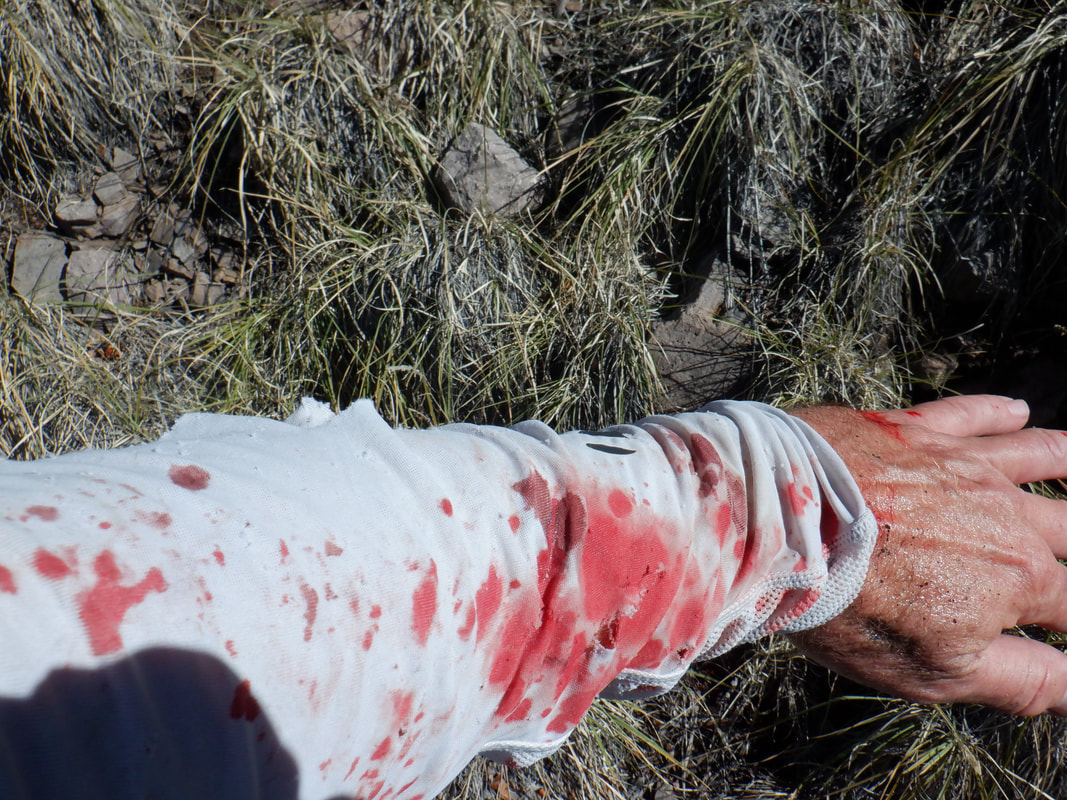
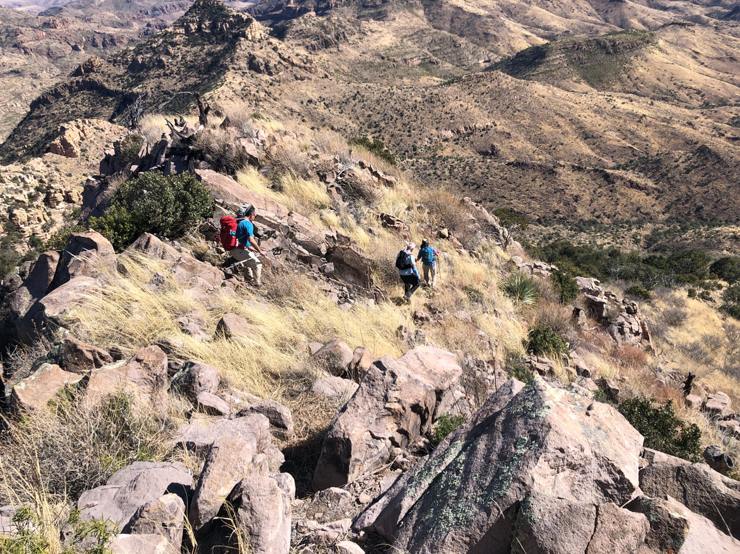
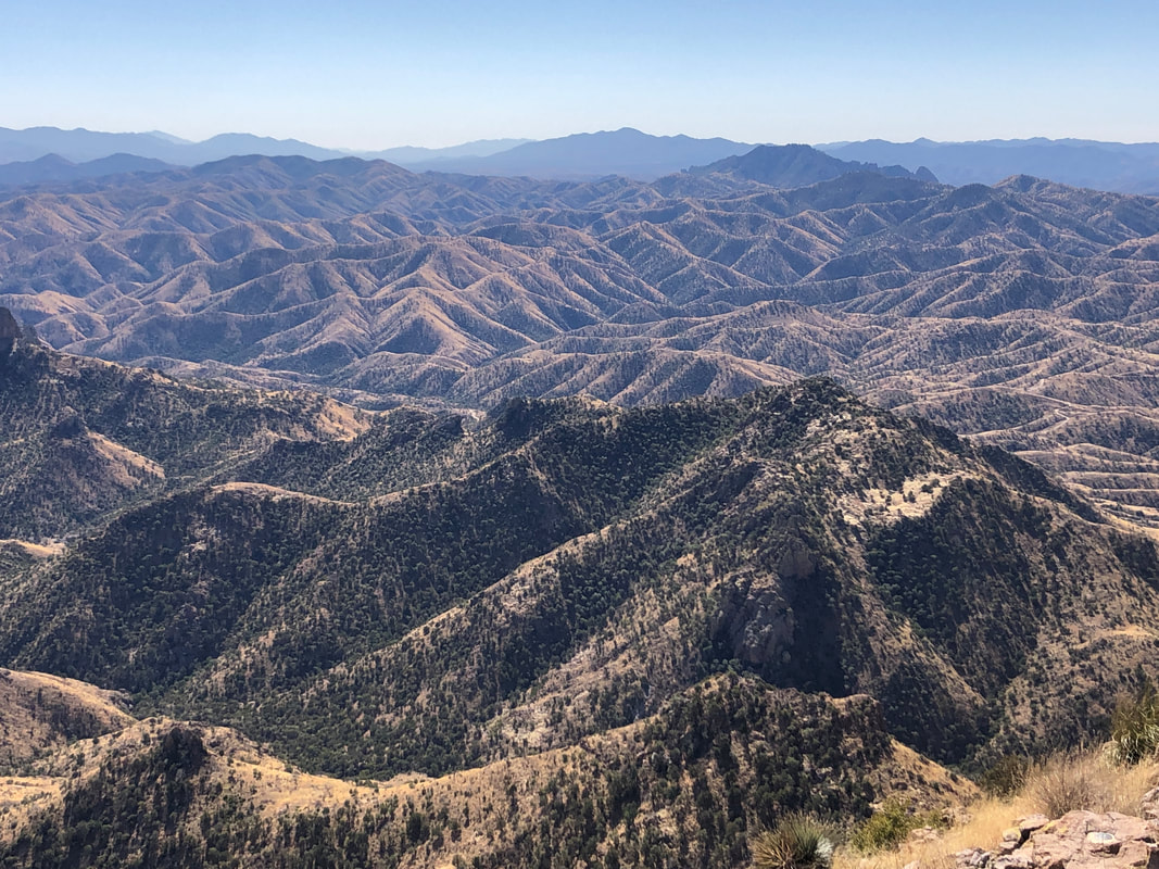
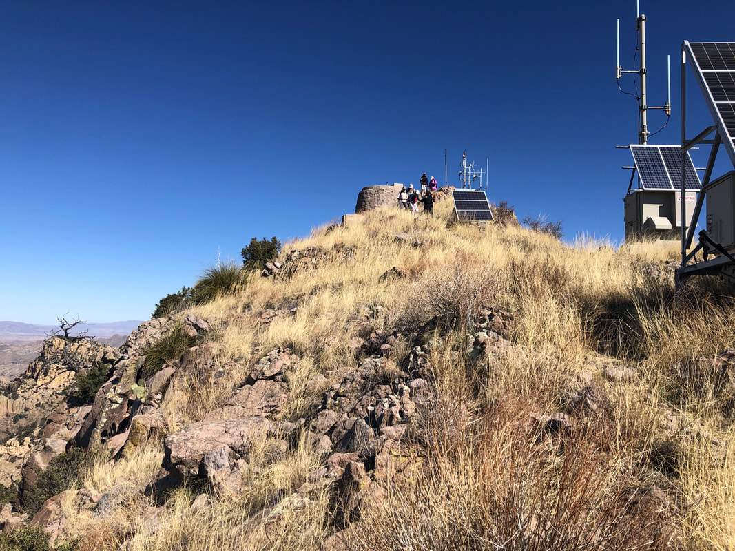
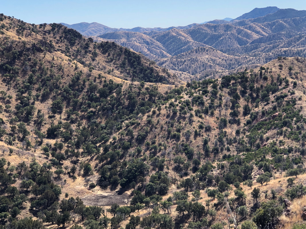
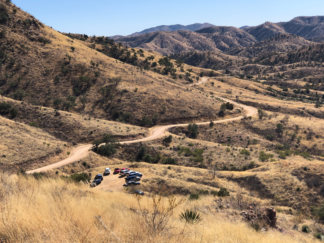
You know it's going to be a scenic hike to a peak when the views are already fabulous at the start. Ok, about the start.... groan. I had simple written directions of drive 7 miles from I19, hang a left on FS39 and 4 miles, we're there. We drove 9 miles, no road, no internet so turned around, drove back to I19 to pick up service and discovered, #39 was at 9.5 miles from I19!!!! We had just missed it. We (Amy, Marcia and I) arrived about 30 minutes late. Of course the gang had already departed as was the correct choice, at 10 minutes after the appointed time. I was glad that two of the group, Lorna and Marc, had previously hiked the trail so the group would be in good hands. As we climbed, we gained cell phone service and made contact with the group. They were somewhere around the base of that blocky structure on the left. To the right of that, just peering over a ridge is Atascosa Lookout, our destination. The average grade of the ascent is 6.5% which isn't much but that is skewed by several "flatish" sections, one of which travels the length of the blocky structure. The views of course are awesome as we can see well into Mexico. When last I was here, a large trash dump just across the border was burning, obscuring too much of the view but.... ....not today. We round the afore mentioned structure and begin climbing again. We reach a saddle to begin the final ascent to the Lookout and hey! The gang had been waiting occasionally and we finally caught them. We all made it. We sat on the foundation of a fire lookout tower that burned in the Murphy fire of 2011. And then, a discussion ensued about.... ....Atascosa Peak, 1 mile distant with about 1000' of additional climbing. I can't say I was all that enthusiastic about hiking to it as the last time I did it.... ....my arms were shredded from shoving through acres of catclaw. Lorna, Marc, Jeff and Dee planned to go and I gave them rudimentary directions which basically is, "Stay on the ridge and climb the cliff bands directly in front of you." They headed steeply off the corner of the Lookout but Dee soon came back, as did Jeff as he thought the round trip effort would make him late for an obligation later in the day. To Lorna and Marc's credit, they made it and shared that the bushwhacking wasn't bad. On my prior visit, I must have taken a bad line. Those that remained, lingered a bit longer, admiring the incredible colors and views. Then, we began the 2.5 mile descent. The trail is easy to follow and soon I found myself out in front, separated from the group. I enjoy the sounds of being in the wilderness so kept out front, pausing occasionally to make sure I could see the others. I can't claim to be a hike leader today, having missed the ascent and everyone could follow the obvious trail on the descent but it was a great hike that I organized, lol. Bottom left of the image above is a cow pond, currently empty. The cow pond signals I am near to rounding a corner and..... ....coming into view of the remainder of the hike. Ended with 5.4 miles and 1500' of climbing. Too bad it's a 1:40 drive from home or else I'd schedule the hike again, soon and do the peak. Maybe in a month or two.
0 Comments
Leave a Reply. |
Categories
All
Archives
November 2023
|
