|
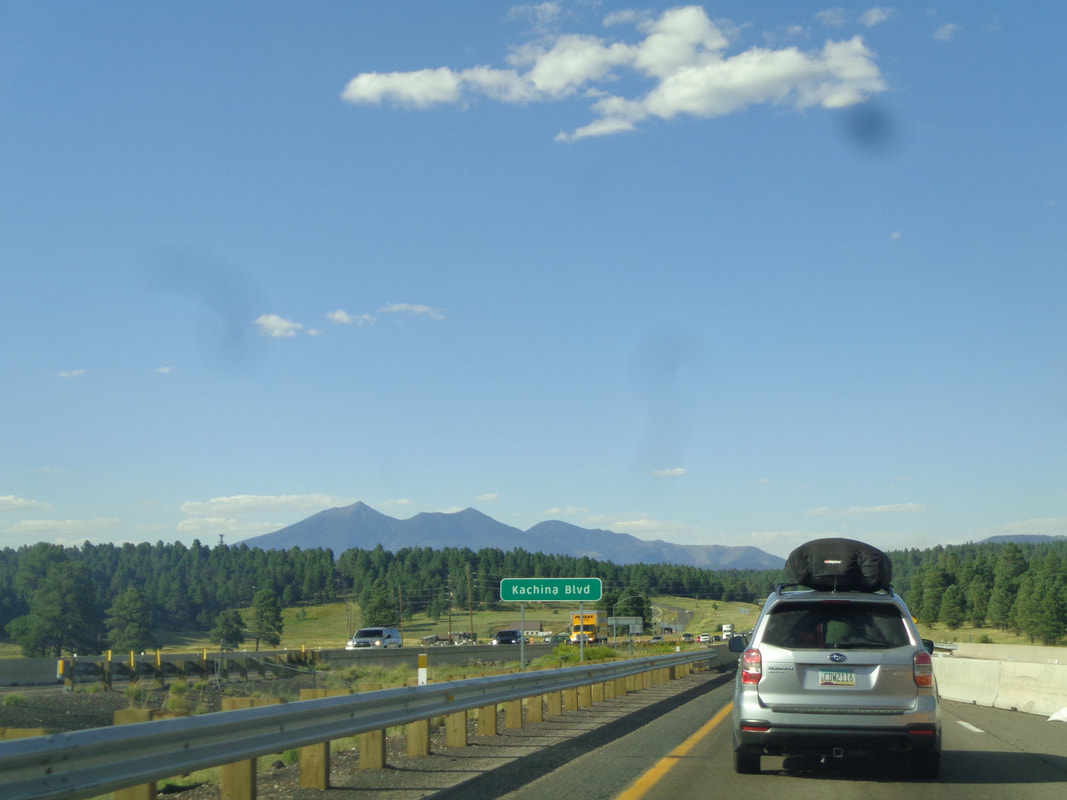
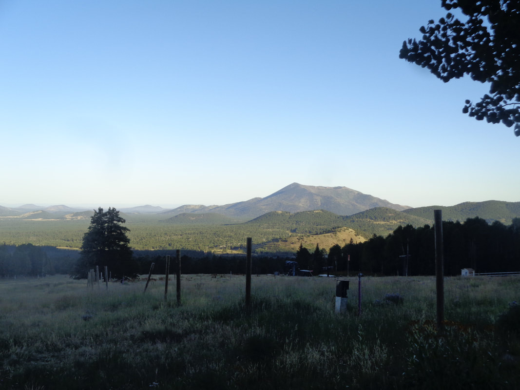
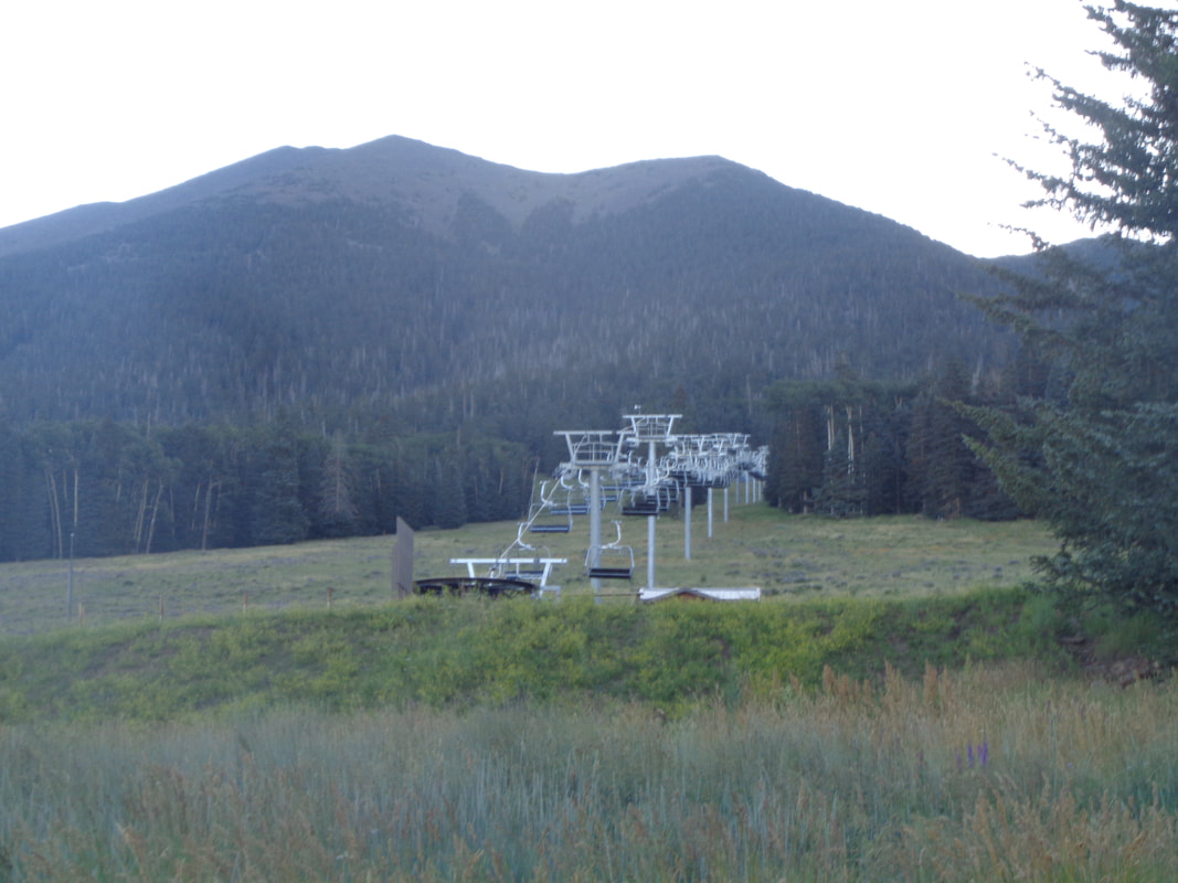
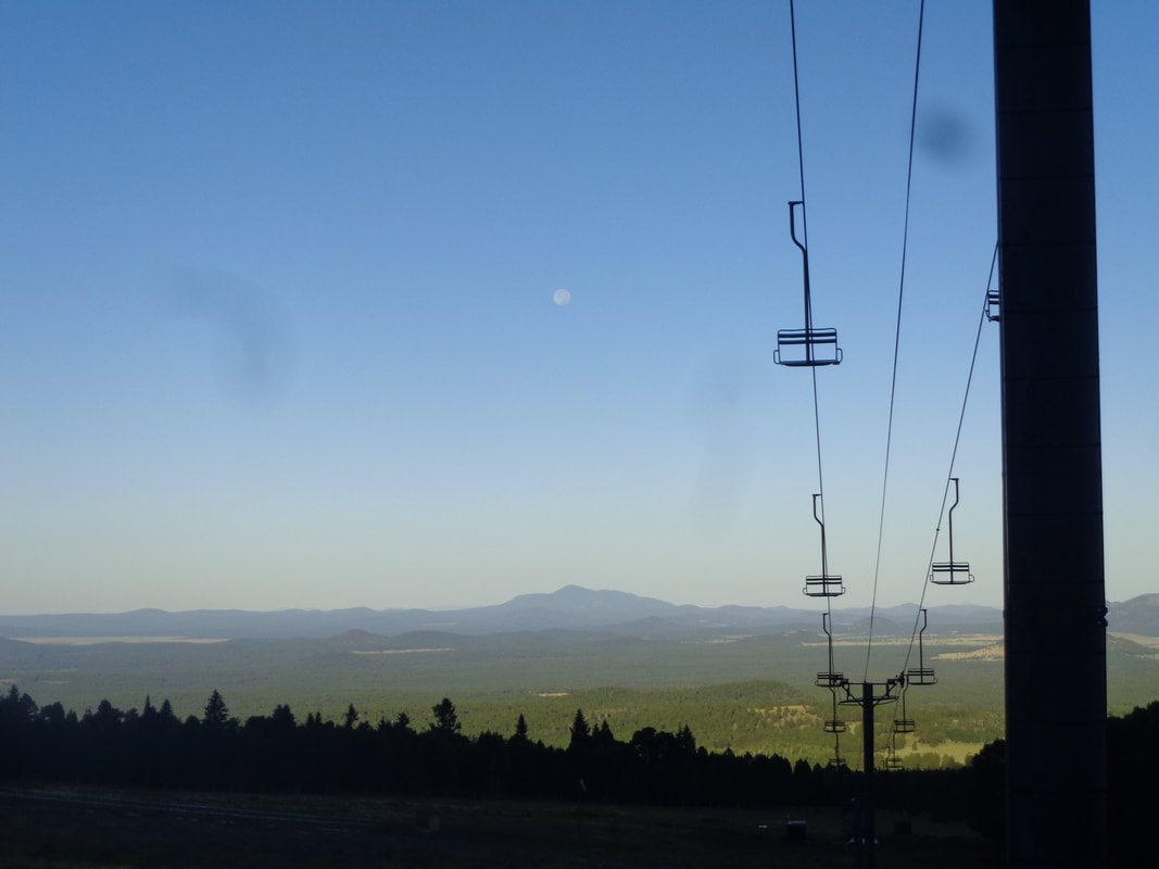
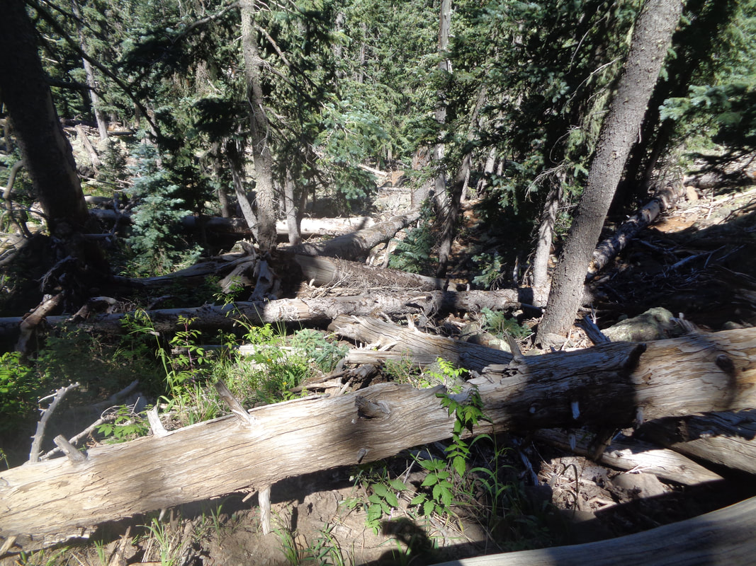
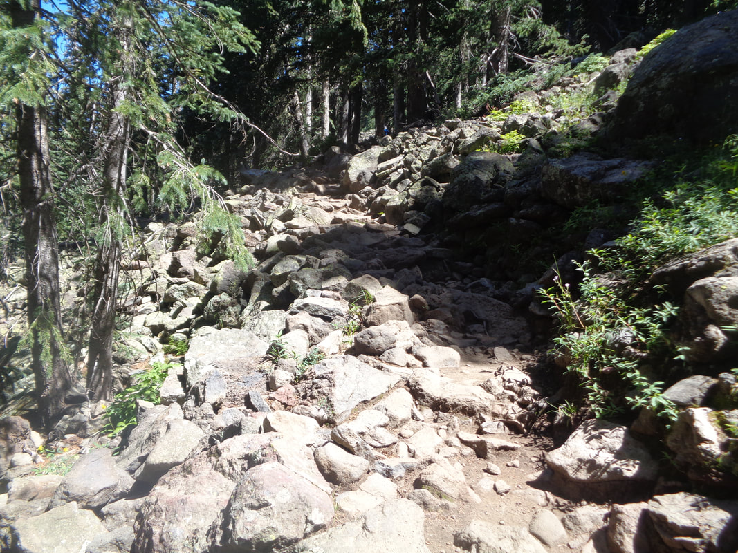
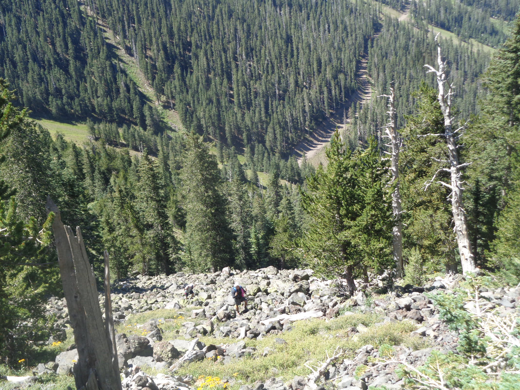
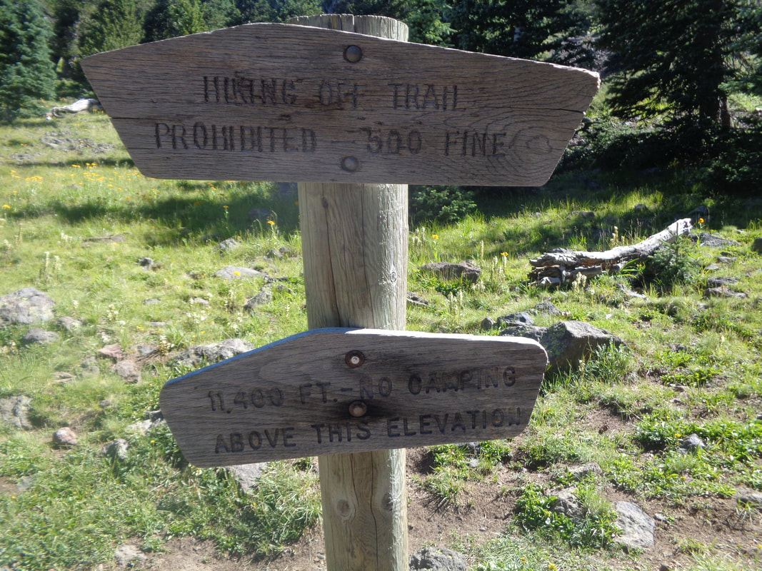
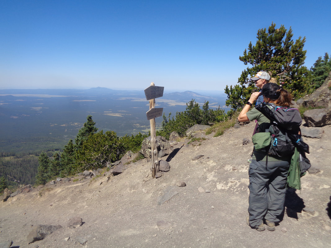
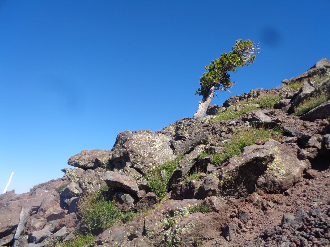
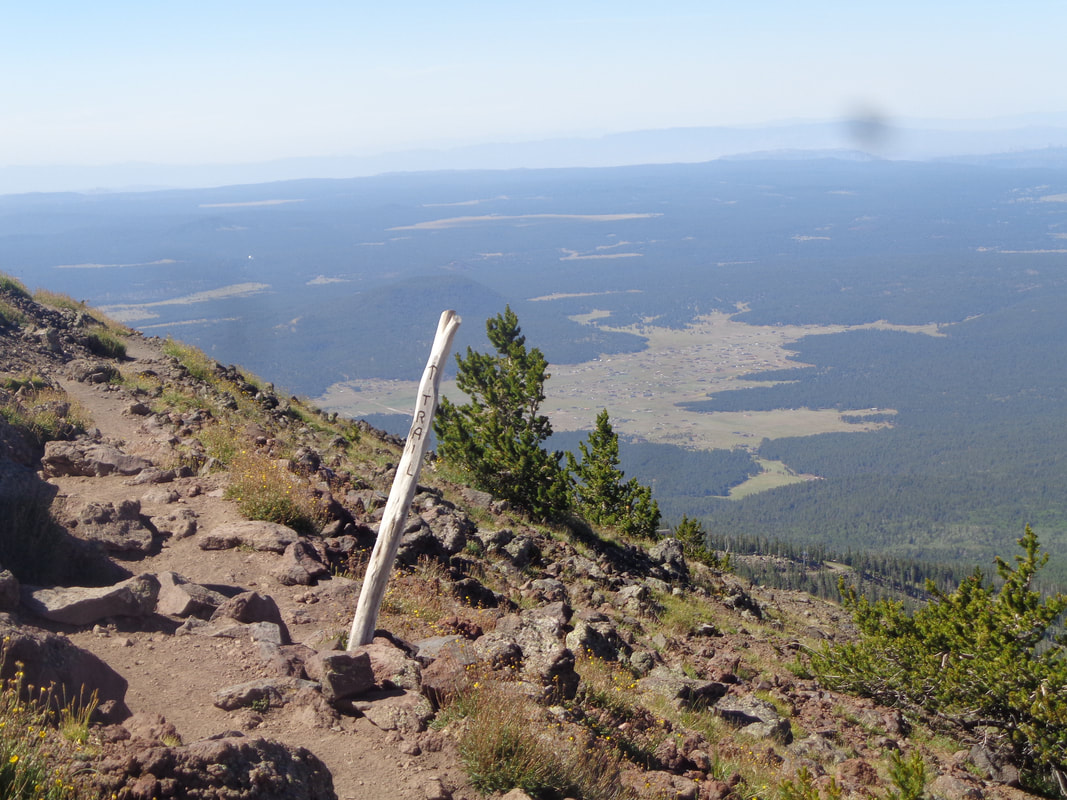
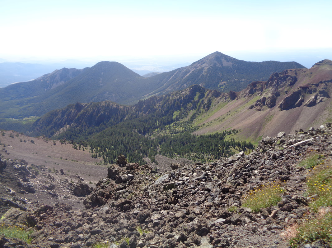
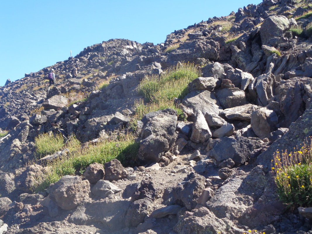
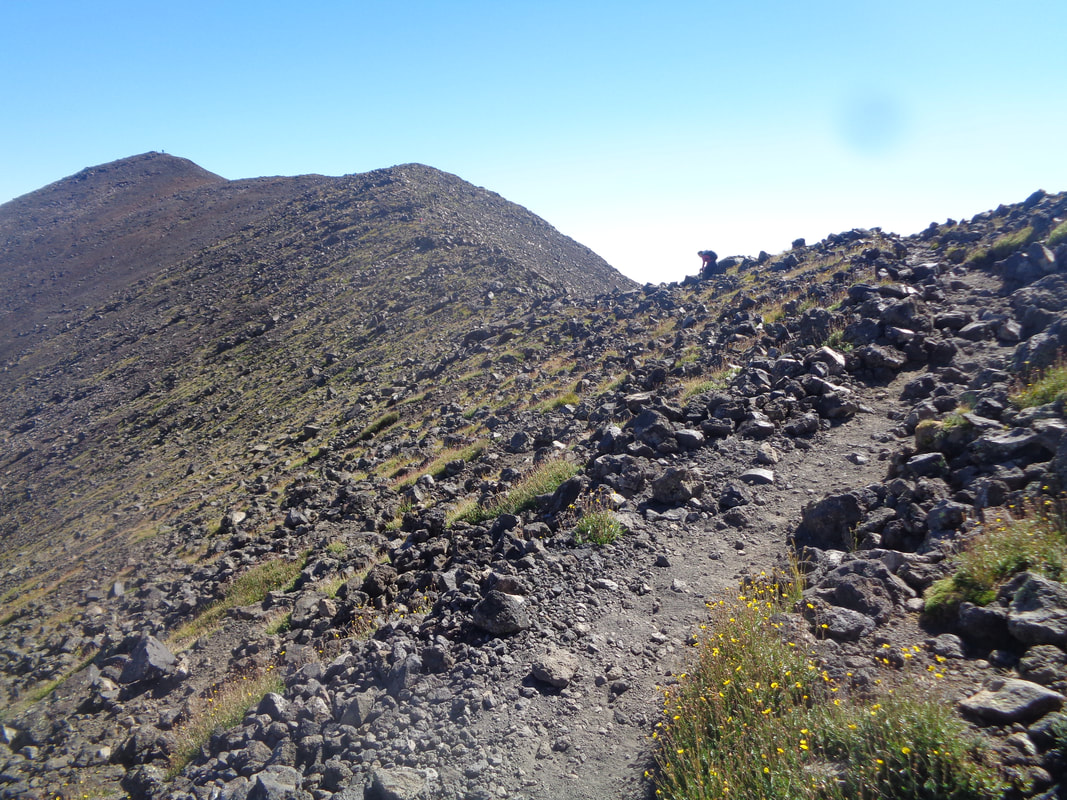
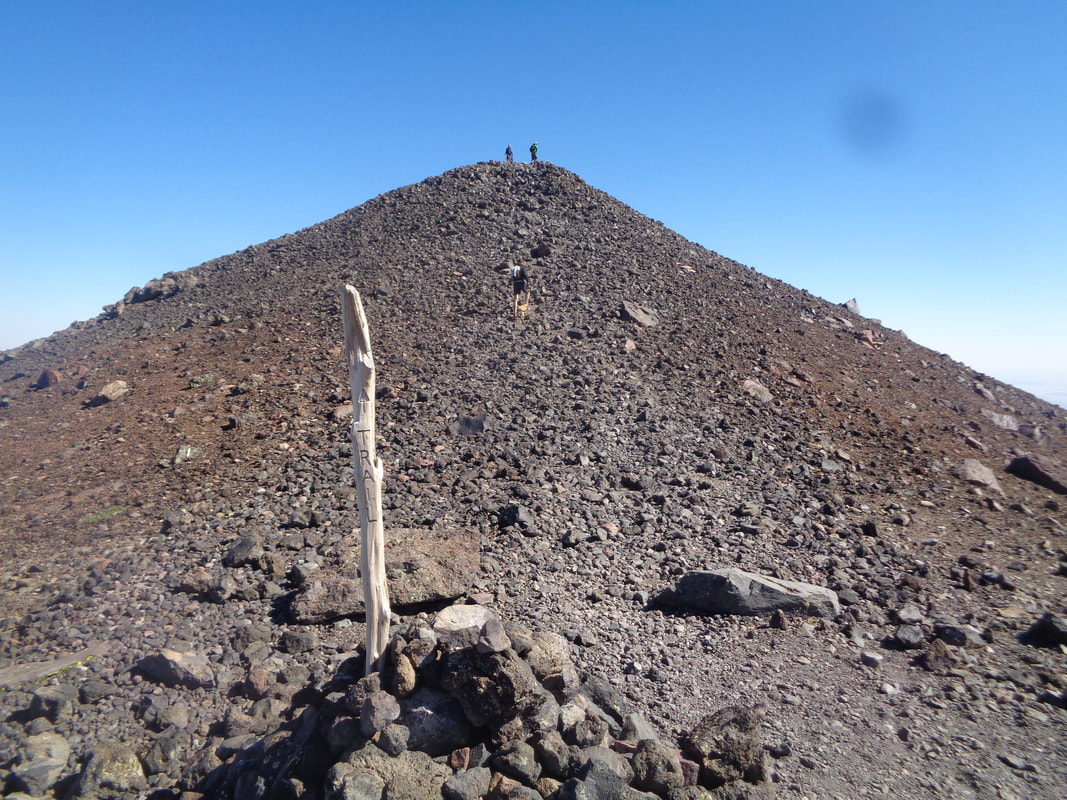
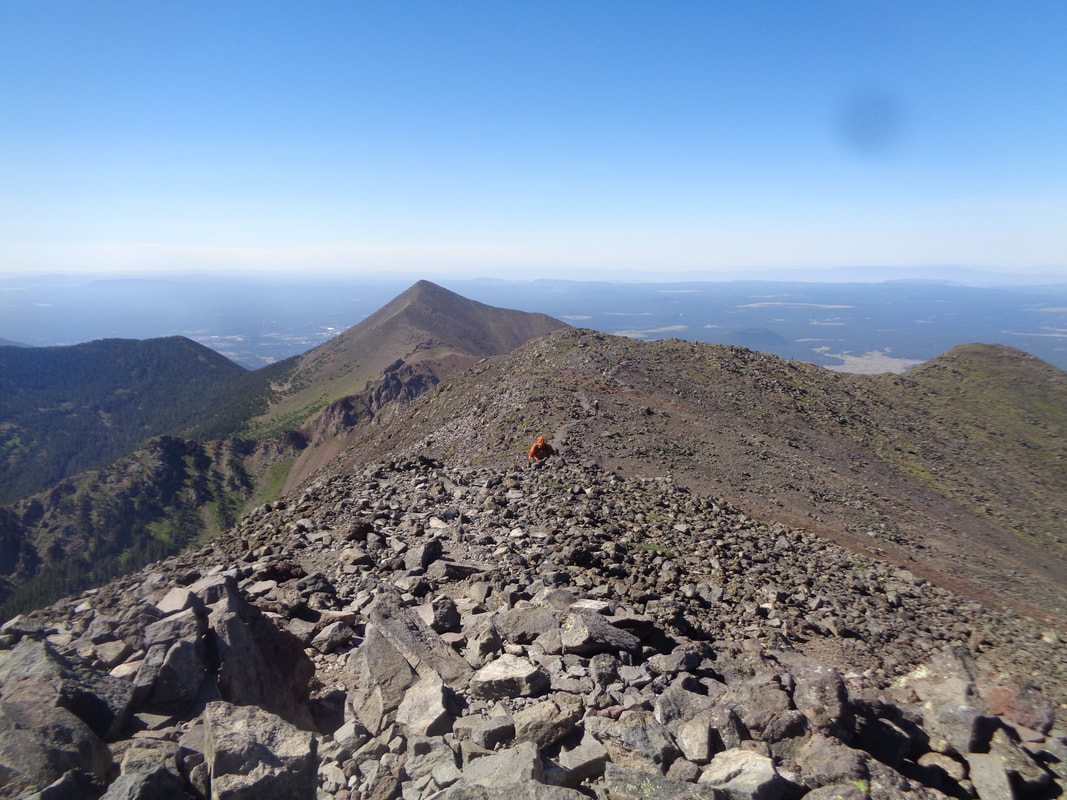
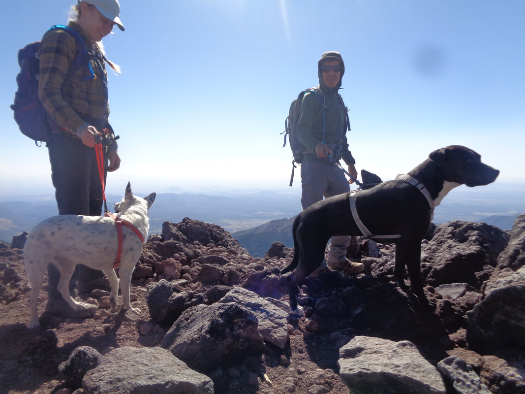
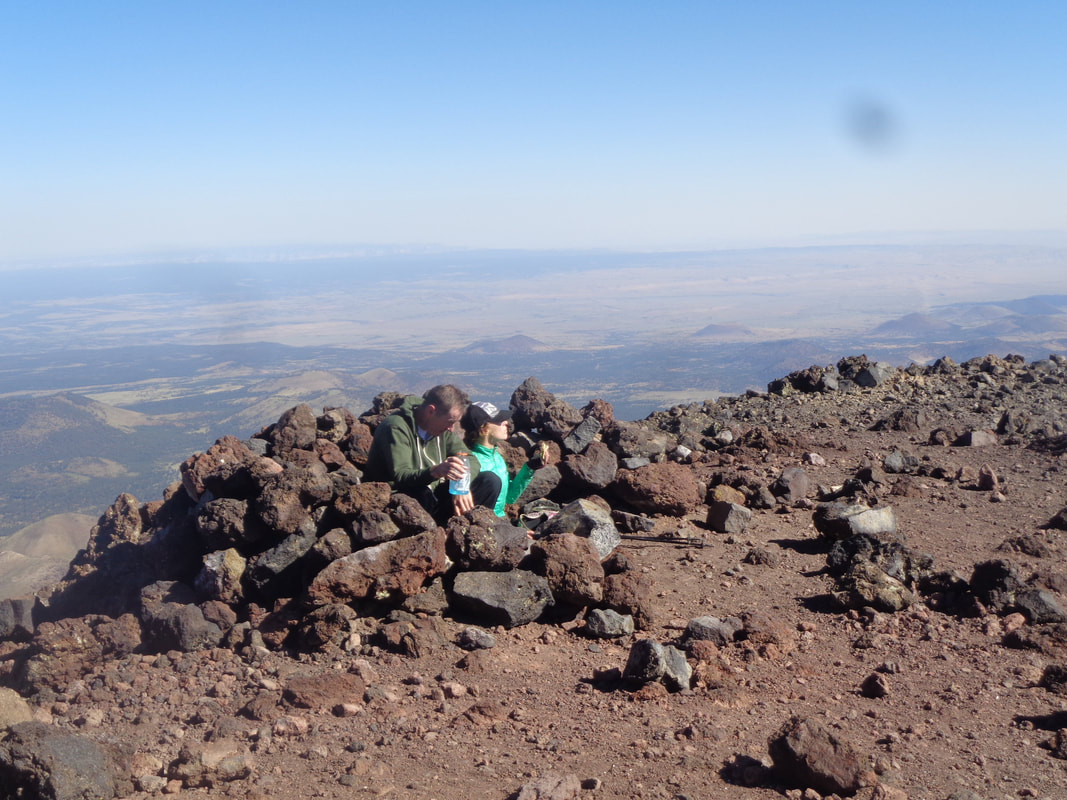
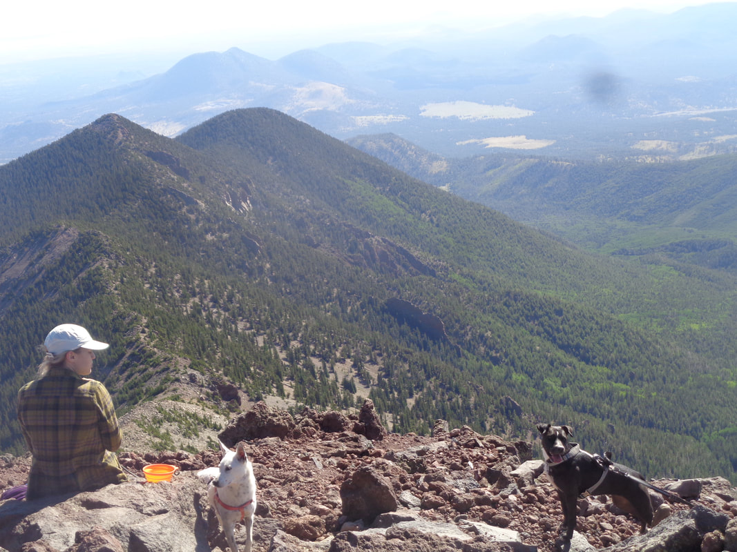
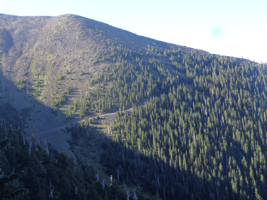
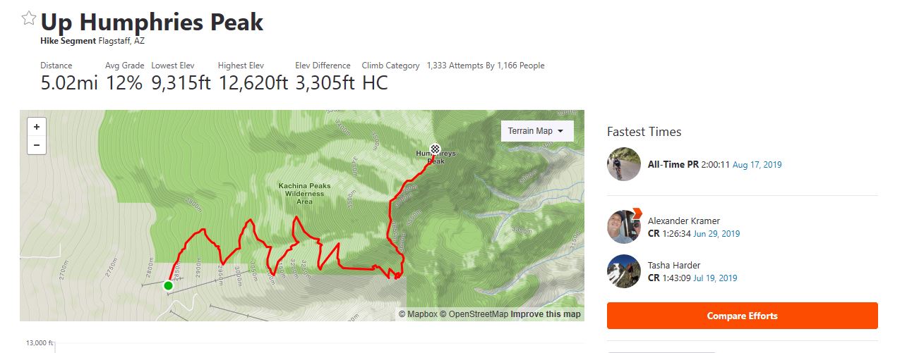
Lots of people driving out of Phoenix via I-17 and headed towards the much cooler temps in the 7000' area around Flagstaff. In the distance are the San Francisco Peaks, the tallest of which is Humphrey's Peak, the highest point in this magnificent state. I arrive Friday afternoon, check into a Hampton Inn (my go-to national chain) and am out the door the following morning by 6am. No temperature pressure to start early (54 degrees at the start) but there is some urgency to arrive prior to the masses. While making the 30 minute drive to the Snowbowl and the trail head for Humphrey's, I pass an electric sign that state Snowbowl Road is closed from 7am to noon for a charity run. Arriving at 6:30am, a woman directs me to turn around and come back after noon to start my hike!!! I explain the sign states otherwise, she checks with someone and waves me through. The trail begins with a walk through a meadow where wild flowers are abundant. While I am shaded by the peaks, the sun lights farther west and check out the full moon, high in the sky. My drive from Flagstaff has gained more elevation and I start the hike at about 9300'. To put this in perspective, today's hike starts at the height of Mount Lemmon's peak in Tucson and then gains another 3000'. The trail enters a forest largely of Aspen and Ponderosa pine. Hard to believe that during my hike, I will climb above the tree line into a barren landscape of volcanic rock. The forest floor is full of fallen trees. The trail is rocky, frequently having small diameter roots crossing it, loose gravel and rare is the surface flat for your feet. It's a good thing the first 4 miles of the hike has rare views because you dare not take your attention from the trail unless coming to a stop. Of course, I've got Strava segments to think about and walk fast. I gain elevation and looking at a rock slide, see a couple of guys picking their way through. They some how missed the trail and instead walked up beneath the ski lift. Finding no trail, they see people walking this east facing slope and head up. They did manage to take about .3 off the route. The trail has not been terribly steep yet, maybe an average of 9% but just before I reach this sign, the trail steepens and from this point forward, there are some brutal slopes. Having not done a hike of this magnitude for a long time, I assumed my legs would be in good shape for the first 3-4 miles of climbing and they were but the next 1.5 miles to the peak....ugh, just ugh. I reach a saddle that directs me to make a left while a right takes one to Locket's Meadow, an alternative approach via the Waterford Trail. I'll probably come back and try this route as it is longer and not as steep, at least to this point. A hiking group to which I belong, TLC, approached from Locket's but it was quite a bit longer and I certainly didn't have the legs for that alternative, today. The landscape is barren as I pass the last pine tree, bent from the constant wind. The forecast wind for today was 30mph but that was for later in the day. For now, maybe 20ish. Periodically, these poles identify the route because there often is snow obscuring the trail even into June. Of course, the views are spectacular in all directions. This trail is noted for a variety of false peaks so as I..... ….pick my way through this mess, I know the high point above is not "the" peak but a false one. But having reached the peak in the prior image, I can now clearly see the destination. The average grade of the final 1 mile is 12% so doesn't seem like much but the grade is skewed by some down climbs and false flats. At last, the final approach. Not much of a trail can be seen but there is one, faint as it winds through the rocks. Yeehaw, I reach the peak. I walk around the limited area that comprises the peak and then take shelter behind one of the many walls that over time, people have built to shield from the wind. The temperature is probably low 50s but out of the wind and with the shining sun, it feels ok. I am wearing long pants and a long sleeve shirt. I enjoy chatting with the few others who have made it, including a couple with dogs. I also meet a couple of guys who are here for a wine tasting event that is to be held at the bottom, tomorrow. No, no free samples came with them. Another couple sit in one of the shelters. Everyone is in a good mood and why would they not? You can see far, far into the distance, including the marble cliffs up in the Grand Canyon area. So awesome it is hard to tear oneself away from gawking. Yep, hard to muster the motivation to being the long climb down. But of course, I begin the hike while enjoying the views until the forest obscures them once again. Once finished with the 10 mile, 3300' climbing effort I was eager to check where I stood relative to others who posted their effort on Srava and.... ….well that sucks, 49th place out of 1333 people. For the Strava segment from the aforementioned saddle to the peak I was around 150th place so I clearly suffered in there but still....49th? Get in better shape and head back, I guess.
1 Comment
Bonnie Bray
8/19/2019 07:49:08 am
What a beautiful photo album complete with info on this spectacular hike.! I love the trees laying in the forest across the trails up there..great vibes
Reply
Leave a Reply. |
Categories
All
Archives
November 2023
|
