|
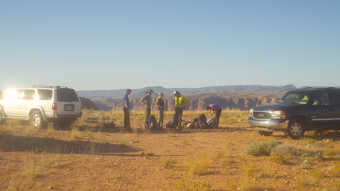
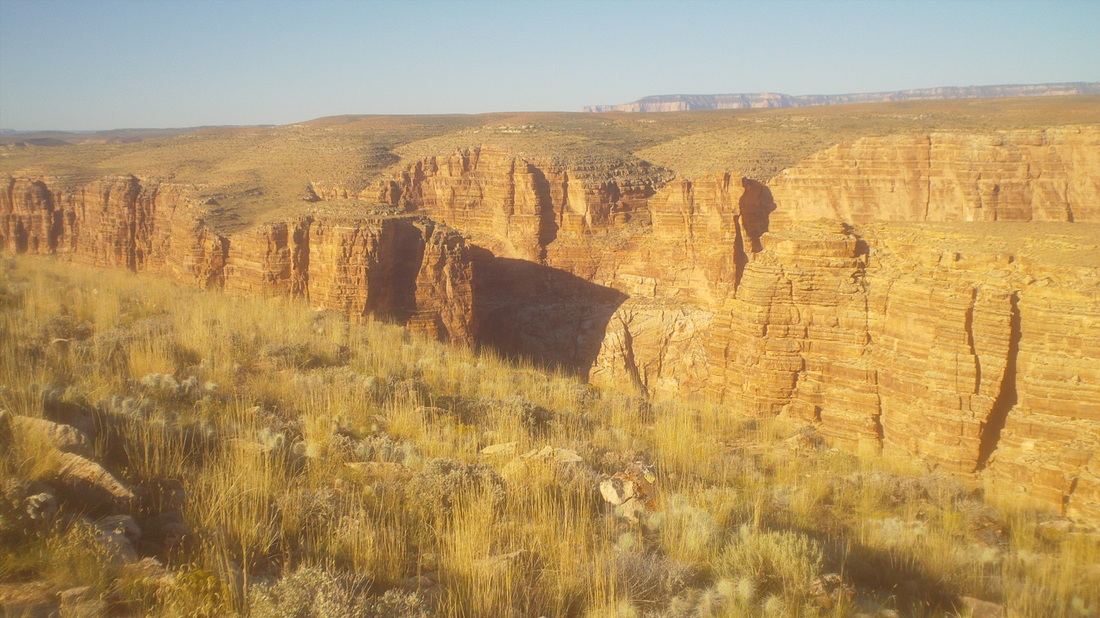
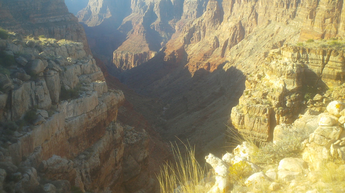
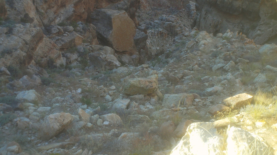
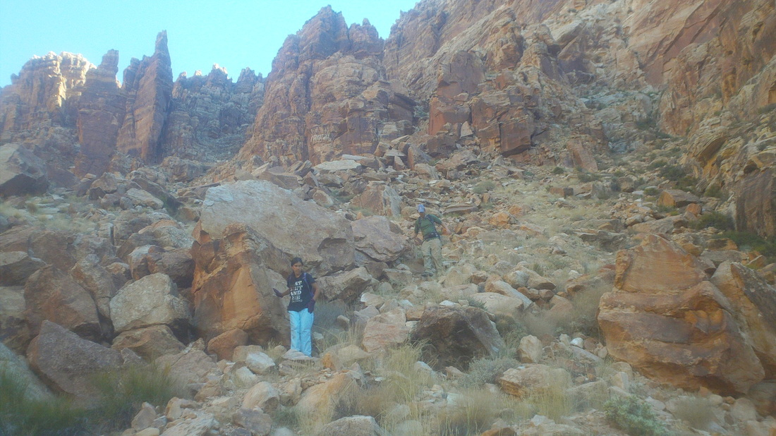
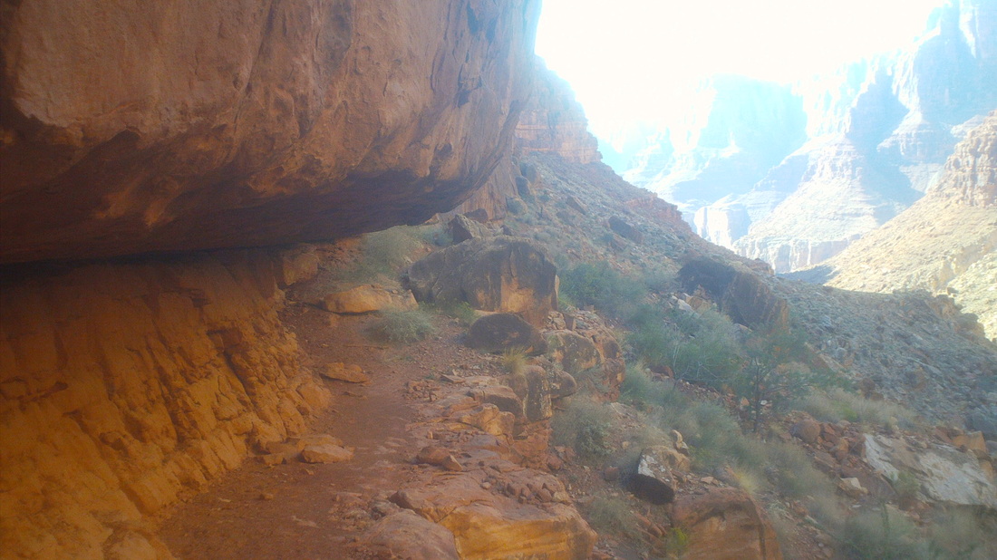
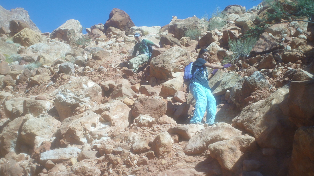
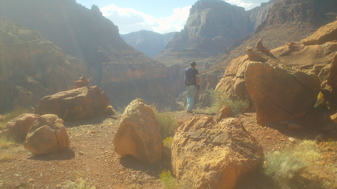
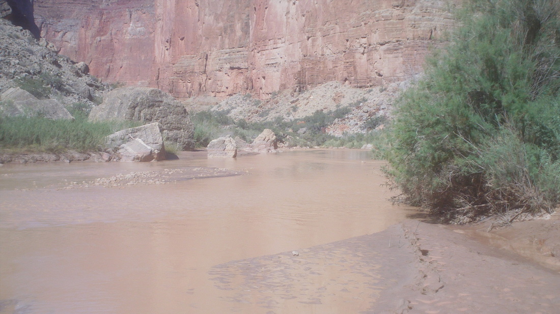
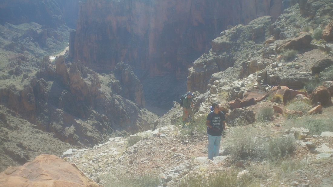
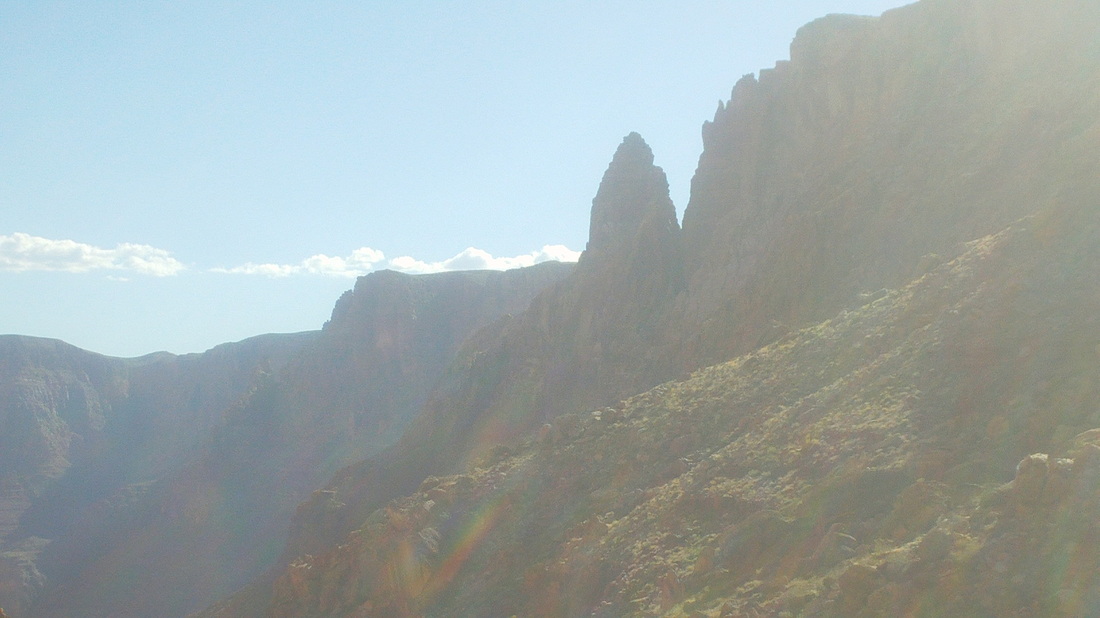
First off, I'll go in to far more detail then any of you will probably want to read. I refer back to these posts for information for later hikes and again, 20 years from now I'll probably get a kick out of rereading these. Leading up to this hike, it was suggested that a high clearance vehicle would be needed to navigate the 20 miles of Navajo Nation roads once the turn was made off #89. Currently, while rough, a car would make the trip if driving slowly over the scraped dirt roads. Navigating the roads is very difficult because only a couple have signs and there are many dual tracked paths that lead off them that serve to confuse. We got off track and if Joe, one of the two people going with me, had not had a GPS devise, we never would have found the trail head. But, we made it and discovered another group was there too, making a modest 3 mile hike to the Little Colorado River. Well, at the time I thought it was modest. Our goal was also the LCR but upon reaching it, we would hike an additional 5 miles to where the LCR merges with THE Colorado River, referred to as the great confluence and a place few have visited. We descended from the trail head, following a path that meandered towards the Salt Trail gorge. And then we reached the edge of the gorge and it was freakin spectacular! Gosh I love it here and once again, the image does not begin to do justice to the view, It's a long story but our hike leader, "Peter" was a no show and someone who had previously hiked with him, one of the two twenty-somethings with me, had forecasted this outcome. Not to worry, we plunged in to the abyss. There are two ways to look at this. A close up of a pebbly surface or a view from afar of boulders the size of houses. Yep, is the latter and the trail, such as it was, was like this all the way to the river. Far more difficult to navigate then the 6-7 other GC trails I have hiked/backpacked, it made route finding slow and challenging. Looking back at the rim, I could not help but dread the return. It was going to come when we were most tired. Amy and Joe, climbing down, down, down. After the initial climb down of about 1500", we skirted the gorge while walking along this ledge, which had some exposure to significant drops but not too bad. Maybe from this image you can judge how difficult was the going. Steep, rocky, boulder hopping. We began discussing how it would be impossible to complete a 16 mile hike through this environment, especially since the official start time was 8:00am, two hours after sunrise, in October with limited daylight. Just a poorly planned event by our no show hike leader. Finally, we reached the final descent to the LCR, marked by two rock piers. We reach the river but the recent rains have turned it in to a muddy brown rather than the usual beautiful blue/green. It took us almost 3 hours to hike the 3 miles to this point. No way to make it to the confluence and then back before sunset. I was bummed. It would take about 10 hours to do the hike and with our late start, just impossible so we trudged out. I was in good shape and quickly distanced myself from the others, not because I wanted to but just because I set a quick steady pace that for some reason I can maintain going up hill for a long time. Must be that cycling. Then, I made a bad decision. Maybe from being tired but I lost the trail on the final ascent, climbed a 15 foot wall and boom there was a huge boulder blocking my path. I turned around and, crap, could stare 3000' to the river. I kind of froze and sat down on a pebbly slope and swore if I got out of this I would start playing golf again. One of my companions walked close by but they were out of water, dehydrated, had to keep going and nothing they could do for me anyway. I took my pack off, dropped it to the base of the wall so it would not catch as I tried to climb down and how about that! Made it, regained the trail and finished with 6 miles which sounds so inadequate but if only you could appreciate the difficulty you would understand.
Couple of notes, the 4 bottles of fluids and the 2 in the bag I stashed are no where near enough. Should carry a gallon jug, as inconvenient as that is, to the base of the final ascent and leave it for the return. Also, ditch the hiking pole, it is helpful at times but too often gets in the way.
1 Comment
|
Categories
All
Archives
November 2023
|
