|
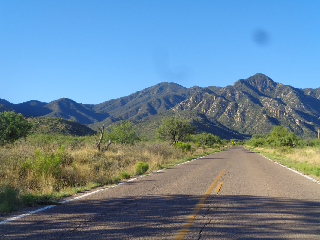
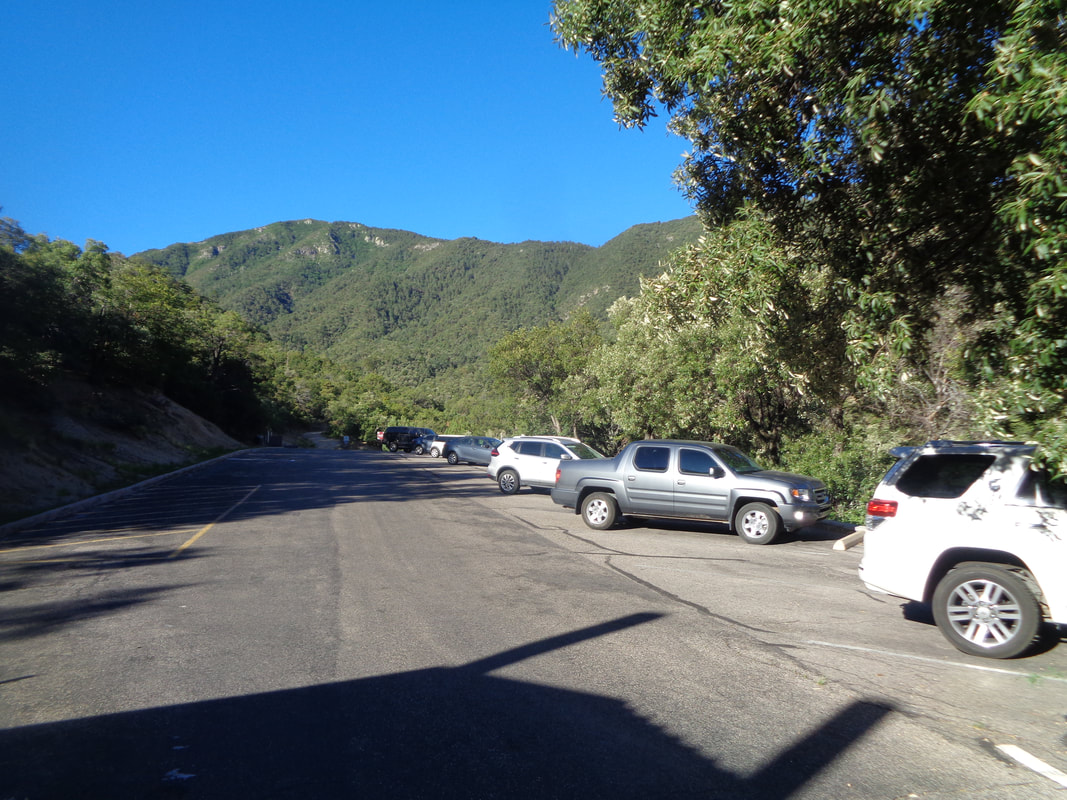
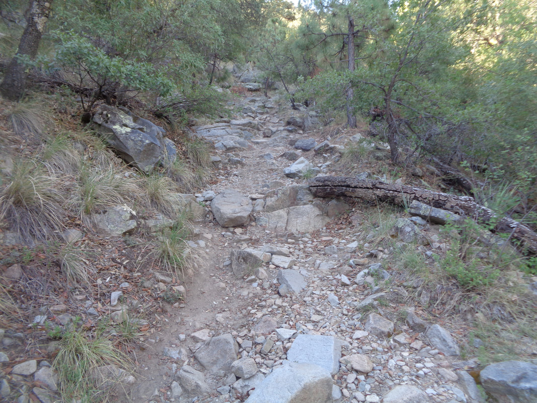
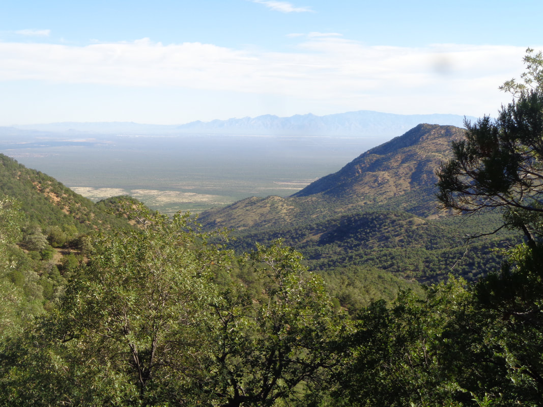
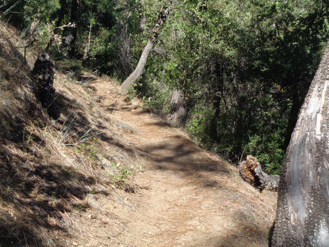
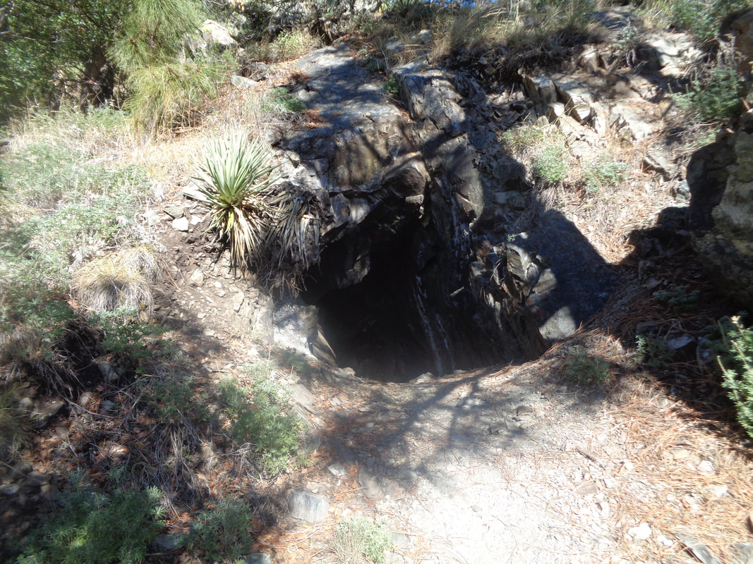
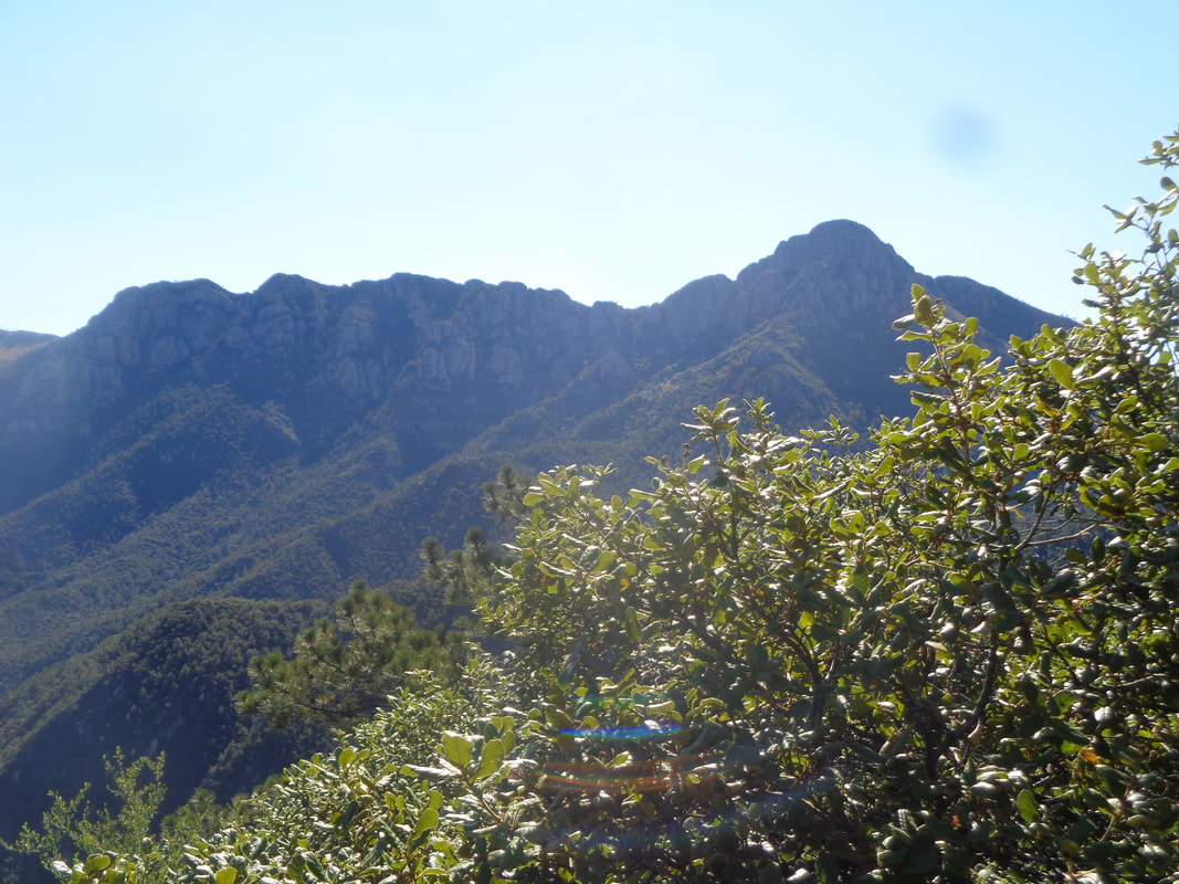
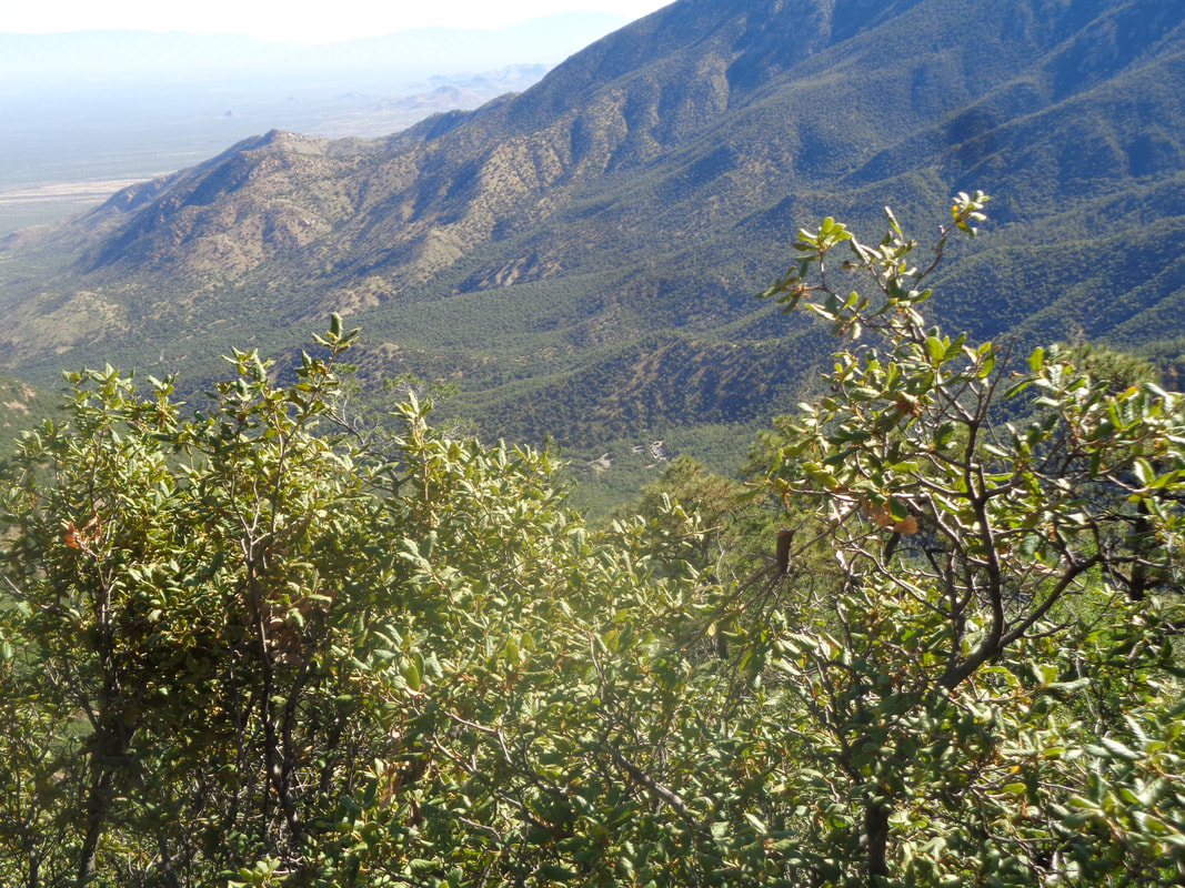
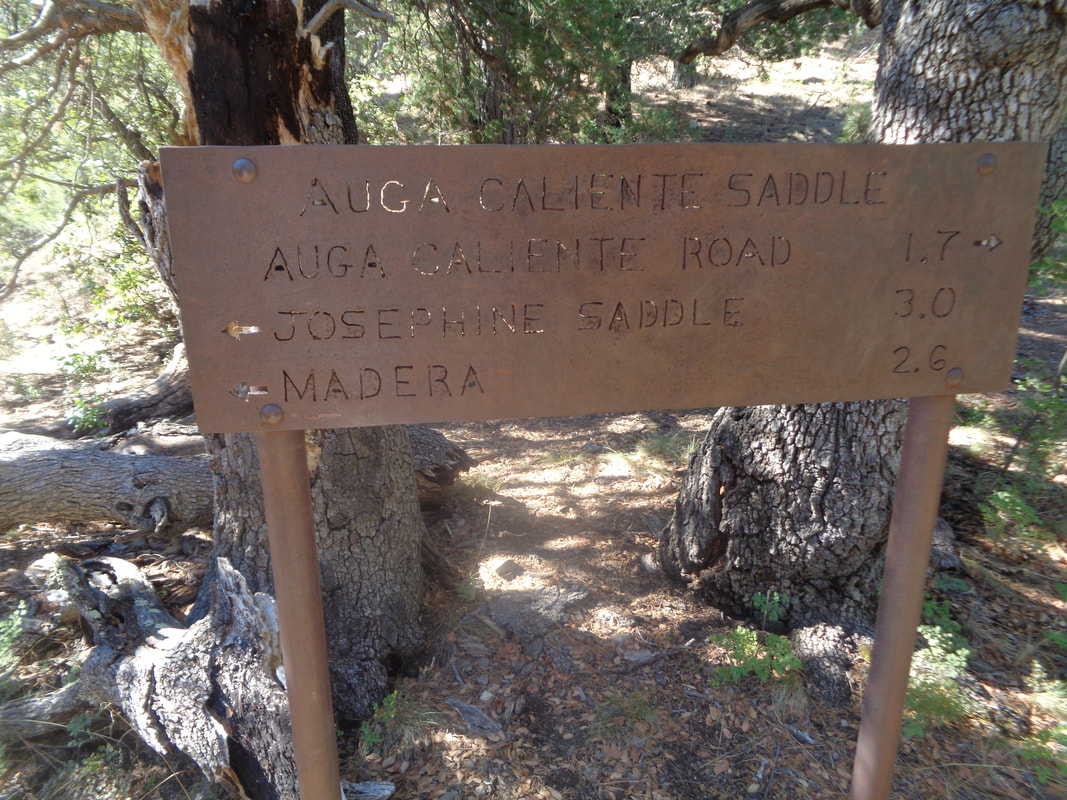
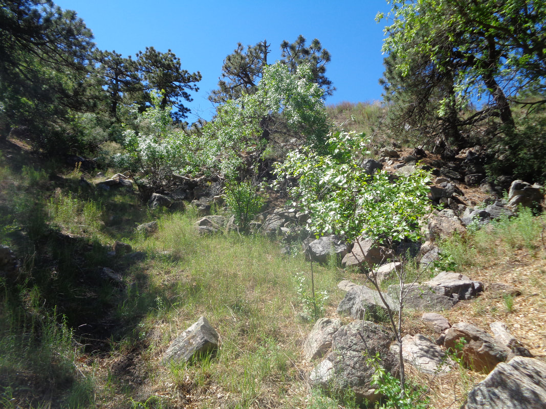
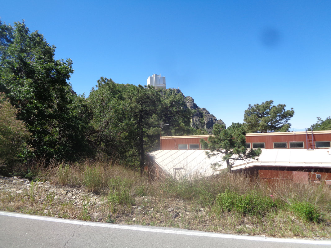
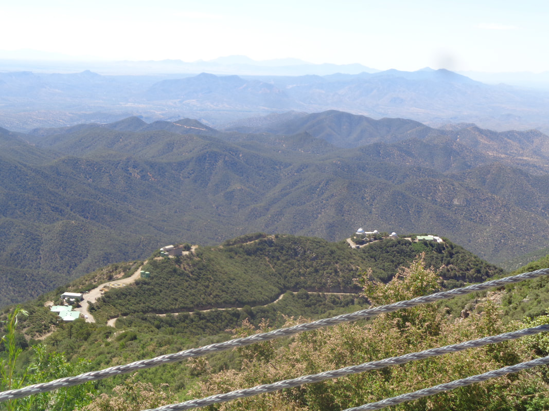
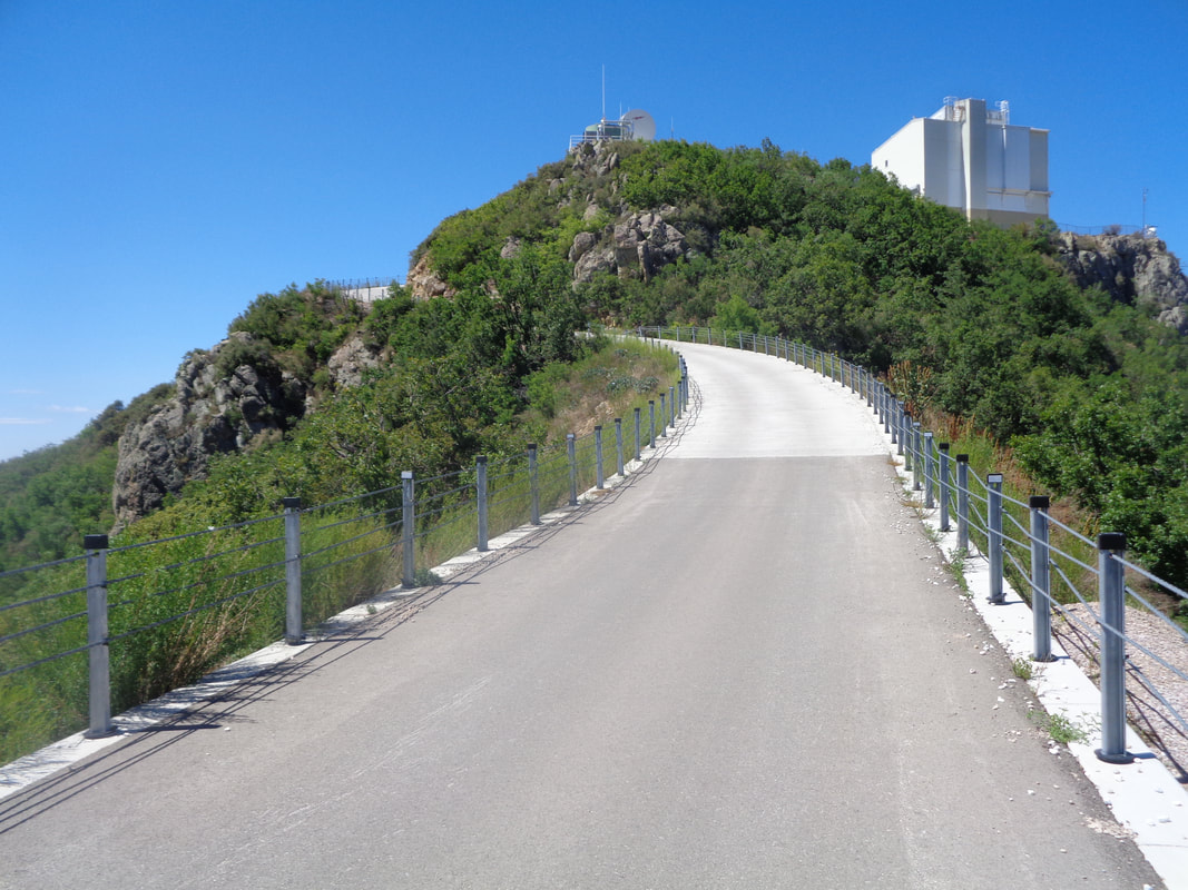
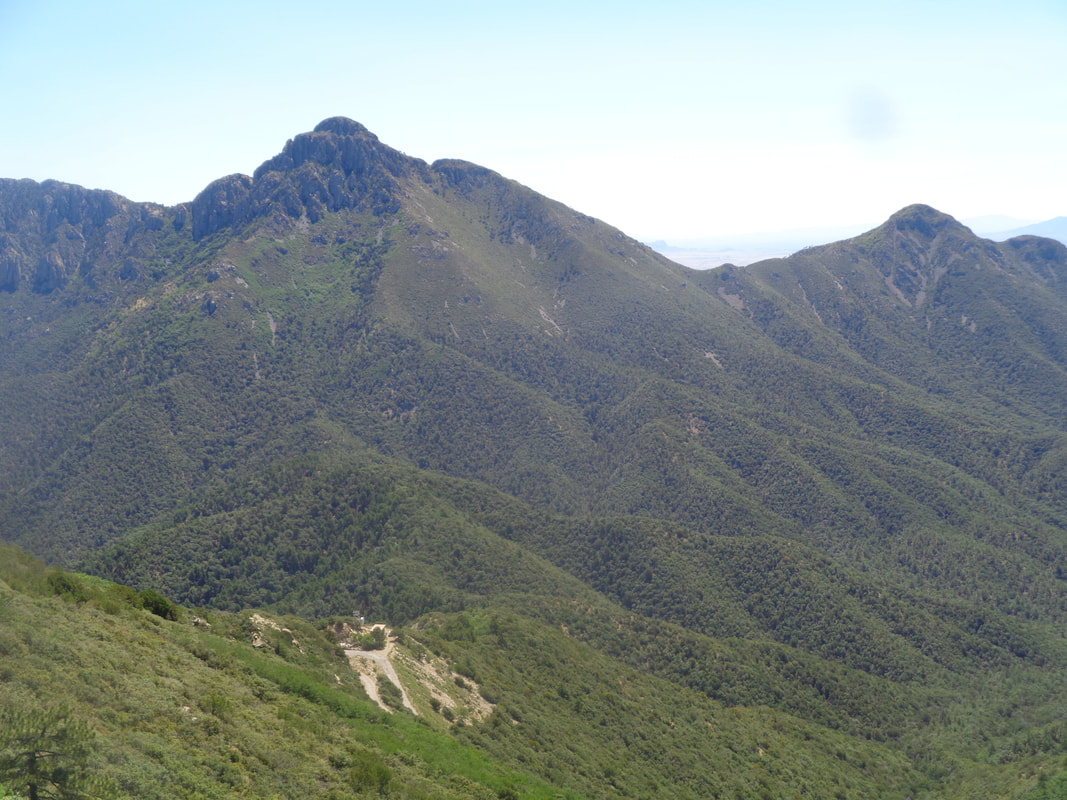
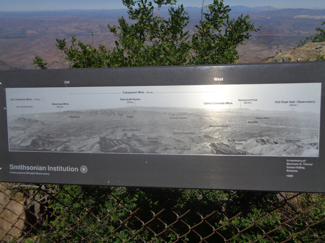
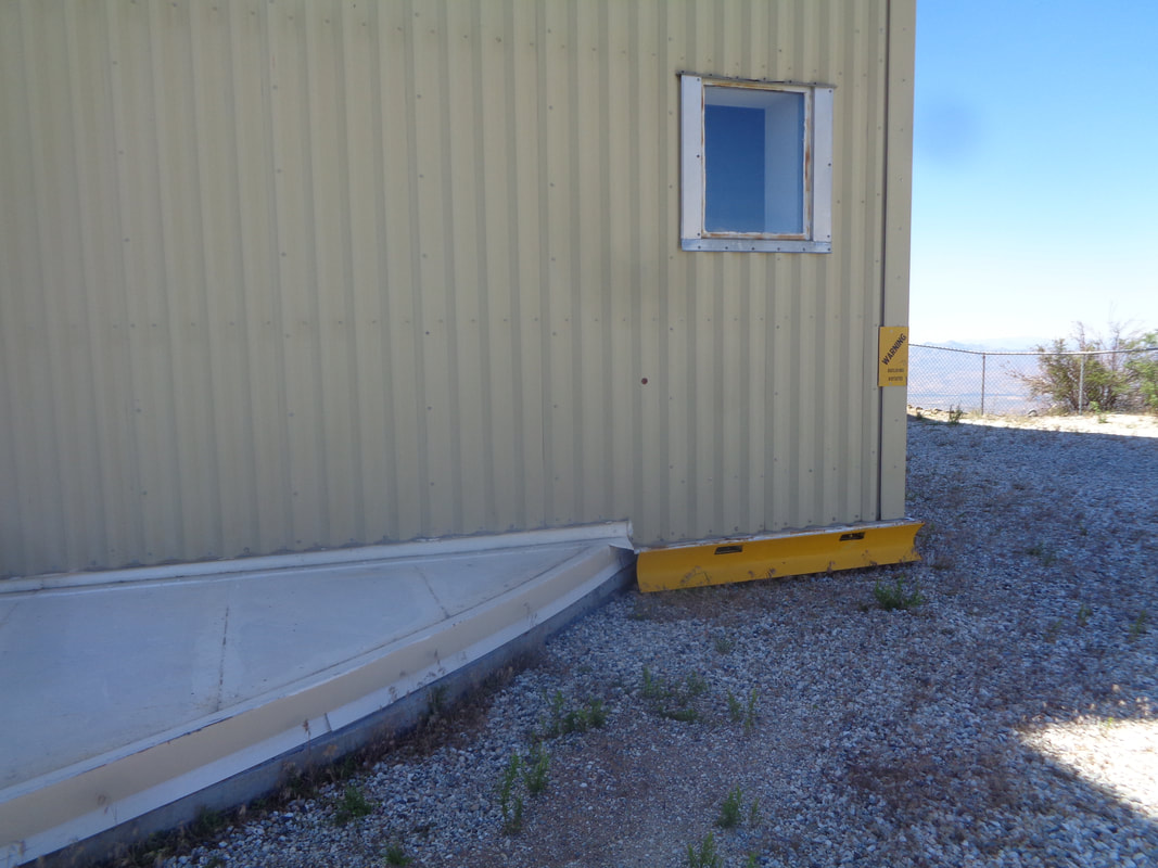
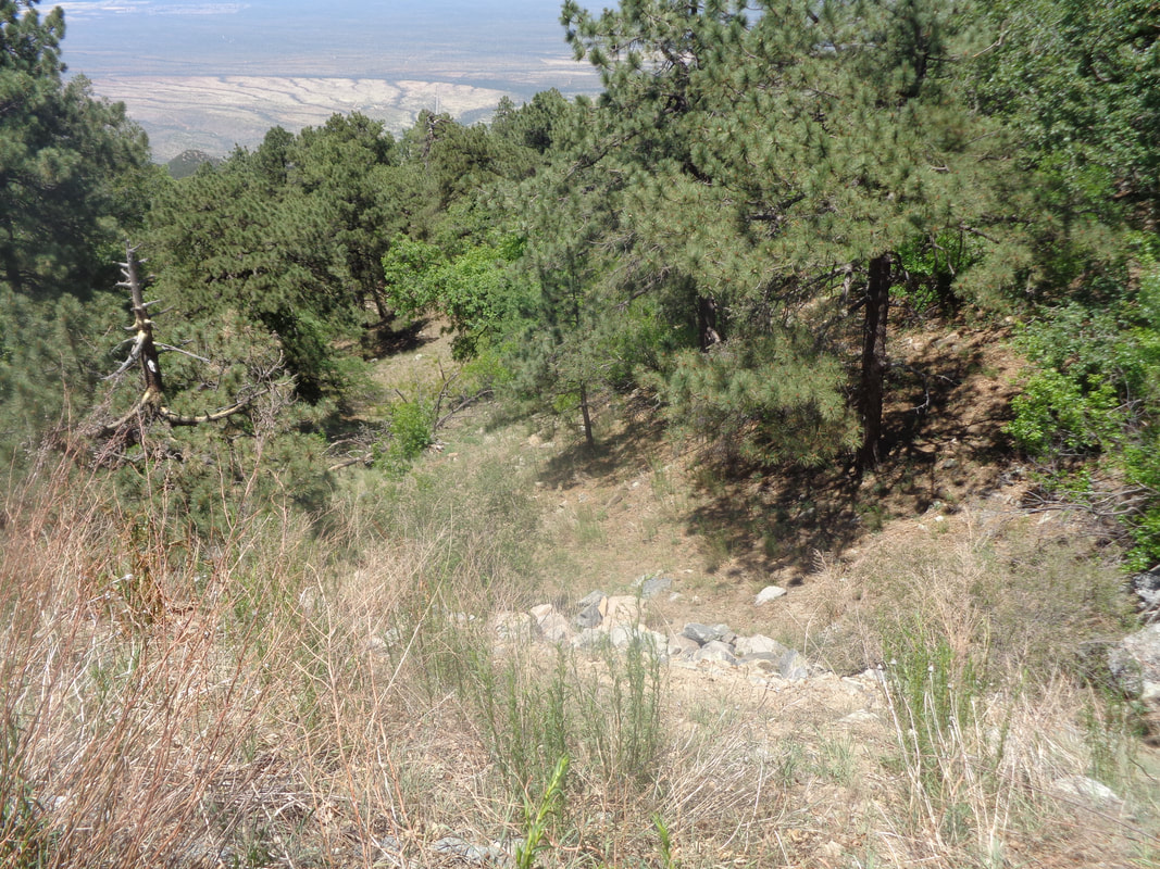
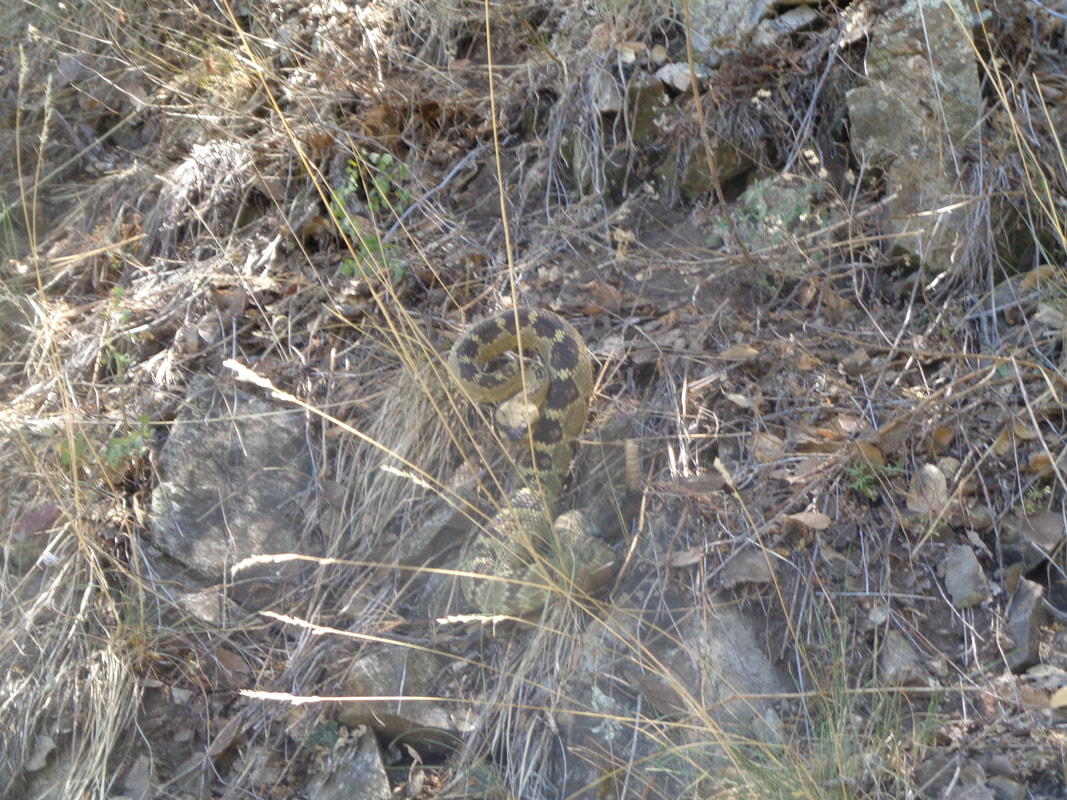
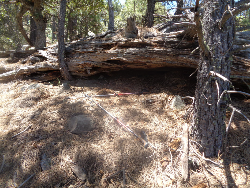
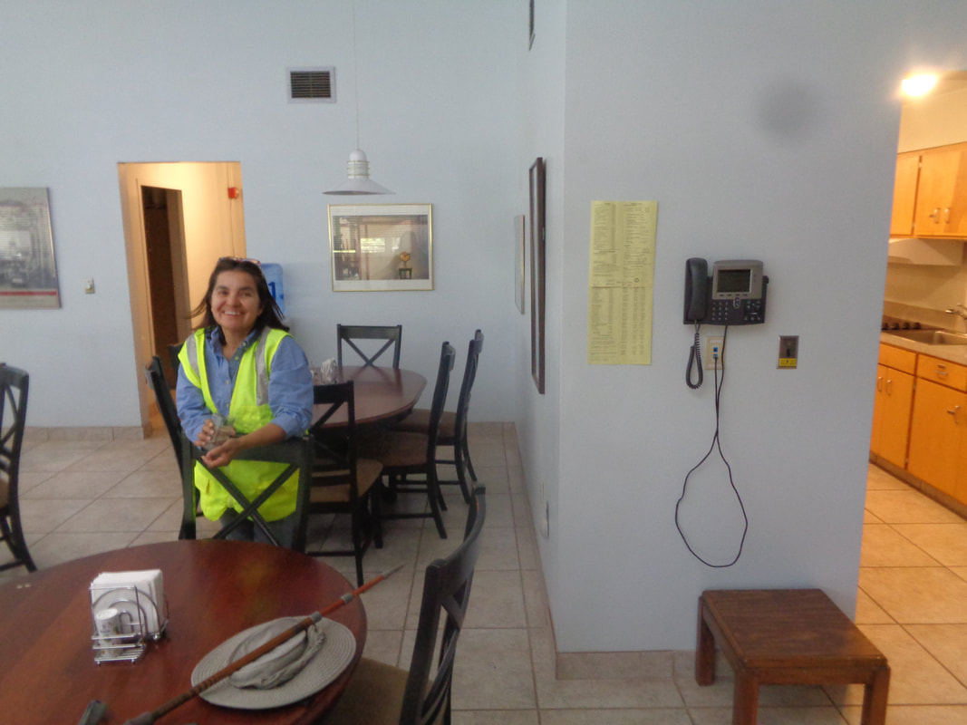
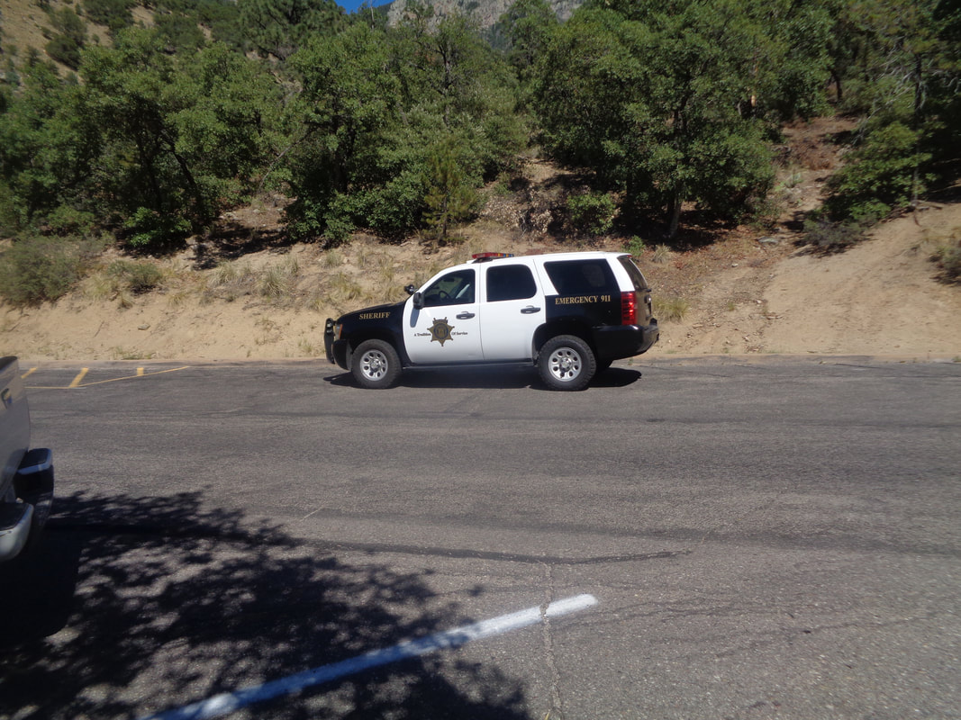
Out the door by 5am and driving to Madera Canyon which is within the Santa Rita Mountains which is within the Coronado National Forest. Running north/south the area is 23 miles in length and somewhere merges with the Patagonia Mountains. A rugged, mostly forested area. I arrive at the end of the road and park in the circle parking lot at the base of Old Baldy and Super trails. This is Monday. In February, a car belonging to an Ohioian was towed from this lot because he had become lost on 2/5, called 911 to report he was lost and apparently kept hiking. Search crews were organized and several days spent at first looking for the hiker prior to transitioning to body recovery. Until today, no evidence of him was ever discovered. Yes my friends, it was quite a day of hiking for me. I start on Old Baldy but where it breaks sharply left, I continue straight on the Carrie Nation trail. Pretty rugged to start and then I made a mistake. I misread a hike report that stated I was to stay on this trail but instead I made a right at the Vault Mine trail. By doing so, I had left the far simpler route for a much more difficult one. Checking the gps track on my cell phone, I was still on the loop route but now going counterclockwise rather than clockwise. The difference is huge. Going clockwise I would have ascended an obvious series of trails to the peak and returned the same way. Now though, geesh was I going to be in for it. Occasionally there were breaks in the trees but mostly fairly thick forest. This Vault Mine trail was designed by a sadist. Almost a mile in length, 27% average grade. I pass an abandoned mine and do not venture into it. I have seen a lot of bear and lion scat so..... I reached the Aqua Caliente trail where I make a right. Had I stayed on the intended route, I also would have made a right on the same trail but farther west so still, I am oblivious that I am not on my intended route. In the distance on the right is Mt Wrightson and to its left is Old Baldy saddle. Walking the Aqua Caliente trail I can see far below the parking lot. It is always comforting to be able to see that for some reason. I reach Aqua Caliente saddle where I am to pick up an obvious trail raising steeply to the left. Hmmmmm, looking at the route, I am right on it but again not the part of the route I should have been on. I scout around, can't find a trail to the left but start following the gps track and ascend a ridge and it is steep, to the left just no trail. I have a hiking pole and bang it on everything to alert the critters that I am to be avoided. I was supposed to be on a trail for about .6 miles before emerging on Mt. Hopkins Road for a 1.5 mile road walk to the peak. By now, I have figured out, after hiking in the wilderness for at least a mile, I am on the wrong part of the route but the destination is the same so at last, I spot an embankment and sure enough..... ….yahoo! I emerge across from living quarters for observatory employees. The views are..... ….awesome. Additional facilities are seen below. Instead of a 1.5 mile road walk I only have..... ….about 500 yards and dang that too is steep. Beautiful and there is Wrightson again on the left. Somewhere over there is Josephine Saddle and the place from where the lost hiker called 911. Most search efforts were directed over there and although they had cell phone coordinates, the lost hiker must have departed the area with a battery that had lost its charge. I had hiked 4.5 miles with 3500' of climbing. Speaking of lost battery charge, I look at my cell phone screen and I'm down to 12%!!! Apparently since cell service is spotty in the mountains, my phone was always looking for a signal. Note to self: Use Airplane Mode next time. I shut off my phone to preserve what life I still had. I turned it back on a few minutes later to alert a friend that I would be late for an event and yikes! I have no power. I sat on the base of the observatory and think things through. It rotates and has a small plow to clear snow. No map, no gps track but also, I was pretty confident I could march back down the ridge I had ascended and find the Aqua Caliente saddle and subsequent trails. So I..... ….walked the short distance to the point I had emerged from the wild and plunged back in. I discovered a couple of cairns and followed them but they petered out but came to a faint trail and began following it but it was taking me off the ridge and down an east side before petering out. I kept going down and at times I sat on my rear and scooted down as it was that steep. I began to see hills closing in on my right and a new ravine. I concluded I was lost because I was. I never panicked nor despaired but I recognized the predicament I had placed myself. I climbed to the ridge, found a rocky point, looked out and said to no one in particular, "Mark, the only way out of this mess is to turn around and climb back up the mountain." So, I turned around and began ascending the beast. At some point..... ….I heard a rattlesnake and there to my right it was ready for action. Geesh. I was always on guard not to do something stupid such as slip and crack my head or impale myself on a broken limb or....yes, get bit by a rattlesnake. I kept working my way up and then..... …..I discovered this scene and I immediately understood the implication. The lost Ohio hiker had sought shelter beneath that log and in front of it was a pair of hiking poles, a waist pack having a set of car keys and other items and one, hiking shoe. I of course also realized another hiker had been here, searched for hours and died. I did not see any human remains but I also didn't look. I had my own issue to solve. I took the waist pack and put it in my back pack but left the other items. I continued up and probably 1/2 mile later..... ….I found the ravine that led to the road...Eureka…. walked into the building shown in an image way above, yelled, "Hello" and this woman emerged from a room. I explained my predicament, she called John from the observatory, a mechanical engineer who brought a battery charger for me. John had been part of one of the SAR crews back in February and all of them were nagged by the question of what had happened to the lost hiker. He examined the contents of the waist pack and confirmed it was Mr. Smallwood's. John called the region's SAR administrators and the sheriff department. I could have hiked back to my car but the cell phone was charging slowly and I wasn't keen about retrying the down climb so John gave me a ride down from the observatory to the base camp at the visitor center for the Whipple Observatory and then around the mountain to Madera Canyon where..... ...I met a couple of deputies and retold my story. Today, Tuesday, I took a call from the Sheriff's department and so tomorrow morning, 6am, I am meeting a crew and will attempt to locate the site. It would thrill me to help an effort that recovered the body and bring closure to the Ohio family. I'm not sure the family even knows what is happening but I hope to have another story to tell tomorrow, assuming the crew and I do not get lost, of course.
3 Comments
Greg Smallwood
7/9/2019 09:41:07 pm
We know... one of the detectives contacted us this afternoon. How ironic that we were told you are also from Ohio. We are sorry you got lost, but thankful that you are OK and found some of our dad's belongings. Hopefully the search tomorrow will bring closure to the past five months' ordeal. Thanks so much for your efforts.
Reply
Deb
7/10/2019 11:53:13 am
Thanks for the thorough and remarkable story. You kept your wits during a very difficult adventure.
Reply
Kristi
7/10/2019 12:47:10 pm
Wow, Mark. Thank you for sharing. I hope this brings some comfort to the Smallwood family, for whom my heart goes out to. There’ve been a lot of people in the Tucson hiking and running community who’ve been worried about and perplexed by this situation and you’ve brought peace to them as well. Thank you.
Reply
Leave a Reply. |
Categories
All
Archives
November 2023
|
