|
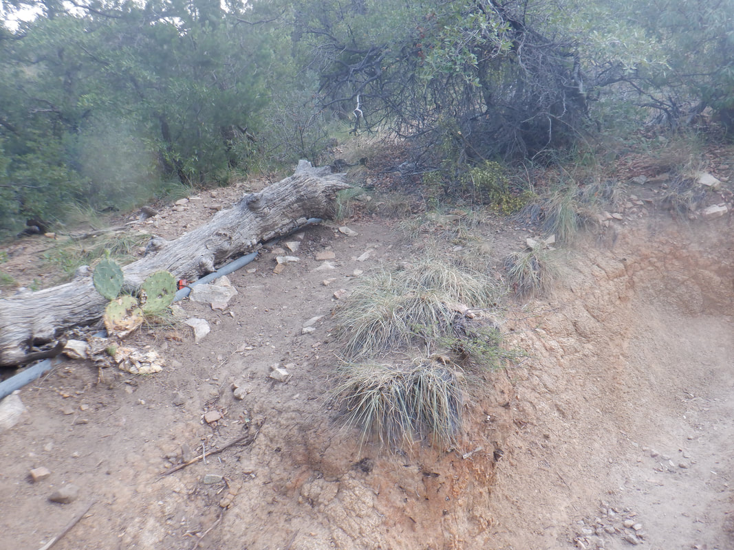
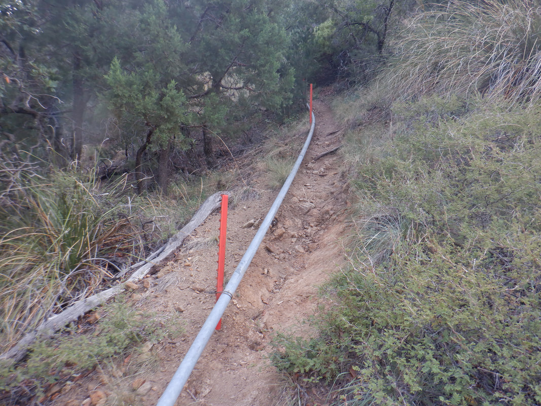
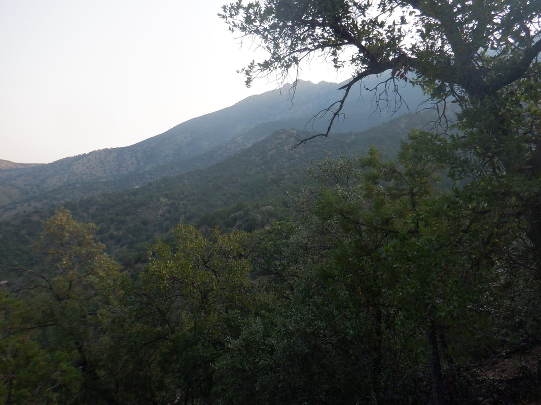
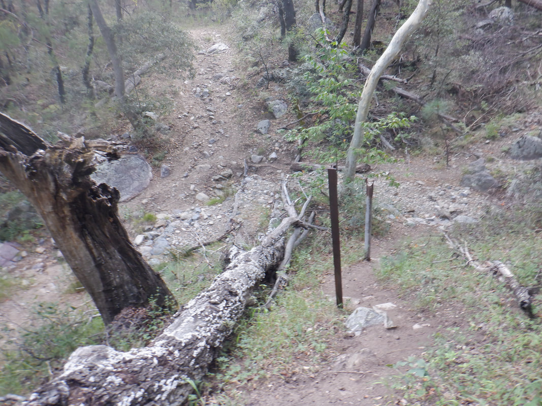
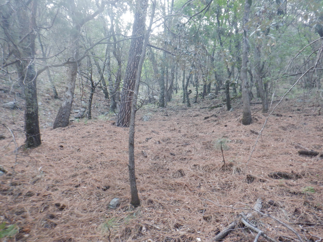
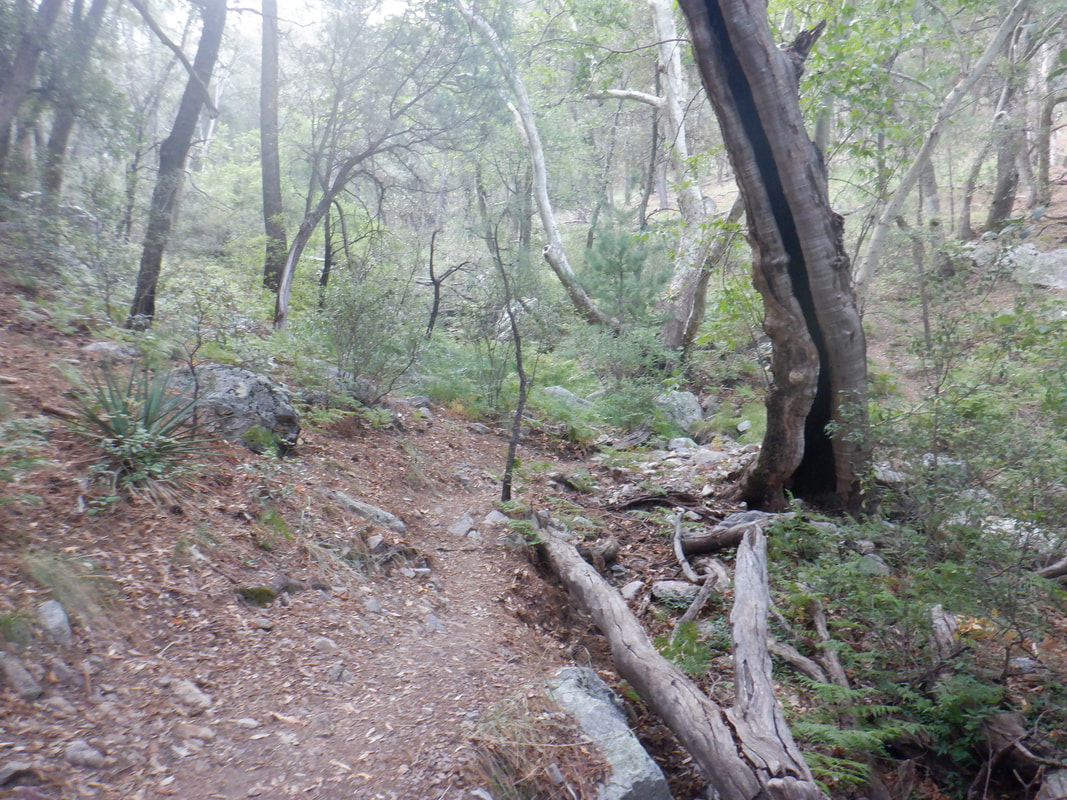
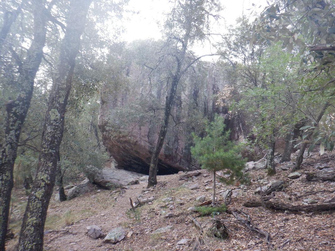
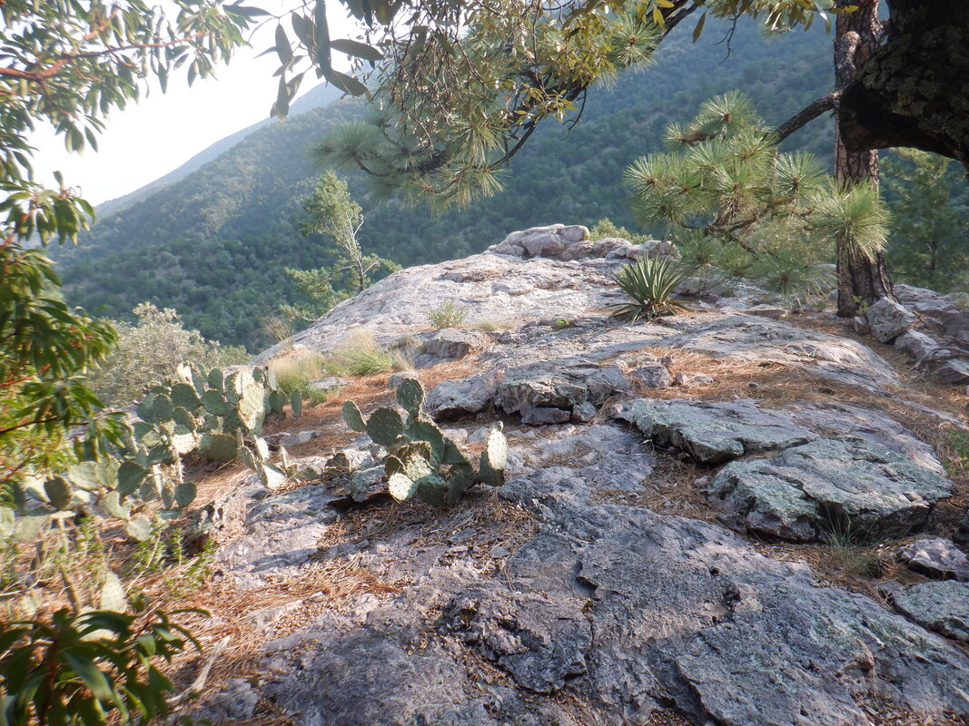
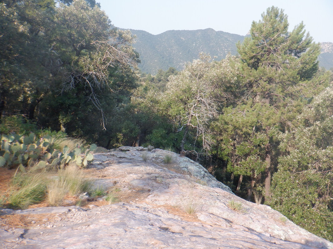
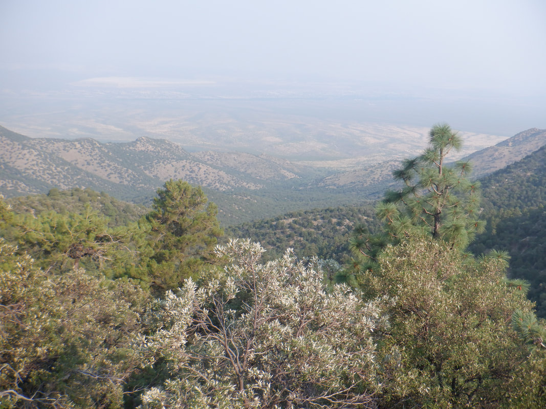
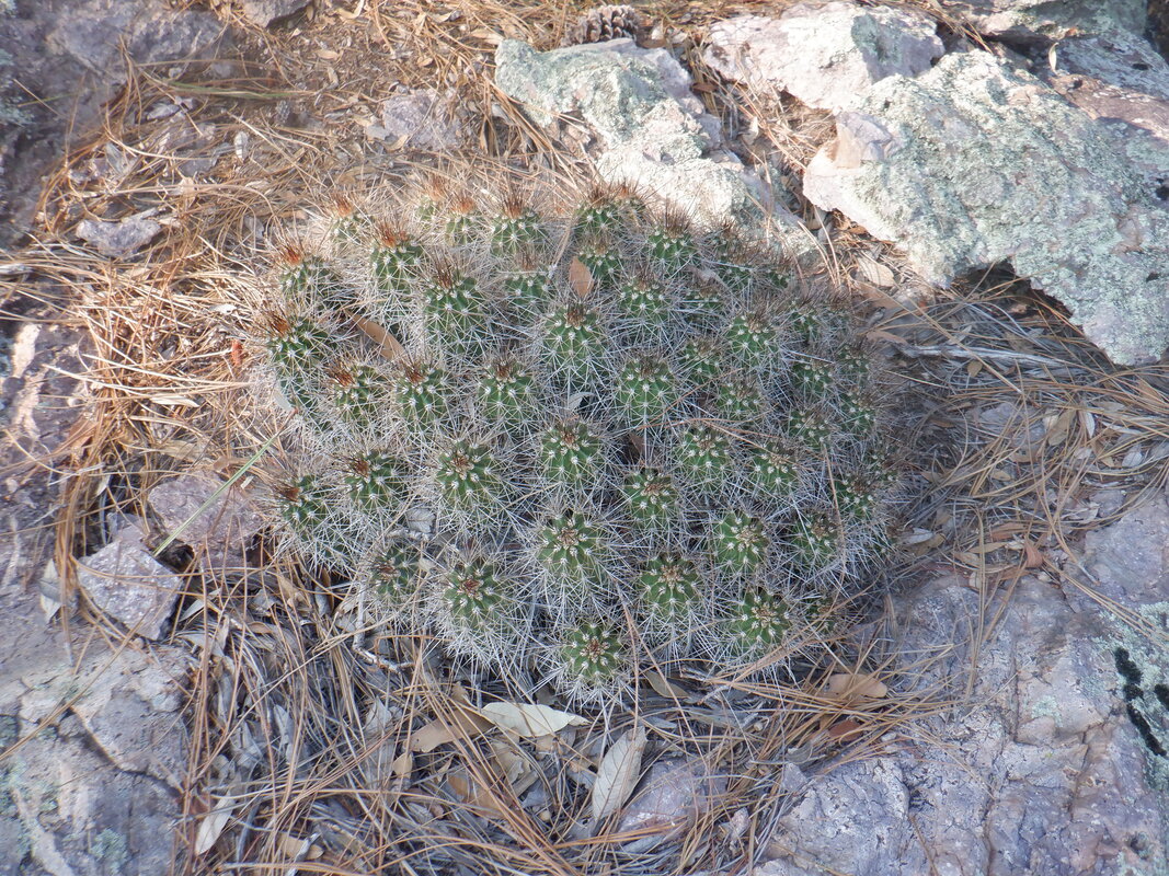
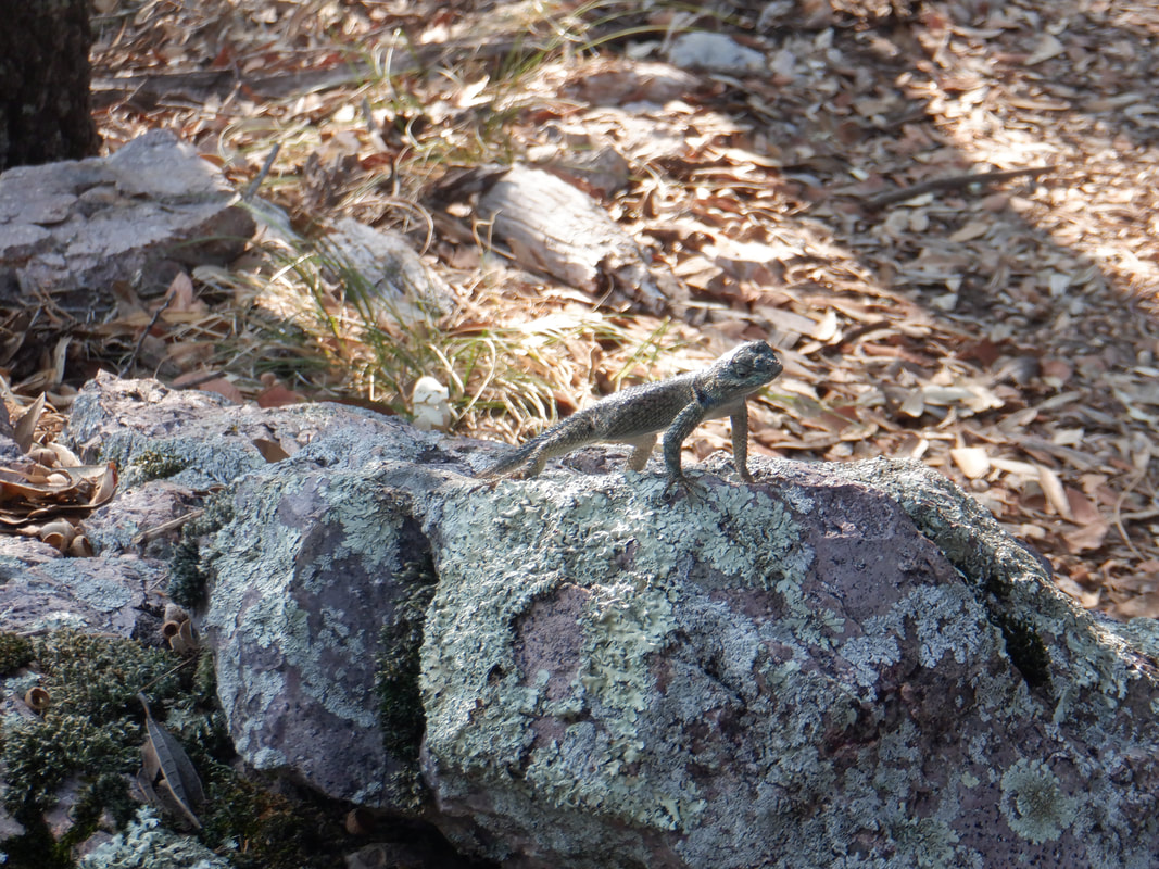
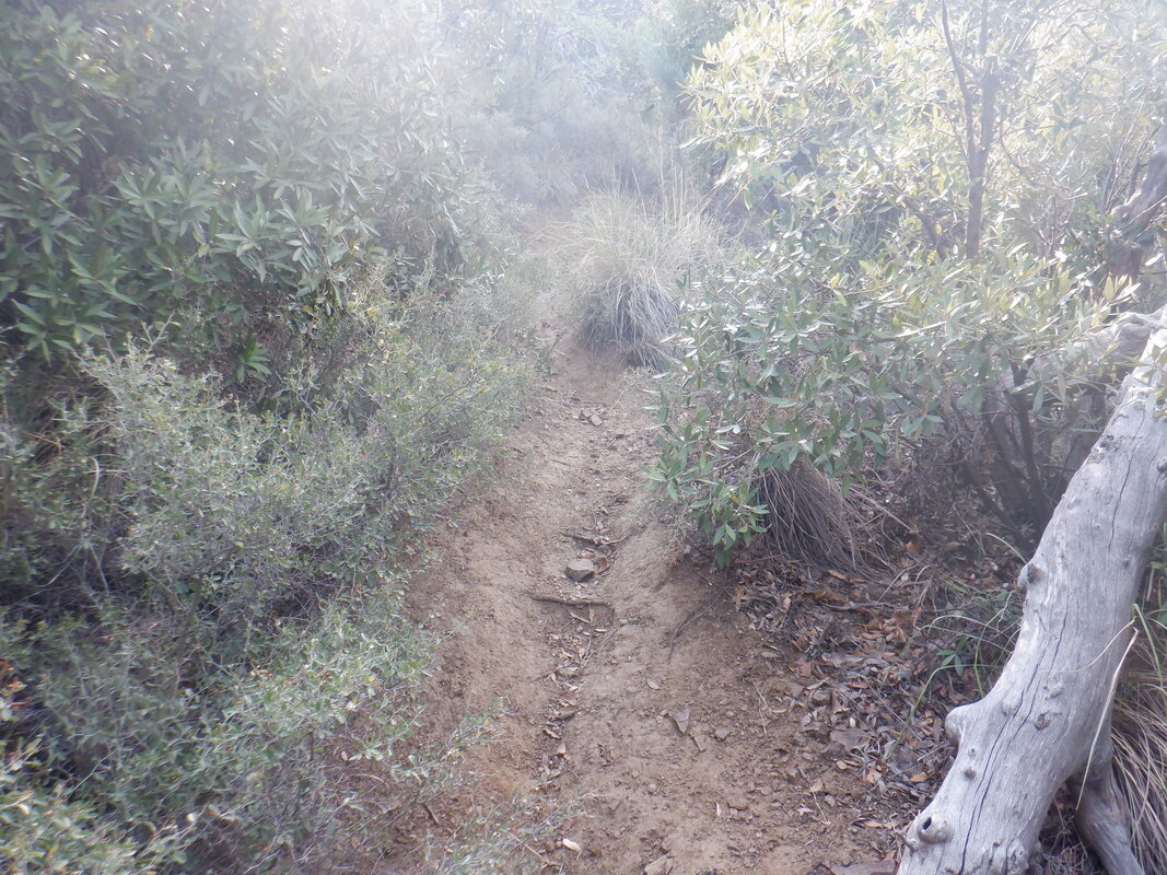
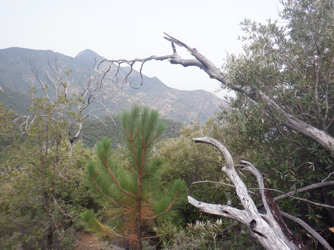
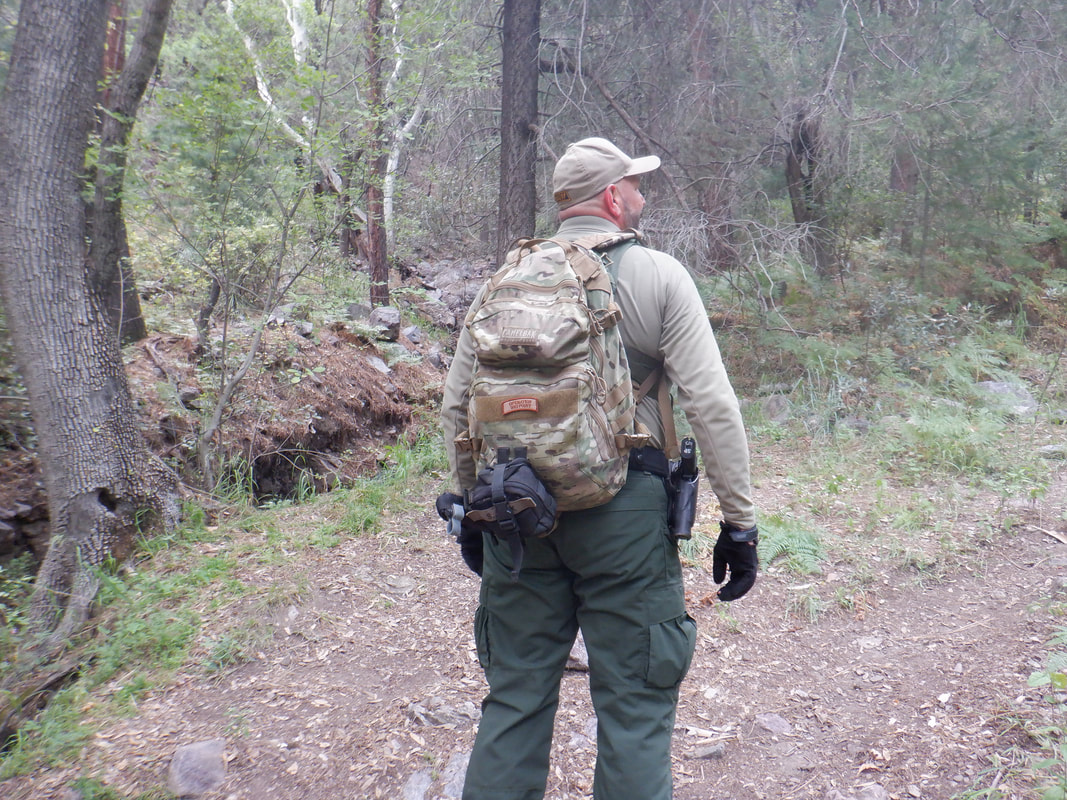
I had long heard about a hike to Roger's Rock but never visited it so had no idea what to expect. A worthwhile destination as it turns out. Much of the route is off the official trails but the route to the Rock is well defined and easy to follow. I start on the Super Trail and less then half a mile, see a trail breaking left at the above fallen log. Now I'm on what locals call the Pipeline Trail. It has a few steep ramps but mostly contours around a mountain and generally is a fun, rolling trail to follow. Along the way there are..... ....many fine views. The trail is above the very steep, Kent Springs Trail and eventually...... ....skirts it but I bear right and head up a boulder strewn ravine. The trail remains easy to follow although without knowing to go up the ravine, it would be easy to continue on the Kent Springs Trail. The hillsides are covered with pine needles. Such a different environment from what is a couple thousand feet below me. My hike started at 5400' elevation so the temperature difference is significant. After perhaps 1.5 miles from the parking lot at the top of Madera Canyon, I reach this tree with an oddly shaped trunk. Here, a spur trail breaks left and it too is obvious. So far, I've not seen any significant rock but rounding a corner, this has to be it. There are several options for climbing around and above it on the right. Reaching the back of the rock I am greeted with.... ....a beautiful opening onto Roger's Rock. Don't ask. I have no idea the origination of the name. The top of the Rock is relatively flat and expansive. Some good rock seats are available right at the edge. California wild fires are having an impact on the views as smoke drifts to the east and fills our sky. There is a really good example of a hedgehog growing on the Rock. The Rock was not my final destination. I read that a trail continues above it and in 2 miles, reaches Shovel Saddle. It was not my intent to go all the way, just scout the route so I continue up a ridge. A lizard appears to be giving me the evil eye. Surprisingly, the unofficial trail is easy to follow although brush is encroaching a bit. Seeing that the route is much easier to follow then I thought, relieved, I turn around. When I reached the Pipeline Trail, I spotted a Border Patrol Agent, my 3rd encounter in the last week. I've enjoyed talking to each of them and their perspective. One thing has puzzled me though; I always assumed the drug runners and other border crossers used the network of washes to move through the area. I asked this guy about that and he said partly it was the availability of springs for drinking water but mainly, if a group is spotted (in this case there were 15 some where in this wilderness), it takes the agents hours to respond, gear up and hike. By that time, the group can be long gone. Finished with 5.2 miles and 1500' of climbing. Well, headed north to the Grand Canyon and much cooler temps. Will report back soon.
0 Comments
Leave a Reply. |
Categories
All
Archives
November 2023
|
