|
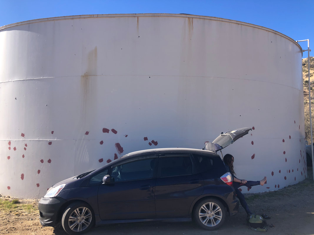
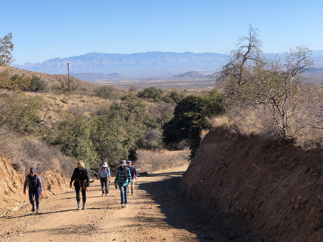
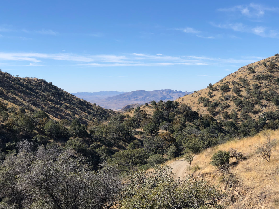
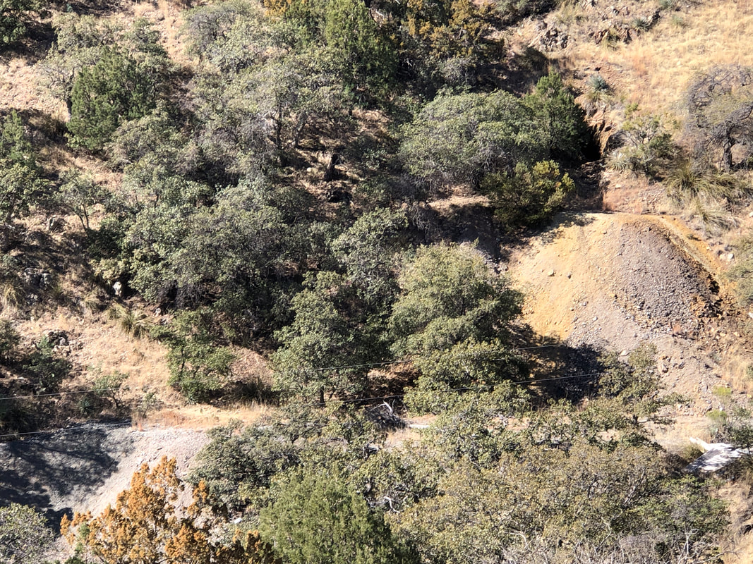
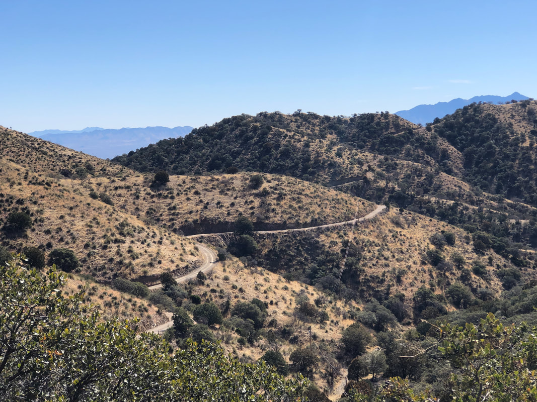
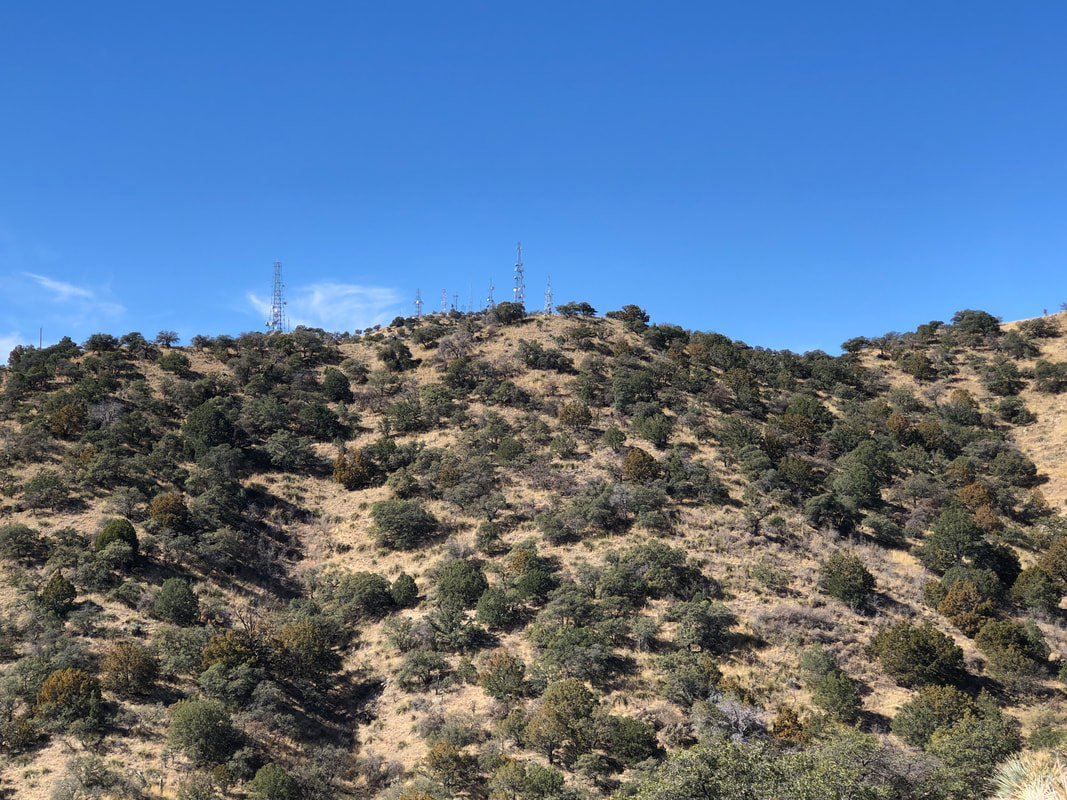
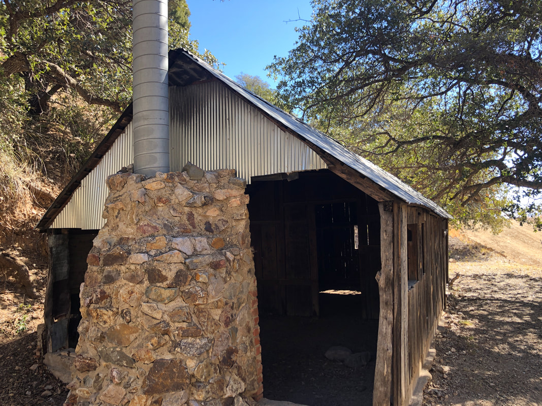
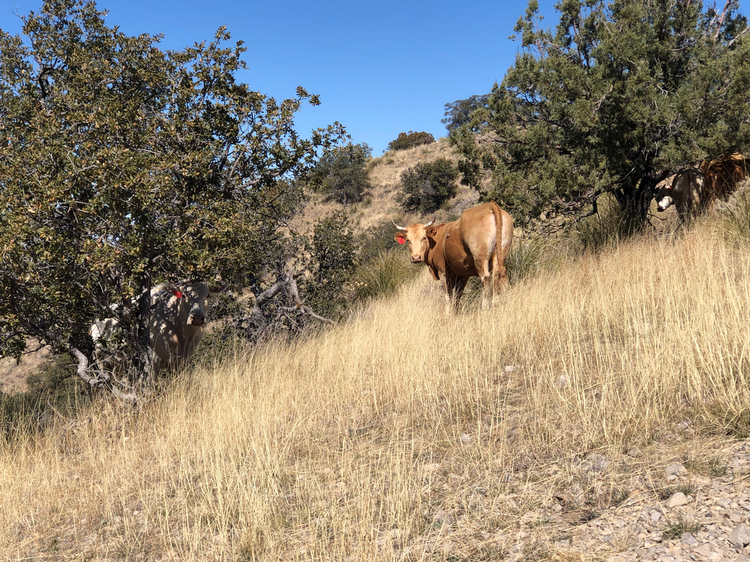
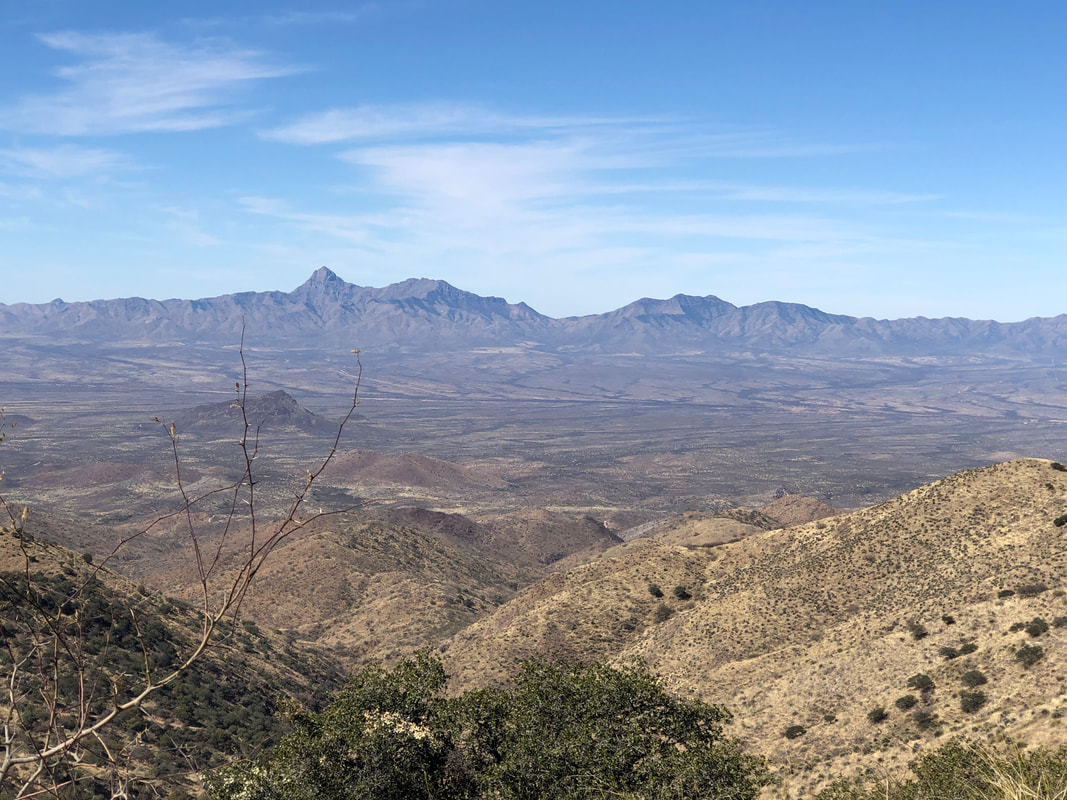
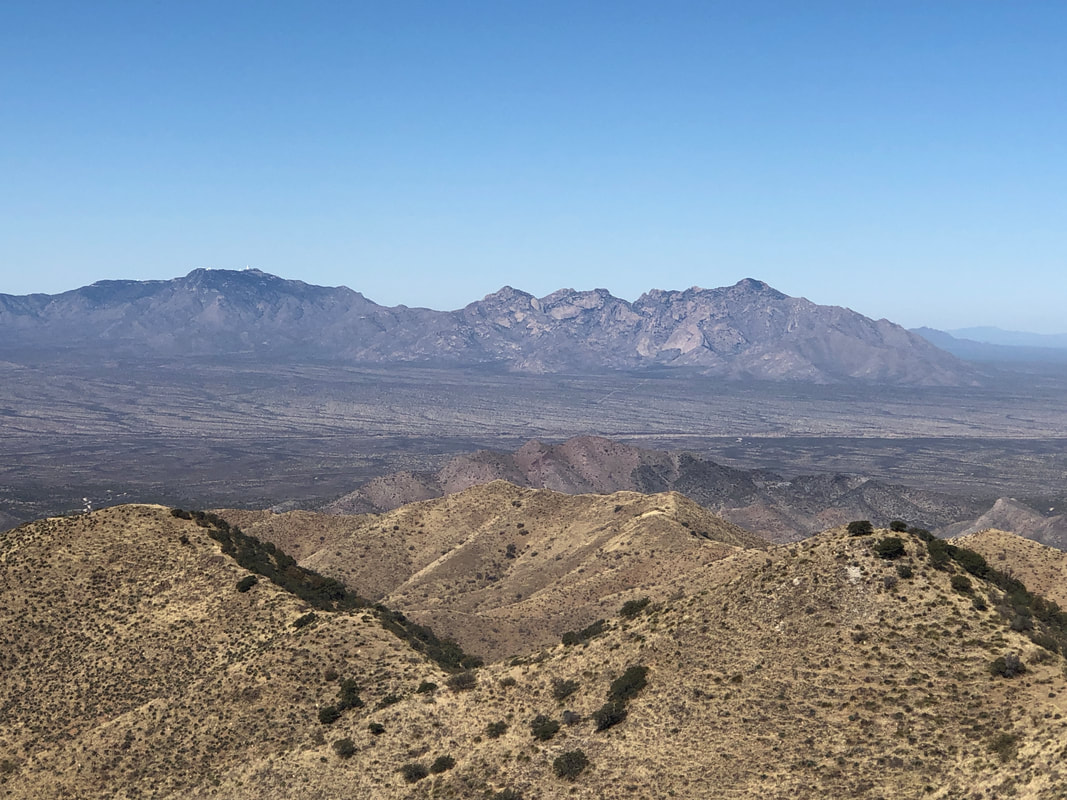
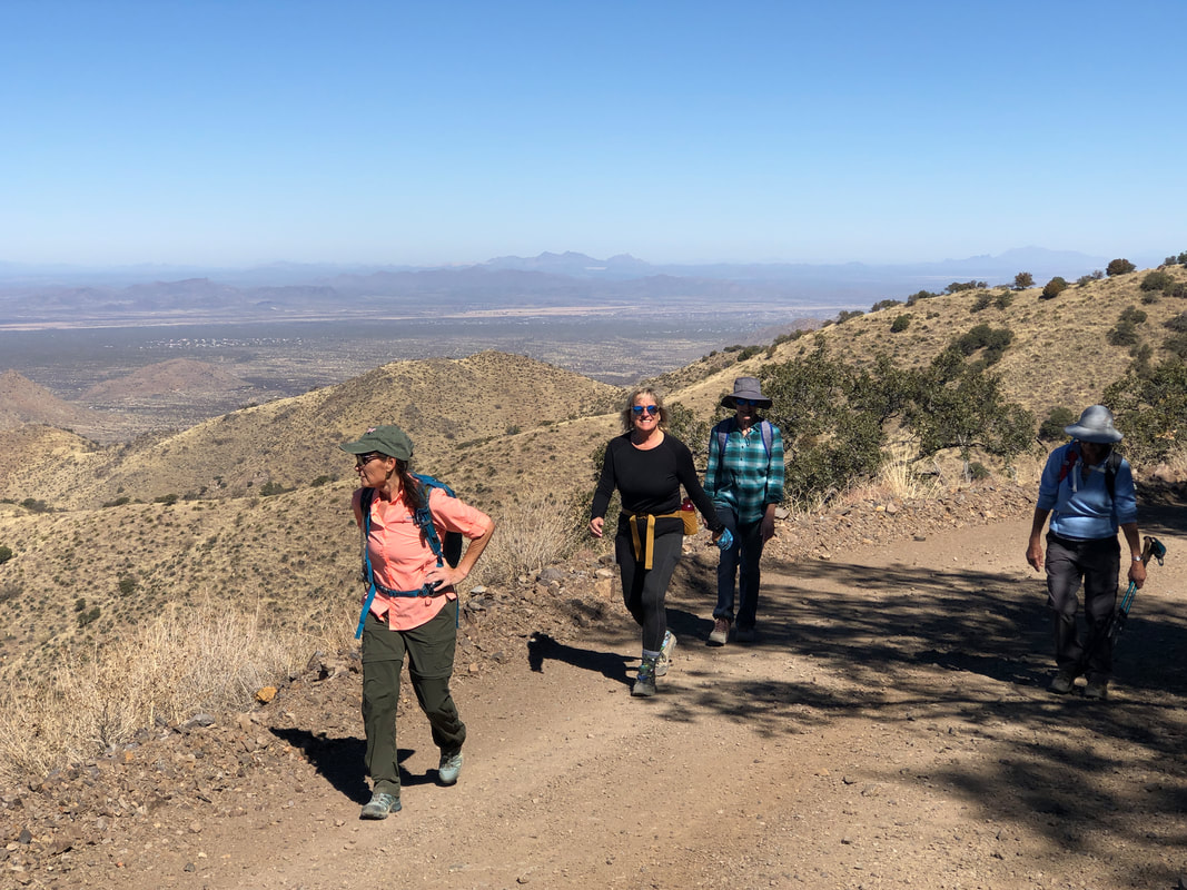
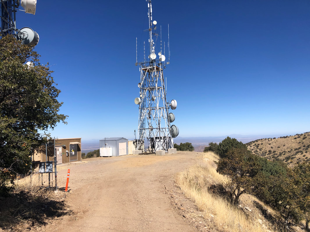
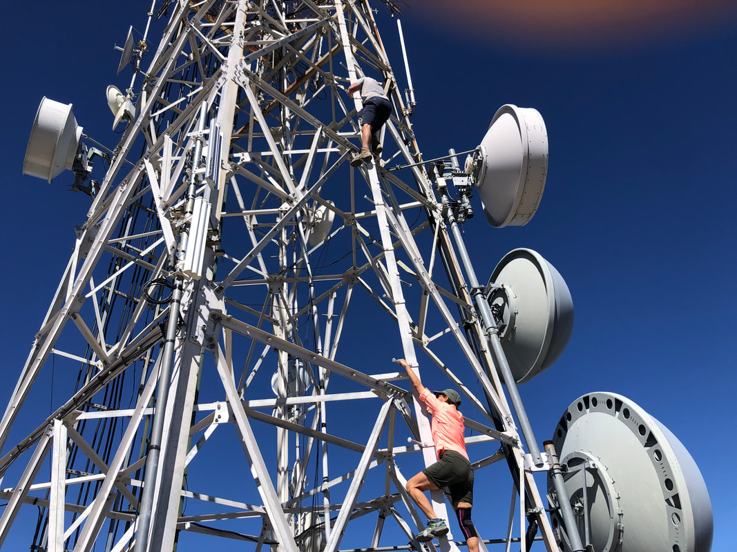
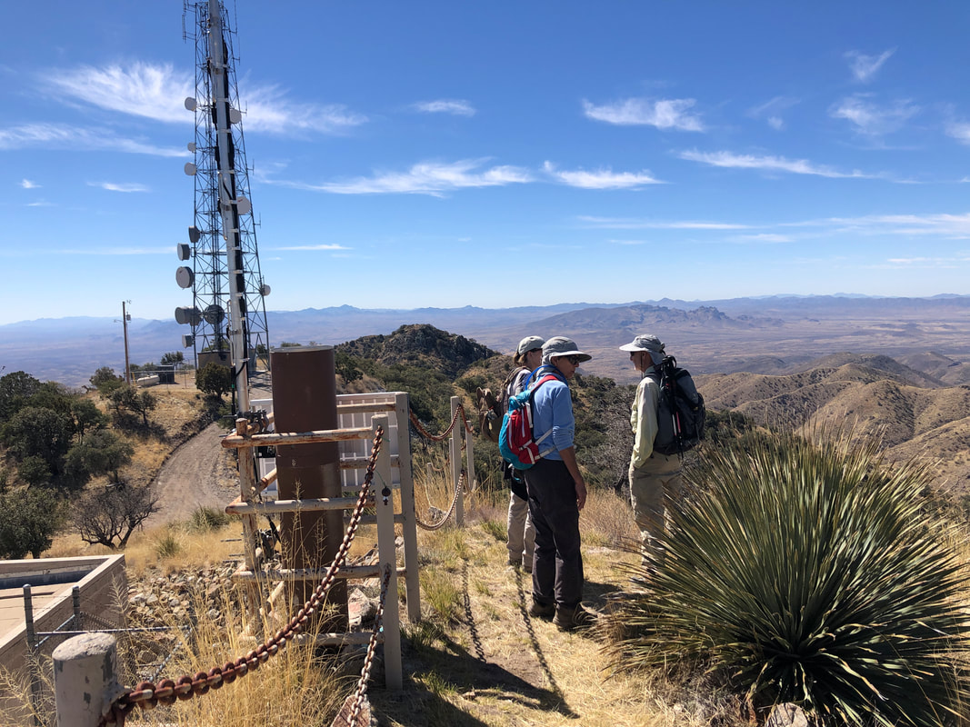
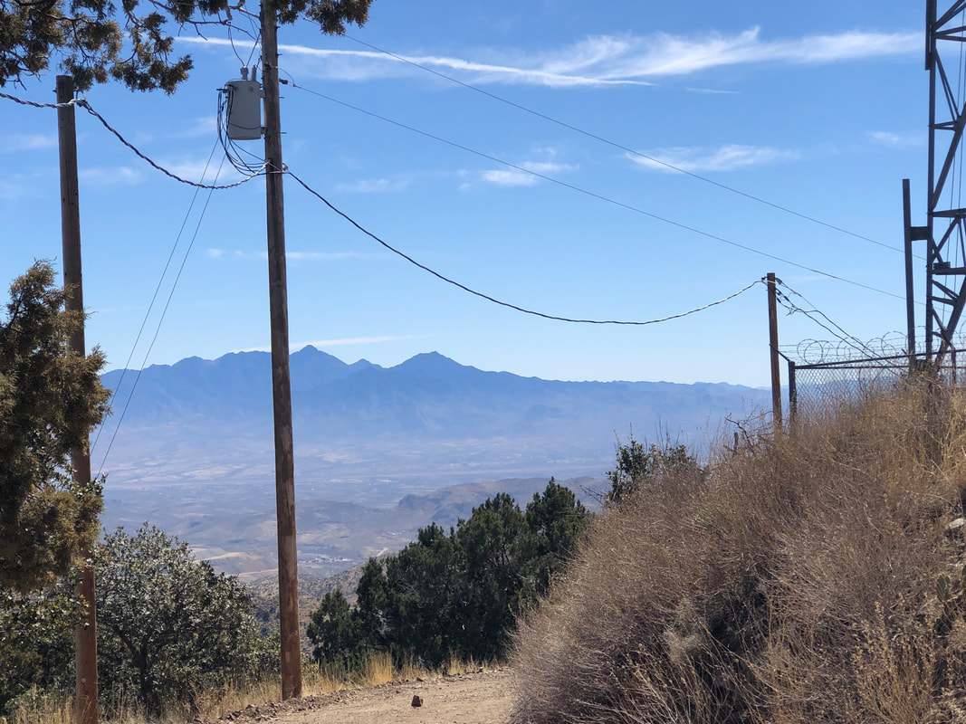
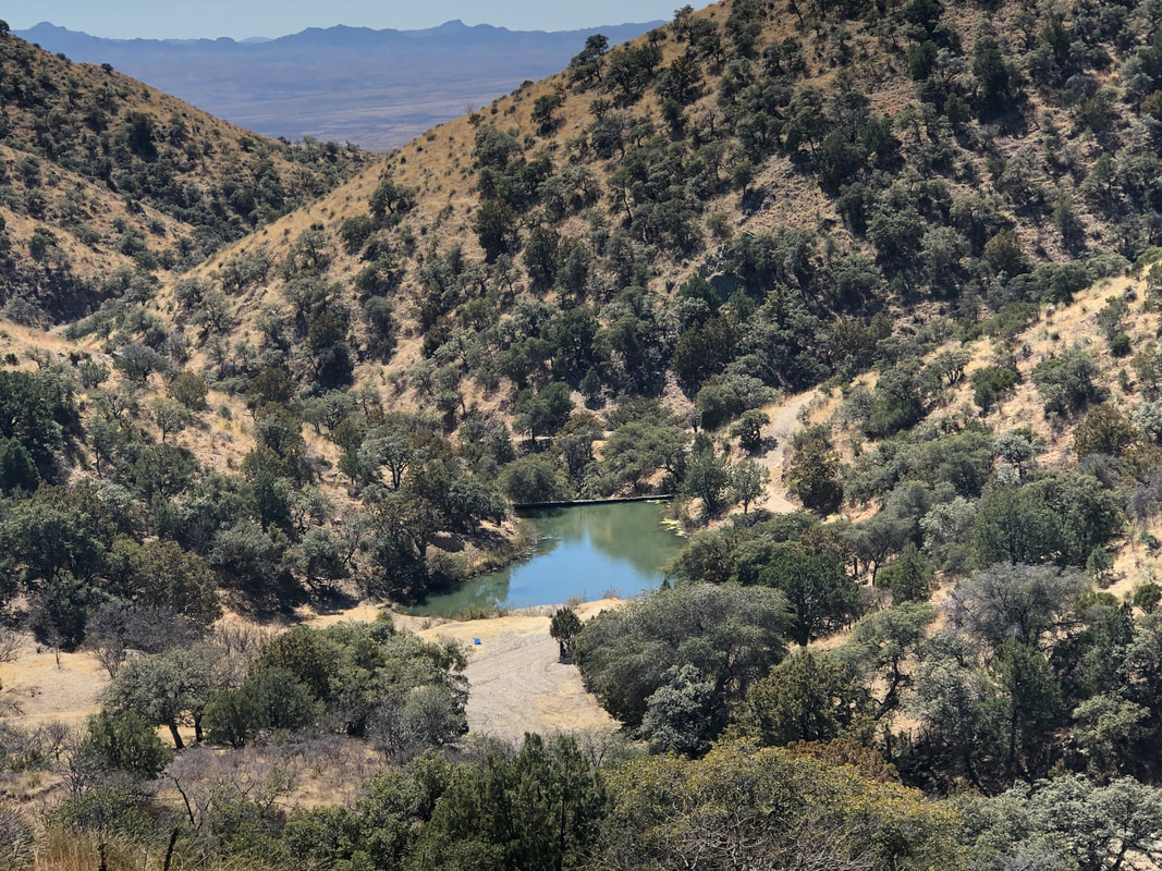
Our group gathers in Sahuarita, consolidates vehicles and heads to a trail head where parking is limited, around a large water tank. We have arrived to hike to Keystone Peak, the high point in the Sierrita Mountains, southwest of Tucson. Twelve of us pass through a gate and begin hiking, steeply at times, on property of the McGee family who generously allows access. We pass a few homes, then the McGee Ranch Cemetery as we follow a wide, well groomed, dirt road. As is always the case when climbing in this region, the higher one goes, the more magnificent are the vistas. It's odd that even though we are in such close proximity to Tucson, there are no saguaros, mainly scrub oaks and junipers. After 1.3 miles we reach Shiloh Pass. At times our ascent had us walking up 21% ramps although it felt steeper. I assured the group that the worst was over and it was but there would be several other steep sections, just not as long as what we endured. Along the road, we could see several abandoned mines. Our hike continued and at one point, I paused to look back. What a neat sight with the serpentine road. A few communication towers can be seen but although they appear to be atop this nearby peak, they are on a more distant one. After 2.7 miles, we reach the abandoned West Star Cabin, built in 1912 to support area mining. It's a pretty site with plenty of shade. Some of us left the trail to climb to a nearby ridge where we encountered 5 cows and.... ....awesome views to the west which included...... ....Kitt Peak on the left and the Coyote Mountains on the right. We resumed our hike and soon..... .....reach a collection of buildings and towers. This is not quite the peak but a good place to take our break. Marc and Lorna.... ....start climbing a tower that was not fenced off nor having any warning signs to discourage. Marc actually made it to a platform while Lorna thought better of it and returned to the group. We then made a quick ascent of a hill that was slightly higher then where we had taken our break and found a summit registry. Officially, this is the highest point as we marveled at the views. Mount Wrightson, just right of the pole, Hopkins to the right of Wrightson. We began our descent. Occasionally we passed other roads and I thought it would make a neat network for our gravel bikes, which are welcome by the McGee family. We finished with 8.5 miles and 1550' of climbing.
0 Comments
Leave a Reply. |
Categories
All
Archives
November 2023
|
