|
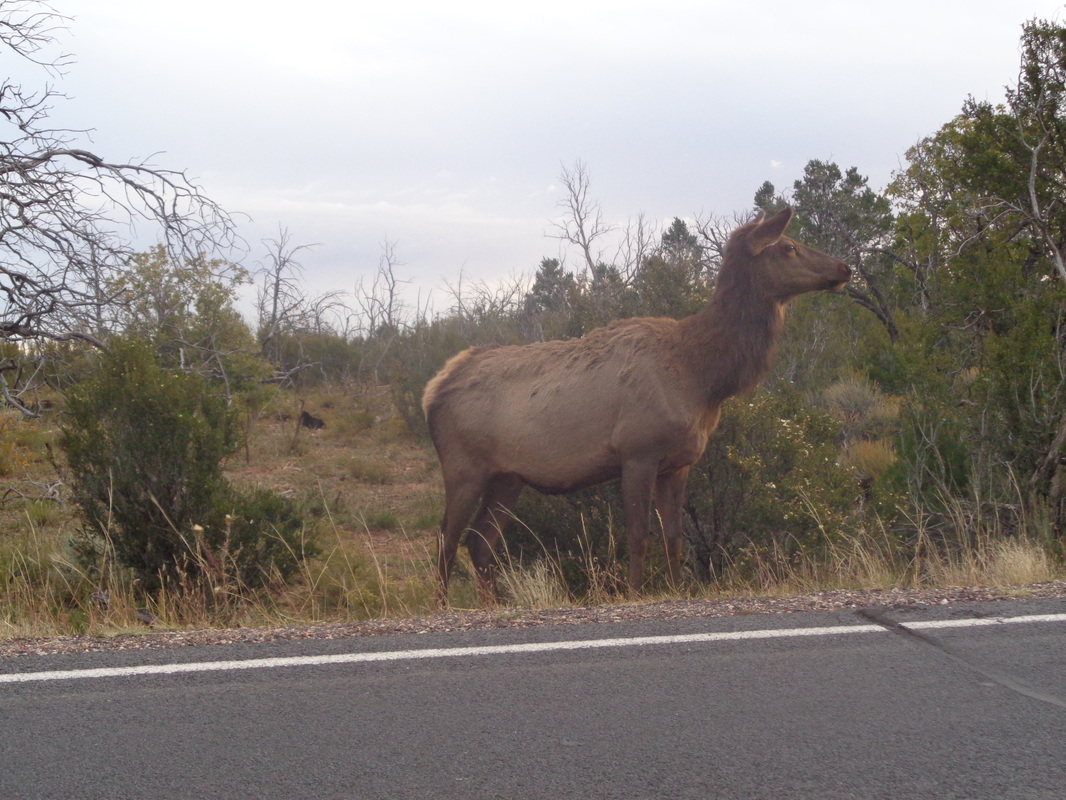
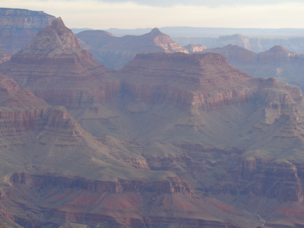
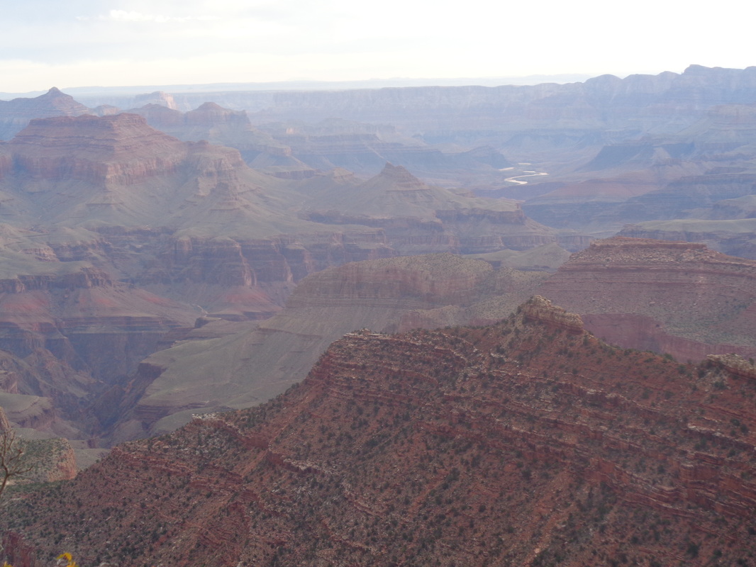
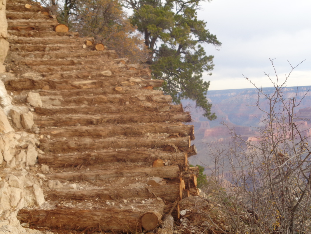
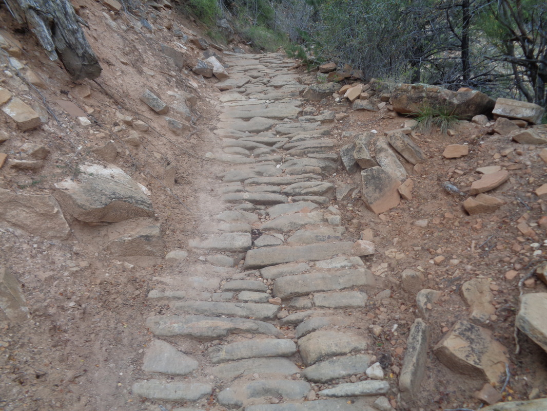
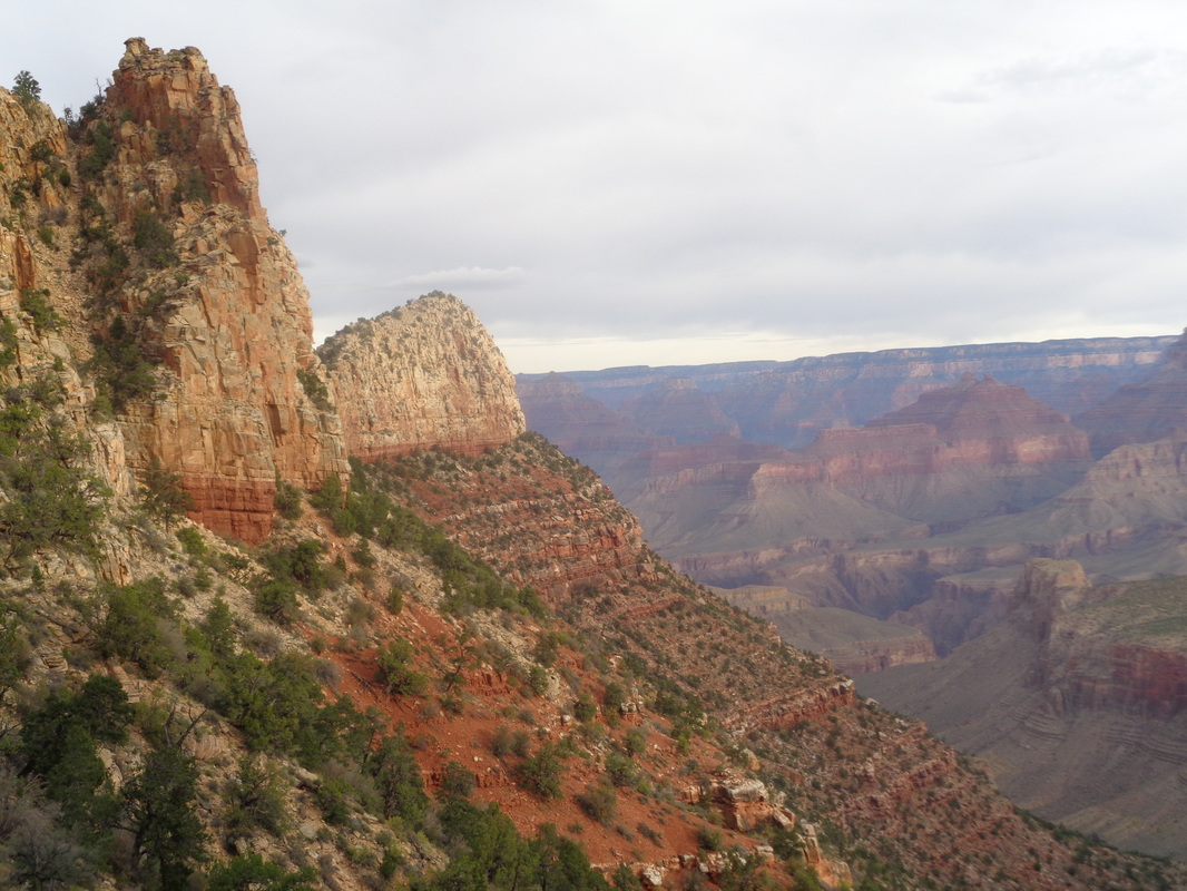
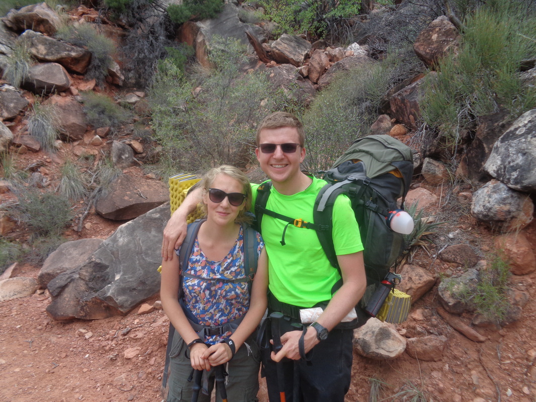
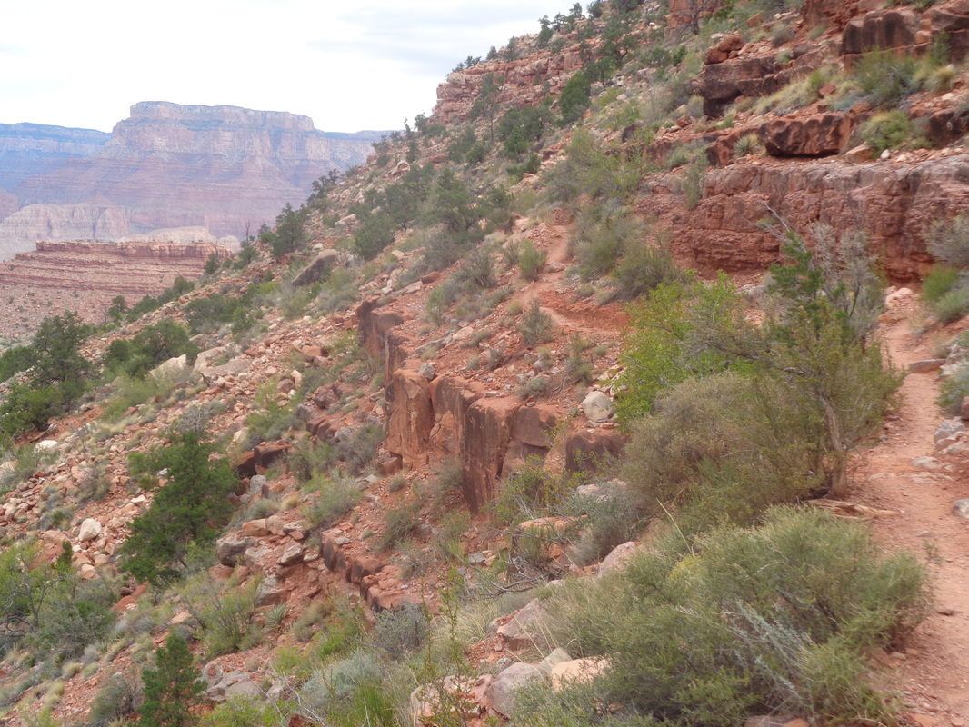
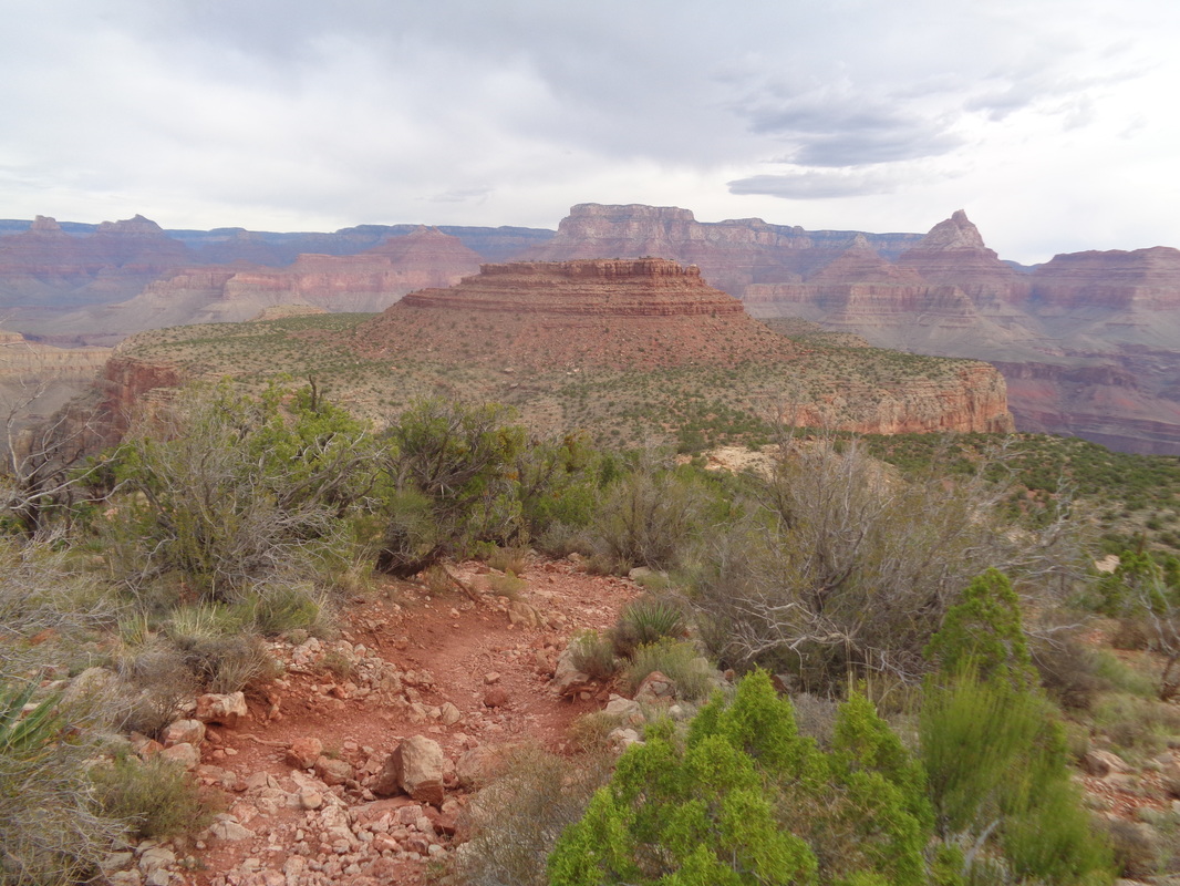
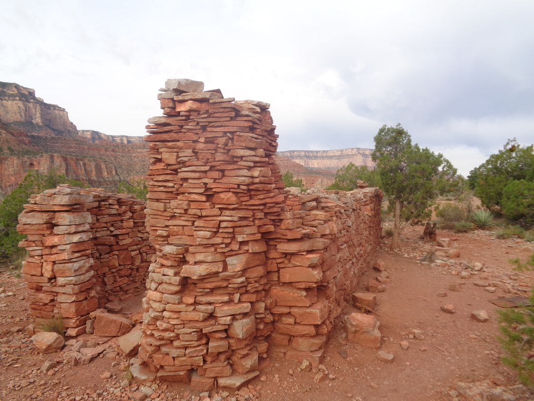
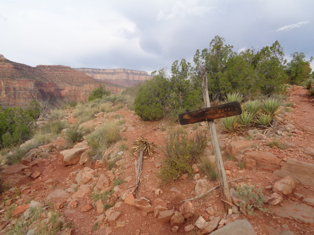
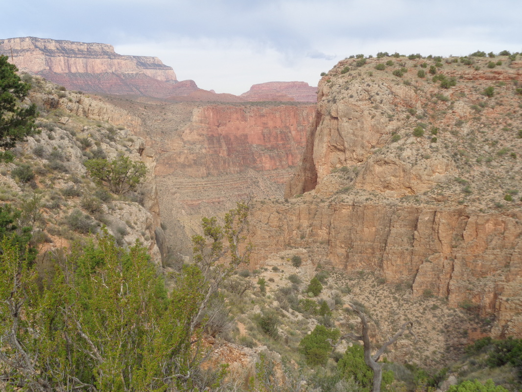
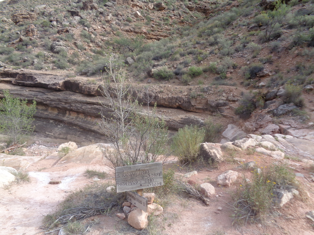
I arrived at dawn on an overcast day, south rim of the Grand Canyon. The overnight low was forecast in the mid 30's but the cloud cover kept temps in the mid 40's so I gleefully left the cold weather clothing in the car, which I parked in the ample parking area at Grandview Point, a well marked spur road off Desert View Drive.. The chance of rain was 20% so I included a leaf bag in my back pack just in case. Elk were present in large numbers as I drove. The usually grand colors were muted but still spectacular. Yes, as usual the quality of the image fails to capture just how spectacular. In the distance, the muddy waters of the Colorado River. Later, I took a pic from almost the exact angle but while standing on the Tonto Platform, about 4000' lower. A Note to Readers: I found blogs like this a valuable resource while planning this hike, along with the usual guide books. Despite all that I read, I was nevertheless "stumped" a couple of times and in this and the ensuing post about the ascent, I will try to add clarity to help those who find this report while looking for information.. The Park service has been busy so other reports that describe rock slides and exposure are outdated. Doesn't mean a slide tomorrow won't create problems but as of this writing, the 3 mile descent to the Horseshoe Mesa is on a trail similar in quality to South Kaibab or Bright Angel, just a bit steeper. Note the Juniper logs recently installed and.... ....many looooong expanses of imbedded stone. Gravel on the surface makes footing problematic enough that you'll ant your eyes glued to foot placement rather than enjoy the views but for that, just pause and.... ....look. I descended very steeply until hitting the red rock formation where the knee buckling subsided for awhile and where I ran into.... ....a nice couple from Poland. I get the biggest kick out of meeting people like this. Never visited the US but decided they wanted to travel to AZ and backpack a portion of the Grand Canyon. After 4 fun days, they are on their way out. Ohhhh, the sweet relief of walking along gently rolling trail. About here a woman bent double with a huge pack stopped to ask me what were my plans. Oh, she wore the Park service uniform and since they respond to so many distressed hiker calls, it makes sense to question a guy who has only a waist pack and one of his child's old book bags on his back. Yeah a strange set-up but it works for me (note on this day of cloud cover and highs in the 60's, I was carrying about 5 liters of fluids). Had I ever done this loop previously? Nope. Had I done anything similar? Oh yeah and after I described my resume she smiled and told me, "Oh, ok you're good." Elevation loss has taken the "horseshoe" shape out of the picture but there it is, the Horseshoe Mesa. I would descend the left edge, go around the back side and emerge from the right edge. After 3 miles, I came to a signed junction (see below) but continued on a few yards to visit.... .....the remains of a cookhouse dating back to the late 1800's. You can read about it elsewhere but mining activity was plentiful in this area. Retracing my route a bit I came back to the..... ....signed junction for Cottonwood Creek. I went left here, avoided a faint trail after a few steps going north/right and descended past dozens of rusting food cans that had been deposited here during the active mining stage. The trail soon crossed to the left side of the canyon and descends, once again, steeply with plenty of loose gravel. I found a single hiking pole very useful. I closed on a guy and had a brief chat with him as he was headed west at the next junction (see below). Following him made the multiple wet and soon dry stream crossings of Cottonwood Creek much easier. I found water only in the first two crossings, dry at all the others. Now I arrived at this sign post. Going left here takes you west to South Kaibab and other trails/destinations so I went right. Maybe you can make out the Tonto Trail as it follows a cliff band. So far, I had experienced no exposure or bulging boulders that took space away from the trail. I am probably a medium when it comes to exposure to trail side drops and I found nothing that even caused me to shift my center of gravity away from exposure. Part 2, the walk along the Tonto Trail and the ascent to the Mesa and the canyon rim coming later.
0 Comments
Leave a Reply. |
Categories
All
Archives
November 2023
|
