|
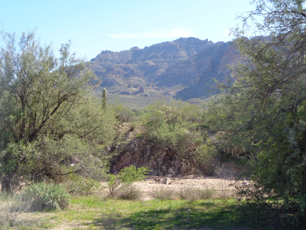
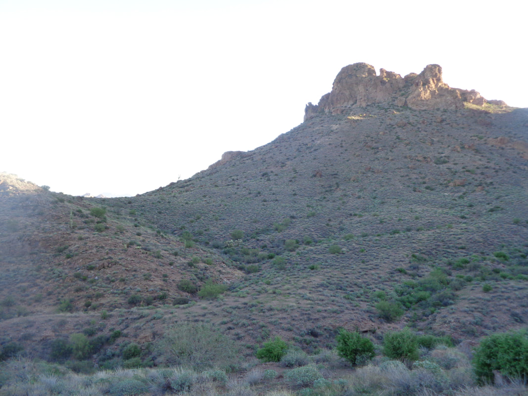
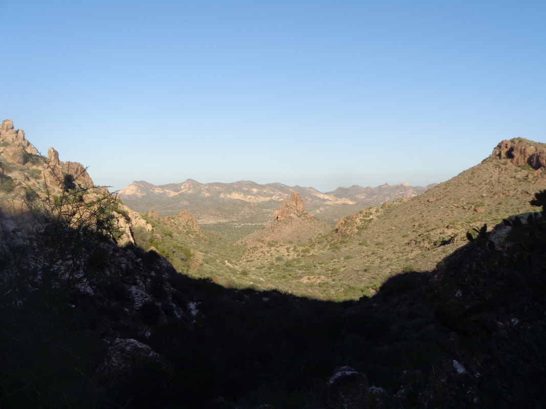
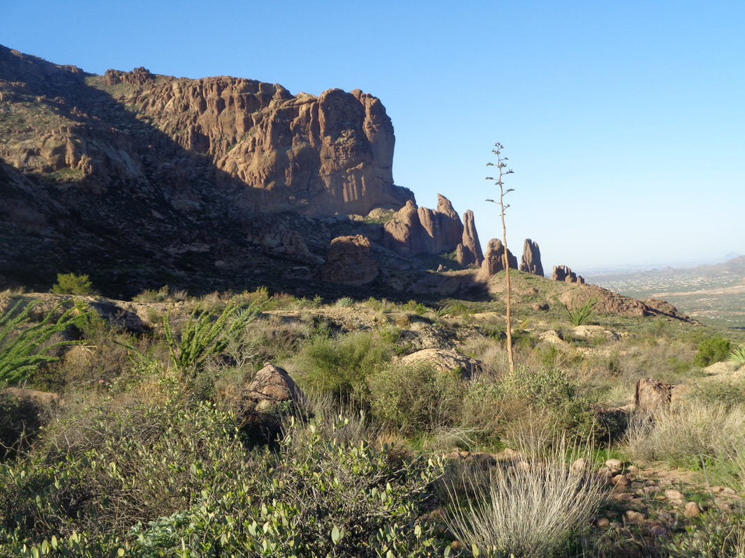
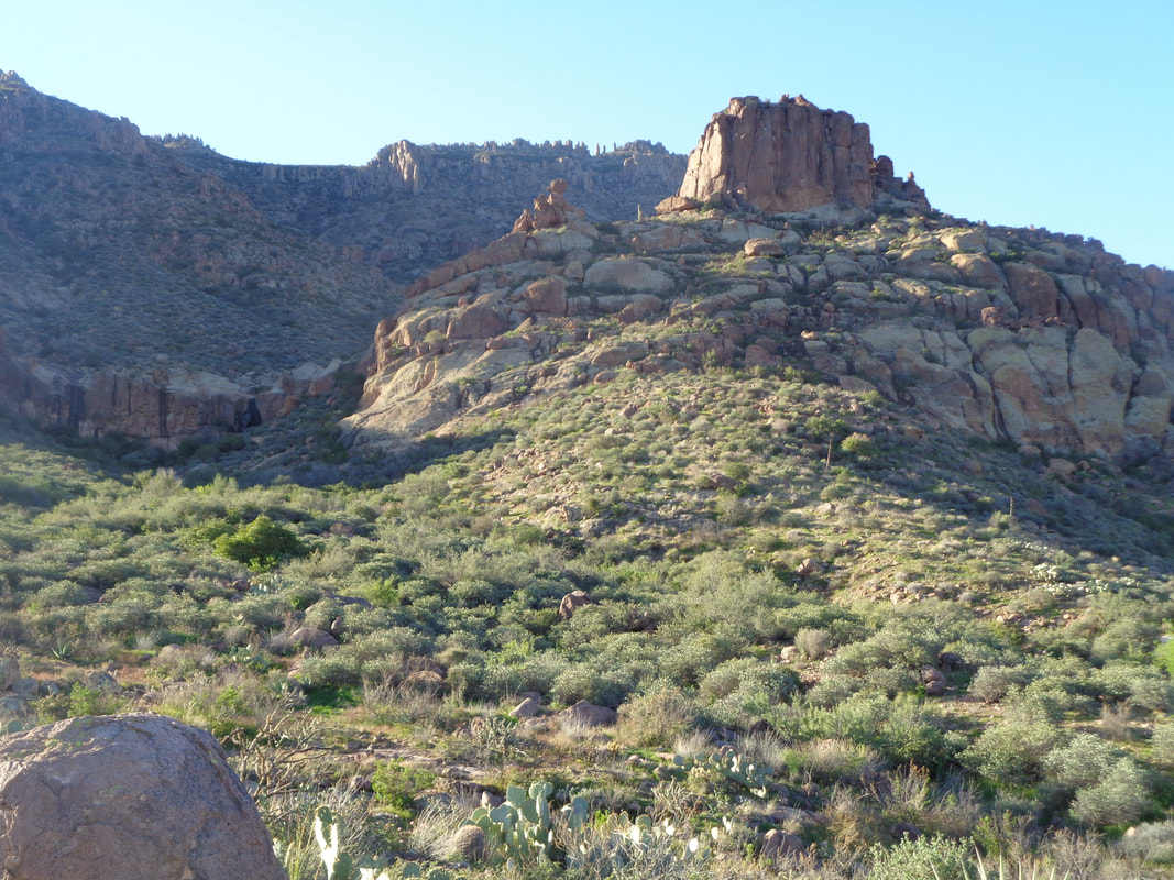
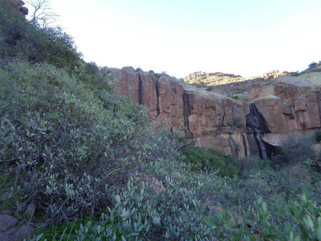
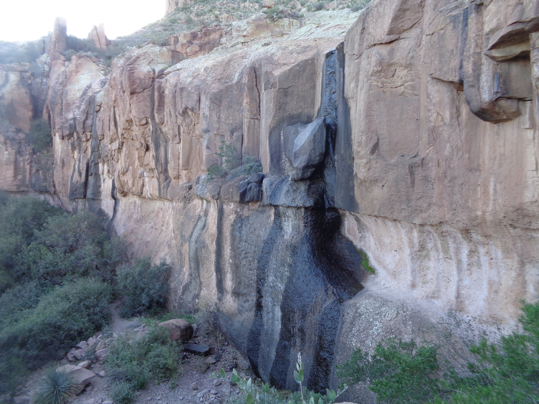
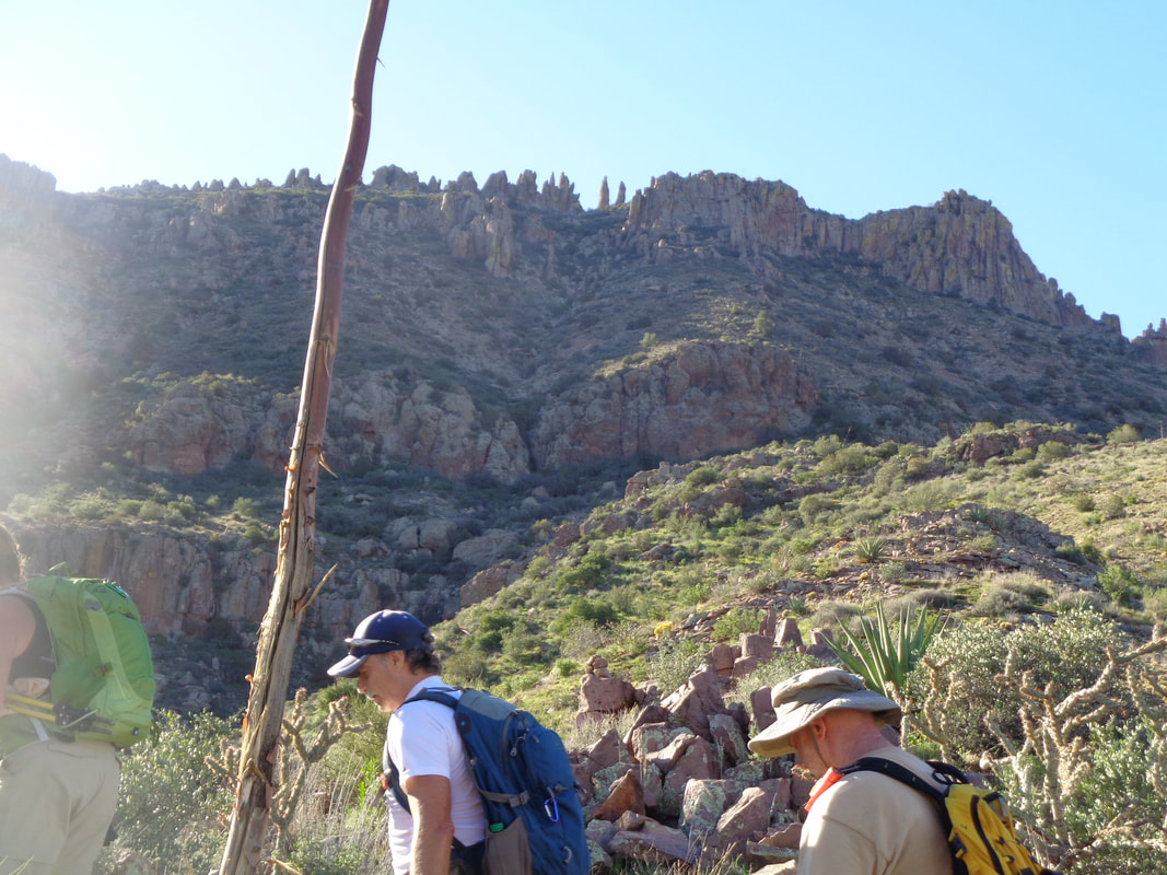
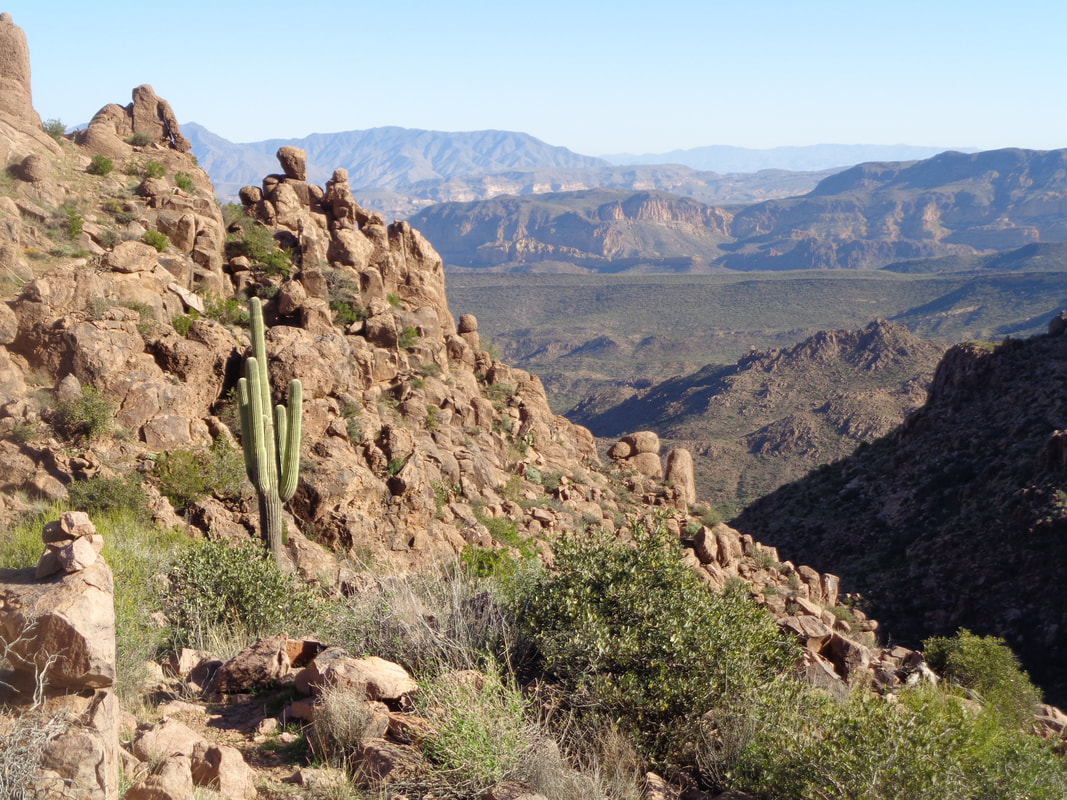
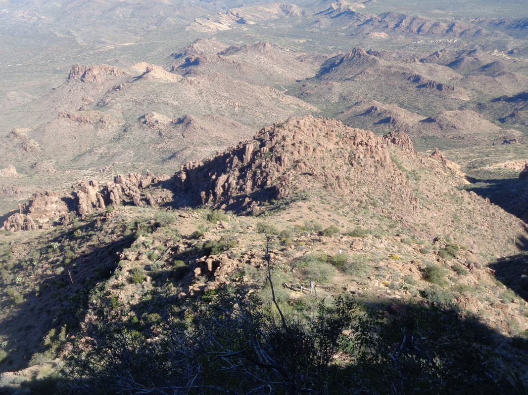
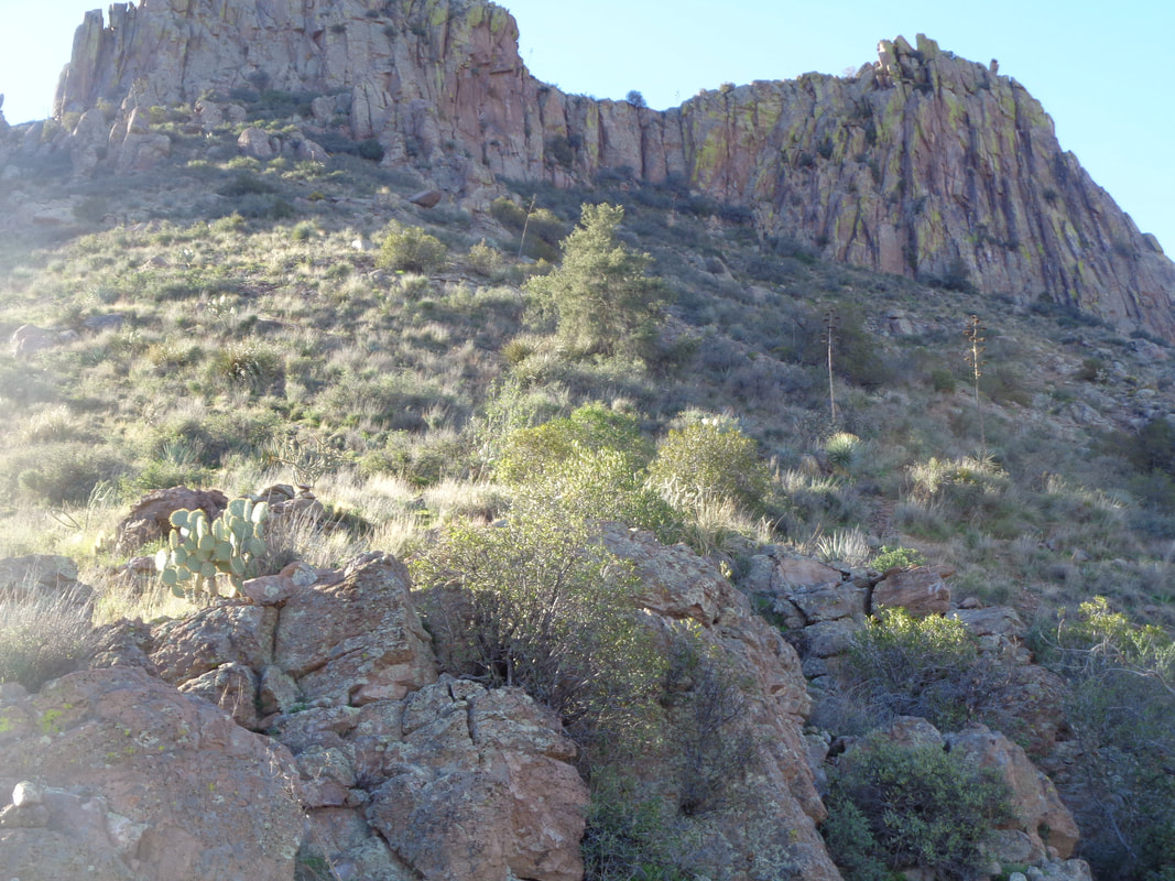
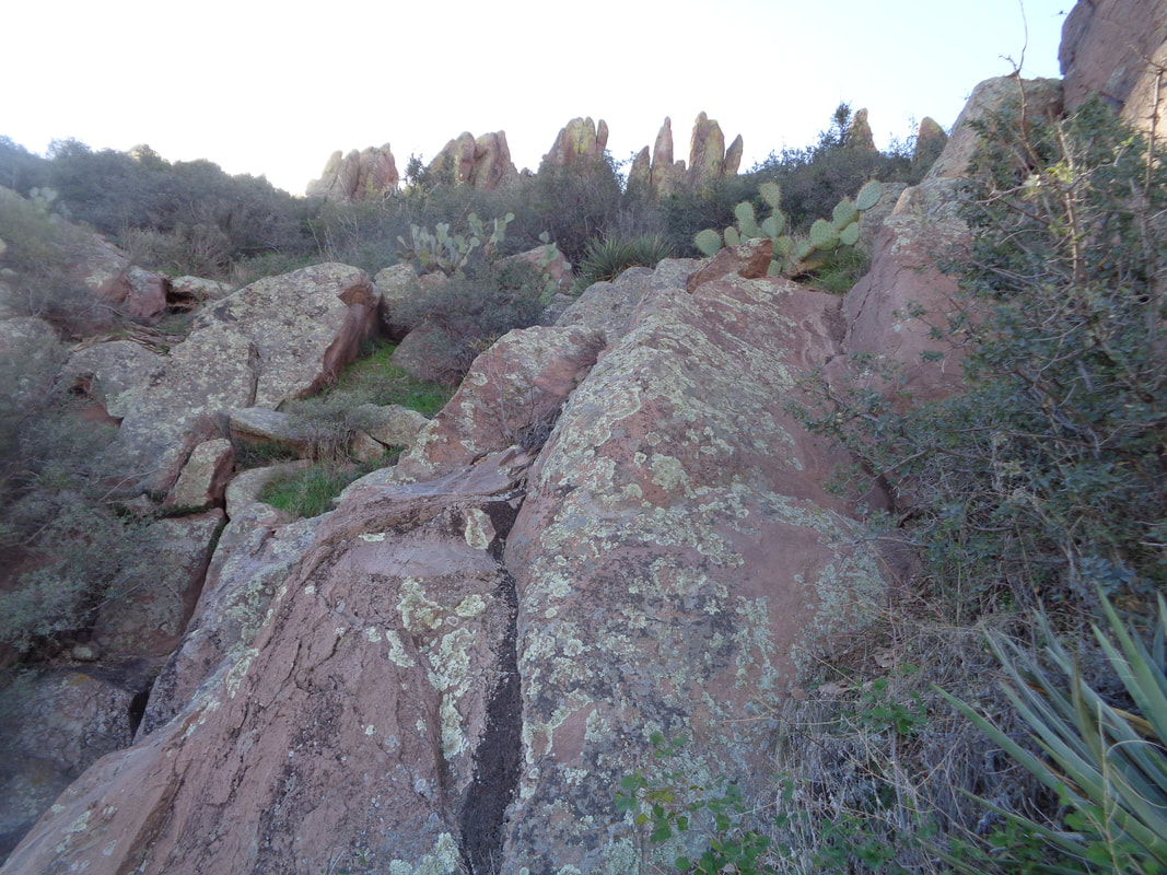
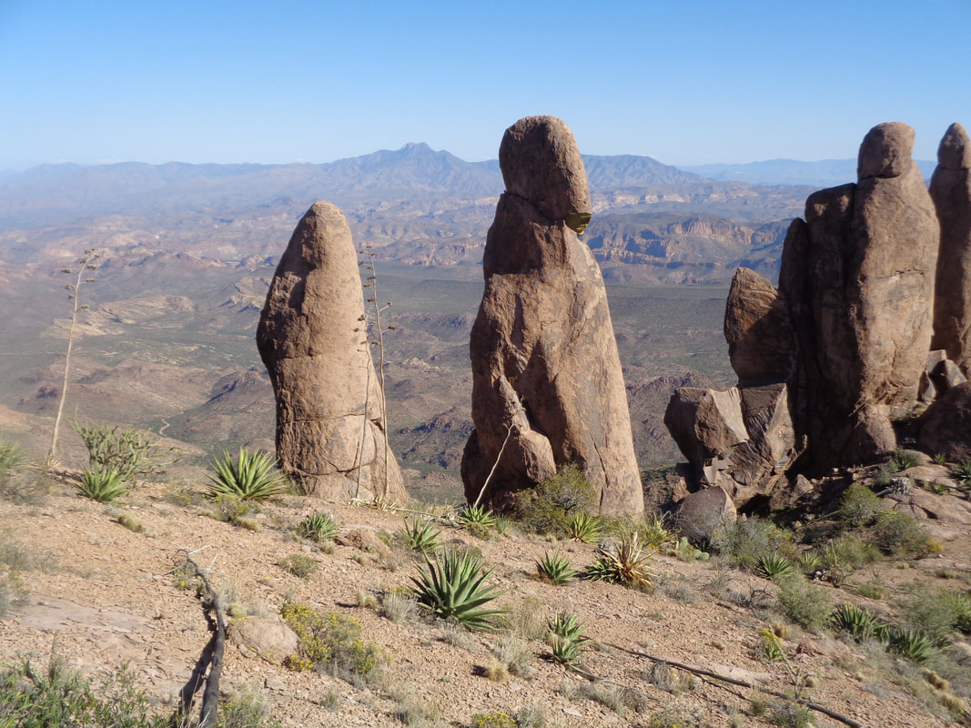
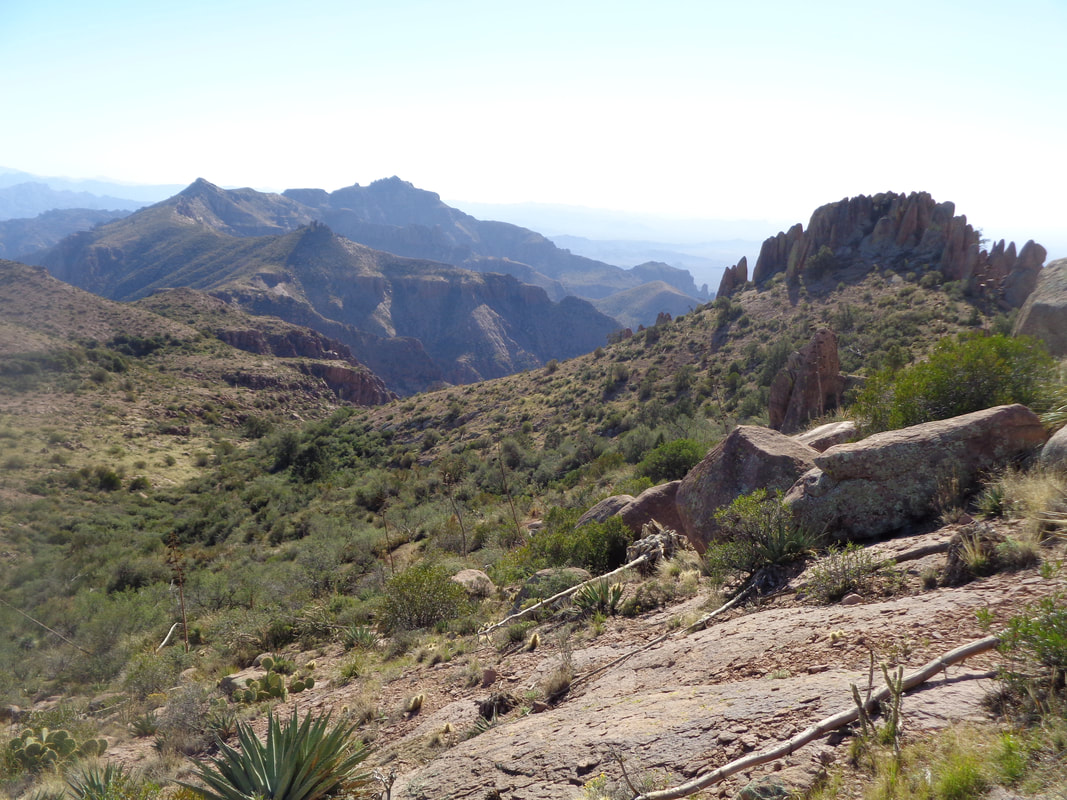
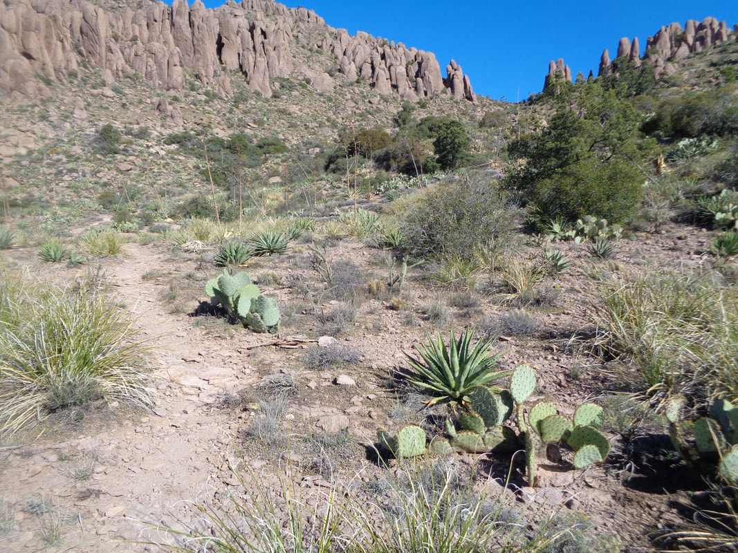
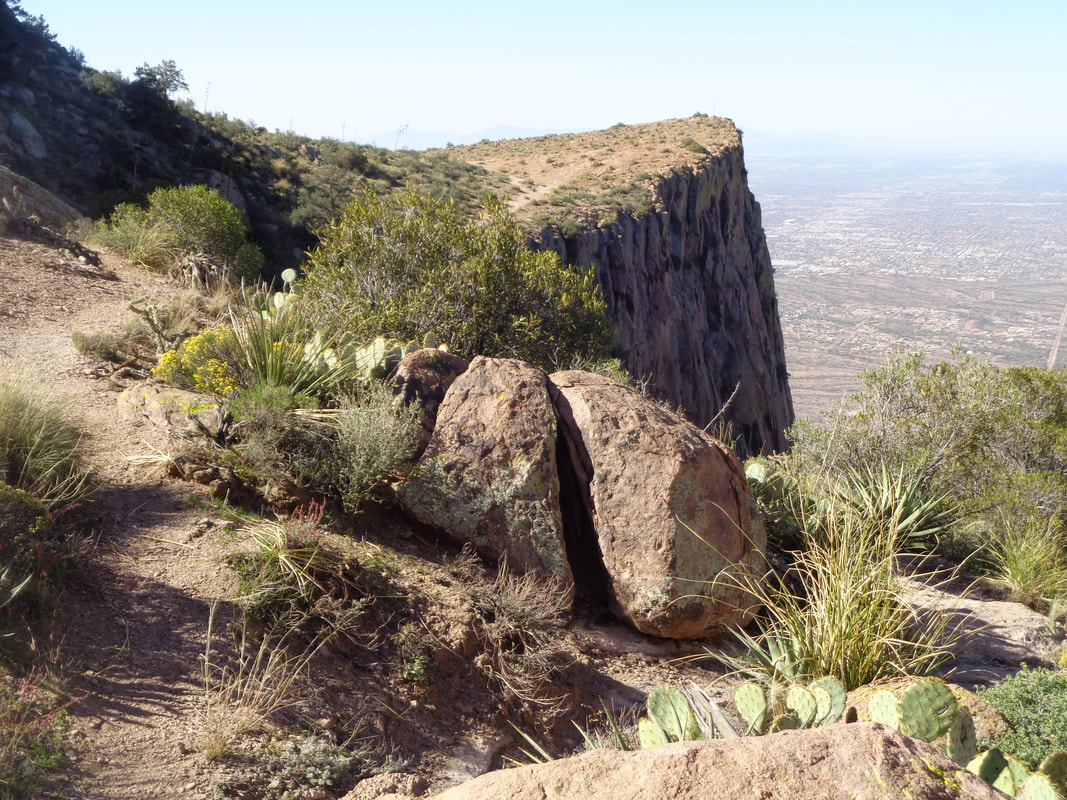
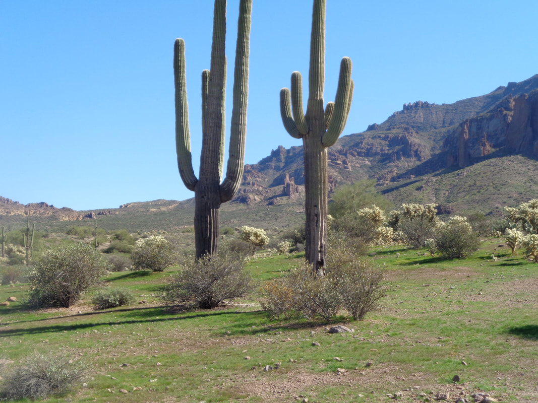
I took this image at the end of the hike because in the morning, the sun was at the above ridge, my destination. I had not done enough research so my knowledge of where to leave the main trail, signed as "Massacre Grounds" and begin bush whacking to the ridge was non existent. However.... ....I knew there was a small group ahead of me and thought if I could catch them, once on the route, I could find my way. I encountered a guy and asked if he had seen a group and he said no but that there were a couple of people ahead. I was walking about as fast as I could through these gentle slopes. I caught the aforementioned two people and asked them about a group and they said they were about 30 minutes ahead! Yikes, more ground to make up. They must have started before the appointed 7am while I started at 7:40am. The views become more special as I rise above the desert floor. The terrain becomes rockier as always when you approach the Supes. I'm still on the Massacre Grounds trail but stopping frequently to listen. Maybe if I hear their voices...and I do! They are midway up the rock formation, right of center but how do I reach them as they are now off trail. I keep going, looking to my right for a clue for the exit. The trail winds toward the above wall. Thinking the trail ascends that somehow but no..... ......it stays low and passes in front. I poke around but the trail ends here. I retrace my path, annoyed that I missed the exit and have lost at least 20 minutes. Heading back, looking carefully, I notice a very faint path. The path disappears but there are enough cairns (rock piles others have left to follow) that I begin to make up ground and..... ....the catch is made. Kind of proud of myself and route finding was a lot of fun. I was not part of the group so did not want to interfere. Take a look at the upper portion of the image. See those two kind of distinct pillars like goal posts that stand alone? That is what I did read was the exit from the route. I reach a cairn, stop, look for the next one, reach it, stop, etc... All the while the view is such a nice distraction. Maybe you can spot the others below me. Super steep through here, rugged, boulder hopping, scrambling, gawd I love it. Exciting stuff to me. The final slope. The average grade for the final 1 mile is 27%. If I was on a bike I'd have to push it. I was walking so stooped over because of the slope my hands were scraping on the ground. Just could not stand straight. The last pitch and the going is not obvious. I probe several places and at last.... ....emerge to be greeted by this strange alien looking spire. I had walked through the center of the goal posts and that too was cool. Now where to go? I had no idea. I knew where I was so not lost and in the distance is Superstition Peak so a feature called "The Flat Iron" would be off to the right. I head toward the slope to the left of the rock formation. I reach a ridge, look down, see what I suspect is the "Rridgeline Trail", reach it and follow it up and over another ridge and..... ...eureka! The Flat Iron, so named because it resembles an upside down iron. I follow the well defined Flat Iron trail to Jacob's Crosscut and march through a wonderful, undulating plain. I reach my car with 9.2 miles and 3400' of climbing. Hard hike and a lot of fun.
0 Comments
Leave a Reply. |
Categories
All
Archives
November 2023
|
